Penguin Ridge is the roadside ridgeline you see above the Seward Highway stretching from Girdwood to Bird. For years I’ve looked up at the ridge and wanted to hike it, and for years people have told me it’s a wonderful hike, yet for some reason I’ve always made an excuse to find something else to do. Finally one sunny Sunday, weather and partners combined and four of set off to traverse the ridge from Penguin/Bird to Gentoo/Girdwood.

In total the ridge is a 16 mile hike with around 9500′ of elevation gain and loss. It ascends 4 actual peaks and 5 points along the way (by Chugach standards a peak must have at least 500′ of elevation gain above a saddle, whereas a point has less than 500′) and most the peaks / points along the way were named after species of penguins by Vin Hoeman when he first traversed the ridge. If you’re interested Steve Gruhn has a detailed route description and historical description of the ridge posted here.
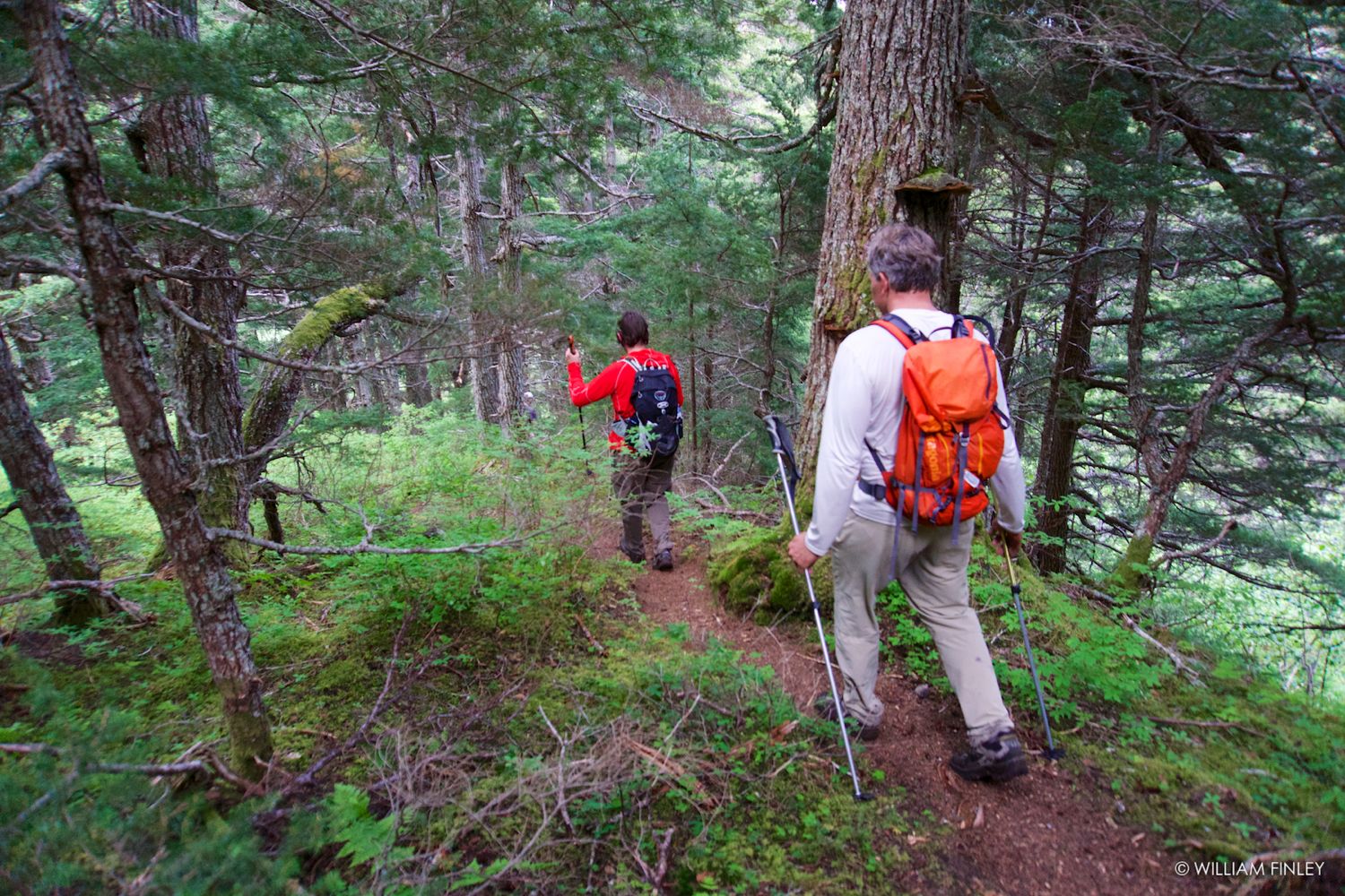
 Jake heading up the ridge to the top of Penguin. Jake heading up the ridge to the top of Penguin. |
 Big cornices even in June. Big cornices even in June. |
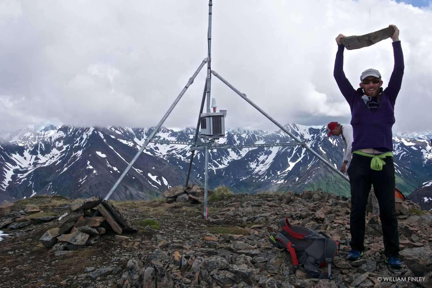 F-CNFAIC weather station maintenance. F-CNFAIC weather station maintenance. |
Times for this route seems to be all over the place and mini-epics seem to be common so I thought I’d post some notes and a map for people who want to hike this route.
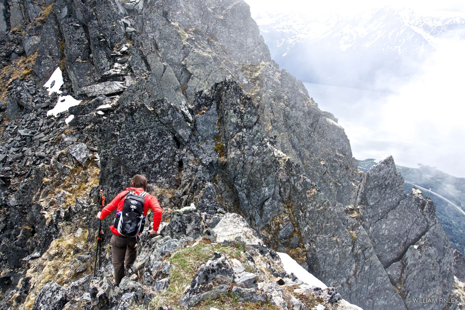
Distance / Difficulty / Starting Point: As stated – the entire ridge is 16 miles with 9500′ of elevation gain / loss. About a 1/3 of the route is 3rd class with the majority of the steeper rock being near the Penguin Peak side of the ridge. Thus I recommend starting from the Penguin side so you get the scrambling over with while you’re fresh. The 3rd class section is never difficult and there are only a couple places where you really have to be careful. That said, as others have pointed out in the comments, it is definitely 3rd class in spots and those unfamiliar with steep scrambling on loose Chugach rock may find it challenging.
The further away you get from Penguin the easier the ridge gets and by the time you reach Emporer (sic) Point the ridge becomes a mellow tundra sidewalk. You could shave off about 1 mile / 500′ by bypassing Chinstrap Peak on the south side of the ridge and heading straight for Gentoo, but you might as well suck it up and tick off all the peaks and points along the way.
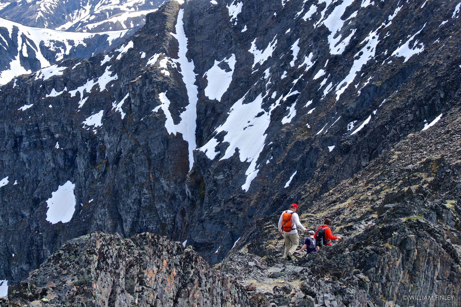 3rd class ledges between Penguin and King. 3rd class ledges between Penguin and King. |
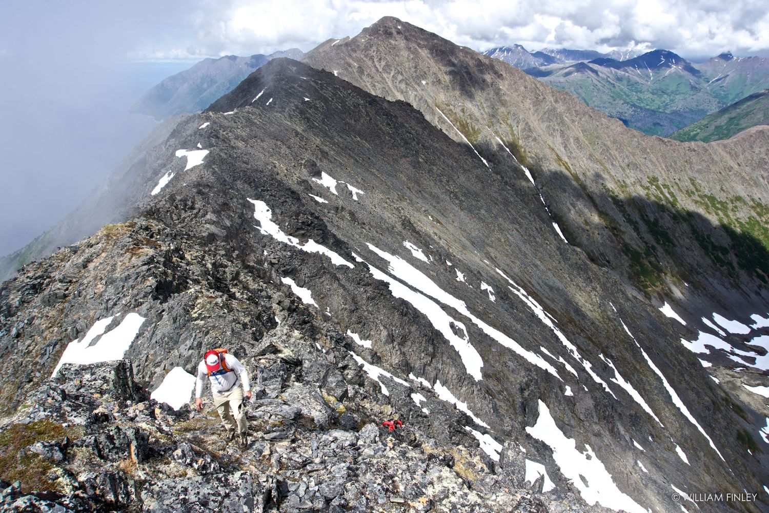 Looking back towards Penguin. Looking back towards Penguin. |
 One of the steeper sections. One of the steeper sections. |
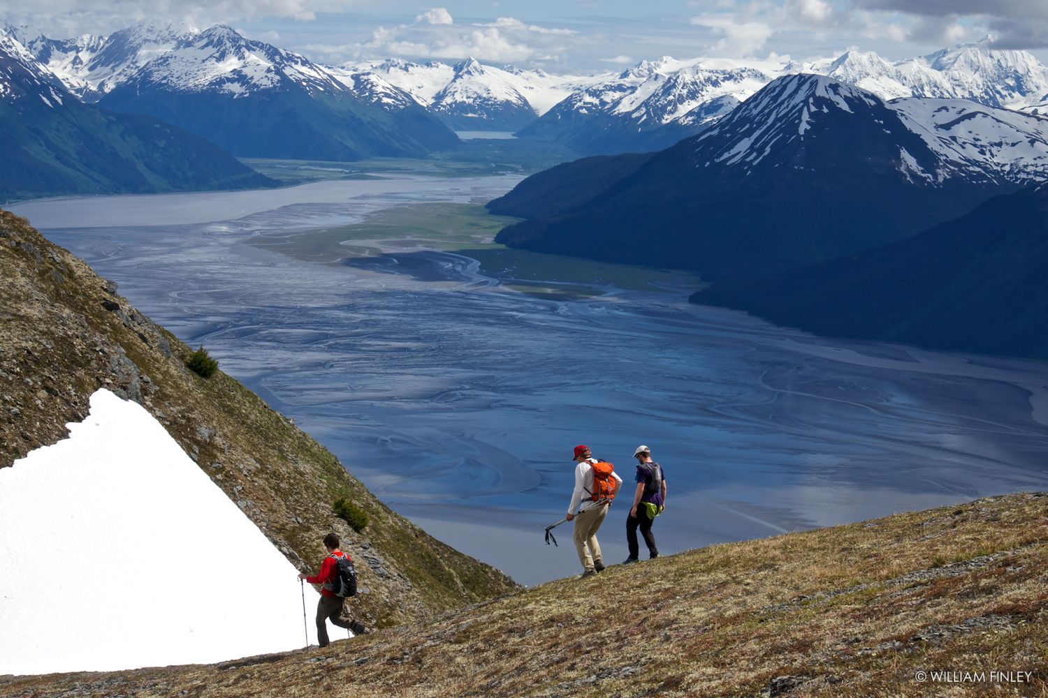 Easy walking after Emporer Point. Easy walking after Emporer Point. |
 Looking down the Gentoo avalanche gully. Looking down the Gentoo avalanche gully. |
 Yes – there is a trail & it’s nice. Yes – there is a trail & it’s nice. |
Avoiding Mini-Epics: Mini-epics are fun – but they’re more fun away from the road so here are some additional tips. (a) Start on the Penguin side and make sure you have at least 12 hours of daylight. I know at least one party that started on the Girdwood side late in the day and had to scramble across the 3rd class section in the dark. (b) Make sure you take the trail both up and down. The Penguin trail is impossible to miss. The trail dropping down into California creek is reached by going up and over Gentoo and then dropping 3000′ down the broad avalanche gully down to the meadow at the base of the gully. At the far eastern edge of the meadow you’ll find the California creek trail. Some people balk at the prospect of climbing Gentoo but you will be 10x happier if you keep going and take the trail down. (c) Drink. I know of a party that ran out of water on this ridge on a hot day and suffered from extreme dehydration. They were so dehydrated that when they reached the bottom they were too tired to drive home and ended up staying at the Bird Hotel for the night. I recommend doing this route earlier in the summer (June/early July), carrying two quarts of water and a lightweight stove to melt water. If you do this route on a warm day later in the summer then carry a gallon of water. The fit Anchorage runners can get by with 2 quarts of water, but I’m not one of them and I ended drinking just over a gallon while on the ridge.
Time: The times you see for this route are all over the place. Cory Smith ran the entire route in 8 hours and Lee Helzer ran the entire ridge including California Peak in 11 hours. On the other end of the spectrum some friends of did it recently took 18 hours. The four of us traversed the entire ridge in 11 hours with many breaks along the way and found the pace to be about right. Depending on your comfort level when scrambling Chugach crude I’d say expect anywhere from 10 to 14 hours.
And that’s about it… expect for the obvious which is go do it. Roman Dial calls this the best hike in Chugach State Park and its hard to argue that if you do this hike on a nice day. Carry water, plenty of food and a camera, check the boretide schedule and enjoy the view.
Some more photos from the day below.
 Dave checking out a huge crown.
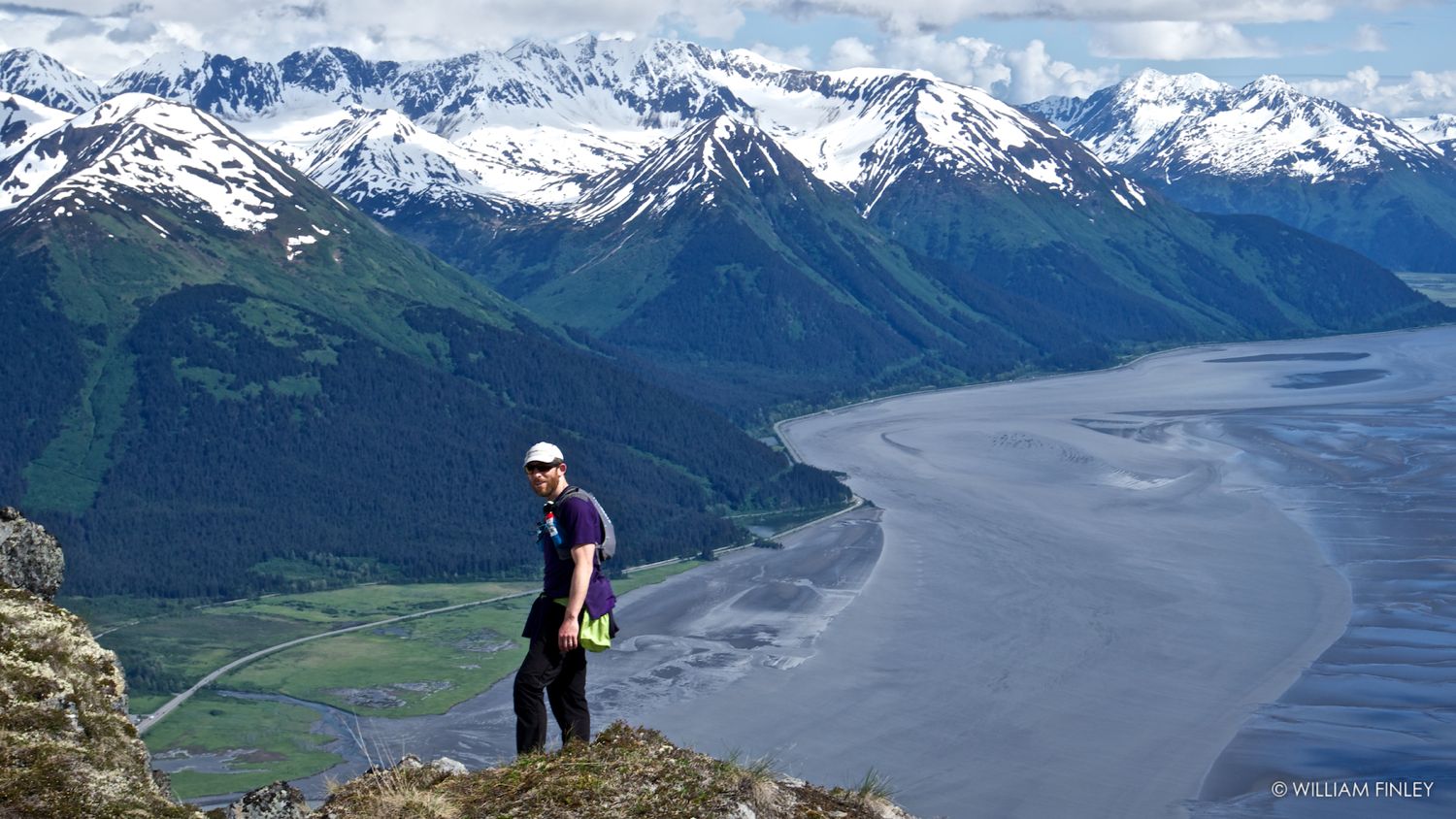
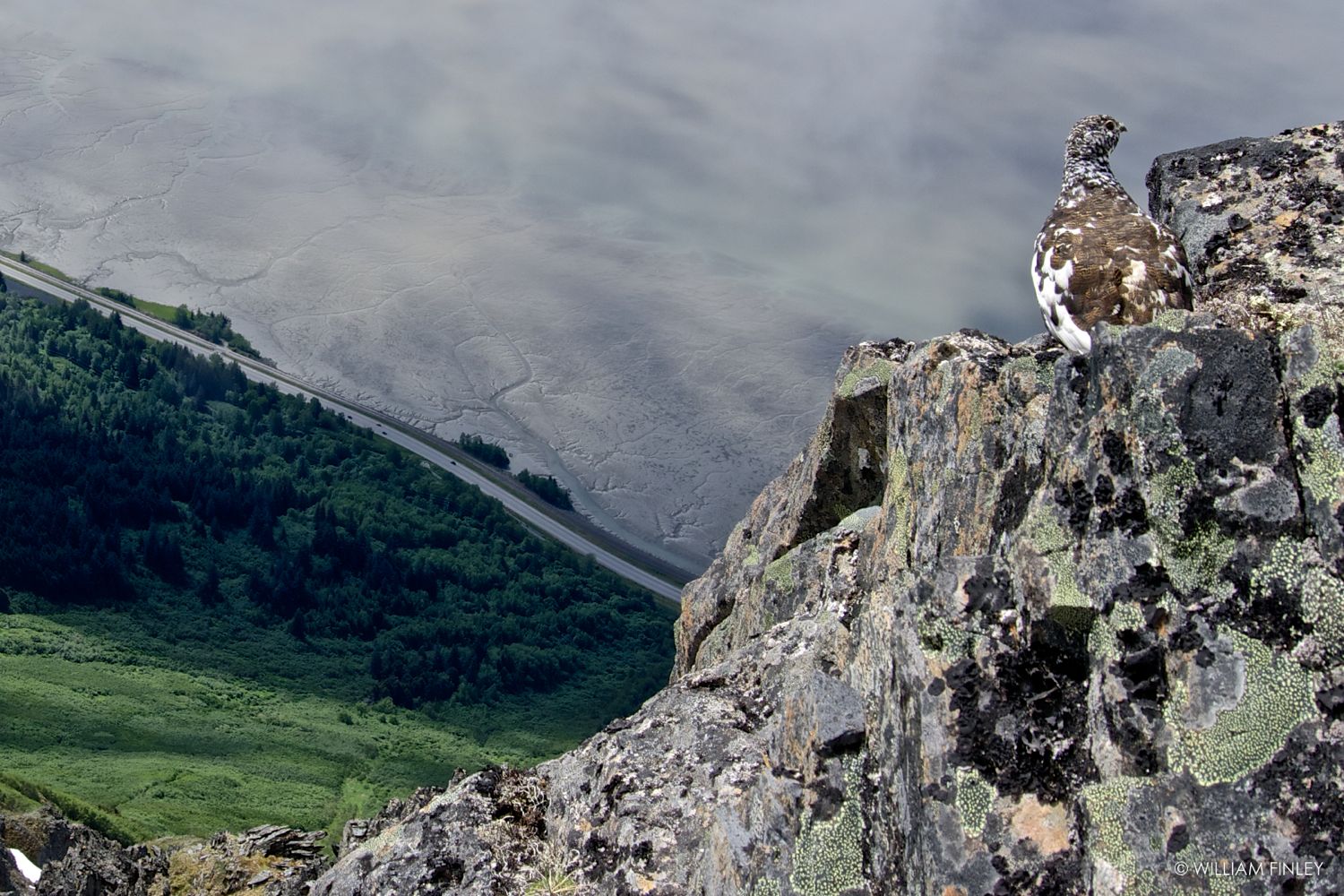 Chugach penguin above the Seward highway. Chugach penguin above the Seward highway. |
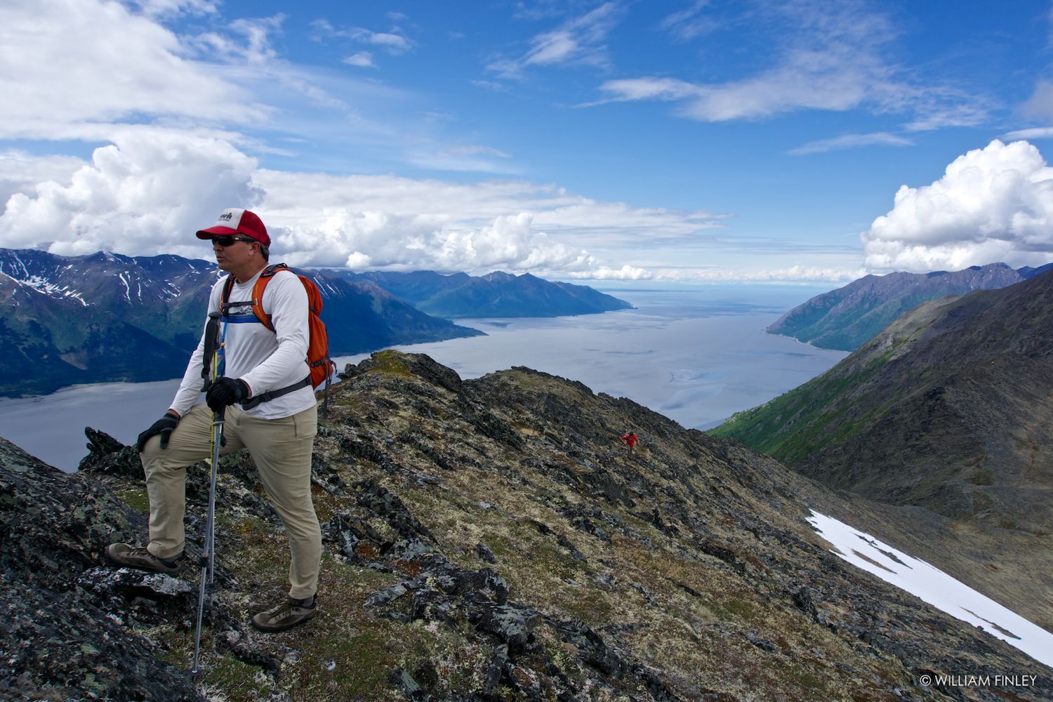 Todd on the ridge. Todd on the ridge. |
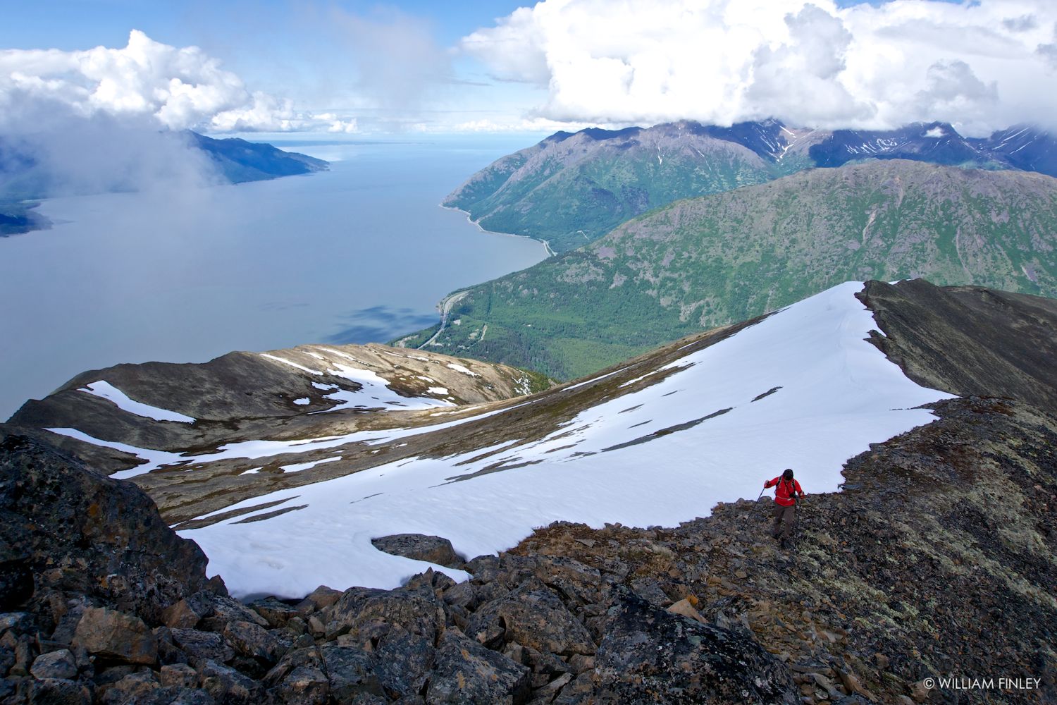
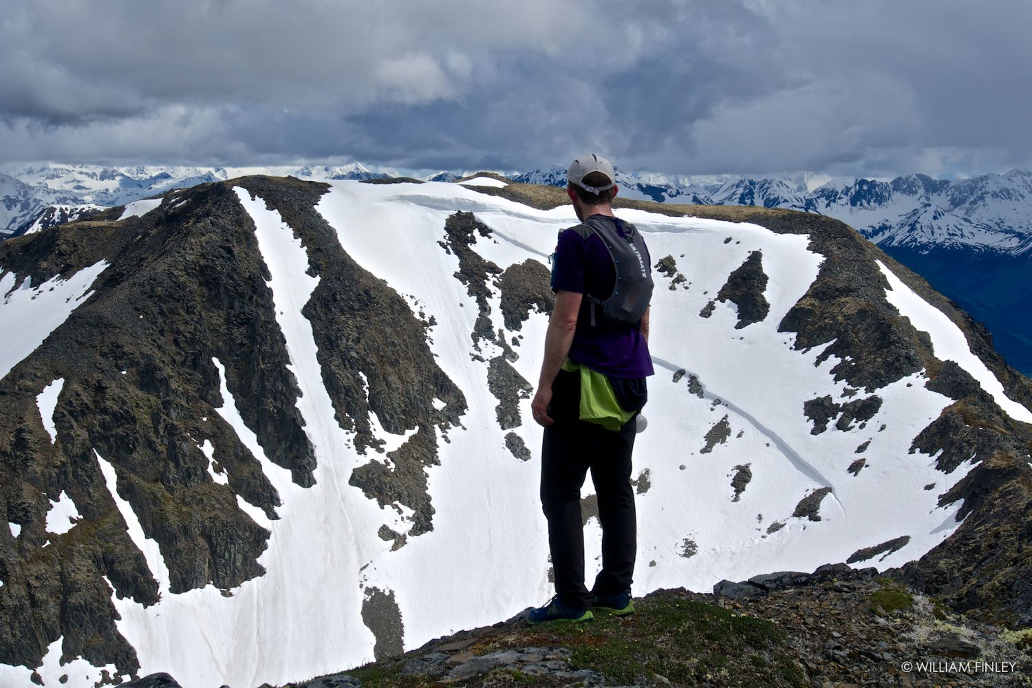
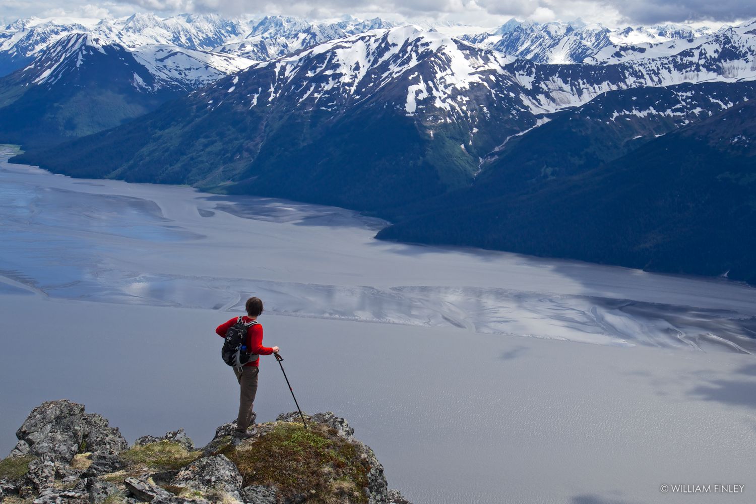 Jake high above Turngain Arm. Jake high above Turngain Arm. |
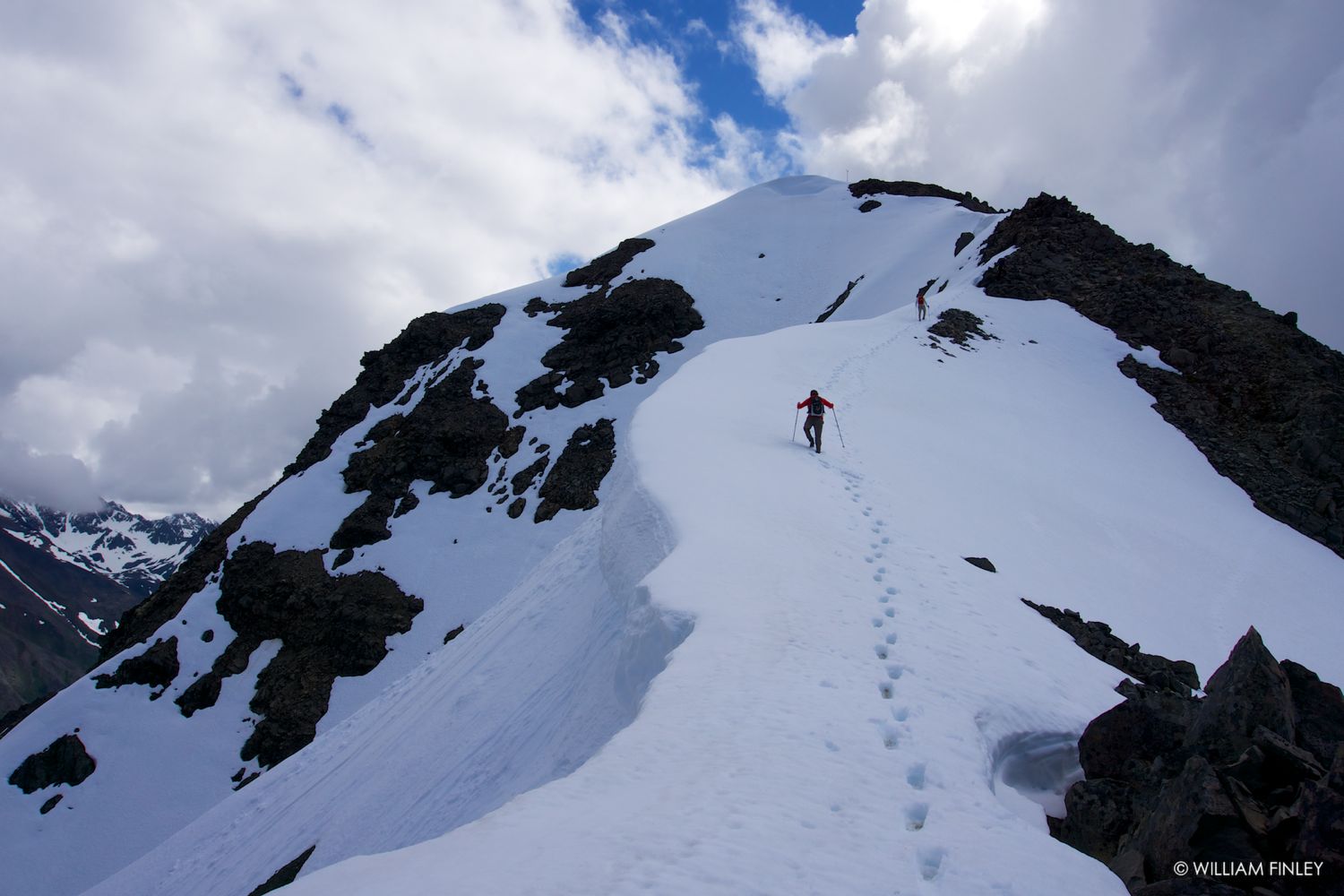
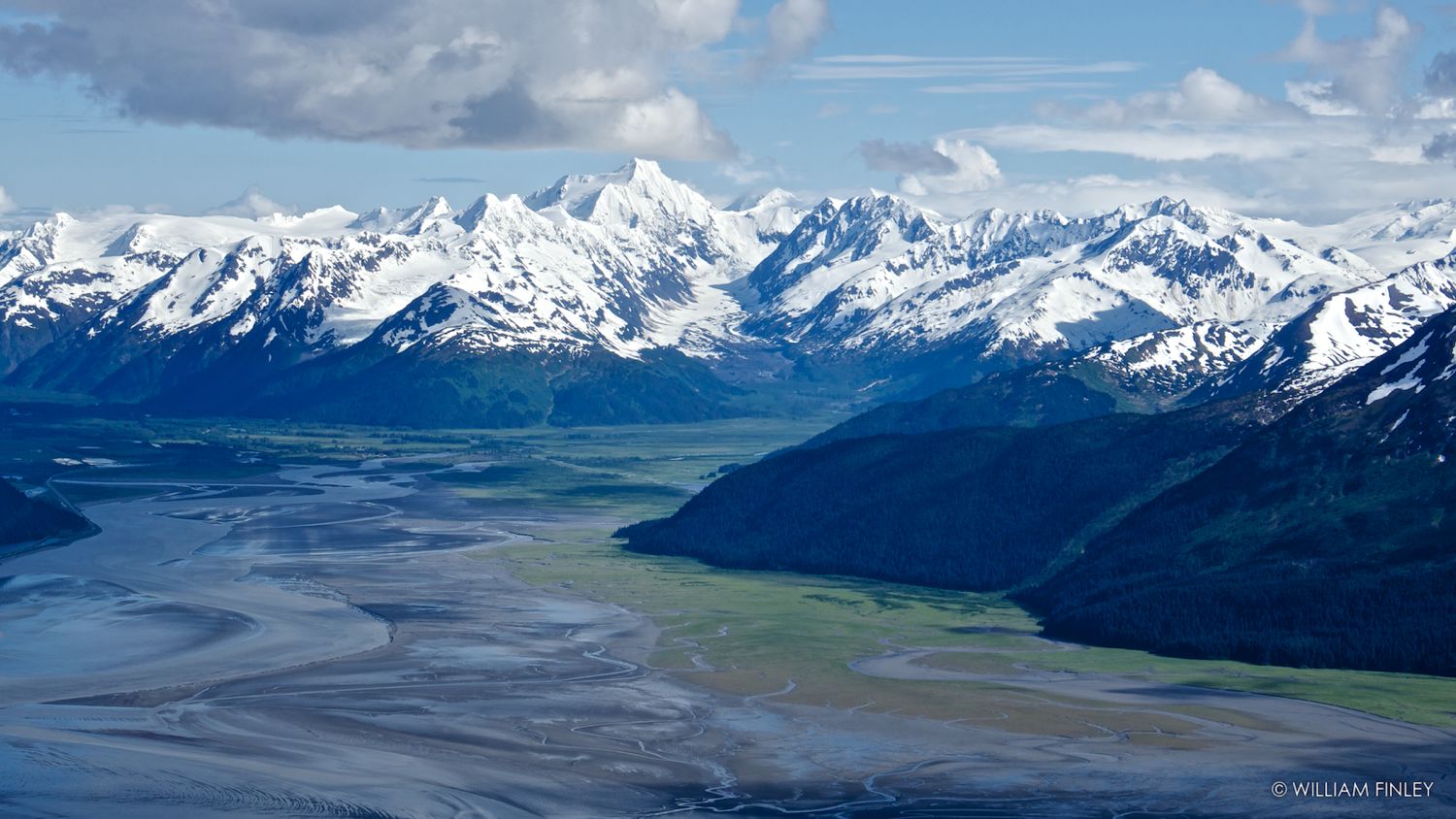
 Excellent ridge walking halfway across. Excellent ridge walking halfway across. |
 Explorer, Byron & Carpathian! |