Our daughter was sent off to camp and we had a week to play. Since mid-June in Alaska typically features isothermal wallowing in the mountains we bought tickets to Washington, made plans to climb with my nephew, Jonathan, who lives in Seattle, and played our luck with the weather and permit systems. So we drove to the airport with our child and dropped her off at the gate (where she would travel with 146 unaccompanied minors to Sitka) and then jumped on a flight to Seattle.
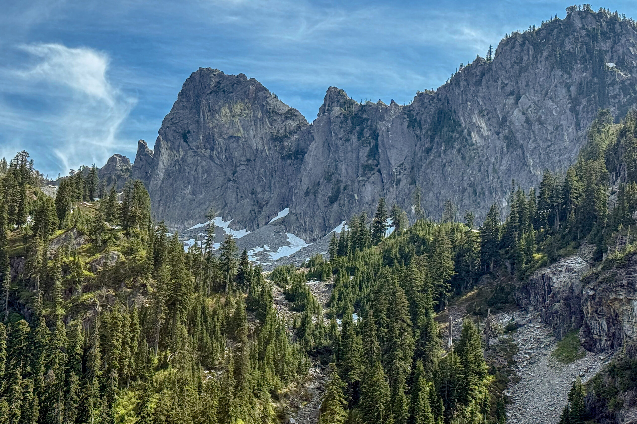
A few hours later we had landed in Seattle and piled bags of gear into a rental car. We had permits to attempt Mt. Olympus mid-week and had 2 days to kill so we opted to head east and spend a day at Snoqualmie Pass and climb the South Face of the Tooth.
I had read that the route can get very crowded so we set the alarm for early the next morning and were at the trailhead by 6:30 and hiking by 7. Not exactly an alpine start but we figured there wouldn’t be too many people queued up for the route on a Monday so we didn’t feel rushed. Up the trail and to the pass. There was a little confusion as to what and where Pineapple Pass was but eventually we found the start, stashed our gear and began climbing.
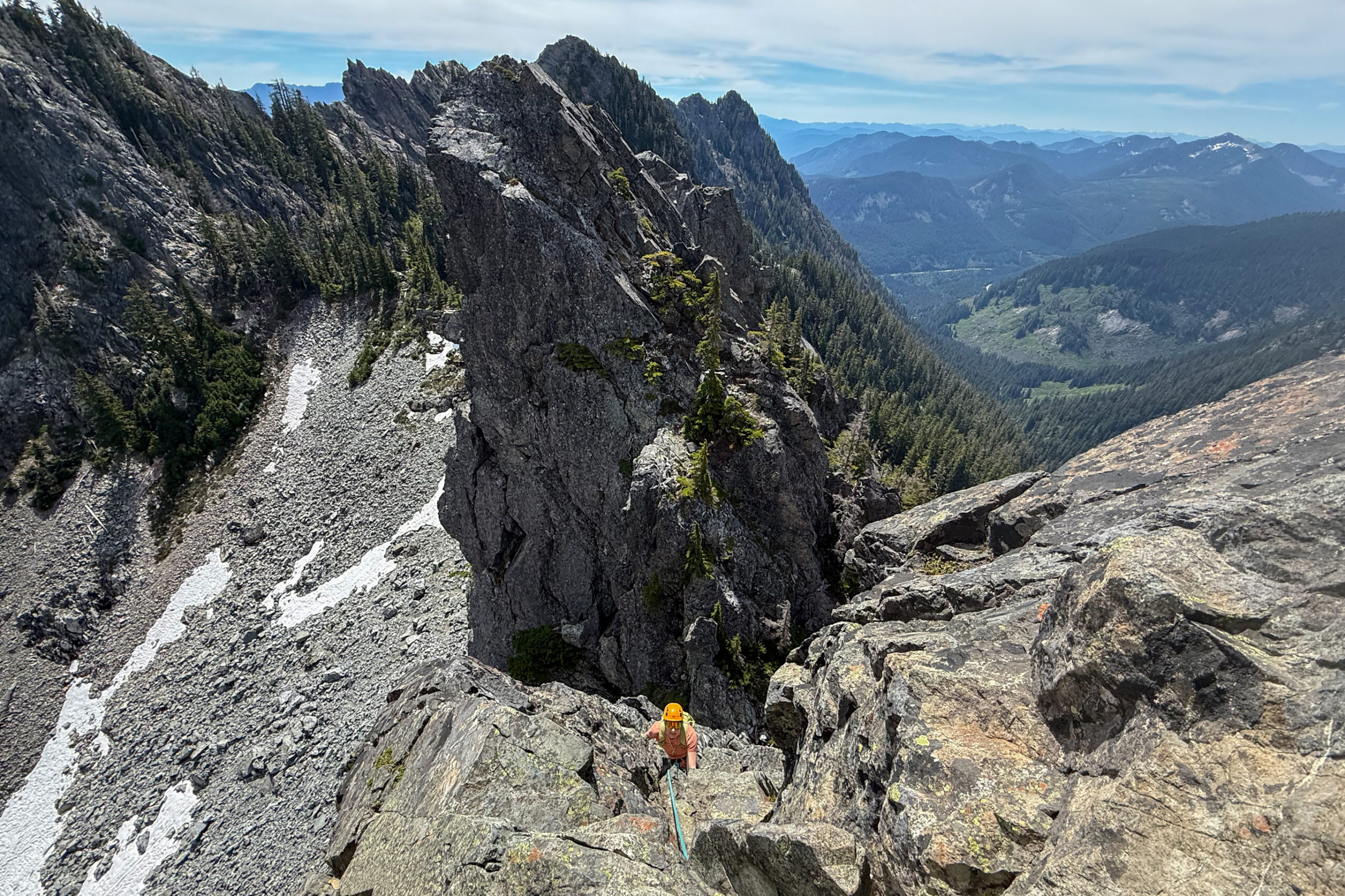
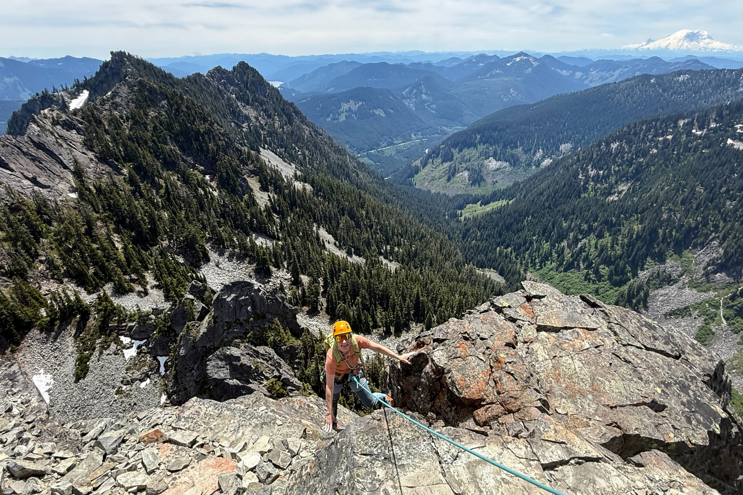
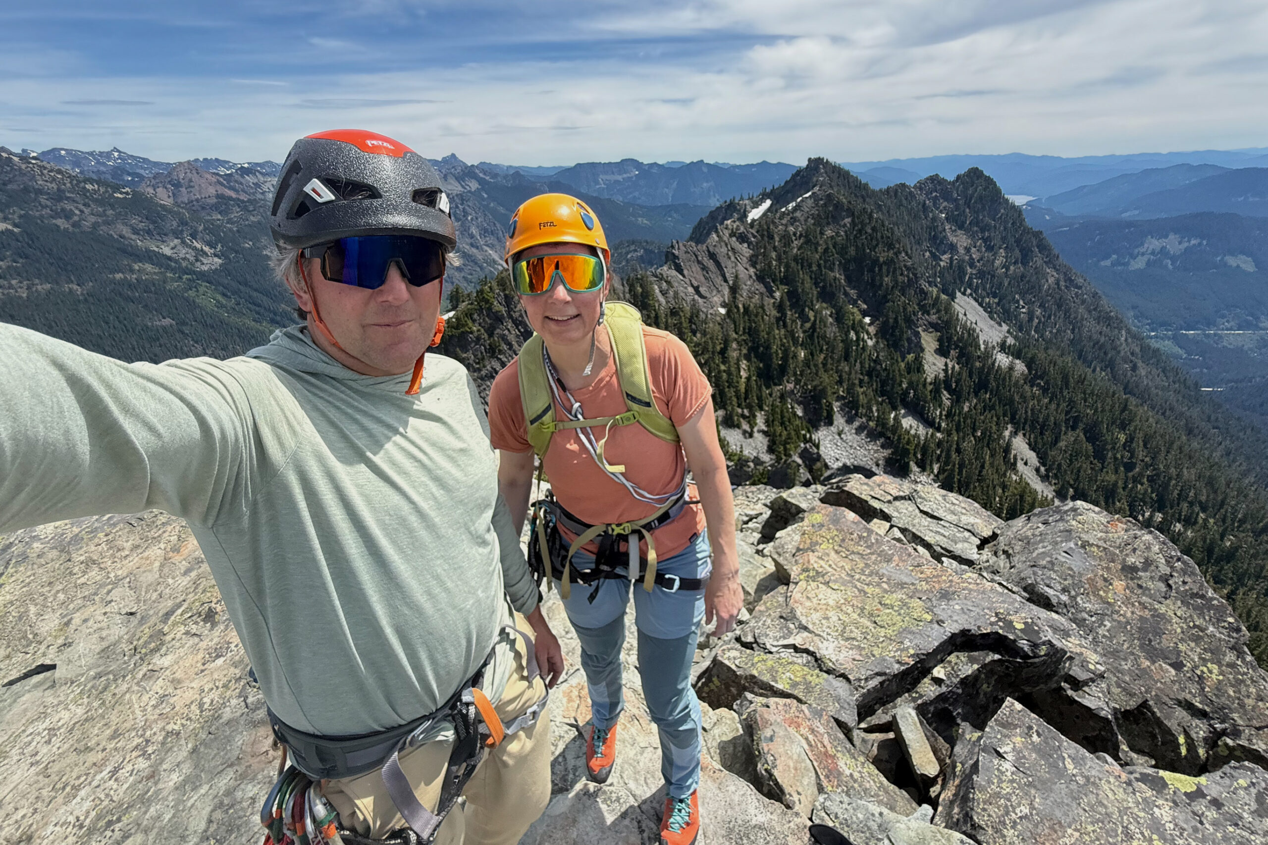
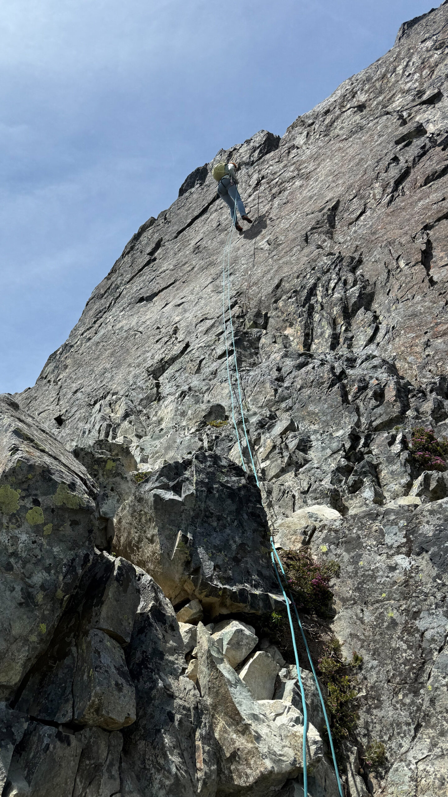
The climbing was delightful. This climb is renown as one of the oldest rock climbs in Washington state – with the first ascent in 1928. Easy climbing with good gear and minimal route-finding makes the outing very mellow and enjoyable. And despite my fears we were the only climbers on the mountain that day so we took our time and leisurely scrambled up the 4 pitches in 2 hours. On the top we basked in the hot sun and admired the views before rapping down, grabbing our packs and continuing down a gully with new shiny rap anchors (a novelty for Alaskan mountain climbers).
We were back at the car by mid-afternoon and din’t really want to spend another night at the (incredibly loud) I-95 campground, so we piled in the car and began driving west towards Olympic National Park. Dinner at Snoqualmie Falls Brewery and then on the road and driving west until reaching Olympic National Park, followed by a lengthy search for a campsite until giving up and opting for a dispersed campsite along a quiet forest service road.
We spent the next day relaxing with short hikes along the Pacific coast before retiring to a campsite I had managed to book near Rialto Beach. Jonathon drove down from Seattle and joined us that evening and we went over gear and food and set the alarm for an early start.
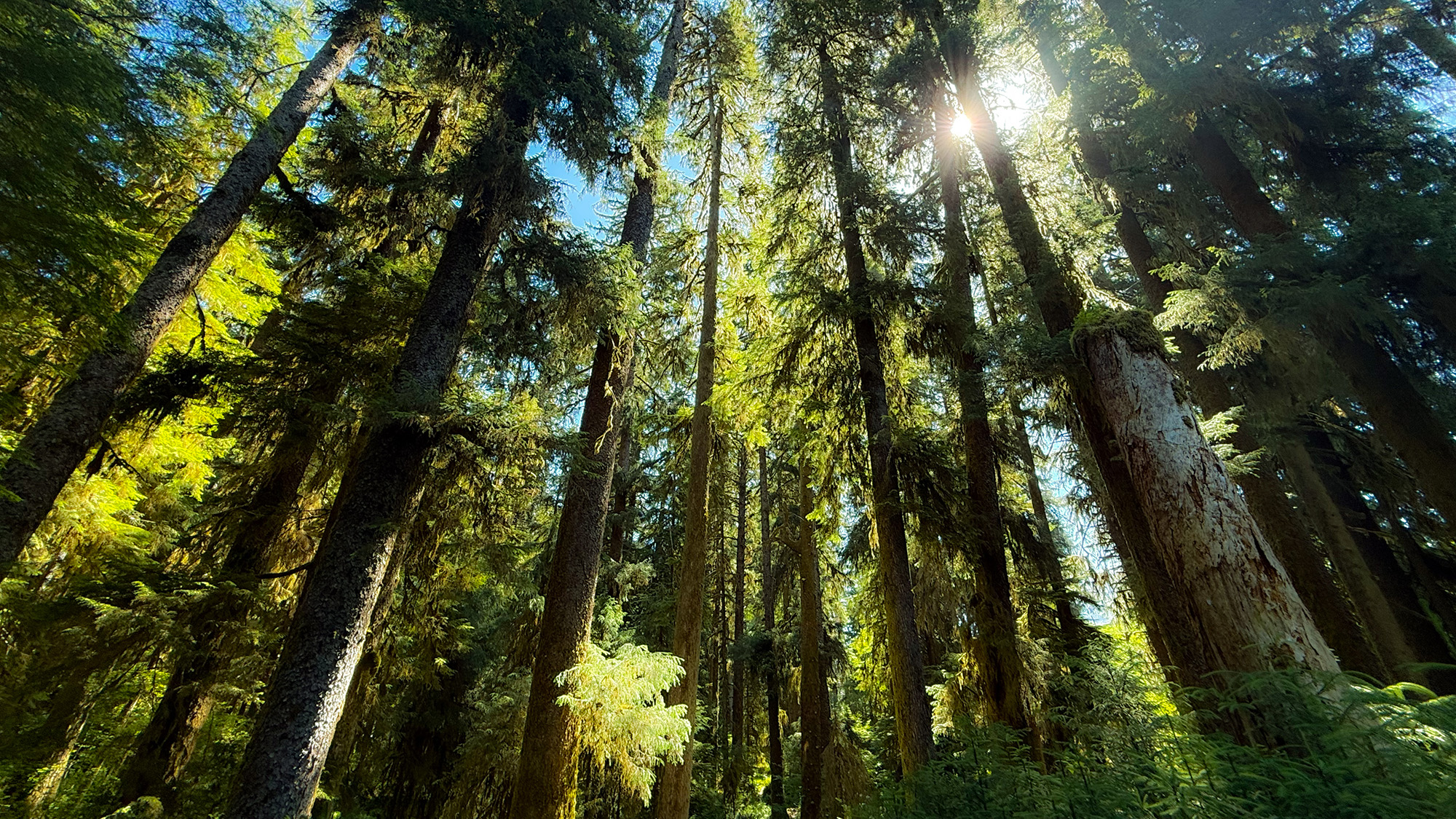
“This is not our world with trees in it. It’s a world of trees, where humans have just arrived.” – Richard Powers, The Overstory
The Hoh Rainforest
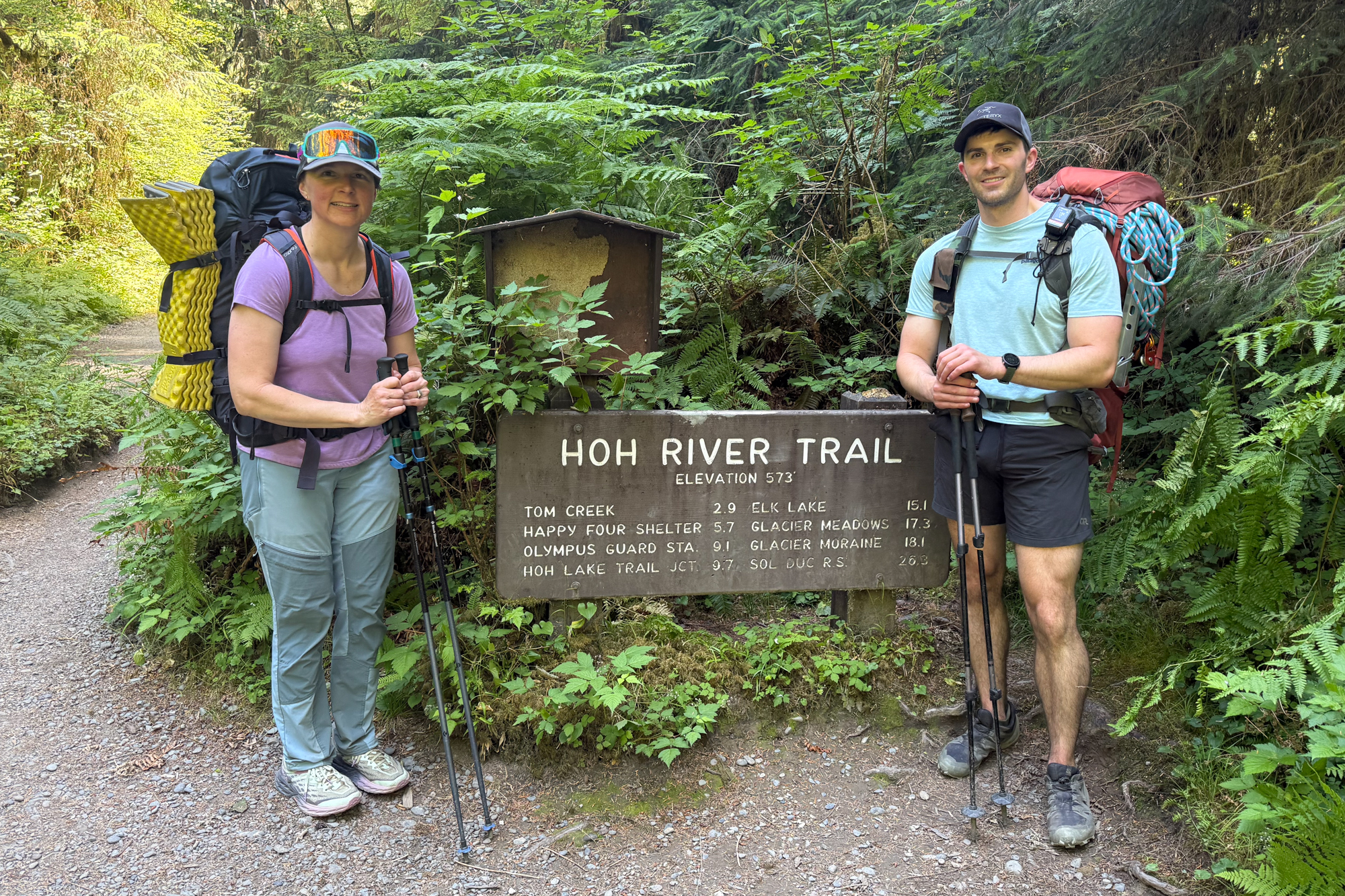
First some notes about Mt. Olympus: Olympus – at 7,962 feet – is the tallest peak in Olympic National Park. It is a glaciated peak that juts above surrounding lush rainforests that receive 100 to 170 inches of rain per year. The approach to the peak involves hiking up the entire length of the famous Hoh River trail – a 17 mile trail that winds through an old-growth forest of towering Sitka spruce, western hemlock, western red cedar, coastal Douglas-fir, and bigleaf maple. The trail is relatively flat for 13 miles and then ramps up steeply and ascends 4,000 feet in 5 miles before reaching the Blue Glacier. Upon reaching the glacier you have 3 miles of glacier travel until finally reaching the summit pyramid where you then climb 100′ of easy Class 5 rock. In other words – take camping gear, glacier gear and rock gear. And try and figure out how many days it will take you.
Given the lengthy approach most climbers break the trip into 4 days. 2 days for the approach, a climbing day plus partial exit and a final shorter hike out. The NPS has designated campsites so you’re forced to only camp in designated areas – and which of those areas you get depends on the number of permits available for that day. In short – it’s a logistical headache and where you stay depends on how far in advance you planned (plus some luck). We stuck with the standard itinerary and managed to score permits for Ranger Station (night 1), Glacier Meadows (night 2) and Lewis Meadows (night 3). In retrospect the hiking days ended up being very leisurely and I was wishing we had just hiked all the way to Glacier Meadows in a day and done it as a 3 day instead of 4 day trip.
That said – the Hoh River trail is a beautiful mesmerizing trek through an ancient world. Some of the trees in this valley are over 1000 years old. One thousand years. Bilbao resident Heceta y Dudagoitia was the first documented non-native visitor to Washington state in 1775 – and at that time these trees were already 750 years old. One thousand years ago, when the trees were just saplings, the Mayas civilization was flourishing and Norse explorers had just established a small outpost in Newfoundland. It is a concept impossible to grasp and to compound my incredulity I had recently read Richard Powers “The Overstory” and my head was filled with that dizzying array of characters and their interactions and relationships with trees.
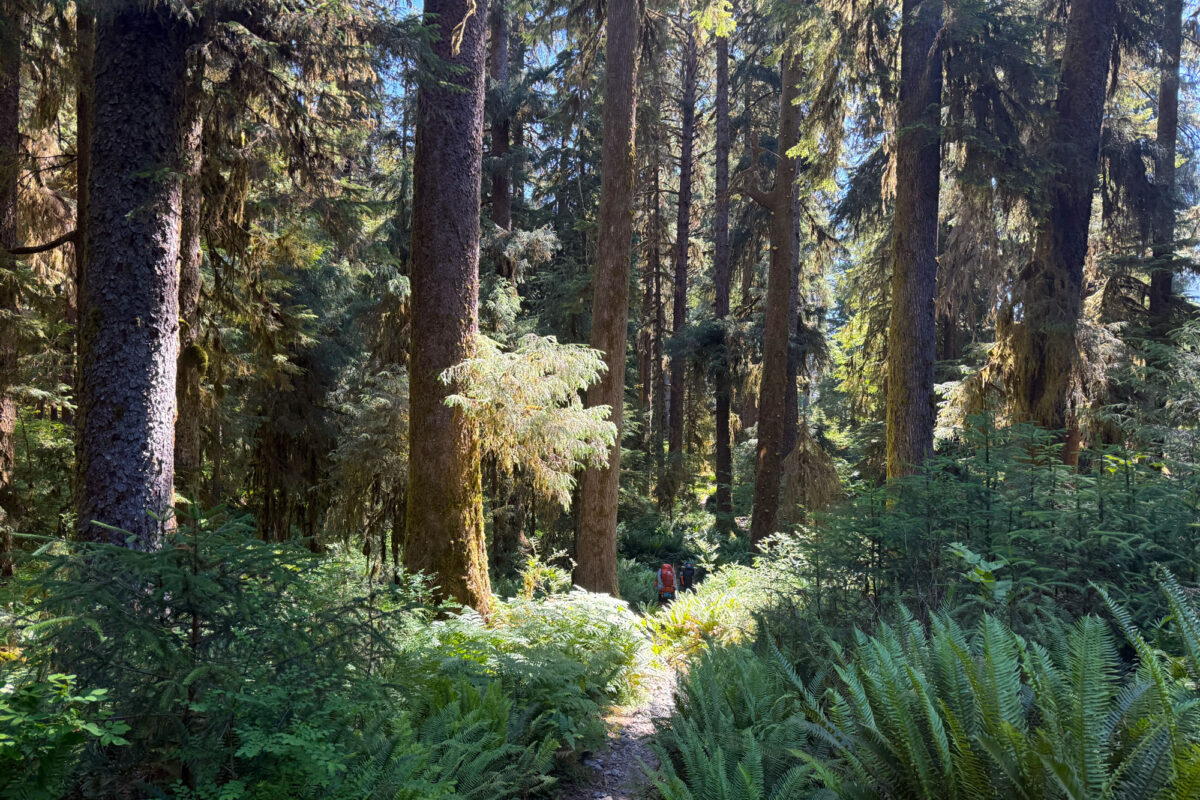
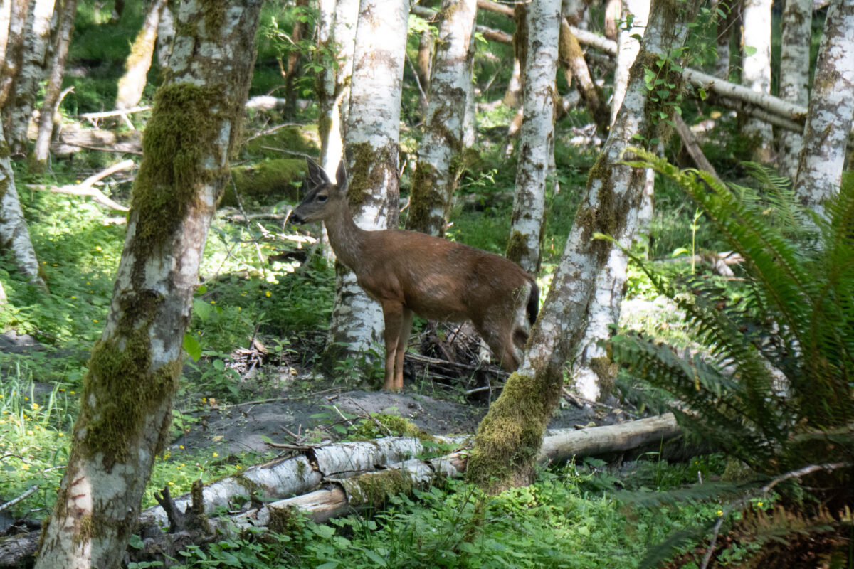
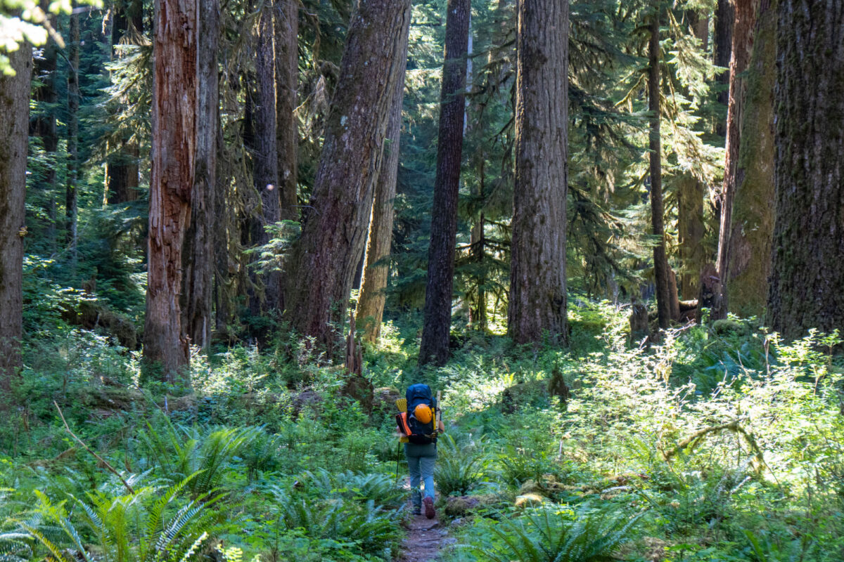
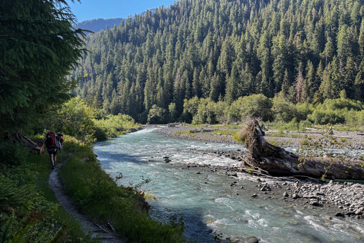
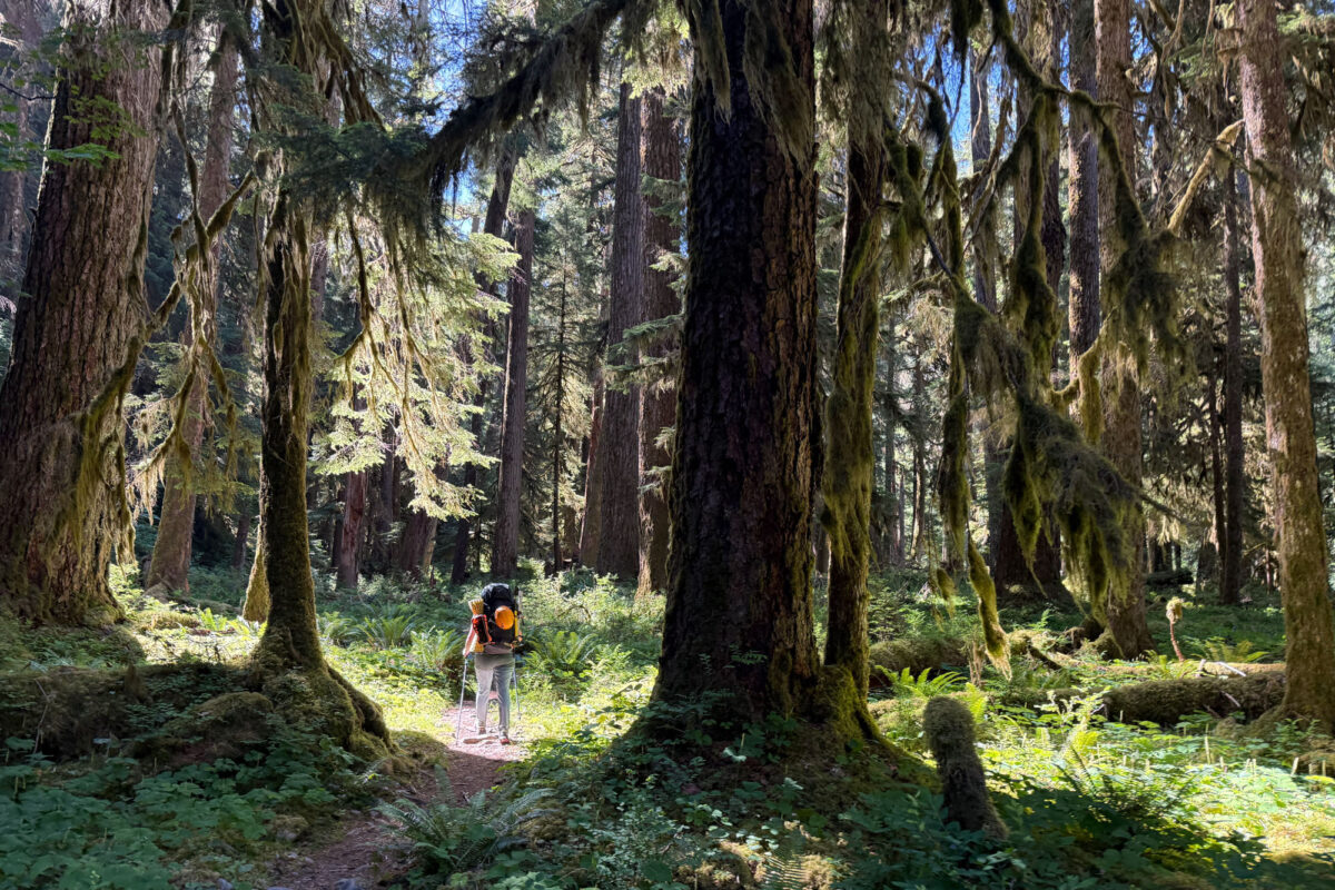
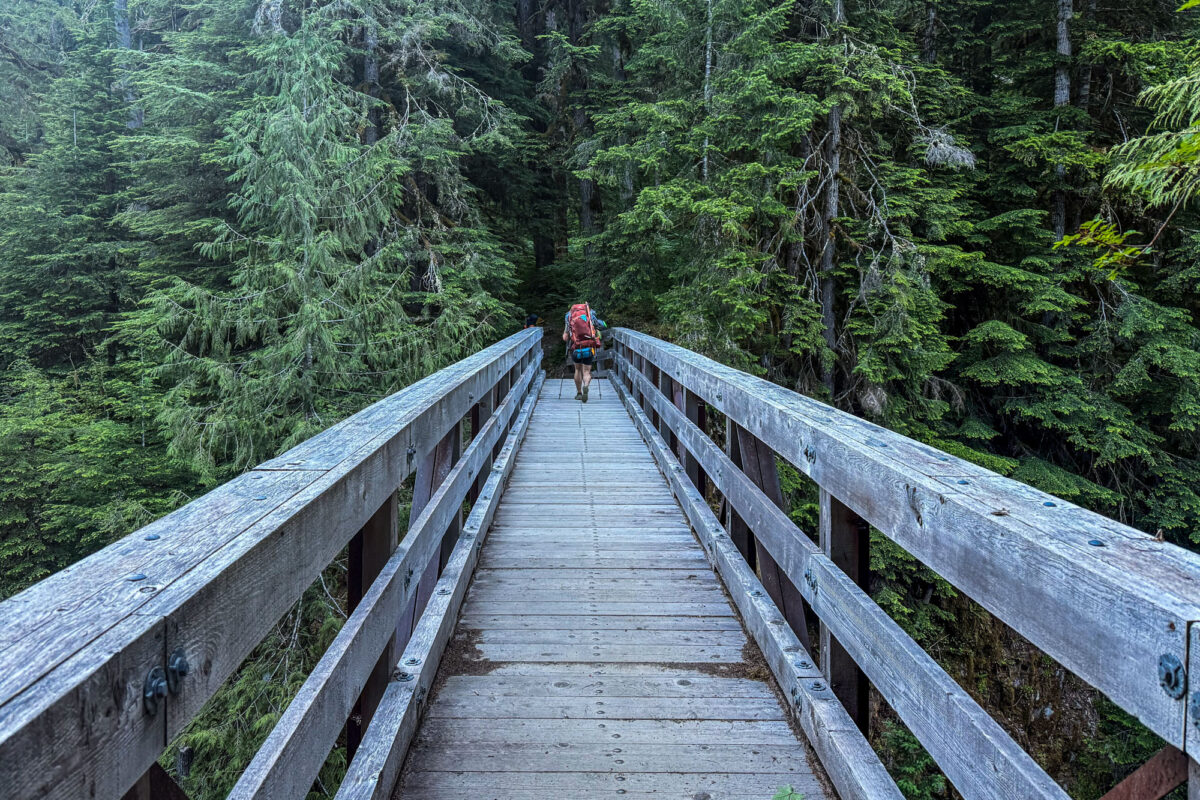
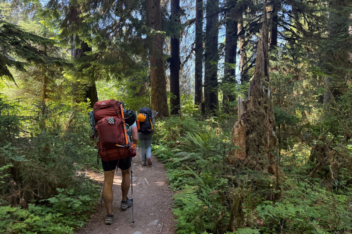
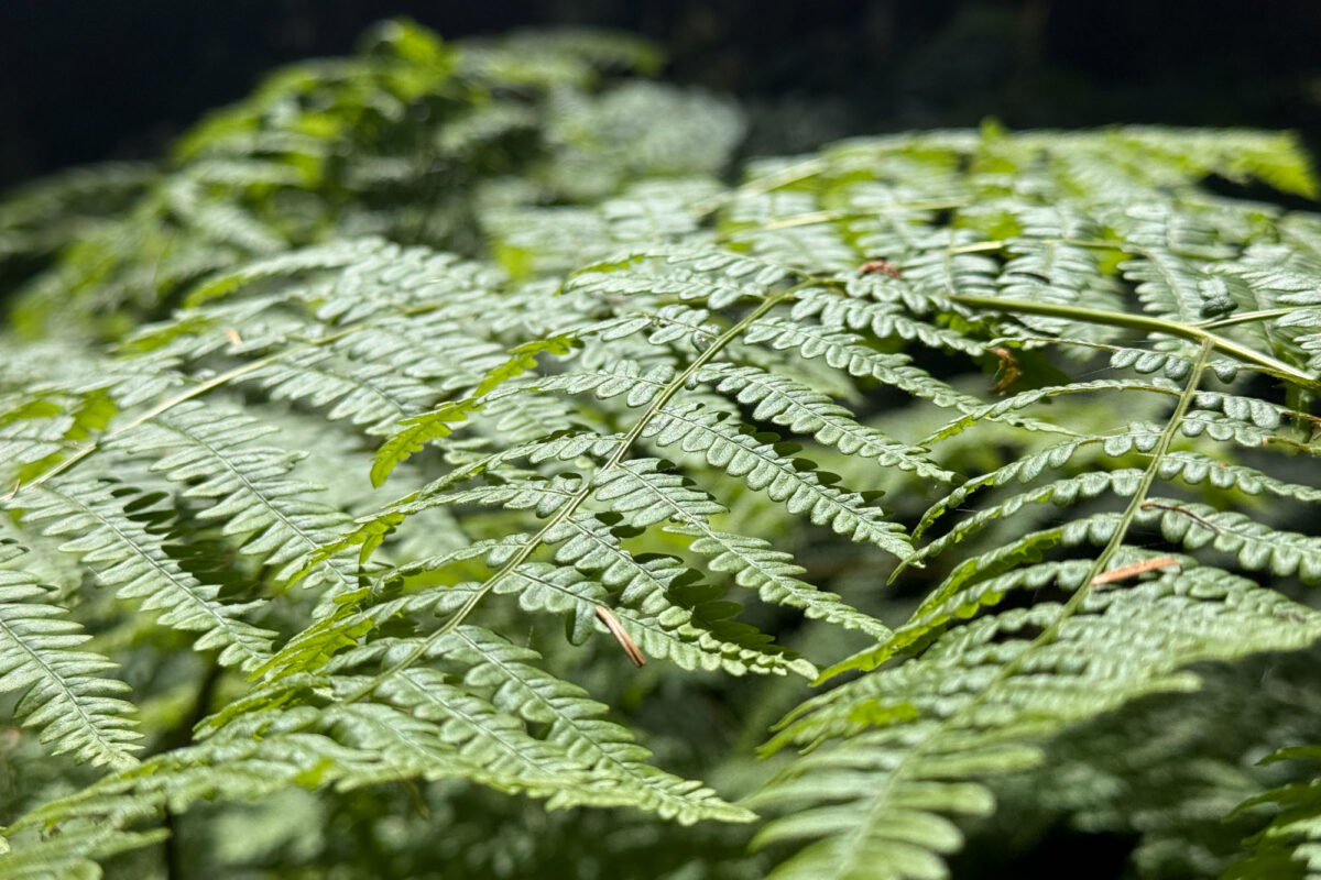
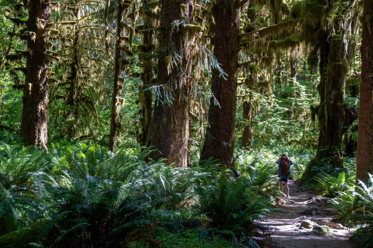
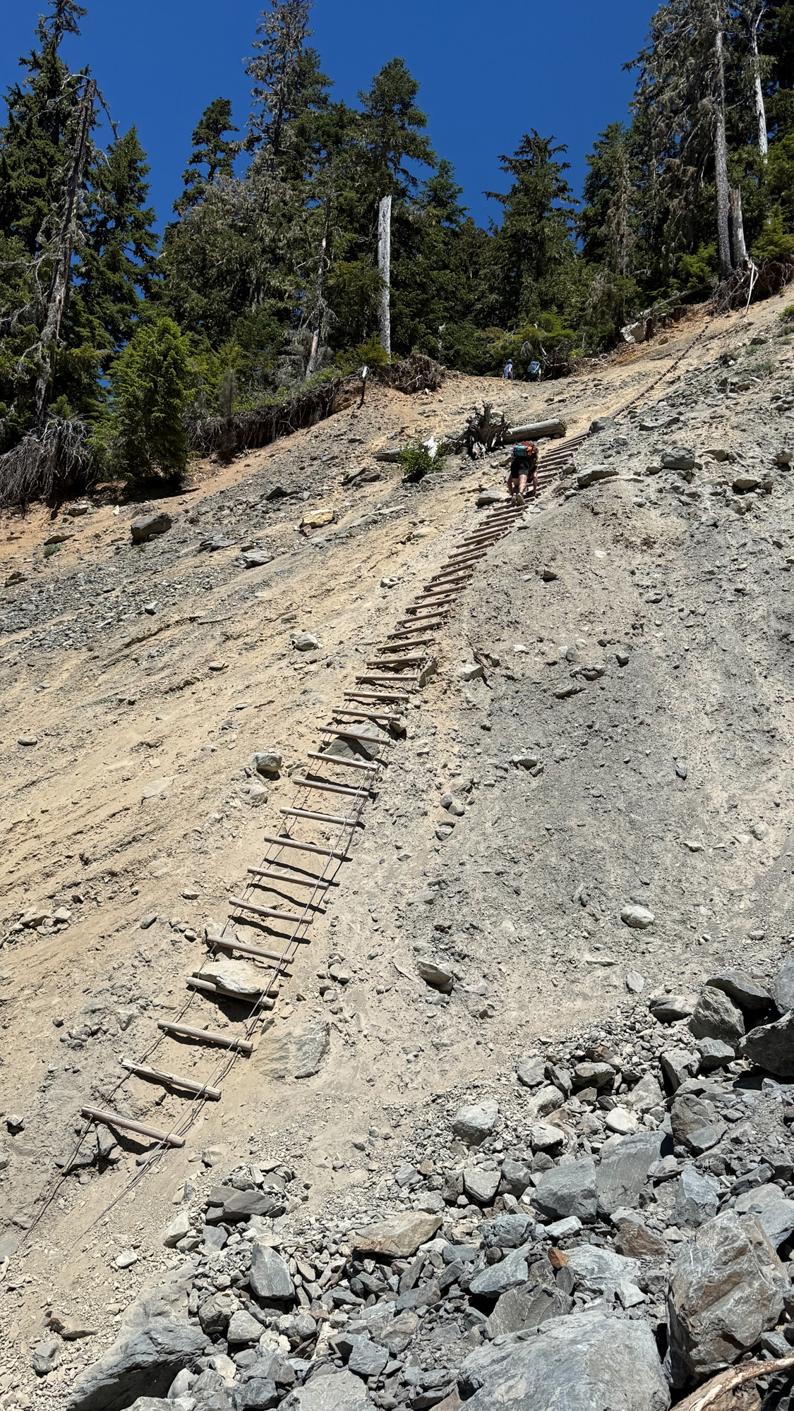
We took two days. A 4 hour / 10 mile hike to Olympus Ranger station where we spent an afternoon by the Hoh river and had a magnificent campsite under a towering bigleaf maple draped with epiphytic mosses. A family of Sitka blacktail deer circled our tent for most of the night. The next day we hiked another 10 miles to Glacier Meadows. The trail was cruiser except for the infamous Jemrod Gully Ladder where a section of trail that has been washed out and a makeshift dilapidated ladder has been installed. The ladder has been there for years and the NPS seems to be in no rush to make repairs. It’s a 250′ cable ladder which logs as rungs. Several of the rungs are broken and at times it’s near vertical. It’s like a via-ferrata minus the clip pff points and and it’s not maintained so every otjer step feels like you’re on the verge of breaking something and taking a tumble. The ladders are in poor condition and the NPS doesn’t make repairing them a priority. The NPS has a near unlimited budget for parking lots and gift shops – but they can’t seem to find the time or funds to fix an old ladder that hundred of people climb on a weekly basis.
Even with the ladder hold up we got there early so after a short break I hiked up the trail to the glacier look out to get a view of the route. 45 minutes out of camp and I was above treeline and within an hour I was on the ridge looking down at the Blue Glacier and up at Mt. Olympus in the distance. A quick return to camp, dinner and then turned in early with the alarm set for 3am.
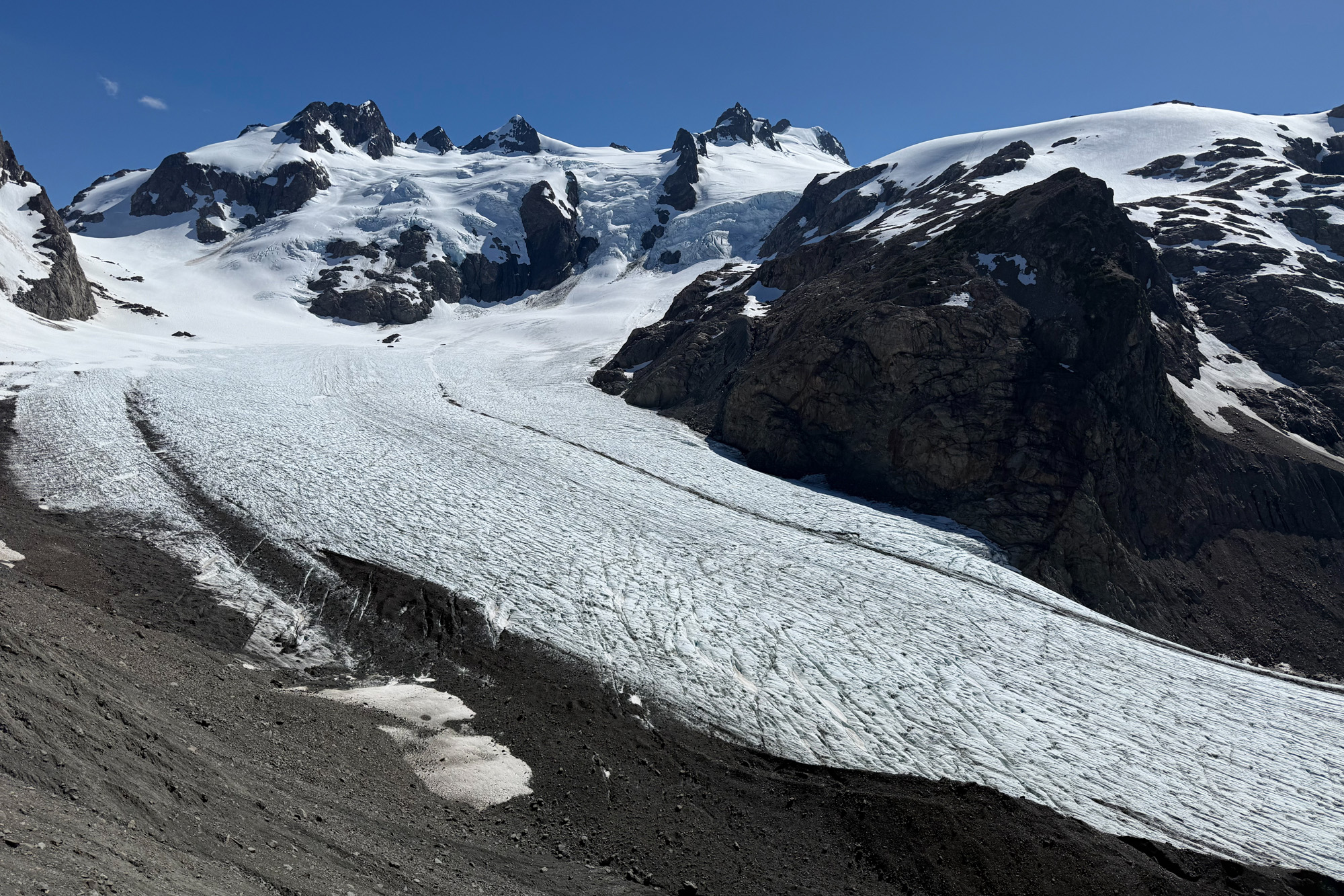
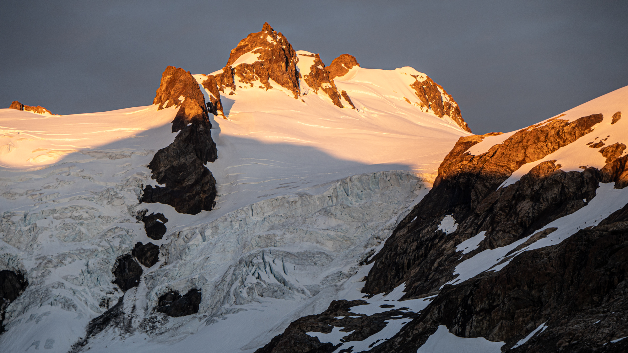
Mt. Olympus – Blue Glacier / North Ridge
We were up at 3am and moving by 4. Yvonne had somehow left her headlamp in the car so she spent the start of the hike walking in-between Jonathon and I and trying not to stumble over rocks. Luckily the trail up to the ridge is pretty easy walking and by the time we reached the overlook the sun was rising and a headlamp wasn’t needed.
The sunrise was gorgeous. The sky turning form muted gray to brilliant pink and then blue. The glacier coming into focus and the rocks brilliant in the rising sun. We sat around taking photos for a while then traversed to the end of the ridge and worked our way down the scree/talus slope to the glacier.
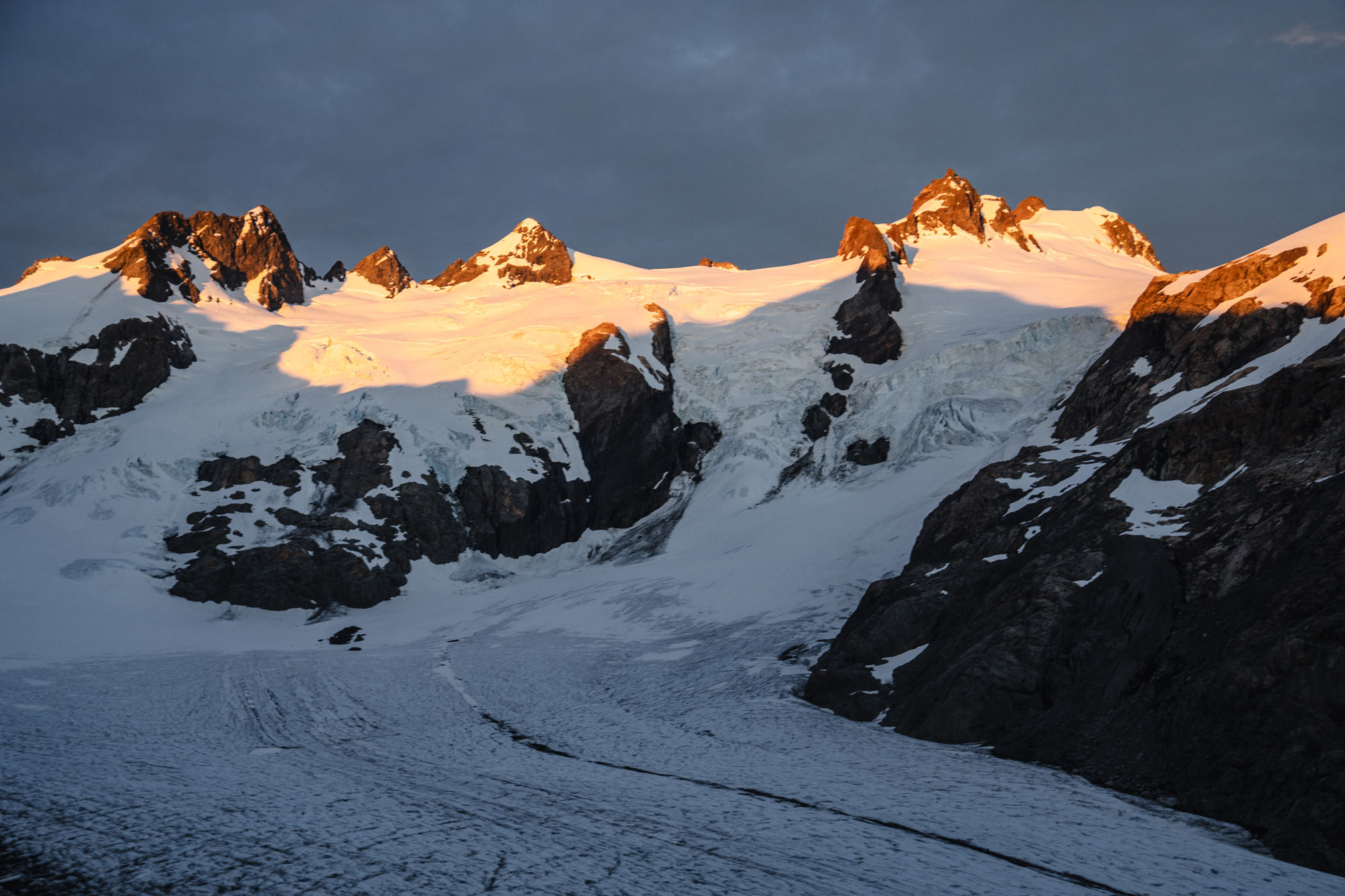
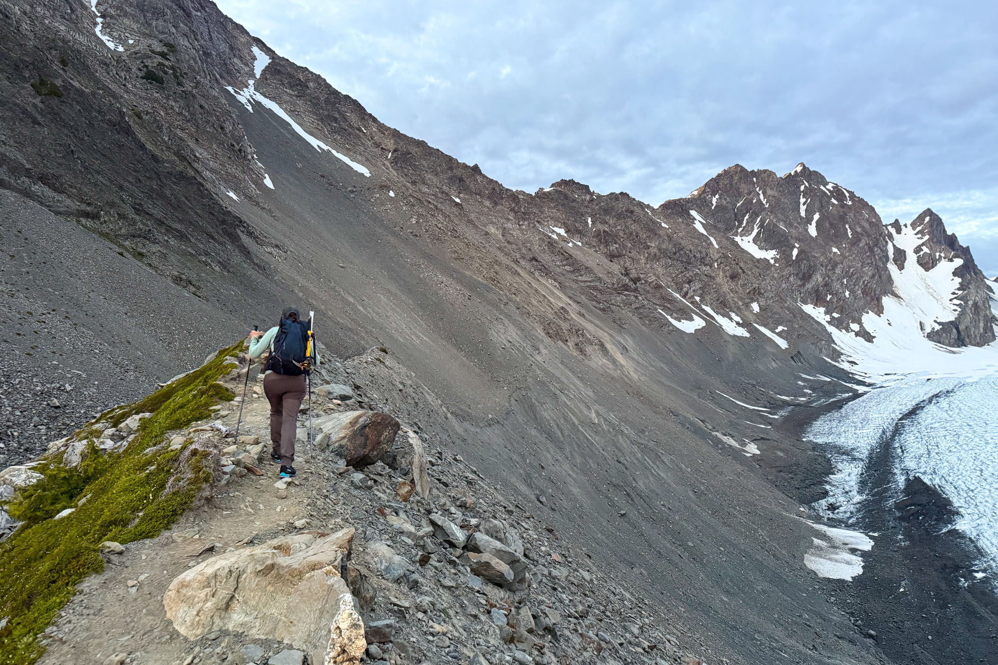
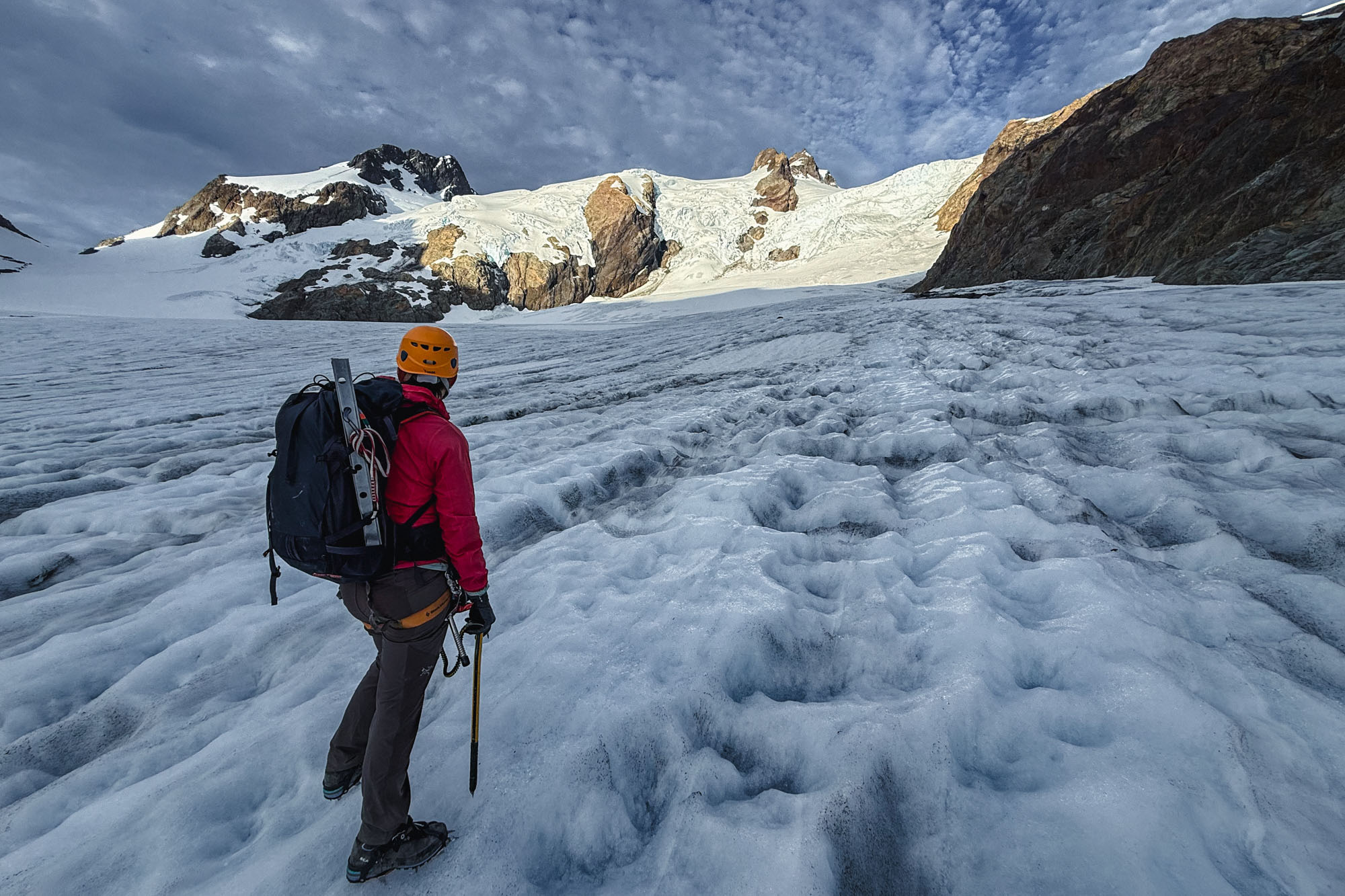
Upon reaching the glacier we donned crampons and started across. The snow had completely melted on the lower glacier so a rope wasn’t needed and within an hour we were across the blue ice and roping up for a section where there was still snow and chance of a crevasse fall before reaching the snow slopes that would take us to the upper glacier.
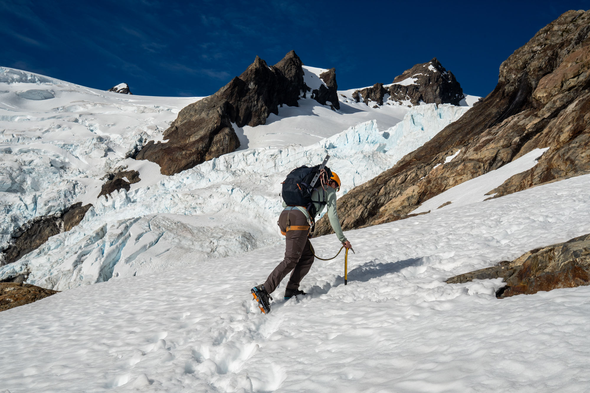
Once fully across the glacier we worked our way to the snow covered slopes that would take us to the upper glacier, cached the rope and booted up the slopes to gain the upper glacier by Snow Dome. Then back on the rope and across the upper glacier and up the slope with a crevasse that was starting to open before finally gaining the ridge and working our way to the base of the rocky summit.
We took a leisurely 5 hours to reach the base of the summit pyramid. There was a large party of 8 in front of us that had started a couple hours ahead of us – so we didn’t want to rush – but at the same time we didn’t want to down-climbing the crevassed slope too late in the day. Even so – upon reaching the base of the rock pitch we discovered that only half of the party had made it up the pitch so we sat down to wait.
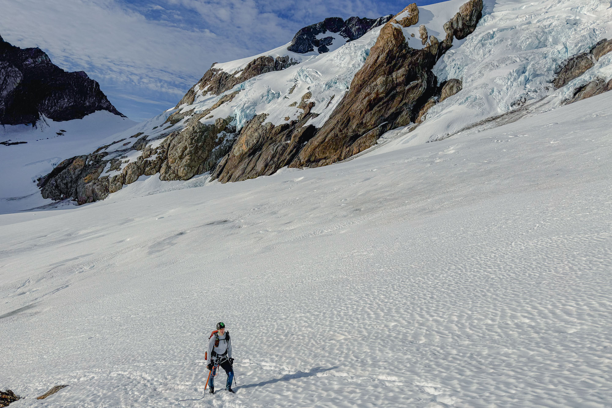
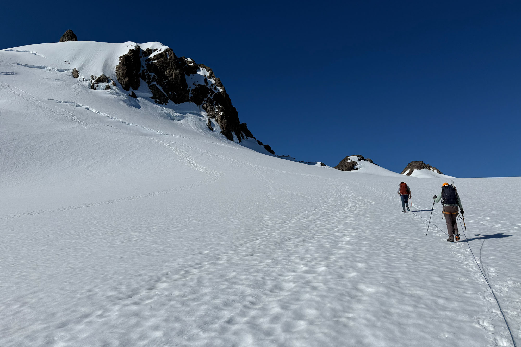
This was my first experience with overcrowding on Washington routes. I have done popular WA routes like Forbidden, SEWS and the Becky Route on Liberty Bell but on all of these the parties we met were experienced, respectful and moved efficiently. The party in front of us consisted of 8 people – all of them beginners (and several of them children) except one guy who had some experience, but still didn’t know how to do things like properly rig a rappel through anchors or tie a munter hitch (an issue that arose when a member of his party dropped their rap device). As a result our progressed stalled and we literally spent 4 hours at the summit block – and of that 2.5 hours were spent on the summit waiting for the party to descend 1 rappel to the glacier. However, it was a perfect day with zero threat of precipitation and the snow bridges appeared to well bonded so we didn’t stress too much. I retrospect we should have either left super early (2am) or later (10am) to avoid the bottleneck. Everything worked out for them – and for us – but I was a little put off by leader’s nonchalance.
With that said… we waited. Eventually all 8 of the party in front of us made it to the top and I ascended the rock pitch. The rock pitch is easy climbing (5.4) on decent rock with decent gear where you need it. the moat at the base was still filled in so accessing the route was straight forward and I was quickly on the summit and belaying Yvonne and Jon up.
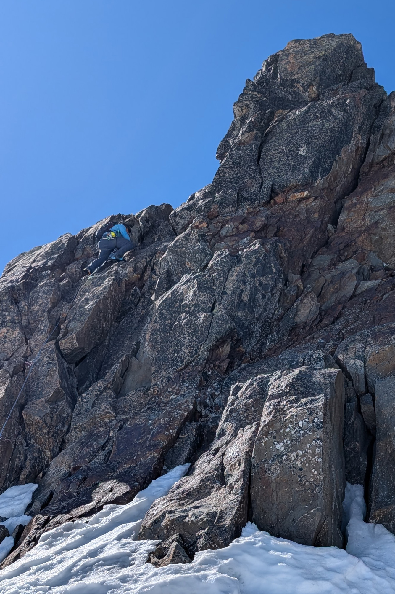
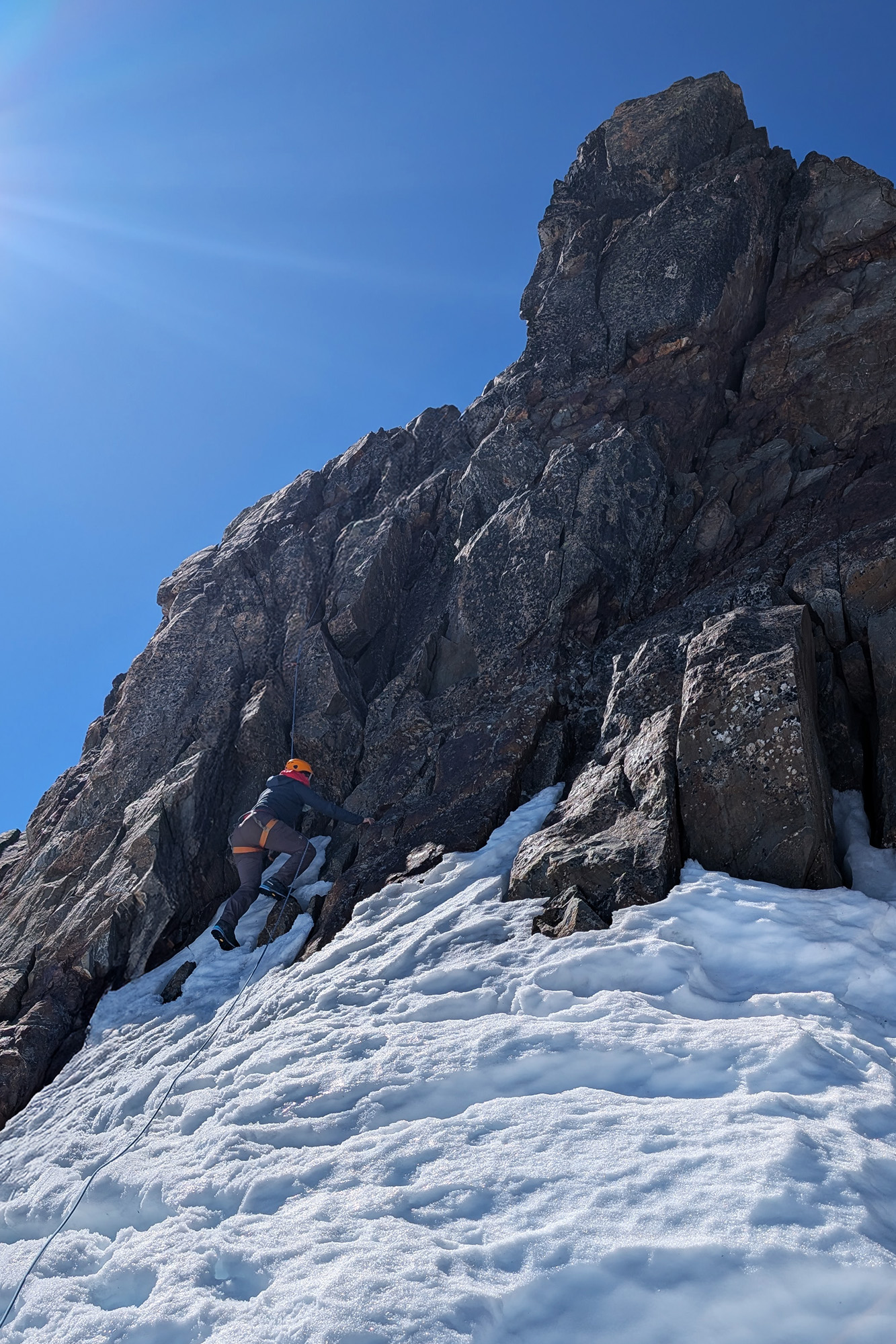
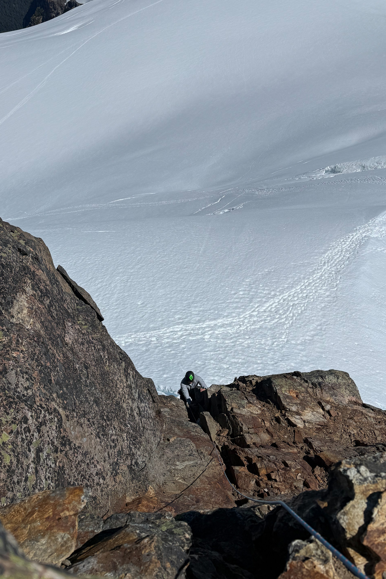
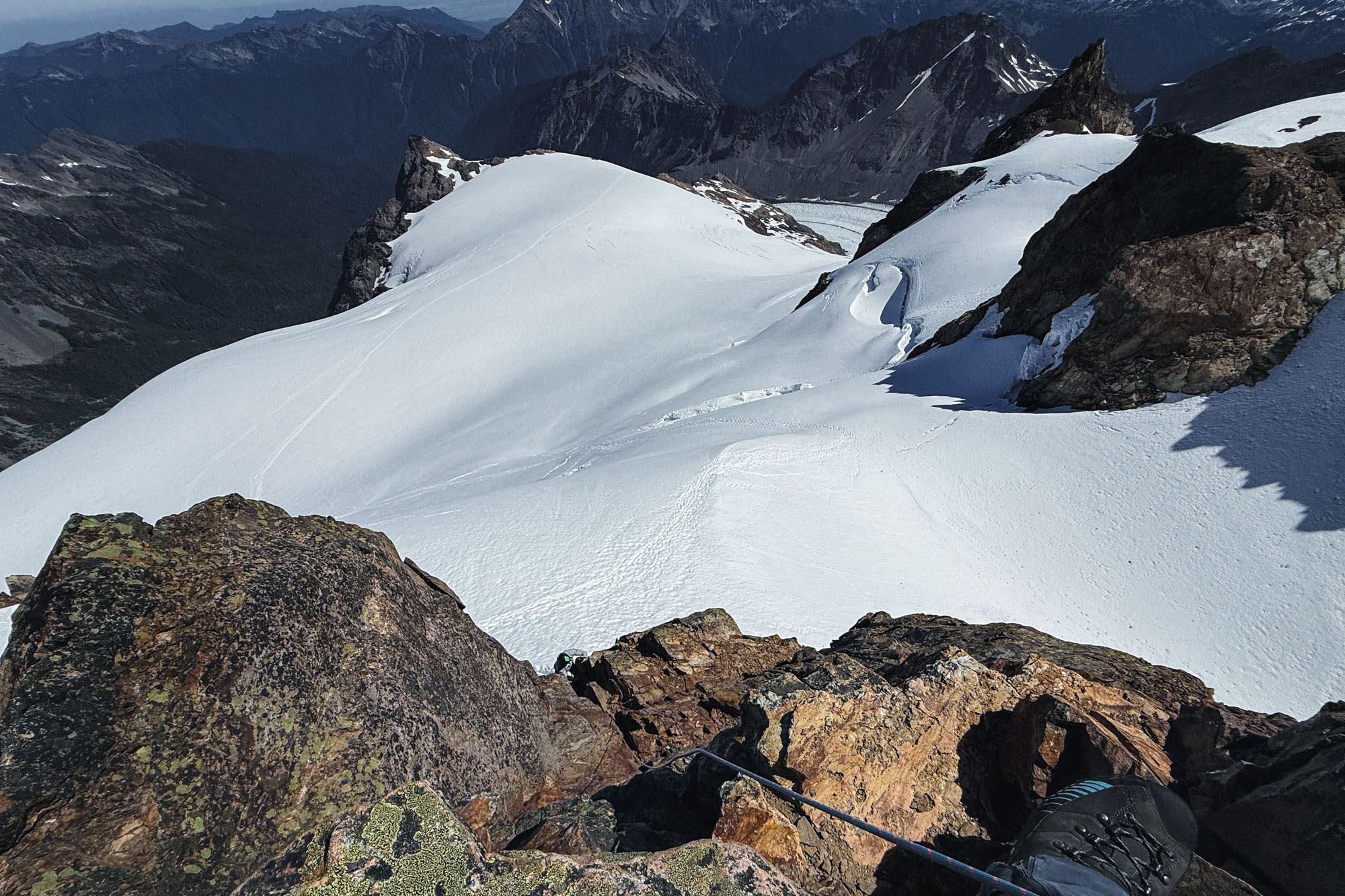
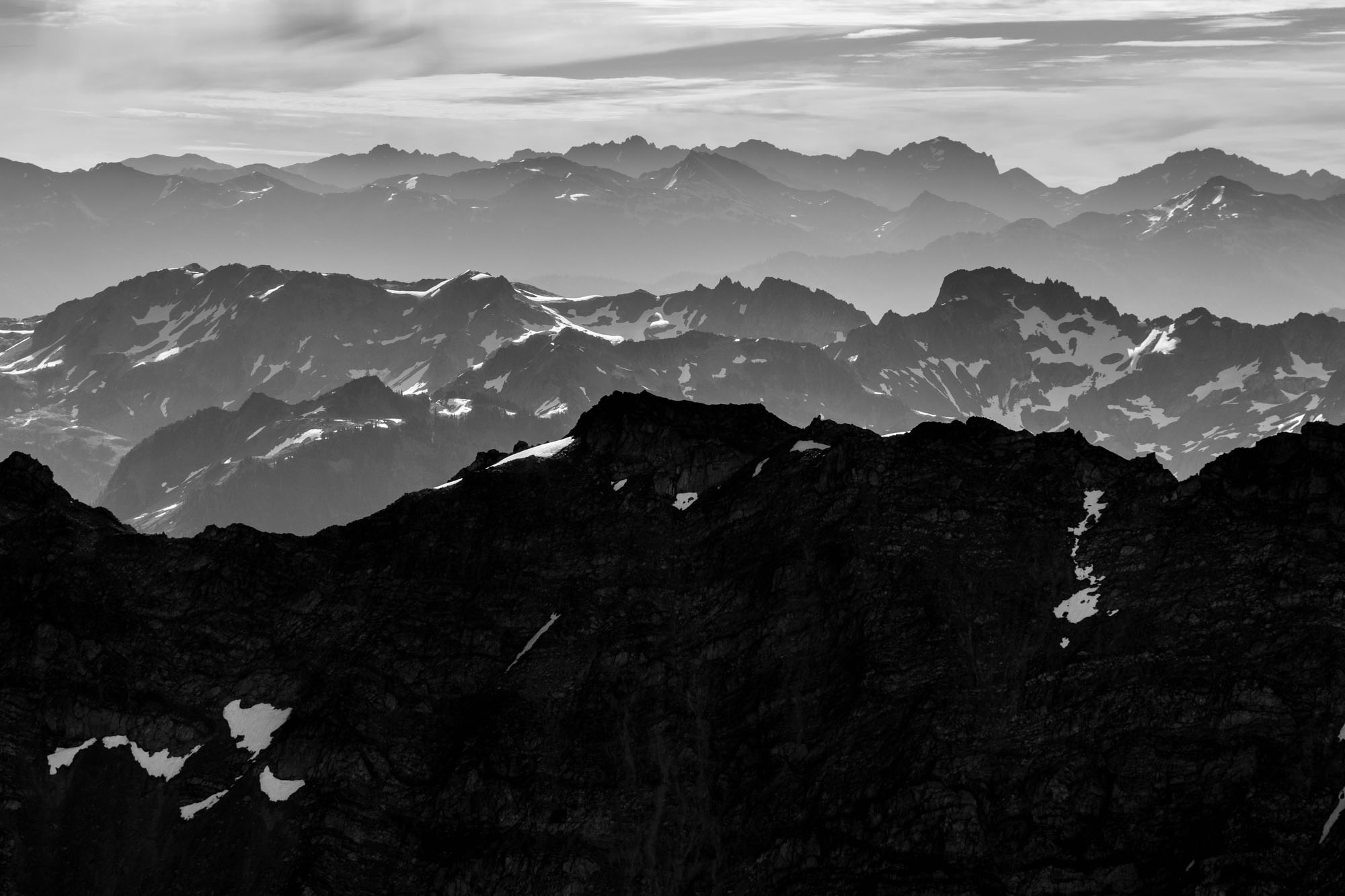
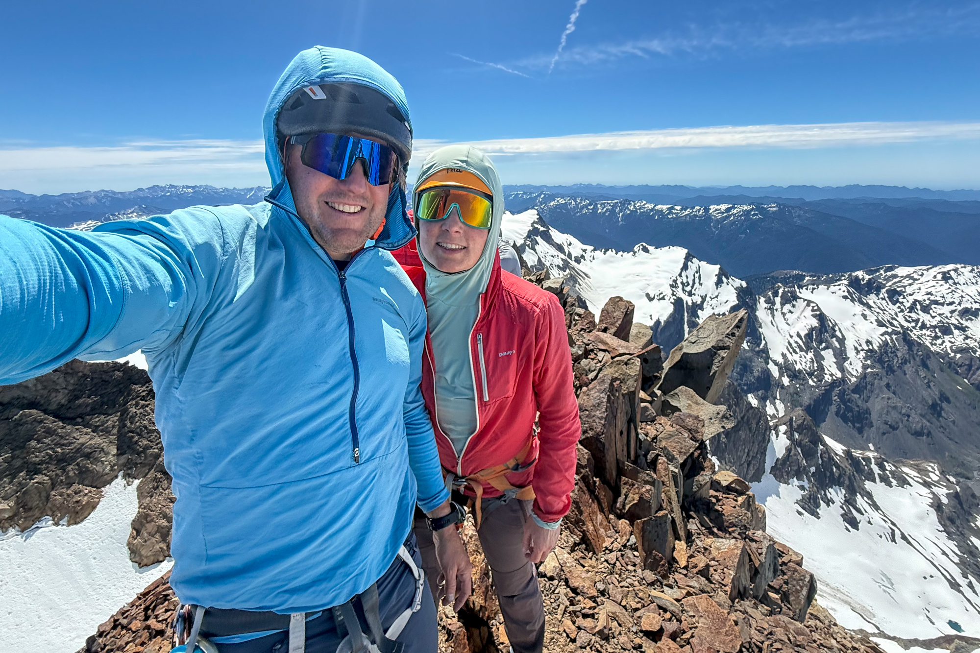
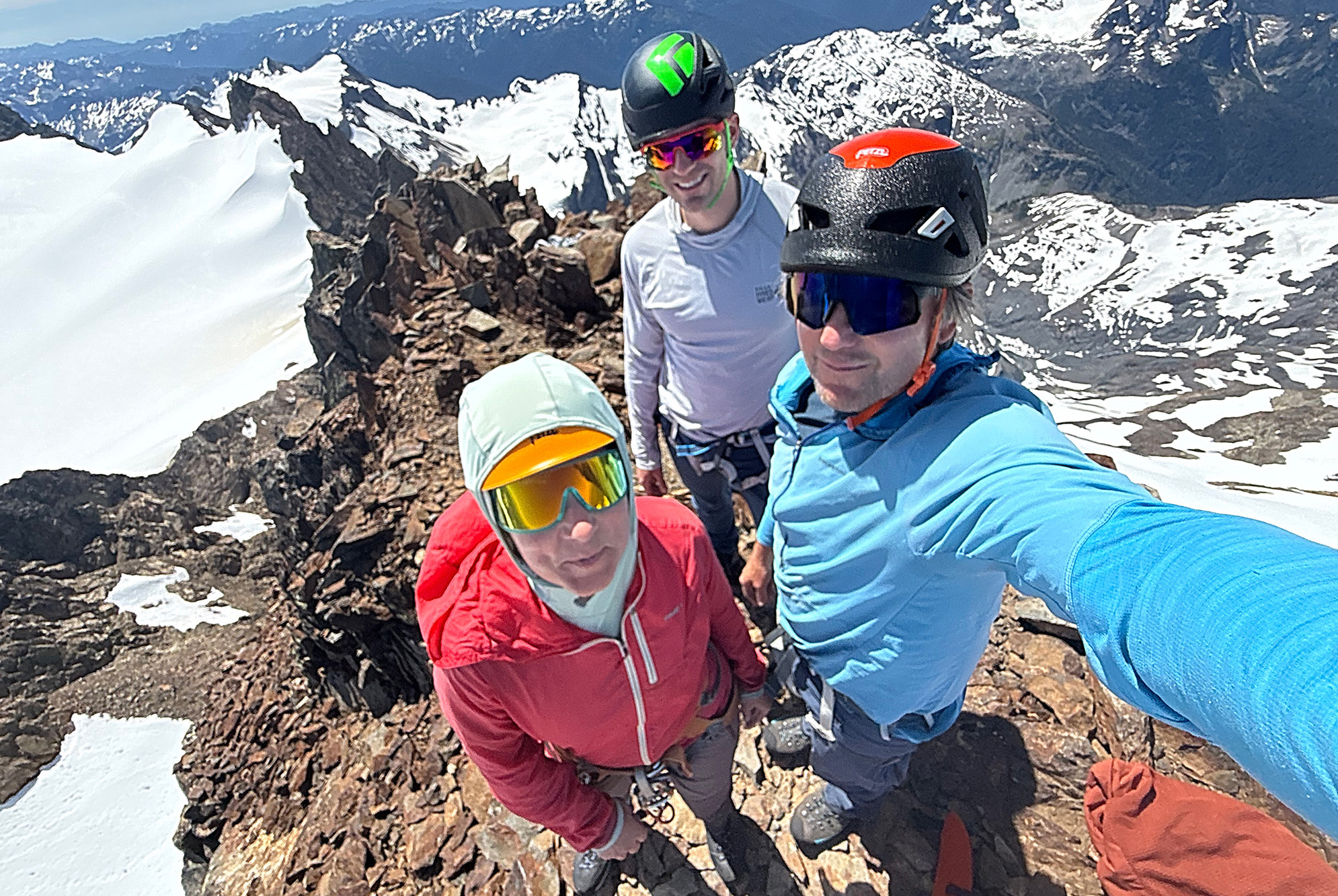
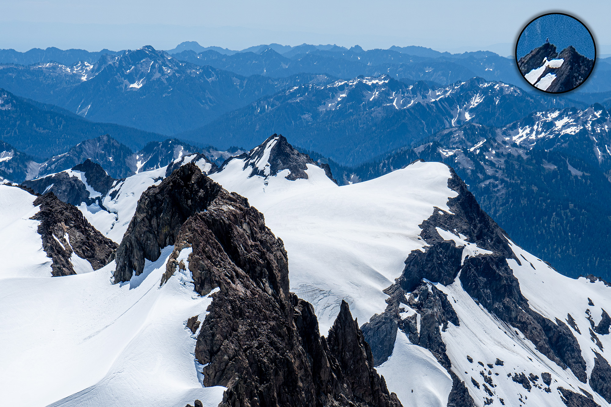
And then on top on a perfect day. Not a lick of wind and hardly a cloud in sight. Which was good because we’d end up sitting around for almost 2 hours while the other party figured out how to get down. But we had water and snacks and in the distance we could see climbers (whom we had run into at the pass) approaching the summit of Athena. I helped out the other party by belaying them down to the rap anchors – and later scrambled over to pass off an ATC so the final party could get down. And finally we were rappelling and back on the snow and packing up for the hike down.
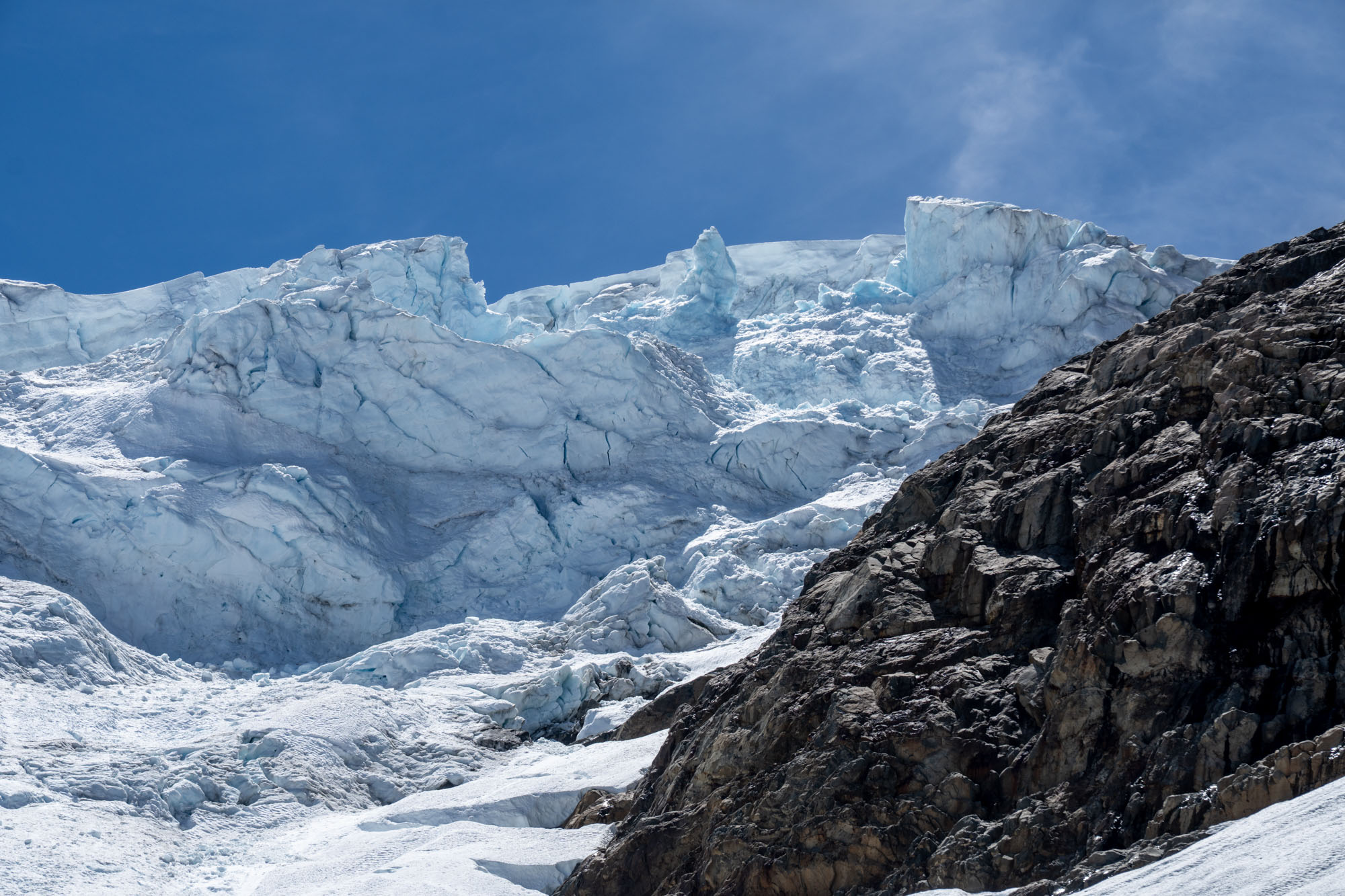
Down the glacier. It was hot and the headwall was turning into mush so we kept a tight rope and carefully worked our way over the bergschrund. After that the snowpack improved and we mostly stayed on top as we tromped across the plateau to the slopes that dropped down to the lower glacier. Once down the slopes we roped up again and stepped out into the runout zone below the icefall. It was hot and there were signs of recent serac fall so I told everyone to move fast and we set off at a jog down through the runout zone. A few minutes later we were out of the zone and on blue ice and unroping and tromping across glacier in the hot afternoon sun. Then a hot climb up the nasty talus slope and finally on the ridge and down to camp.
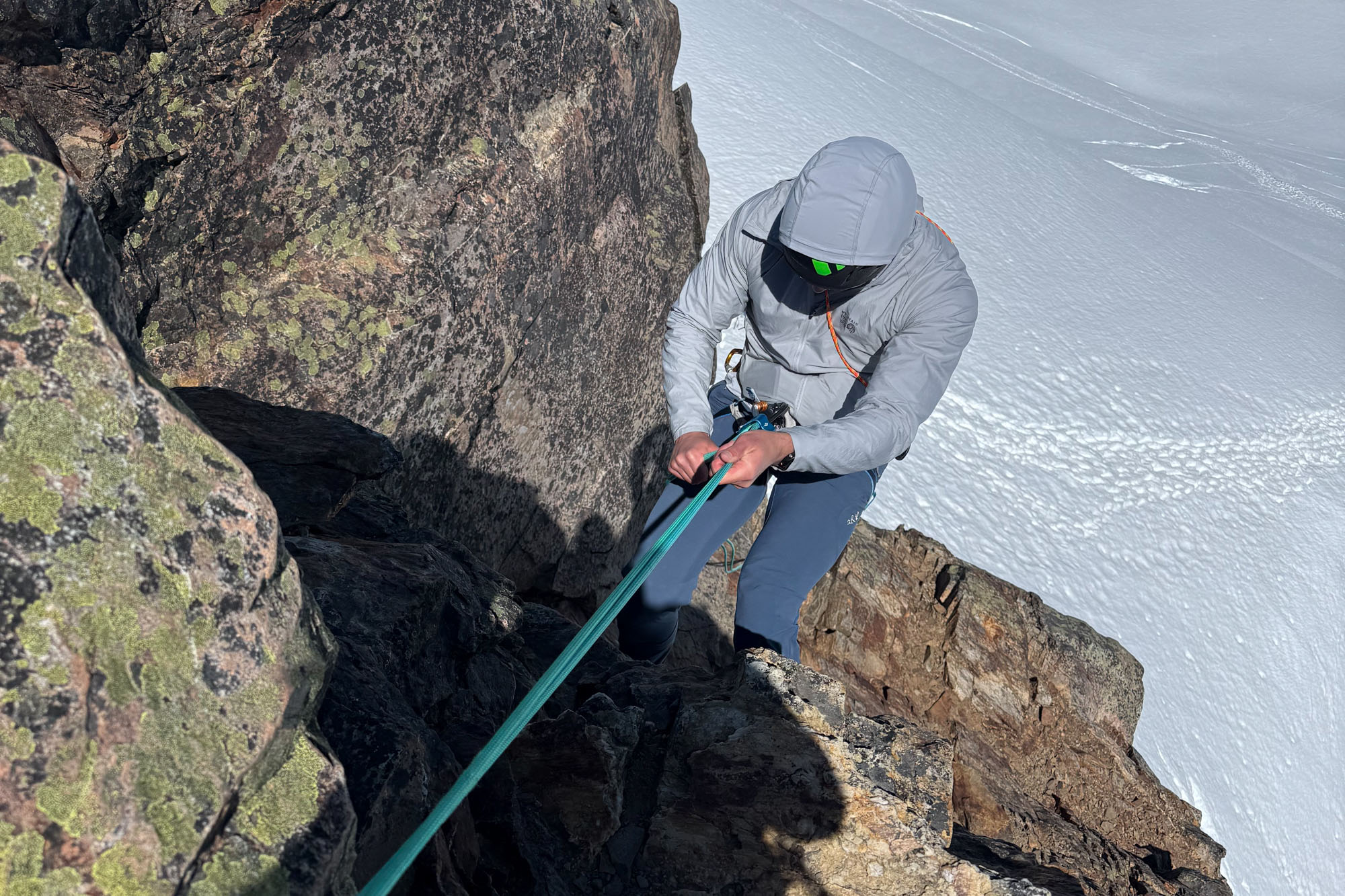
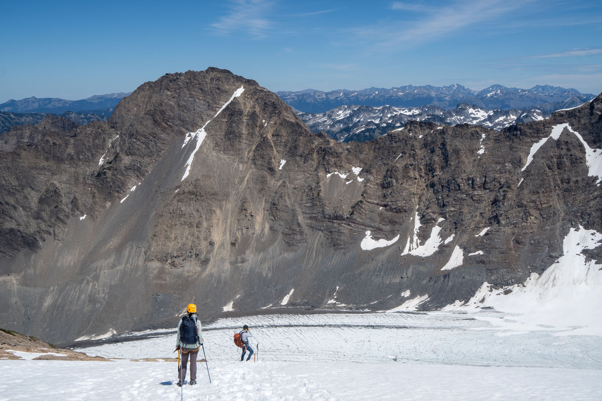
But we still had miles to go. Our final permit was for Lewis Meadows – which was 9 miles down valley. And given that we had spent 4 hours on the summit it was way too late. So we packed quickly and set off. Down valley, back up the ladders and then descending for 3,000 feet and walking 9 miles until finally reaching Lewis Meadow camp just as it got dark and setting up the tent and eating after it got dark and finally falling deeply asleep after a long fun day.
The next day was a mellow 12 mile hike back to the car. It was sunny and hot but the canopy kept us comfortable and before too long we were back at the car and driving to Forks for pizza and then to showers and more food and finally to the airport for a return trip home. A wonderful trip with family!
Climbing notes
There are dozens of websites with info about this route. Some definitive sites include:
- NPS Climbing Mt. Olympus: Basic beta with links to permits etc.
- Rec.gov permits: Permits for the Hoh trail. Note that small parties have to call the wilderness office directly to book Glacier Meadows.
- The Mountaineers: Details about the approach and the routes along with links to recent club trip reports.
- Steph Abegg’s Olympics Traverse: Tons of details and photos from a 2007 ascent. Steph is the gold standard of climbing TRs.
- PeakBagger: Recent TRs and GPX.
My $.02:
- Do it as a 3 day trip with first night at Glacier Meadows and the second night at either Glacier Meadow or Elk Lake. Doing this as a 4 day trip means a lot of down time.
- NPS requires bear canisters. Good luck trying to go light with a bear canister.
- Take a 60m rope. Anything less will require down-climbing and will slow down your descent.
- We took 4 cams (.4, .5, .75 and #1), 5 medium sized nuts and some slings. It was adequate.
- If climbing with a party of 3 the third person will need to climb with the second since the climbing portion is roughly 120′. You’ll need to come up with a plan for the 3rd that allows them to follow without risk of rockfall – either by using a fixed line, tying the followers closer together or having the second move their tie-in spot at the broad ledge half way up the pitch.