These are photos and notes from an ascent of Flying Cornice, the 4,006-foot peak that forms the south corner of the Portage, Placer, and Ingram valleys (60.78213, -149.0603).
The name “Flying Cornice” was proposed by Bob Spurr, who attempted an ascent from the west sometime in the 1960s. Despite not reaching the summit, he suggested the title. The first recorded ascent of the true summit – the furthest point to the south-east – did not occur until June 1988, when Tom Choate and Ken Zafren climbed the Northeast Face via a glacier that led to the East Ridge. A trickle of climbers followed over the years, and the mountaineering community socially continued to refer to the peak as Flying Cornice.
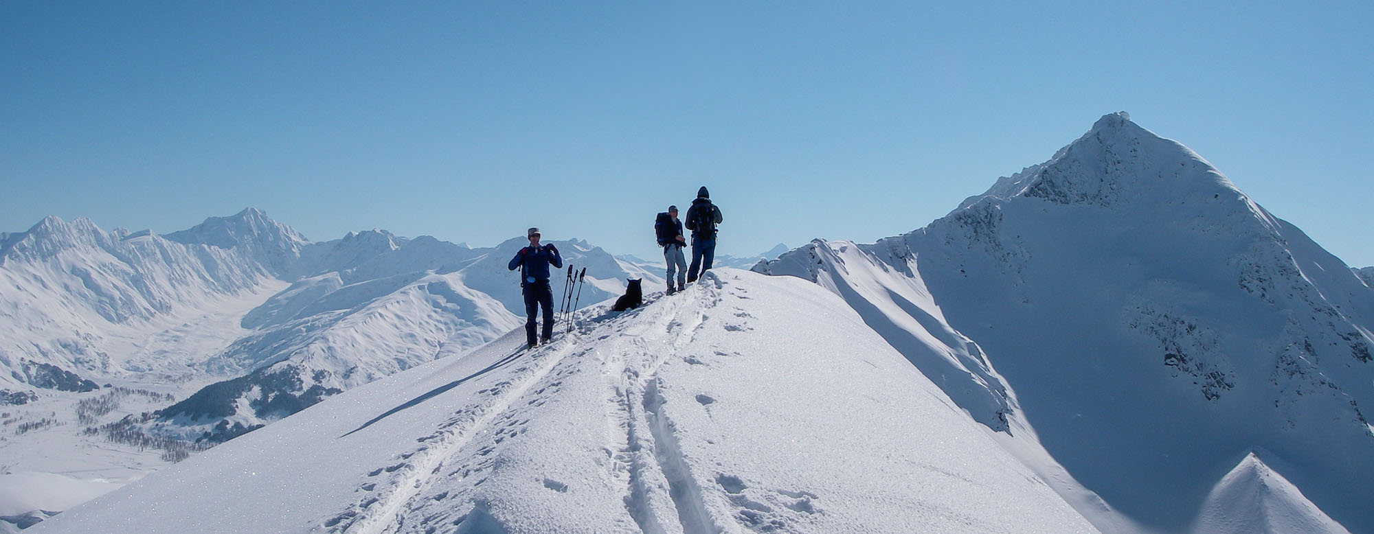
About 20 years later, skiers began calling the peak “Wolverine.” They presumably based this on Wolverine Creek, the official USGS name originally reported by prospectors in 1904 for the creek adjacent to the mountain. Today, the peak has competing names: Chugach Avalanche Center calls it Wolverine, while mapping apps like CalTopo pull data from OpenStreetMap and label it Flying Cornice.
In regards to nomenclature, the Turnagain Pass region draws from a mixture of historical sources. Tincan, for example, comes from Tincan Creek, which was officially adopted after prospectors staked their claims using old tin cans. Kickstep, on the other hand, was named for the technique of kickstepping used by mountaineering club members during their ascent of the mountain. Other placenames like Wolverine, Taylor, and Bertha Creek were named by prospectors and later officially adopted. Meanwhile, Ingram Creek was named for R.C. Ingram (who died in 1948), an engineer who oversaw much of the road work in the area.
Unofficially, most of the area’s common names come from the skiers and snowmachiners who frequent the terrain. Superbowl was named to commemorate a ski descent on Super Bowl Sunday. Eddies was named after a Girdwood local who frequented the area, and Sunburst earned its name because its ski slopes catch the sun for most of the day all season long.
Which brings me back to the peak we climbed. Poacher and Viking called it Wolverine. More specifically, they called the western slopes Wolverine Bowl, the treed bump further north Fairyland, and the steep north face Flower Box.
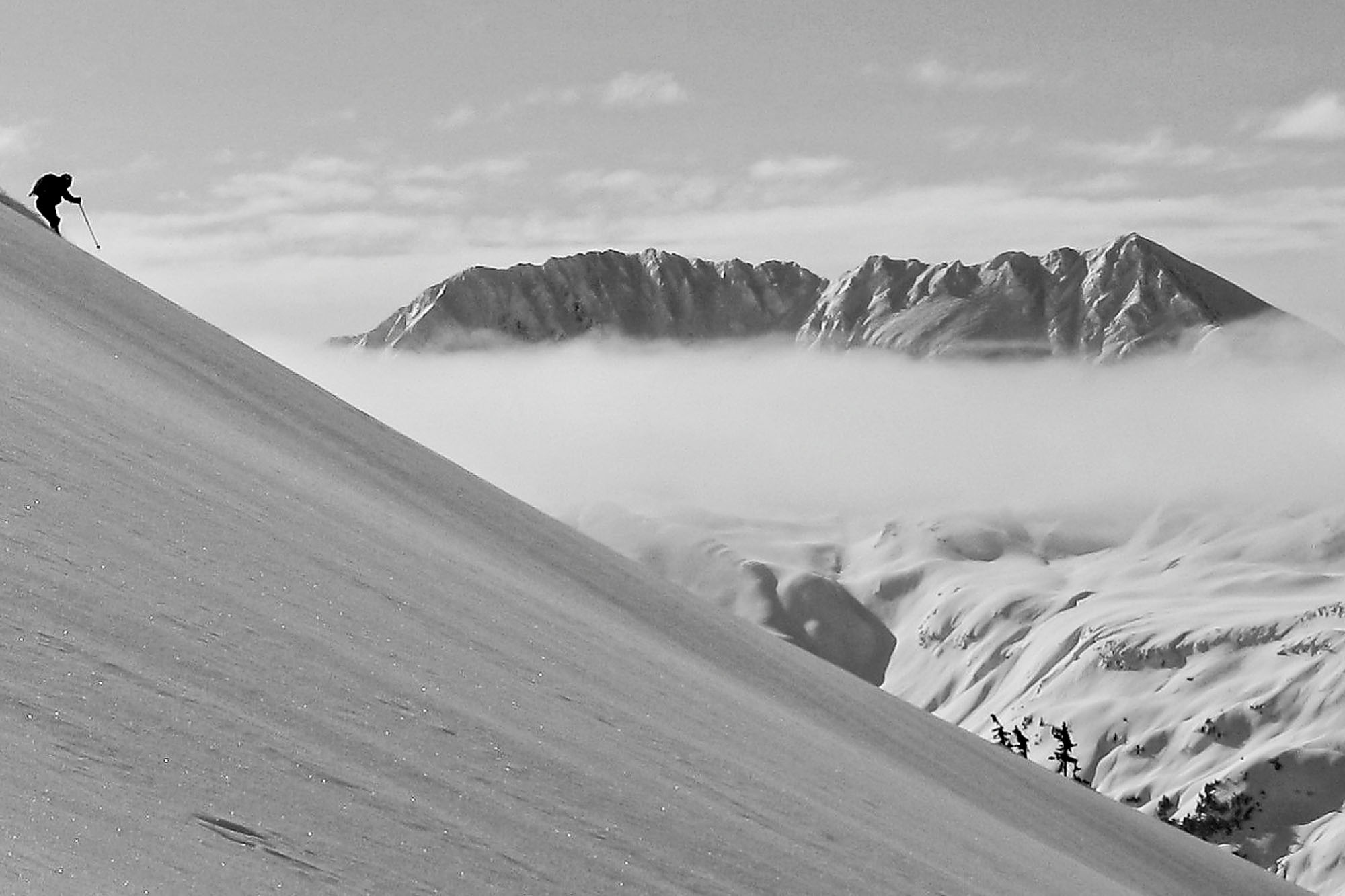
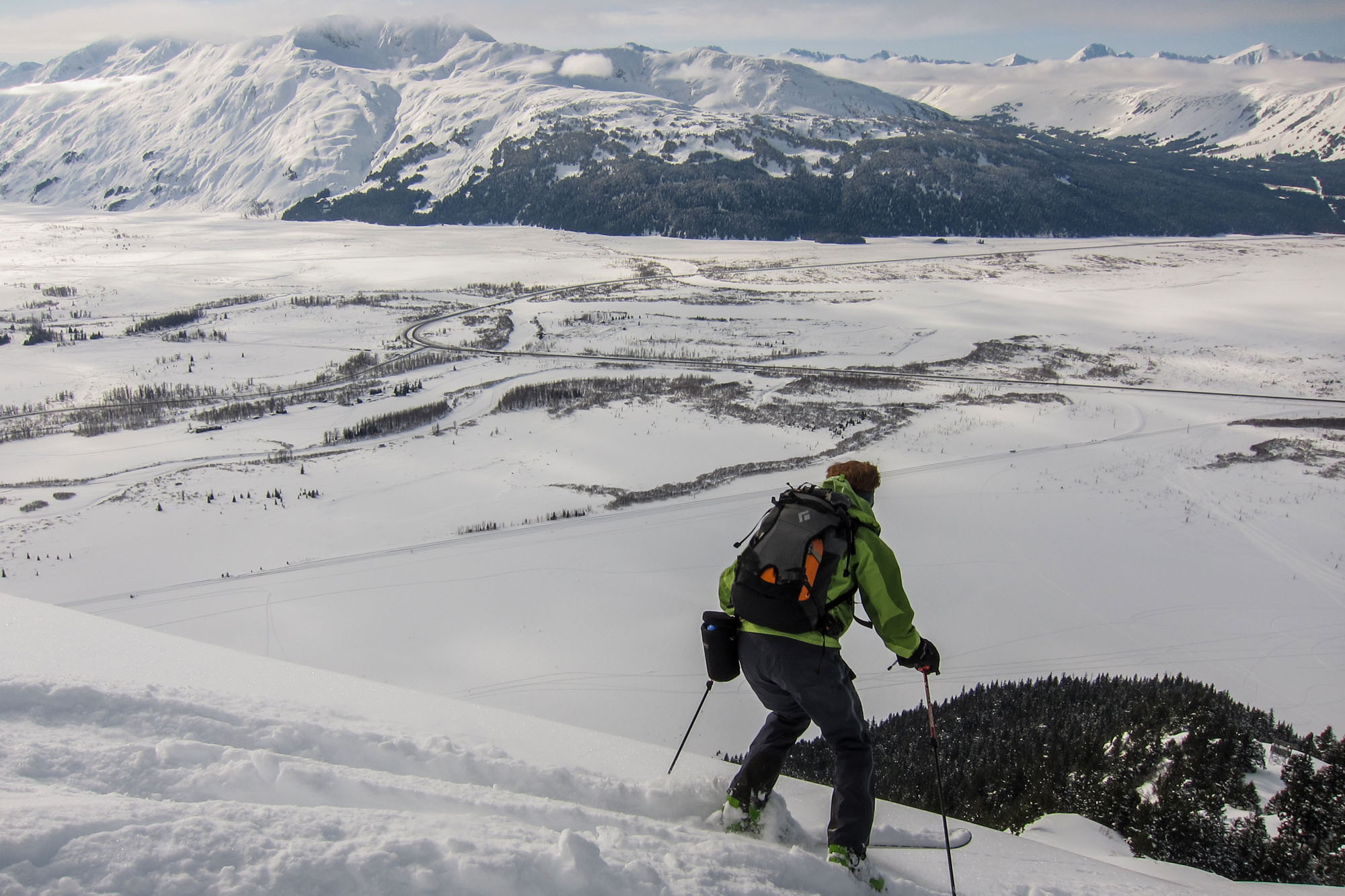
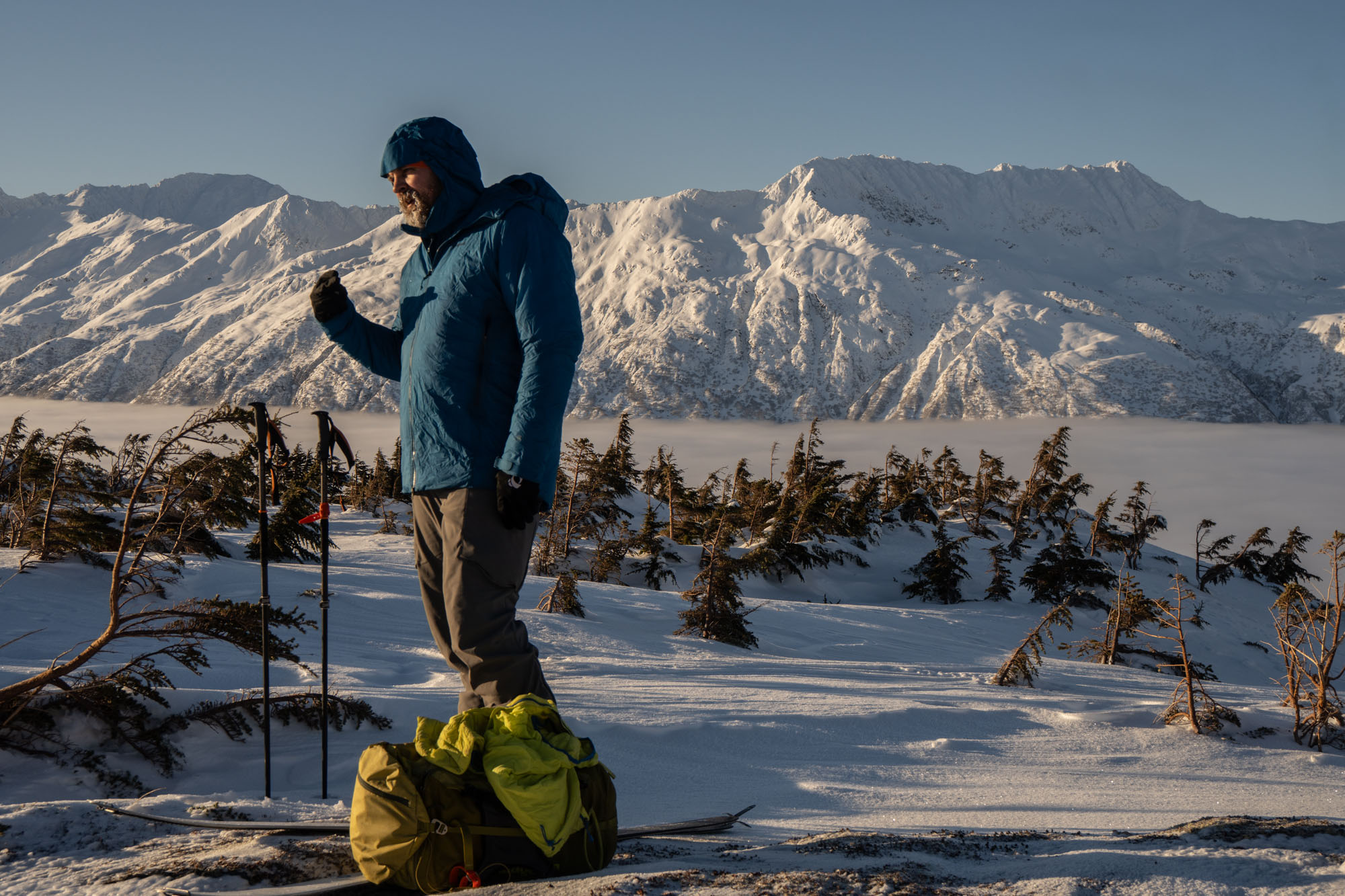
I mention all of this because once, in a meeting, we were attempting to approve the design of a CNFAIC sweatshirt featuring Turnagain Pass labels. When I suggested that we should rename “Wolverine” to “Flying Cornice,” I was met with hisses and boos from a couple of prominent local skiers.
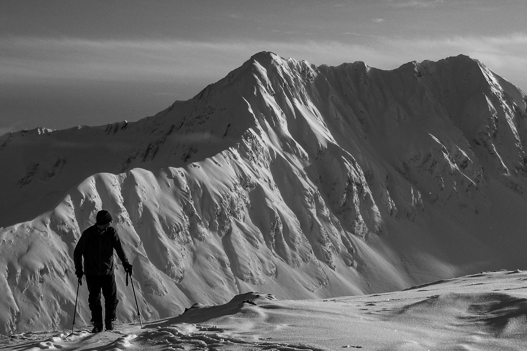
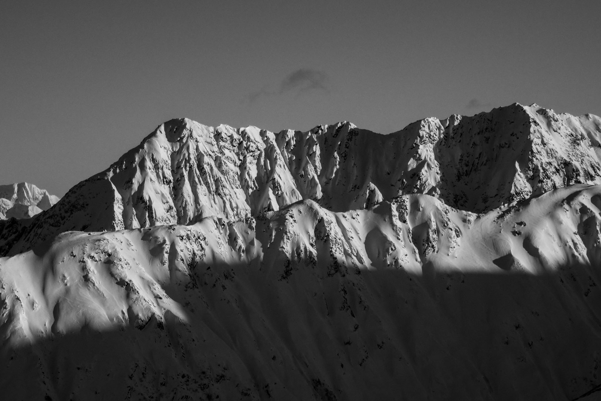
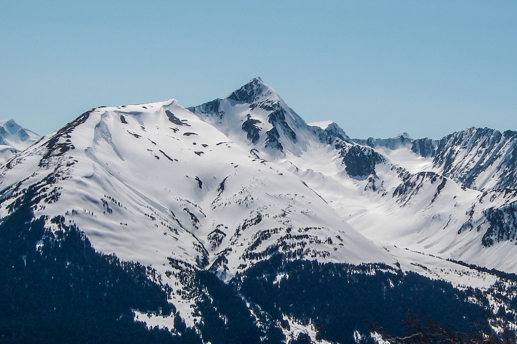
The New York Times recently wrote that “contested place names often represent deeper political or territorial disputes” – so perhaps the friction goes deeper than a simple preference. The skiers who opted to deliberately ignore existing nomenclature may have done so to mark their boundaries. But hey – at least it wasn’t a hydronym.
All that said – since Bob Spurr was poking around in Turnagain Pass 20 years before Poacher and Viking, I’m going to refer to the true (south) summit as Flying Cornice. And since most of the world seems to stick a letter on every single peak on a summit ridge, I’ll call the northermost peak Wolverine Peak. Wolverine Bowl, Fairyland, and Flower Box remain unchanged.
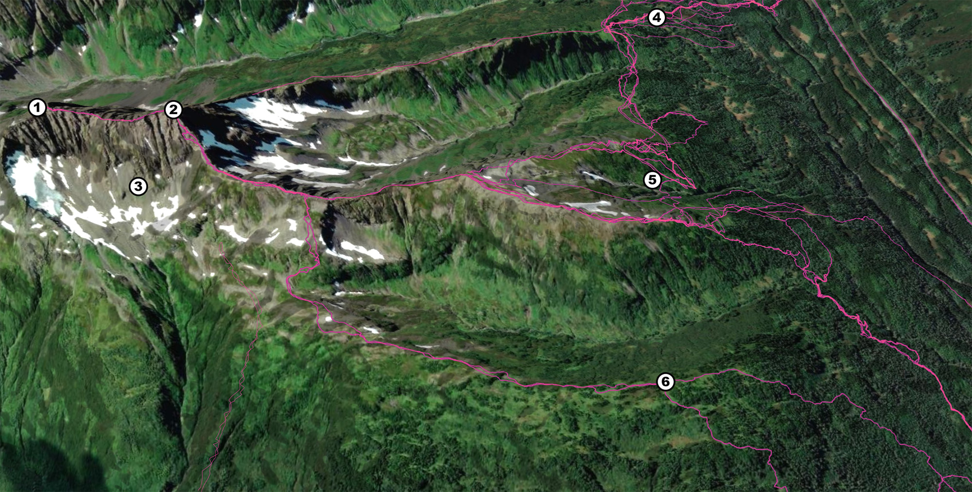
Nomenclature rant aside, this zone has historically seen very few visitors. The first ascent wasn’t until 1988, and since then, only a trickle of climbers have braved the brush to reach the summit. Over the years, it’s definitely seen more skiers than climbers – but even the skiers who know the zone have trouble navigating the thick brush and finding the right places to cross the creek. I’ve been in there a dozen times, and my GPS tracks are different every single time. I’ve skinned up the north side to Flower Box in March, gotten completely lost in the woods below Wolverine Bowl, and fought my way through the brush to ascend the Fairyland ridge in November.
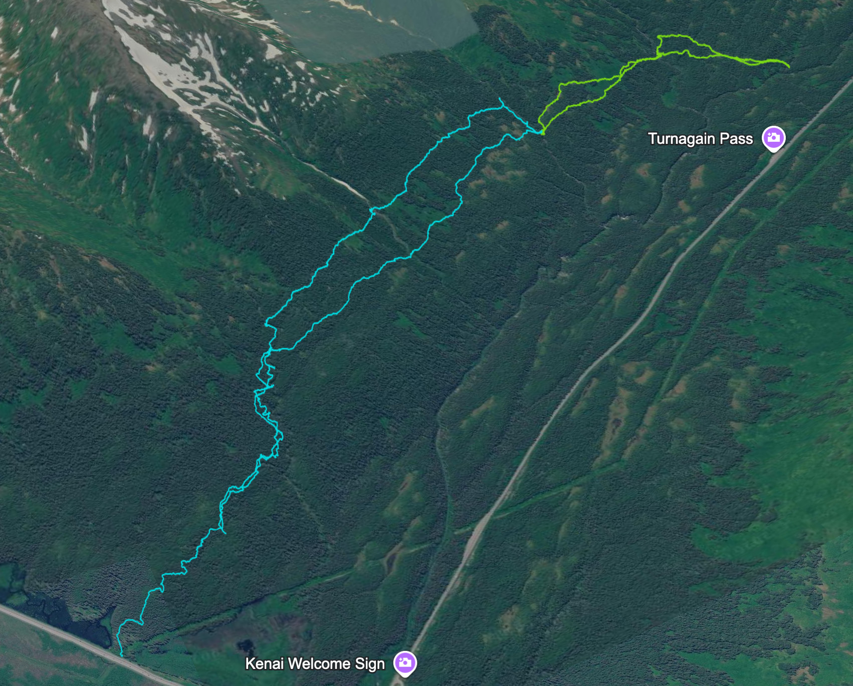
In 2011 the USFS started building a trail parallel to the road to commemorate the original route of the 1908 Iditarod. That trail has been slowly expanding for over 15 years, and currently the final leg from Eddies to Ingram Creek is under construction. Eventually this trail cut into the woods just south of the the Eddies Ingram bridge and traverse across the bench below Wolverine Bowl, all the way to Ingram creek.
This will drastically change access to this zone. What was once only a zone that dedicted bushwahckers rarely visited has become an easily accessible hike. For skiing it will remain a slog (it’s 5 miles one way to the top of Wolverine bowl) – but summer access to the alpine is very straightforward.
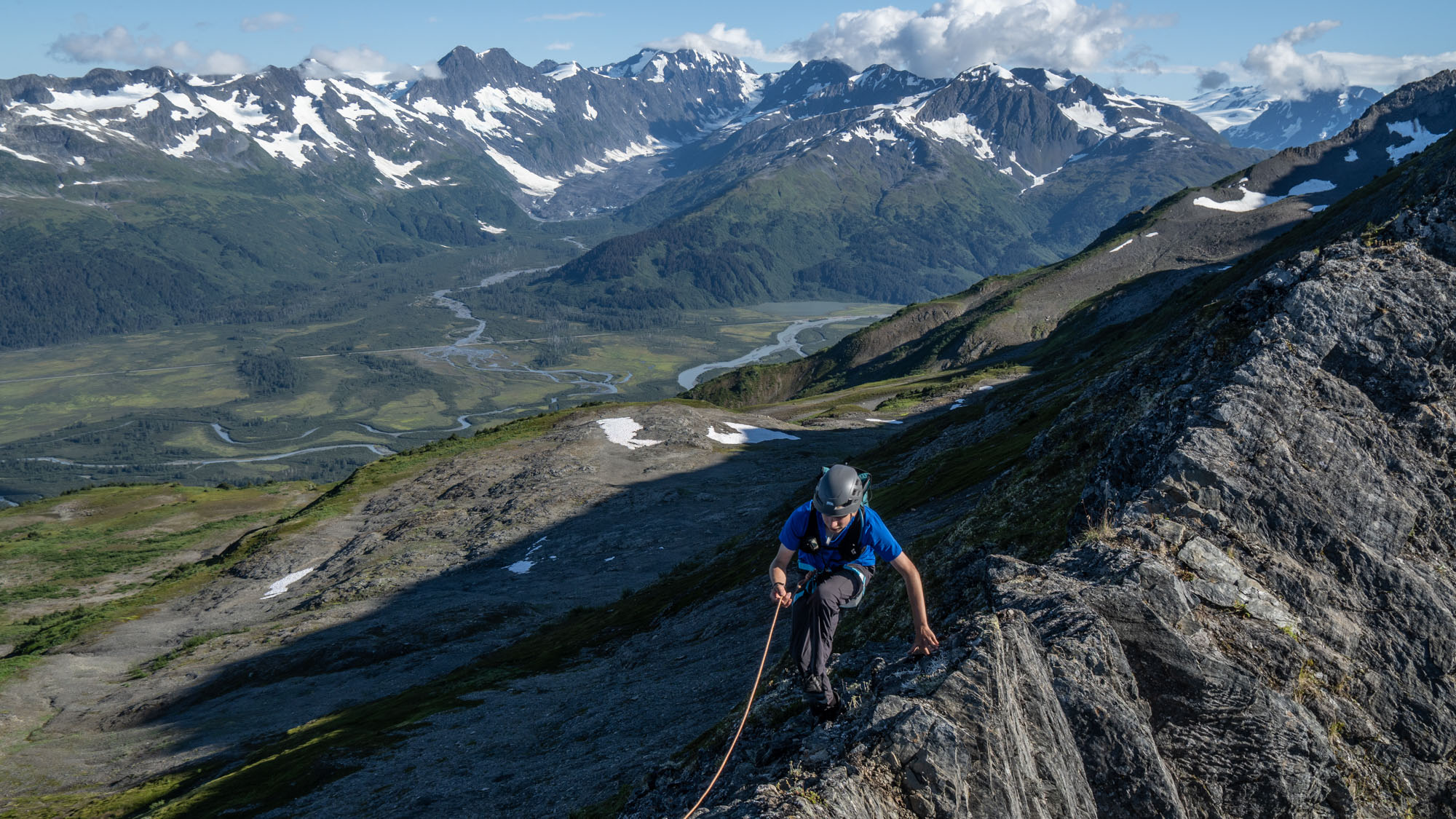
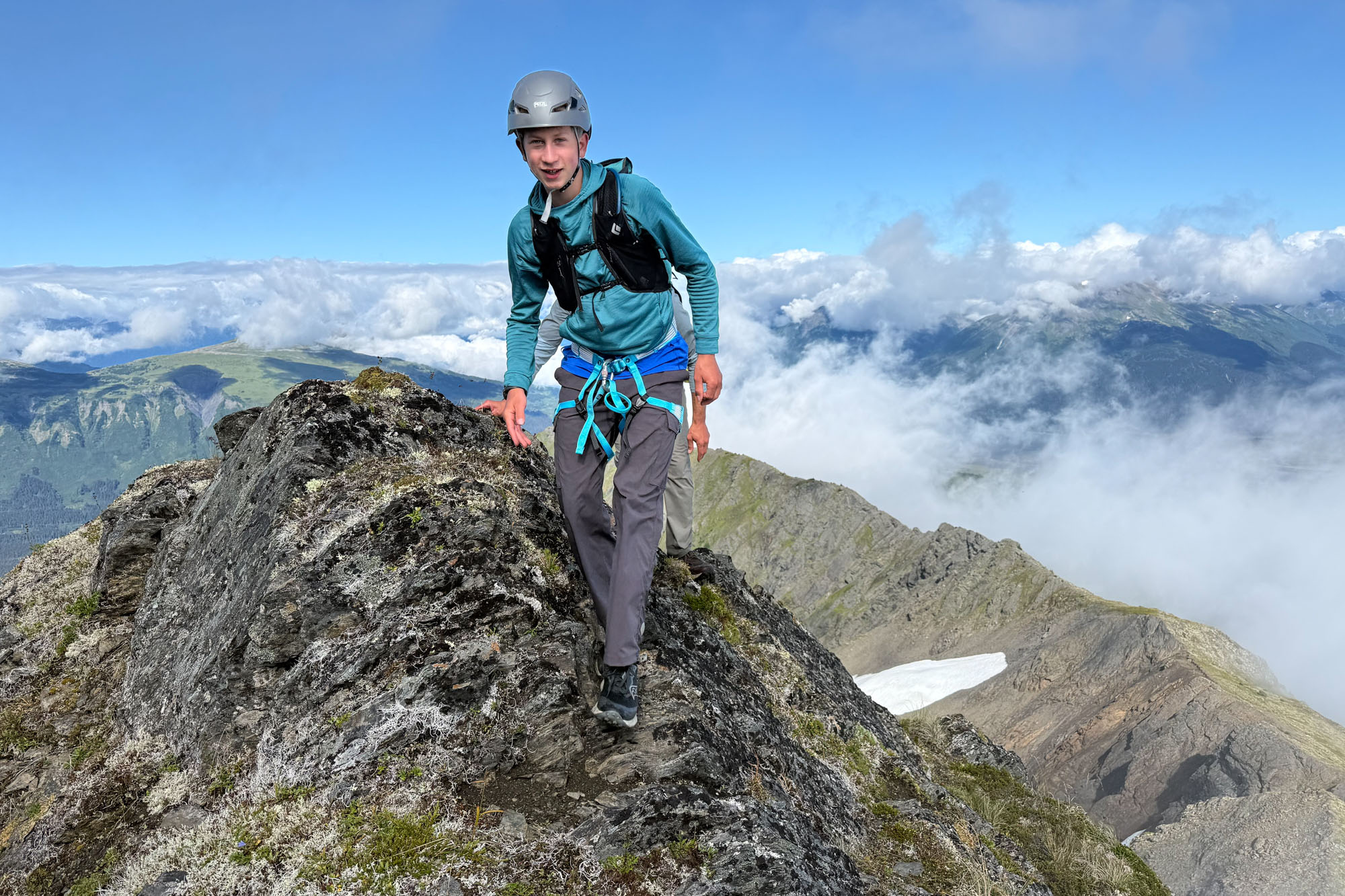
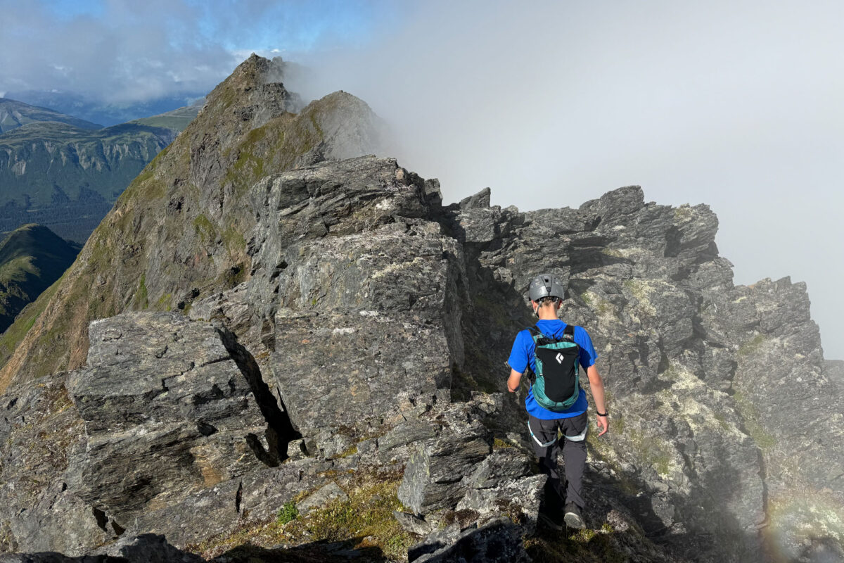
Finn negotiating the one tricky spot on the ridge. His dad insisted on the rope and after ascending the step he announced, “I didn’t need the rope”.
Knowing that about two miles of the trail were already complete – and that it would be fairly easy to hit the treeline from there – I asked Eric if he wanted to join me for a summer ascent of the West Ridge. Eric readily agreed and said his 15-year-old son, Finn, wanted to come too. I’ve been climbing with Eric for 20 years, way back before we even thought about things like kids, marriage, and mortgages. The prospect of having his son join us conjured up all sorts of emotions and memories.
We met up at Carrs-Huffman and drove south. After parking at the Ingram Creek pullout, we walked a short distance down the paved bike path before peeling off onto the new trail. As of August 2026, the trail is complete for about two miles, right up to where the creek draining Fairyland has carved a deep gorge. Eventually, the Forest Service will build a proper bridge across this section, but for now, a makeshift bundle of logs makes the crossing easy. We crossed over, walked another five minutes, and then ducked into the woods to gain the north ridge of Wolverine Bowl.
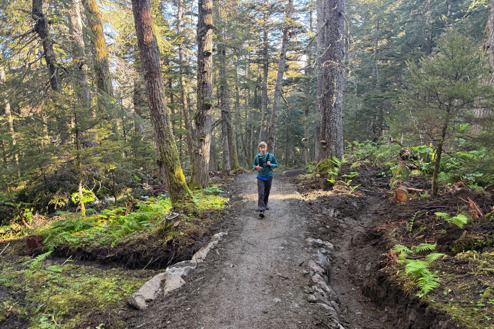
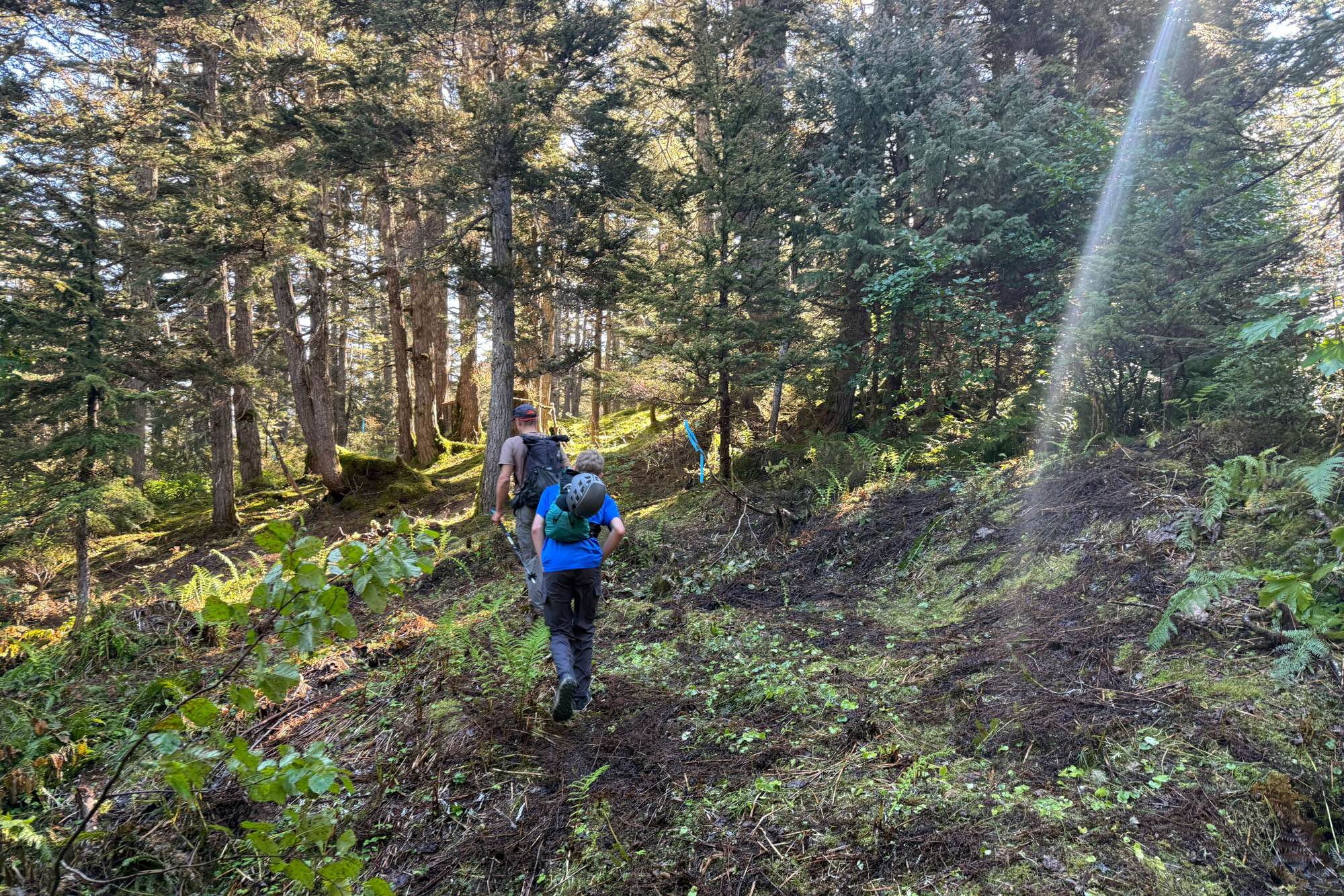
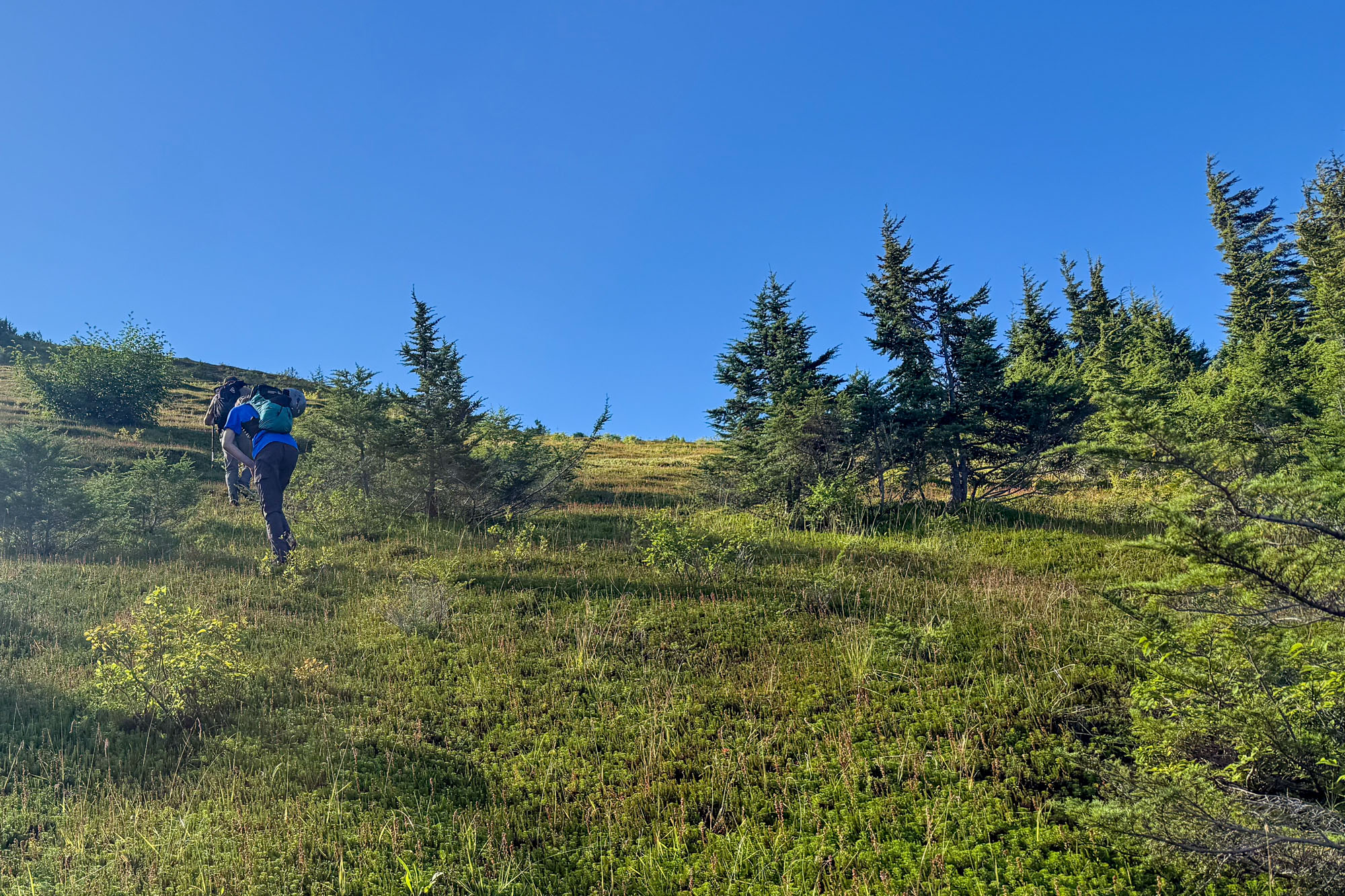
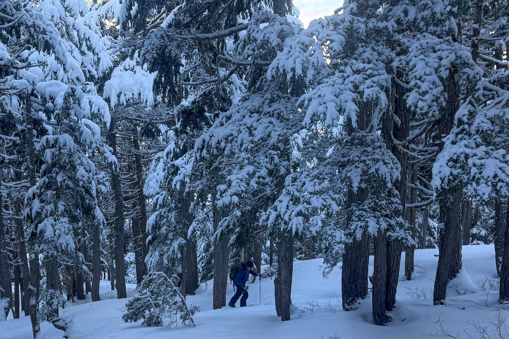

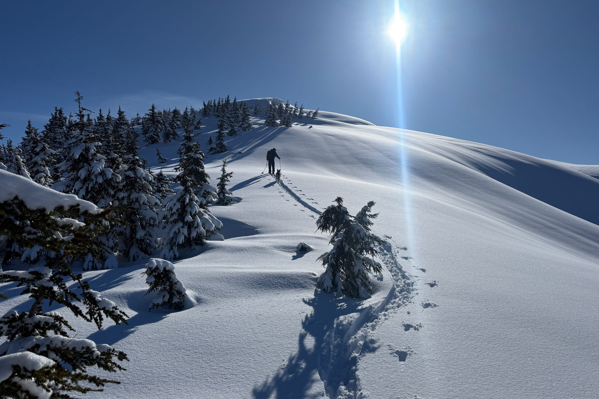
Once off the trail, we ascended 700 feet of steep terrain covered in a mixture of hemlock, spruce, and highbush blueberry. Miraculously, not once did we have to wade through devil’s club or alder. Just an hour and fifteen minutes after leaving the trailhead, we broke out of the brush and stood on the upper ridge.
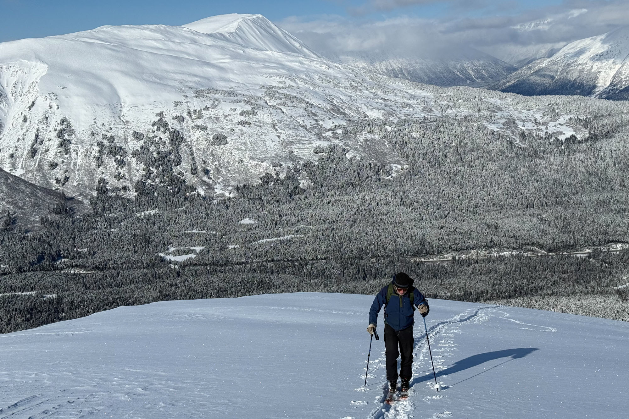
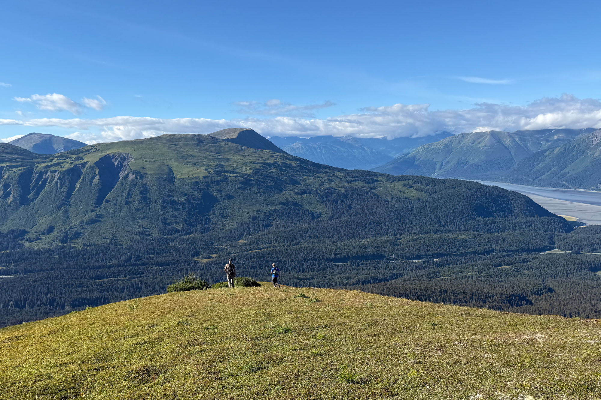
The upper ridge is glorious hiking. I’ve been on it several times in the winter and once in the fall – accessed via a brutal bushwhack up Fairyland – but I had never been up there in mid-summer. The lush green tundra and 360-degree views make the ridge a worthwhile destination all on its own. There are two distinct ridges that border Wolverine Bowl, and once the Forest Service trail is fully complete, linking them together would make for a spectacular summer loop.
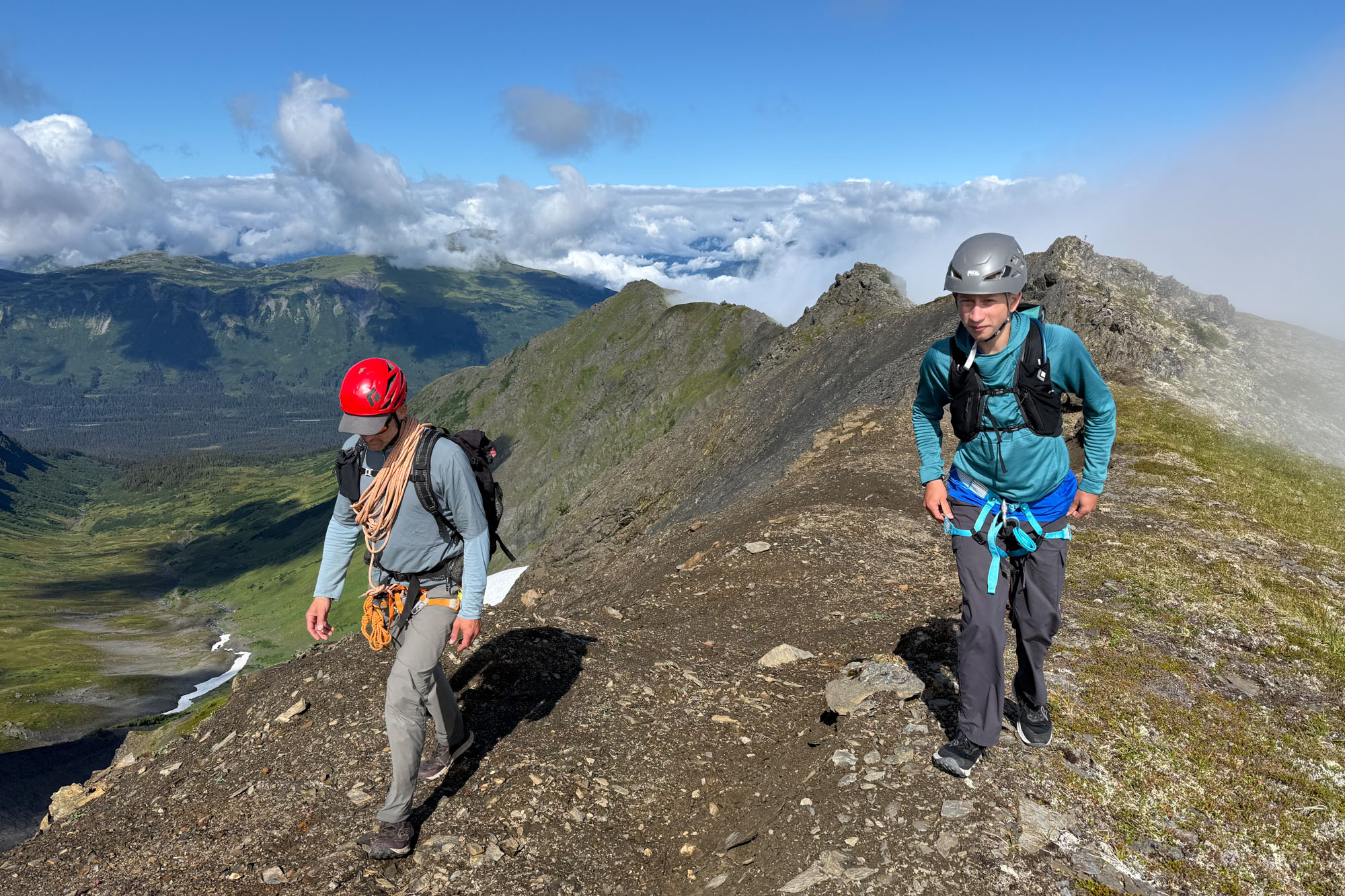
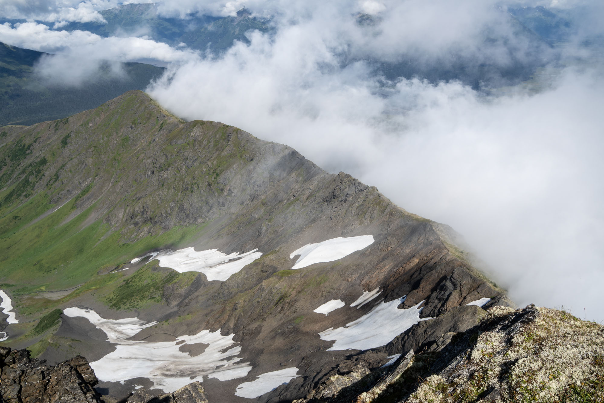
We hiked up the ridge in swirling clouds until reaching the point where the two ridges of Wolverine Bowl join. Beyond that, the ridge narrowed and steepened, tossing up several rocky points before finally meeting the summit ridge. From the treeline to the top of Wolverine Bowl is one mile – and from the top of the bowl to the base of the summit ridge is another mile. I had been to the top of Wolverine Bowl several times, and I had even reached the base of the summit ridge before, but I had never hiked the mile in between.
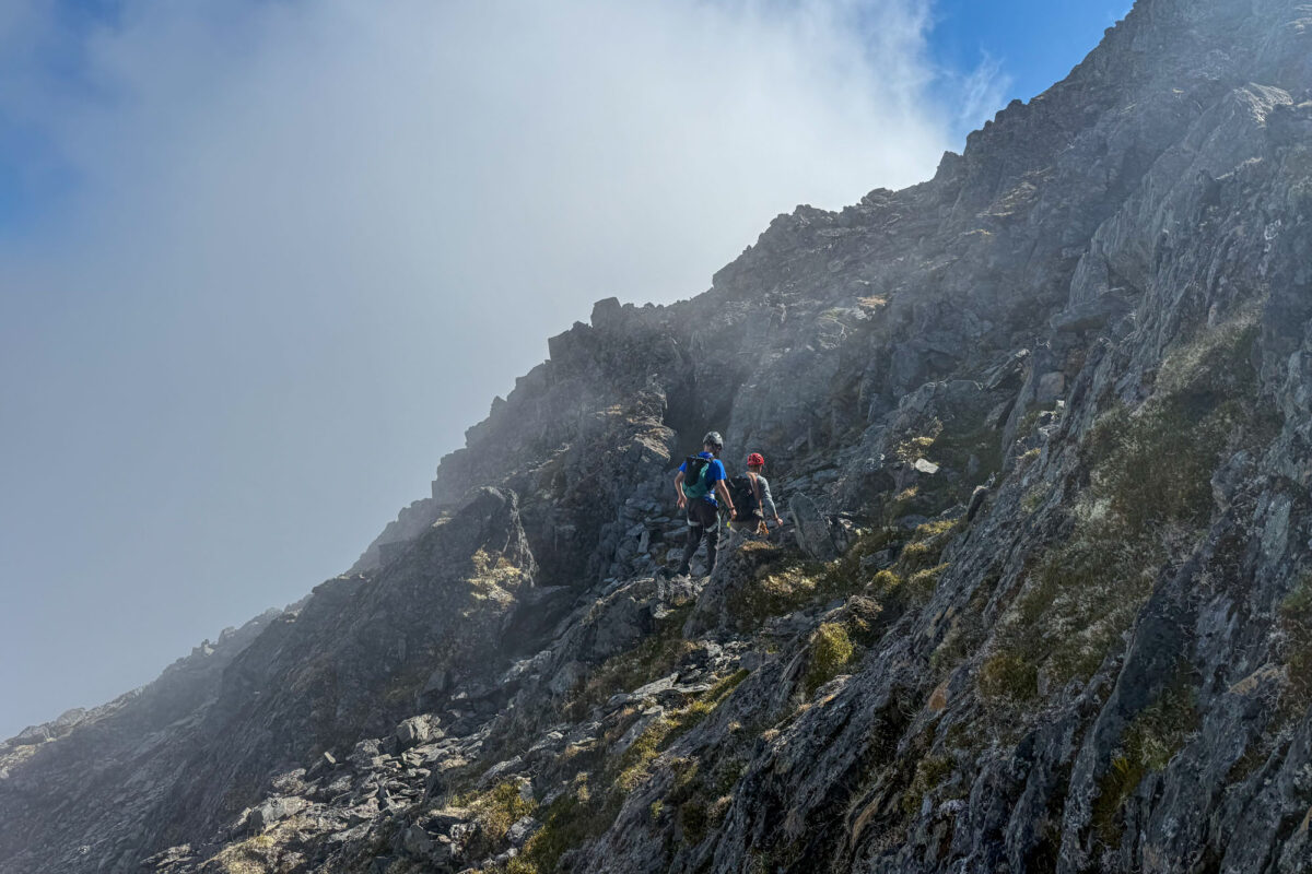
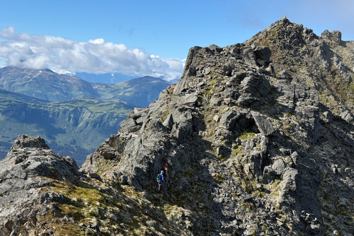
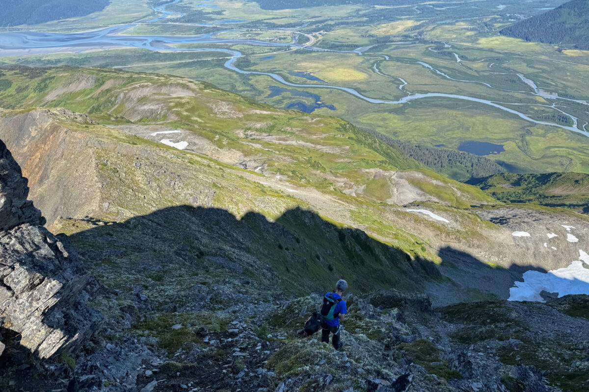
It turned out to be a fantastic section – rocky and exposed, with a solid goat trail to follow. There was one exposed, Class 3 step where Eric decided to put Finn on a rope and belay him across. Beyond the notch, the ridge got a little steeper and more exposed, but it was still easy travel. Once we were finally across the lower part of the ridge, we stood at the base of the summit block.
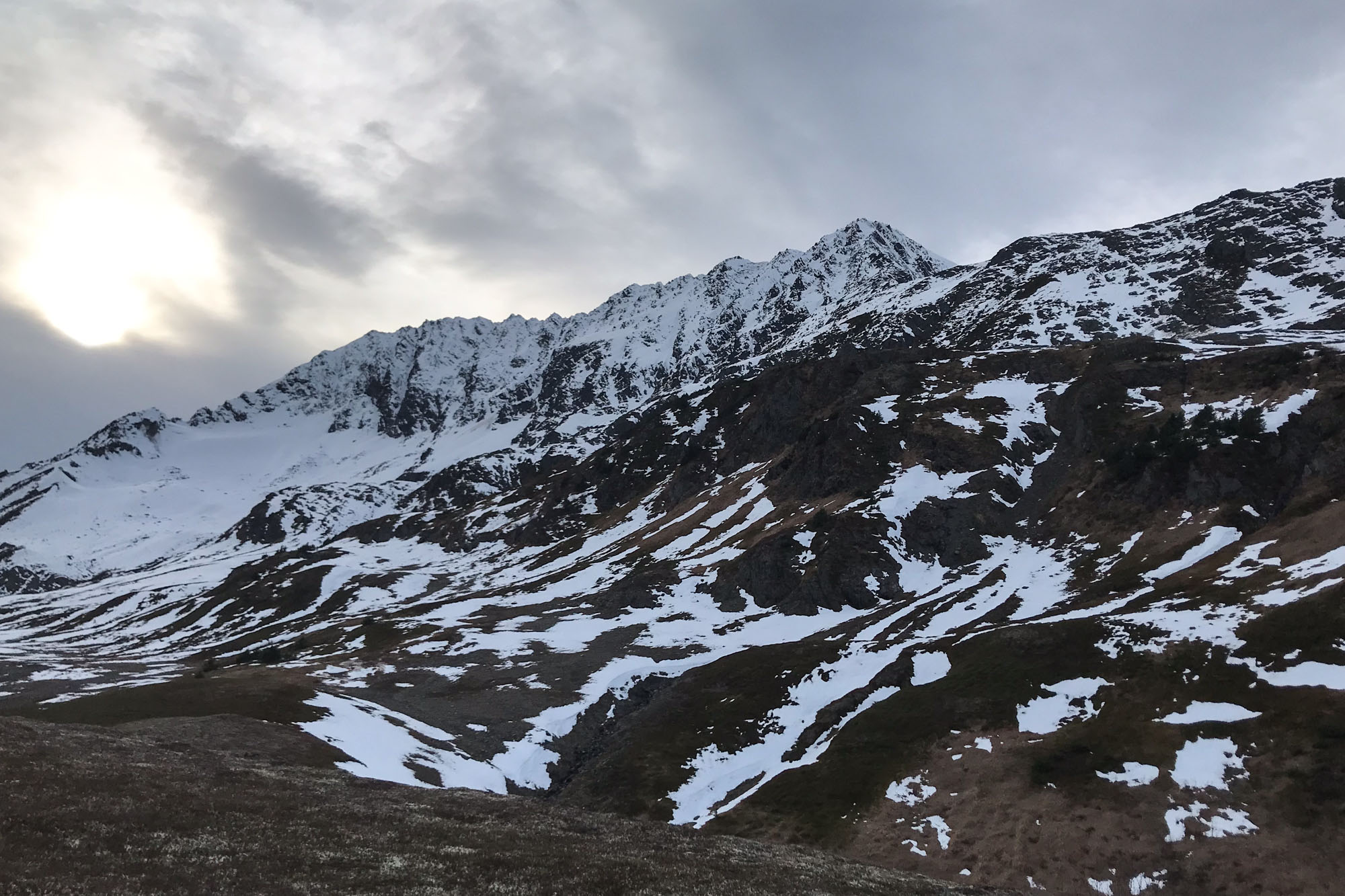
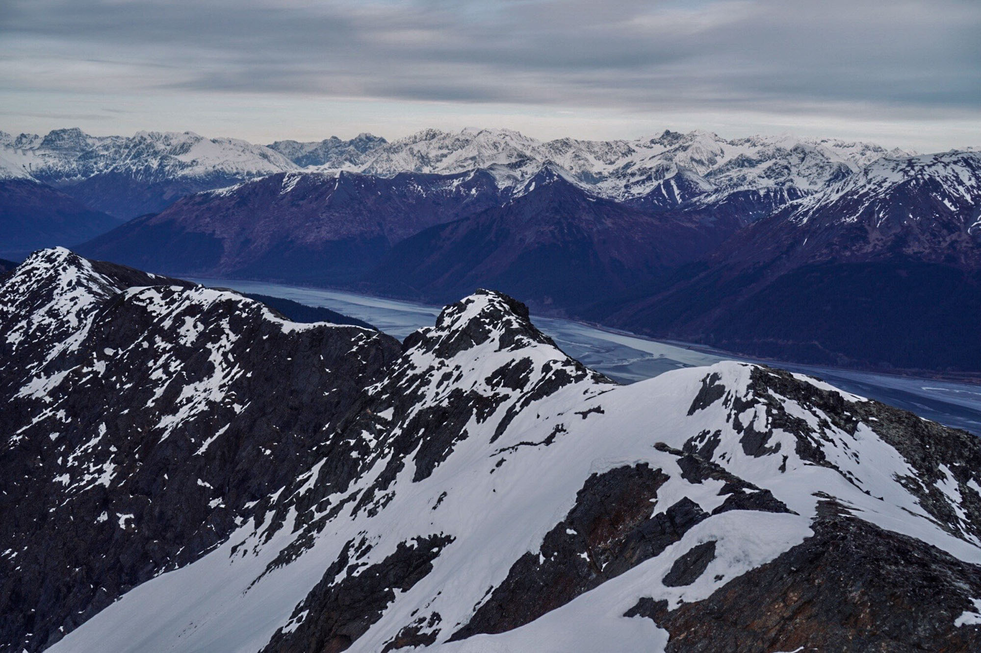
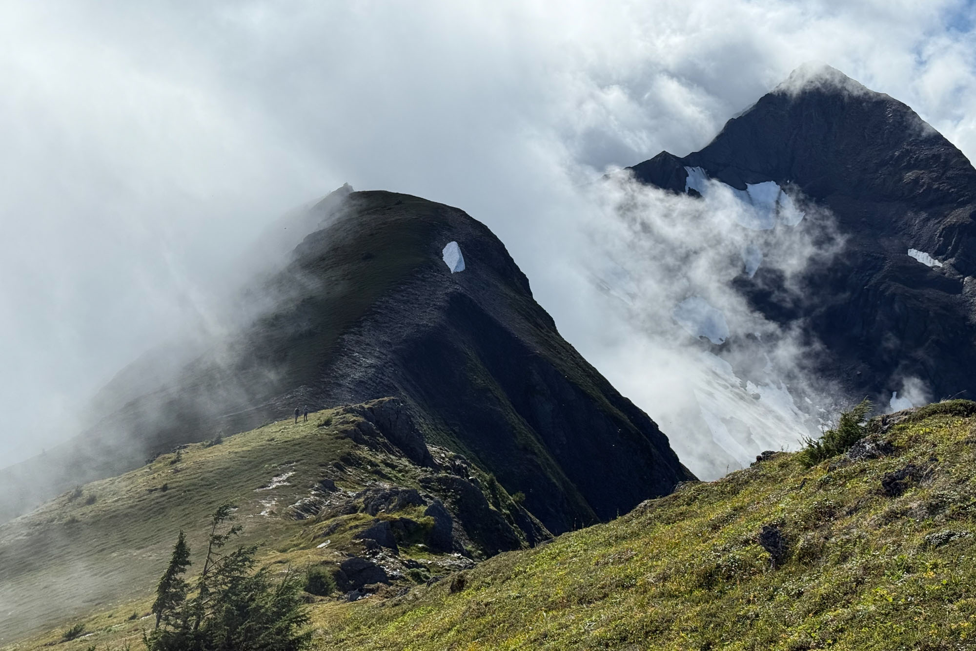
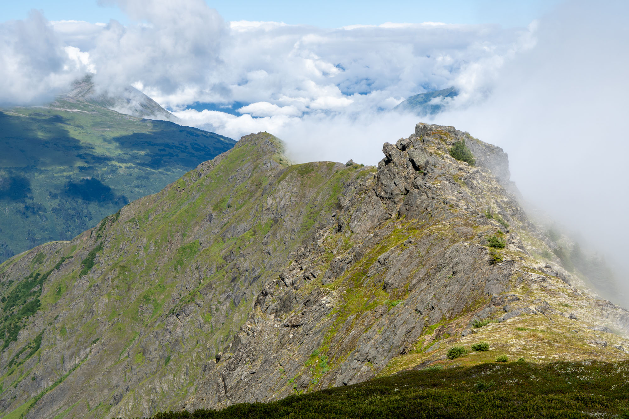
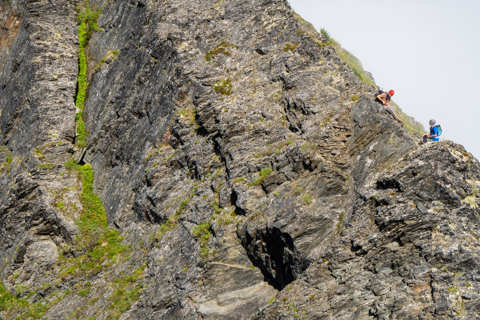
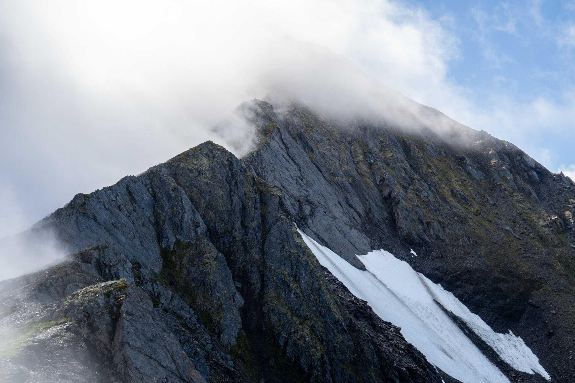
We scrambled up the 500-foot block from the lower ridge to the top of the north summit (Wolverine) in about 25 minutes. It looked steep and intimidating from below, but there was a moderate route up with only a couple of Class 3 sections. Finn cruised this section and was on the top before me!
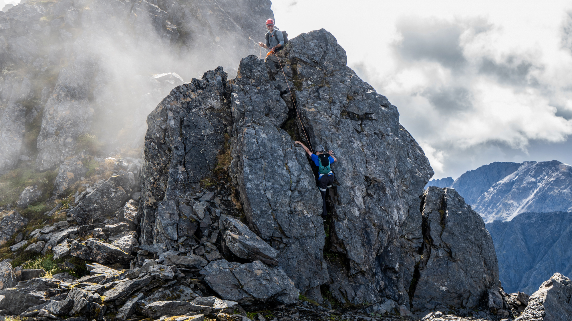
Finn on the ridge. When you have a rope you use it – even if there is a walk around!
After a short lunch break, we looked south toward the true summit. From our vantage point, the actual peak sat a full mile away, though it rose only about 100 feet higher. We studied the next section for a moment, then set off.
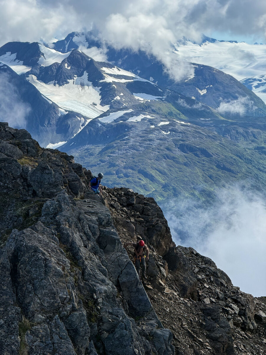
This stretch was incredibly fun. A mix of airy traverses, grassy sidewalks, and exposed buttresses kept the route engaging but never difficult. Navigating the entire ridge took a full hour, including a few stops for some Finn top-roping. Because the day was perfect and we had plenty of daylight left, we never felt rushed and simply enjoyed the pace.
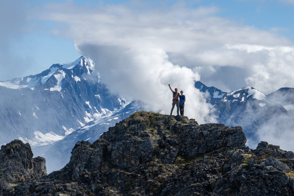
Finally, after exactly five hours of climbing, we reached the summit! We sat for a while, staring at the distant mountains. Eric made sure to teach Finn proper summit etiquette: point to a distant peak and say, “We should climb that one!”
Leaving the peak, we carefully reversed our way along the summit ridge. It took another hour to traverse from the south to the north summit, and 20 minutes to descend the summit block to the lower ridge.
We still faced a five-mile walk back to the car. To keep things interesting, we decided to cut through the meadows to get some bushwhacking in – we couldn’t make it too easy on ourselves.
We made it back to the car with a total trip time of 9 hours and 45 minutes. Eric and I were tired and satiated. Finn, however, was disappointed we couldn’t call it a 10-hour day. We’re getting old. Good thing we’ll soon have a rope gun.
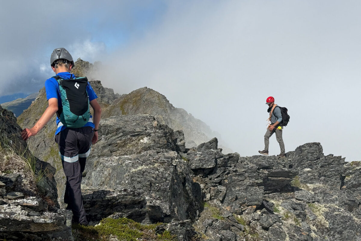
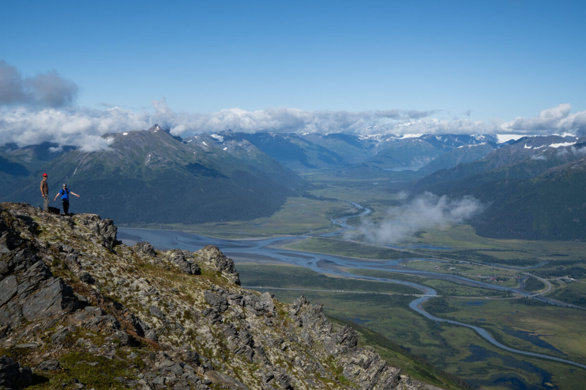
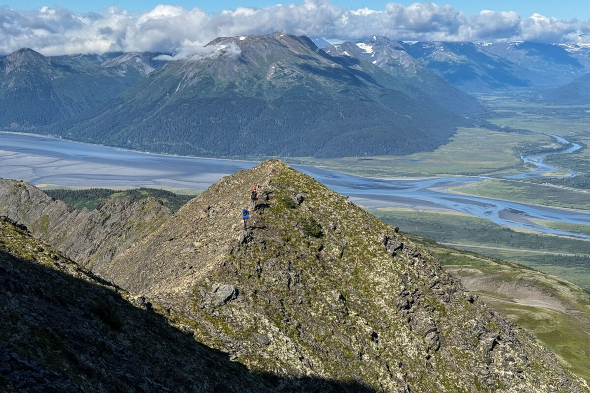
All said and done, this was a wonderful route and one that will inevitably start seeing a lot of traffic now that the trail is in place. Of all the ridges I’ve hiked along Turnagain Arm this one has by far the best views. It also has something for everyone with everything from easy hiking on broad tundra ridges to exposed class 3 scrambling. If you’re looking for a new vantage point along Turngain Arm give it a go.
Flying Cornice – North Ridge (Class 3)
Approach: Park at the Ingram Creek lot at the bottom of Turnagain Pass and walk down the bike path until you see the INHT trail emerging from the woods near the powerlines. Walk up this trail for 2 miles until you reach the point where the trail passes just below the North Ridge (this is just past the first major creek crossing). Pick your way uphill here. You can find a line that completely bypasses all alder and devils club.
Route: This route climbs the entire North Ridge. From the base of the ridge to the summit it is exactly 5 miles. Hike through steep woods to treeline then keep following the ridge. Eventually you’ll reach the base of the summit pyramid which can be ascended via class 3 steps. This puts you on top of the north summit and from there it is another mile of scrambling with some class 3 sections. The true summit is the bump at the far end of the ridge and is obvious once you’re there.
Descent: Retrace your route.
Gear: Basic hiking stuff and helmet. Ice axe/crampons will be necessary through mid-June.
Time: Total distance/elevation is 14 miles / 5400’. It took us a leisurely 9 hours 45 minutes hours round trip. The views are amazing so there is no need to rush.
Season: Late June – early September.