“You get up at 4, climb till noon and then you eat pasta.
That’s why it’s called the Spaghetti Tour.”
– Marco Zaffiri UIAGM/IFMGA
The Spaghetti tour is a famous multi-day mountaineering traverse around (and on) the Monte-Rosa massif in the Italian / Swiss Alps. It can be anywhere from 1 to 10 days depending on conditions, route choice, speed and a hundred other variables. I had heard of this traverse for years but had never had the chance to visit the area – however while planning our Monte Rosa trek I figured I was already there, so I tossed the idea out to my nephew Jon who he confirmed he was game in about 10 minutes and the planning began! That said – the logistics for our trek were wearing on me and I had no idea even where to begin for this trip, thus I did what most European climbers do and decided to hire a guide.
I emailed Joe Stock asking if he was free, but he told me I should hire an Italian guide for climbing in Italy and gave me the number of an guide that he recommended – Marco Zaffiri. I reached out and within a couple days Marco confirmed he was free for a 5 day trip and penciled us in. And – boom – just like that, planning was done. Easy peasy.
Final GPX of our routes (includes tracks from both Spaghetti and Monte Rosa tours).
Flash forward 8 months. I had corresponded with Marco a little and sent him a down payment for huts and had done a short video meeting to go over gear and basic itinerary, but I really had no idea what to expect. Gear was pretty basic: poles, axe, crampons, crevasse stuff, shell and puffy – so I knew it would be straightforward climbing – but like I said, I had no idea. This was a novelty to me – usually my planning is pretty meticulous and I spend hours on various map tools sketching out routes, side quests and bailouts. For this trip all I had was a basic route I had copied off Gaia public tracks and didn’t even know if is where we would go or not. To top it off the weather leading up to the trip had been extremely warm and local guides were sounding the alarm on conditions in the alpine. That said – I didn’t really even have to think about any of this. I just had to show up.
The plans were set and tickets were bought. I would already be in Switzerland when our trip was scheduled to start and Jon elected to fly in a couple days early. He met us at Teodulo Hut for our last night and joined for our descent the next day – then he spent a night at Hörnlihütte to acclimate while I descended to Zermatt to do laundry and repack. He joined me later that day and we did a final gear check, set the alarm for 5 then turned in early.
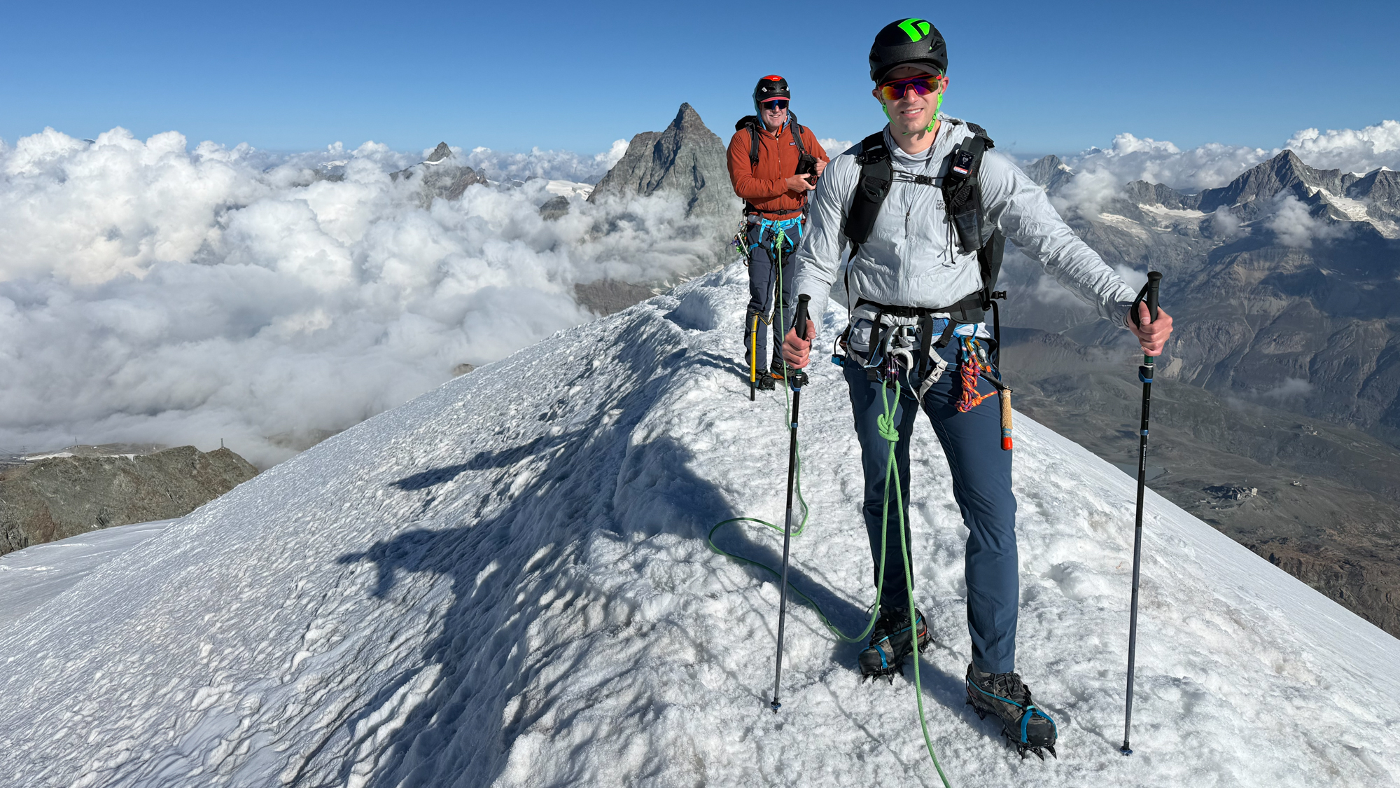
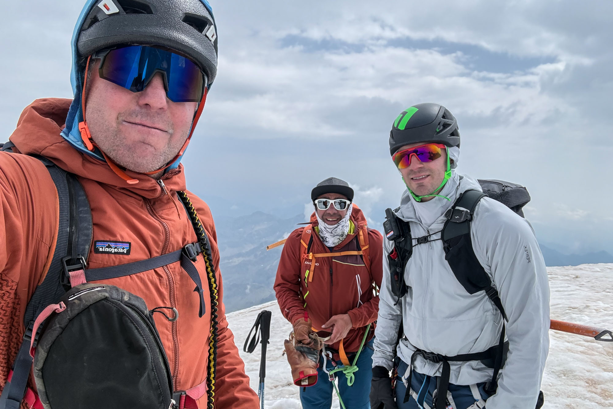
Jon & I on top of Breithorn Occidentale (13,661 ft). Photo by Marco Zaffiri.
Day 1: Matterhorn Glacier Paradise to Rifugio Guide della Val d’Ayas
We met Marco at the train station at 5:30 and headed off to the tram. Tickets were purchased and then a 30 minute 7,000 ft tram ride up to Matterhorn Glacier Paradise where we unloaded, strapped on crampons and stepped directly onto the glacier. Zero approach.
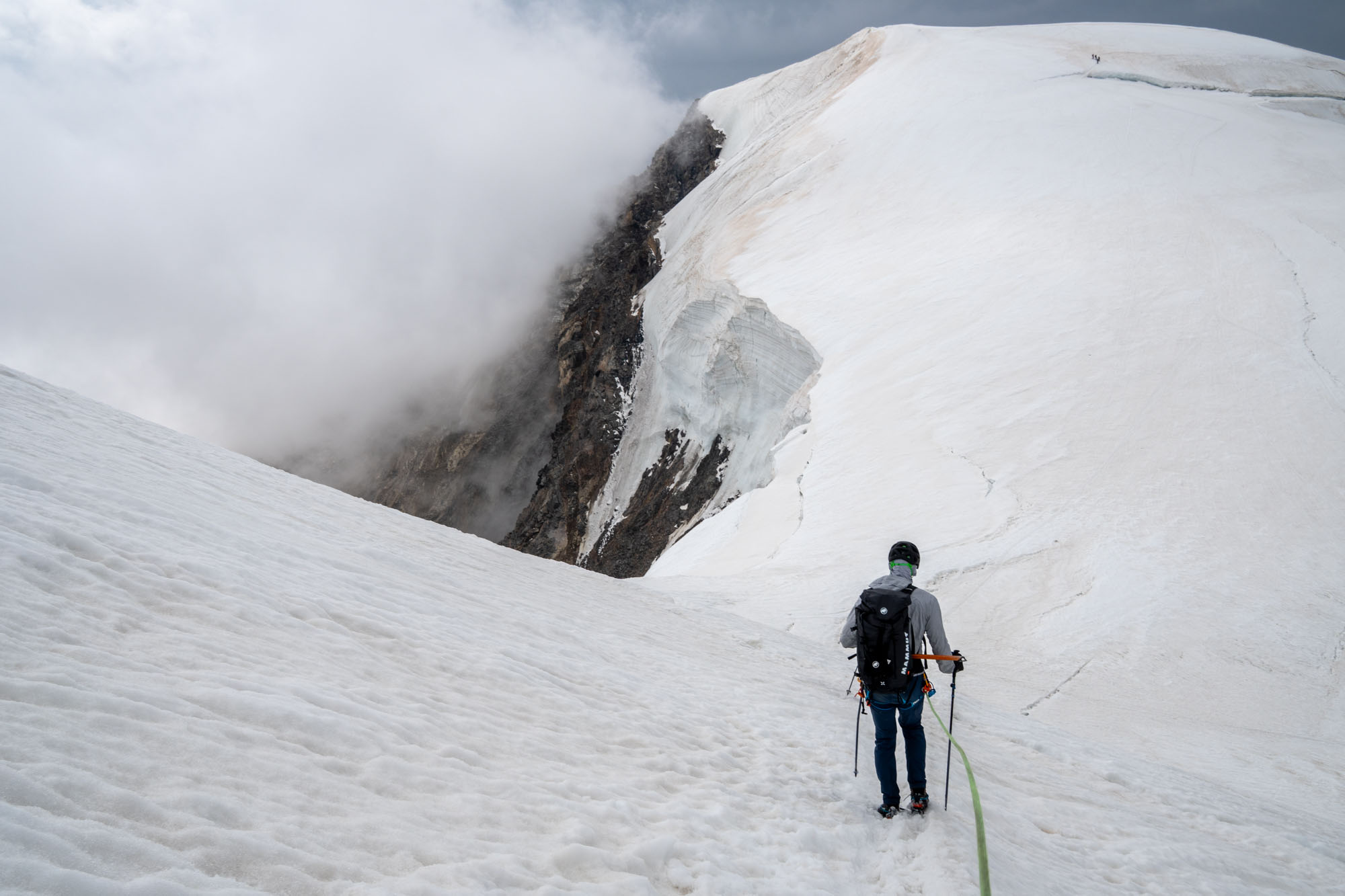
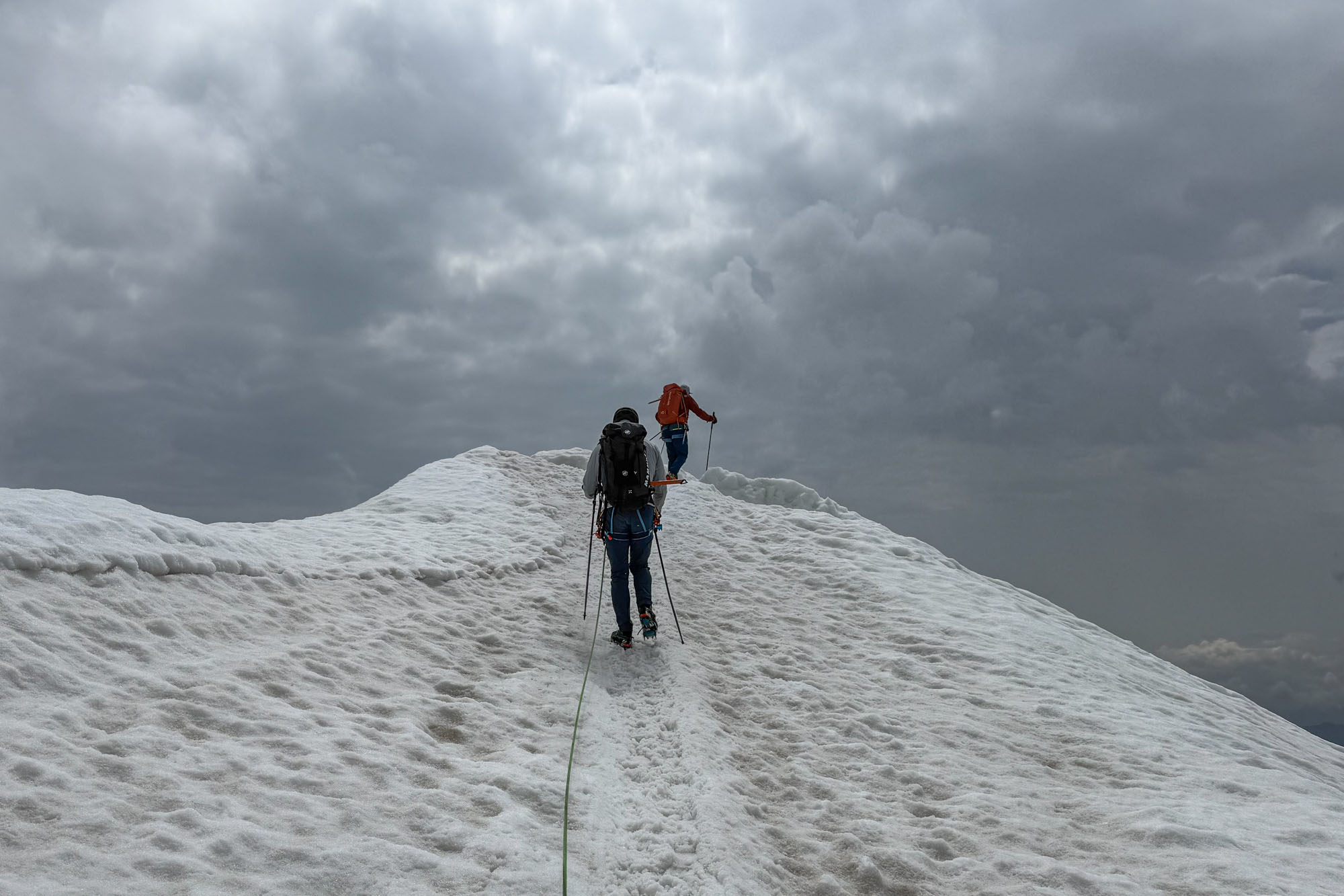
An hour of cramponing up mellow but firm snow slopes and we were on the summit of Breithorn Occidentale (Western Breithorn) at 13,661 ft. Our first peak on a beautiful day, but way too warm. It was 9am and easily 40 degrees on the summit and Marco was worried about the crevasse bridges on the way to our hut so we took a quick round of photos and then started our descent.
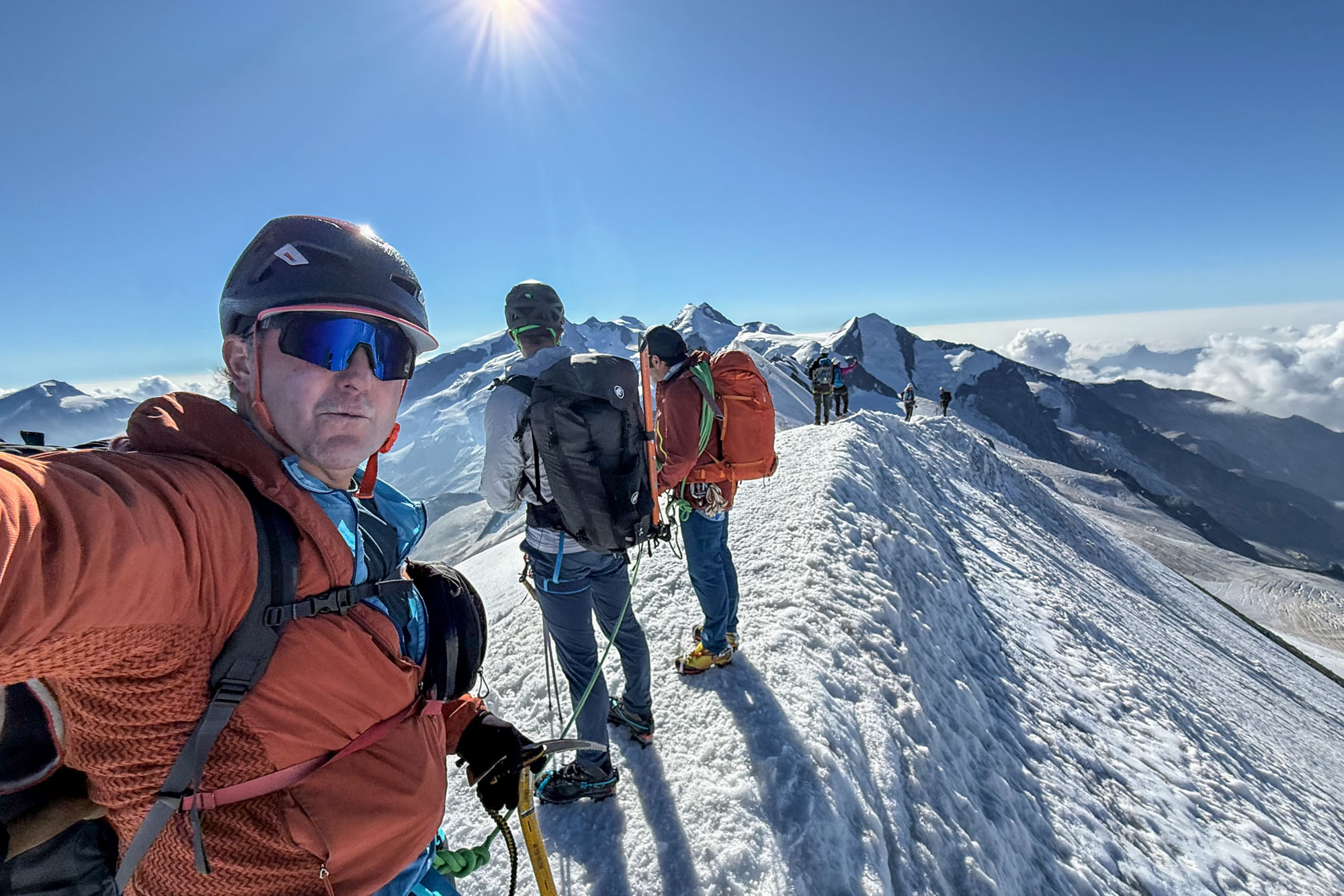
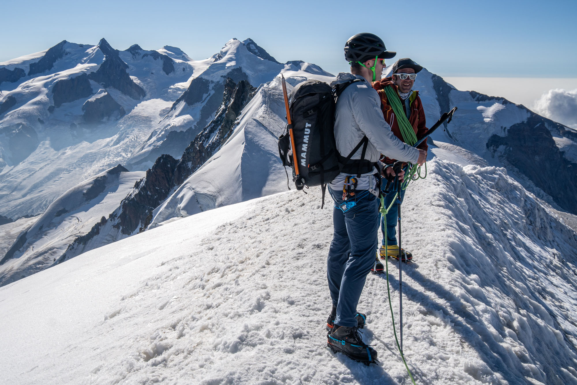
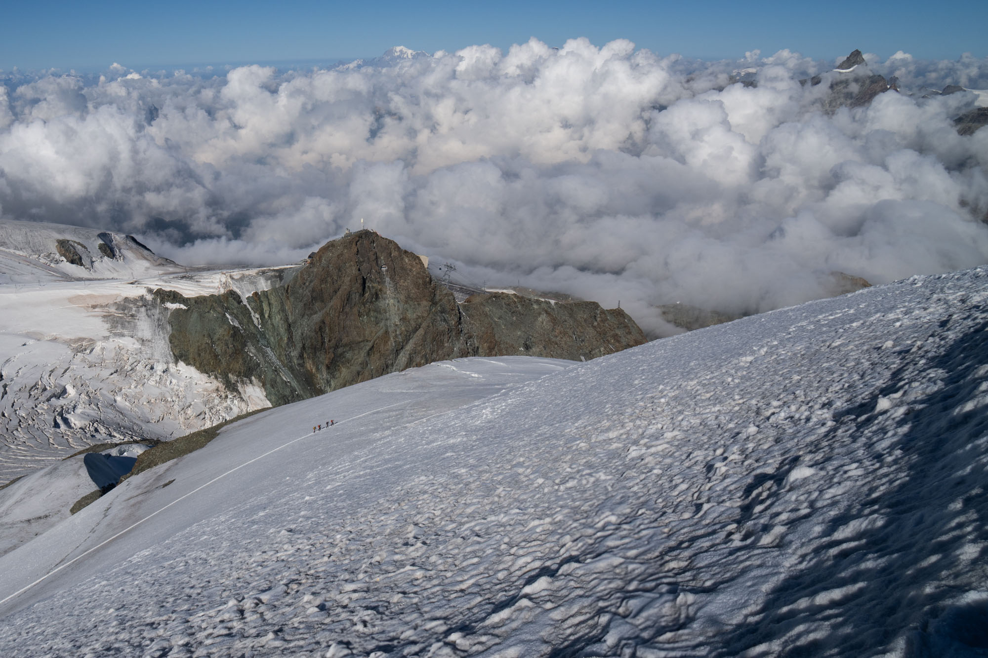
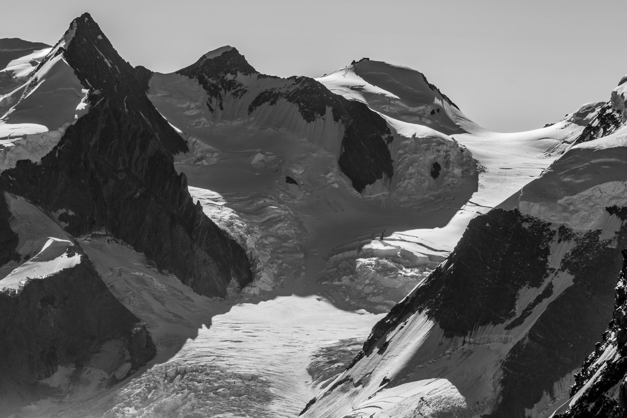
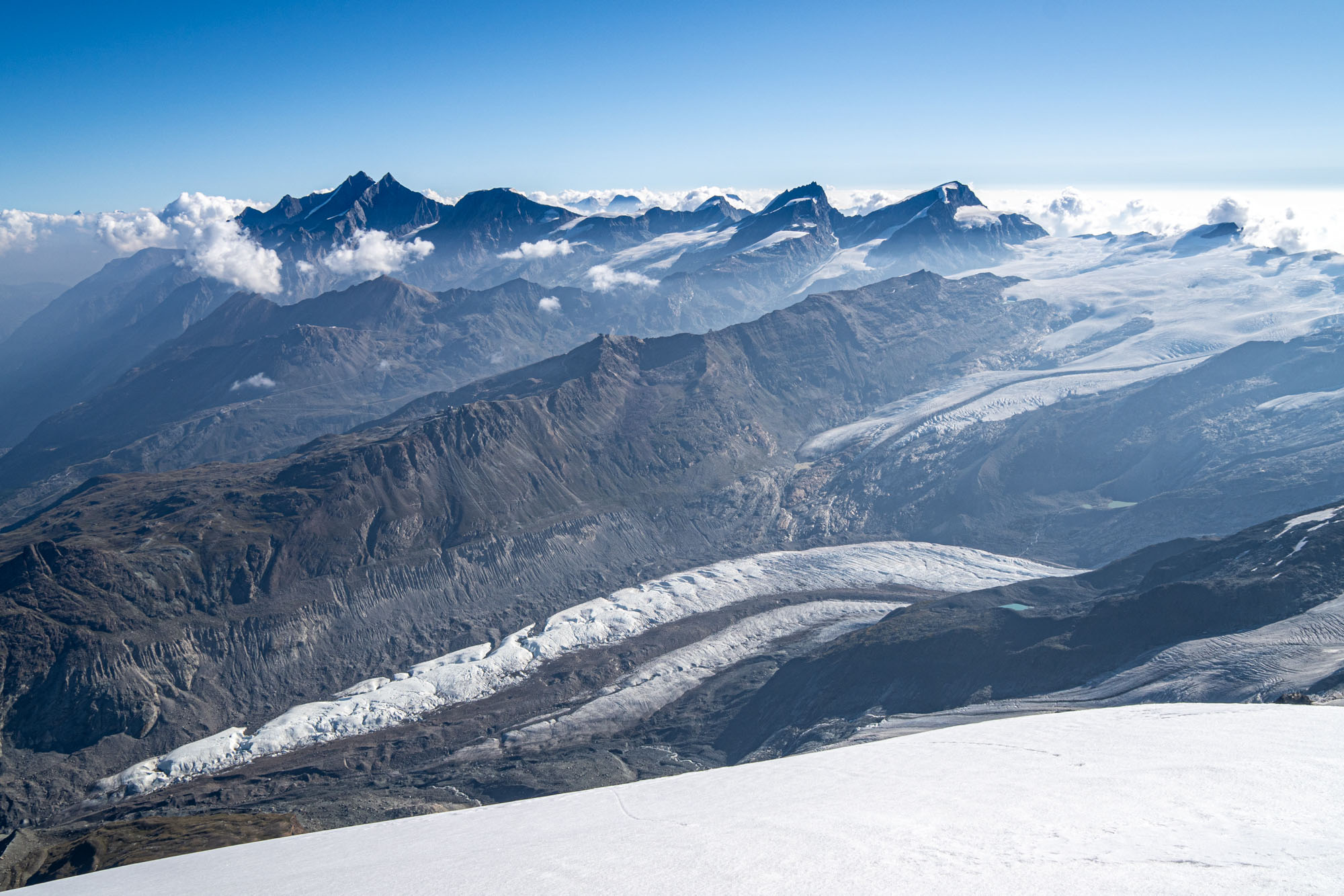
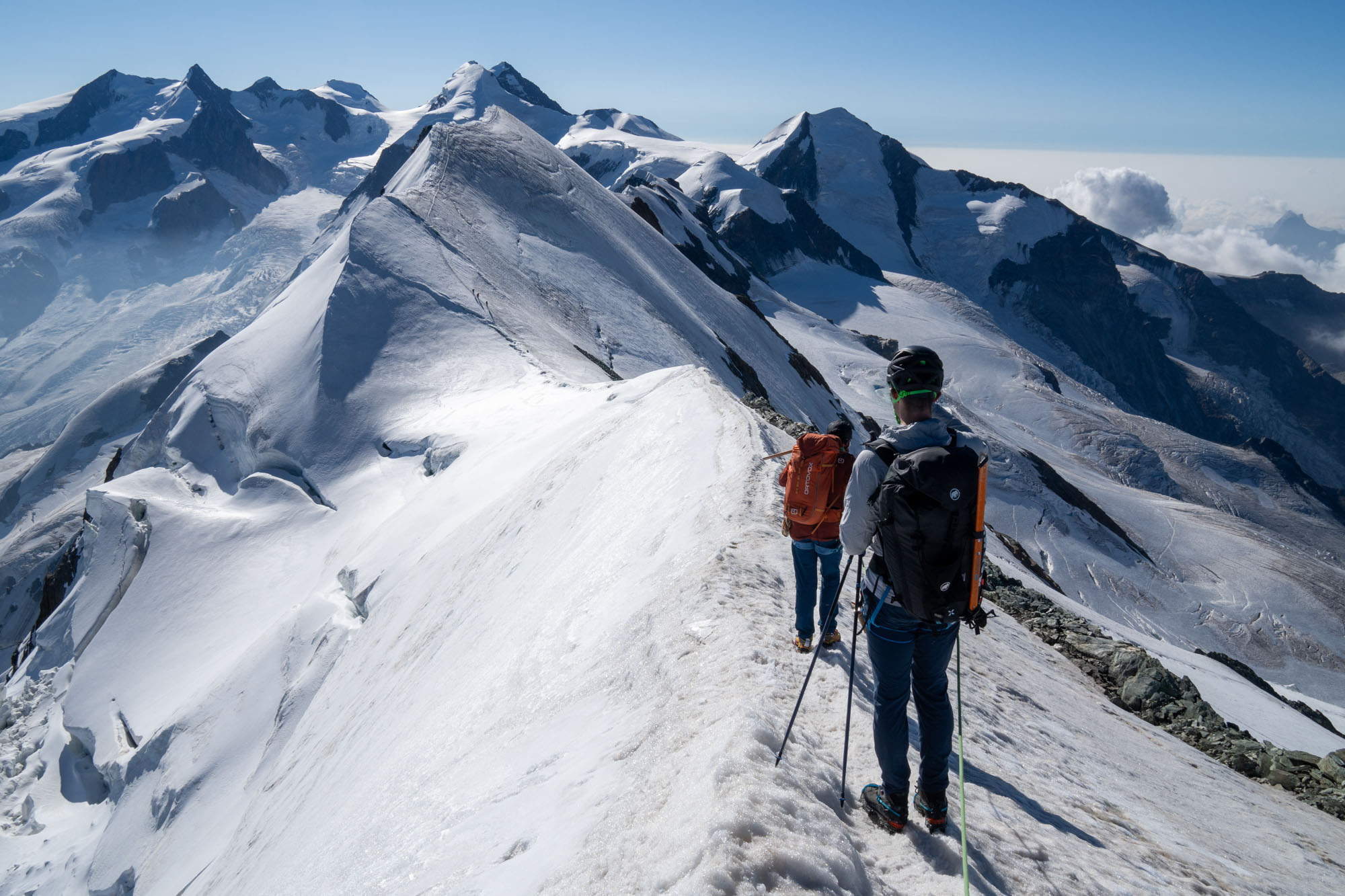
Getting off of Breithorn was simple crampon work down to the lower glacier and then a 2 mile traverse across the Breithorn col to a tight corner beneath the rock strewn south-west ridge of Pollux. Next we worked our way underneath an ice fall and across a well crevassed glacier before finally reaching the narrow ribbon of rock where the Ayas Rifugio is perched at 11,200 ft.
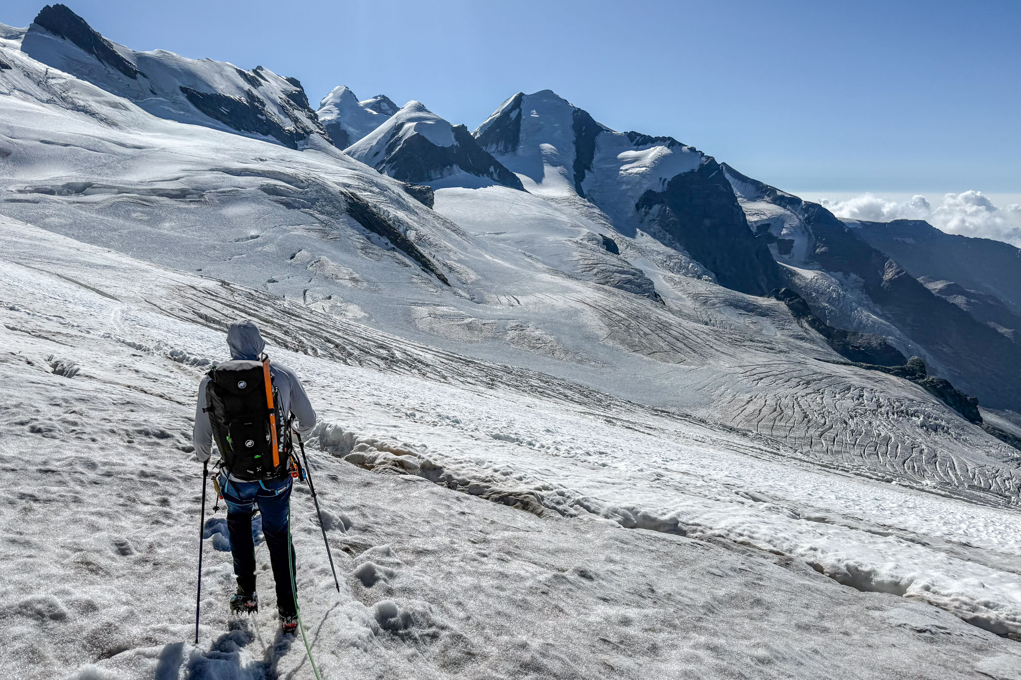
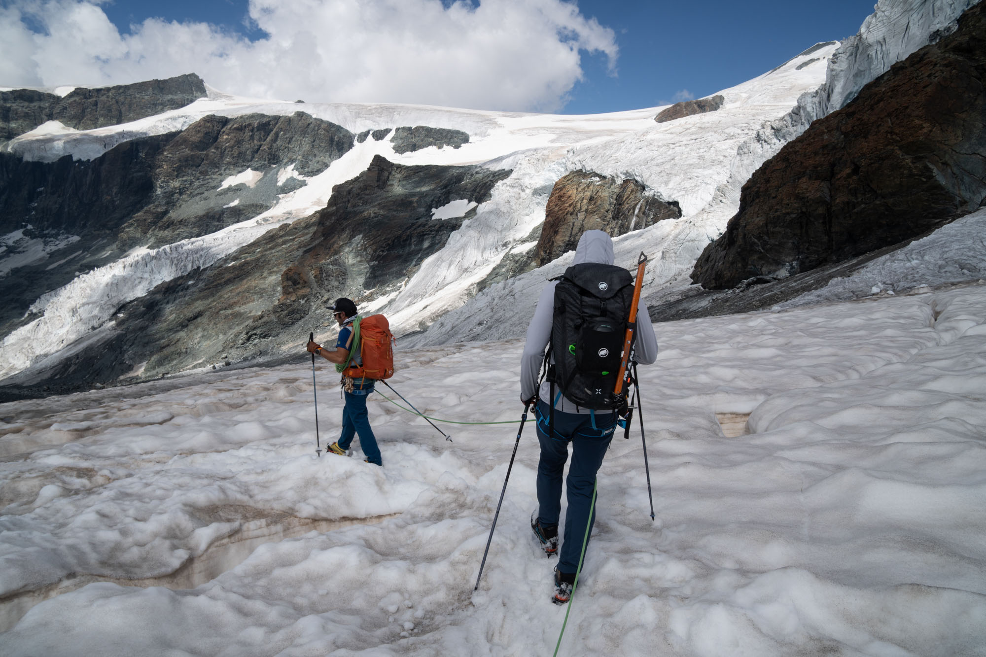
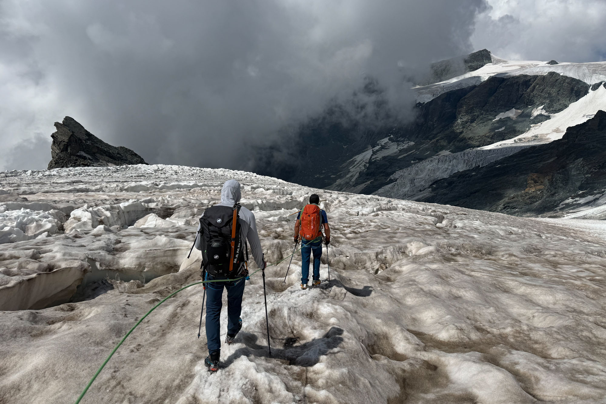
We reached the hut at noon. A short day – 4 hours / 6 miles / 1,600 ft – and I will admit to being disappointed. It was noon and we were literally stuck on a rock island. But the weather wasn’t having it. By 1pm the temp climbed into the near 60s and the glaciers were melting and calving in force. Elsewhere in the range warnings had been issued for the high temps and dangers of climbing – and there had been several recent reports of bad crevasse falls in the region. So while climbing only 4 hours in a day was a drag, at least we were climbing.
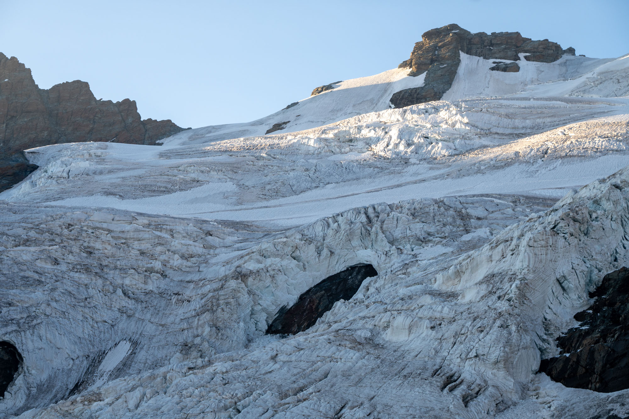
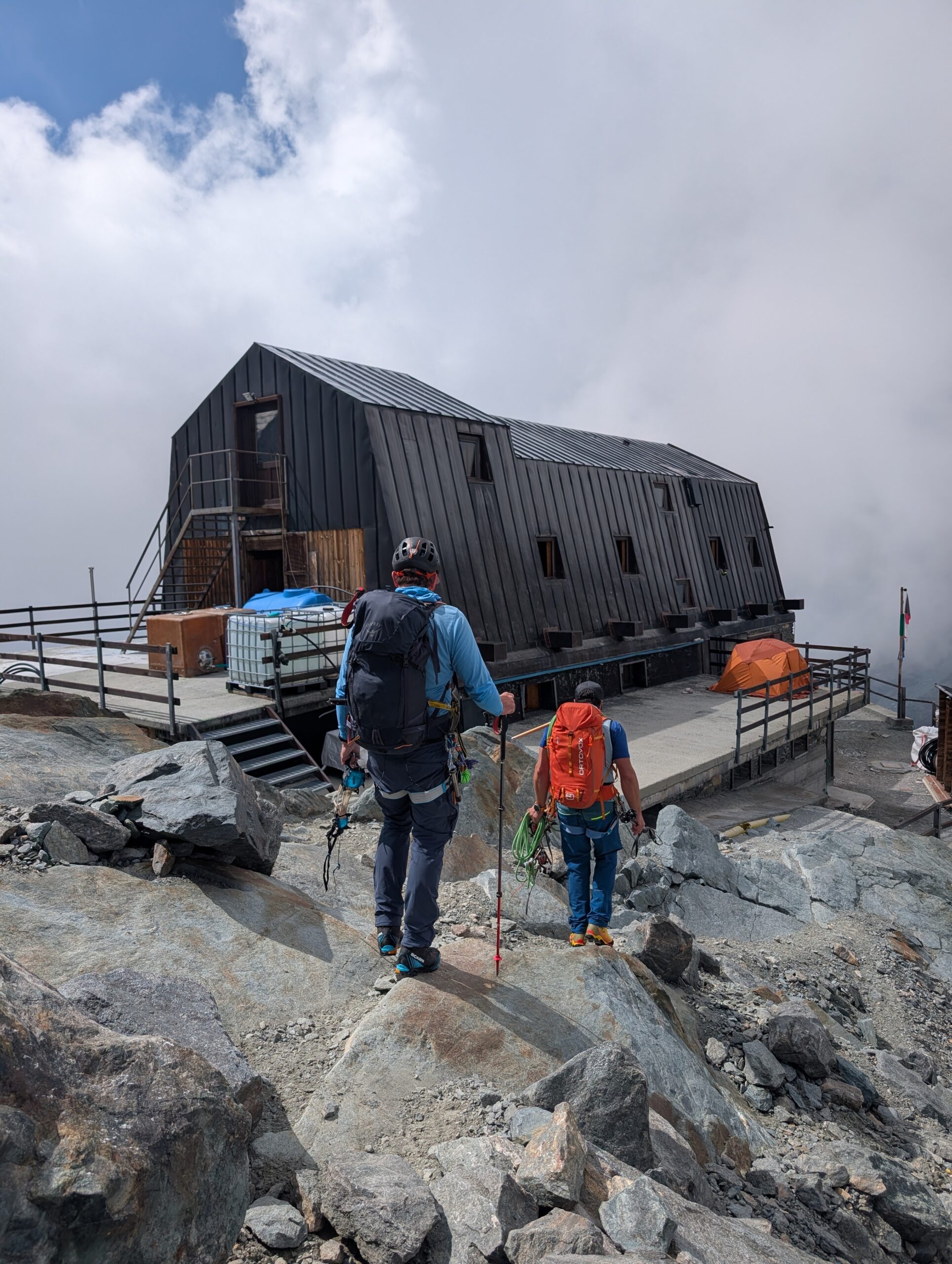
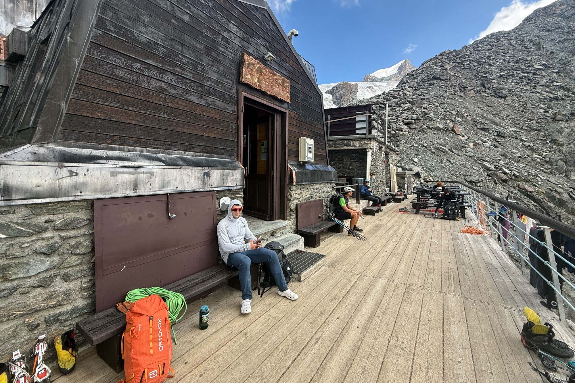
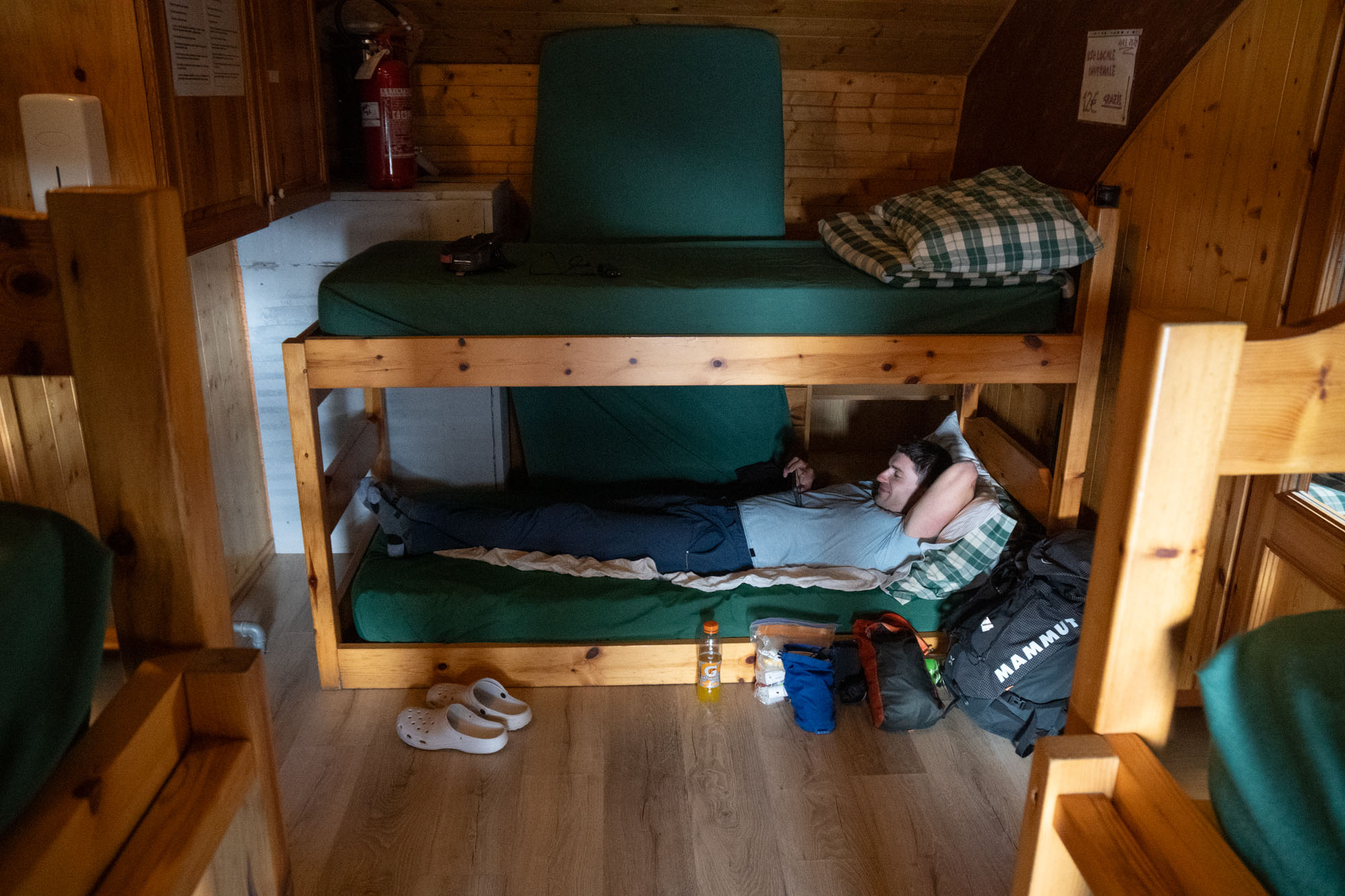
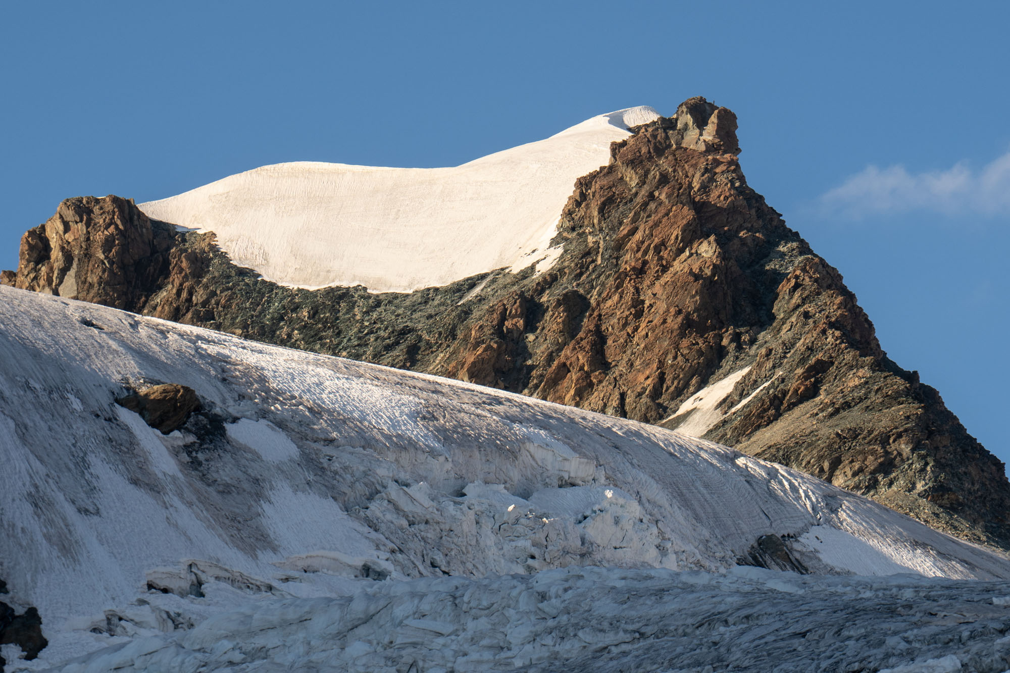
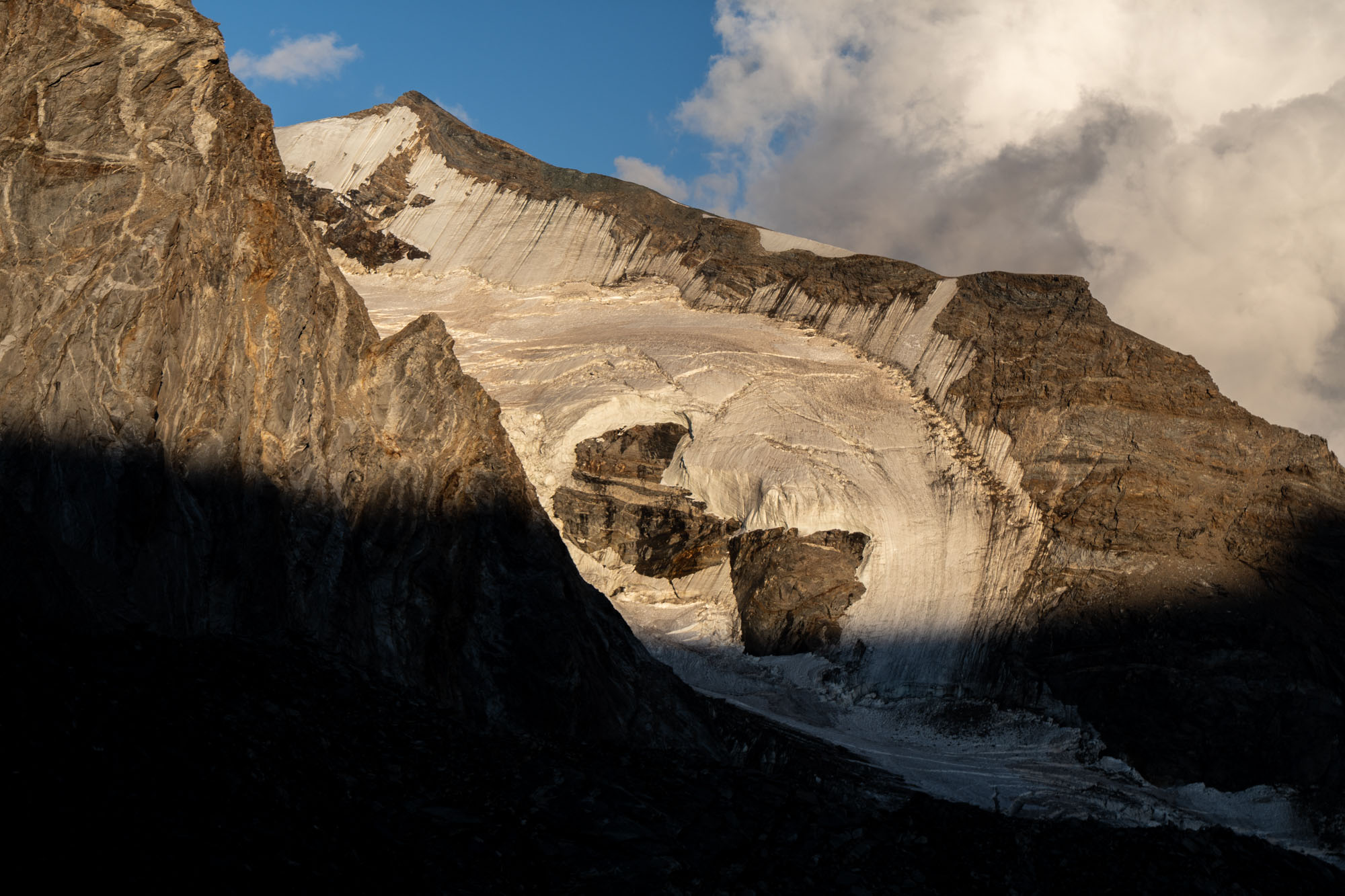
Whining aside it was a beautiful hut in spectacular setting. We pulled our boots and had cappuccino, pie and beer (in that order) and settled in for the afternoon. I had a dense book and Jon had 8 seasons of Game of Thrones and we were entertained. Dinner (pasta!) was served at 6 and I was tucked beside a hilarious outspoken Italian guide who told me he knew Federica Brignone and ranted about the food in Swiss huts. “It’s shit,” he shouted. “All they serve is rösti. Rösti is shit.”
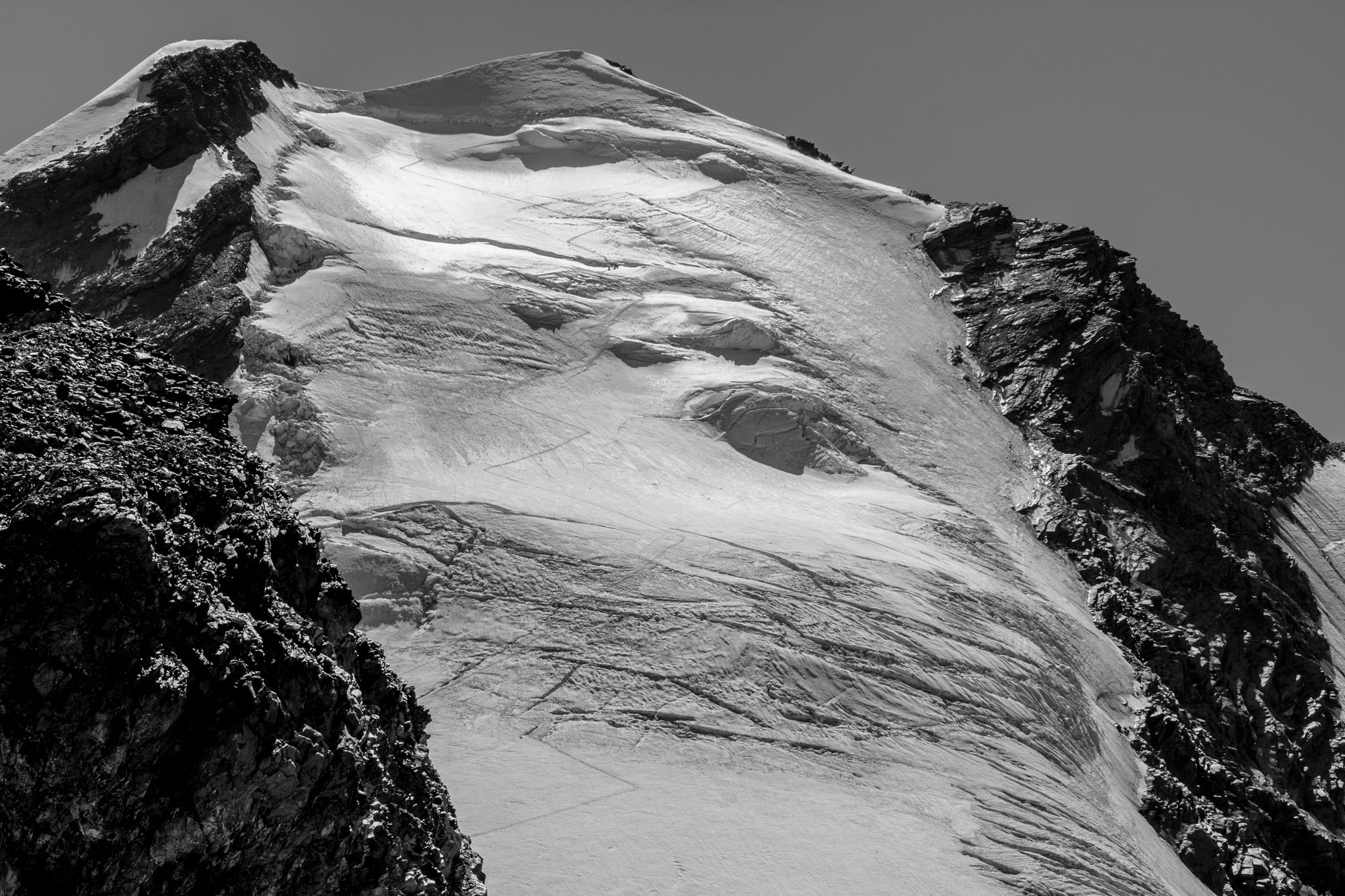
The West Face of Castor (13,862 ft) – July 2026. Marco, who has been guiding in this region since 2001, told us he had never seen conditions this bad.
Day 2: Castor Traverse to Rifugio Quintino Sella
Marco had promised that Day 2 would be more exciting – but it was still very warm and we needed to get going early. We were up at 3:30 and breakfast was served at 4. By 4:30 we were on the porch strapping on crampons in the dark. We set off shortly afterward.
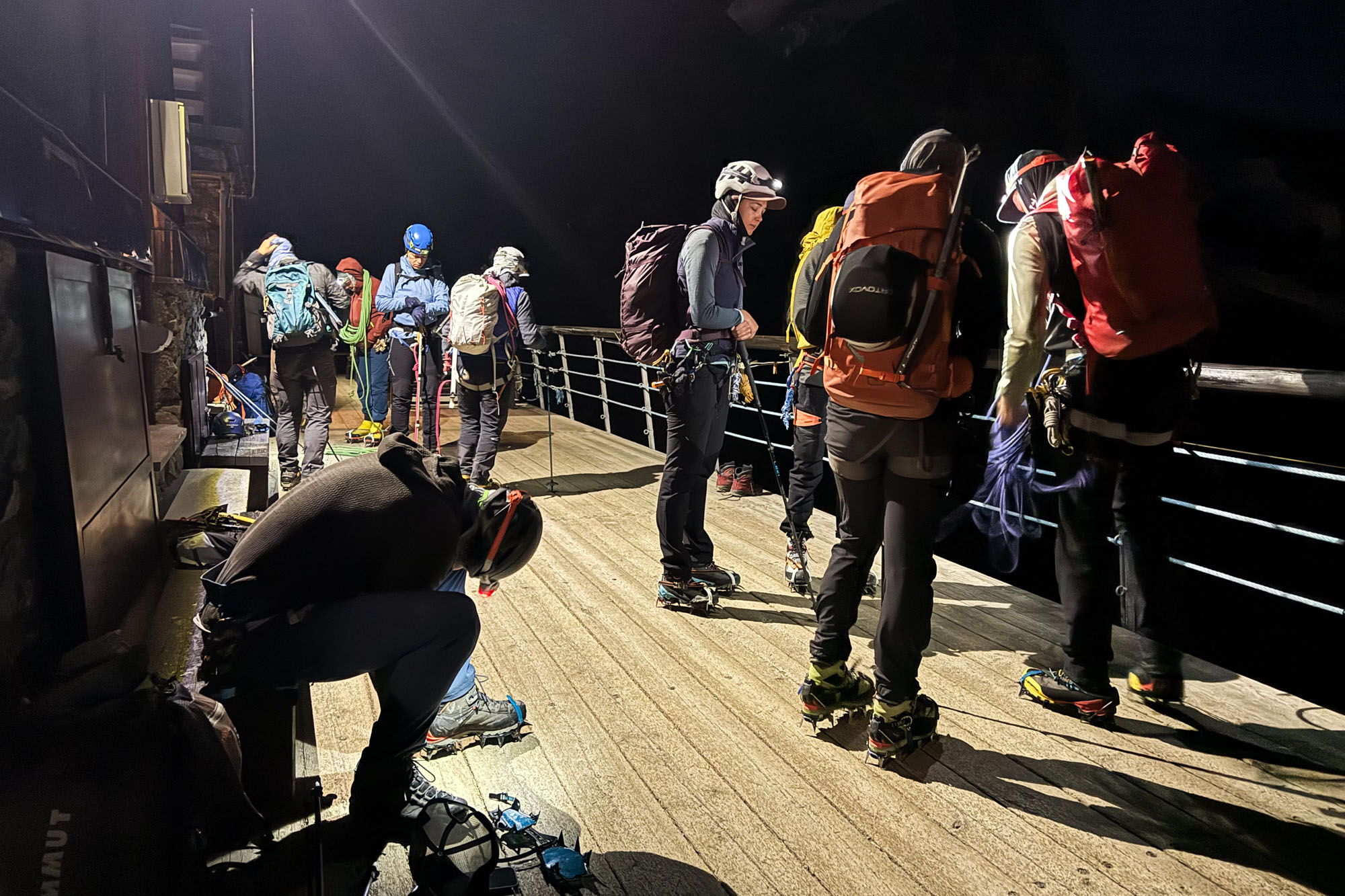
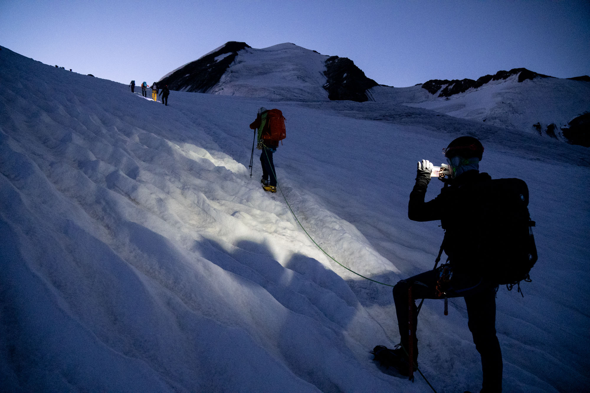
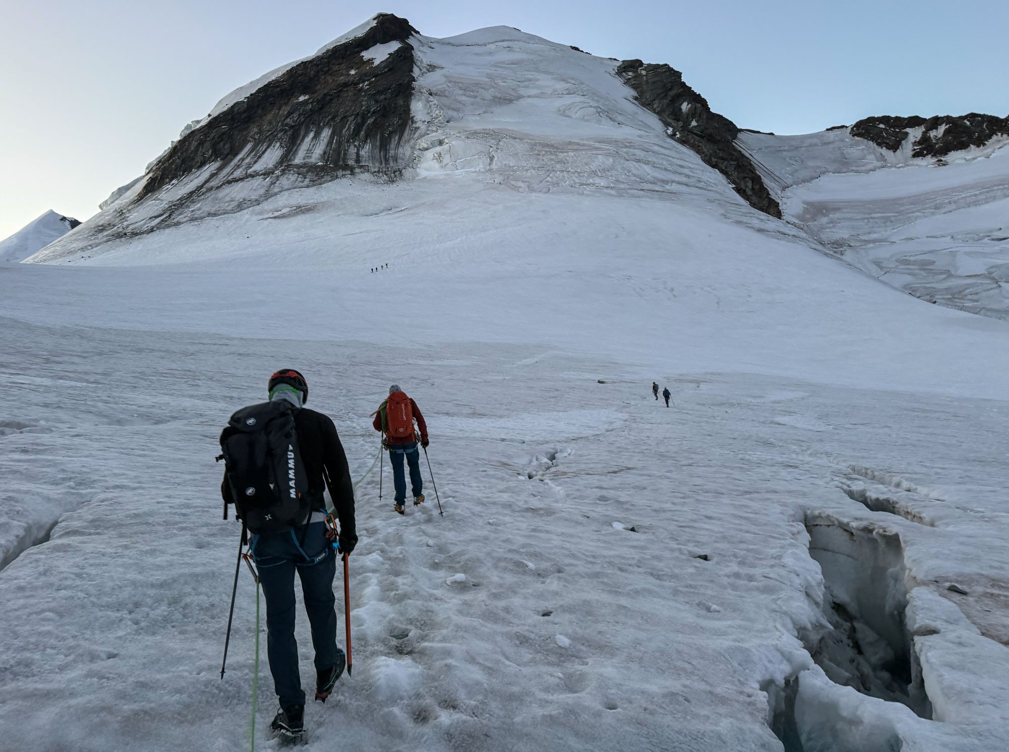
Back up the glacier we had descended the day before aiming for the Pollux / Castor junction. We wove around crevasses with delicate balance moves, hops and an occasional leap – but a good freeze had made the snow crisp and the crampons were biting perfectly. At the base of Pollux we turned east and crossed a basin and were soon at the base of Castor.
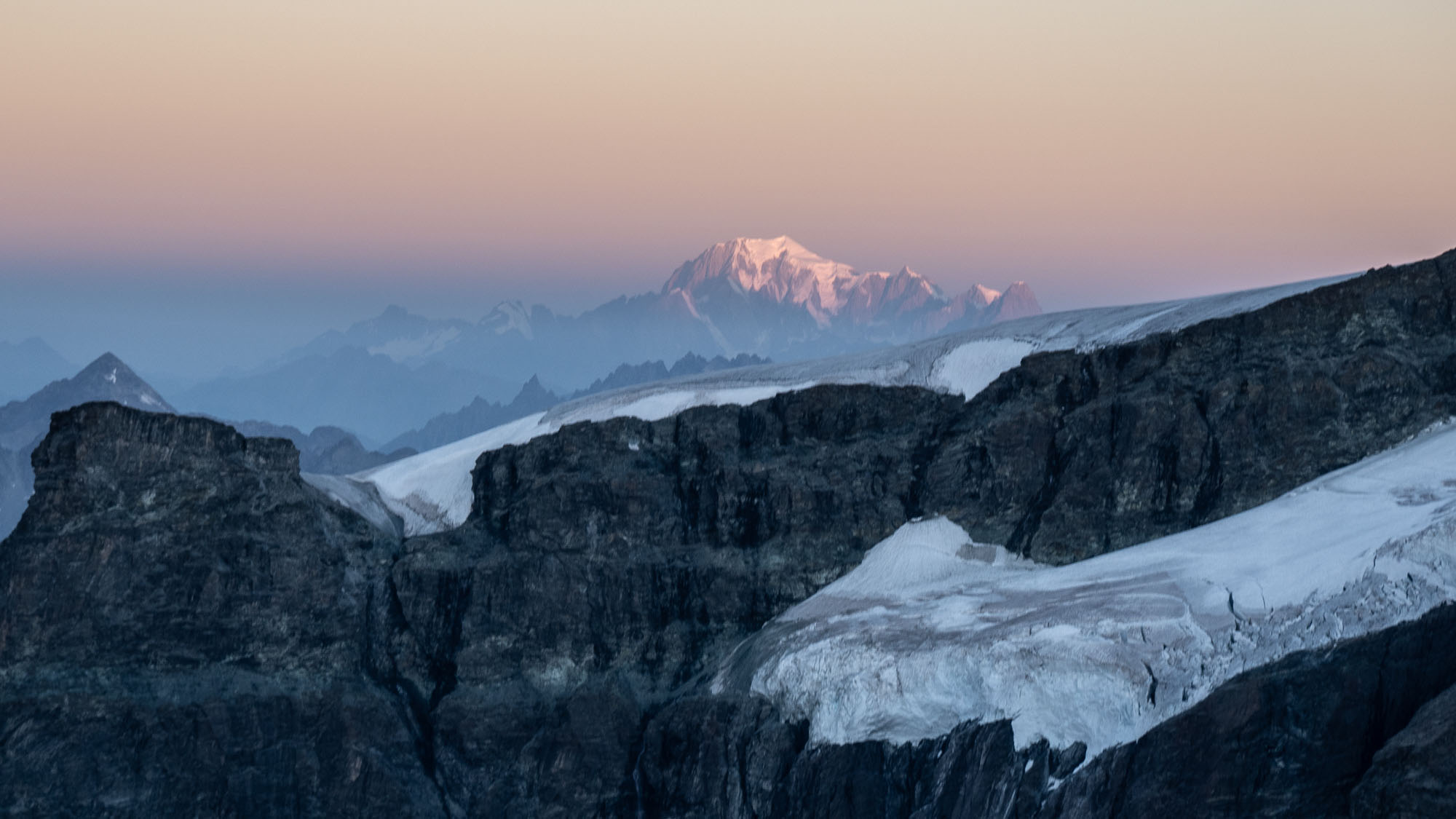
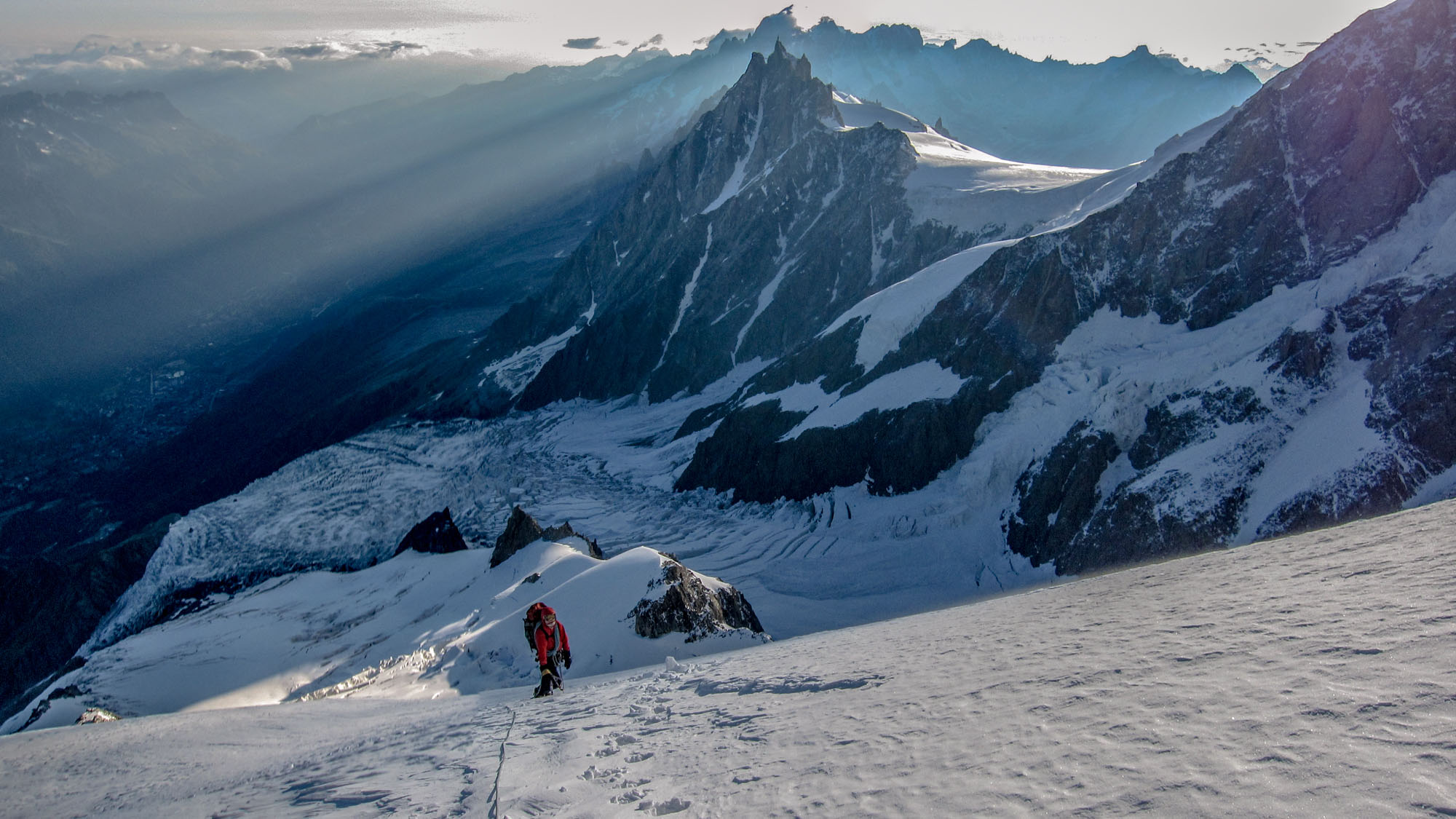
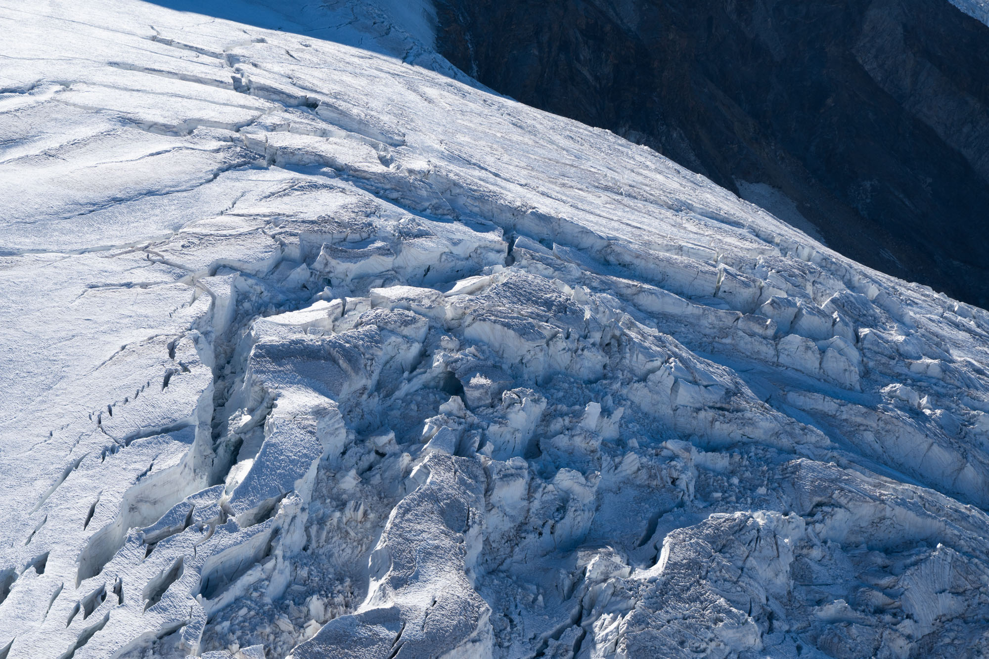
The West Face of Castor was an icy maze of crevasses. The base was bare ice, followed by a short section of snow, then more ice with a couple of very large crevasses – all topped by an open bergschrund near the summit. Marco said he had never seen conditions so bad.
We started climbing full full concentration on careful footwork and solid axe placements. Up the the lower ice ramps to some snow and then working our way to a large crevasse that spanned the face. The crevasse required creative techniques to get across and it was followed by a long upwards traverse to the bergschrund.
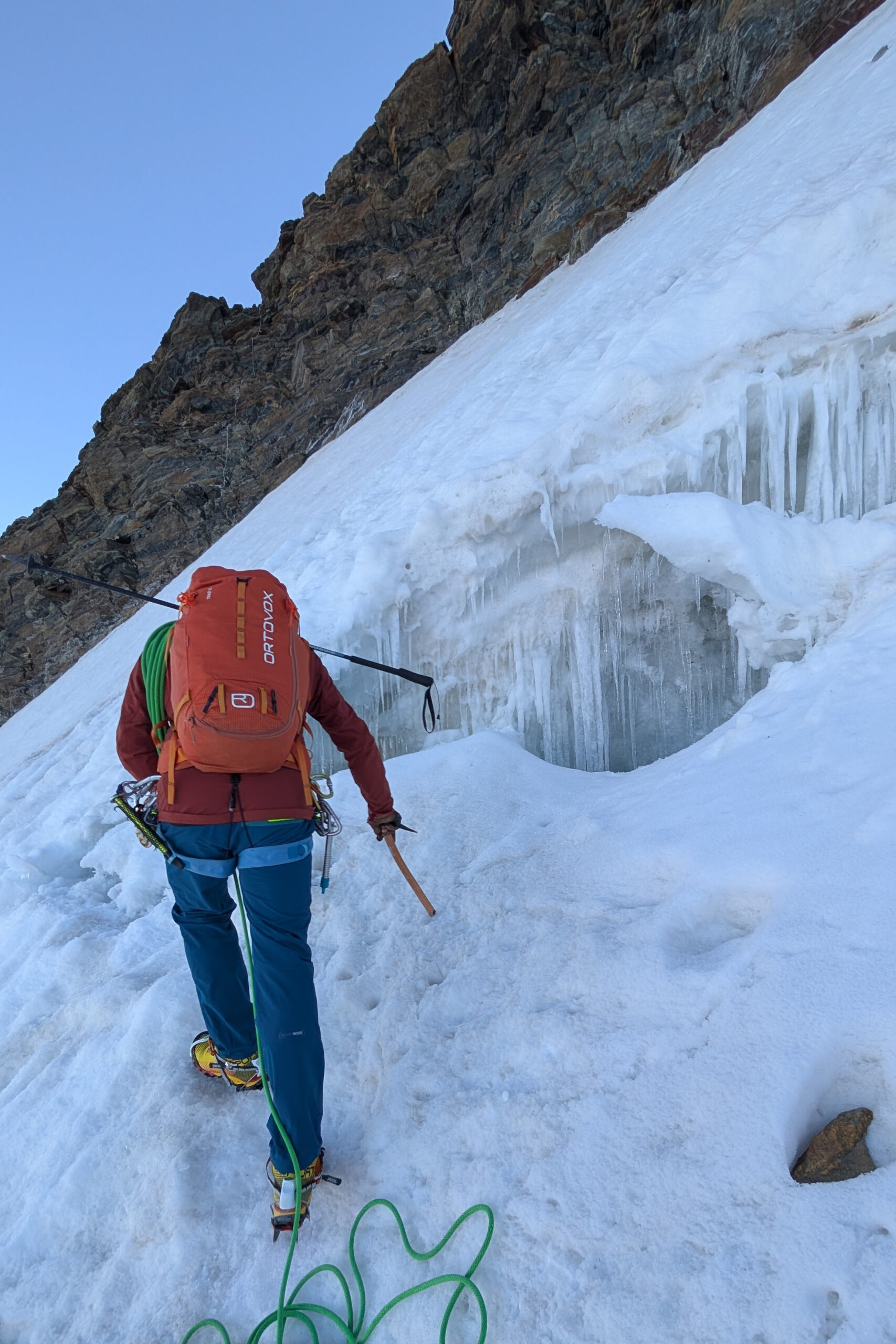
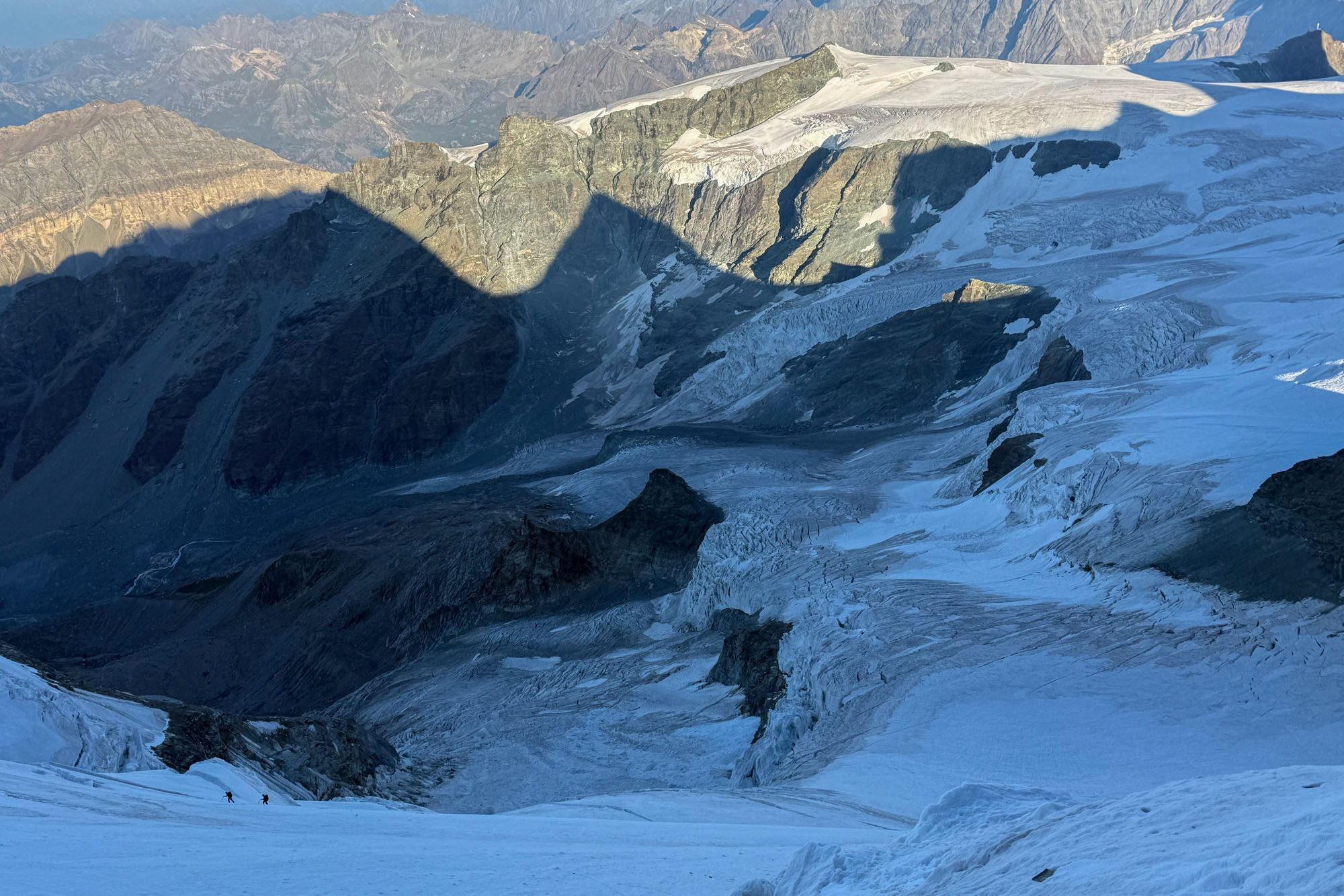
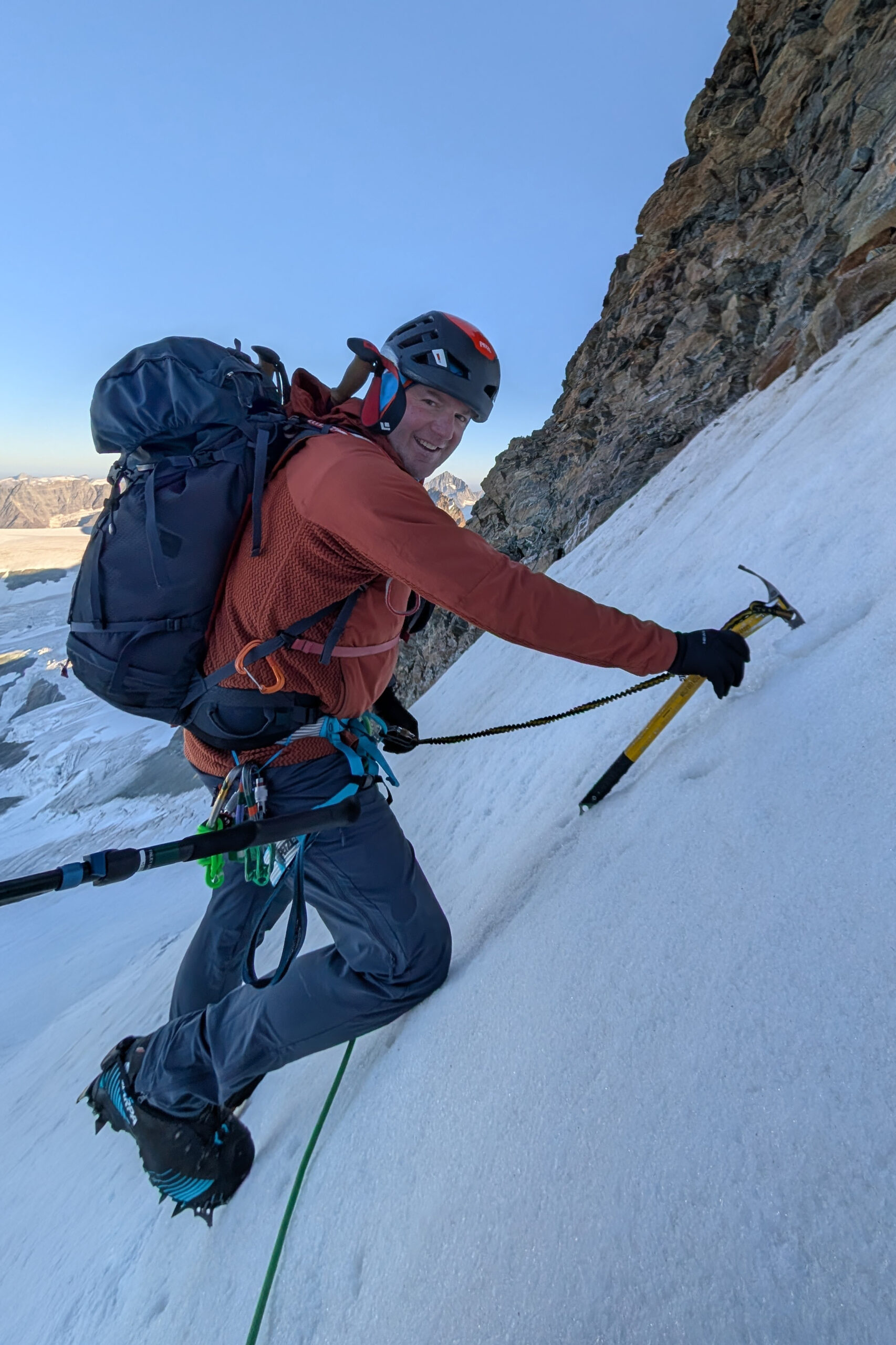
The bergschrund crossing looked exciting! But we had a guide. Which meant that all I had to do was follow and clean gear. Marco bridged his weight across the ‘schrund then began an upward traverse towards the summit ridge. He set screws every 30’ and the ice was solid which meant good protection plus solid axe and crampon placements. This was my first time ever climbing with a guide and having someone who is expected to route find, test crevasse bridges and place gear made the day low stress and straightforward. I could get used to that.
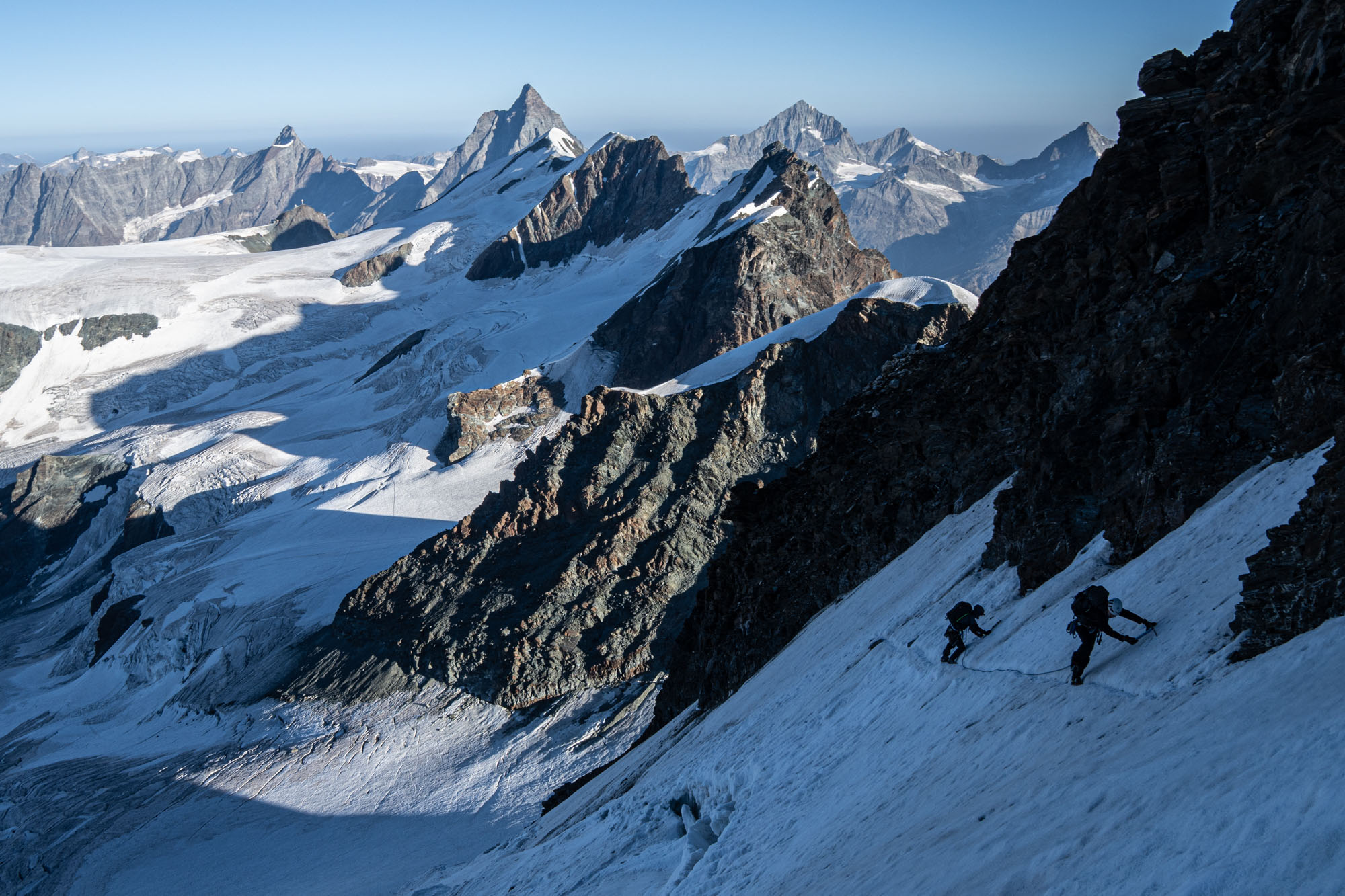
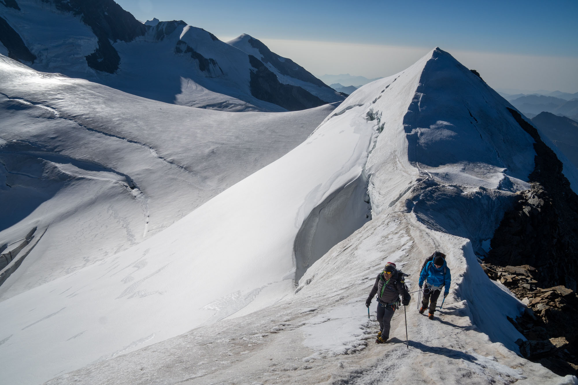
Climbers topping out on Castor. July 2026 conditions required an icy traverse above the bergschrund. Usually you can just walk straight tp the upper ridge. In the background you can see the traverse from Breithorn and the melted out traverse below Pollux.
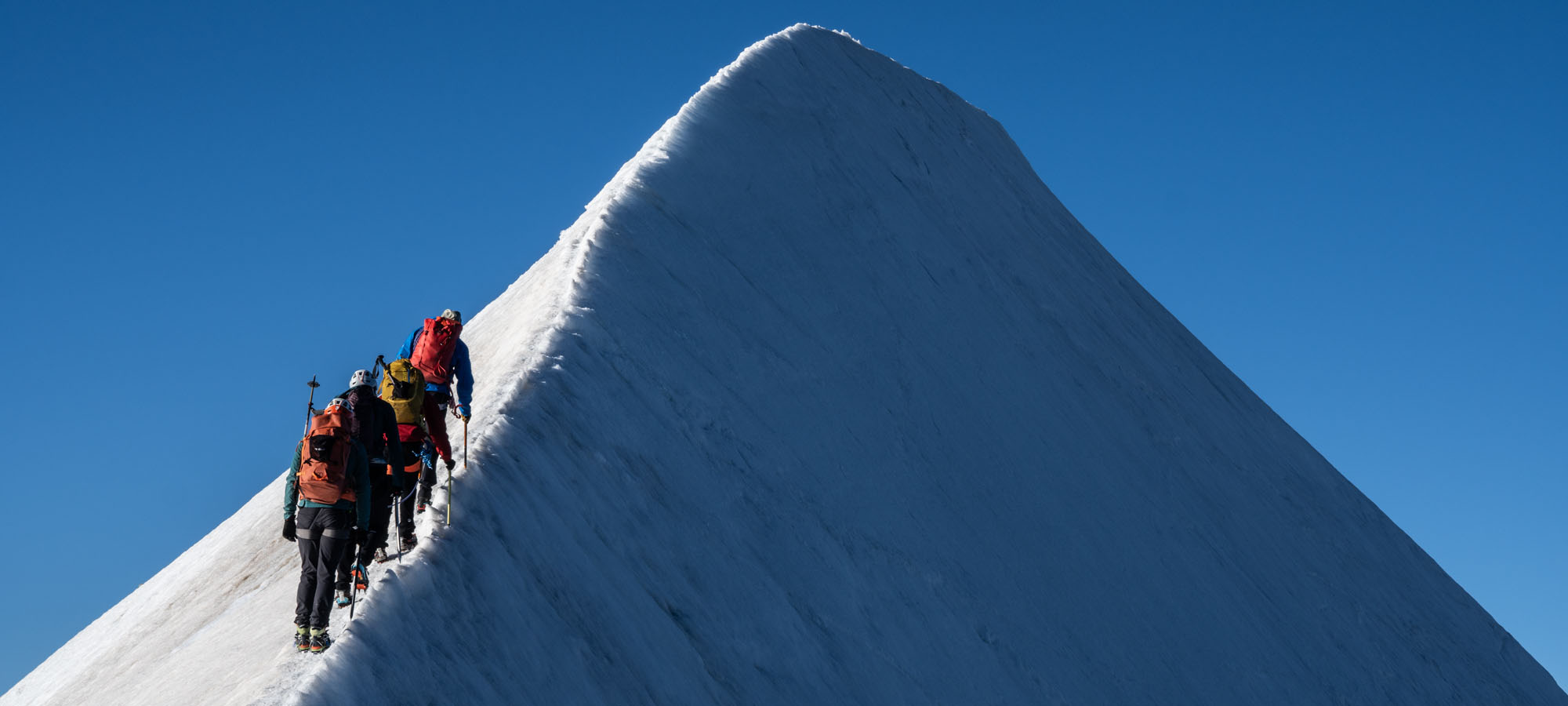
The icy traverse lead us to a sunny col below the summit ridge of Castor. It was 7:30am and the low sun meant sharp light to the east and and dark shadows to the west. Illuminated between the rising sun and the shadows was a perfect ridge line which also acts as the border between Switzerland and Italy. A tiny footpath on a knife edge with huge drops on either side leading to an isolated summit. Climbers are just starting up the ridge and we watch them carefully work their way up. A fumble would mean sliding to the right into the maw of a bergschrund in Italy – or tumbling left across a rock band into Switzerland. We watched and then we started up the ridge. One crampon in Italy and one in Switzerland.
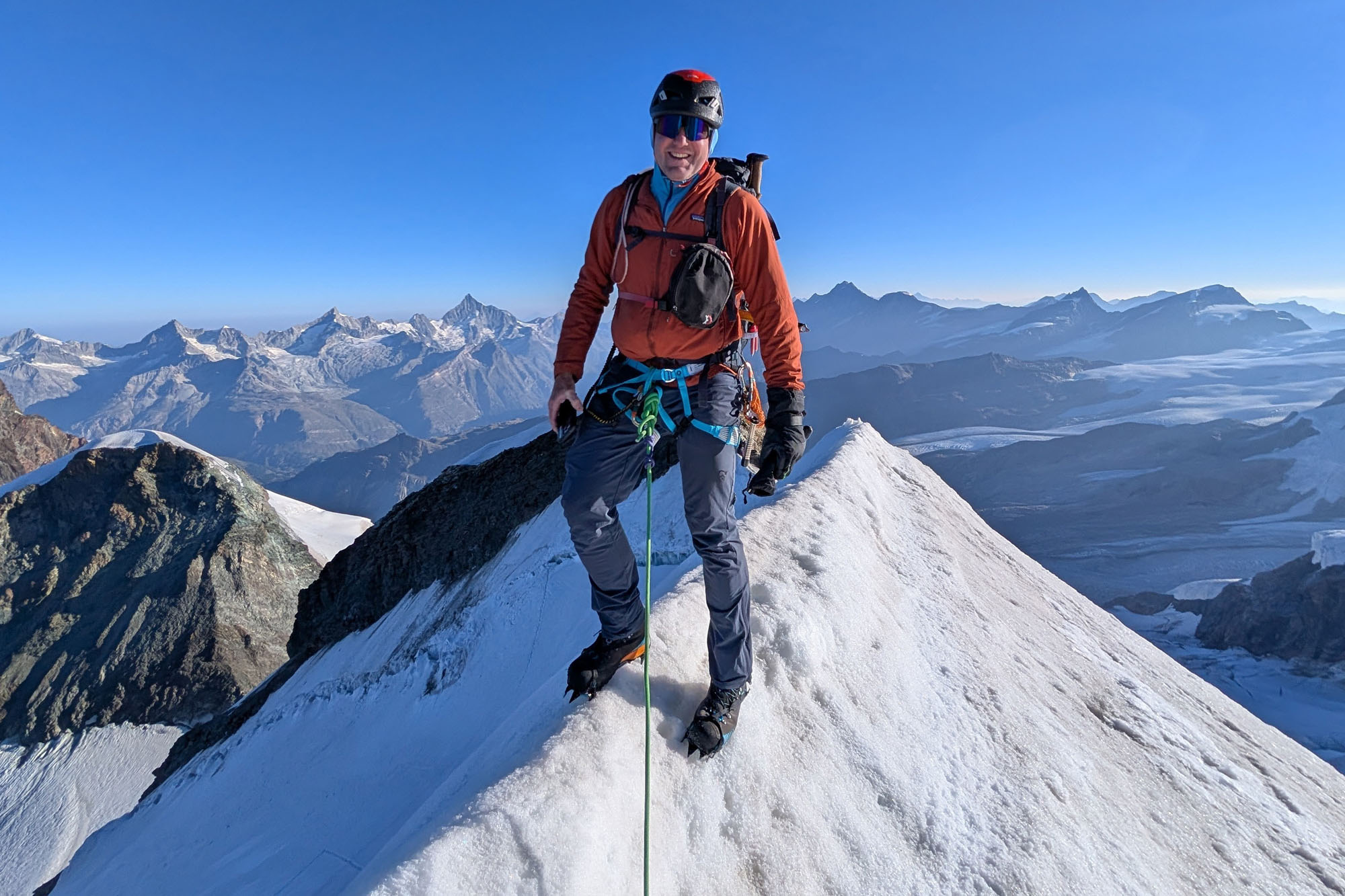
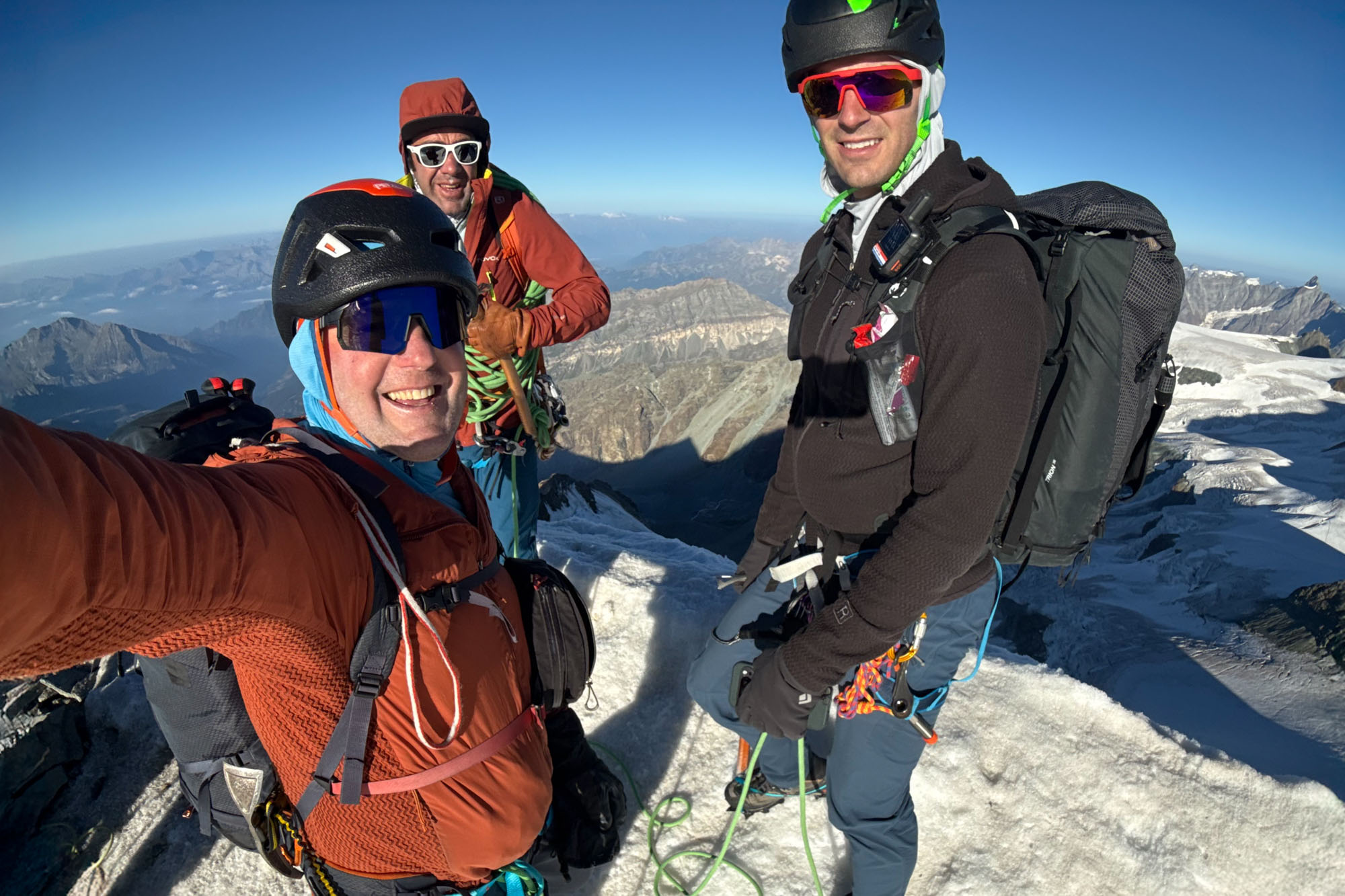
We worked our way to the summit carefully alternating between stepping in the sidewalk and balancing crampon right on the crest. It took us 8 minutes and then it was done. I wished it was twice as long. There wasn’t a cloud in the ski and the views were panoramic.
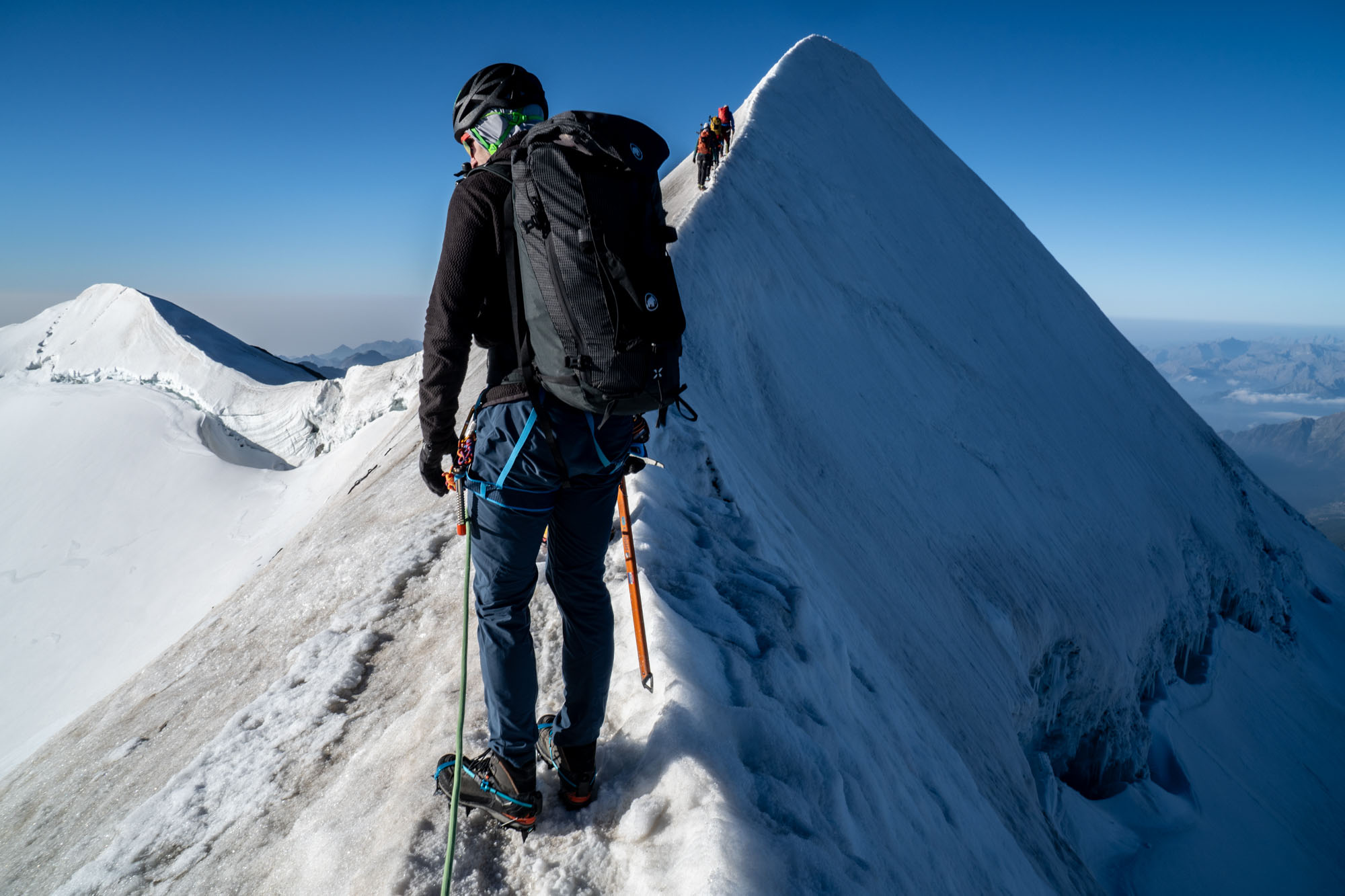
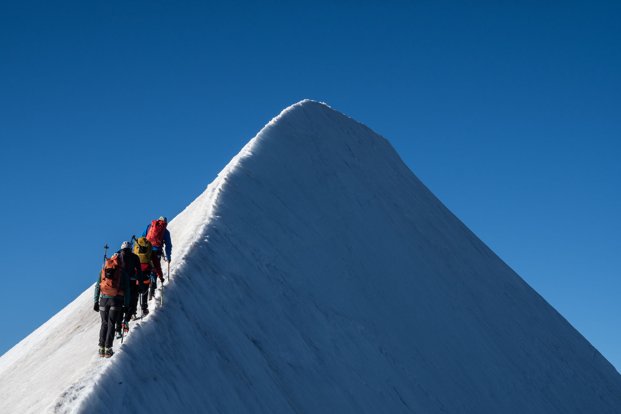
Then down. The ridge leading east was just as narrow as the summit ridge and there was a steady stream of climbers heading up. We descended slowly – pulling aside in safe zones to let the teams past. Across the ridge and a side-detour to the top of Felkhorn (13,409 ft) then down a melted out face to the glacier below. A short steep ice ramp than a section of mixed terrain across several suspect crevasses. As an aside… during this section my crampons popped off several times. I was using a new pair – the Blue Ice Harfang Mono – and the Dyneema band used for adjustment stretched and caused them to pop off several times. At the end of the day I was able to readjust them and didn’t have any other issues with them – but I never truly trusted them and spent the rest of the trip checking them continually.
I posted this review on the Blue Ice website. Their response is copied below.
I recently did an Alps trip and have several pairs of crampons – but needed a pair with heel lever only for class C mountaineering boots. I have some Petzl Irvis Hybrid – but would be doing a fair amount of rock scrambling so I wanted all steel. An outdoor gear sales assistant ended up selling me the Blue Ice Harfang crampons and I used them for 5 days in the Italian Alps on a moderate mountaineering traverse with lots of glacier travel, skinny alpine ridges, ice up to 50 degrees and some easy rock. This is my take on these crampons:
- Adjusting these is a bitch. You have to take the strap out off the first slot and wiggle everything – and to get them tight you crank so hard you think the wire bail or heel lever is going to break. Once you get them on they feel okay… until you use them for 12 hours.
- They stretch. After 12 hours the Dyneema strap starts to stretch. If I had spent 5 minutes reading about these crampons I would have known the strap has a tendency to stretch… but I didn’t and discovered this while down climbing a rocky stretch of glacier riddled with crevasses. The strap stretched and the heel popped off. When it happened the front strap stayed fairly tight so I was able to front point to a spot where I could out them on. Unfortunately we were in a bad place with lots of exposure to rockfall so I couldn’t take 10 minutes to adjust them (which is how long it takes to make simple adjustments) – so I had to half-ass strap them on and continue down climbing. They ended up coming off several times that day because I couldn’t adjust them properly in the field. Anyone who buys these should soak the crampon in the bathtub for a couple hours and then adjust. And then to adjust again after their first day.
- The heel lever wire is so thin that the heel lever slides on the wire and moves in flexible class C boots. The wire is so small that in order to you adjust so they’re tight enough to stay on in technical terrain you have to crank so hard that the wire feels like it’s going to snap. After I adjusted them to not pop off I spent the rest of the trip worried that the heel lever wire would snap. The wire never broke – and maybe I was just being overly worried – but compared to every other crampon I’ve ever owned it looked and felt flimsy and I didn’t trust it. Likewise the wire is so thin that the heel lever shifts easily – so when I was front pointing up rocks my boot heel would twist and the heel lever would slide back and forth. It never actually popped off – but I literally checked my crampons every other step for 5 days.
- Poor durability. The fabric straps do not hold up and will likely need replacement after a few trips. I used these for 5 days and the ends of the Dyneema strap are so frayed that pulling them / threading back through the slot (to adjust for stretch) has become almost undoable. I can still get the strap through the slot – but after another trip I doubt I’ll be able to adjust without cutting / burning the strap to get rid of the fuzz. Likewise the webbing toe bails are frayed and will have to be replaced after another trip.
In short – I don’t recommend these crampons for summer mixed conditions. I think they’d be fine ski mountaineering where you have a stiff boot with a heel that does not flex and where you’re generally on snow – but not when you’re spending a fair amount of time on rock.
>> Blue Ice replied:
Hi,
Thank you for taking the time to contact us and share your detailed feedback on the Harfang Mono.
Your comments are valuable, and we have taken note of your experience. However, they reflect your personal use of the product and do not represent the experience of the majority of our users.
If you do not feel confident using the Harfang Mono for your mountain objectives, we would recommend trying the Griffin crampons, which may be better suited to your needs.
We nevertheless wish you a great summer and many great days in the mountains.
Best regards,
The Blue Ice Team
Below Felkhorn there were a few crevasses – but the glacier soon gave way to low angle ice and we put away the rope and walked down the ramp in the morning sun. Once again the climbing was completed by mid-morning – but the temps were climbing rapidly and any route threatened rock or icefall (which was basically everything) was high risk so we played it safe.
We reached Rifugio Quintino Sella at 10am. It’s a gorgeous hut perched on a rock outcropping with glacier ice spilling across rocks to almost the door. I dropped gear (had a cappuccino and pie) and then walked around on the plateau outside the hut.
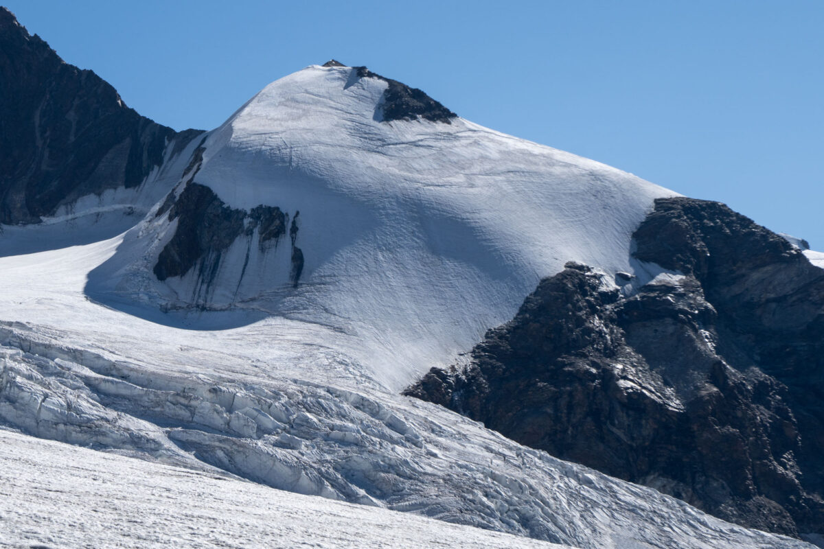
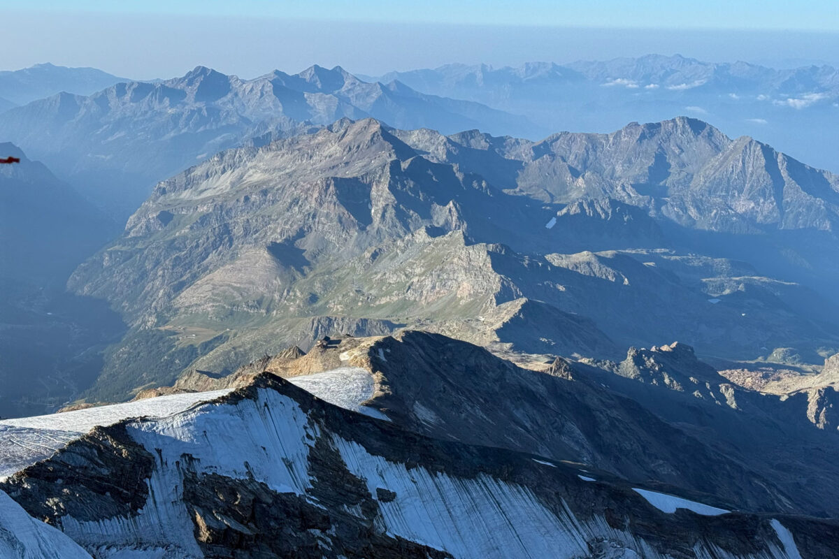
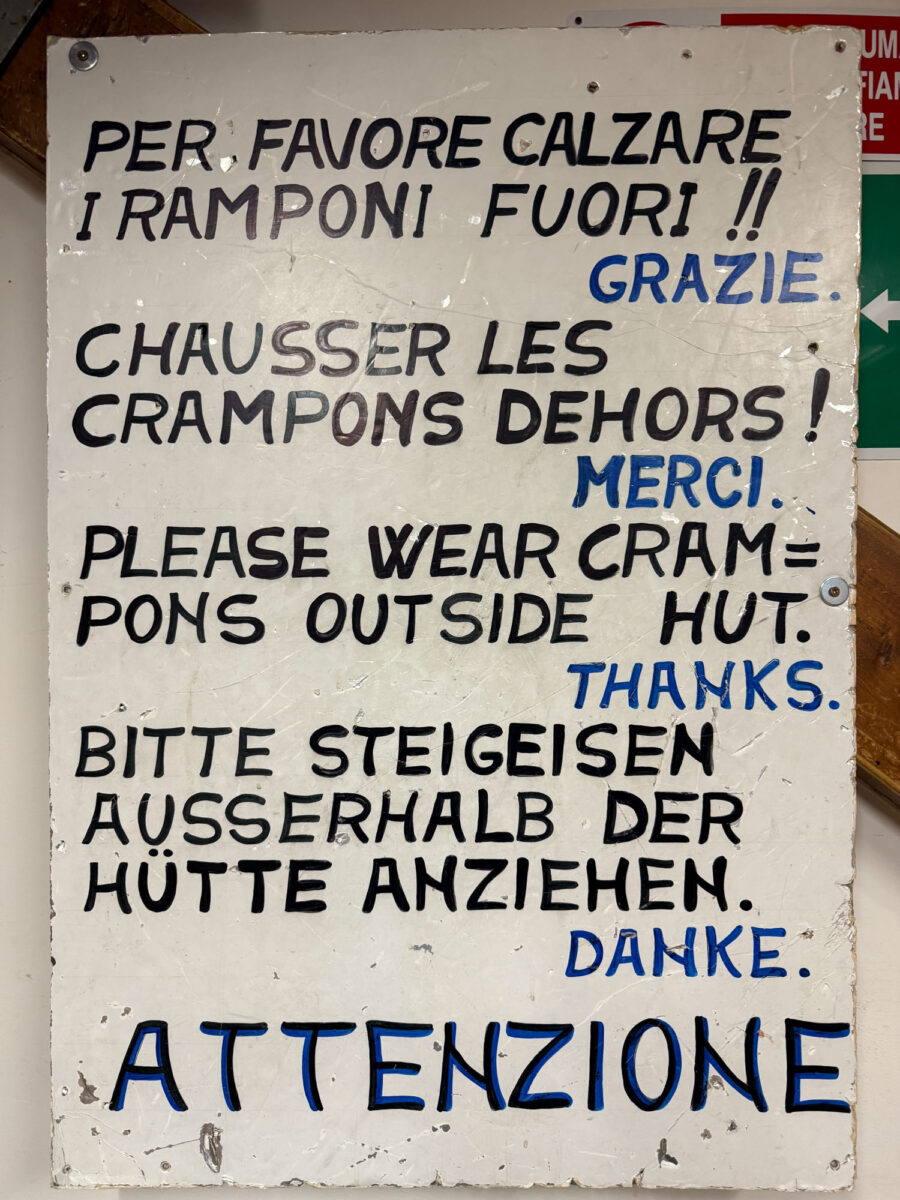
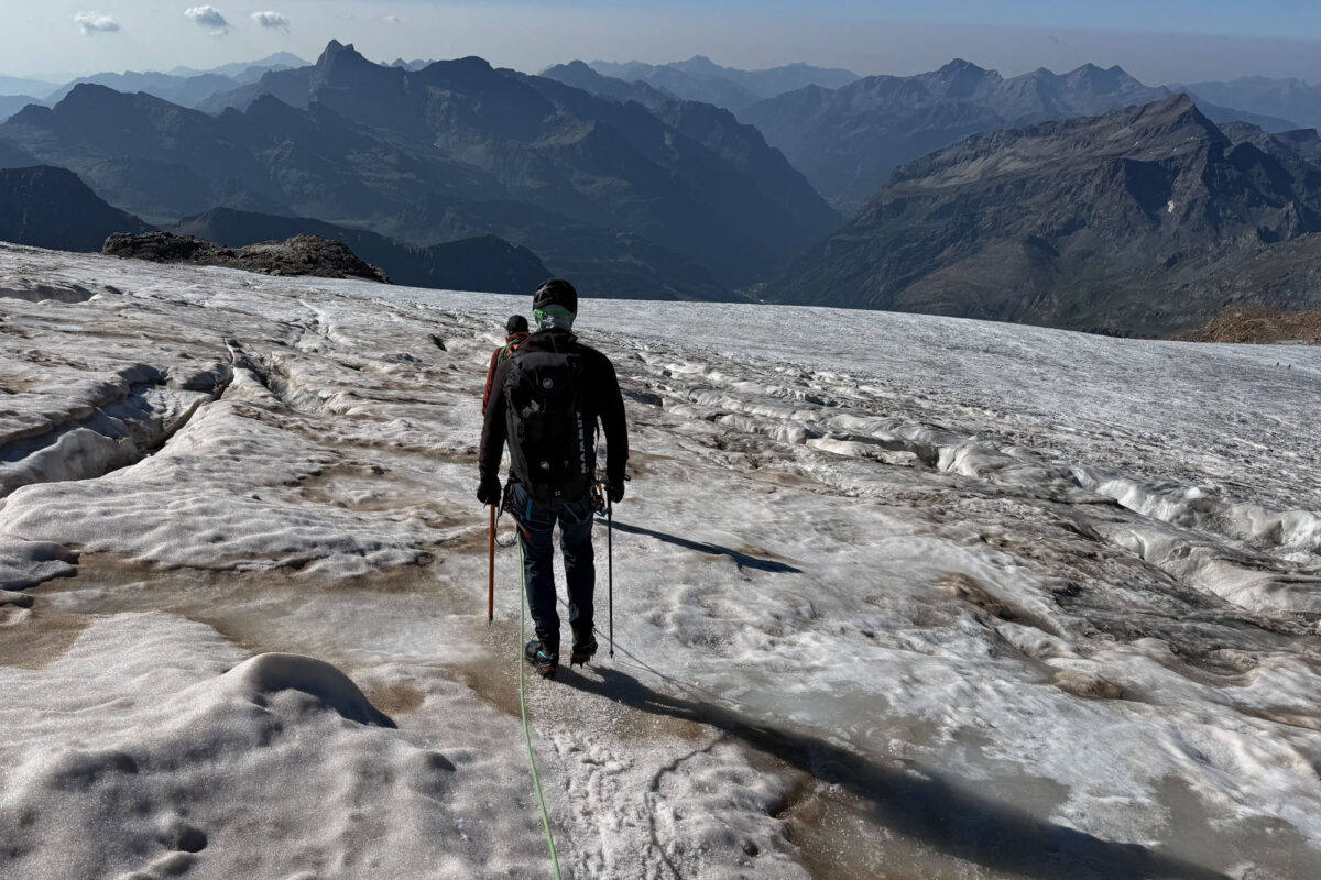
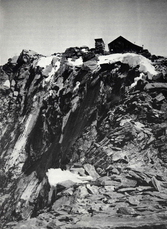
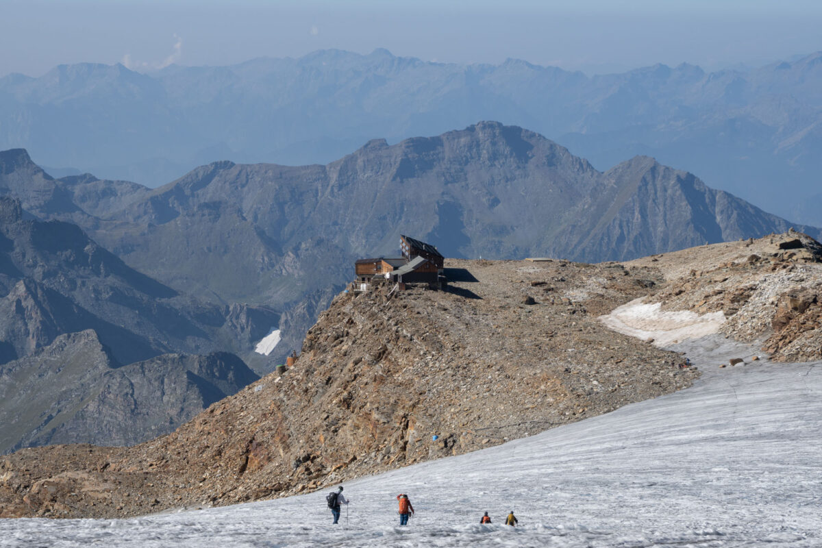
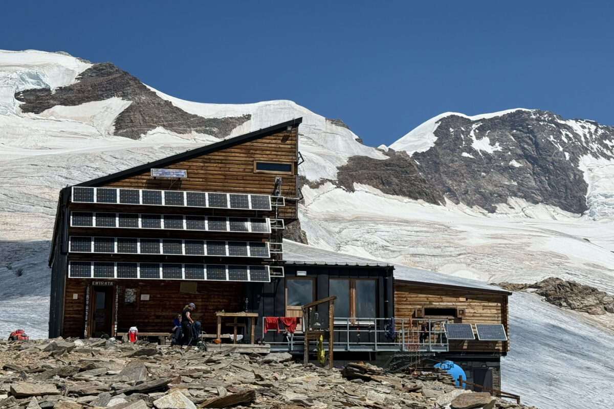
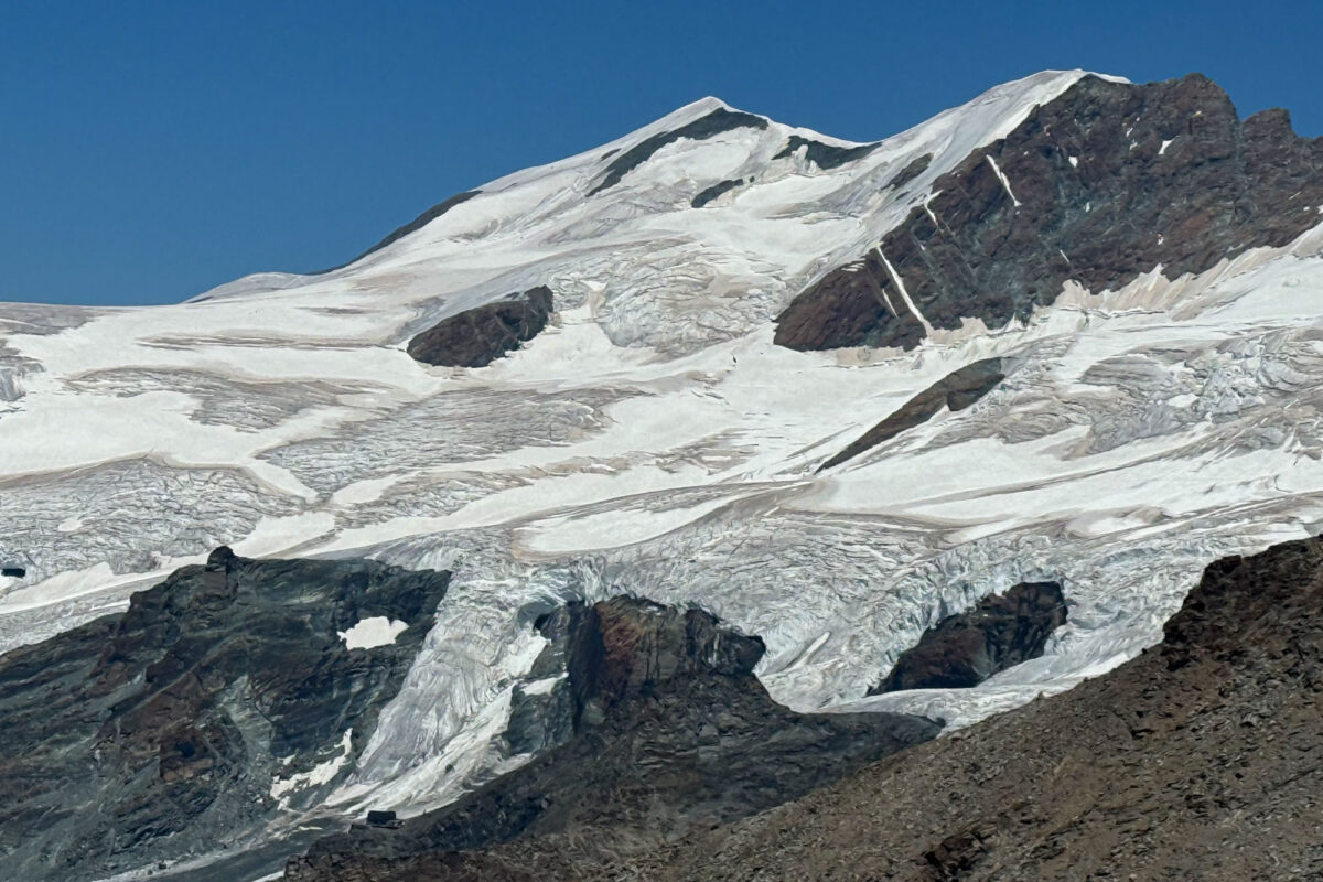
An interesting aside about the Stella hut: In August 1936 a huge landslide let loose right next to the hut. 650,000 cubic feet of fractured rock fell onto the glacier below and ran 2 miles and 4,000 ft down valley to Plan de Verraz-Dessous (a zone we had walked through a few days previously). Miraculously no one died, but the hut was literally perched on the edge of the landslide and workers quickly moved it back away from the edge to where it sits today. On my walk around the hut I could see remnants ot the debris in the valley below and it was a reminder of the dynamic nature of these mountains.
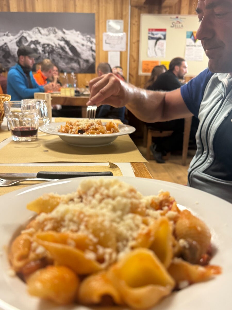
The rest of the day was spent lounging in the hut. A hearty pasta dinner was served promptly at 6 and we were in bed by 8:30pm with alarms set for 4am for the next day.
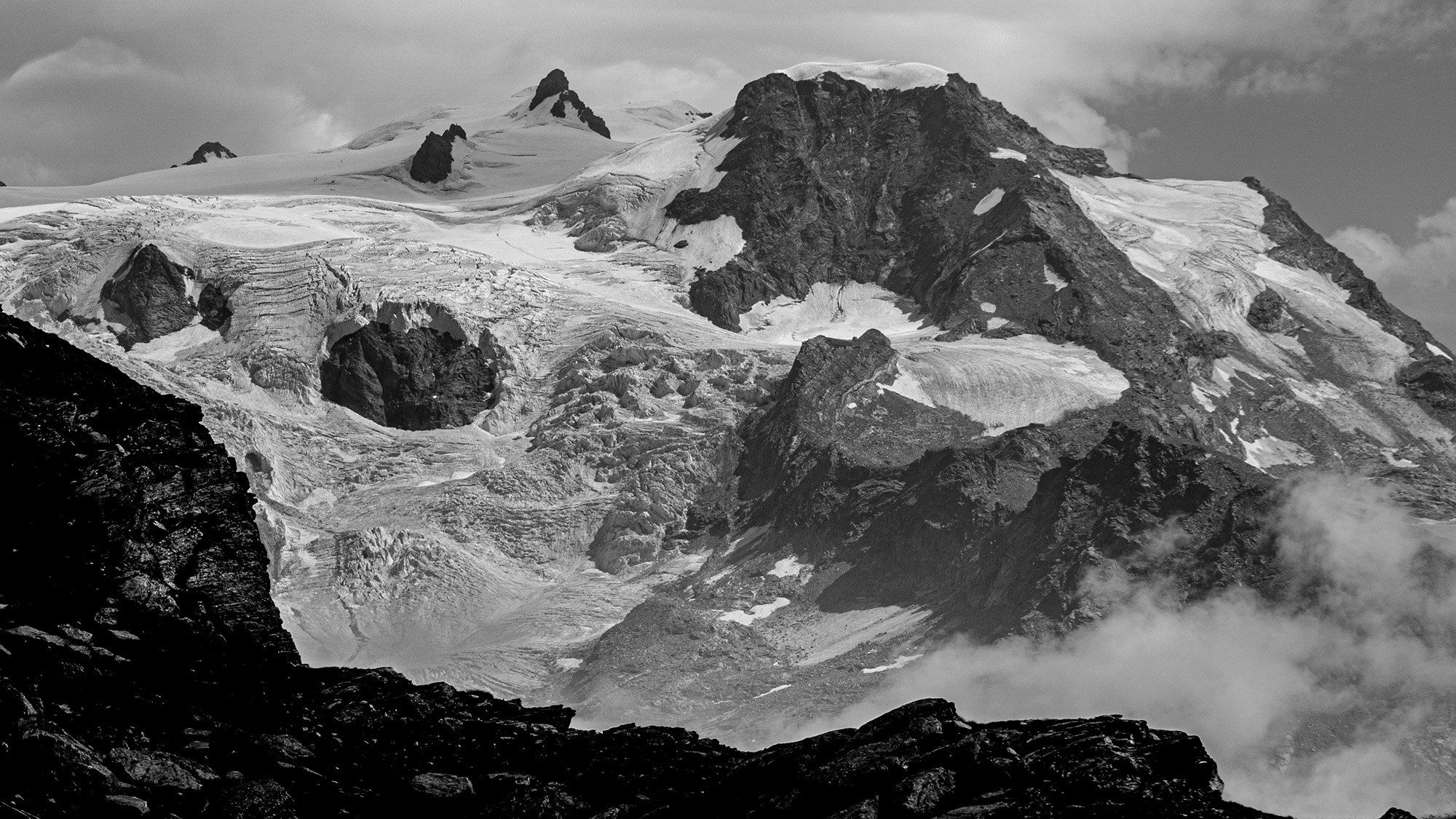
I took this photo from a section of the Monte Rosa trek. This is looking north-west at Ghiacciaio del Lys. The peaks are Piramide Vincent (main peak center right), Balmenhorn (the small rock outcropping middle left) and Corno Nero (rocky point in the middle). Rifugio Gnifetti sits on the rock point directly below Vincent.
Day 3: Naso del Liskamm Traverse to Piramide Vincent to Rifugio Capanna Giovanni Gnifetti
On day 3 things finally kicked into gear. We left the hut at 5 and walked the short distance to the edge of the glacier where we put on our crampons and stepped onto the ice. We followed our route from the day prior for a short distance then veered off and traversed under the South Face of Liskamm across giant crevasses and small crevasses and bridges that shouldn’t have held body weight but did. Eventually we reached the base of Naso del Liskamm – the Nose of Liskamm – a 14,015 ft protrusion that juts out on the south side of Liskamm proper. This is the classic traverse line that ascends a mixed band of rock to an ice face that you ascend to Passo del Naso, where you can then descend to the Lys Glacier.
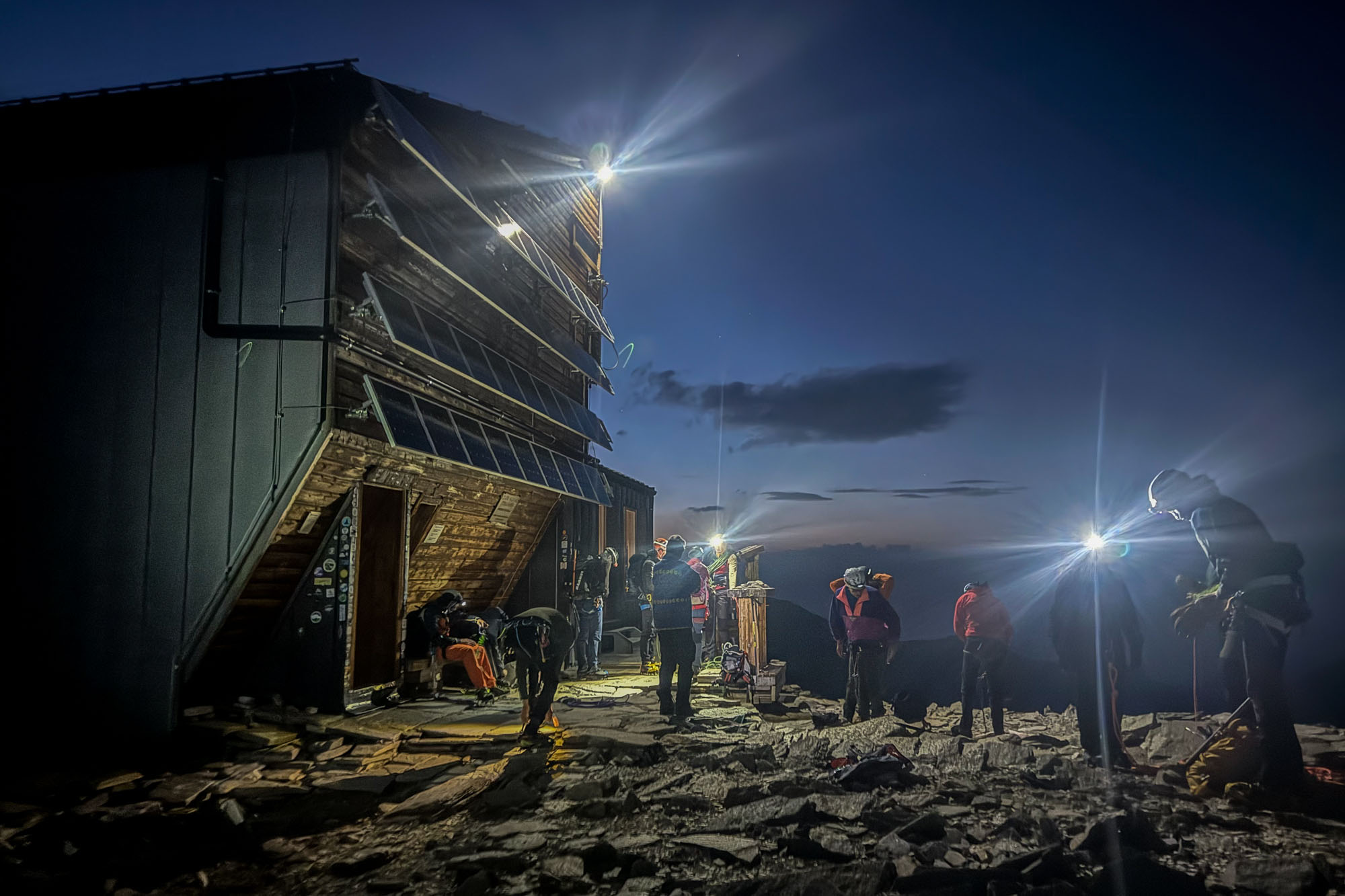
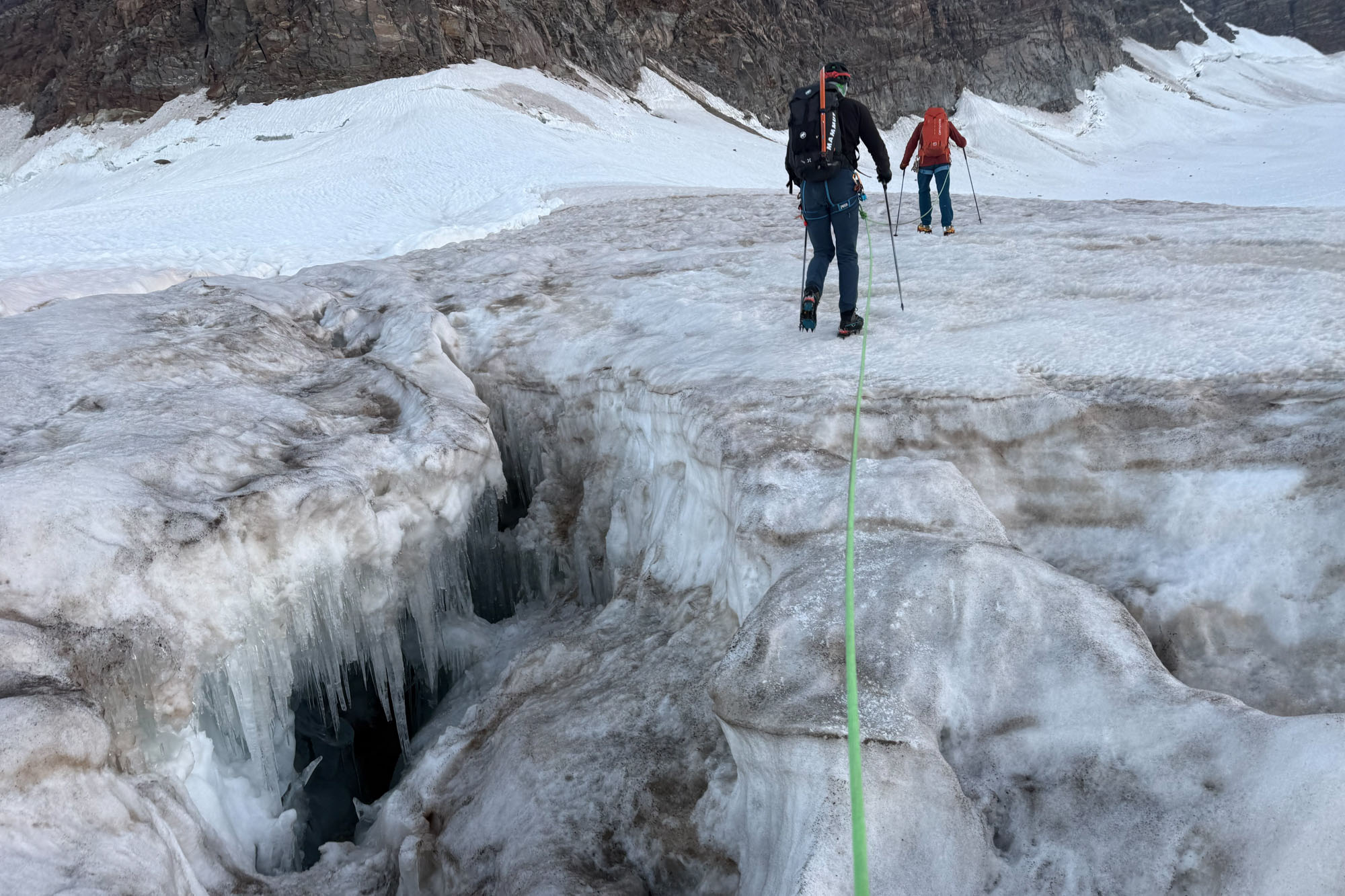
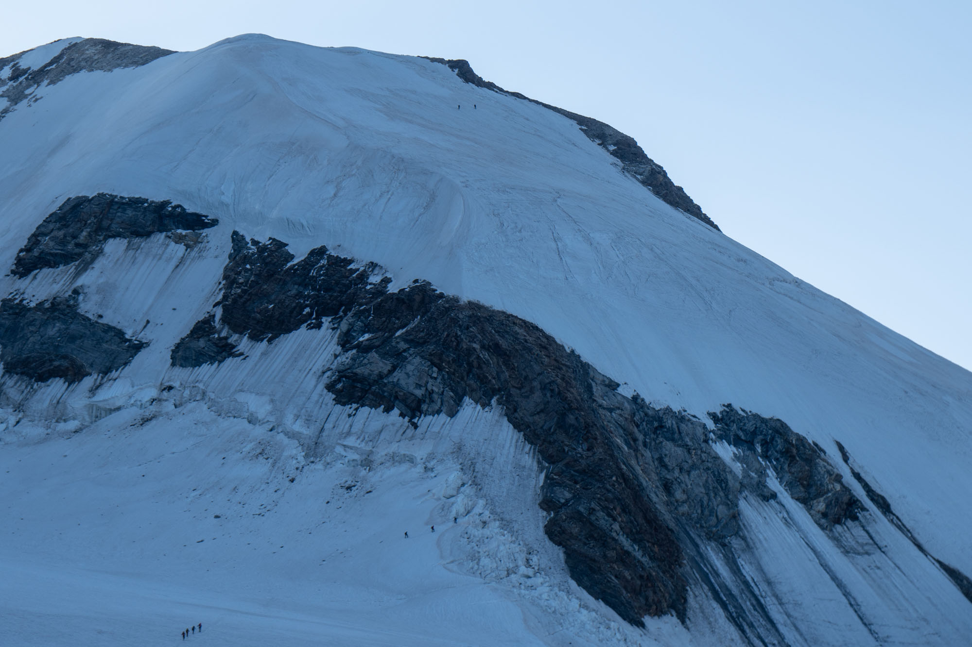
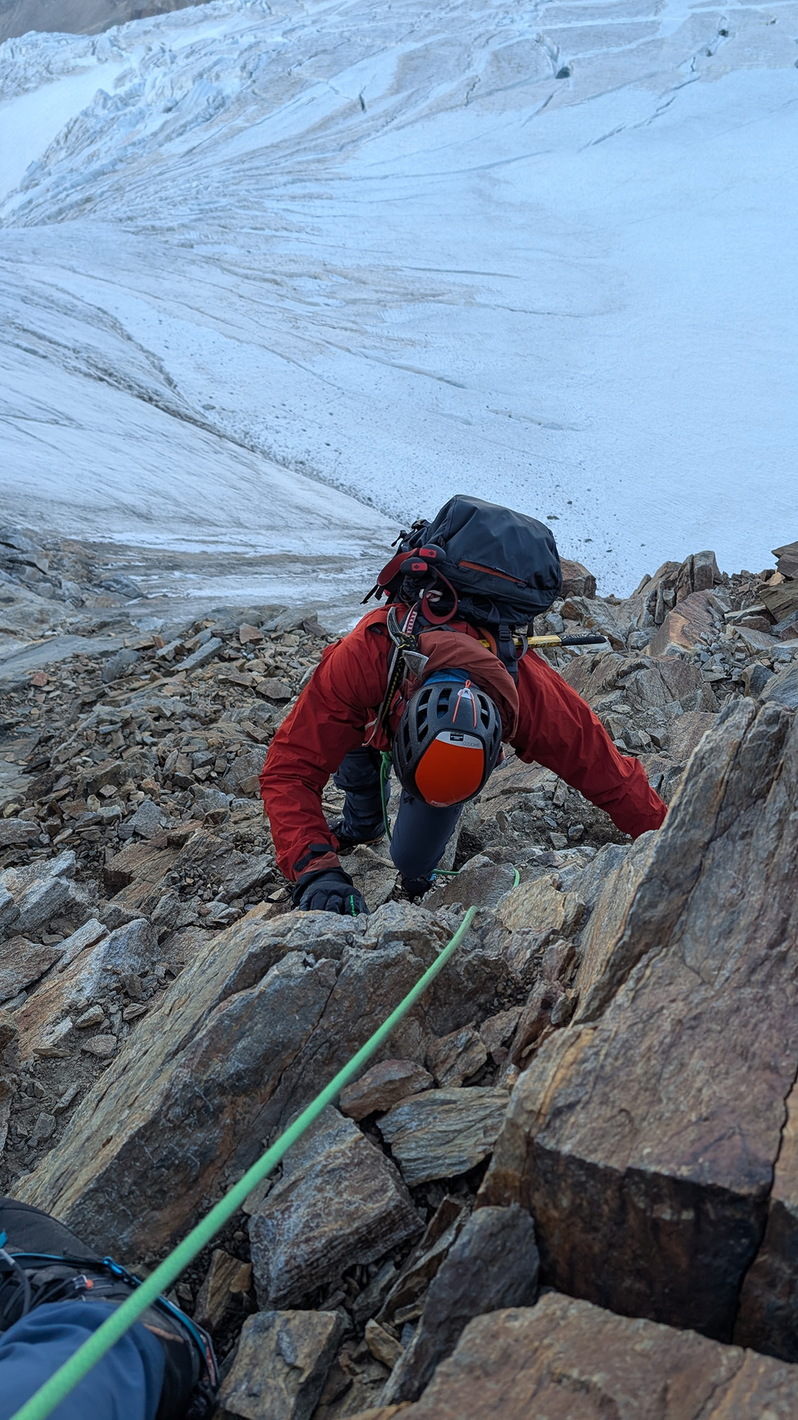
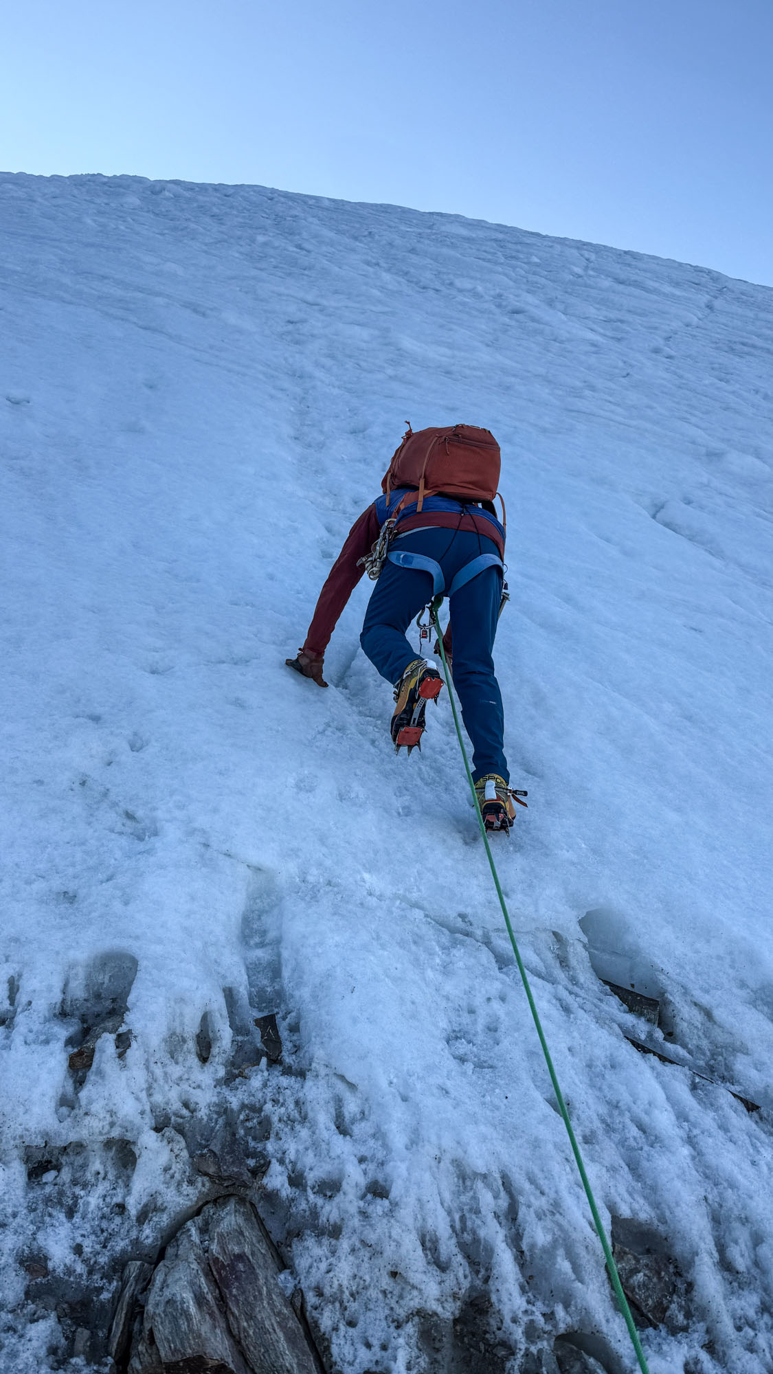
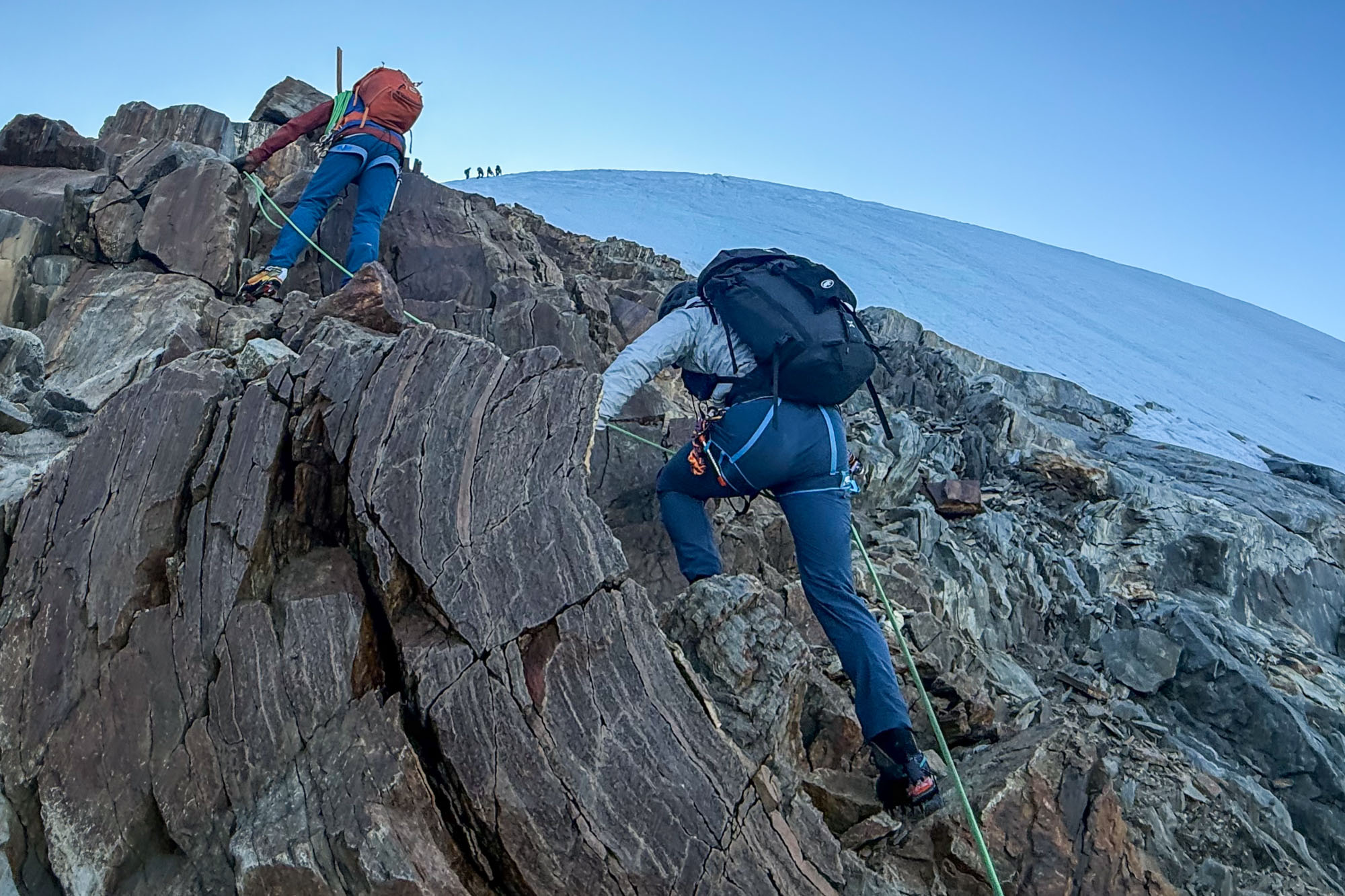
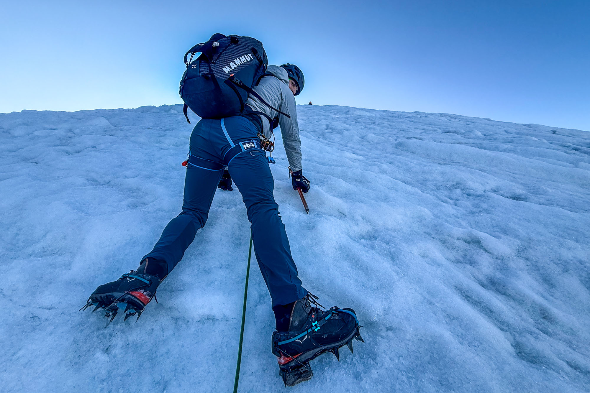
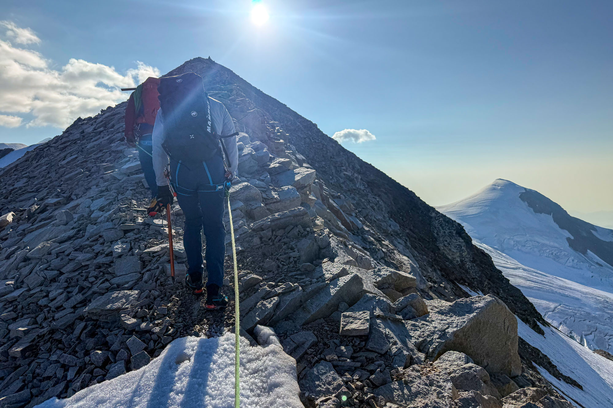
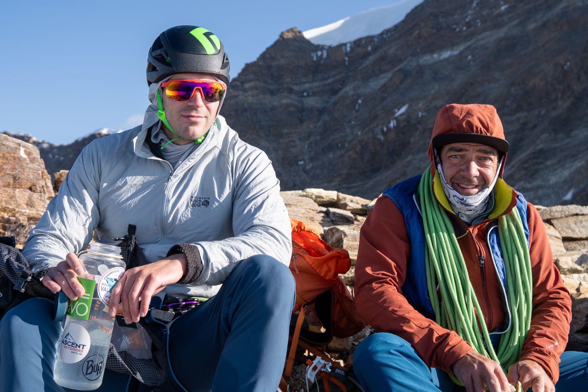
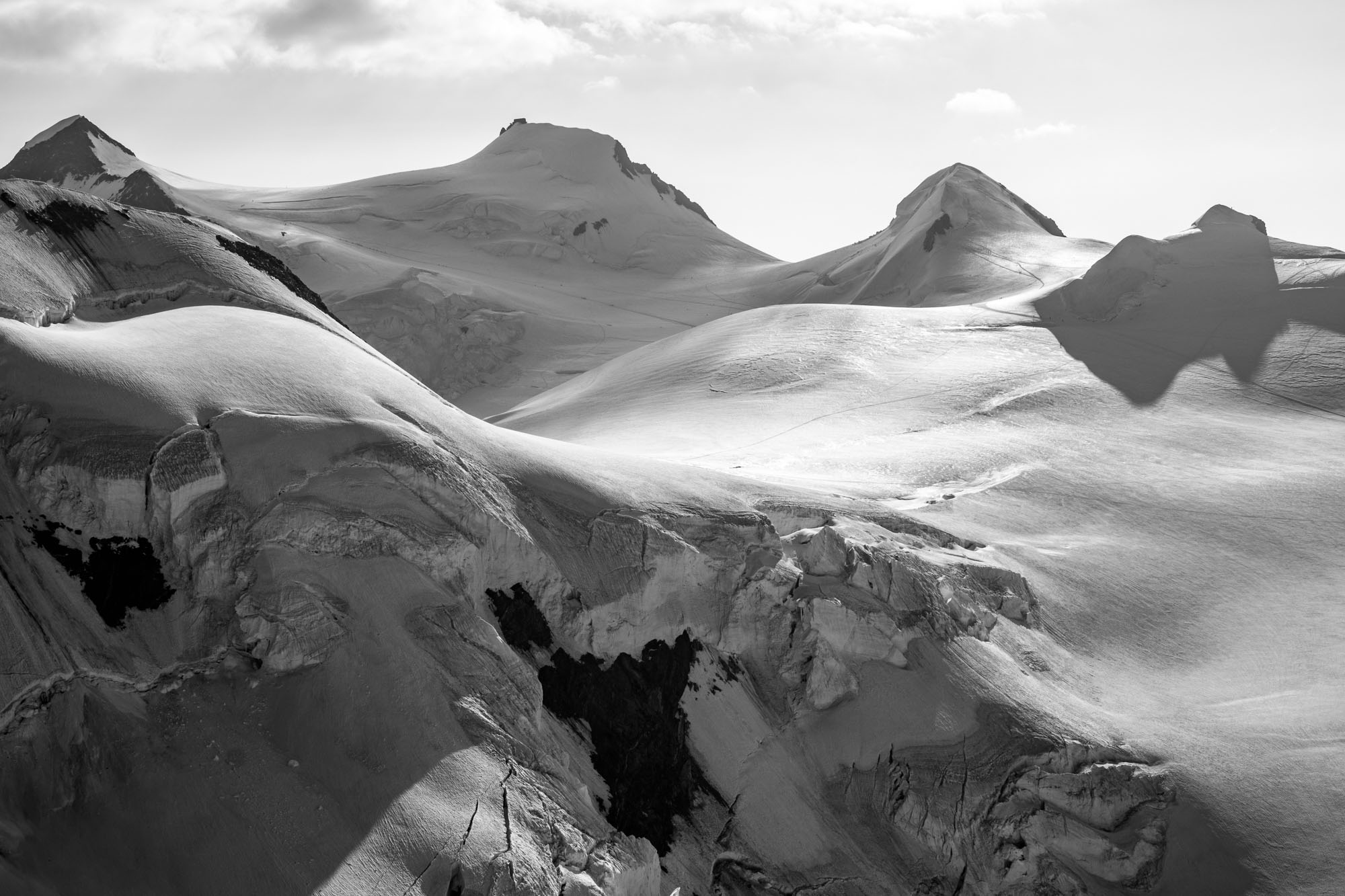
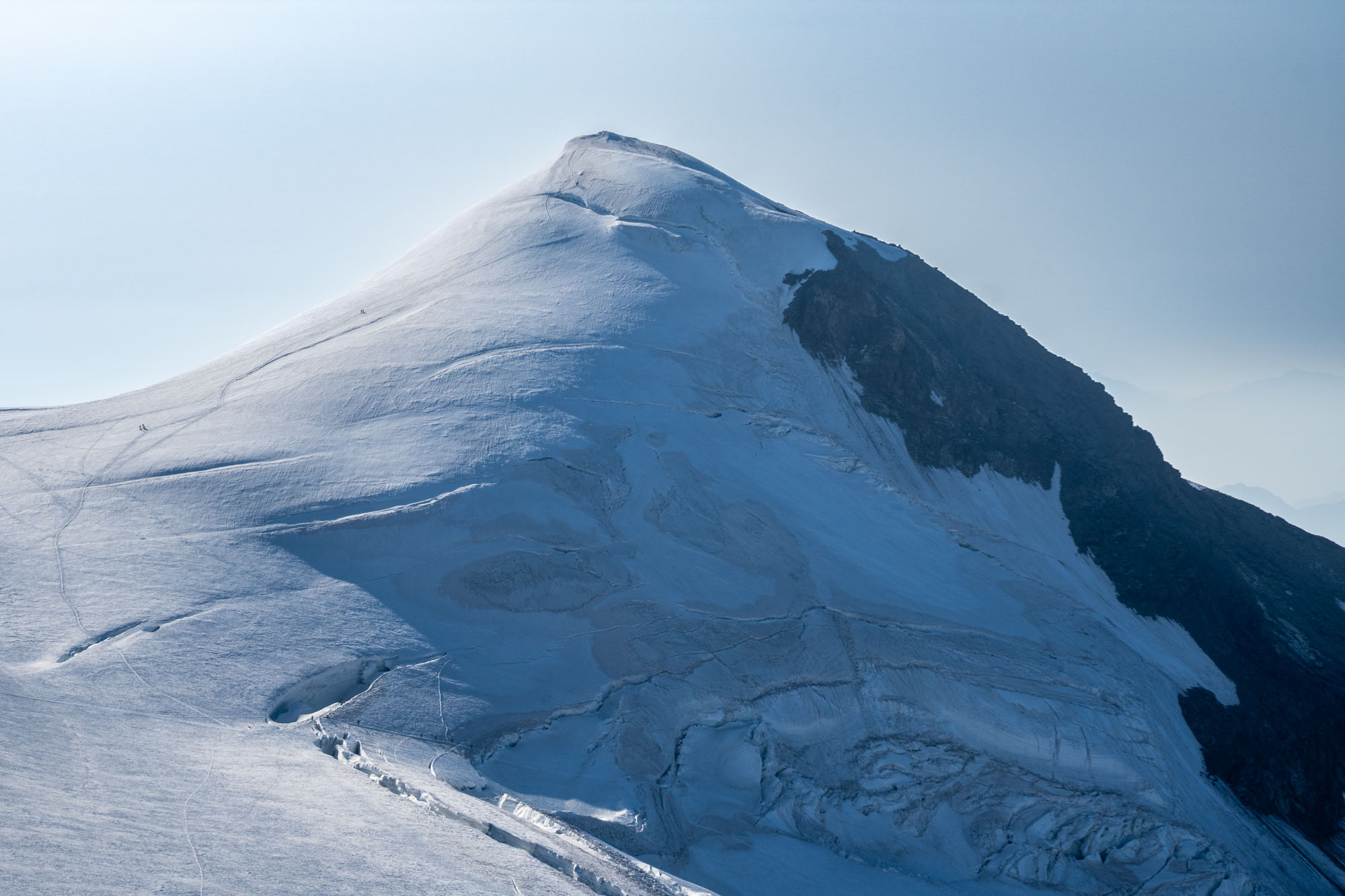
We were at the base of the Nose at 7am and promptly ascended steep snow to the traverse that took us across the decaying bergschrund and onto the rib of rotten rock. A 15 minute scramble up Class 3 rock put us at the base of the ice – then Marco set off and lead the ice pitch in one go. A few minuted later he anchored in and brought us up. We regrouped, then climbed a couple hundred feet of snow and soon transitioned to a rocky ridge which we took to the summit.
We ate a snack in the sun on the summit and looked across the valley at our next objectives. From here we would drop to the Lys Glacier which we’d cross over to Pyramid Vincent before dropping to the Gnifetti hut for the night. Vincent was 3 miles away – the hut 5 miles away. And in-between us and those objectives were a hundred crevasses that wanted to eat us.
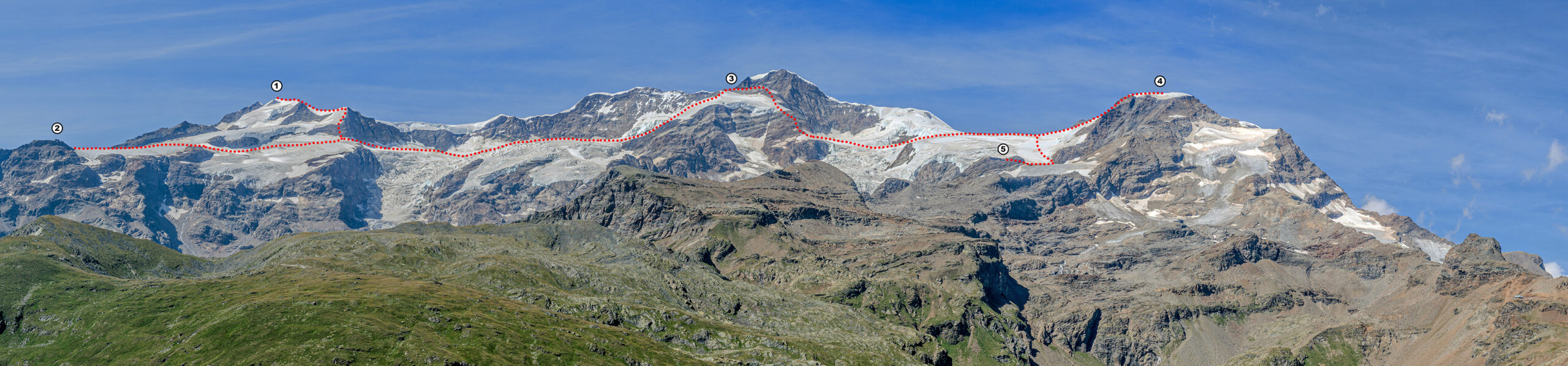
Scroll to view. 👉 Days 2 and 3 of the classic Spaghetti Tour. We traversed (1) Castor and descended to (2) Rifugio Sella. The next day we traversed (3) Naso del Liskamm, ascended (4) Piramide Vincent and then descended to (5) Rifugio Gnifetti.
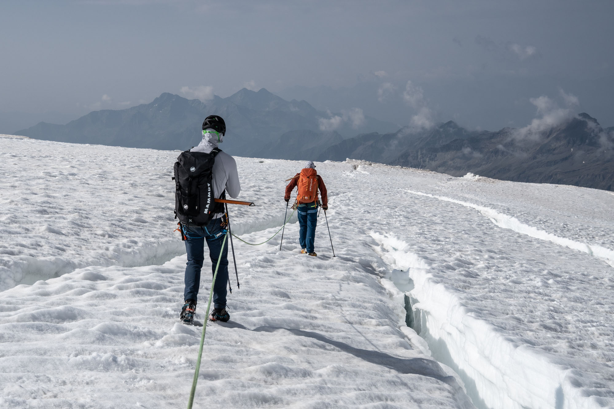
The descent involved down climbing a talus slope followed by an exposed snow rib back to talus and finally off the talus and onto the ice. To gain the glacier proper we delicately crossed an absolutely massive bergschrund via a paper thin snow bridge. This put us the Lys Glacier proper and we began the traverse towards Piramide Vincent. The glacier was pretty shattered. Huge crevasses required end-running and jumps and the occasional trust the snow bridge will hold balance move. The mile crossing took about an hour and then we were back on the heavily traveled trail between Gnifetti and Margherita. From there a 500 ft ascent put us at the base of Balmenhorn.
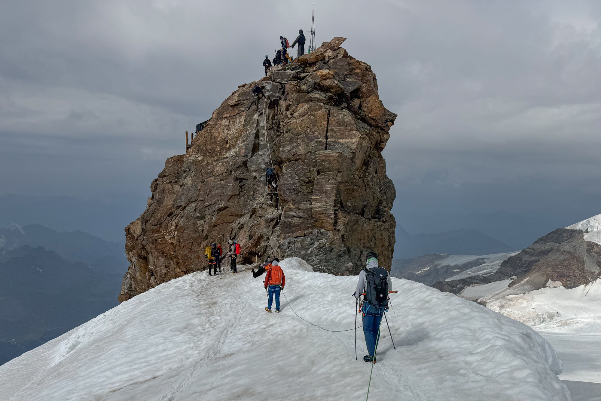
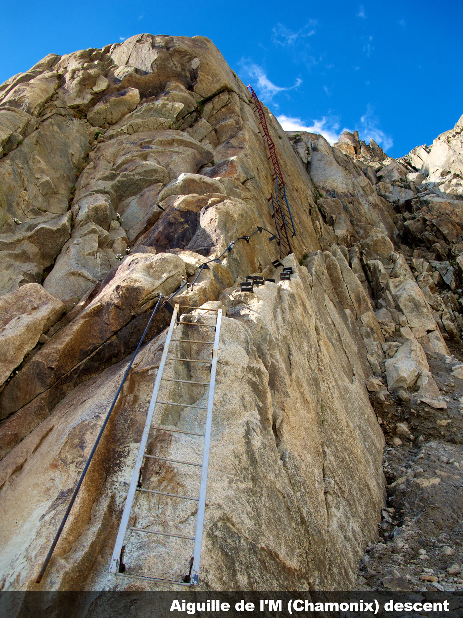
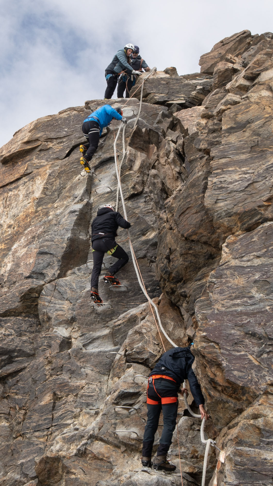
Balmenhorn had a queue of climbers going up and down. It also had fixed rebar hand/foot holds and thick rope. Not a true via ferrata – but close enough. I’ve climbed and hiked enough in Europe to not be surprised by things like this so when the queue cleaned out I was eager to follow Marco to the top. Plus there was a giant statue of Jesus on top. How often do you get the chance to cross a glacier and climb a via ferrata to Jesus?
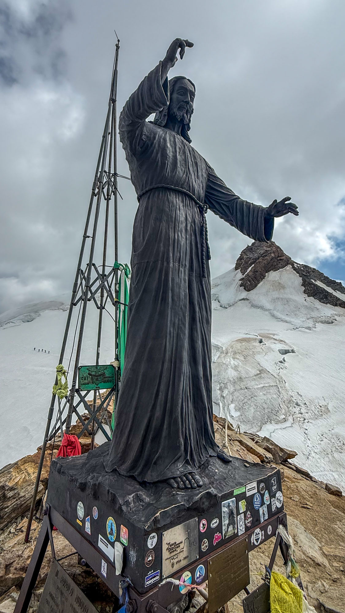
A collection of photos of saints and shrines along the Monte Rosa and Spaghetti Tour routes.
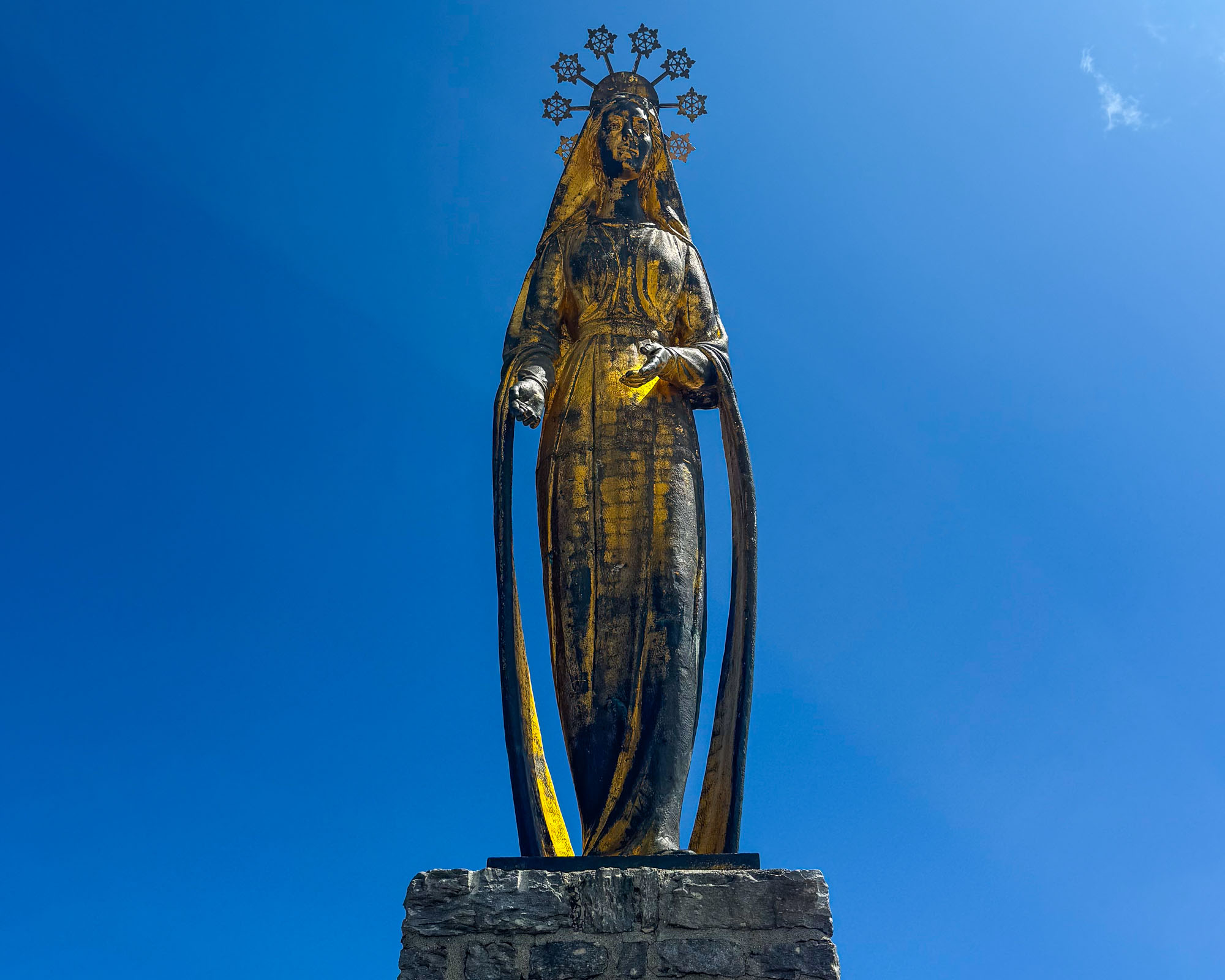
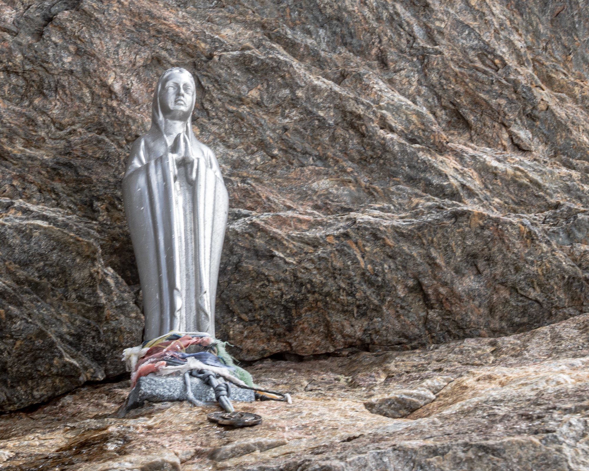
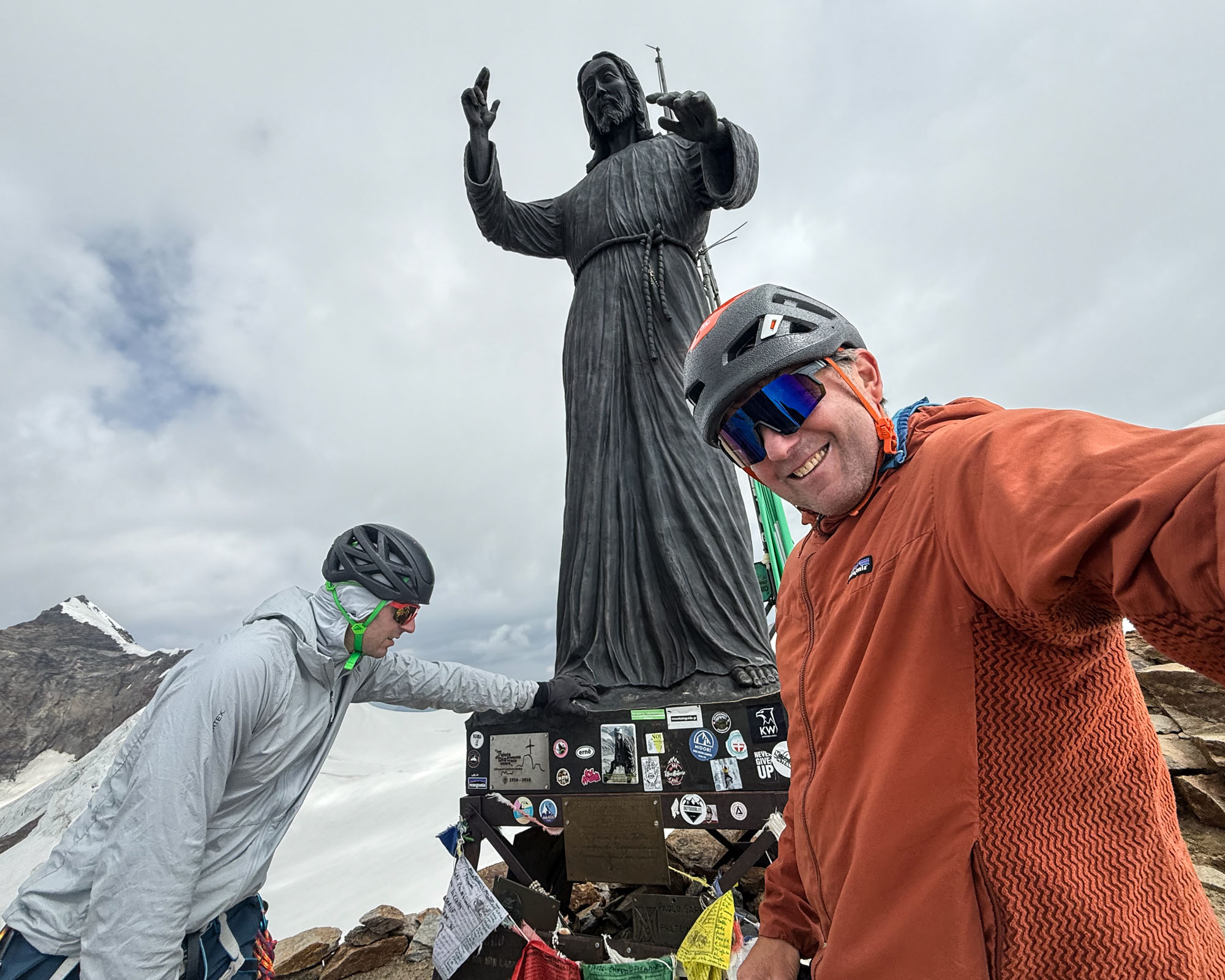
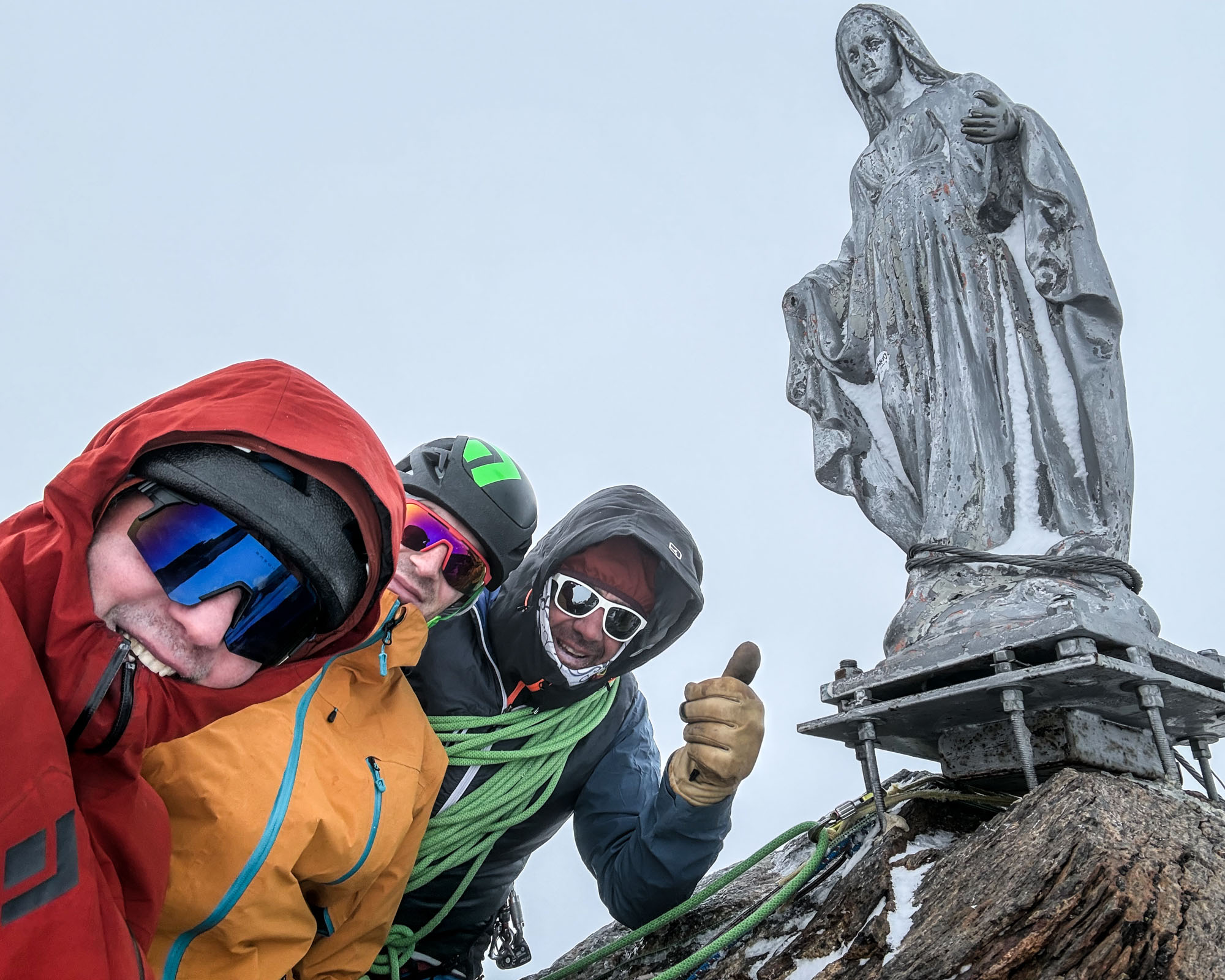
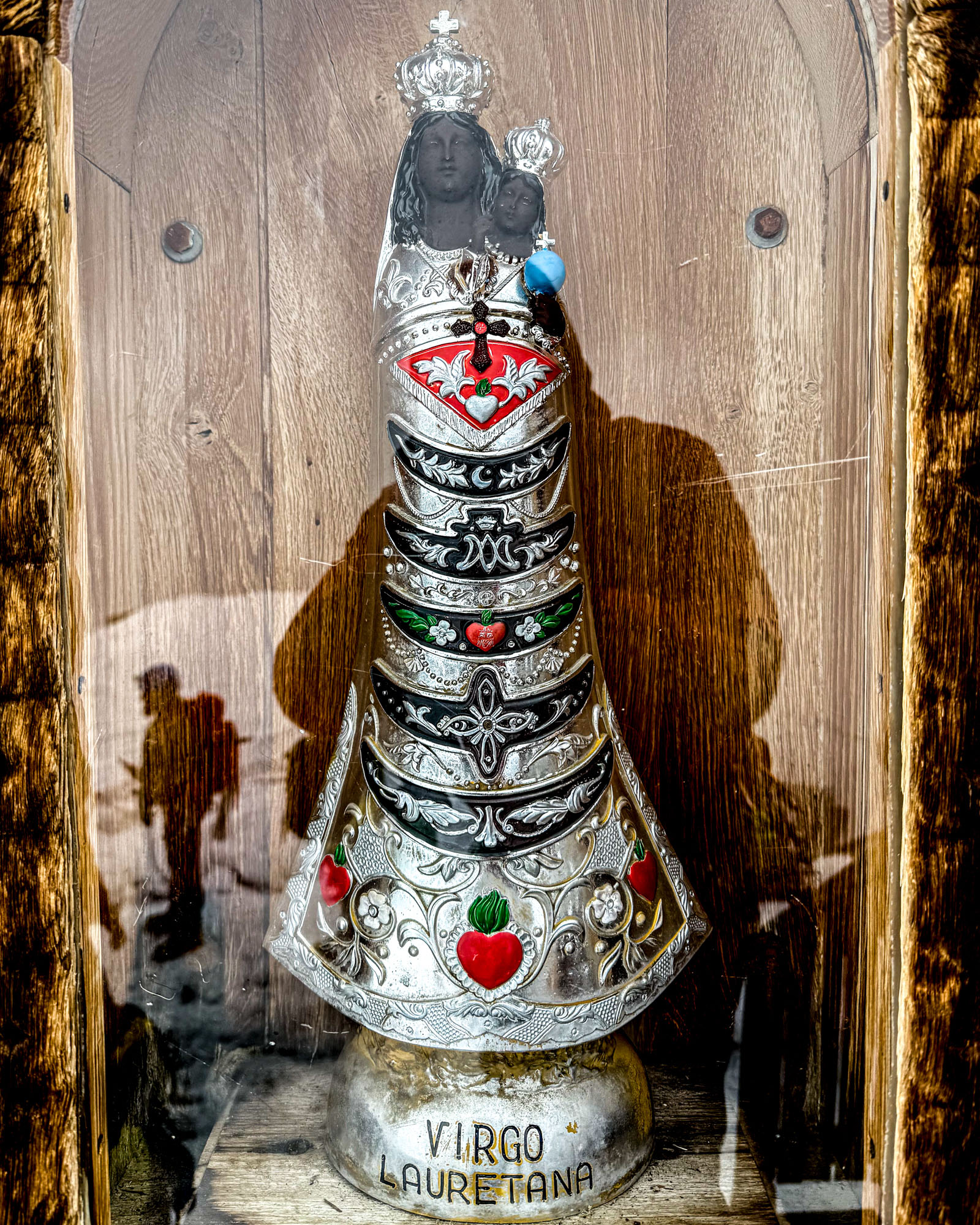
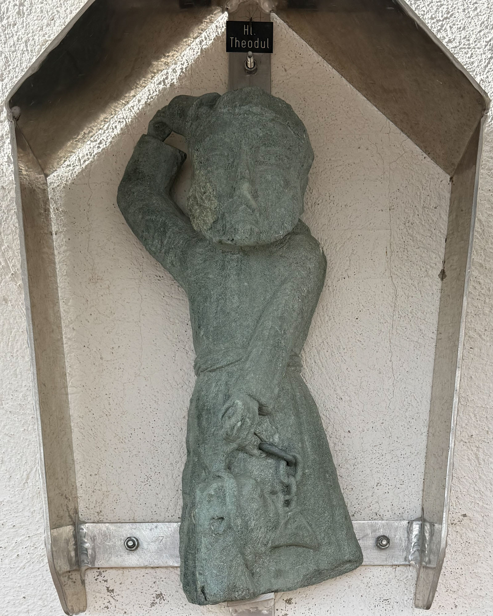
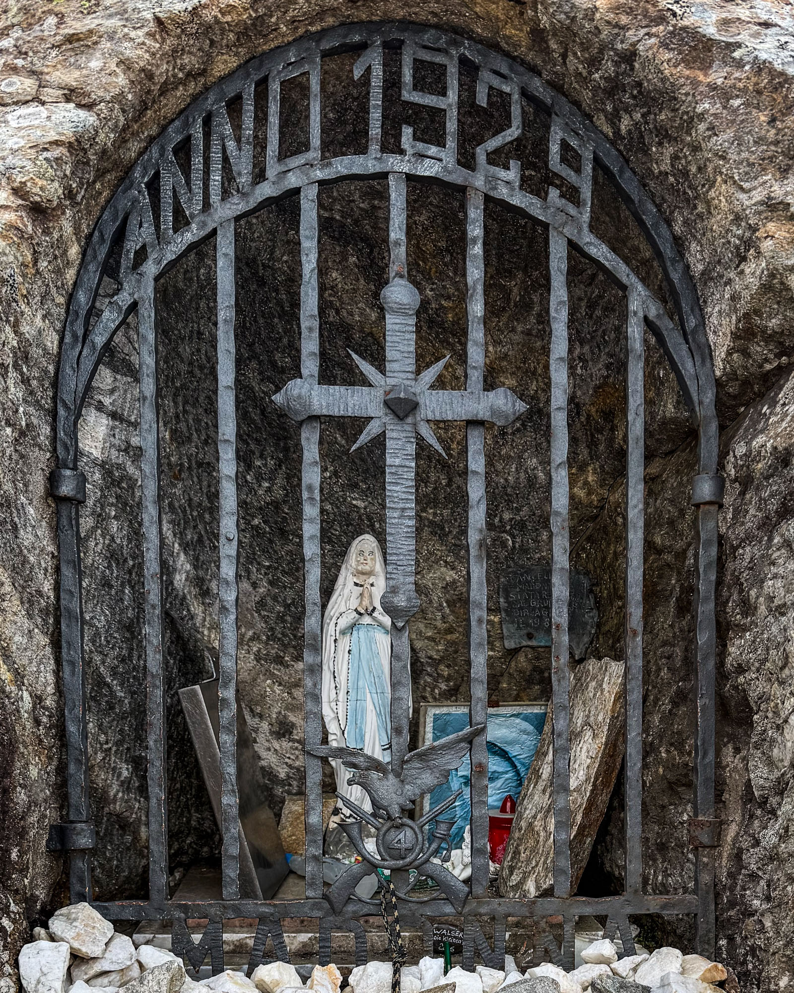
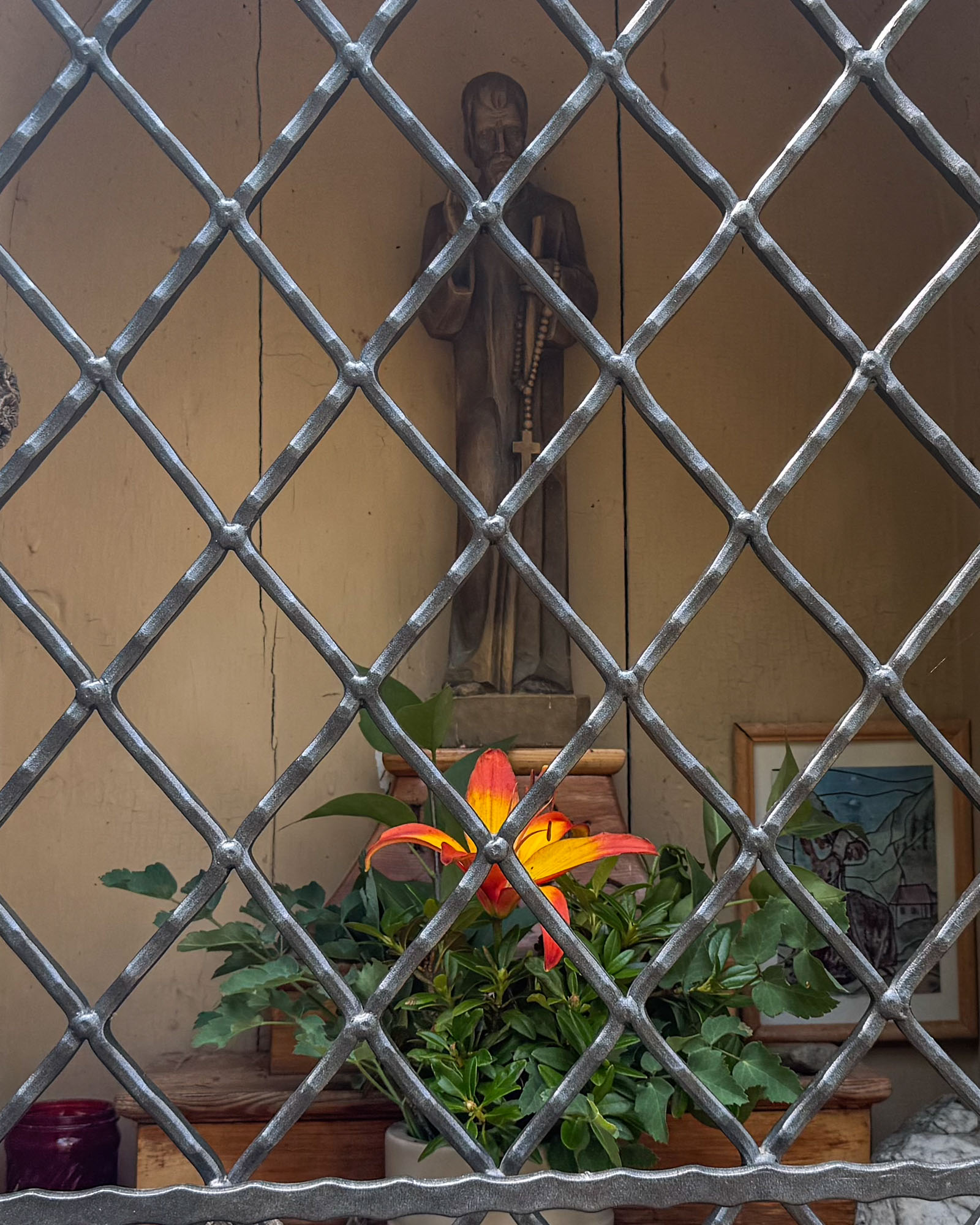
A quick round of photos on the summit but also some some concerns about gathering clouds. It was 11am and the forecast was calling for afternoon showers so Marco made the call that we had time for another peak. Down the fixed ladders and a few hundred feet south to the Vincent col. This was followed by a short ascent (and another bergschrund) to the summit (13,829 ft).
Clouds were gathering so little time was spent on the summit. We started the descent – gingerly working out way over the bergschrund and then straight down the slopes towards the main trail to the hut. It was getting dark and we could smell the approaching storm – but the crevasses were huge so we had to move carefully. A particularly delicate section slowed us down a bit – then then we were able to hit the main trail and pick up the pace. By now Marco had us descending at a slow jog. We wove around rope teams and jumped over big cracks to bypass the end run.
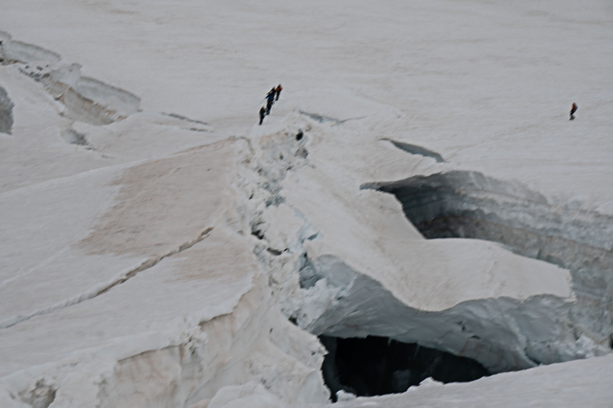
We were through the worst of the crevasses when the storm hit. Lightening flashed, thunder rolled and the clouds began to empty. Heavy hard hail began to pelt and within minutes everything was coated in a layer of icy ball bearings. Marco continued to run. I couldn’t see the hut, but my guess was that it was close because Marco didn’t want to stop for shells. Heads down we ran. I couldn’t stop smiling.
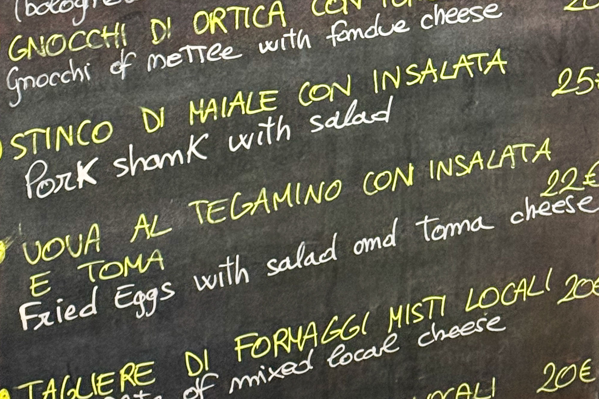
The day had been perfect: the climb up Naso del Liskamm had the right mix of scrambling and ice, the via ferrata on Balmenhorn was a novelty and after staring at the summit of Piramide Vincent for days I had stood on top. The complex maze of crevasses required complex crampon work and the wave of strafing hail was exhilarating. I ran on – my face wide with glee. And then transitioning to rock with Marco yelling “crampons off here now run!” and across a metal platform to the beautiful Rifugio Gnifetti. Through the doors wet and laughing and before we could even catch our breath Marco was pushing to the lunch counter shouting for food over the clamor of wet climbers. A thick lunch of gnocchi (and cappuccino, pie and beer in that order), drying out gear and then a thick pasta dinner.
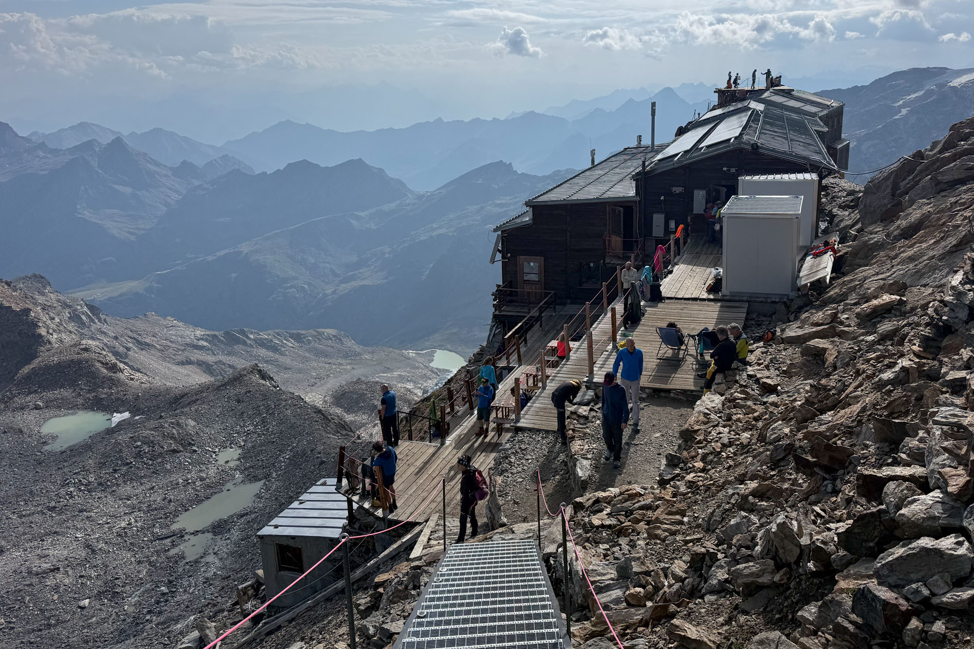
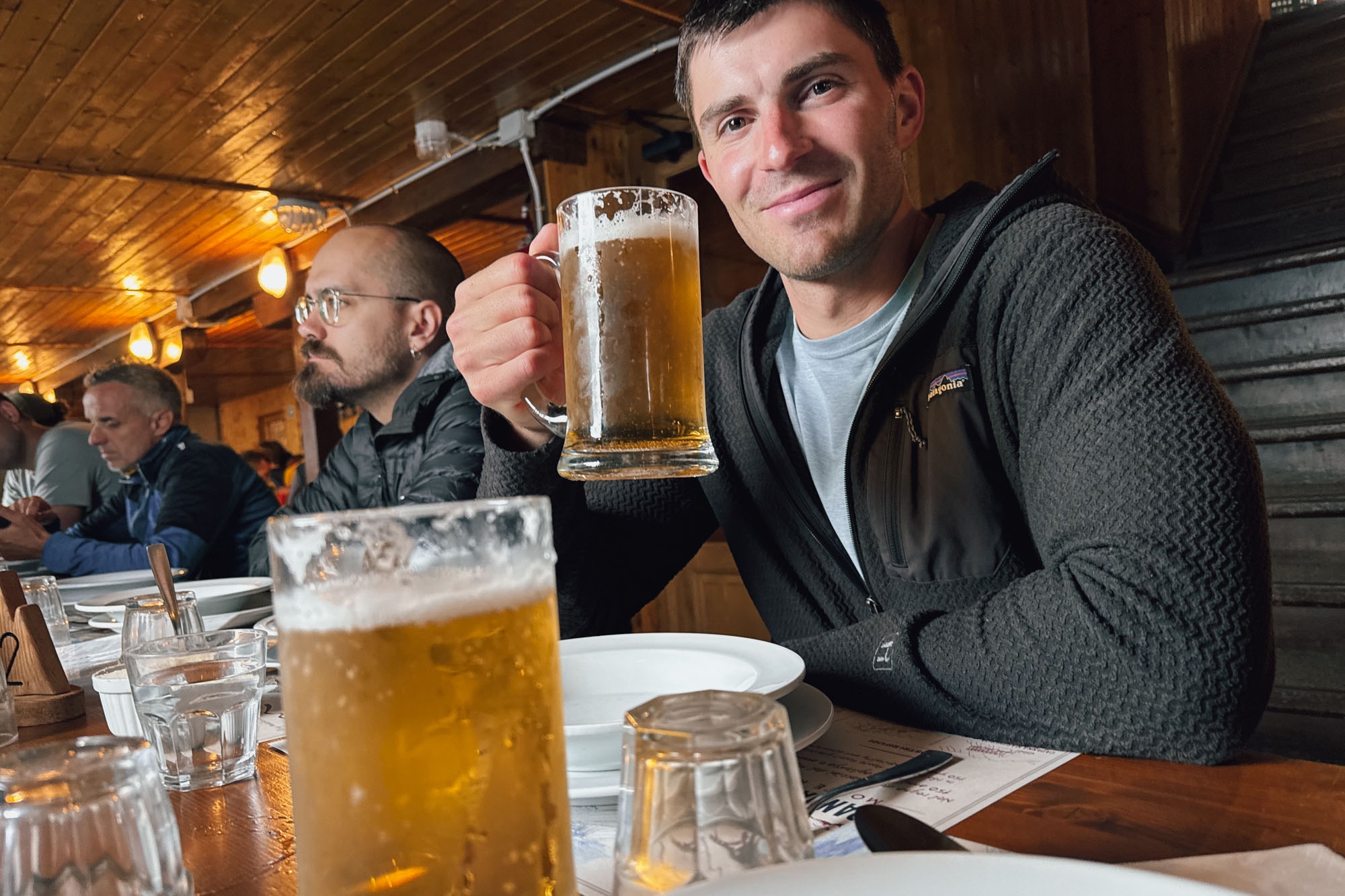
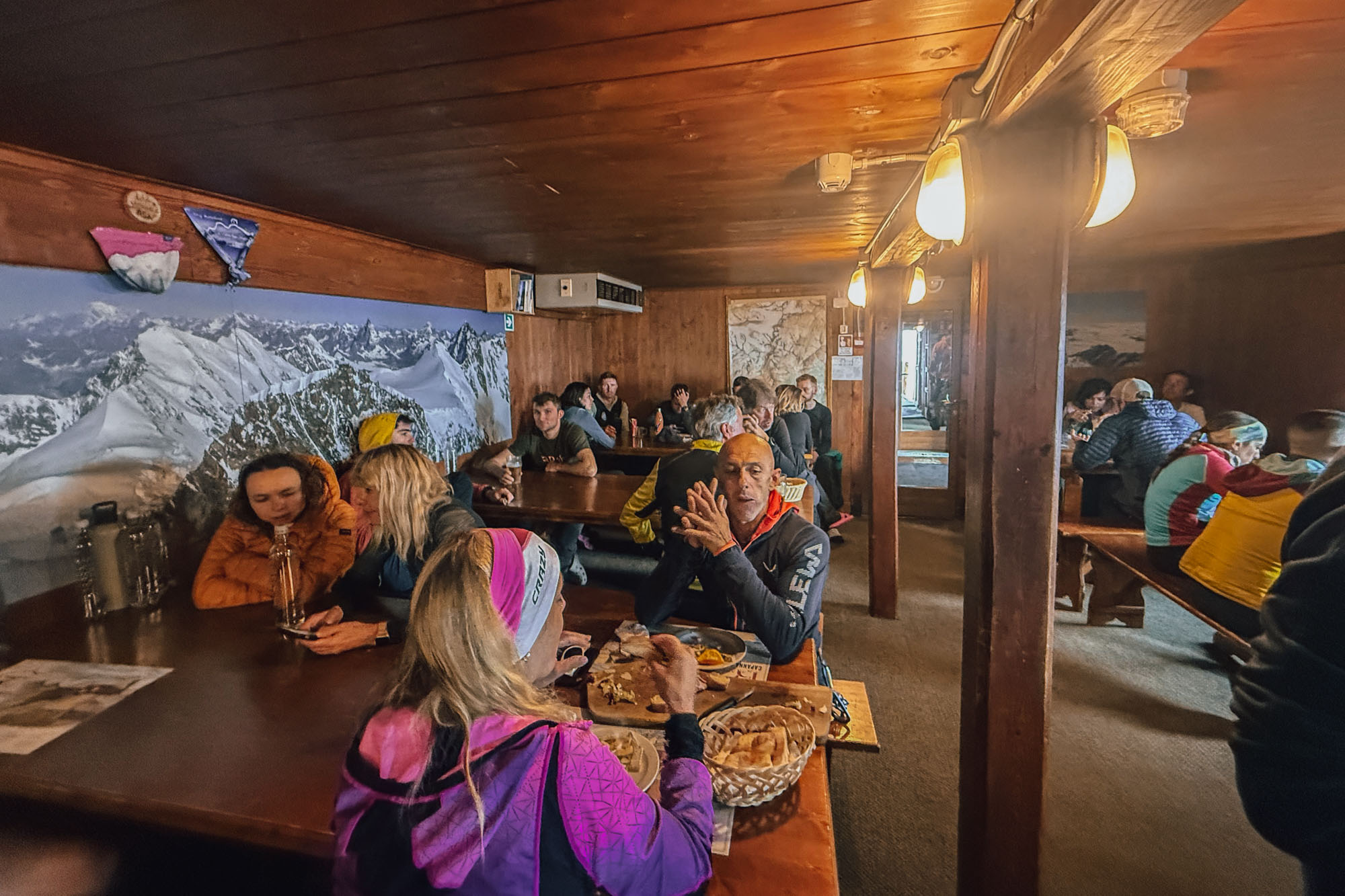
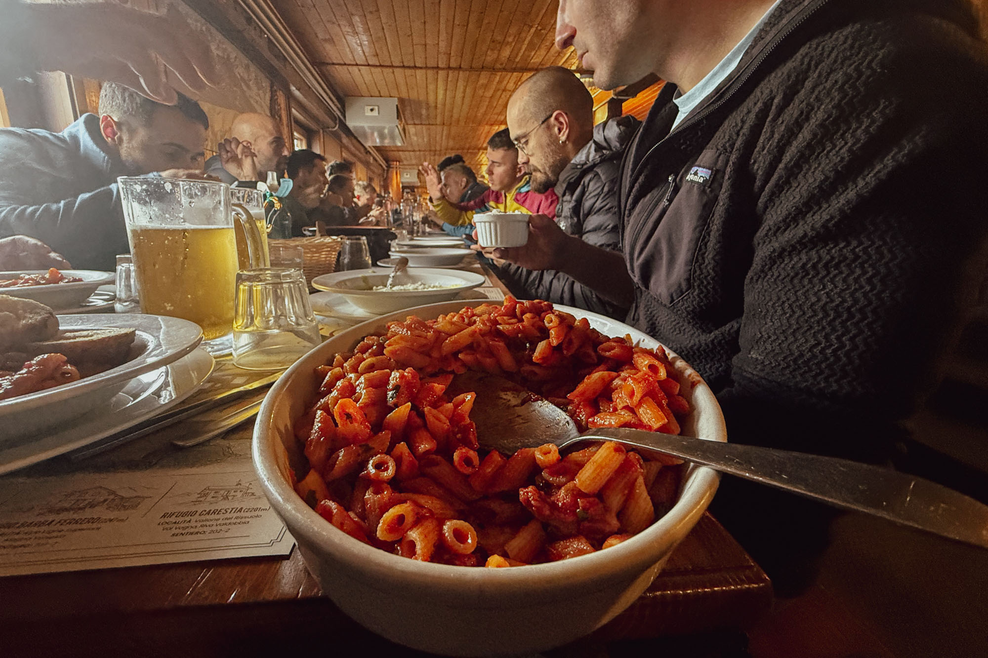
Aprés-dinner I found myself on the roof above a sea of glacier. Dinner had been a mass of climbers pressed into a room with a hubbub of Italian, French, German, Dutch, Spanish and the occasional hint of English. Three courses of food and the servers kept coming back and piling more onto empty plates. No climber left behind. No climber left hungry. On the roof a group of climbers gathered as the sun set. A cold breeze had followed the storm and for the first time I was wearing a puffy jacket. I was still riding my high after the perfect day. The awesome climbing had blended into a wonderful afternoon and evening and I sat staring into the mountains wanting to draw out the day as long as possible.
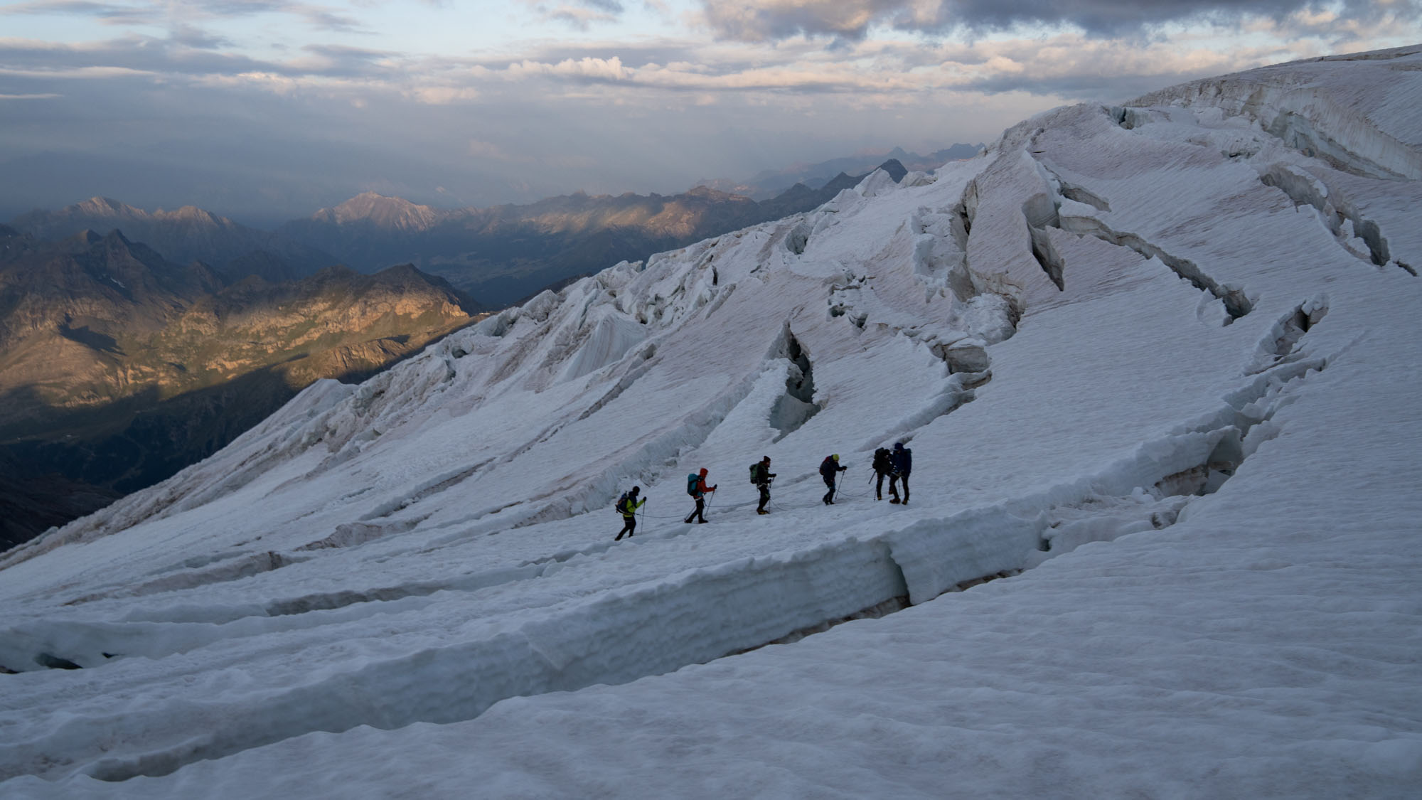
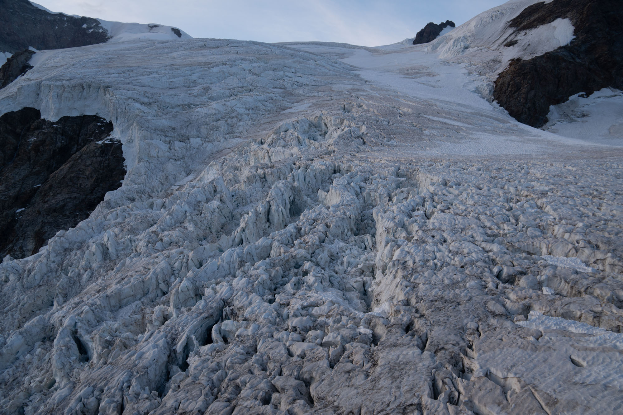
Dawn on the Lys glacier. The crevasses in July 2026 were quite large!
Day 4: Punta Parrot Traverse to Zumsteinspitze to Margherita Hut
Up early again and out the door with dozens of other climbers. We were in one of the most heavily trafficked mountaineering corridors of the world. The Gnifetti hut sleeps 176 people and the Rifugio Mantova (which is 700 ft lower and 30 minutes away) sleeps another 90 – and in the height of summer both were near full. Which meant we were sharing the trail with 100+ climbers. But the guides have it figured out. The tour hut takes you up and over a series of peaks with minimal backtracking and few bottlenecks. This keeps traffic flowing and travel is more like a ski tour in that climbers move in a general direction with short side quests up – and sometimes over – points along the way.
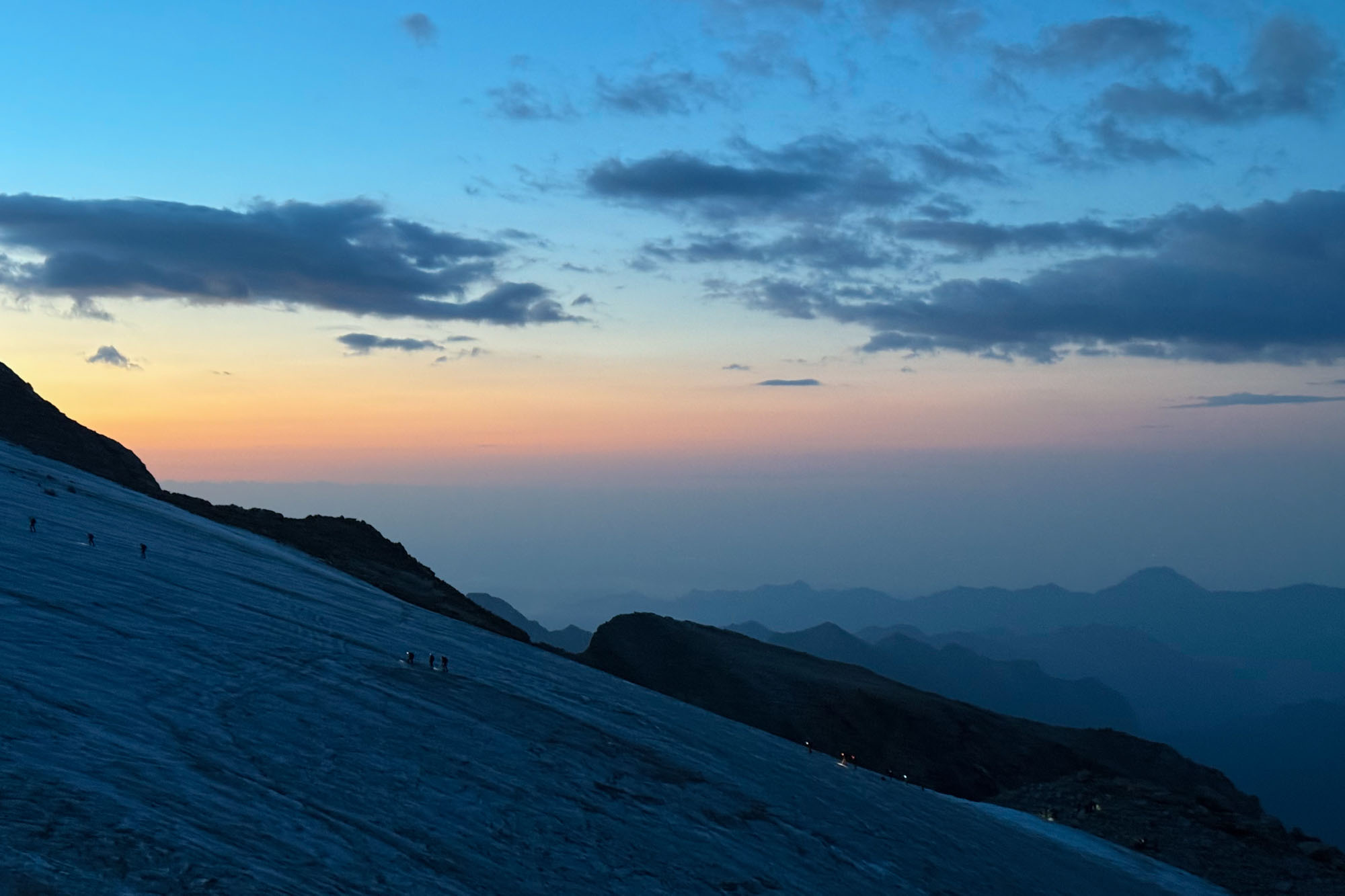
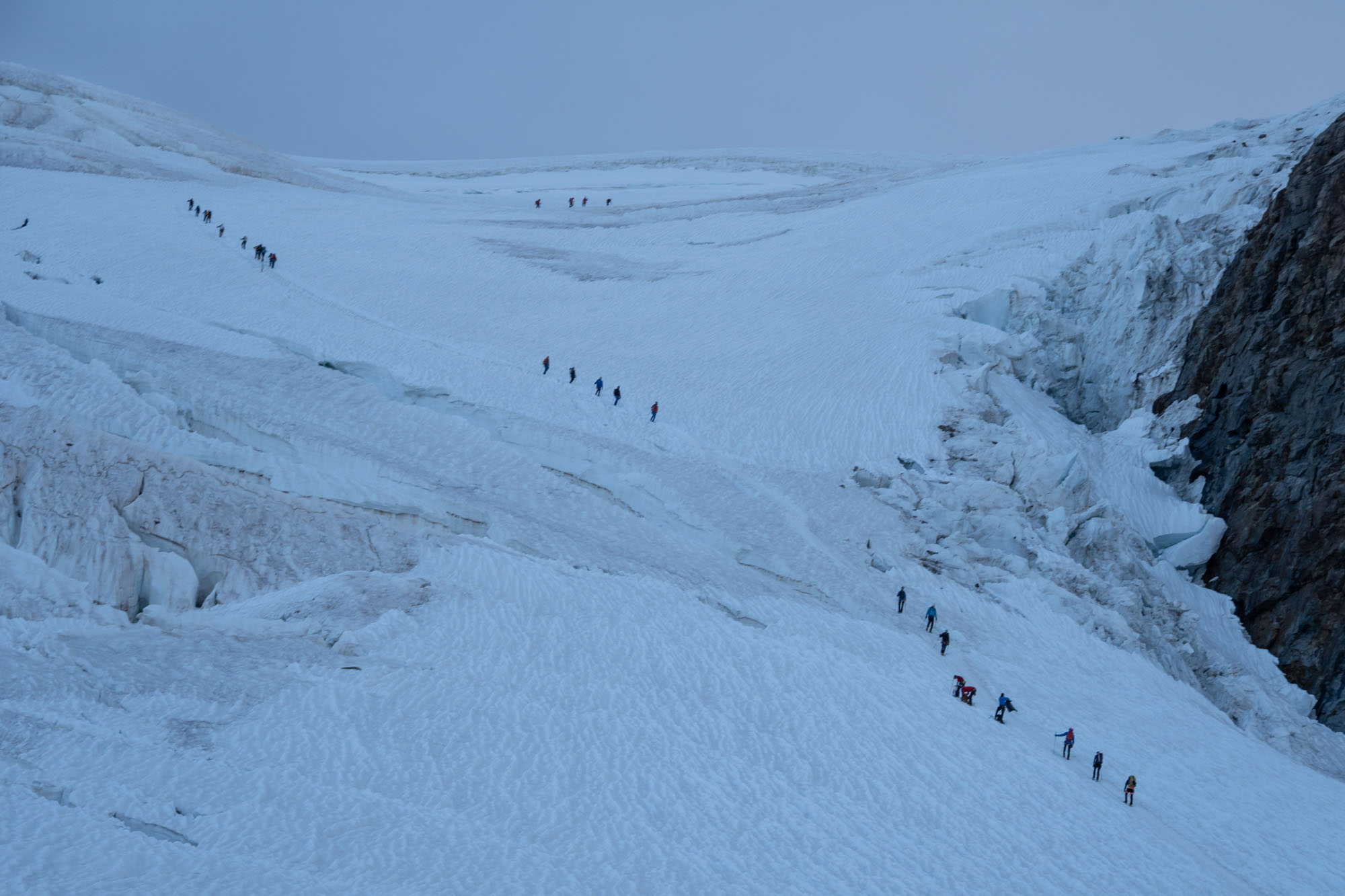
We jumped in the queue and began the trudge uphill. About 50 climbers were working their way up the glacier – but as we climbed the groups peeled off in different directions. Some towards Sella hut, some up Piramide Vincent and others moving to Margherita Hut. An hour and 1,500 ft later we were back at the base of Balmenhorn where we had been yesterday. At this point the wind picked up and the temperature plummeted so we donned some extra layers and continued on.
Our first climb was Corno Nero (the “Black Horn”) – a 14,180 ft exposed rib of rock rising out of the glacier. This peak features a 150′ pitch of moderate ice to an exposed rock traverse. We were soon at the base where there was a slight bottleneck here as some climbers were rapping down. We dropped our packs then Marco took all the ice screws, squeezed past the bottleneck and climbed the ice pitch to a rock ledge where he tied off and brought us up. We then traversed ledges to the summit where Marco anchored off on a statue of the Virgin Mary. The wind was howling and a thick cloud obscured all views and we opted for a quick turnaround. We quickly snapped some photos and then reversed the route.
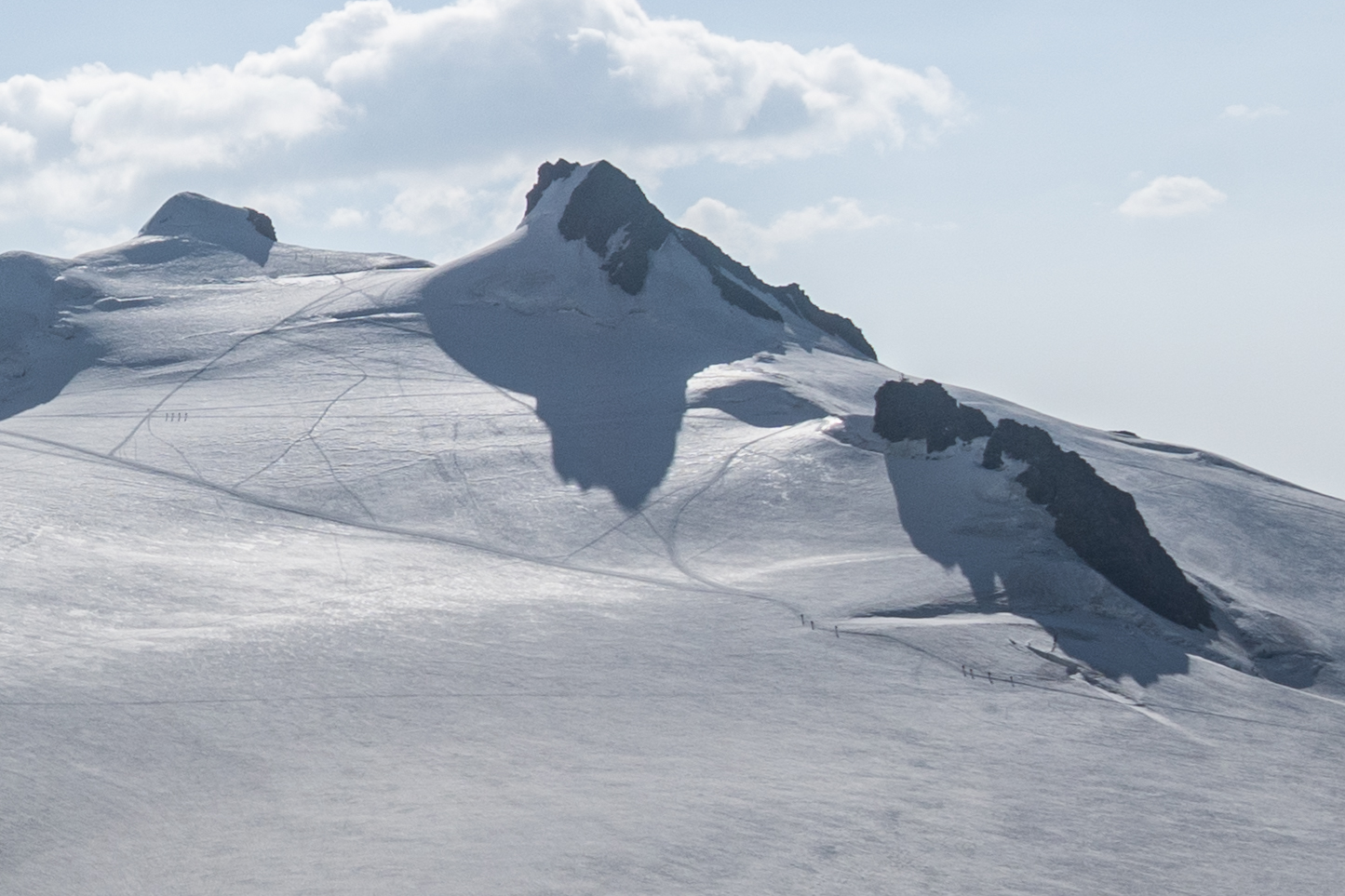
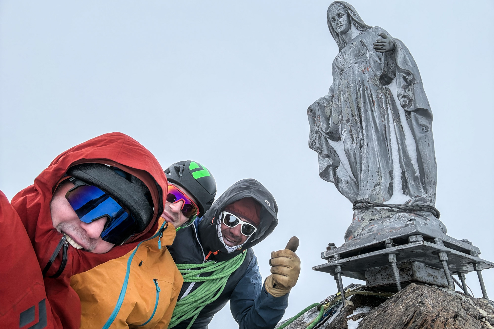
Once down we grabbed our packs and continued on. A short hike across the glacier put us at the base of Ludwigshöhe (14,245 ft) which we ascended bad descended via easy snow slopes. Once off the peak we climbed over a ridge and officially crossed the divide from the Lys glacier (Italy) to the Grenzgletscher (Switzerland). We kept going and 15 minutes of travel brought to the base of the Punta Parrot where a short pitch of since put us on a wonderful sharp ridge line (check out this amazing Thomas Crauwels photo) that we took to the summit.
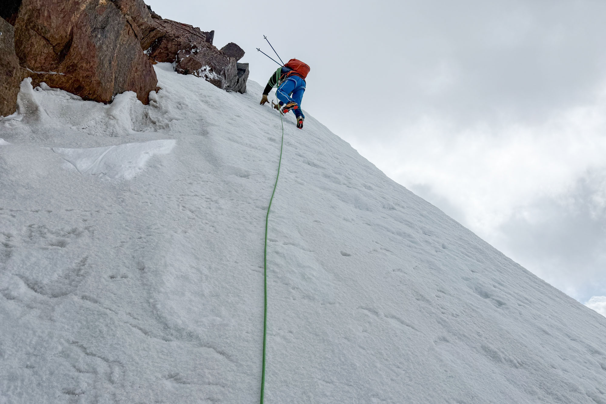
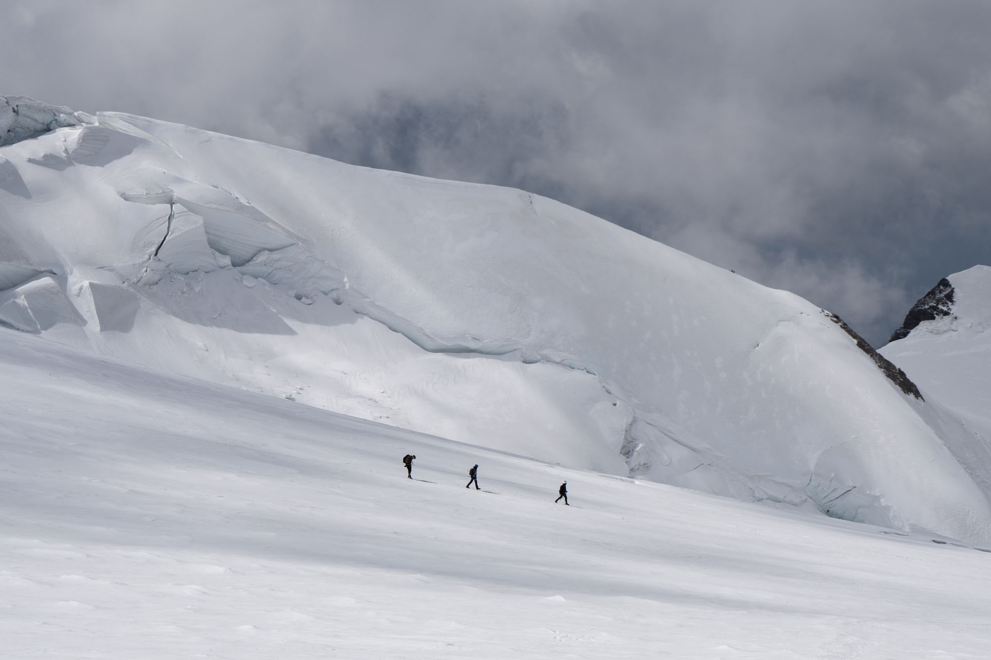
The wind had finally relented and the top of Punta Parrot was pleasant – which was nice because the descent was a sharp ridge with an immense drop to the Alagna Valsesia directly underfoot. We down climbed the ridge carefully and then hiked out to basin directly underneath the Margherita Hut. Continuing with the tour we climbed to gain the high col directly north of the hut – Colle Gnifetti – where we regrouped for our next climb. A quick drink of water at the col then we dropped our packs and started up the East Ridge of Zumsteinspitze (14,970 ft).
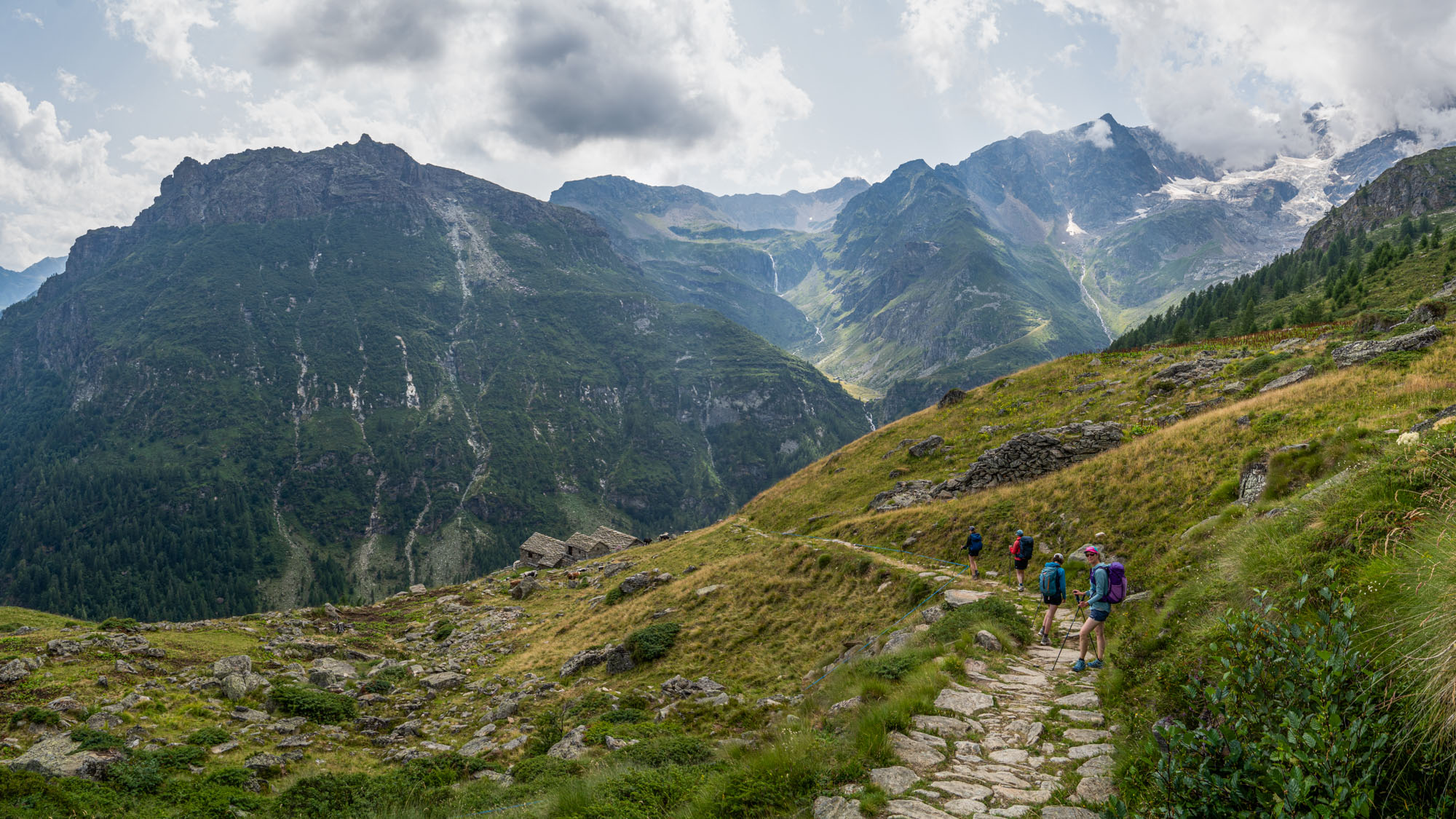
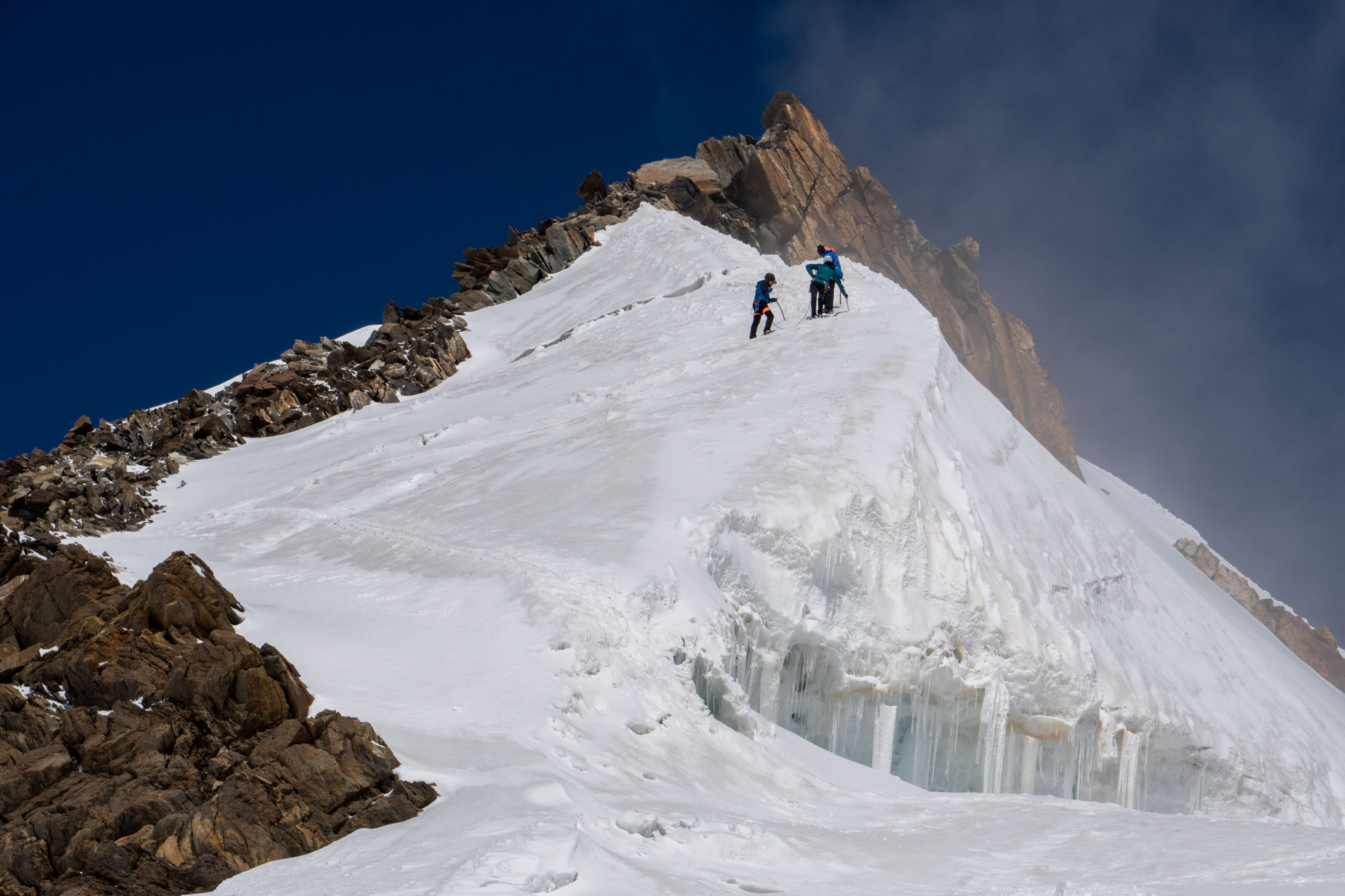
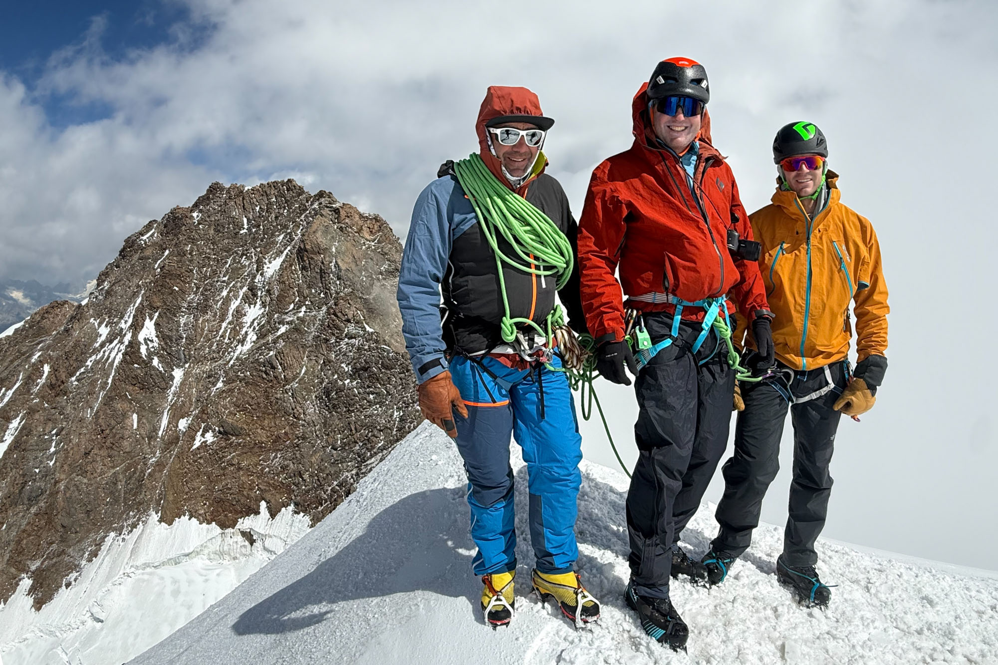
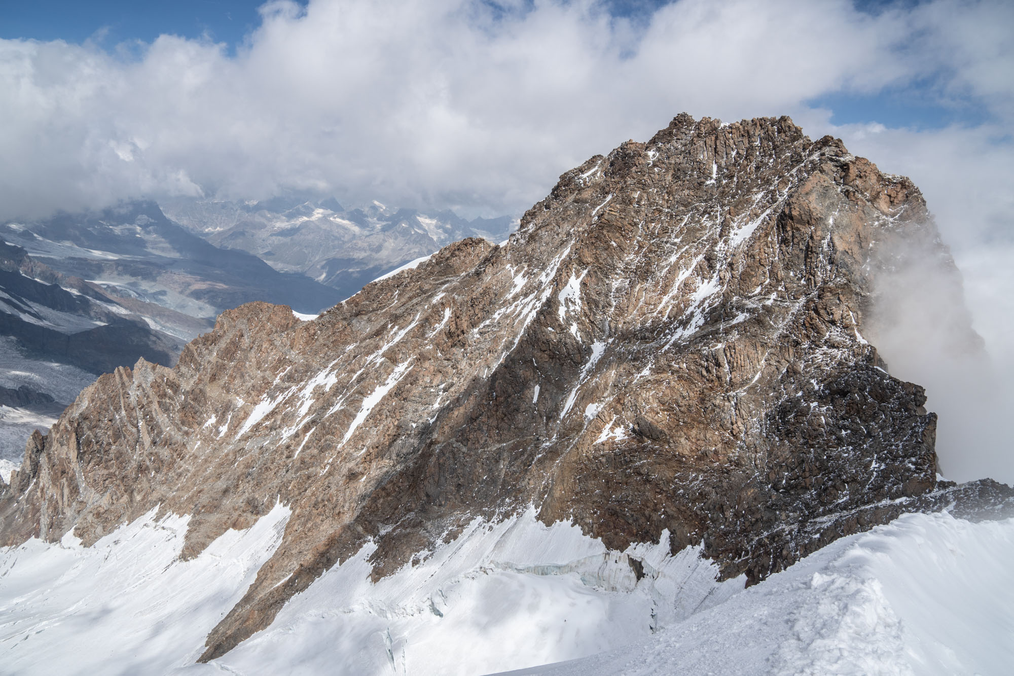
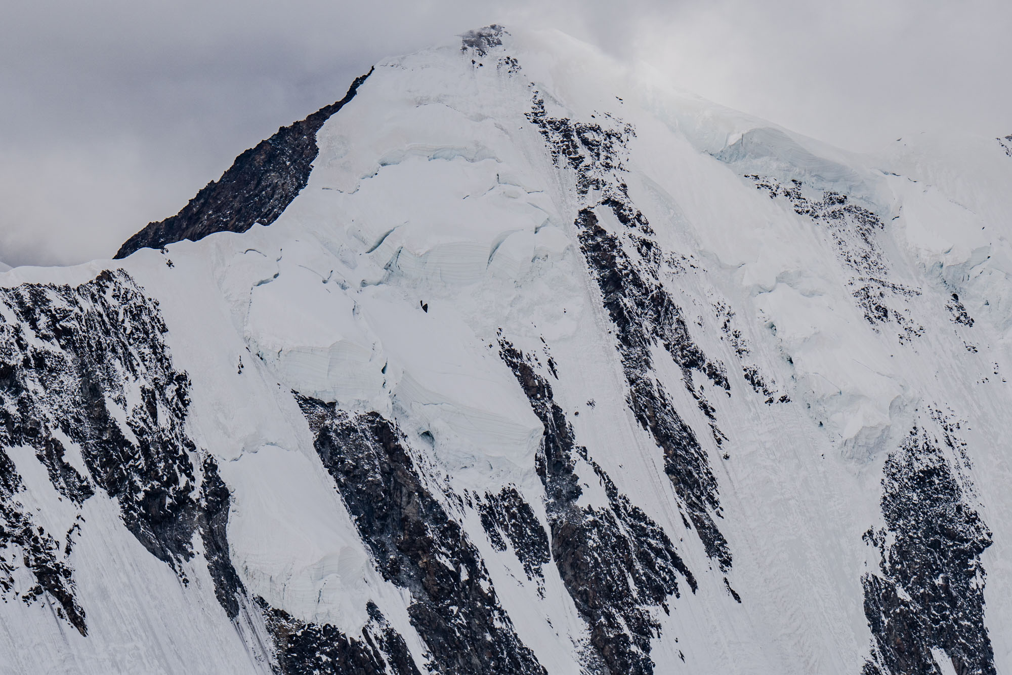
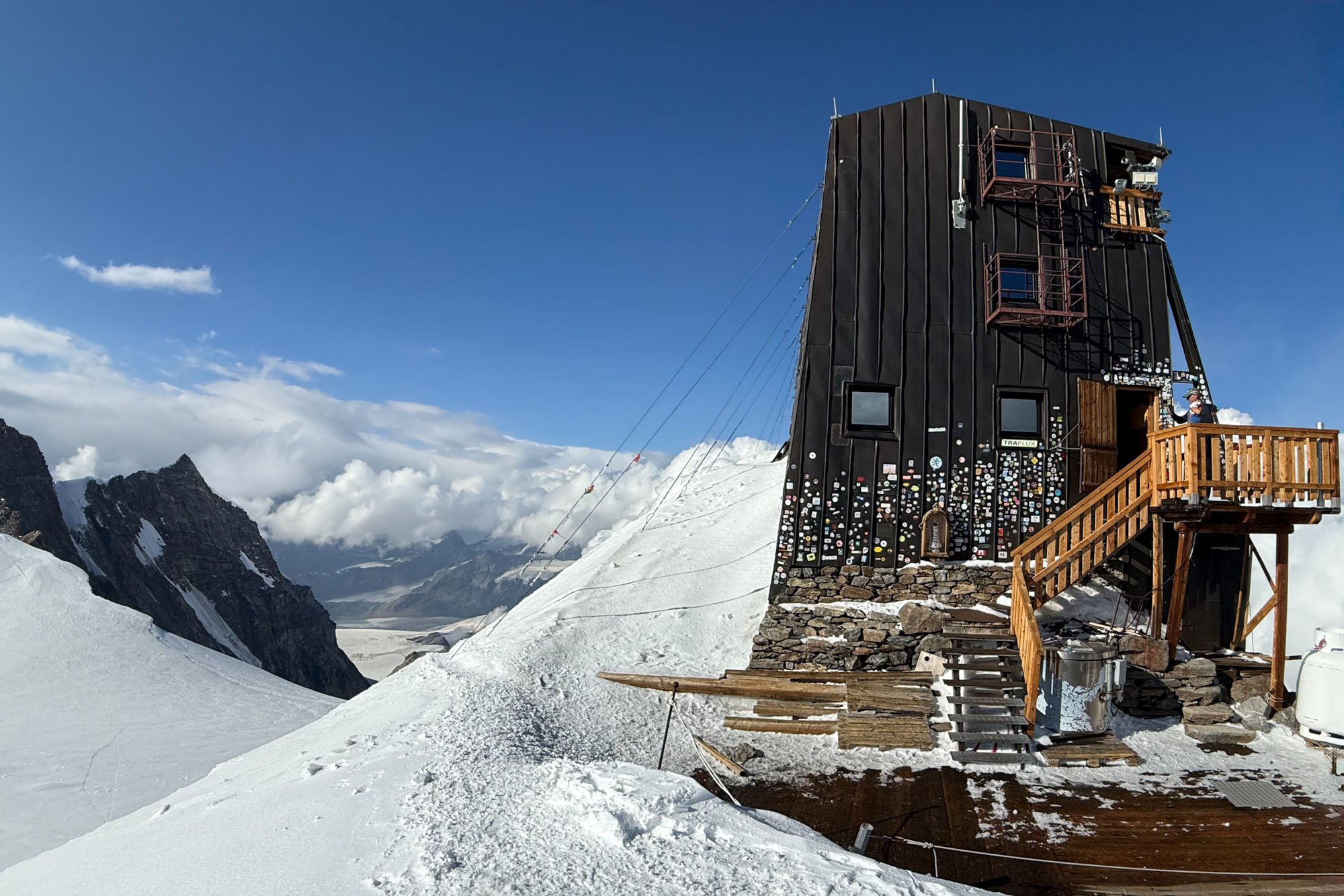
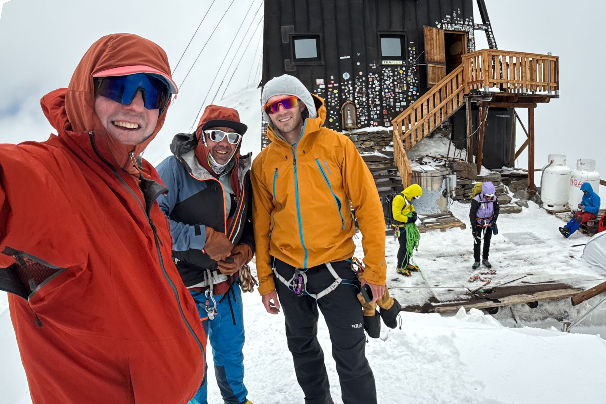
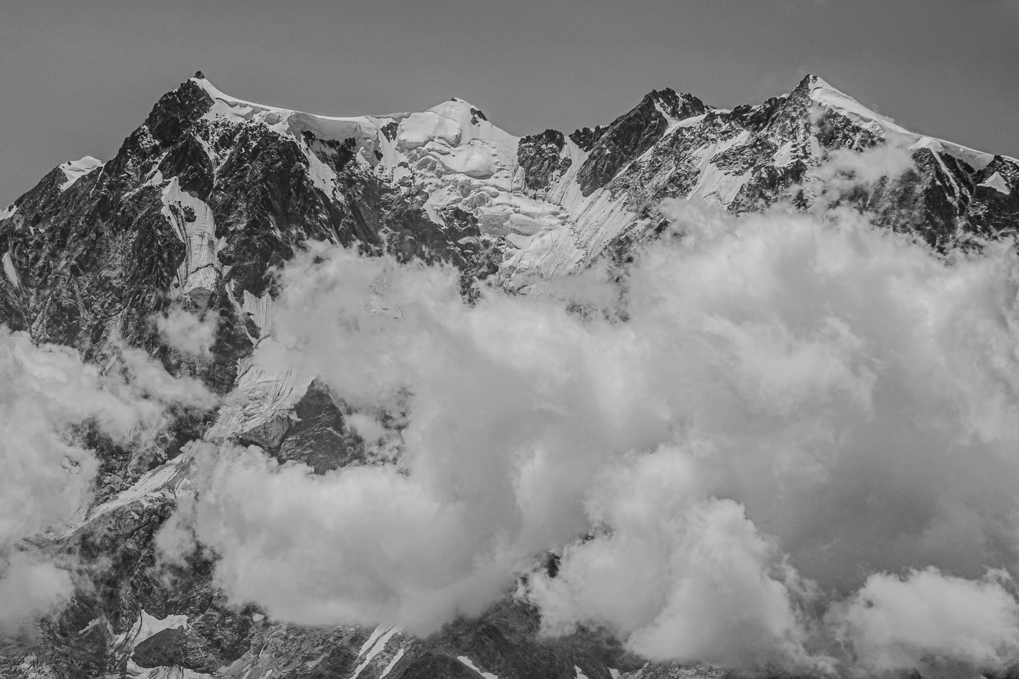
Zumsteinspitze started with a short ridge of snow capped by another giant bergschrund (by now we were calling it the “spaghetti-bergschrund tour”). A short pitch of steep snow above the ‘schrund lead to a rock scramble and eventually the summit. Our last true summit and the weather had cleared to perfection. We stood in the sun staring at Dufourspitze and the North Face of Lyskamm and looking down where we would travel tomorrow.
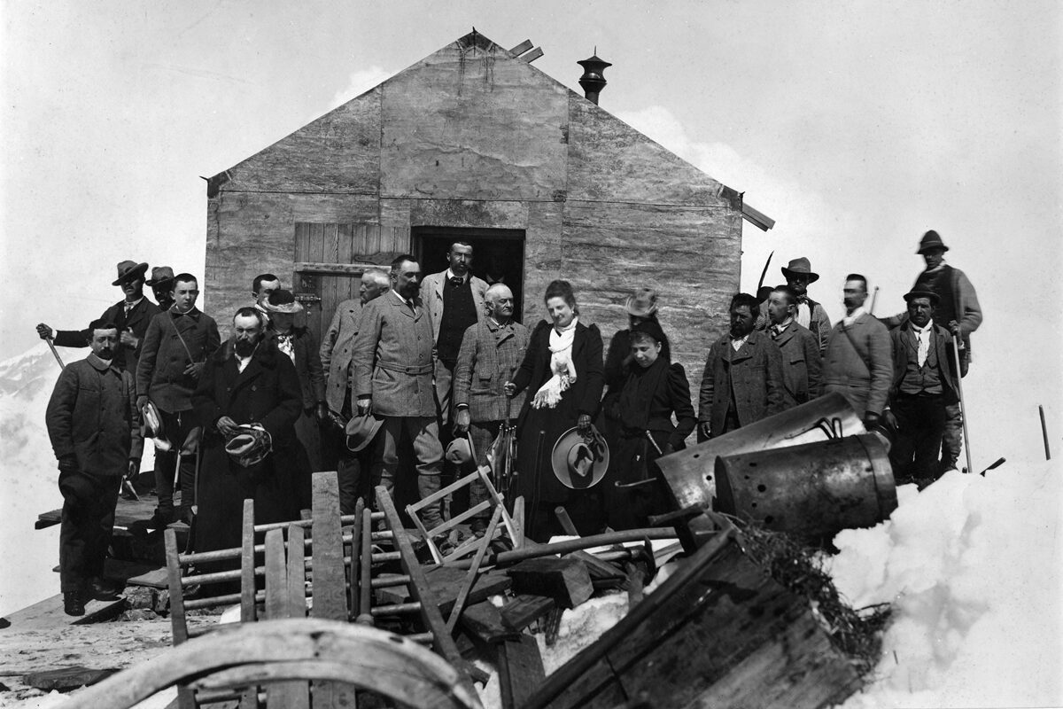
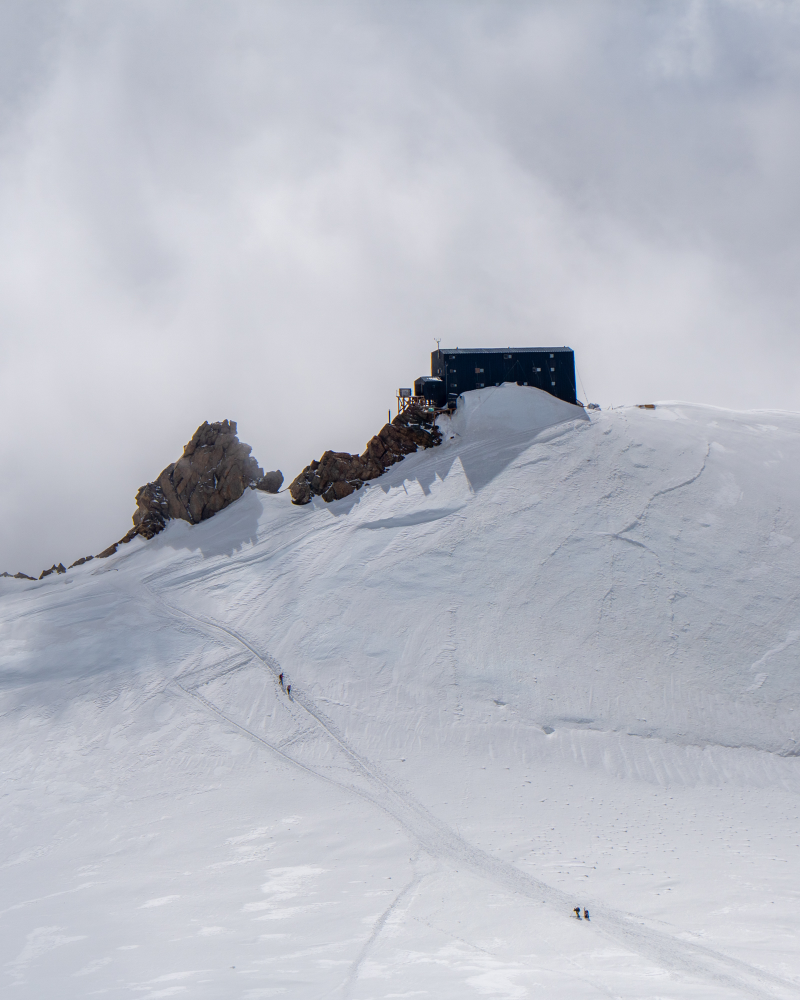
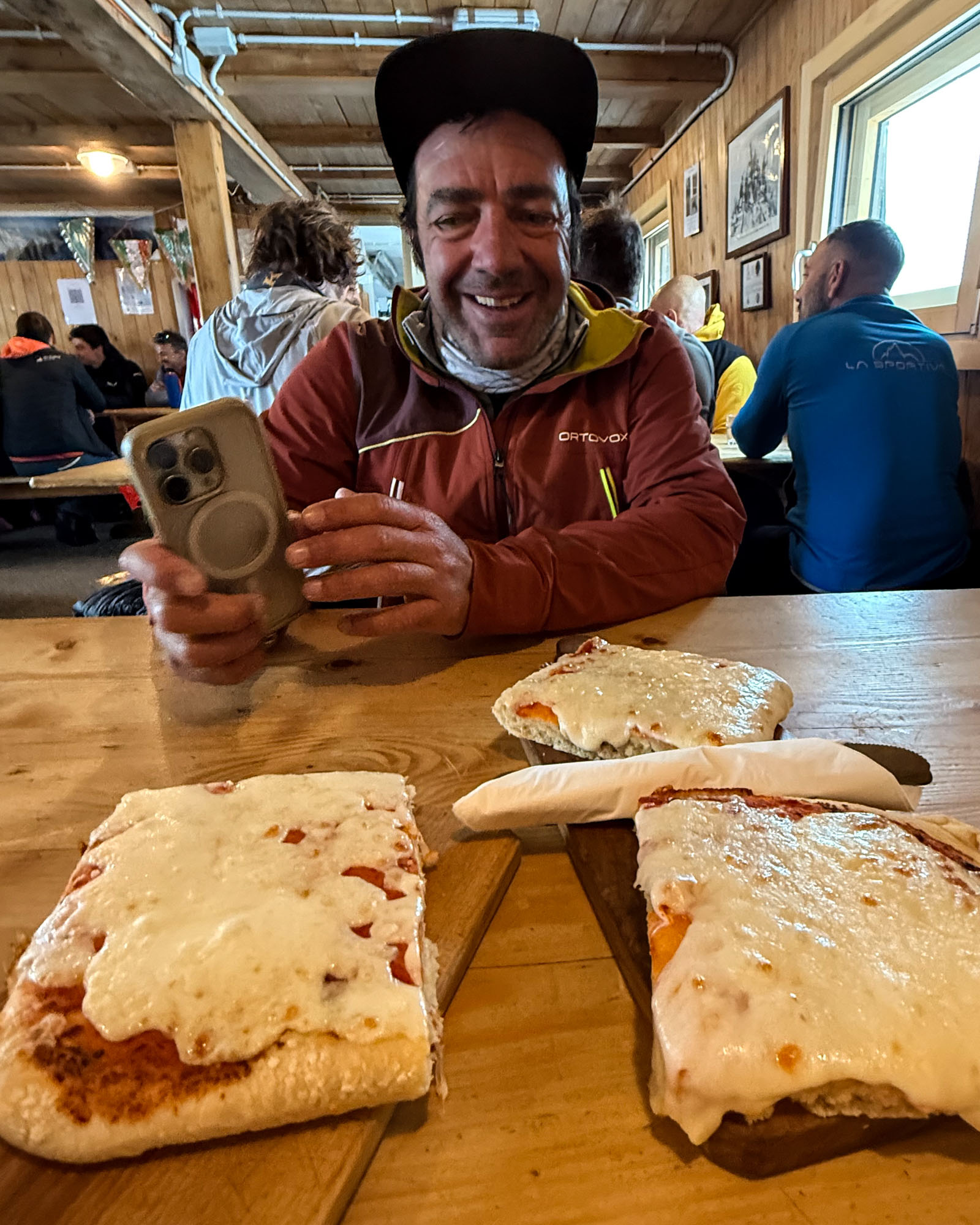
Then down to our packs and up to the Margherita Hut, which at 14,941is the highest building in Europe and taller than everything in the surrounding area – except for Dufourspitze which is 30 ft taller. The hut first opened in 1893 and the opening was attended by Queen Margherita of Savoy. Queen Margherita, renowned for her adventurous spirit (she had had previously stayed at the Théodul Hut and climbed Breithorn), insisted on climbing to the refuge for its inauguration and spending the night. The hut bears her name – as does Margherita Pizza – which a hut specialty. We ordered slices for lunch and toasted the Queen with cappuccino (no beer – drinking beer at 14,900 is not advisable).
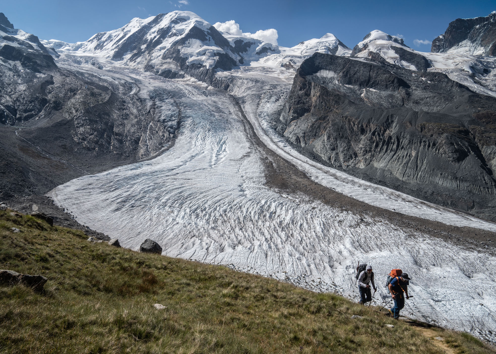
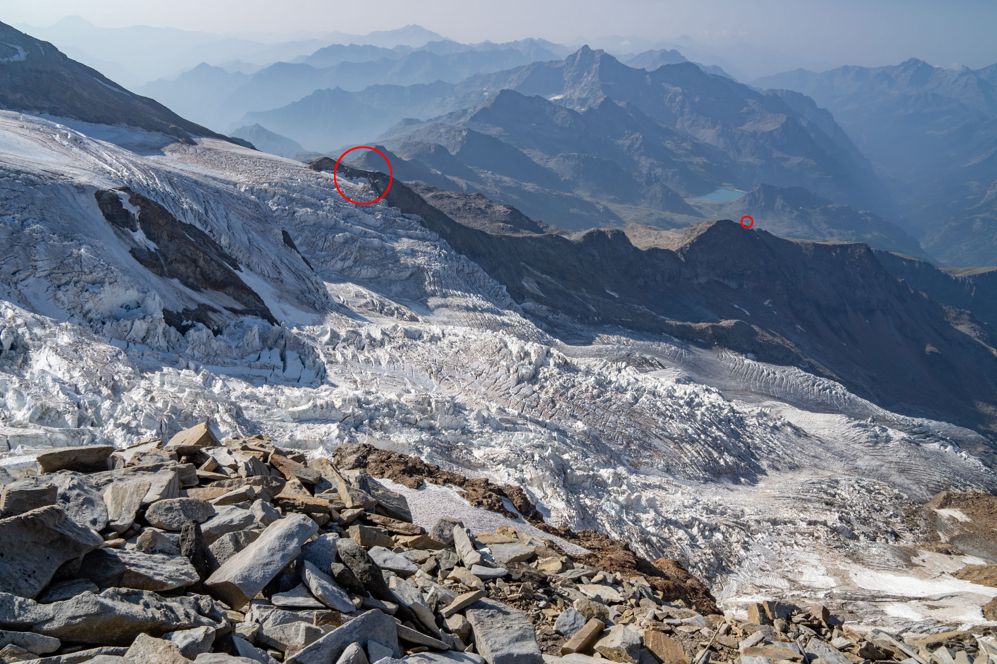
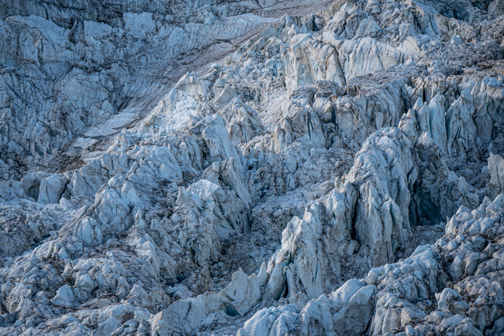
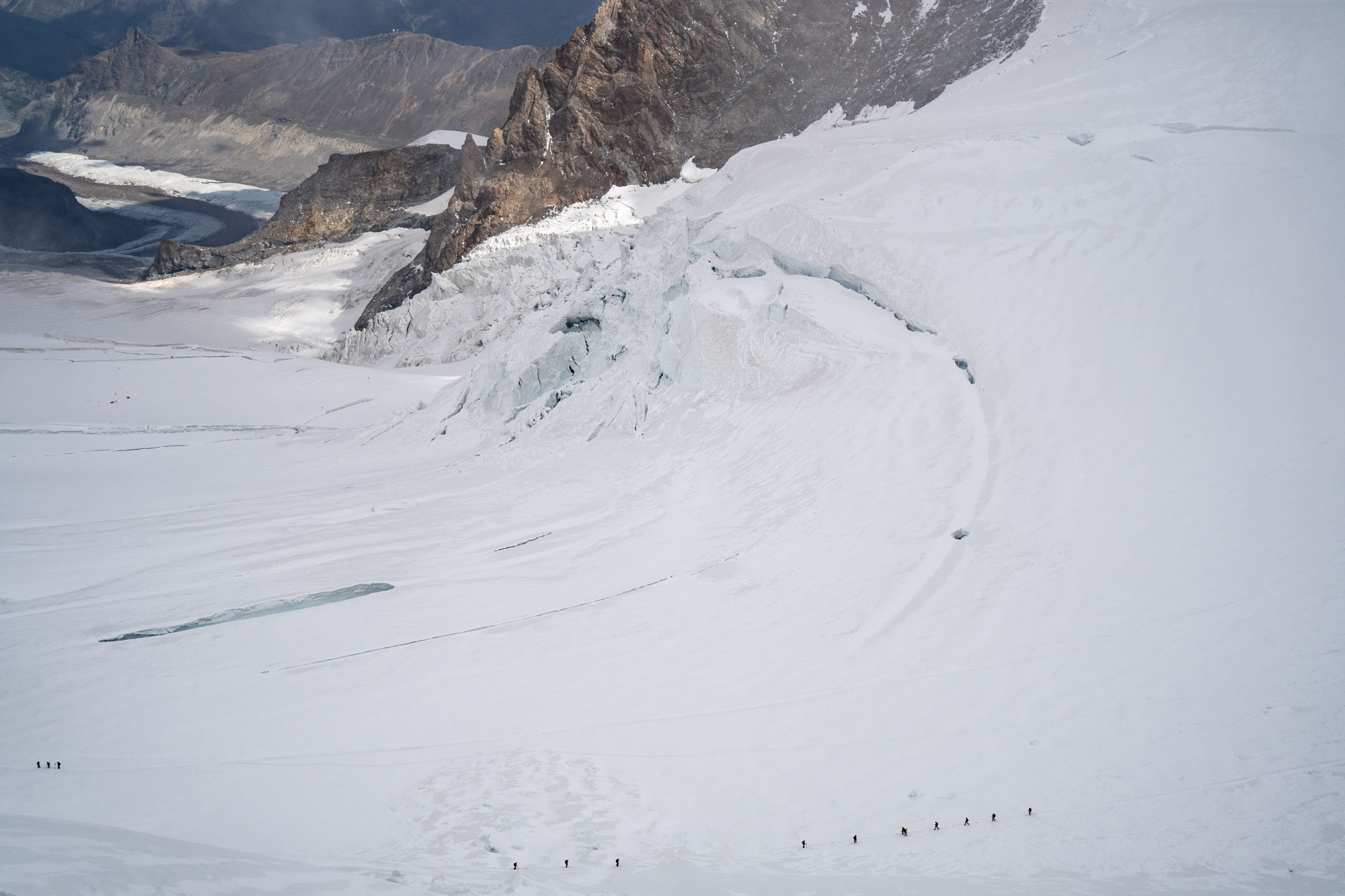
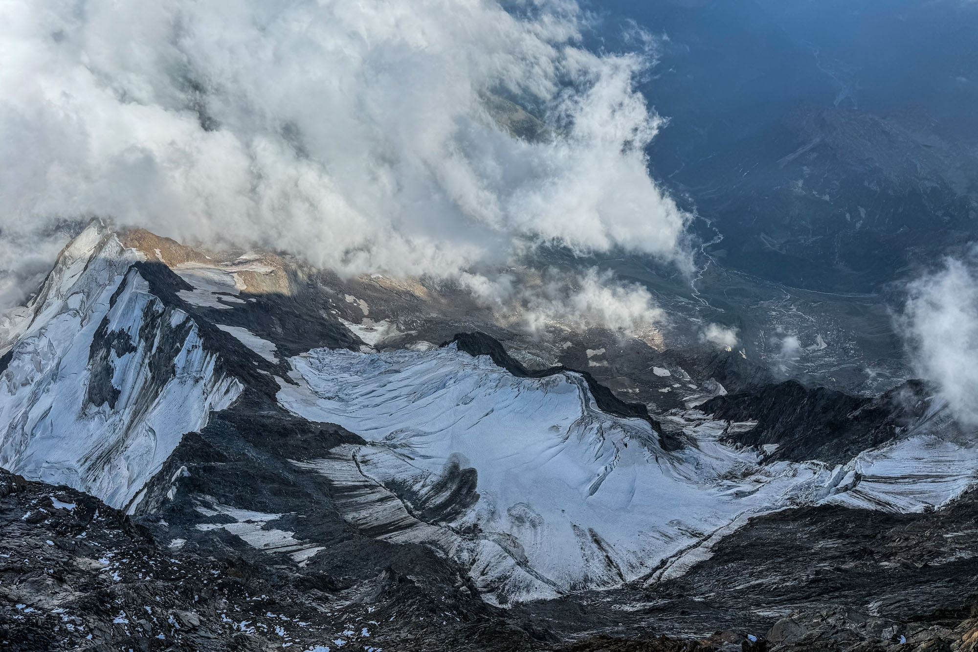
Looking back at the Grenzgletscher. Our route started at 5am in the top left corner and descended this maze of crevasses.
Day 5: Descending Grenzgletscher to Zermatt
I didn’t really sleep at the Margherita Hut. I tossed and turned and woke up with a splitting headache which is to be expected when sleeping above 14K. The alarm went off at 4:00 and shortly afterward we met for breakfast and then began gearing up for the day. Glacier conditions were bad but Marco has texted with another guide the night before and gotten a report and GPX track so we knew it was passable. Likewise the Austrian team, whom we had been leapfrogging with a for a couple of days, was descending so we all left together for safety in the event of a crevasse fall.
It was cold and windy and I donned all my layers for the first time and set out bundled and toasty. A short steep careful down climb took us to the lower glacier and then we started moving quickly down glacier. All around us headlamps bobbed in the darkness as climbers split of in multiple directions for the days objectives.
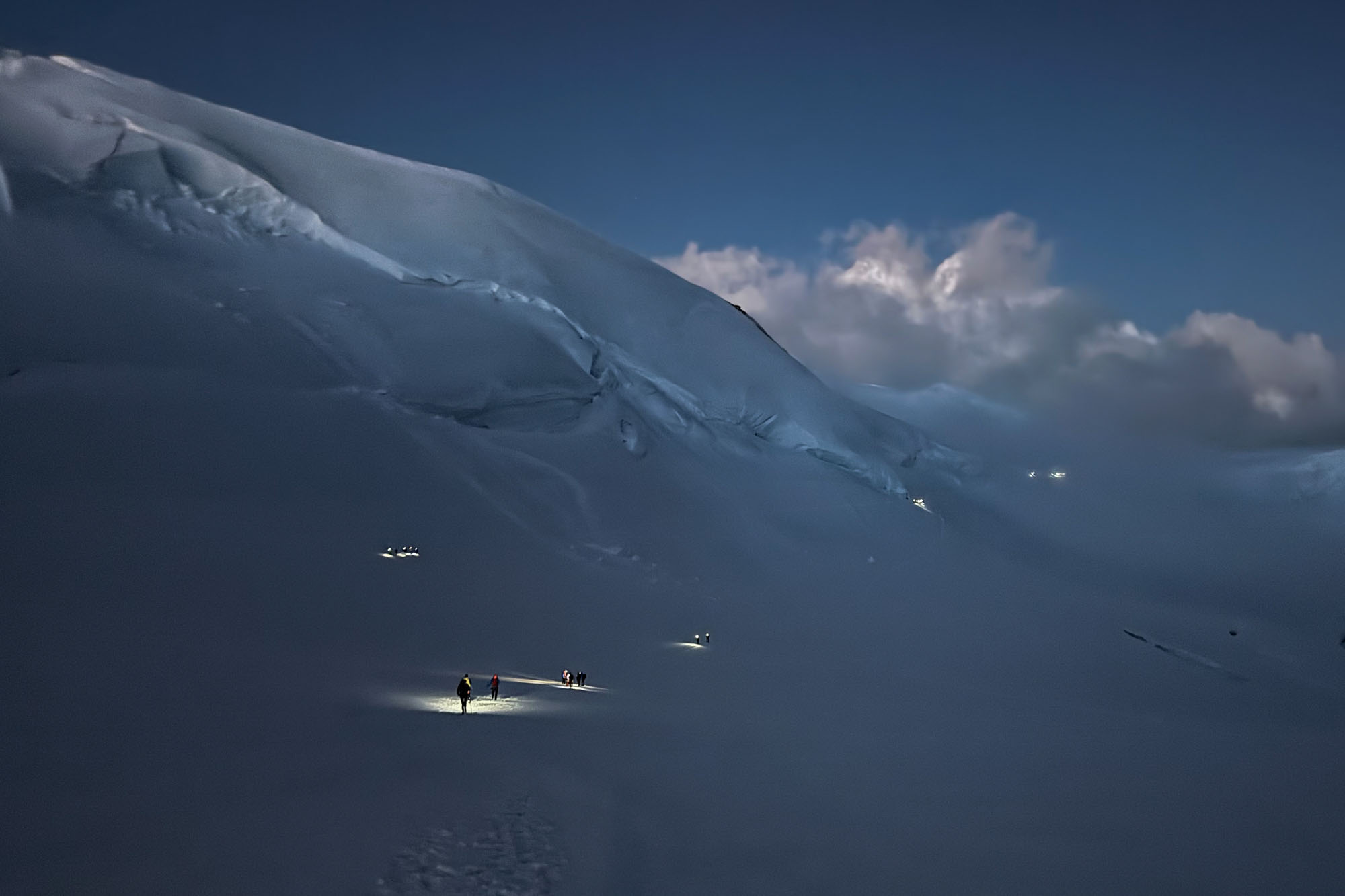
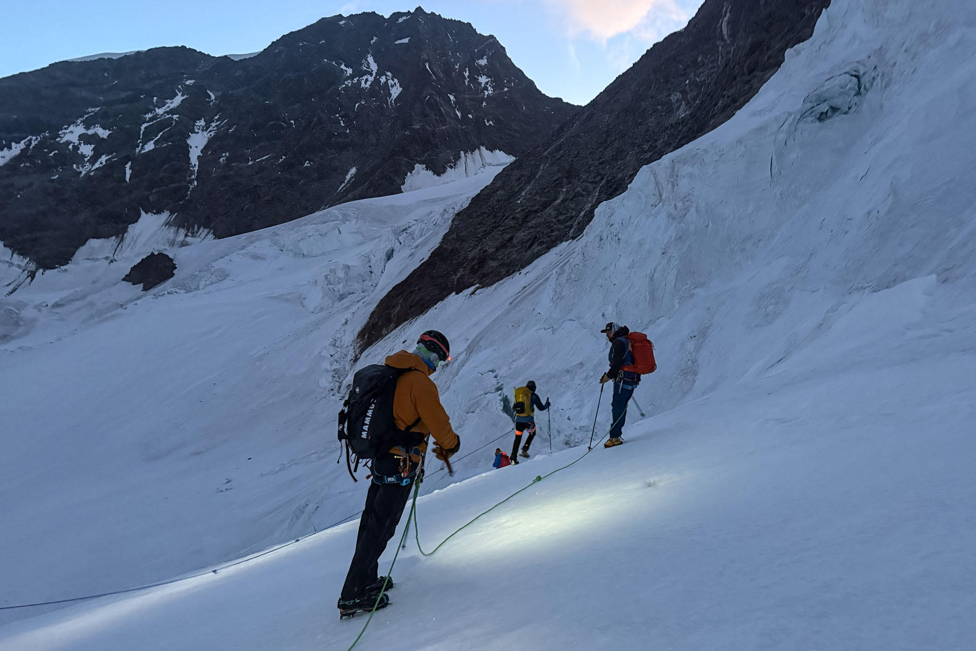
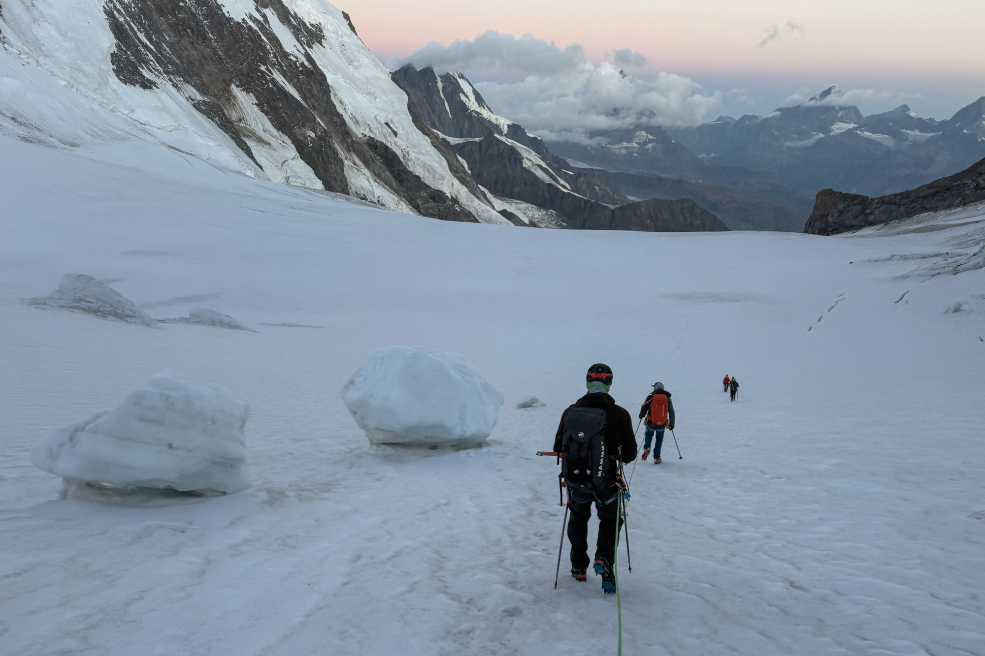
The first 20 minutes was an easy broad glacier with minimal crevasses and the snow was crisp so we made good time. After a bit the wind started slacking off and I asked to stop to remove my puffy – however Marco wanted to stay close to the Austrian team so we kept moving fast.
We reached the turn off from the main trail and began moving down the Grenzgletscher towards Zermatt. A few minutes later we reached the first ice fall. A maze of crevasses pushed us far right against a wall with seracs balanced precariously. Below it was a huge crevasse that stretched almost all the way across the route. Both teams stacked up for safety and a tiny bridge provided safe passage. Once across we jofed down the slope to limit our time under the seracs.
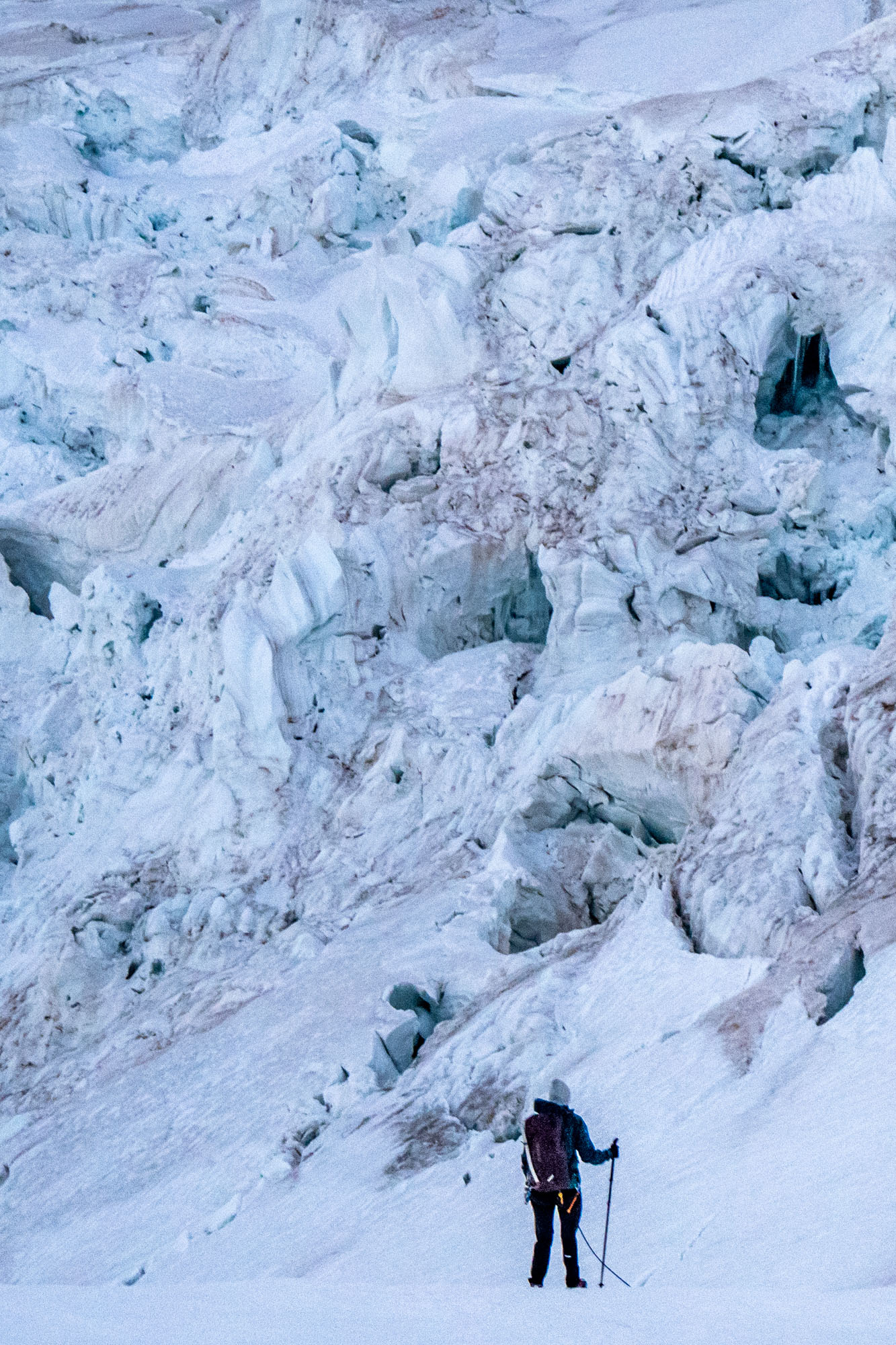
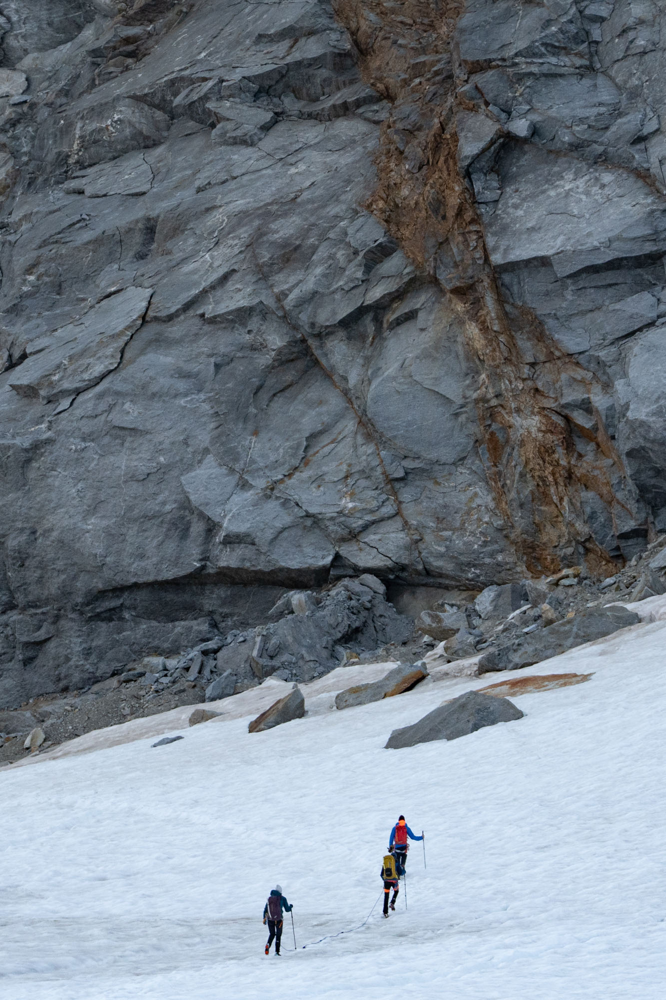
We regrouped and take a short break in a basin between the first and second icefalls. The sun was rising and the North Face of Liskamm began to turn pink. I pulled off my puffy and drank some water and then we set off again. The next drop forced us to move left where we were exposed to icefall from the other direction. Marco began jogging slowly and we cantered along past giant ice boulders that had recently rolled down. We continued with the fast pace until out into the relative safety of the flats where we once again stopped for a short breather.
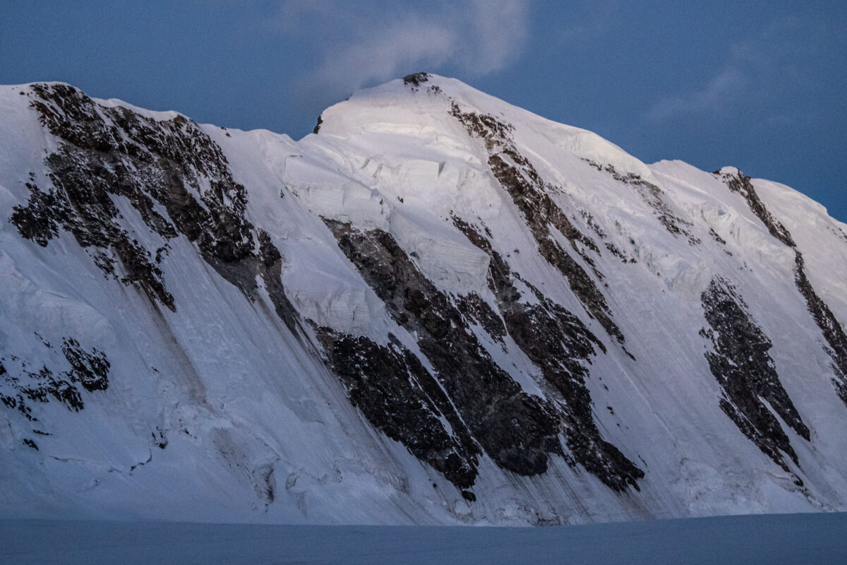
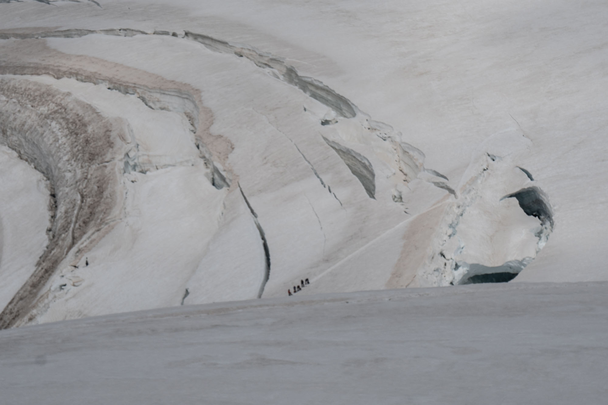
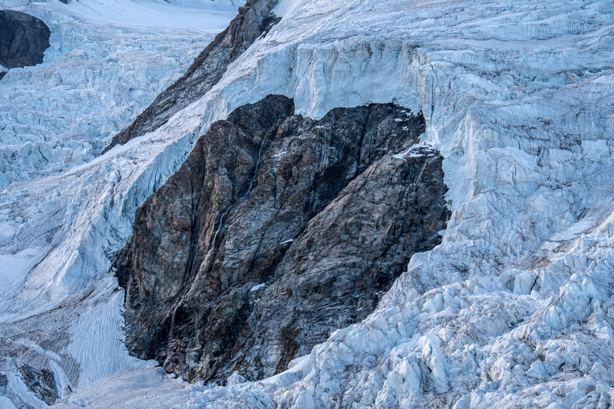
A hour an half in we crossed the firn line and the glacier pinched to less than a half wide between the North Face of Liskamm and the West Ridge of Dufourspitze and then rolled steeply into an icefall for 1,000 ft. Everything was shattered as if someone picked up the entire glacier and then dropped it. The left side of the icefall was less steep – but huge crevasses spanning the entire width made it impassable. The right side rolled steeply but a barely passable route wound through the maze of holes. We dropped into the icefall and began picking our way through the maze.
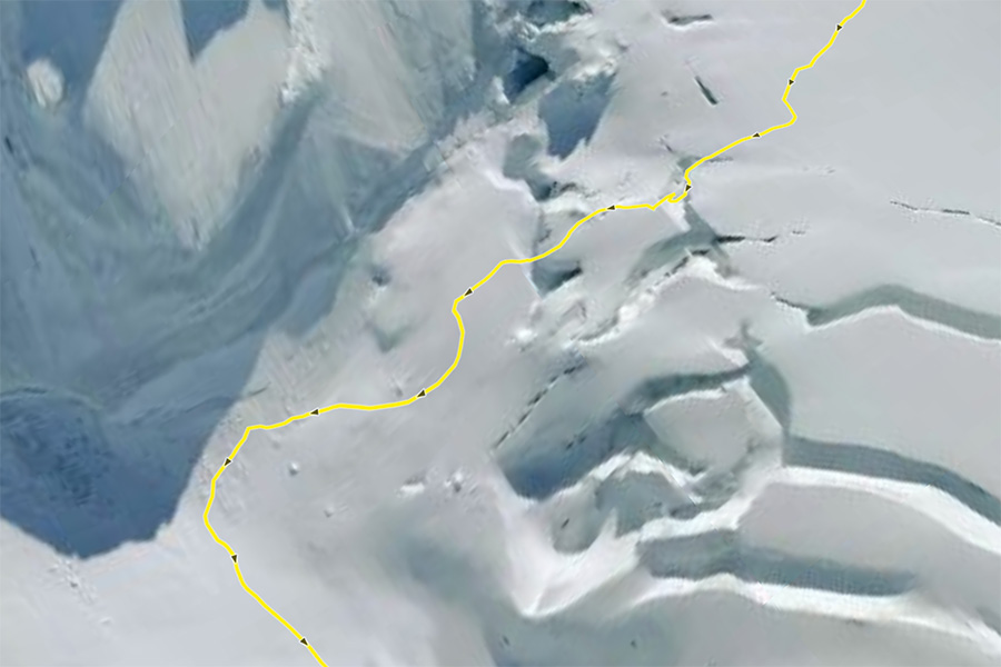
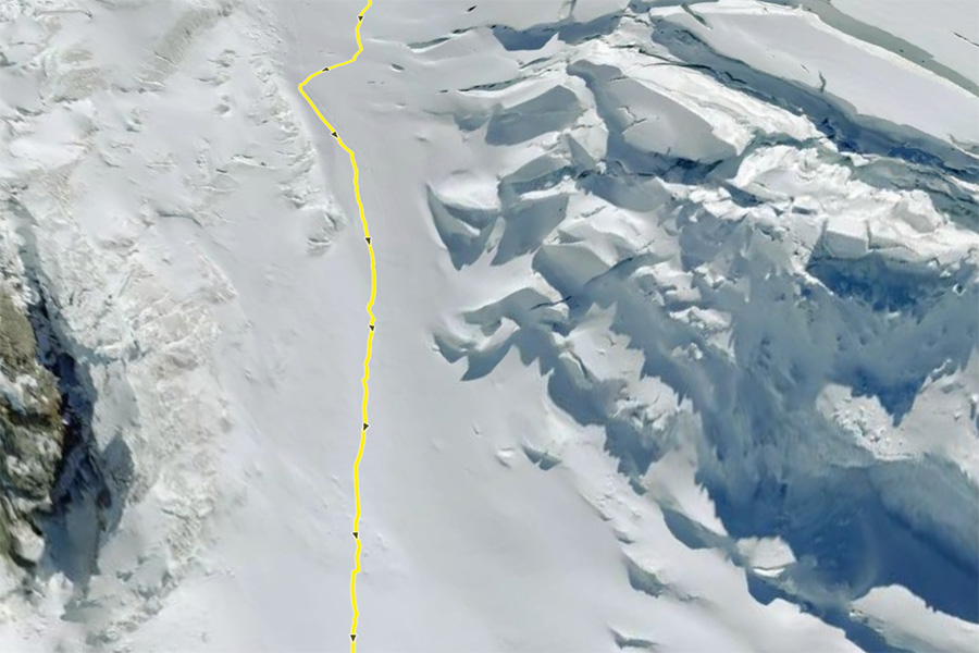
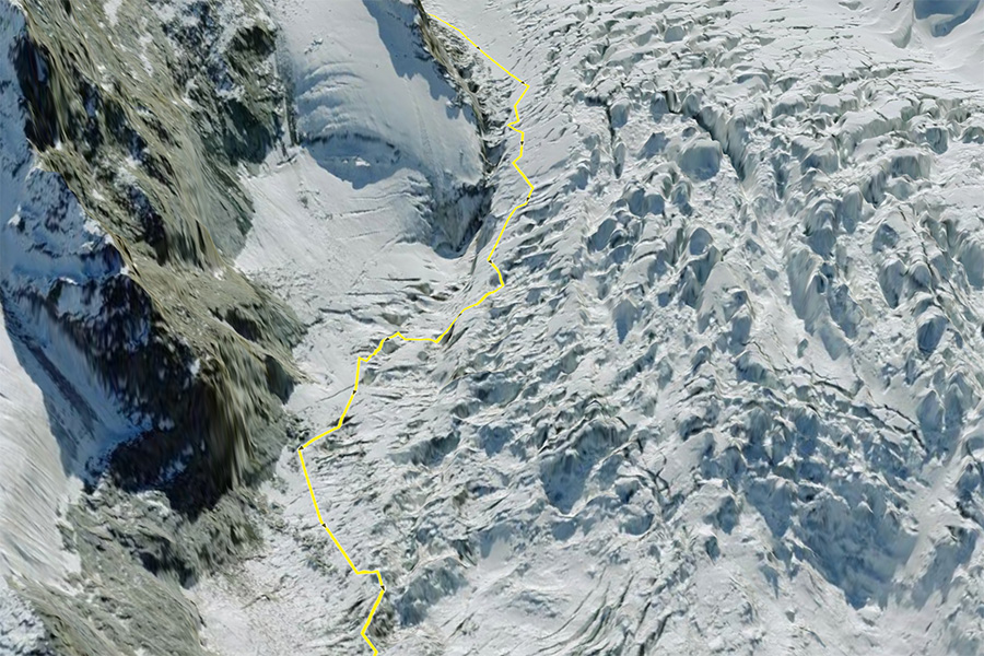
I have been through a handful of crappy icefalls (like the Bossons, Redoubt and Blackburn) and each time I pass through them I tell myself never again – yet here I was once again. The descent is 1,000 ft in less than a mile and much of that time was spent working our way down ribs of ice with 50+ ft drops under our toes. There were forced box jumps across chasms and drops where I had to fall to a narrow rib of ice that I trusted my crampons would grip. There were sidewalks that narrowed to catwalks that ended with an ice axe swing to a block of ice and front point kicks to pull me across. The maze went on forever.
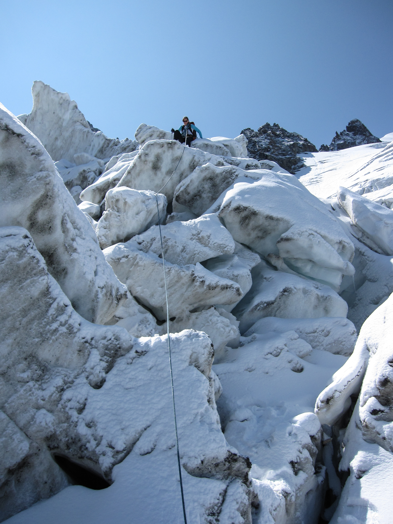
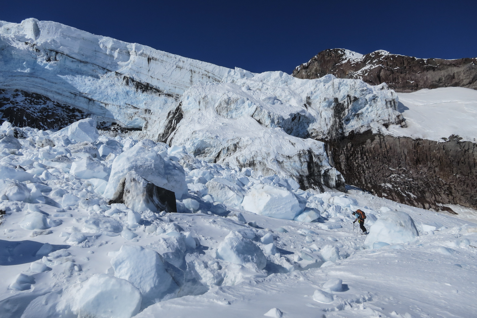
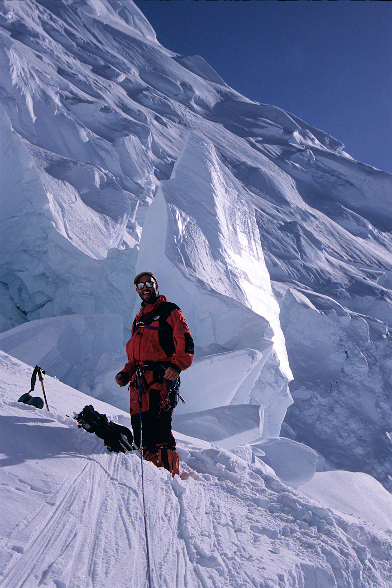
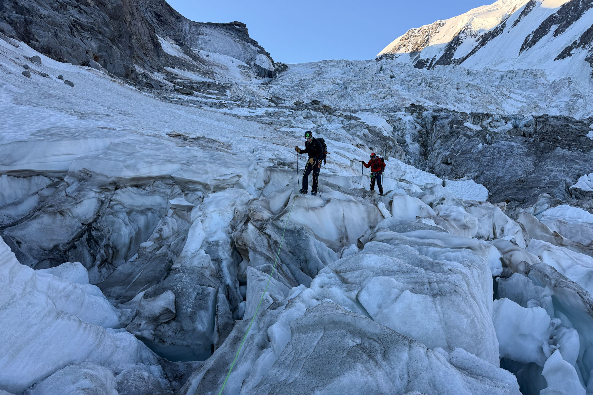
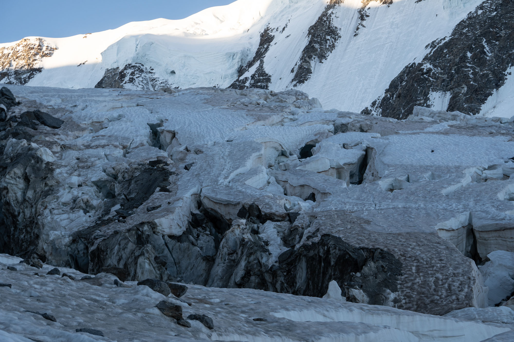
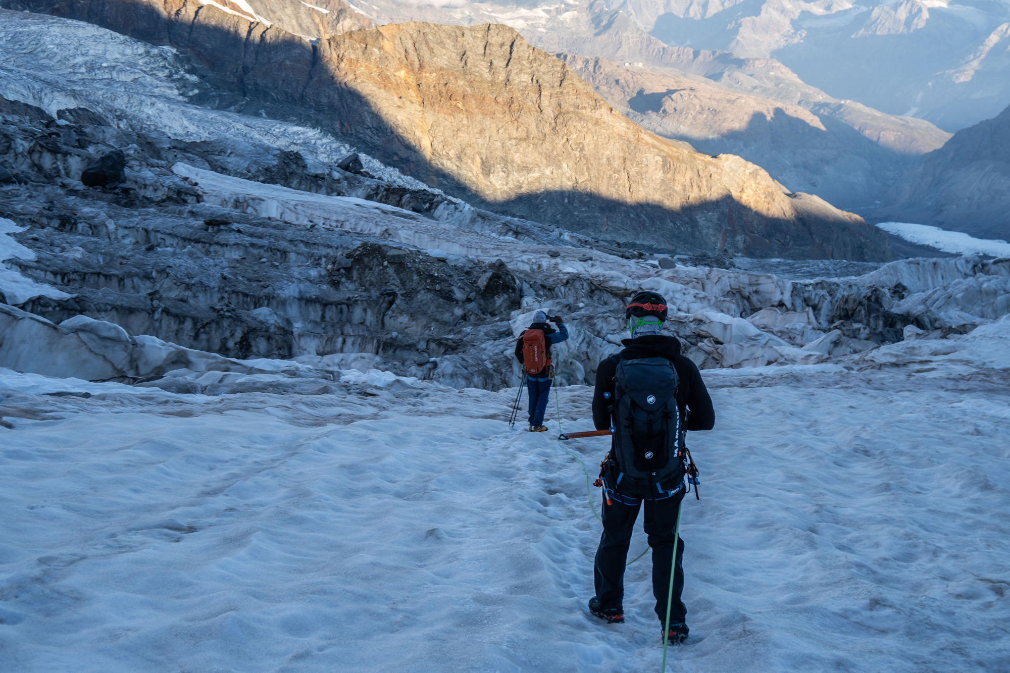
In retrospect this section only took us 45 minutes – but time has a funny way of moving differently in scenarios like this and by the time we were near the end I was mentally exhausted. Then the final obstacle – a steep down climb through crumbling blocks. We tiptoed across a ledge, balanced our way down a melting band of rock and then ww were off the icefall and onto the flats.
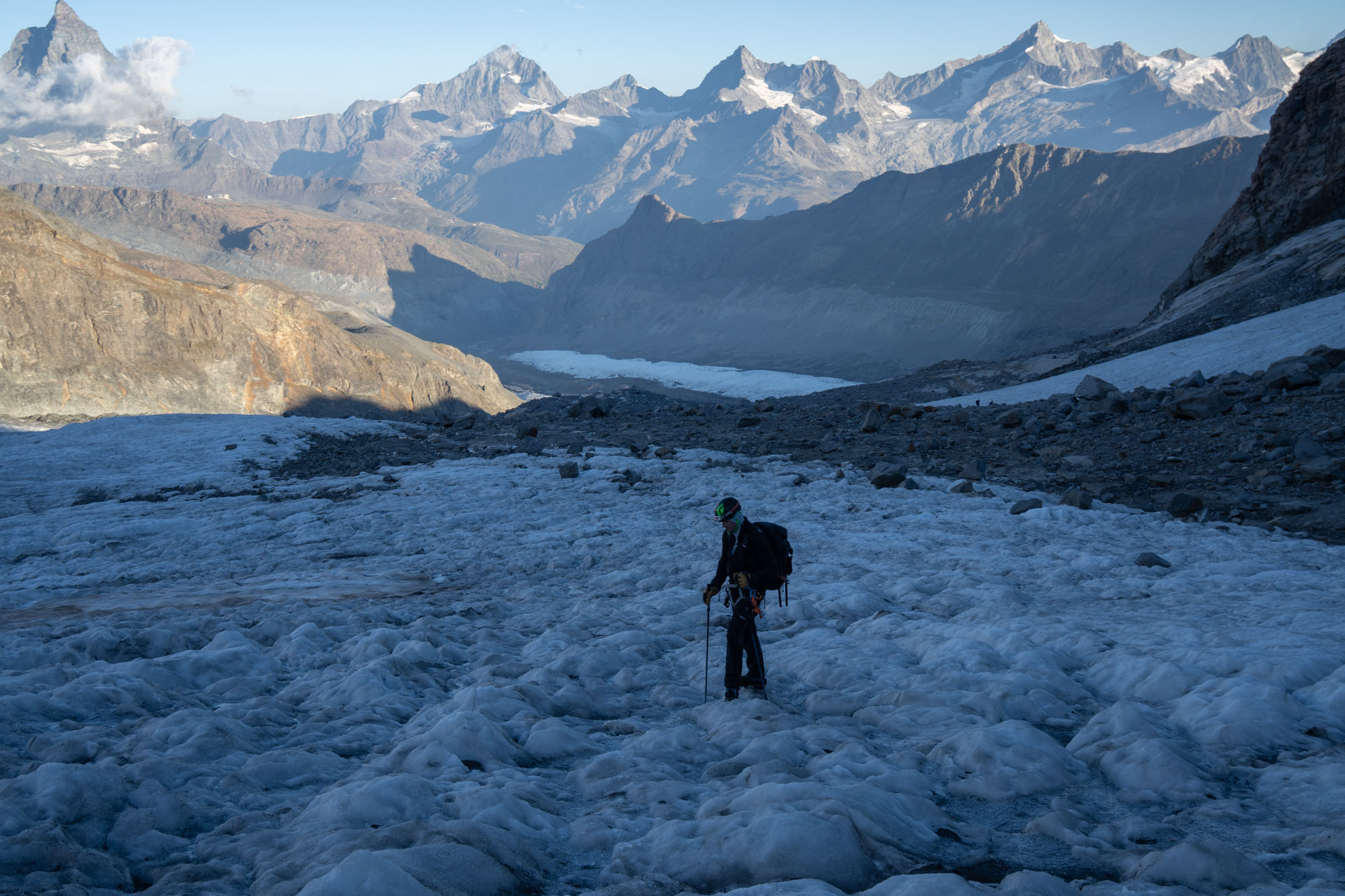
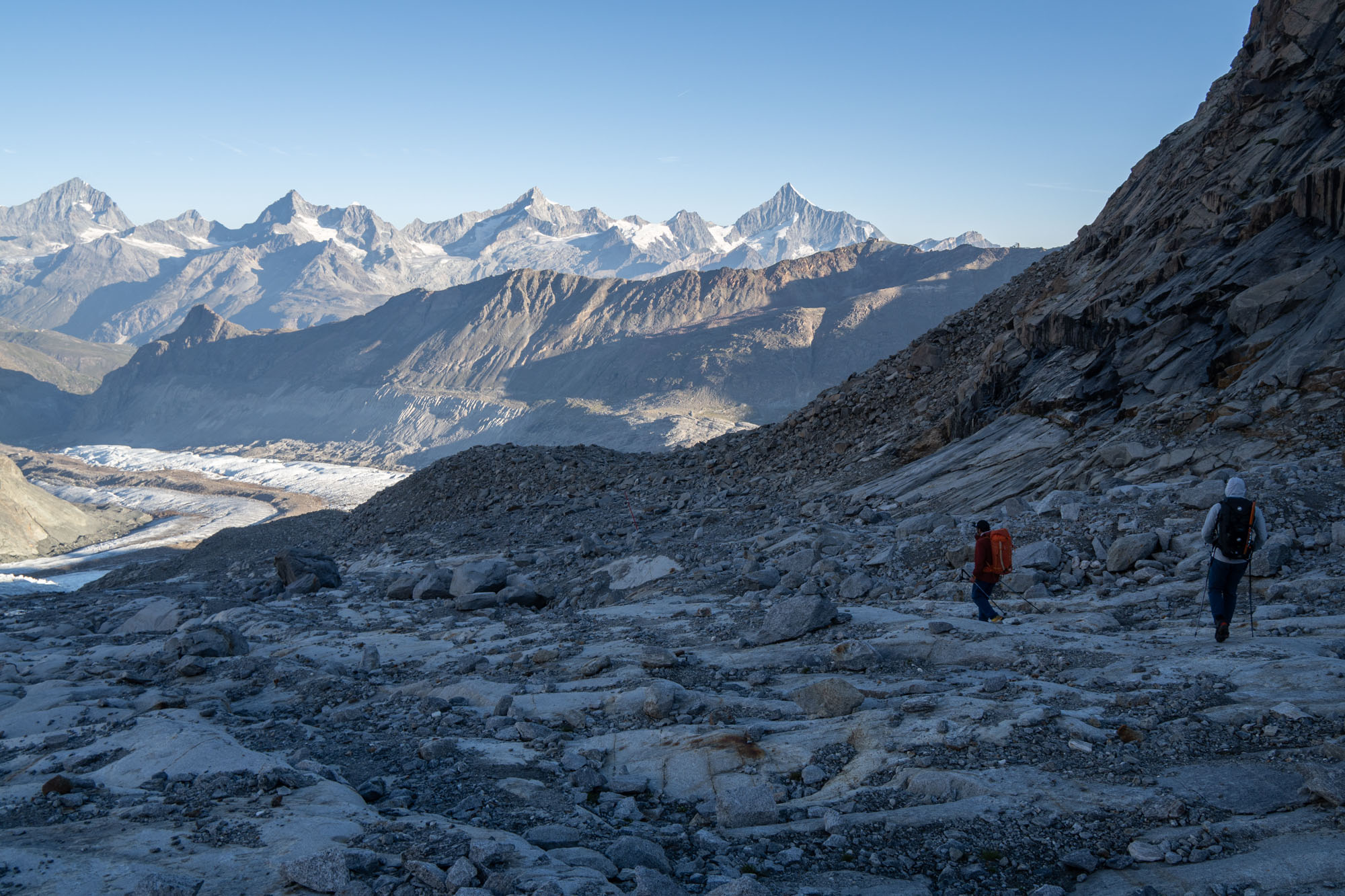
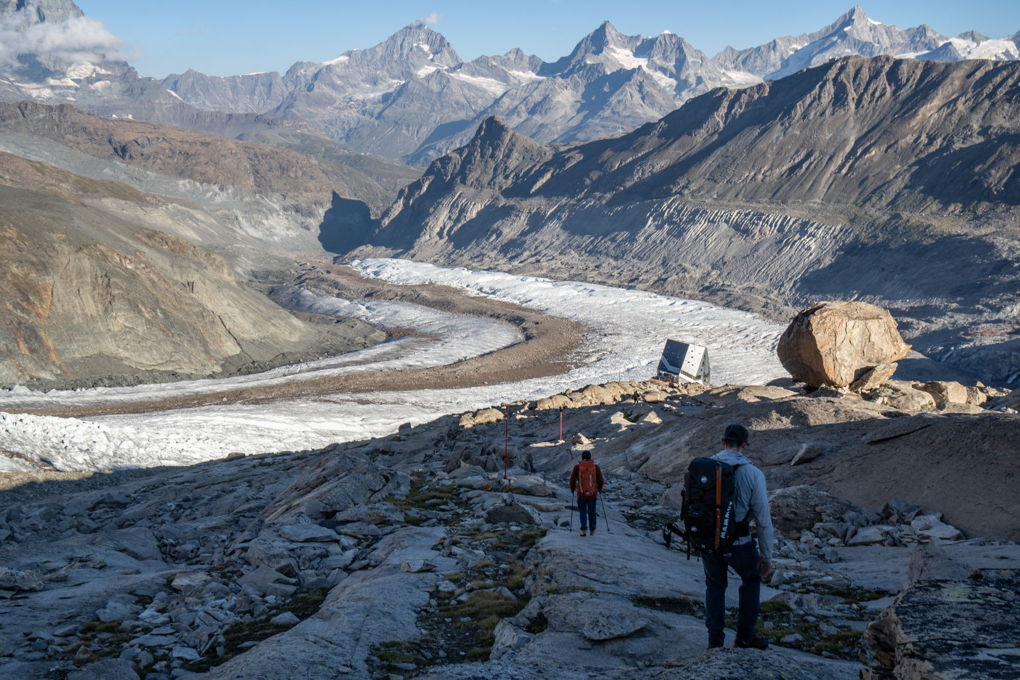
The Austrain team waited for us on the rock slabs by the glacier and we all regrouped then walked the final bit down to the Monte Rosa hut. It was 8am and had only taken us 3 hours to get through the icefall and down to the hut but it felt like a full day had passed. We ordered cappuccino and pie and sit in the sun.
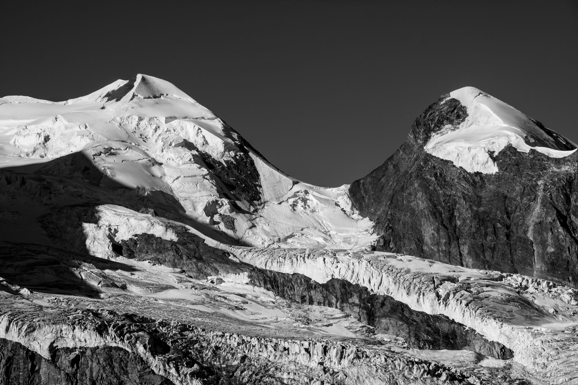
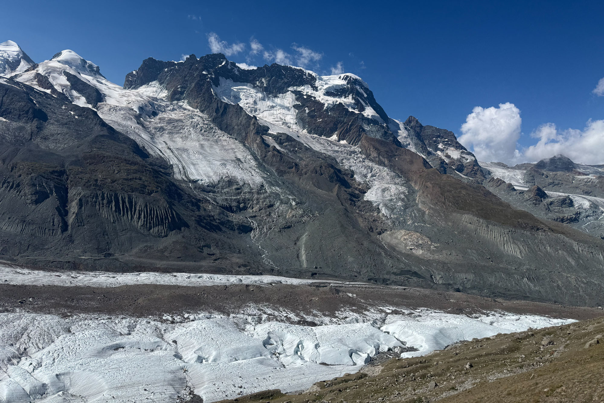
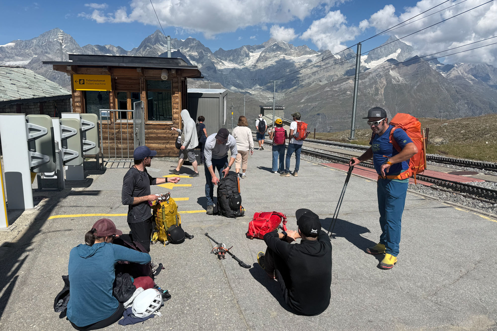
The rest was easy. A real trail to a short bit of glacier where we didn’t even bother to put on crampons followed by a dusty hot trail up to the train station. We collapsed in the sun.
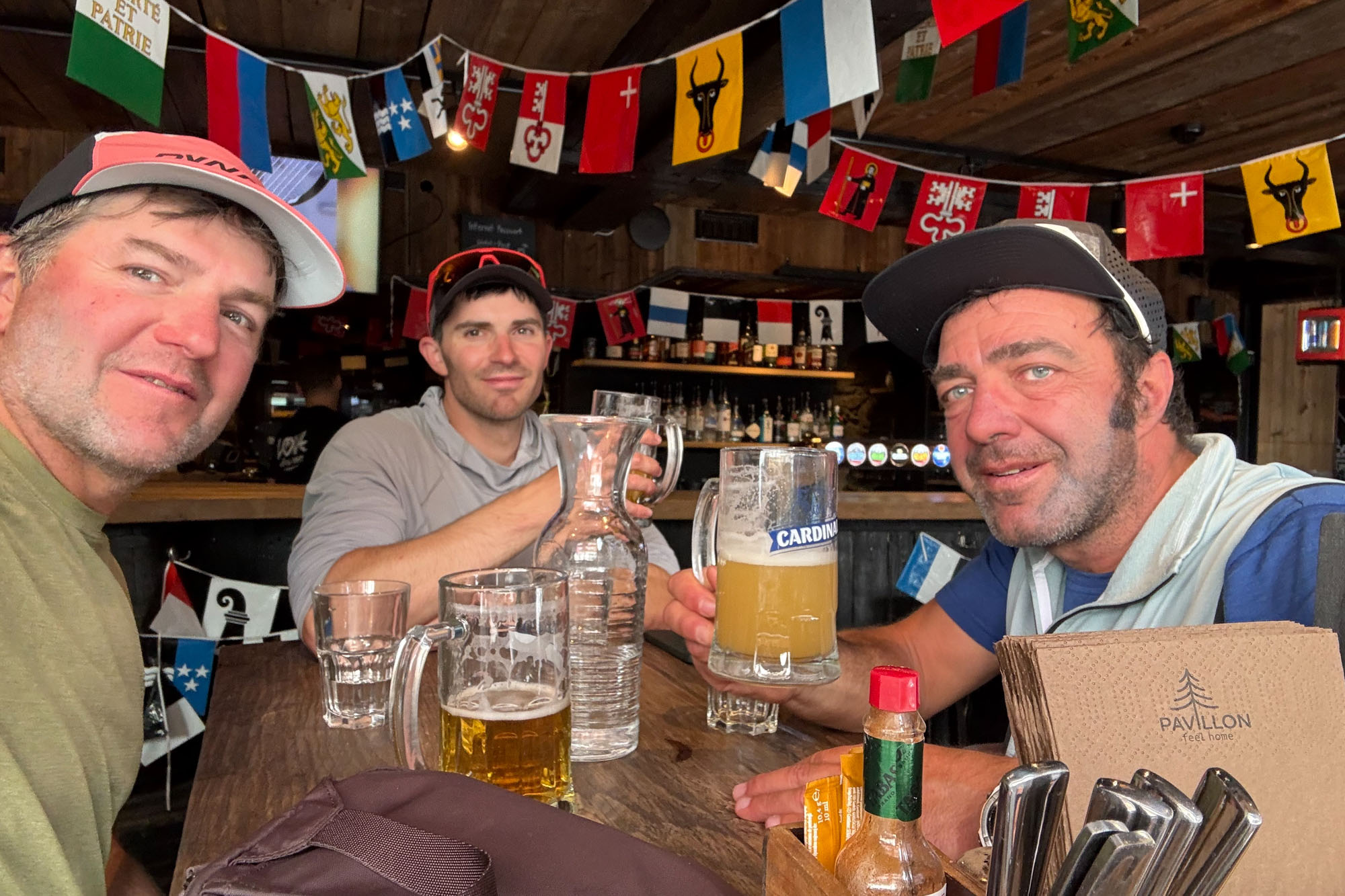
The train ride to Zermatt saved our knees from 4,000 ft of descending and we were down by noon -14,900 ft to 5,400 ft in 7 hours. The oxygen was thick and the sun was hot. We wove through a maze of tourist and regrouped to discuss route options. Marco lead off again with the same focus he showed on the ice. Through the complex side streets and past bars crowded with the lunch rush. But he knew the route and soon he had manuevered to an open table in a crowded bar where the waiter deposited three large cold beers. We lifted them in unison. Saluti.
Resources
Guides
- If you are a competent mountaineer you can do this entirely on your own, but one of the joys of travel is to meet locals who are intimate with the area. I highly recommend Marco Zaffiri UIAGM/IFMGA . He has been guiding the Spaghetti for 20+ years and was a joy to climb with. You can reach him via What’s App, his company website – Mountain Evolution or Instagram @mountain_evolution.
Gear
- A 35L backpack is plenty big.
- Sleeping liner required for all the huts.
- The huts do not have potable water and they ask that you purchase water from them at €5(+) per bottle. The water in the bathrooms either comes from glacier melt so if you take a Steripen you can save some money and avoid buying plastic bottles.
- Class C mountaineering boots work fine. The guides all use the boots that have built in gaiters which is nice for post holing.
- Bring crampons that can withstand scrambling across a lot of rock.
- If you’re doing it on your own there are a bunch of public tracks on Gaia that you can download.
Lodging
- Rifugio Ayas: Where you stay the first night / Breithorn. Can also be reached from Frachey but it’s a long walk.
- Rifugio Quintino Sella: The second night loding and where you stay for Castor and Pollux. Can also be reached from the Monte Rosda ski area.
- Rifugio Capanna Giovanni Gnifetti: Third night stay. Also can be easily reached from teh high lift at Monterosa ski area. A very busy place – book early.
- Margherita Hut: A place every climber should stay at least once. Book early and don’t plan on sleeping that well.
- Zermatt Lodging / Jugendherberge. The hostel is quiet, clean and has laundry services and a good breakfast. If you have a large group you can book a room that sleeps 6 – otherwise you need to share rooms. They have lockers for gear for short stays – but didn’t want us to store gear for our entire trip.
- Zermatt Lodging / Peaky Readers: I also stayed here for a couple nights. Nice clean rooms – not as cheap as the hostel but you don’t have to share rooms. They have a luggage room where you can store gear, but it is not locked. No breakfast but there’s a coffee vending machine.