The Tour de Monte Rosa is a classic 100-mile trek in the Valais Alps that circles the Monte Rosa massif and neighboring 13,000-14,000 ft peaks. Commonly done as an 8-10 day hike it has an elevation gain of around 23,000 ft with the highest point being Theodul Pass at 10,810 ft. The trek straddles the Switzerland / Italy border and passes through several villages – and while most start the trek from Zermatt, Switzerland, the trip can also be started in Saas-Fee or Italian villages like Alagna Valsesia or Breuil-Cervinia.
Once again we set out to do this hike with our friends Bryn Clark, Louis Sass and their daughter Aven – friends who always seem to say yes whether it’s for a hike up Flattop, a float trip in the Arctic or traveling to distant places. Getting them to join us basically meant sending a text to Bryn that read, “Do you want to do the Monte Rosa trek in Switzerland & Italy” which was immediately answered with  “Yes” “When?” “July” “Okay”. Done.
With the destination settled we began planning in earnest. For trip planning I used The Hiking Club platform. This is an app built by Brendan Jones and Susan Perry who began writing the app after dealing with complicated logistics on a 2018 trip. Basically it’s a mapping platform that has integrated links to hotels and huts. You buy a yearly subscription, set up a Zoom call for training and then map out your route. The app has direct links to lodging along the way and if a hut isn’t taking reservations you can set up a reminder that will atomically ping you when reservations are open. While the app makes the overall logistics fairly easy, you still have to do all the bookings yourself – which means contacting each hut and hotel. This is especially complicated in Italy where booking a room means calling the hut (which won’t be open until ski season) and then attempting to book a room over the phone while the hut operator cooks and yells at skiers who did the same thing the previous summer.
And so – starting in November we called and emailed and booked online and wired money to 10 different places in 10 different towns and set up a ridiculously complicated Google spreadsheet mapping out our trip and a (crucial) Splitwise account that was used almost daily by both families for months.
Our planning began in late October 2025, with the first hut booked in early November 2025, the last booked in April 2026, the route finalized in late June 2026, and our departure from Anchorage finally on July 12.
On the way to Switzerland we detoured to Paris where we forced our daughter to acquire some culture. We met friends who live in London whom we hadn’t seen in years and visited Notre Dame, the Louvre, Eiffel Tower, Musée d’Orsay and spent the afternoons walking around the city. In the evenings I rented one of the city bikes and pedaled for miles in a sea of cyclists with complete disregard for traffic rules.
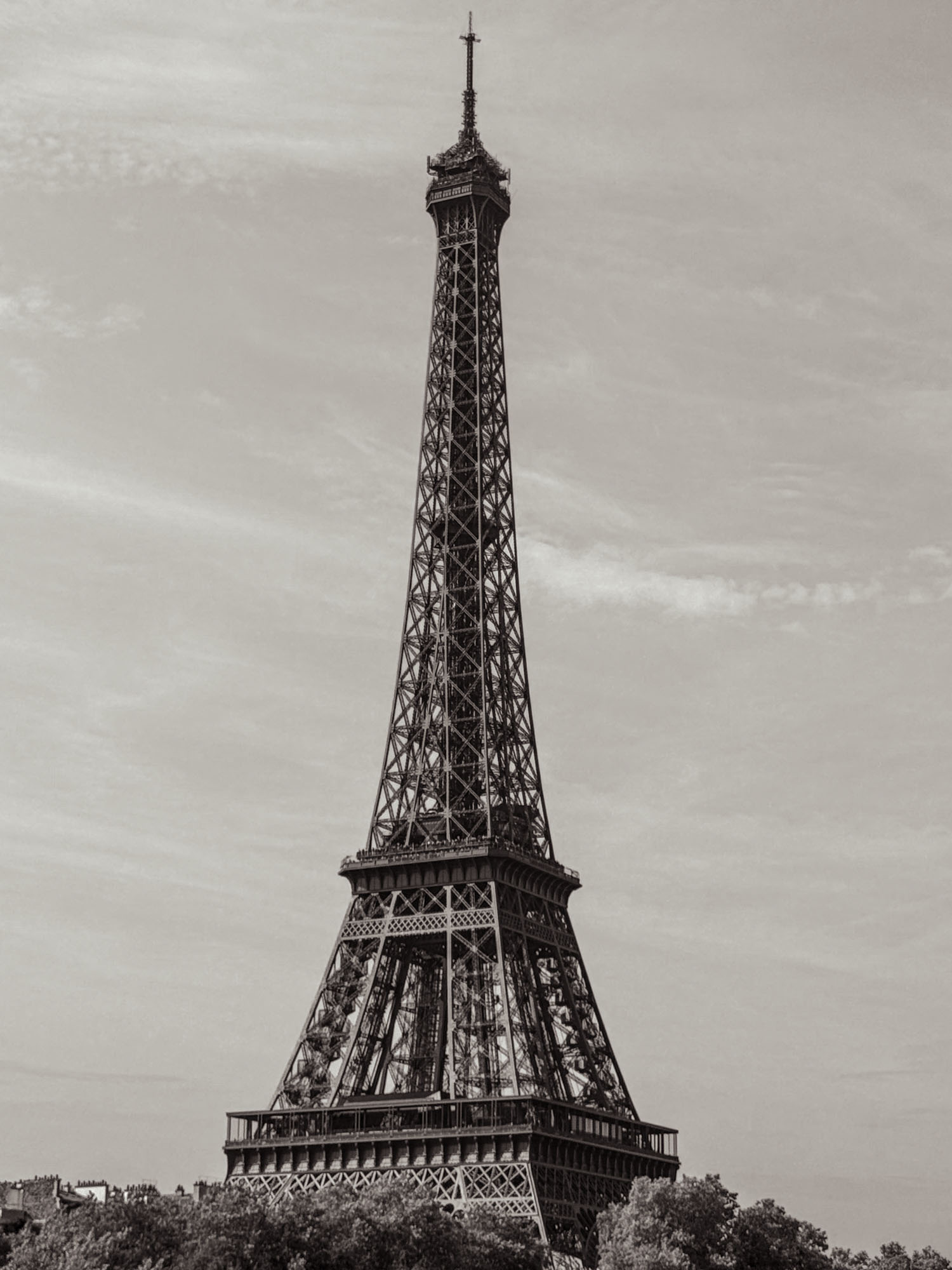
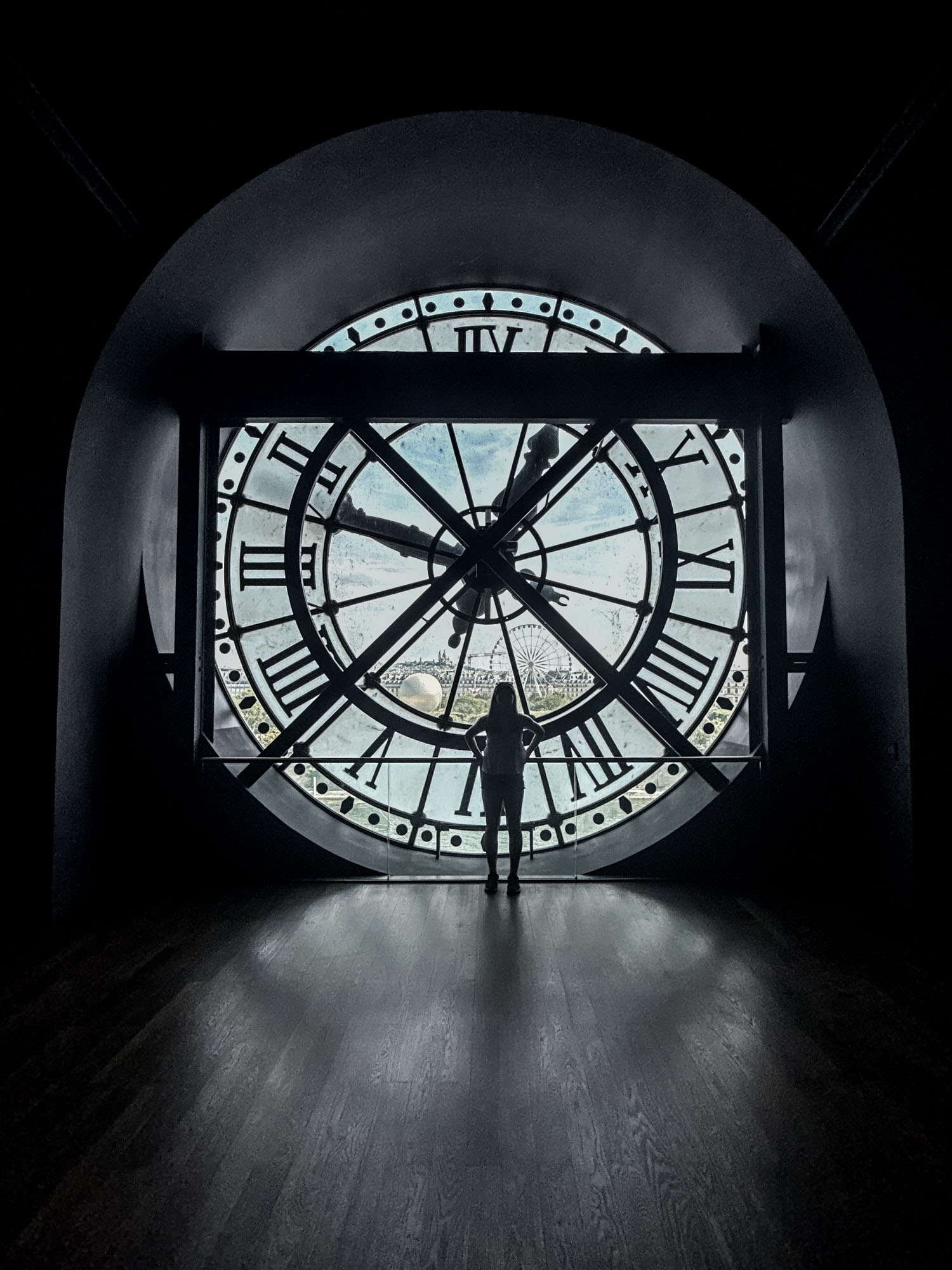
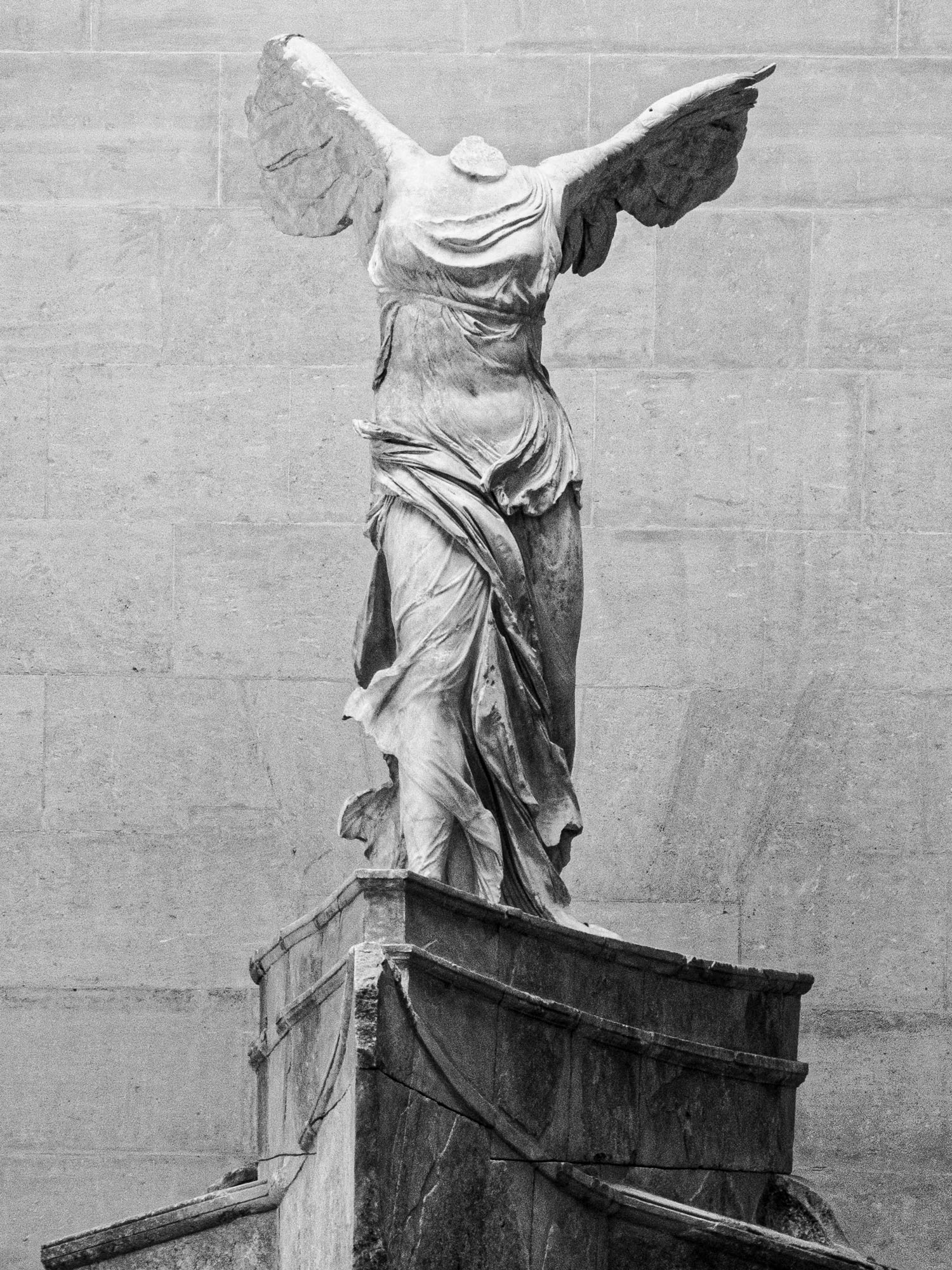
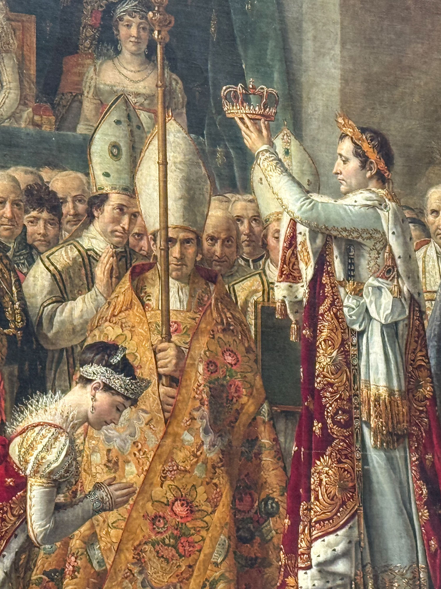
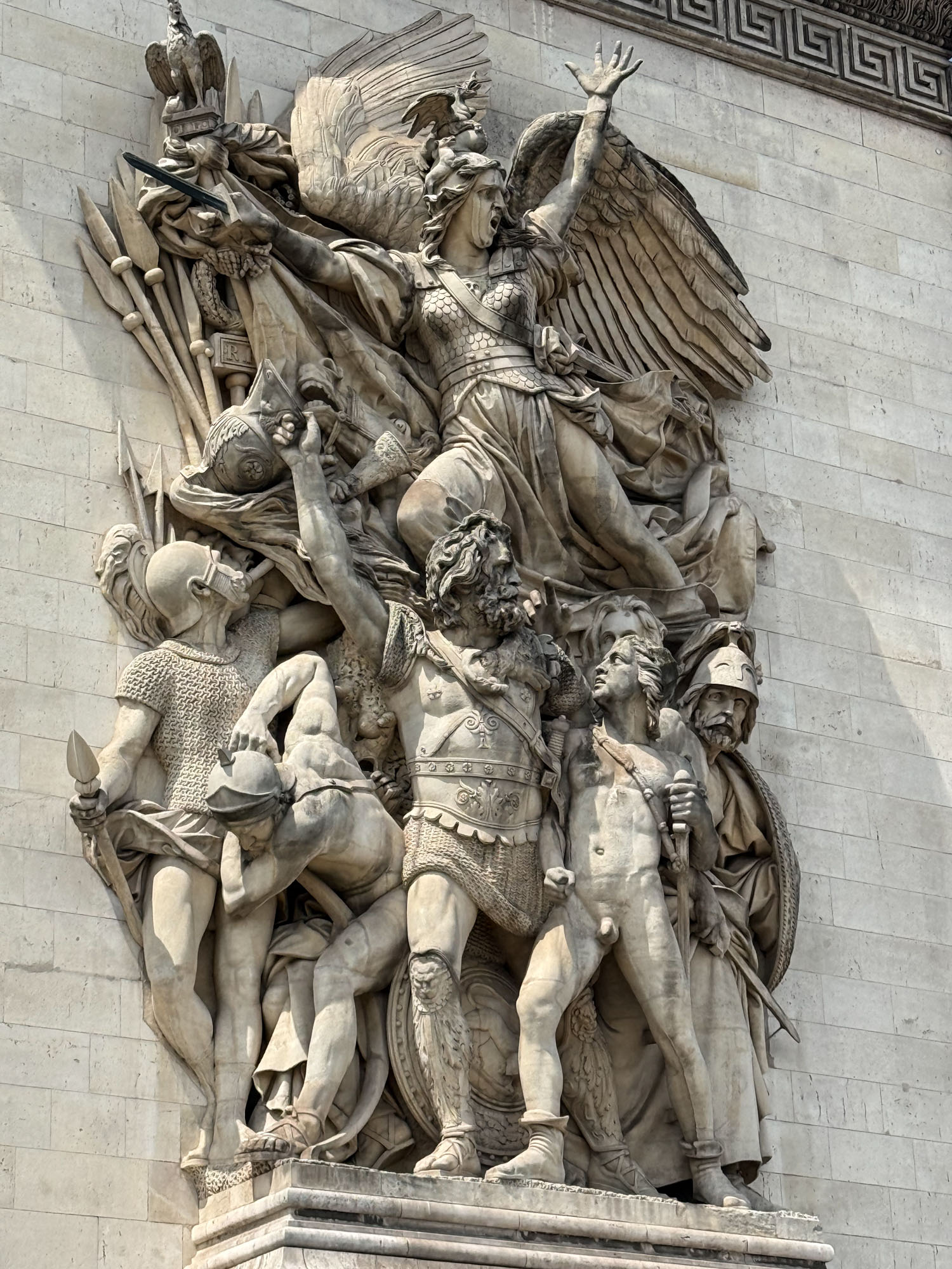
Paris was wonderful. We ate croissants and escargot and walked 40 miles and by the time our visit was up we were tired and ready for a break. And so another day of travel and finally to Zermatt and checking into our hostel (Jugendherberge Zermatt – which is anything but a youth hostel with the average age being 50+) and then packing and dinner and finally setting the alarm for the start.
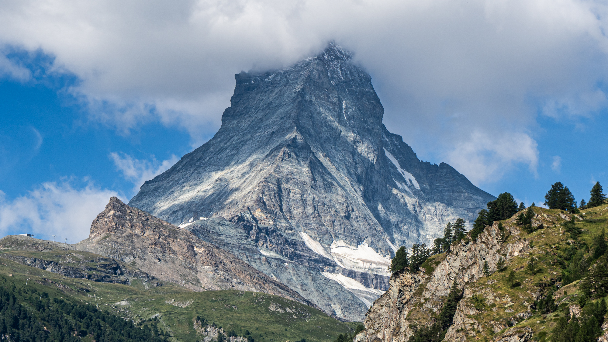
The classic view of the Matterhorn from downtown Zermatt.
Day 1: Randa to Europahutte
Our plan for the Monte Rosa tour was to hike clockwise from Zermatt with the first leg being the Europaweg trail that extends from Zermatt to Grächen. This section of the route is a 24 mile balcony trail that traverses the valley near treeline. It usually takes 2 days with an overnight halfway at the cozy Europahütte. Unfortunately as of July 2026 a portion of the trail was closed to due to rockfall and the detour required descending all the way to the valley and climbing back up.
Bryn and family had arrived late the night before – and their jet-lag combined with the first day of travels and logistical hassles of descending and reascending the trail made us decide to skip the first 8 miles and take a train to Randa where we could then travel straight to our hut without detours.
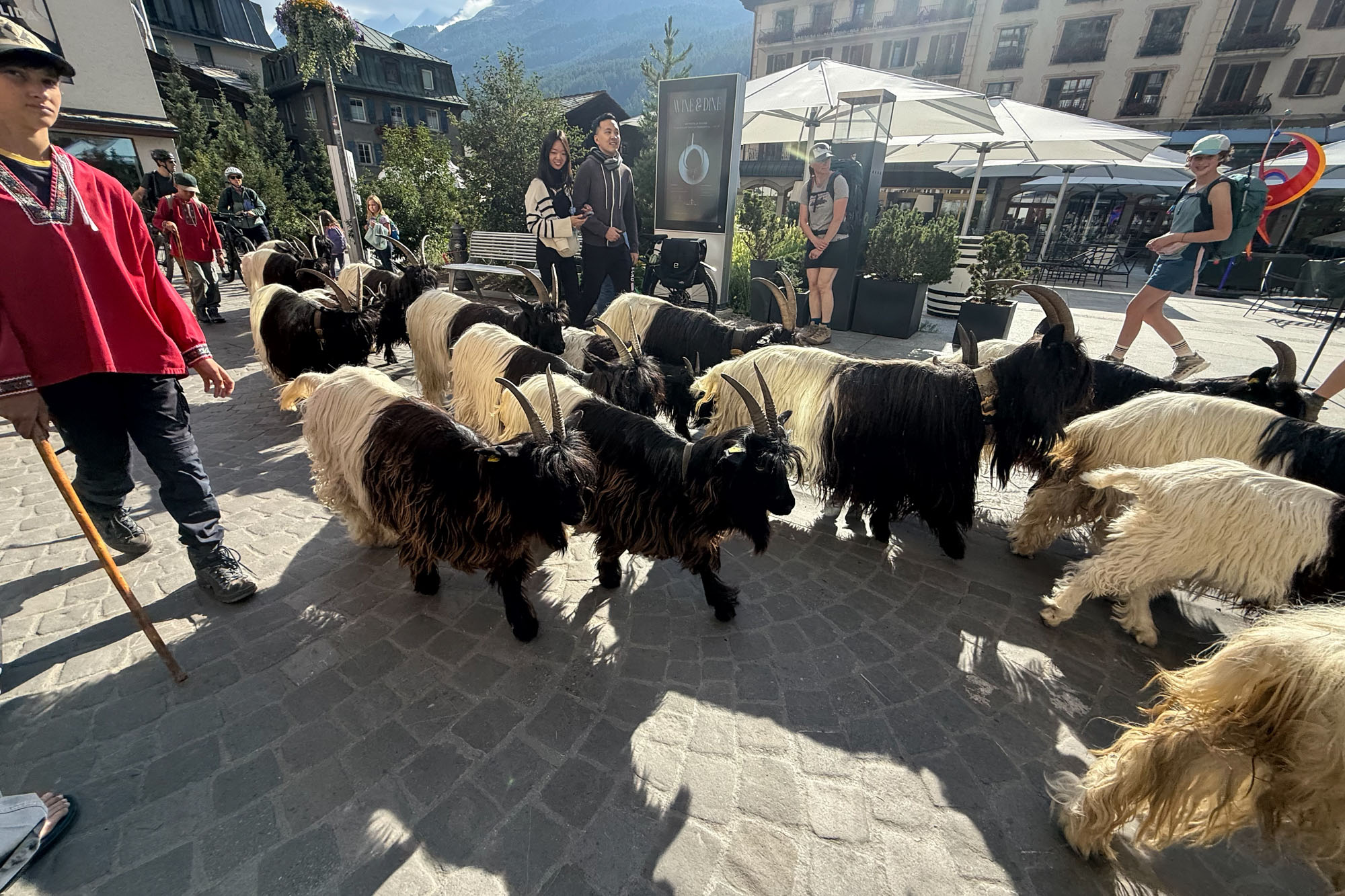
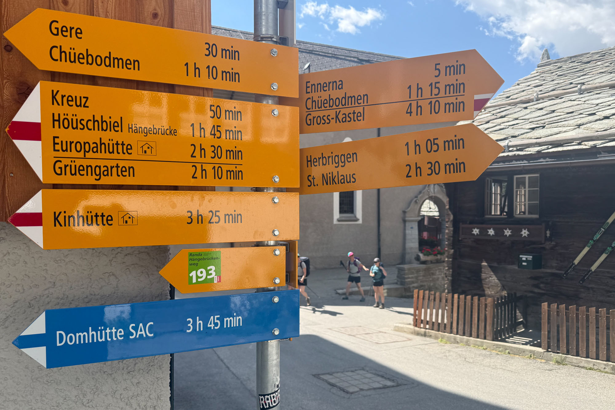

We left Zermatt around 9am just as the morning Geissenkehr (Goats’ Tour) was getting started. A walk to the train station, a 20 minute ride to Randa and finally hoisting our packs and starting the journey. With half the leg cut off the first day was short – only 5 miles. We moved slowly up the trail adjusting to the heat and elevation and taking breaks every hour to give the kids a rest. At one stop Louis saw a Eurasian griffon soar close by, but sadly I missed it.
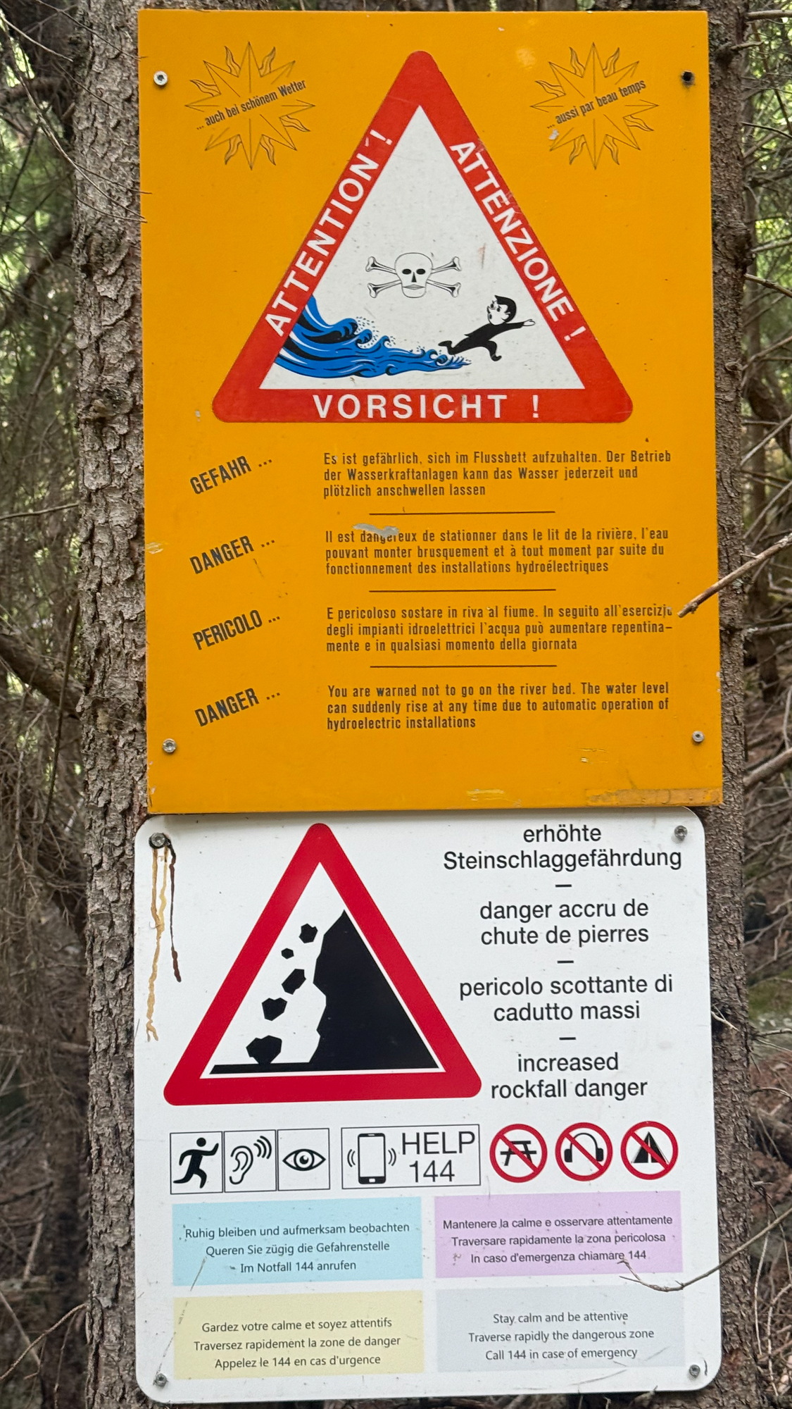
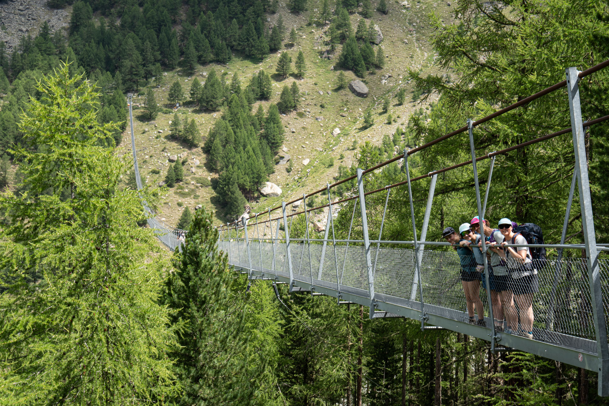
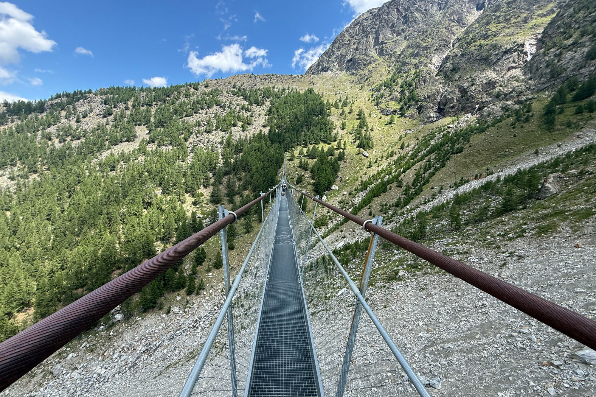
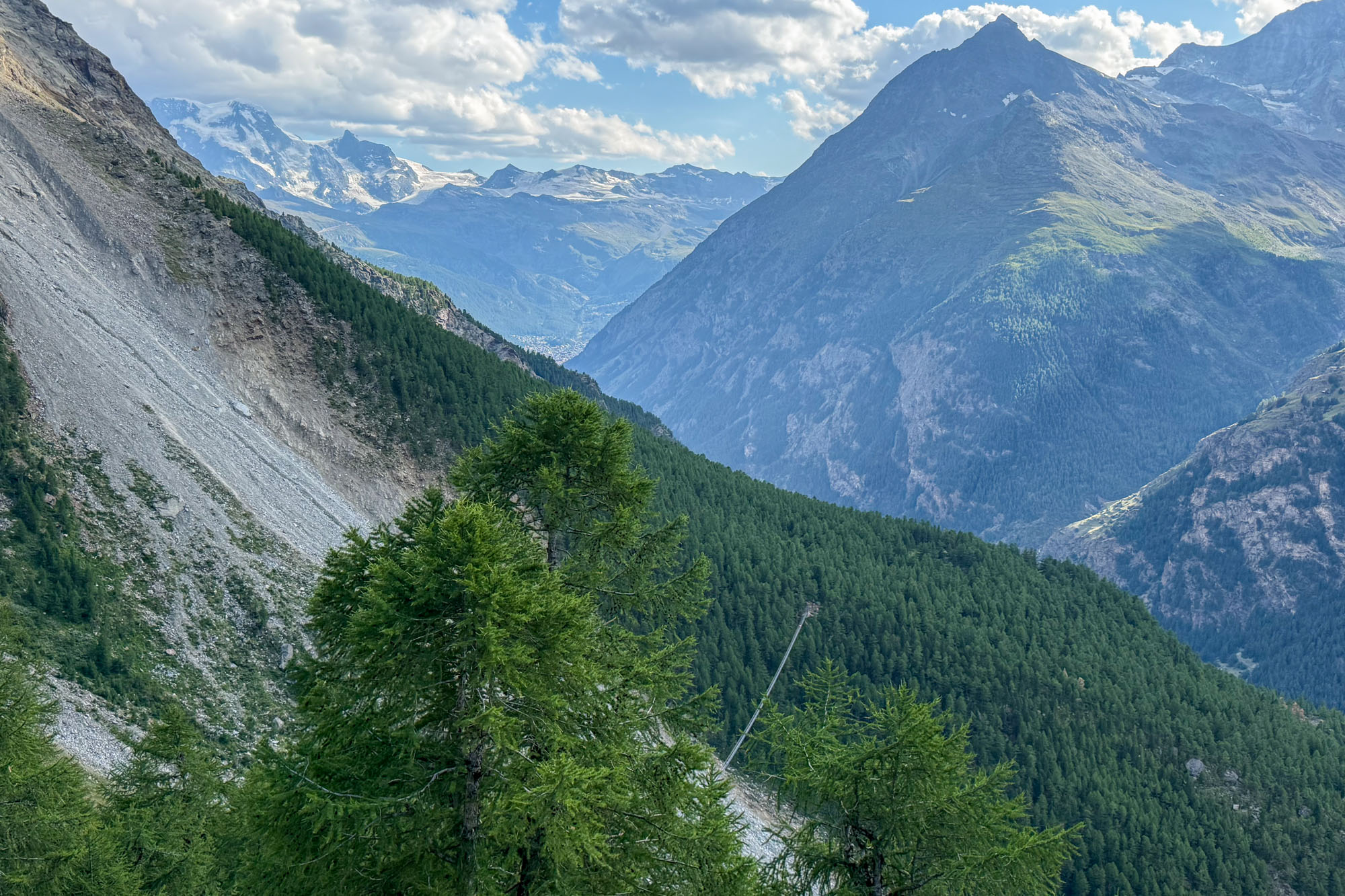
It was a short climb to regain the official Europaweg trail and then a short hike to the famous Charles Kuonen suspension bridge – a pedestrian suspension bridge that spans 1,590 ft across (and 280 ft above) the Grabengufer ravine – a zone that was notoriously unstable and dangerous for years until completion of the bridge.
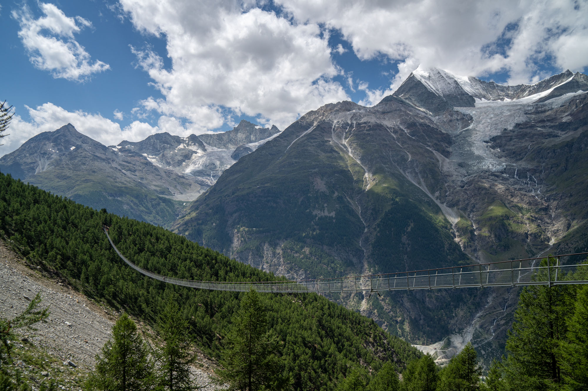
We tiptoed across the bridge marveling at the infrastructure that had been implemented to support a hike. This would be a reoccurring theme throughout our trip: amazement at the funds, work and infrastructure that had been dumped into a hiking trail. From huts to suspension bridges to tunnels under waterfalls, markers showing a path across glaciers and rock steps up thousands of feet to gain a col – all developed for the benefit of hikers. Alaska, in comparison, has dumped billions into supporting the cruise industry – but hardly spends a penny to support independent travelers and backpackers.
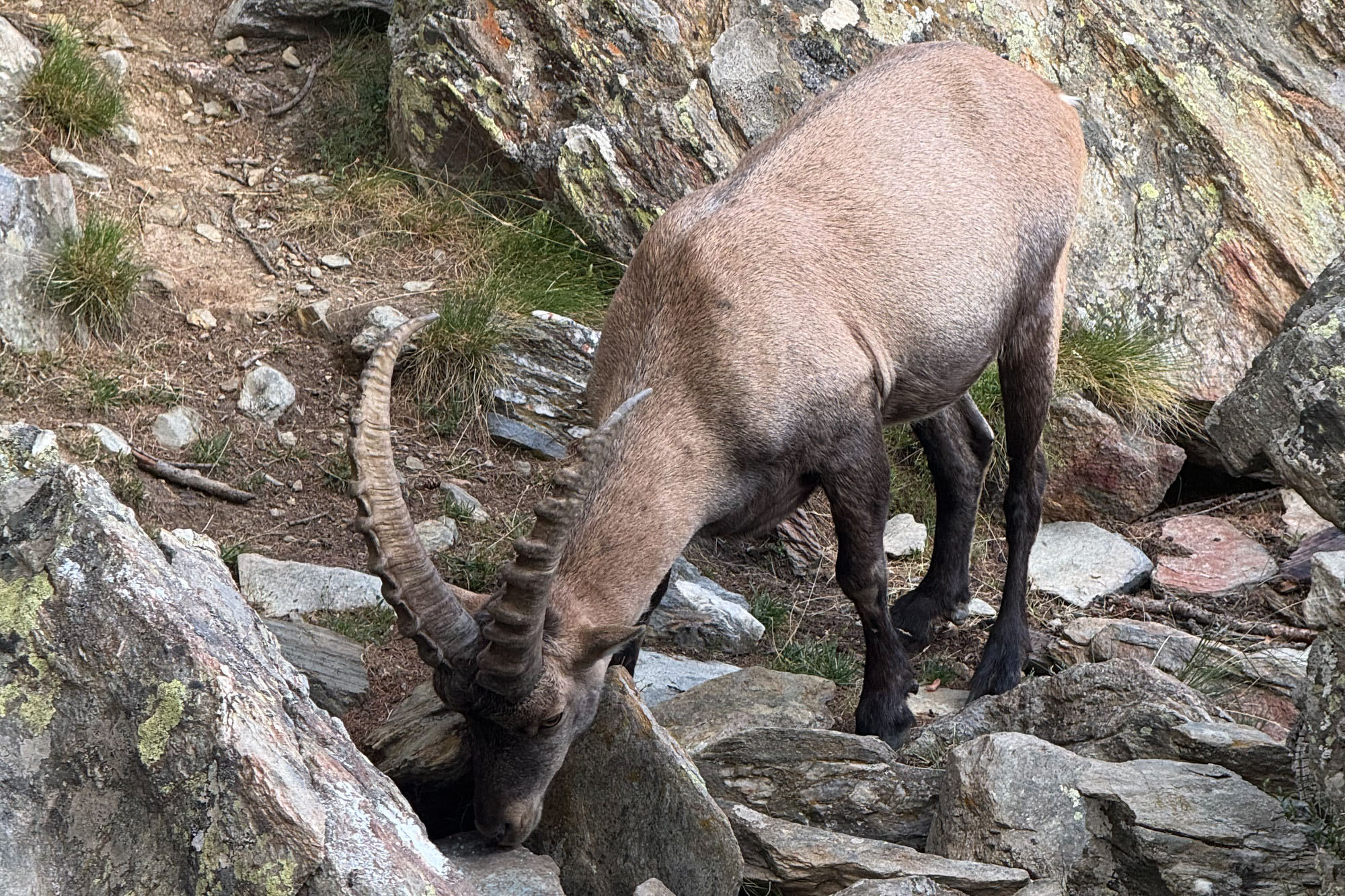
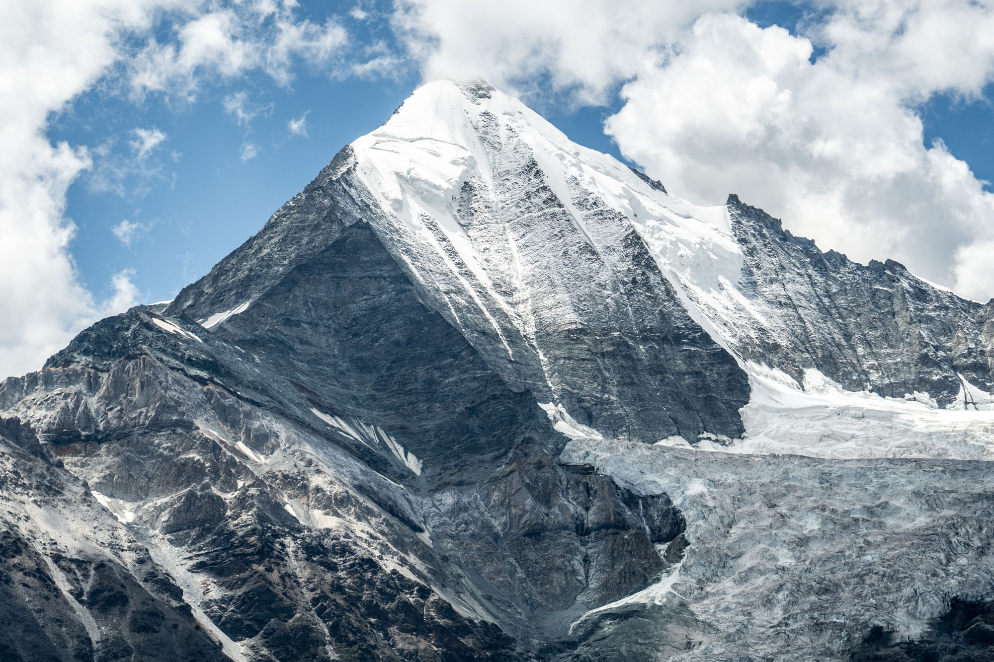
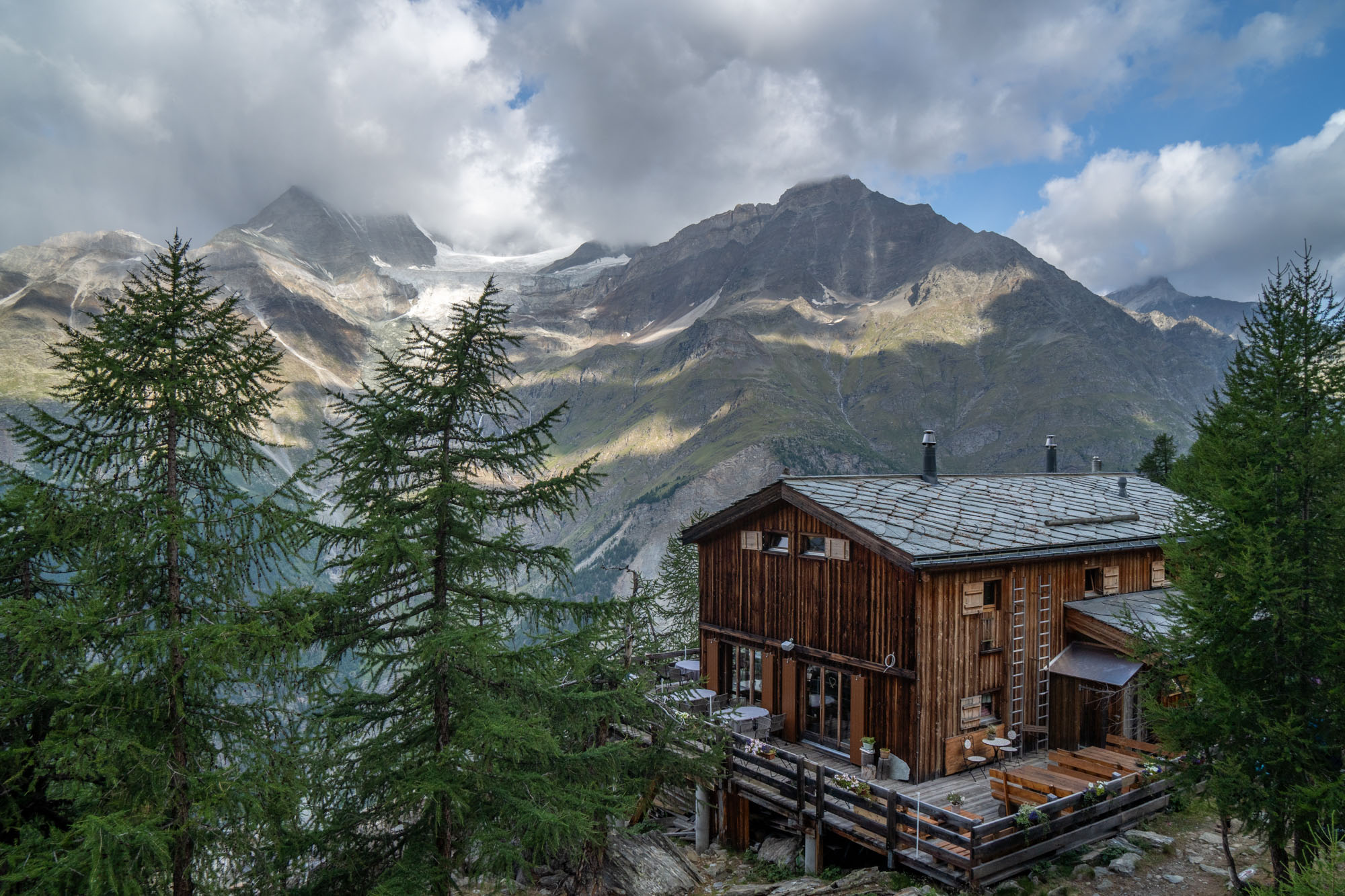
We took a break after crossing the bridge and then climbed the final 500 ft slope to reach Europahütte. It was early afternoon (it had only taken us 3 hours to reach the hut) and we embraced the Euro-hut lifestyle right away by ordering large beers and chatting with other hikers. We shared our dinner table with a young lady from New York City also doing the Monte Rosa trek who happened to be friends with a law clerk that worked in the same courthouse as my wife. A family sitting next to us was from Mazama and just finishing up the Haute Route and a giant table of Spaniards drank wine late into the evening.
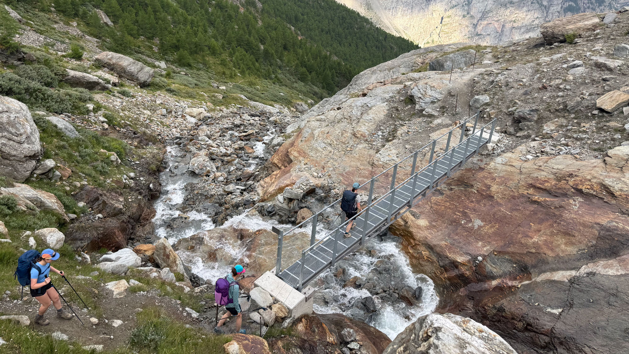
Crossing one of the many creeks on the way to Grächen.
Day 2: Europaweg to Grächen
The next day we continued along the Europaweg towards the village of Grächen. This leg was about 10 miles total with a gain of 2,451 ft and a loss of 4,587 ft. Knowing that it was going to get hot by mid-day we were hiking early.
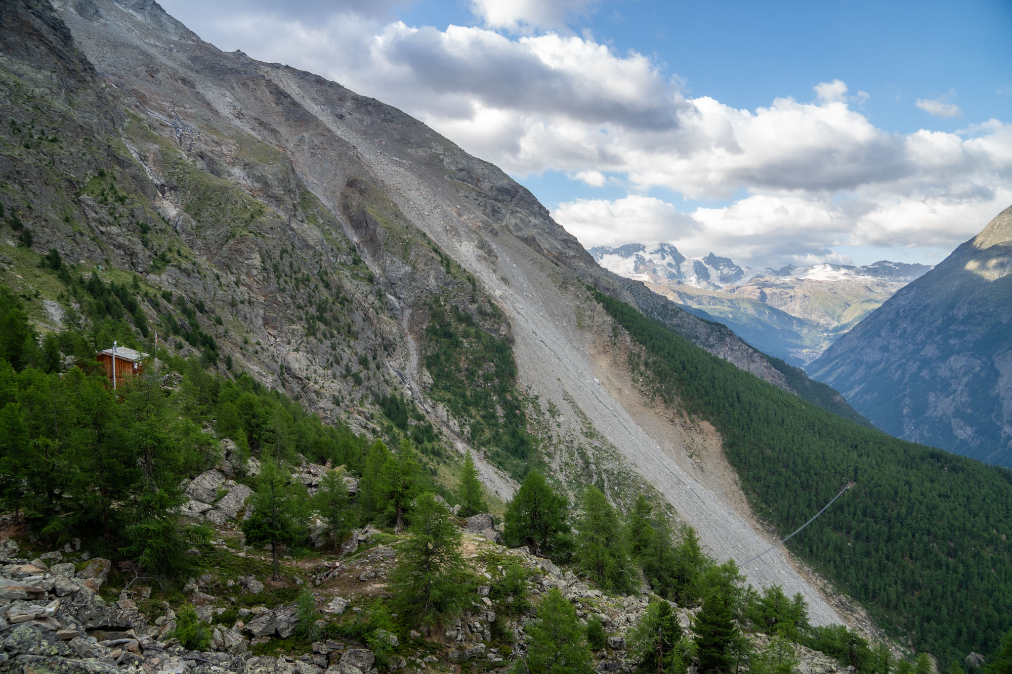
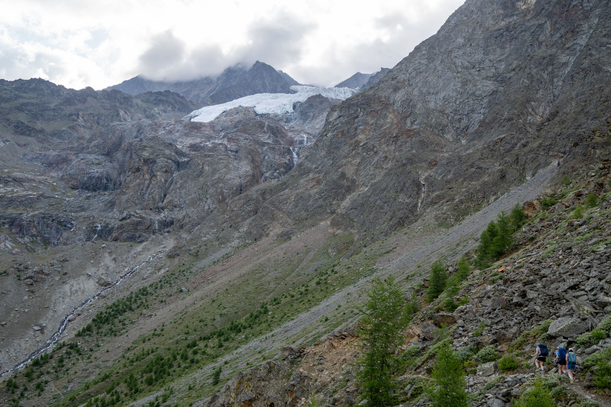
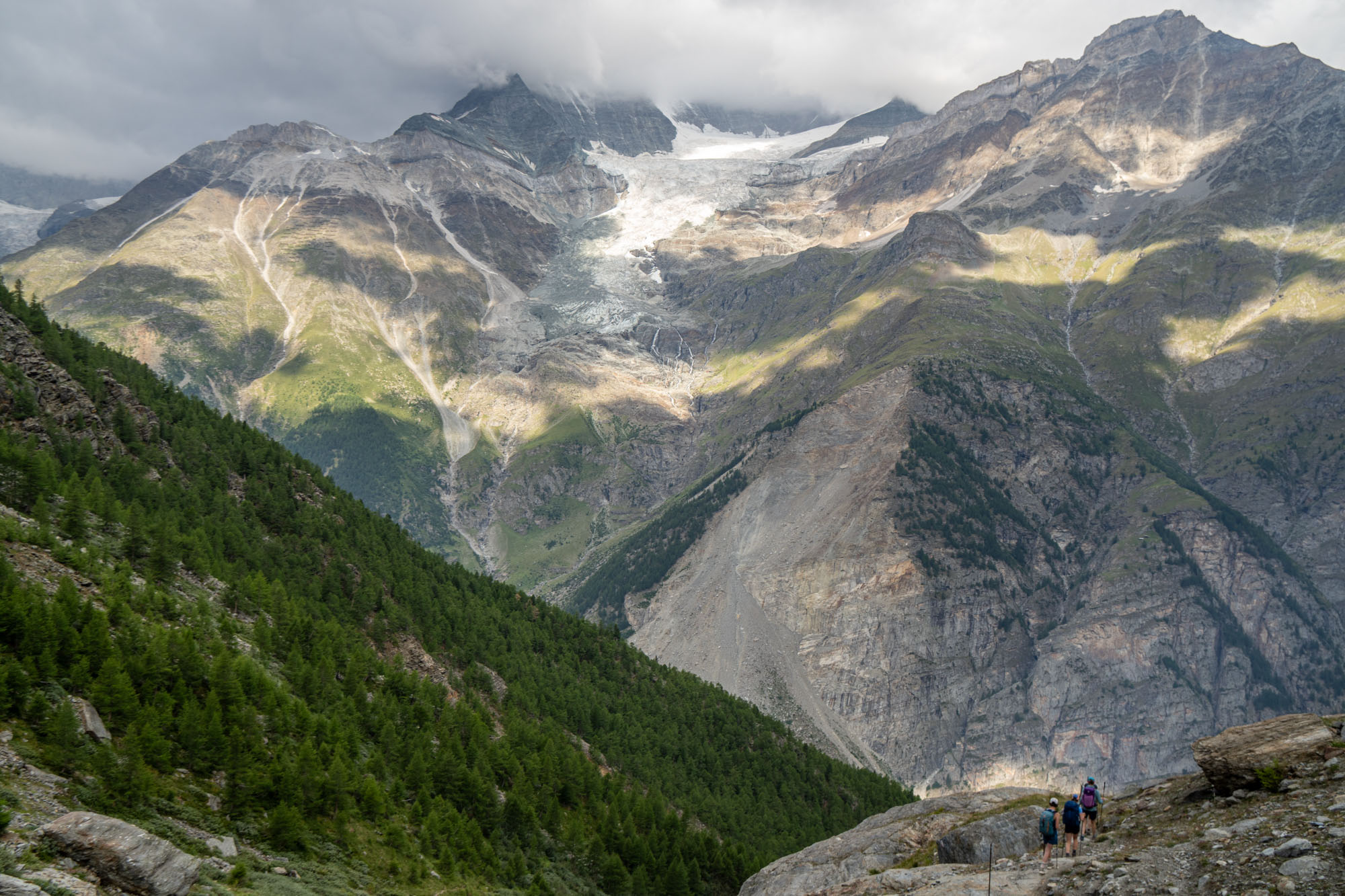
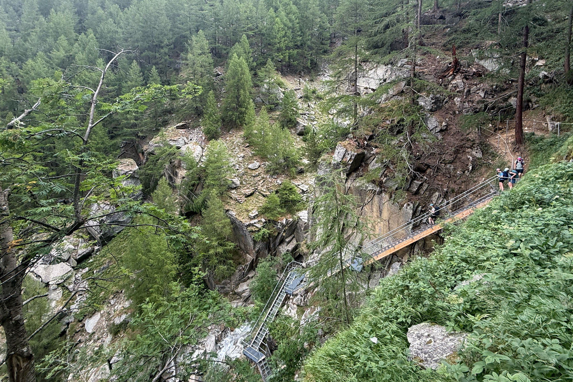
The route began with a short ascent up to a viewpoint with a glacier spilling over the rocks high above us – and this was immediately followed by a long 3,000 ft descent. The highlight of the day was a steep staircase into a gorge followed by an exposed ledge that traversed behind a waterfall. We took our time – eating a long lunch next to the waterfall and then climbing slowly up the village of Gasenried before following a series of roads and paths to Grächen.
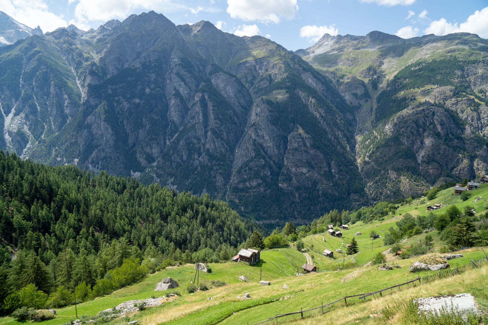
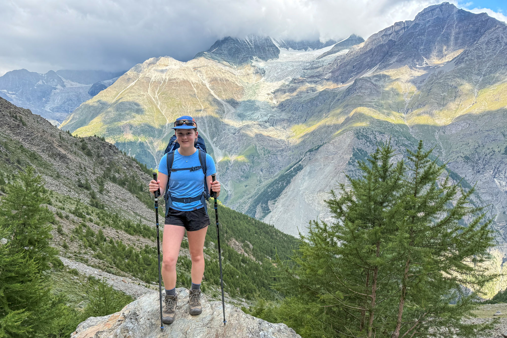
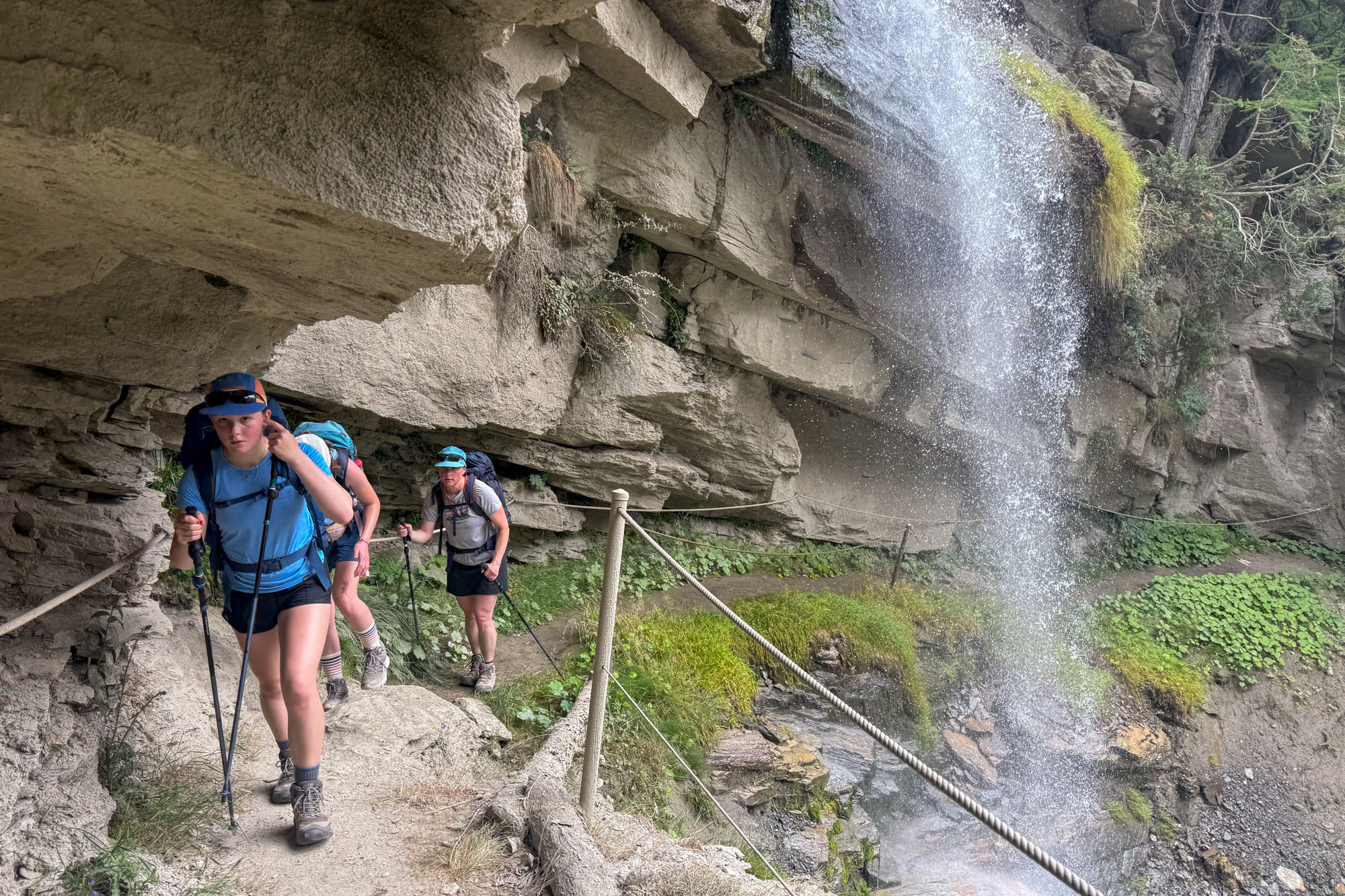
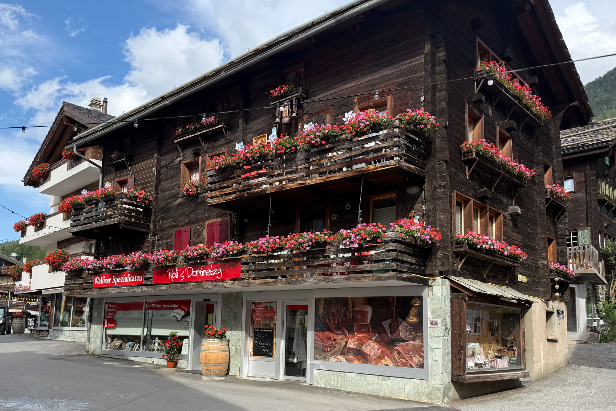
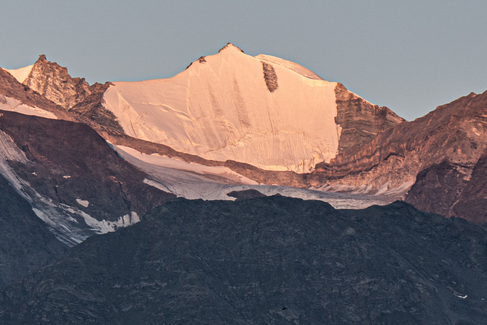
Of all the days this was the least inspiring with travel mostly in the trees and few viewpoints. The rocky section above Europahütte was beautiful walking, but it was short and the trail soon descended into thick forests. Plus the lower elevations were unbearably hot for Alaskan kids. However, the village of Grächen was charming and our hotel and dinner were wonderful and the view out the hotel window was exquisite. Fit hikers could combine the hike from Europahütte to Saas-Fee into one day – but it would be big day and wasn’t an option for us.
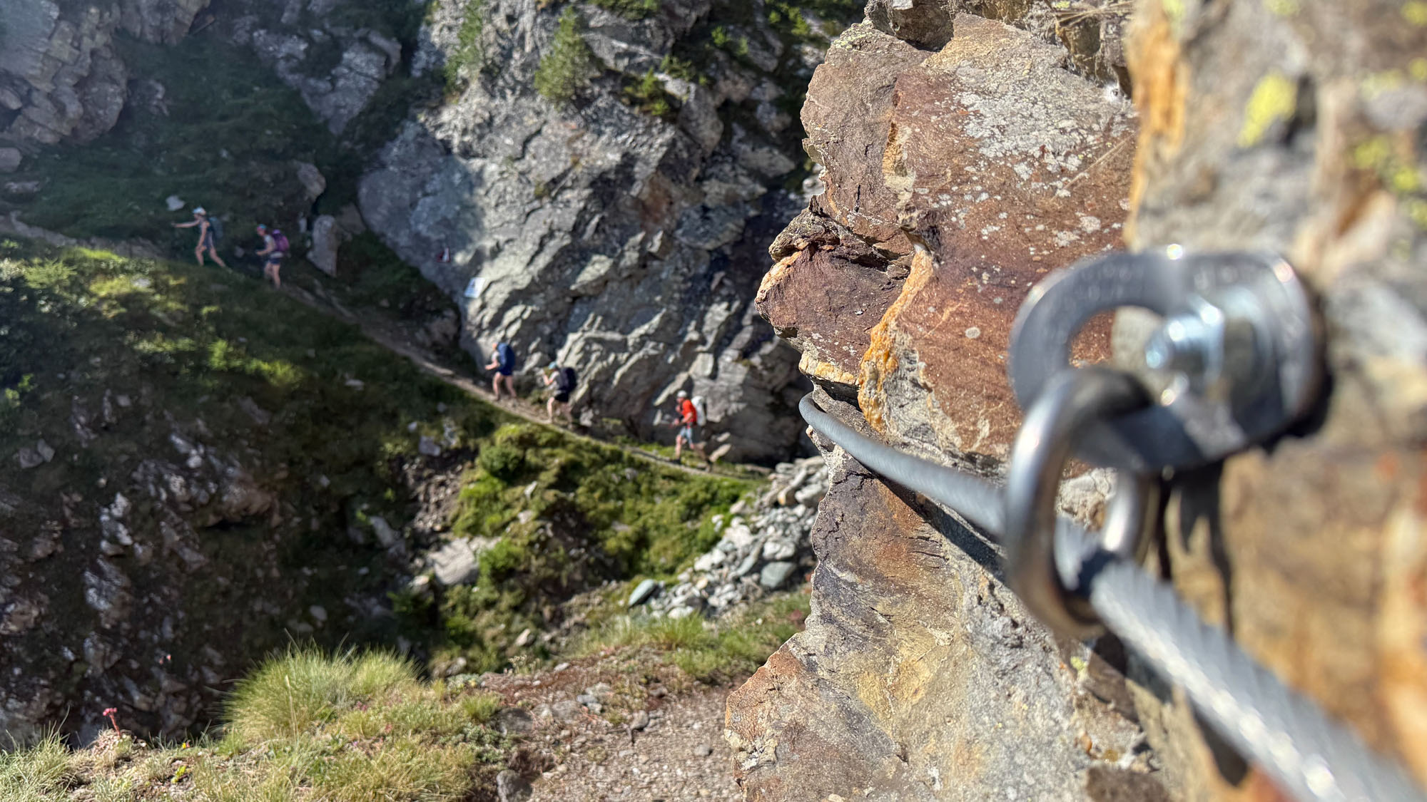
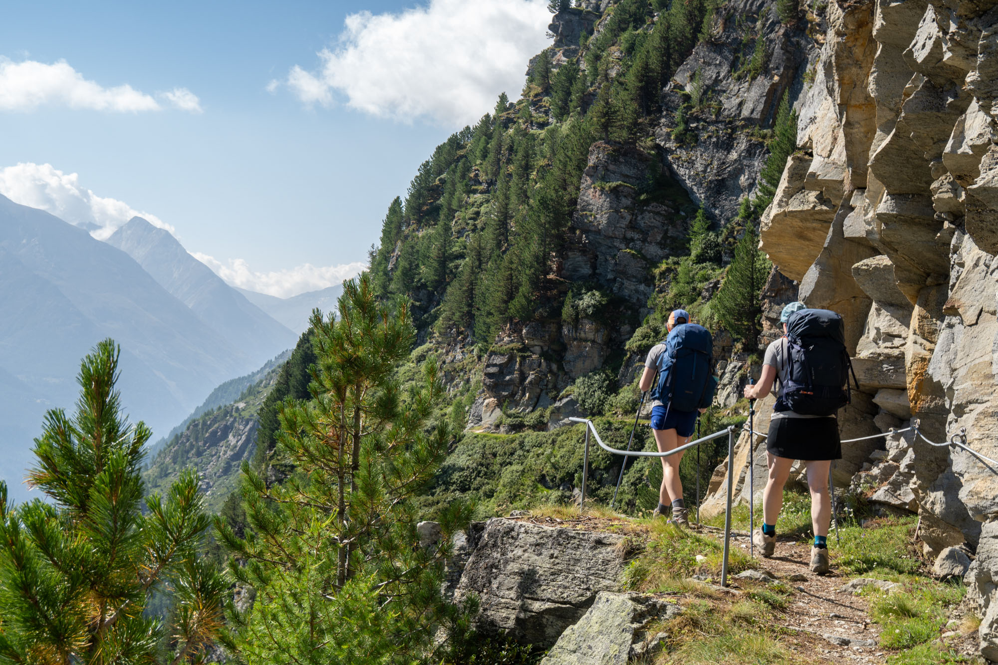
Bolts and fixed cable protecting us on of the great balcony routes of the Alps.
Day 3: Saas-Fee Hohenweg to Saas-Fee
The next stage was the hike to Saas-Fee. The guidebooks refer to stage as one of the great balcony routes of the Alps. The route ascends steeply from Grächen and then follows a wildly exposed trail for 8 miles before dropping steeply to the town of Saas-Fee. The views along the bench are amazing – however I spent the better part of the day holding my breath given that in many parts a misstep would mean a tumble and the risk of severe injury.
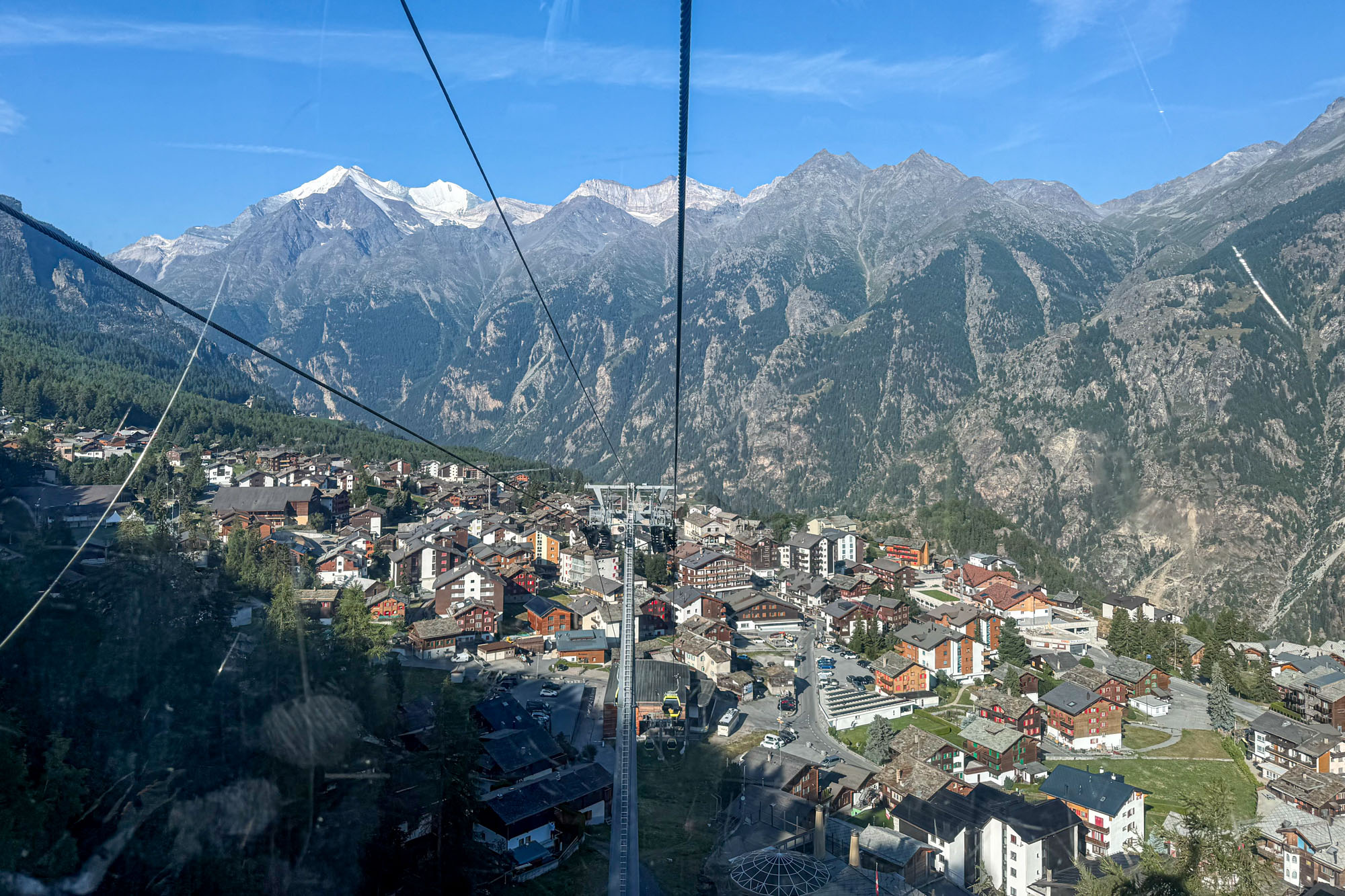
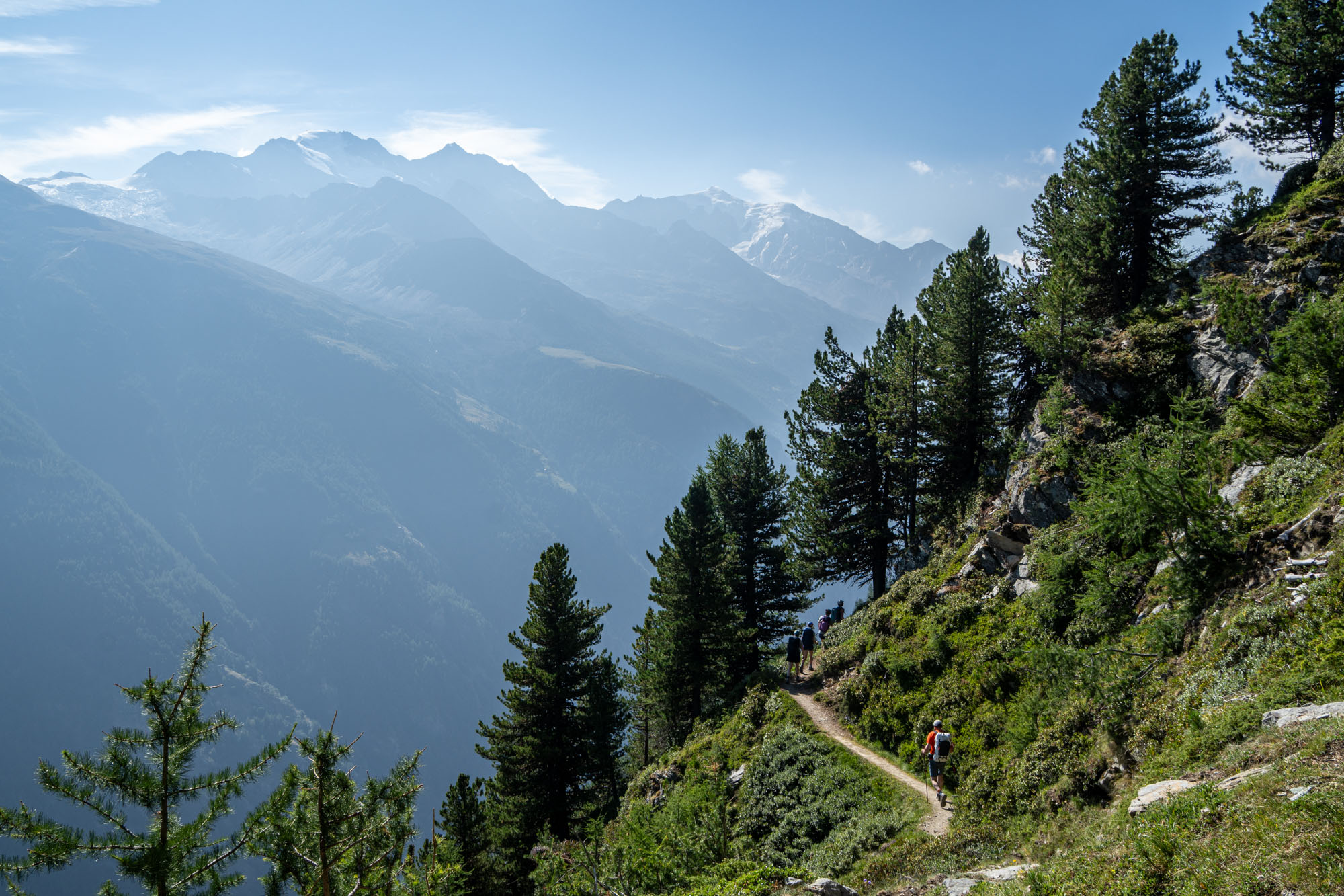
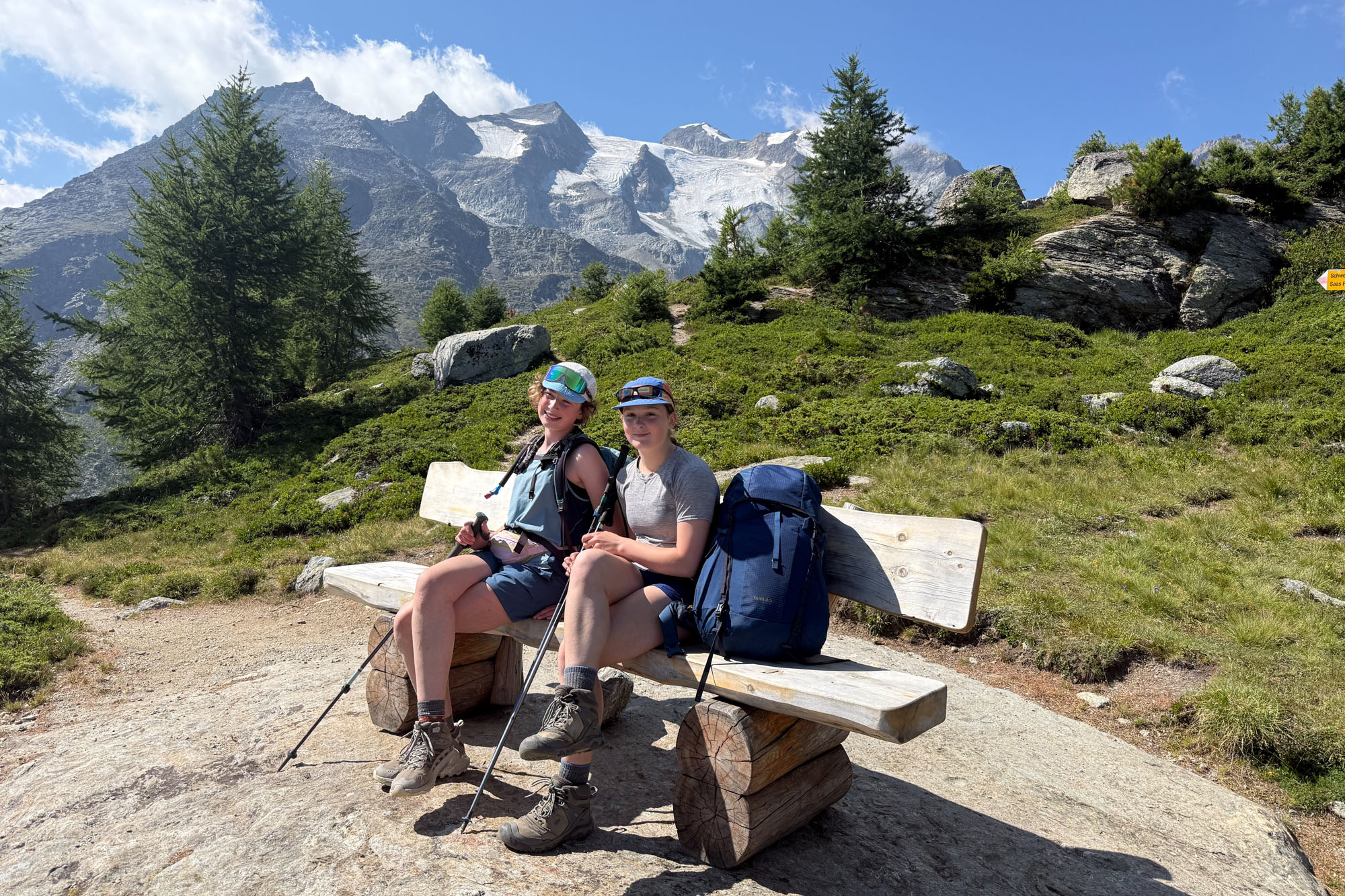
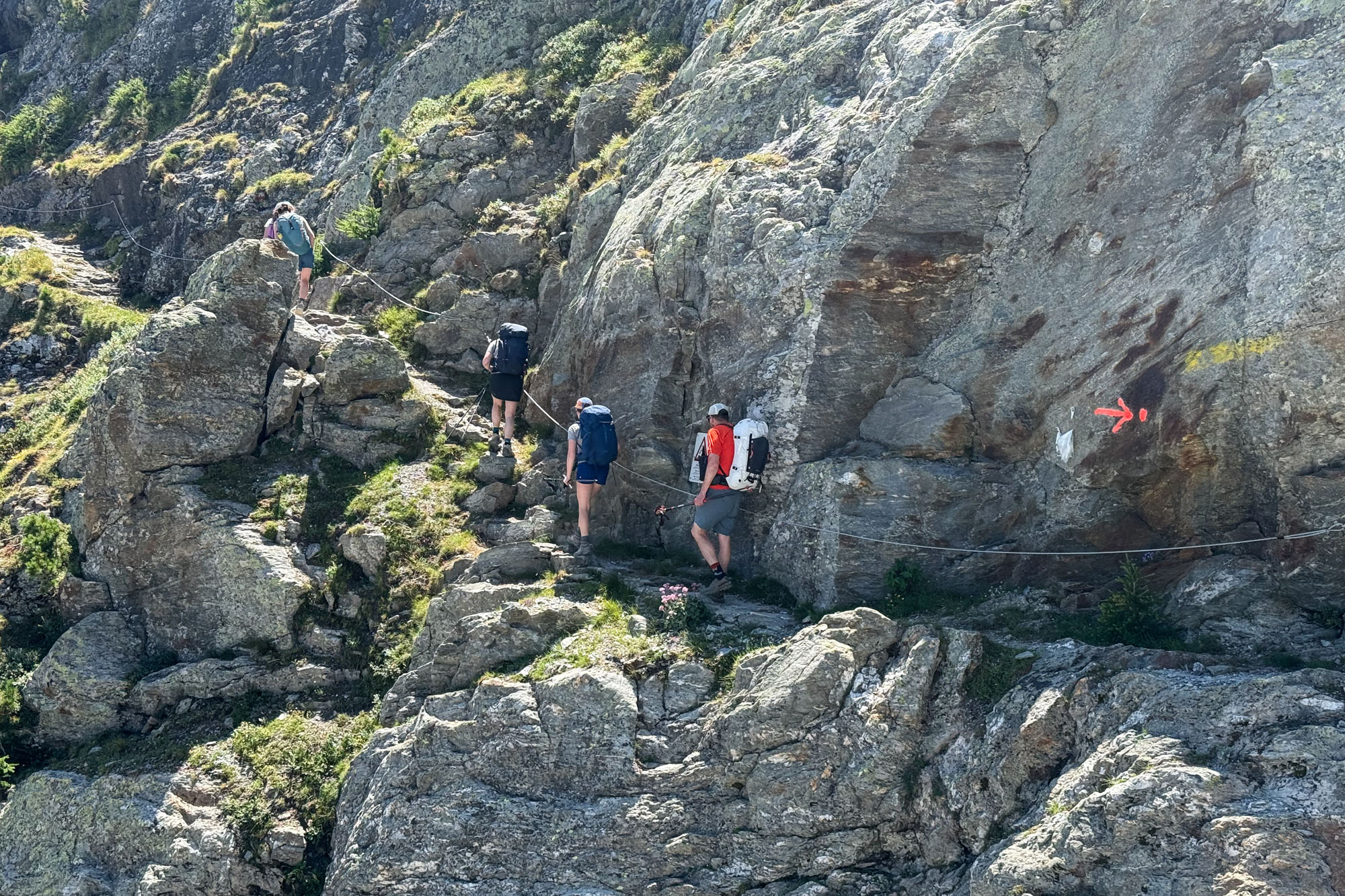
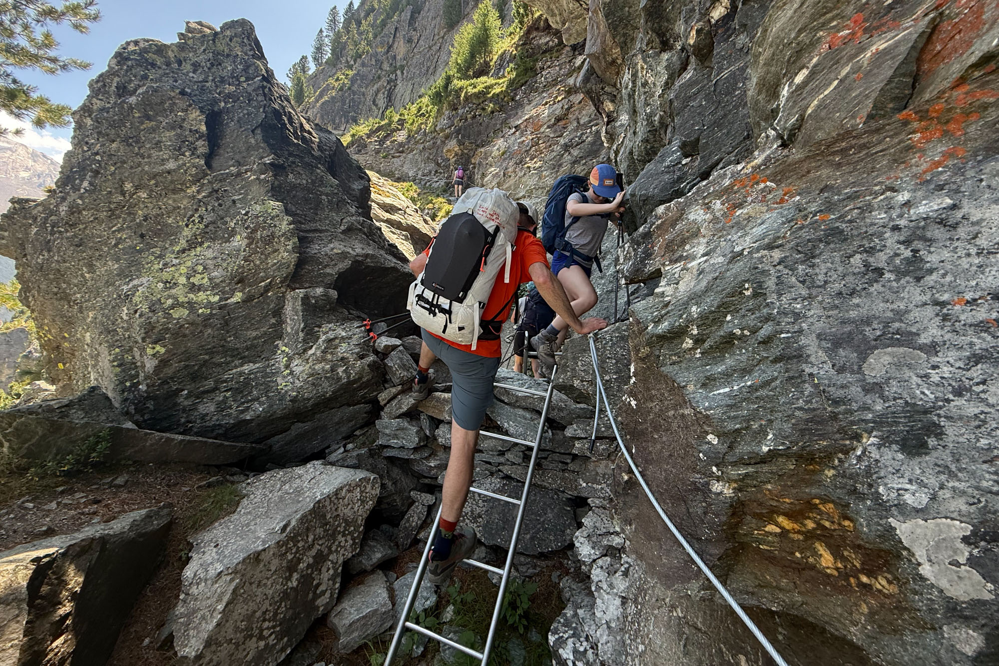
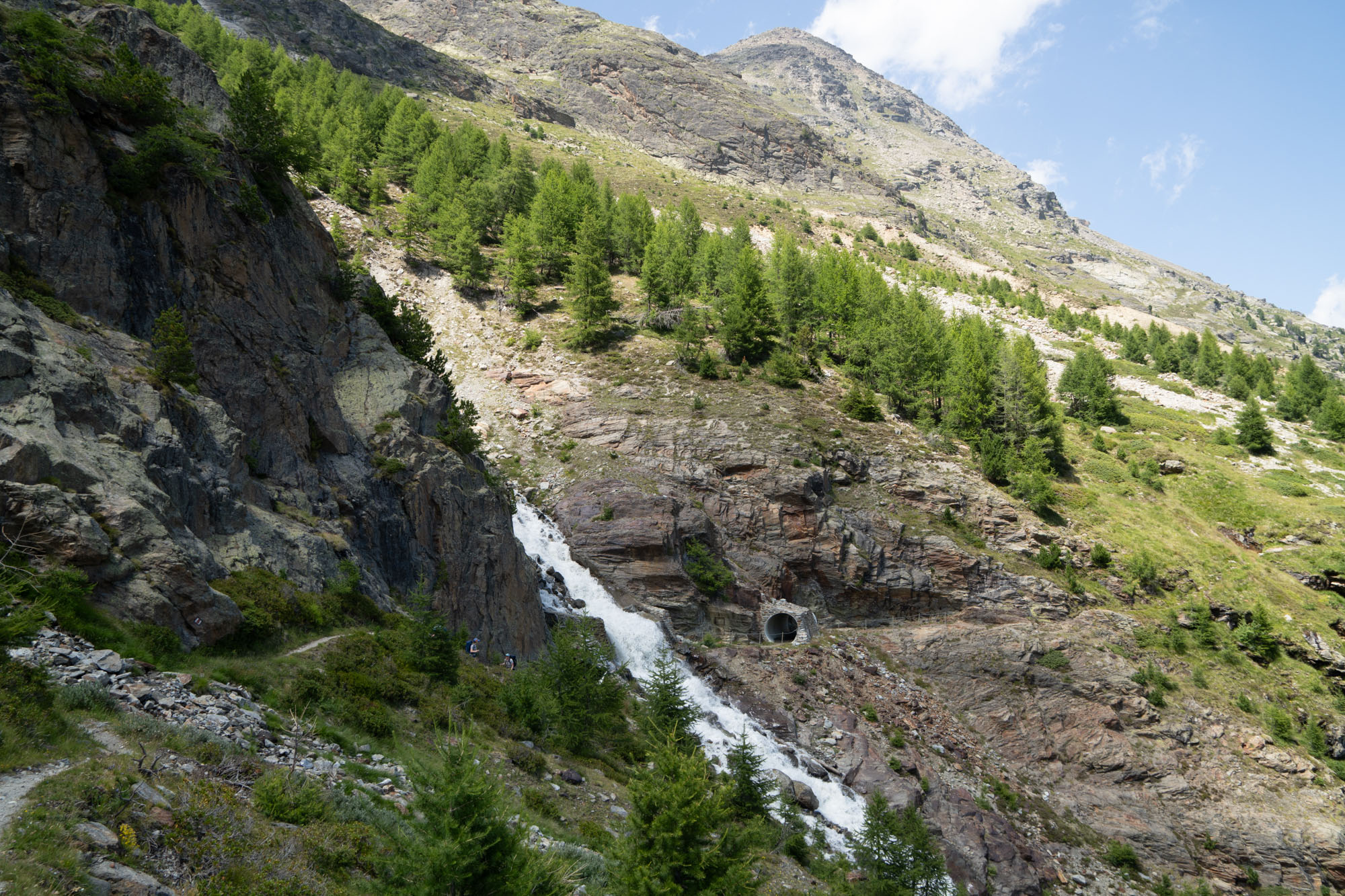
We started the morning with a tram ride out of Grächen which saved us 1.5 miles and 1,600 ft of hiking. A short climb from the top of the tram put us on the Saas-Fee Hohenweg (High Trail) – an exposed balcony / ledge trail that traversed above the valley 3,600 ft below. This stage was truly one of the highlights of the trip. Ibex bolted off the trail as we approached and the dizzying heights kept us focused. The narrow single track trail had precipitous drops below and steep craggy rock buttresses above. The exposure continued for 10 miles with long sections where we negotiated the sidewalks with cables bolted to the rock walls for protection. Other sections had us ascending ladders, tiptoeing along rock bridges and at one point walking through a tunnel under a waterfall.
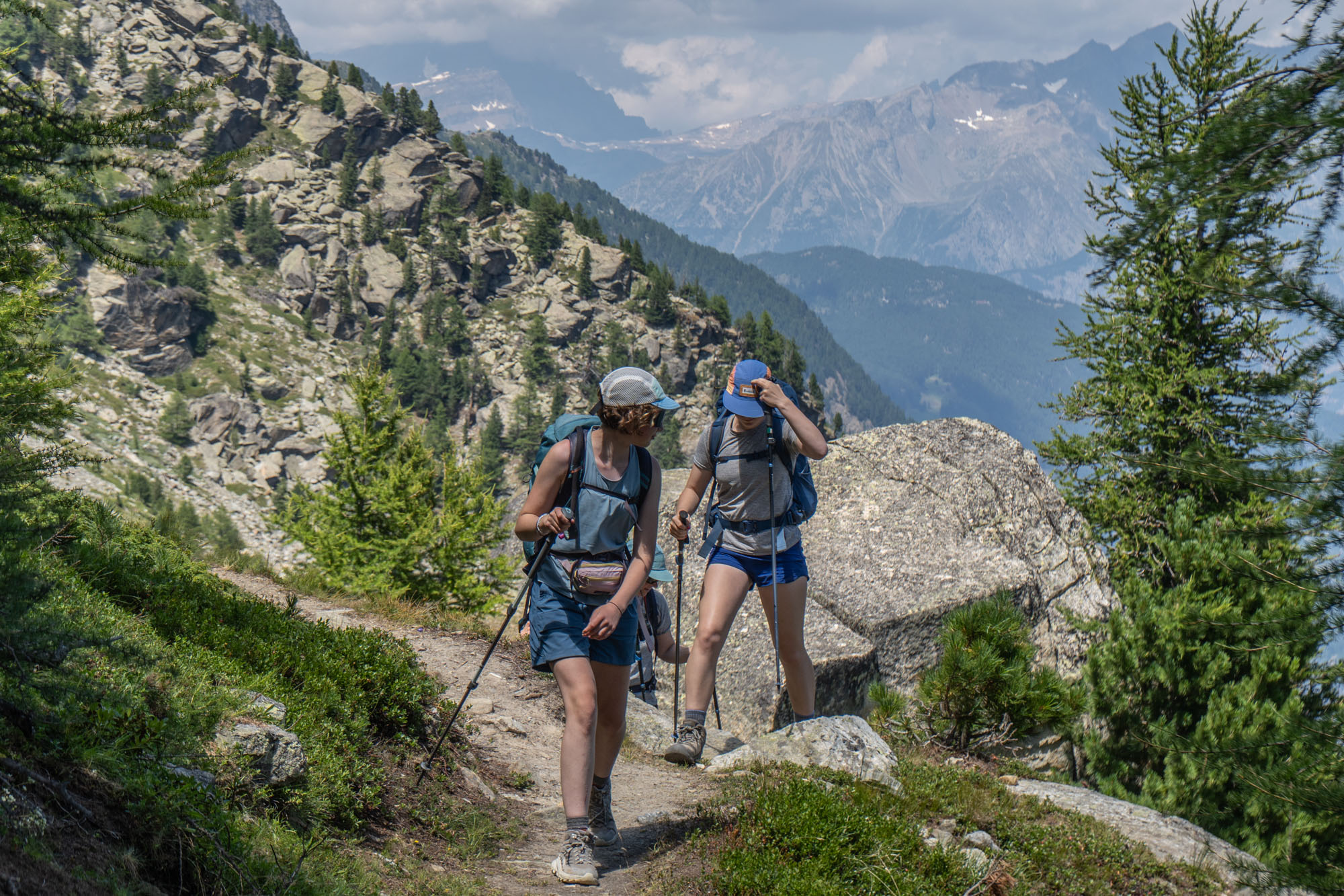
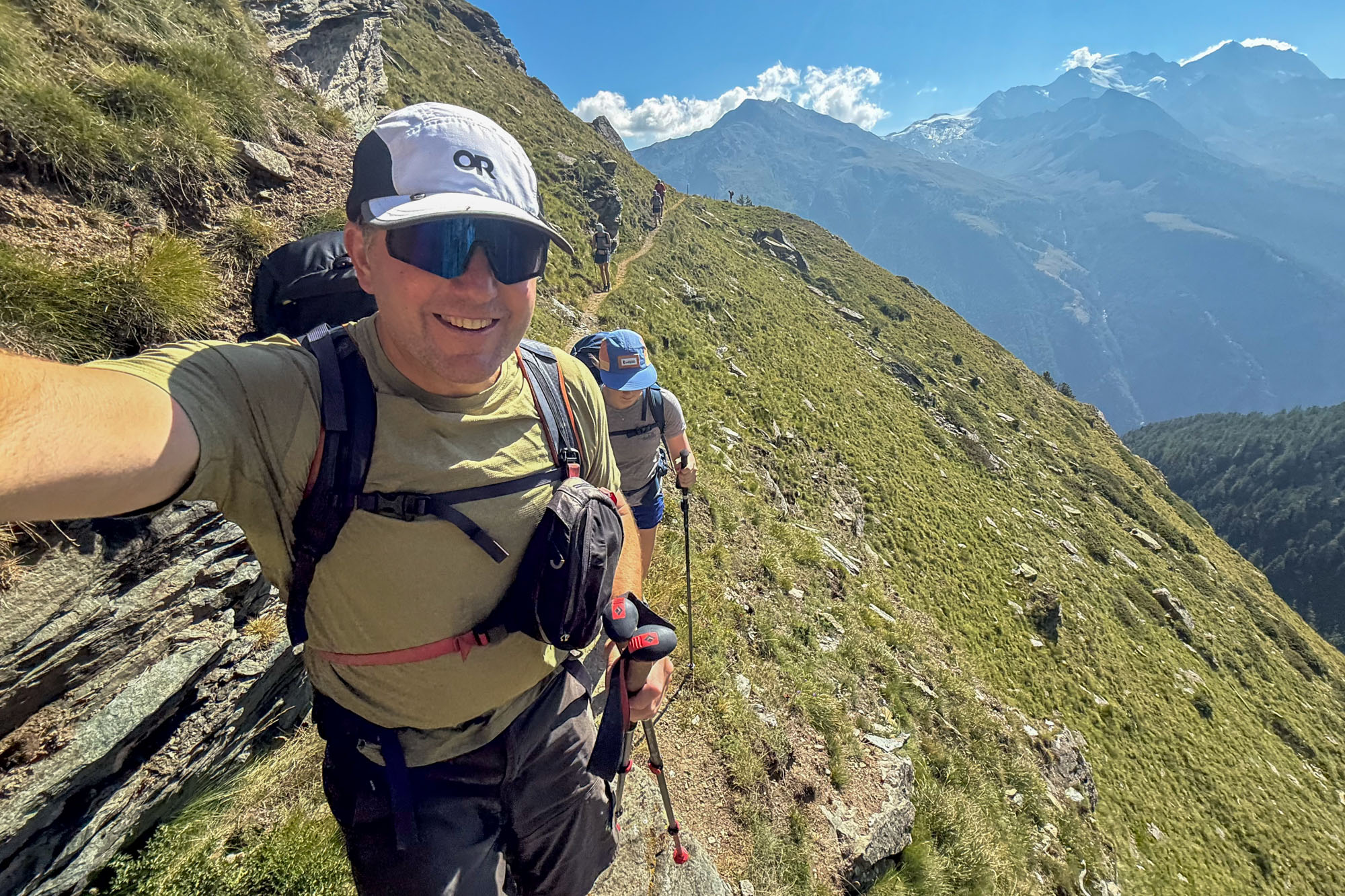
Hiking along once again the conversations returned to European vs American – specially Alaskan – approach to infrastructure. Given that every corner had a bolt and cable protecting us I couldn’t help but think of the fixed anchors debate happening right now in the US. In June the NPS, USFS and BLM released new draft guidance around managing rock climbing and officially allowing the use of “fixed anchors.” This has generated a ton of debate with many conservationists arguing that fixed anchors violate leave no trace ethics. The latest comment period elicited over 1,700 comments – with climbers generally arguing that fixed anchors are necessary for safety, while others argued that anchors “surrender the integrity of the Wilderness Act”.
Where we were hiking we had an entire government devoted to building infrastructure that would encourage people to recreate – while back home we had an outspoken group arguing that allowing fixed anchors encourages overcrowding. The American approach to wilderness seems to be an all-or-nothing mentality. Conservationist argue against trails and fixed anchors fearing that giving an inch will mean they lose a mile, On the other side we have a pro-development lobby that wants to undo every single environmental protection put in place in the past 50 years.
It’s true parts of Europe have gone overboard in terms of development. Everywhere we went there were trams, huts, trails and bolts – on the other hand the absolute embrace of recreation mirrors an embrace of mass transit, renewable energy (47% of electricity Europe comes from renewables as opposed to 20% in America) and a continent-wide push to halt urban sprawl by 2050 by limited development and prioritizing food production and biodiversity. One has to wonder if an approach to encouraging access to wild places has resulted in a cultural shift that values big picture conservation (with a focus on sprawl, energy production and transit) vs American conservation which seems mostly focused on protecting parks so stringently that people come out screaming against a proposal to allow rock climbing anchors.
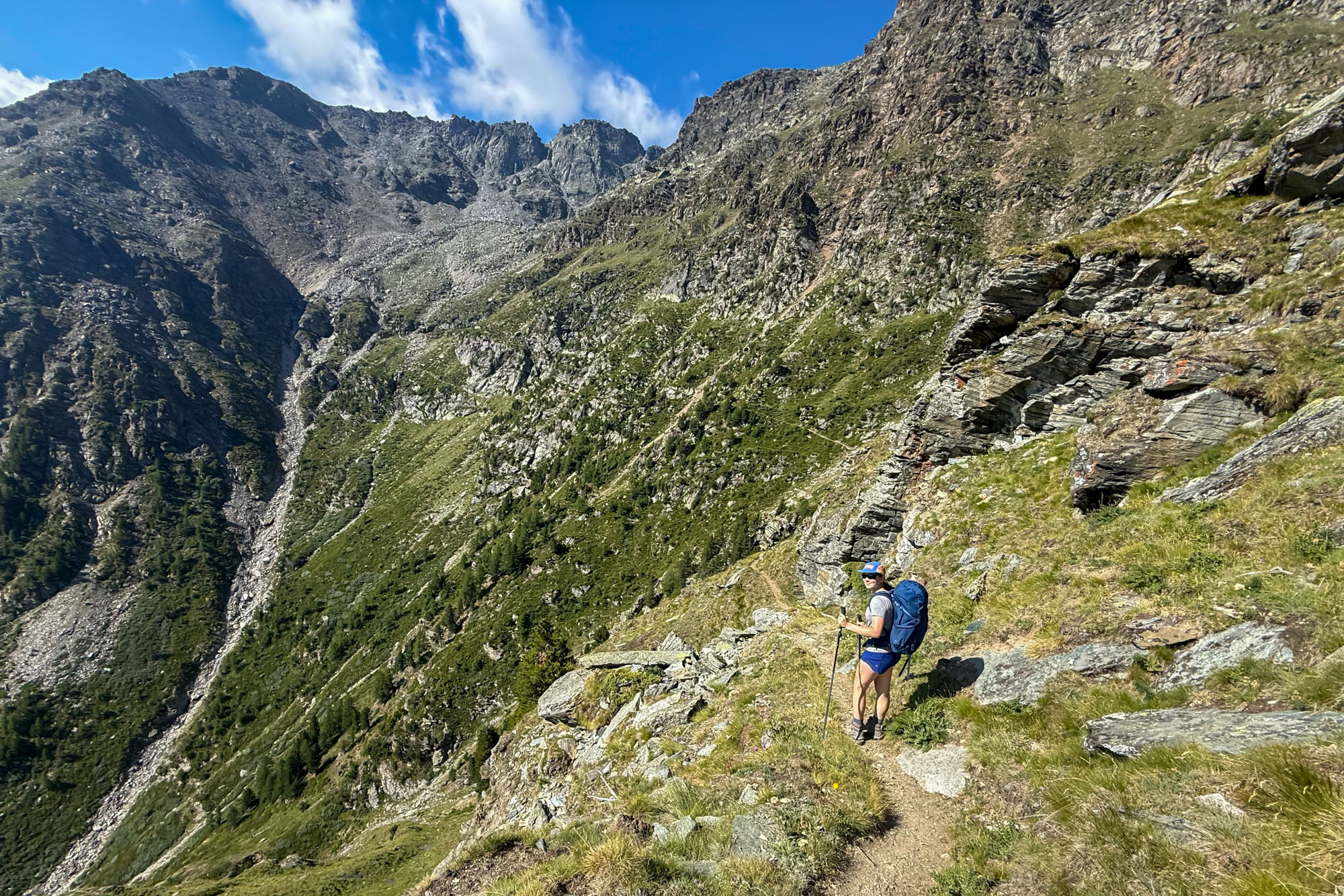
But I digress. And I really shouldn’t have been thinking about big picture stuff when I had a 13 year old hiking along a trail where a misstep could have lead to serious injury. So I tried to not go down the where did America go wrong train of thought but at the same time tried not to yell at my kid too much when she did stupid kid stuff like monkey bar on the cables with a 200 ft drop directly behind her.
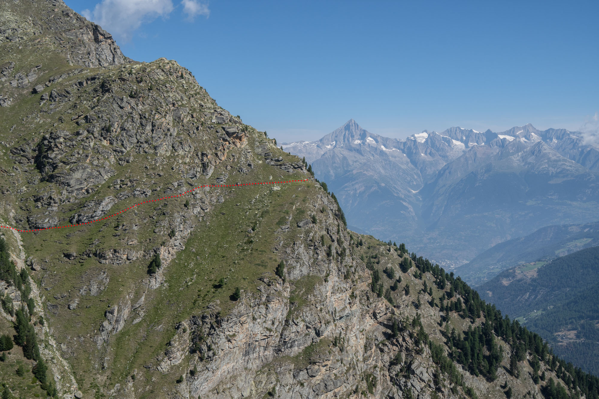
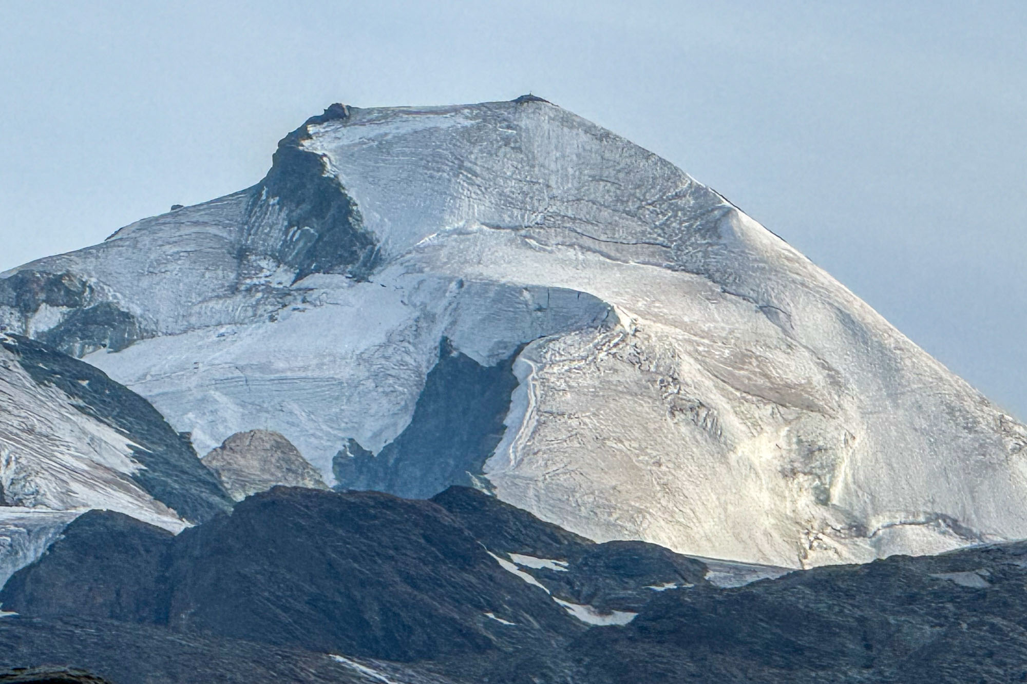
We hiked on. 6 hours of exposed ledges under glaciers, 14,000 ft peaks, waterfalls and rockfall. And then the long descent down in Saas-Fee. Isabelle went physically downhill with lots of complaining about her feet which caused me to reply, “Yes – my feet hurt too” – a response that, surprisingly, did not go over well. As we descended the heat climbed and progress slowed to a crawl. But we finally made it to Saas-Fee – the “Pearl of the Alps” – where Isabelle and Aven soaked in the hotel hot tub and we ate gelato under the 13 glaciated peaks above 4000m / 13,123 ft that rim the town.
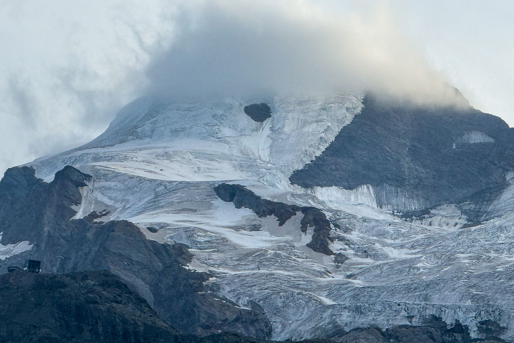
And an aside: upon entering town we stopped at an outdoors shop and asked for a bootfitter to check Isabelle’s shoe size. A quick check and we were informed that her old boots were 1.5 sizes too small. He got her into some property fitted boots and the pain went away instantly. “That would explain why she was complaining about her feet,” I told the bootfitter. “We should have probably checked that before we left home,” I added.
The Swiss-German boot fitter looked right at me, and in deep deadpan Terminator-isk voice he said: “She will remember this forever.”
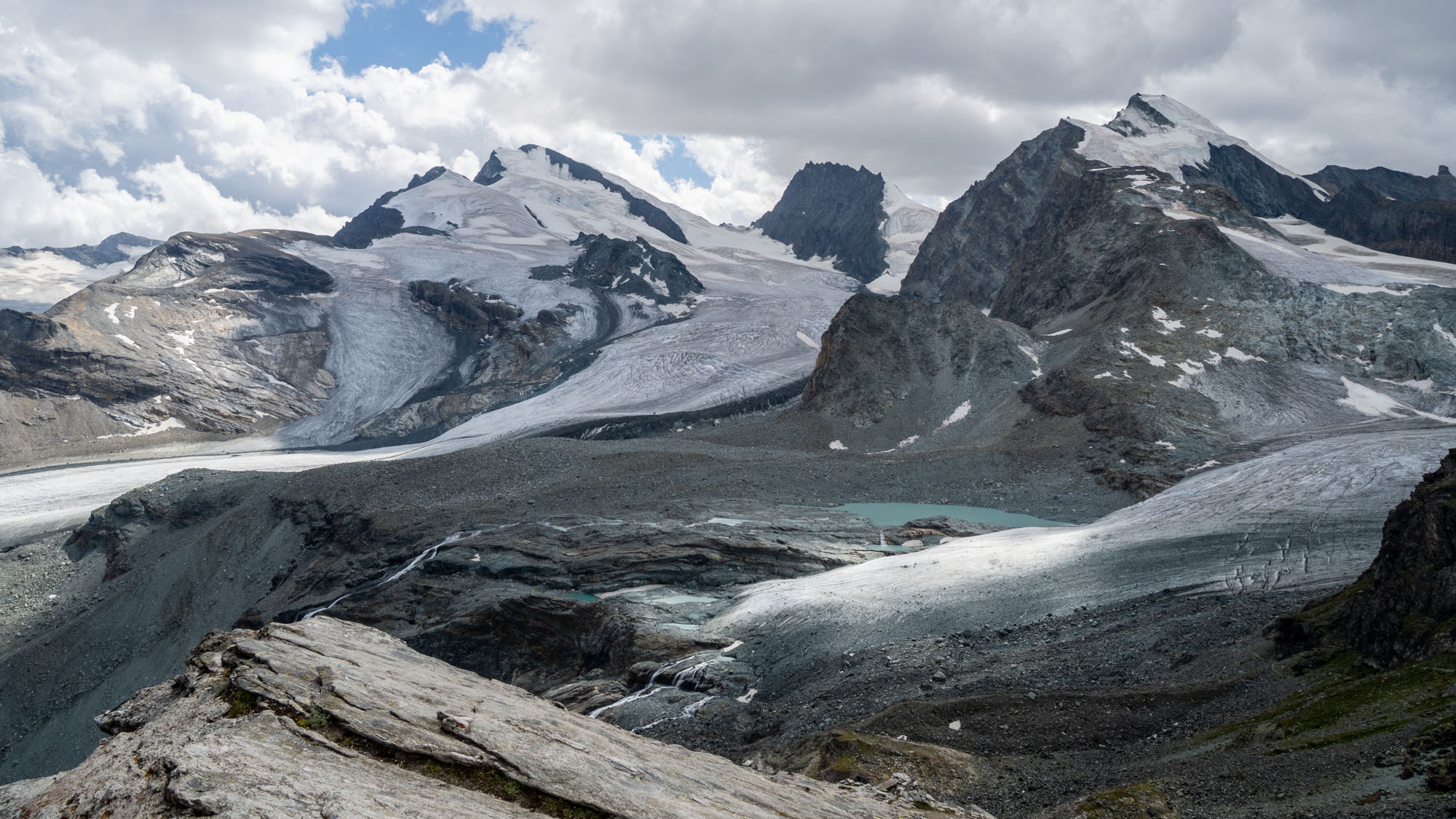
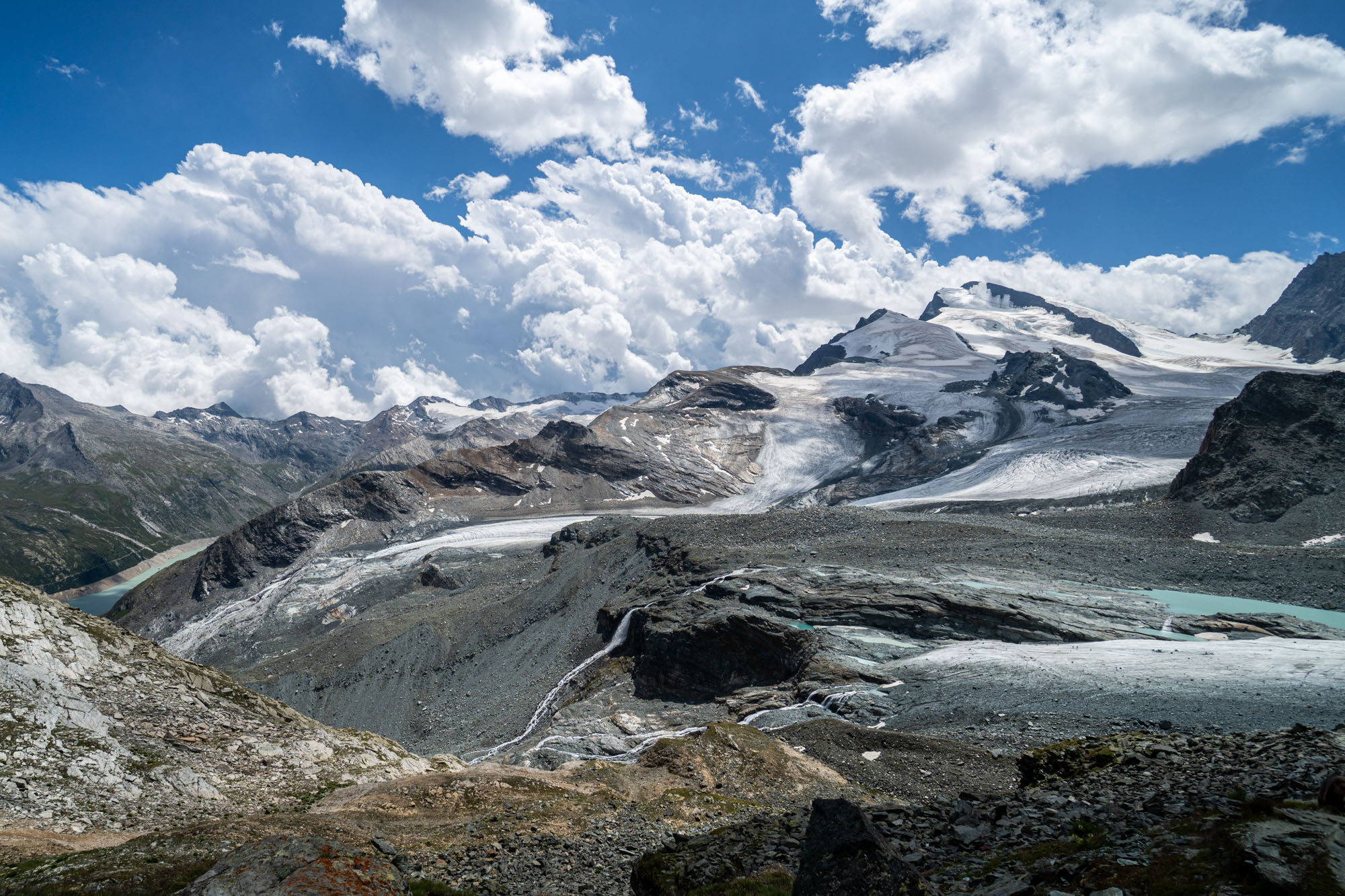
Looking across at Strahlhorn (13,747 ft) – the peak center left – and the Allalingletscher from just above Britannia Hut.
Day 4: Chessjengletscher traverse to Britannia Hut
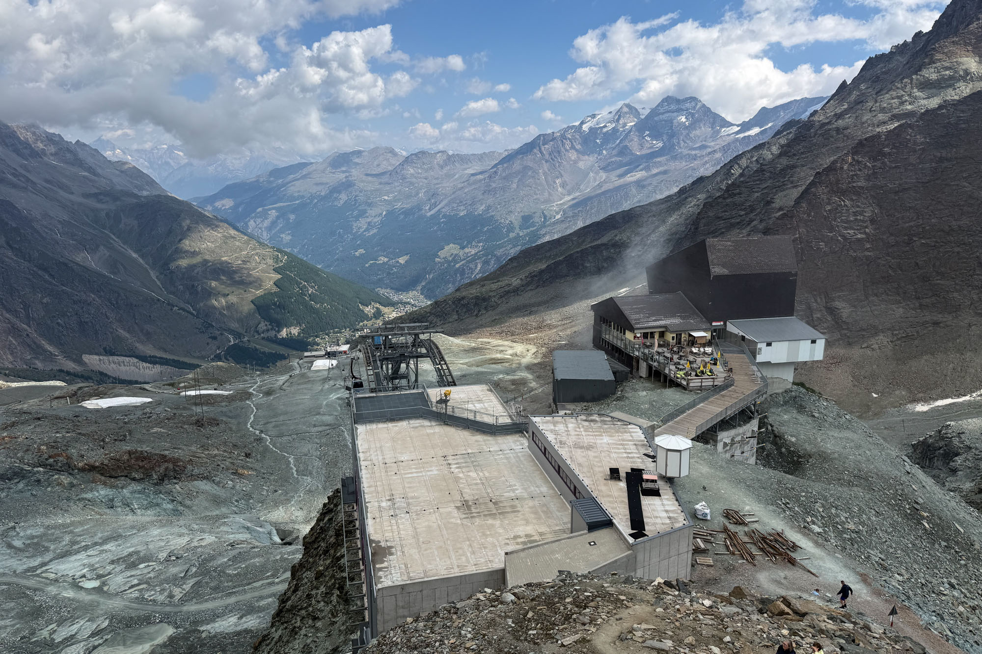
Our fourth day was more or less a rest day. We had plans to take the tram up as high as possible and then traverse across a glacier to gain a trail that would take us to the Britannia Hut. The tram would take us up 3,800 ft and then we’d have a leisurely 4 1/2 mile walk with 1,500 ft of elevation gain to the hut.
We had a lazy morning and were finally walking by 10am. Across town, then taking two trams up almost 4,000 ft to the Morenia Station at 8,400 ft. This is the lift that summer skiers take to gain the summer training groups which is accessed via a 5,000 underground funicular that traverses under a ridge and glacier to gain the upper mountain.
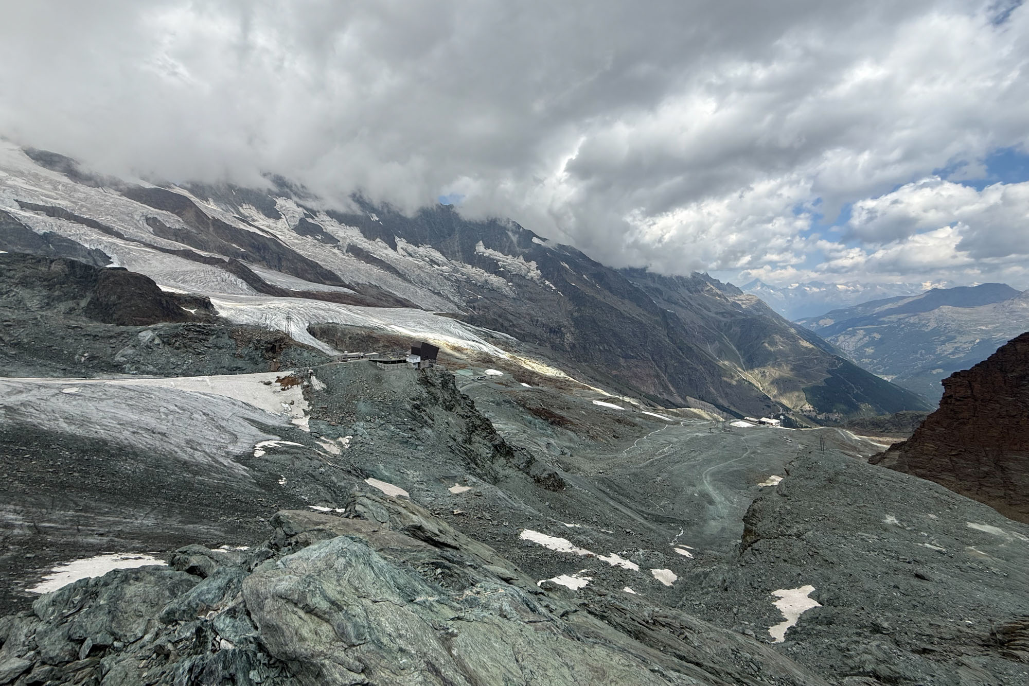
At the Morenia station Louis and I scoped the glacier crossing and rockfall zone that we’d need to cross while the girls ate pie in the cafe. We stared at it for an hour, then grabbed our microspikes and walked across and back. It was an easy crossing – with just under 10 minutes of exposure to rockfall. We walked across and back without issues and then stared at it some more.
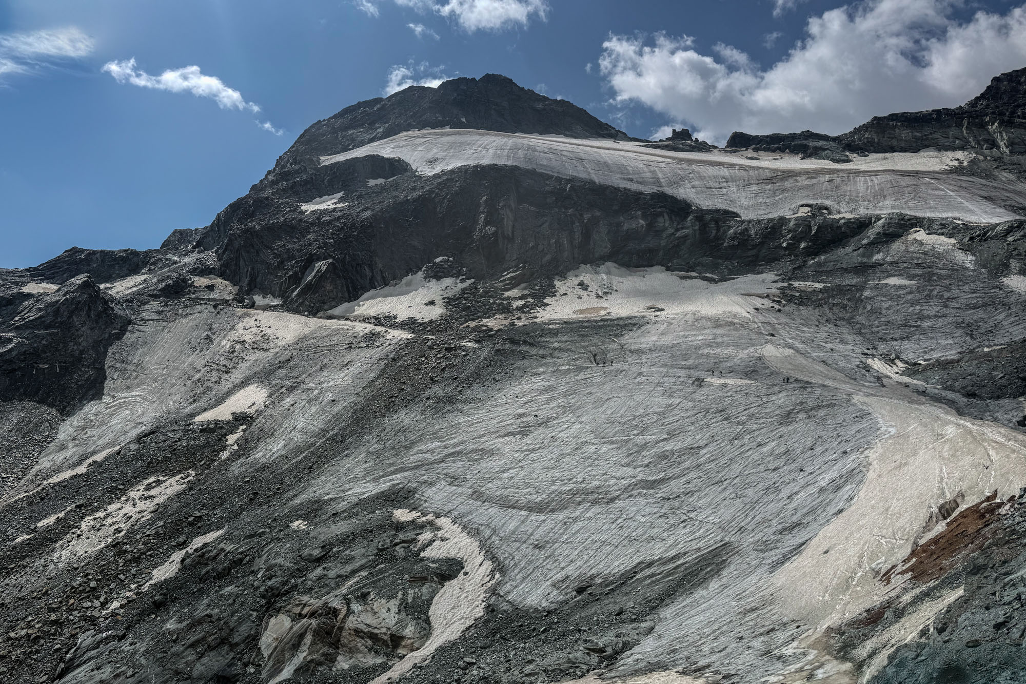
Eventually we decided to go for it. We explained to the children how they needed to pay close attention at all times – and when, and how, to run if we told them to. Then we spread the groups apart (mostly because Isabelle and Aven start talking and go into their own world where parents are ignored) and set off. We moved quickly and efficiently across the glacier and through the rockfall zone without any issues and were soon at the Egginerjoch junction that would take us to the hut. A long break in the sun on the other side of the pass, then an easy walk up to the hut.
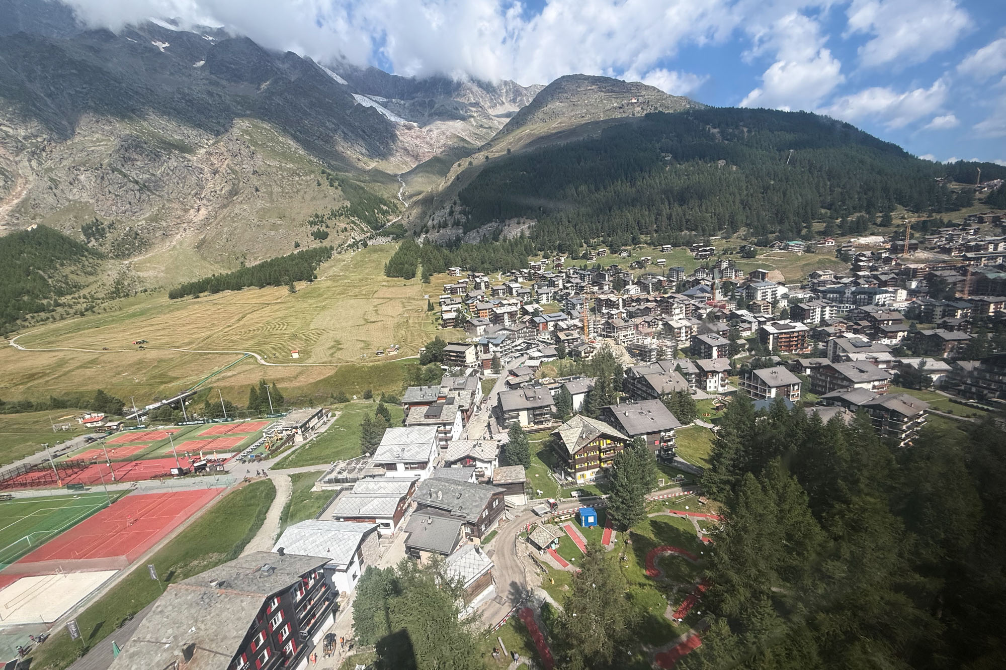
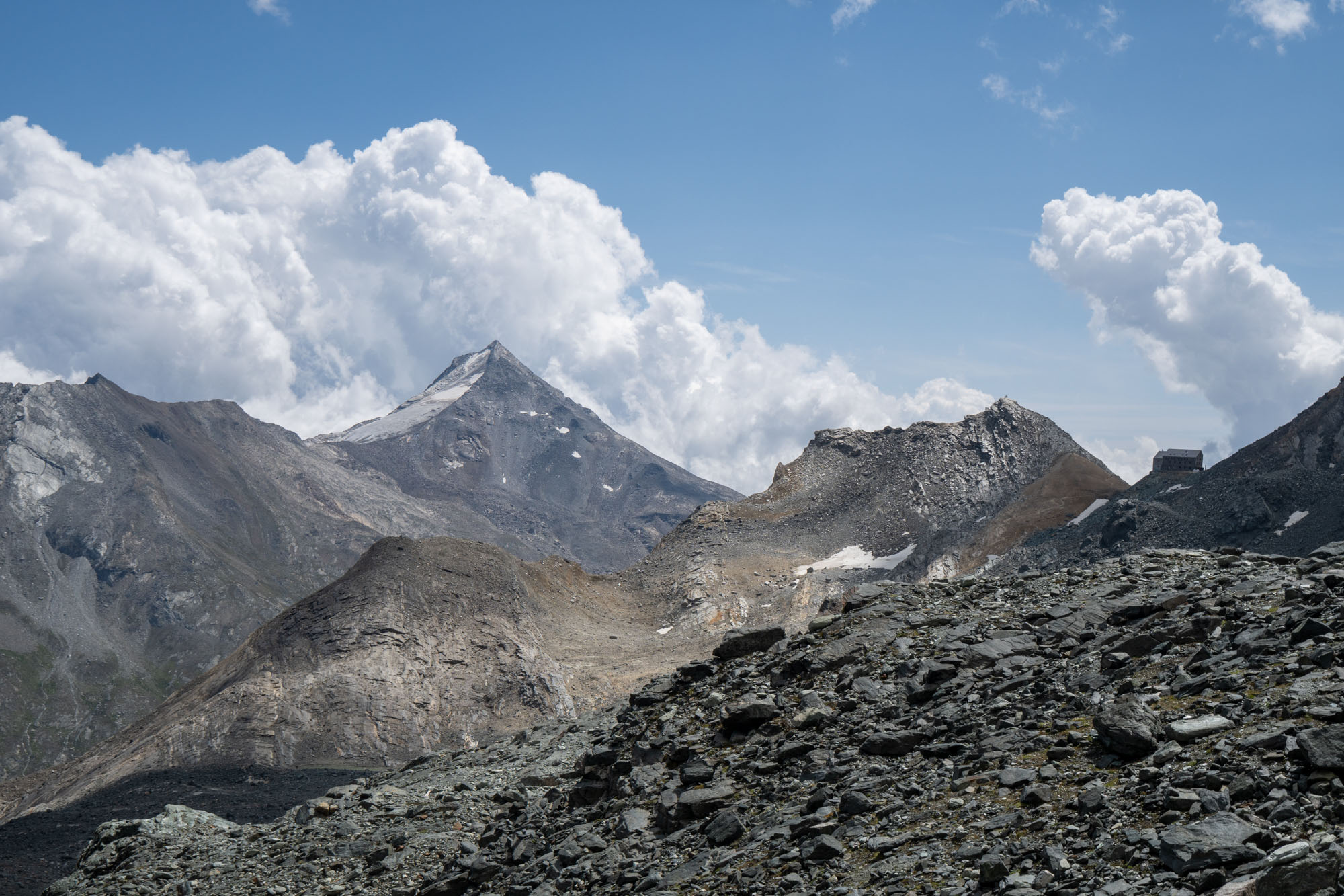
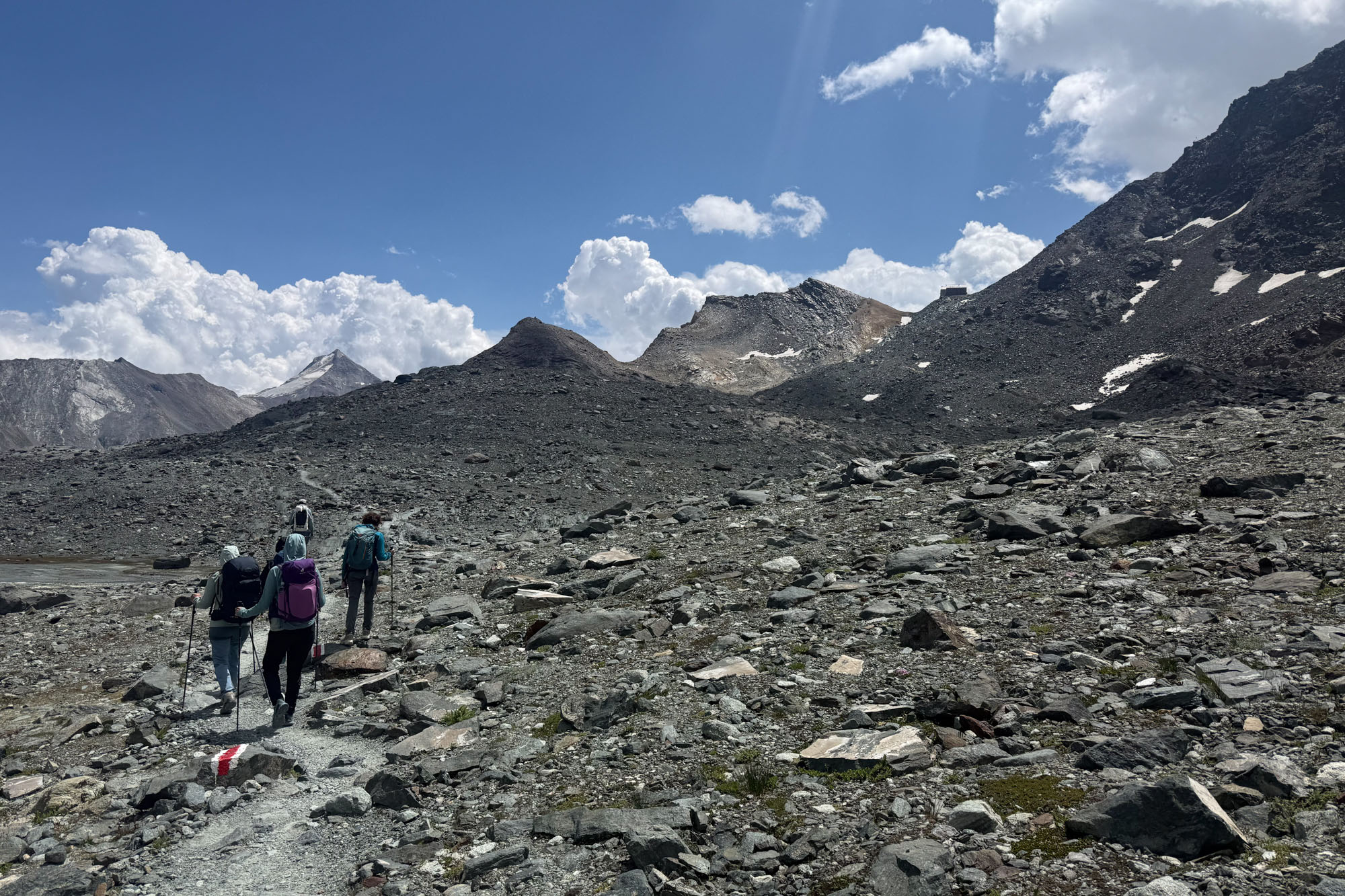
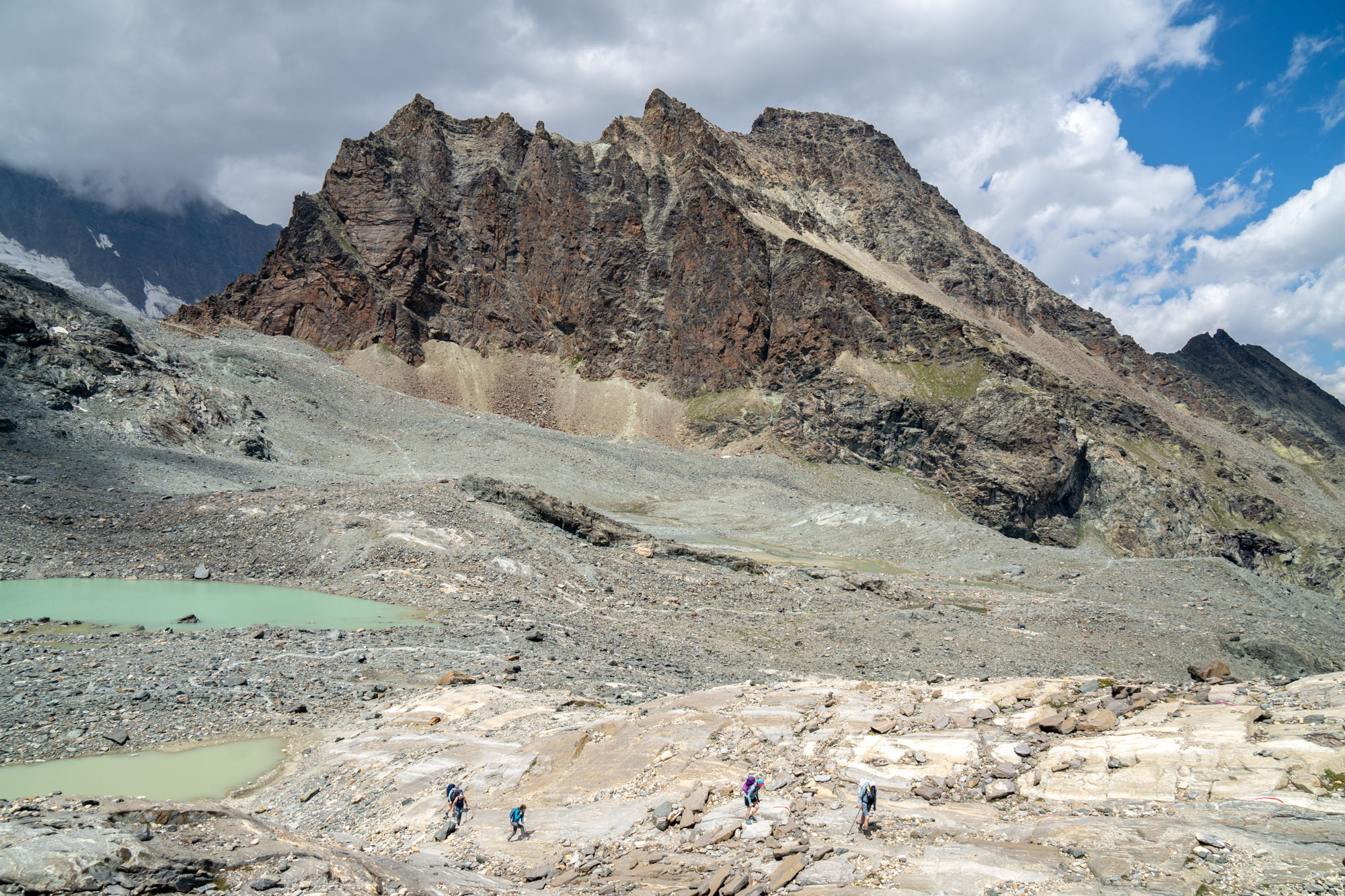
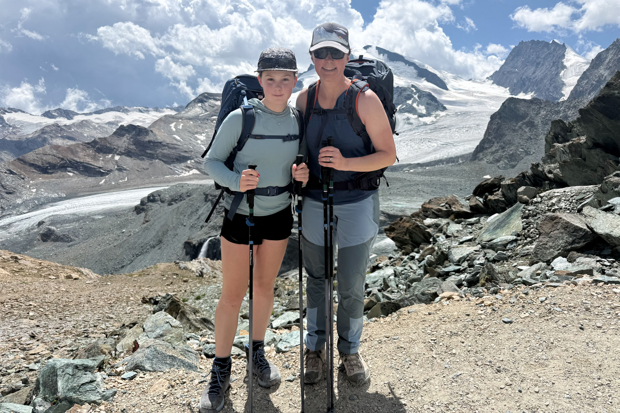
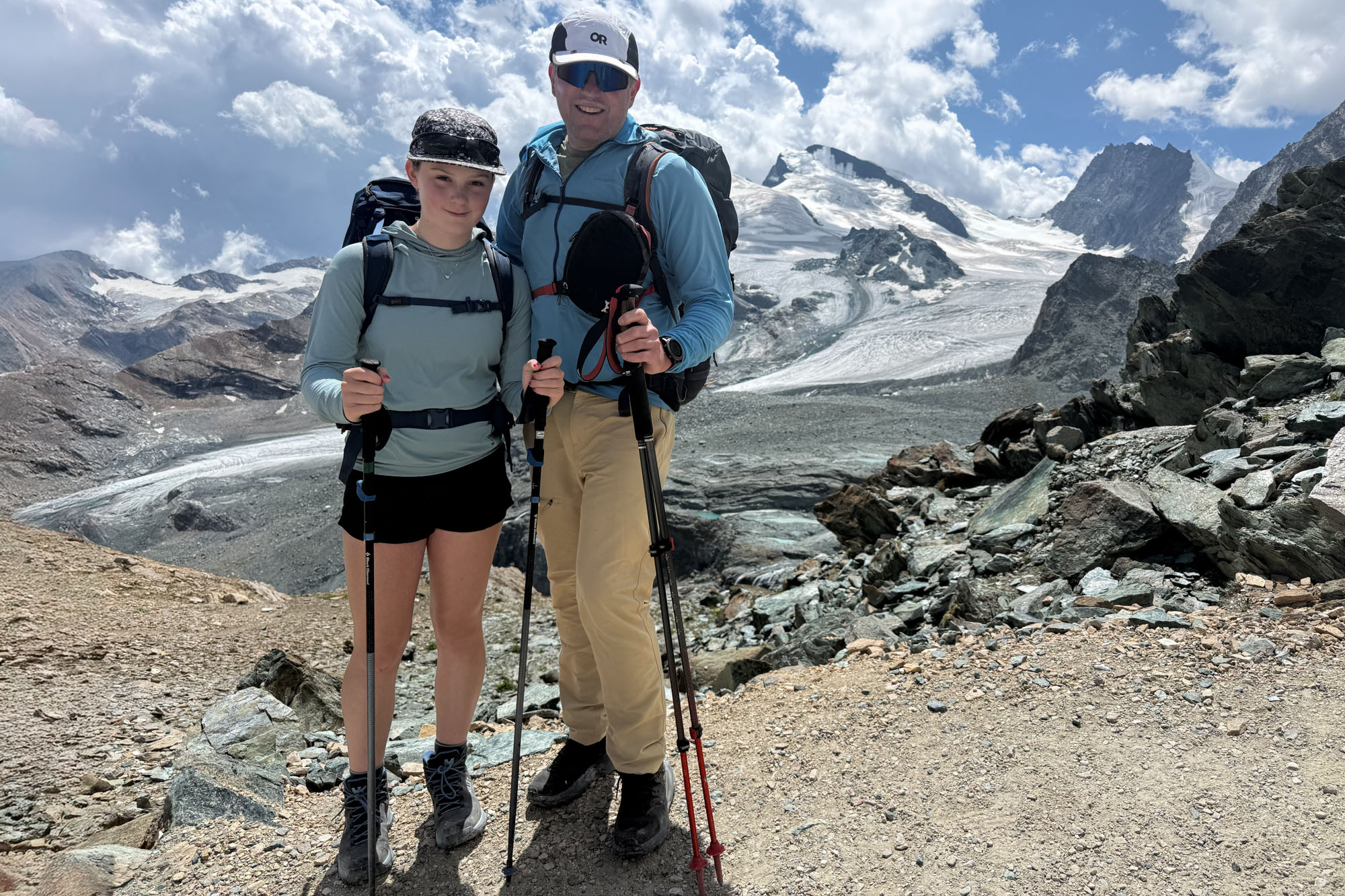
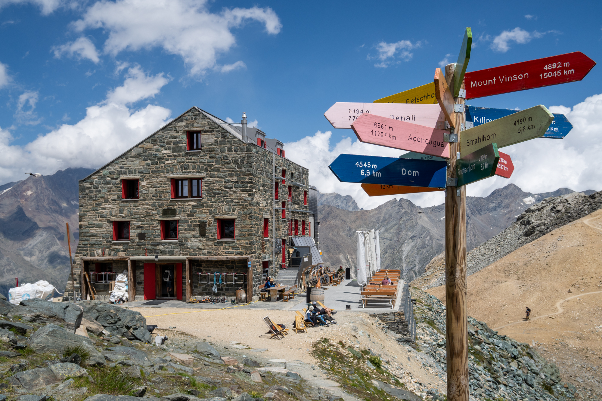
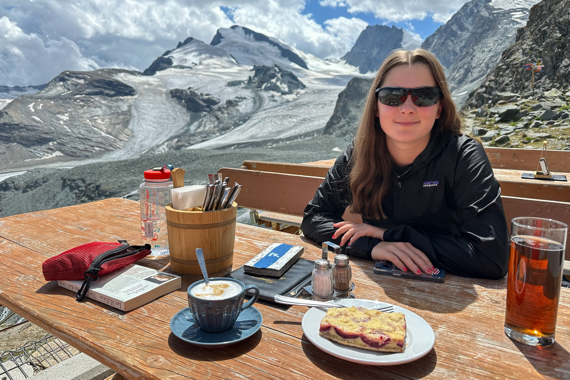
The Britannia Hut (at 9,940 ft ) was stunning. The hut first opened in 1912 and has continued to serve climbers and trekkers for over 100 years. It has 101 beds, is a staging place for many of the high peaks above Sass-Fee and has a K4 via ferrata that pretty much starts at the door. We ate a late lunch on the deck and hiked around the hut in the late afternoon, then joined the mass of people in the dining room for dinner. Our table was shared with a Spanish couple who were hoping to climb Strahlhorn the next morning and we spent the evening chatting with others until turning in and setting our alarms for an early start.
The rooms slept 16 (4 per bunk) and I was stuffed in with a guy from Taiwan while Isabelle and Yvonne got a full bunk to themselves. Lights out at 10 but at 3 the climbers sharing our room were up and packing. Our alarm at 5 and we were up and eating breakfast by 5:30 in anticipation of a full day.
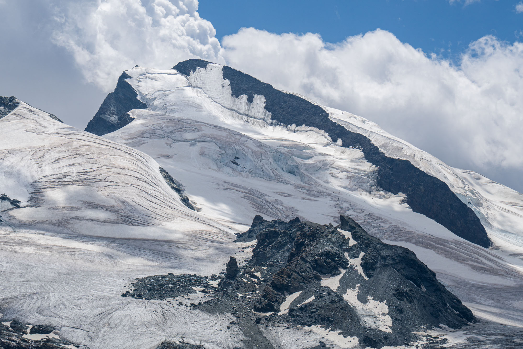
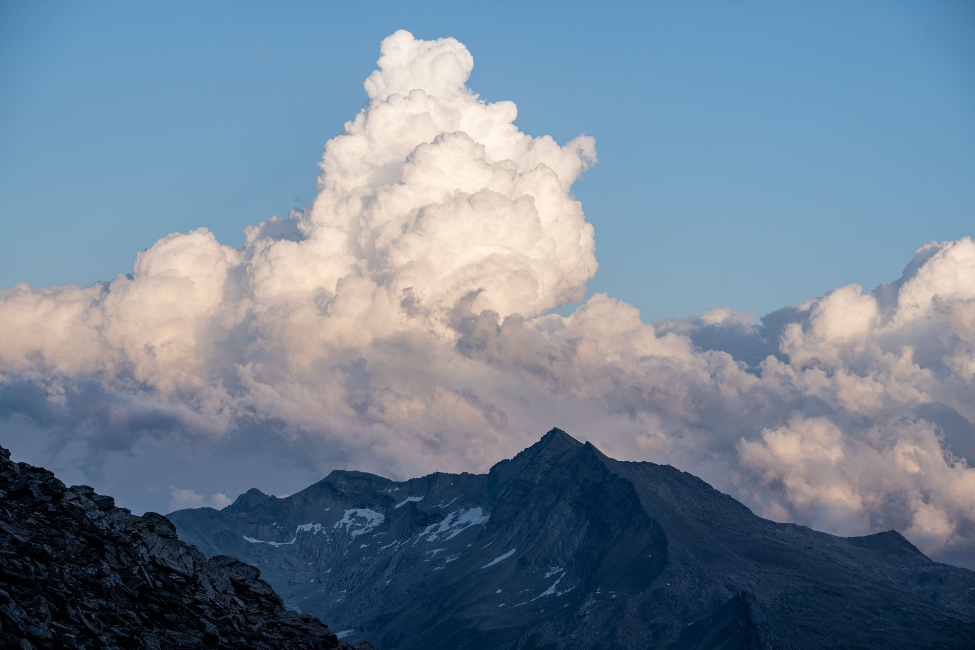
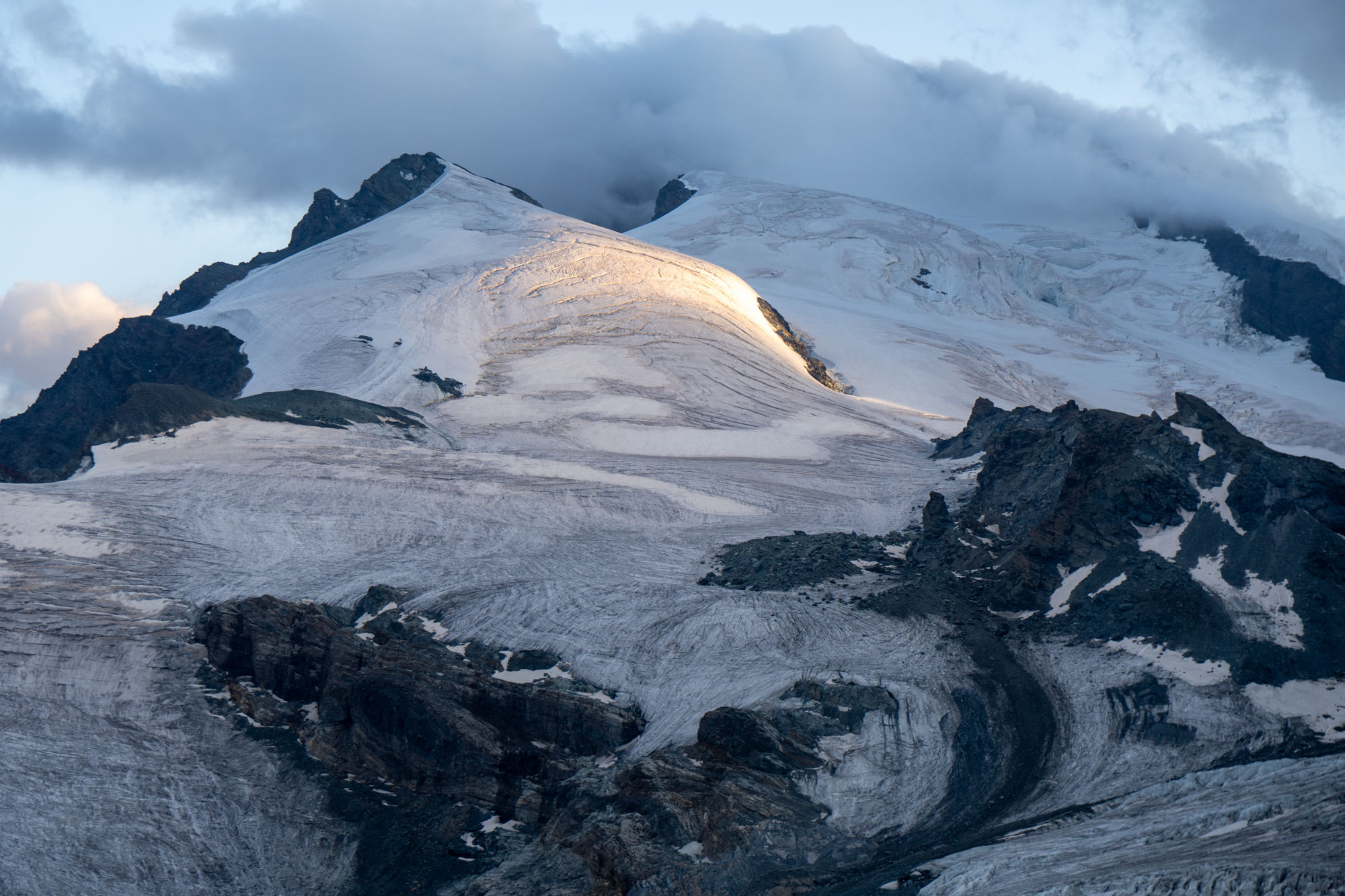
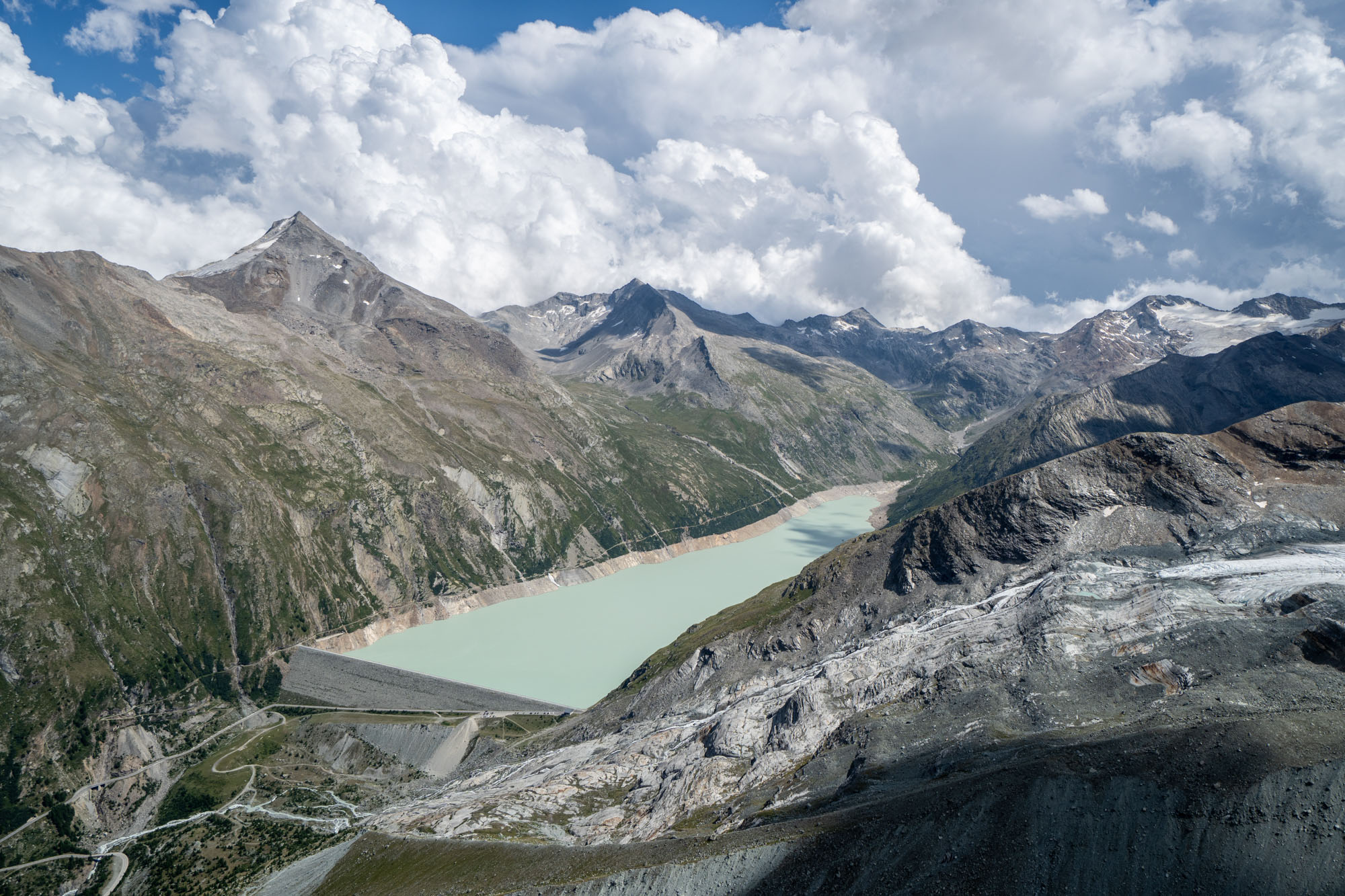
This was a wonderful sojourn. If you have the time and can make it work – stay at the Britannia. It will be one of the highlights of your trip. There are several other high mountain climbing huts in this region – but only a couple that are accessible to trekkers. Sleeping at high altitude, being among the climbers and looking out the window at glaciers and huge peaks was a great experience for the kids (and adults) and I can’t recommend it enough!
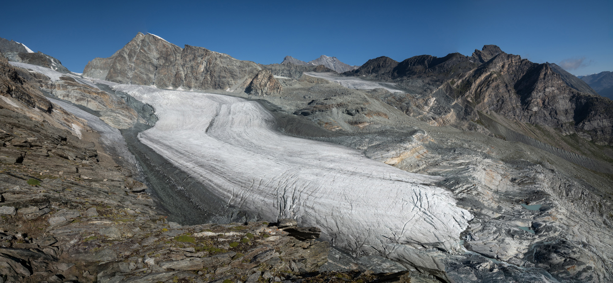
Looking back at the Allalingletscher and our route.
Day 5: Allalingletscher traverse to Monte Moro to Macugnaga
While Day 4 was easy – day 5 would be big with a gain of 2,415 ft and a loss of 7,000 ft over 11 miles. When originally planning the trip I had set up the day to include a tram ride down the pass at the Switzerland / Italy border. However over winter there was a tram accident and it was still out of commission. With that in mind we were up and at breakfast by 5:30 am. Coffee, nutella, bread, cheese and sausage and then gearing up and heading out.
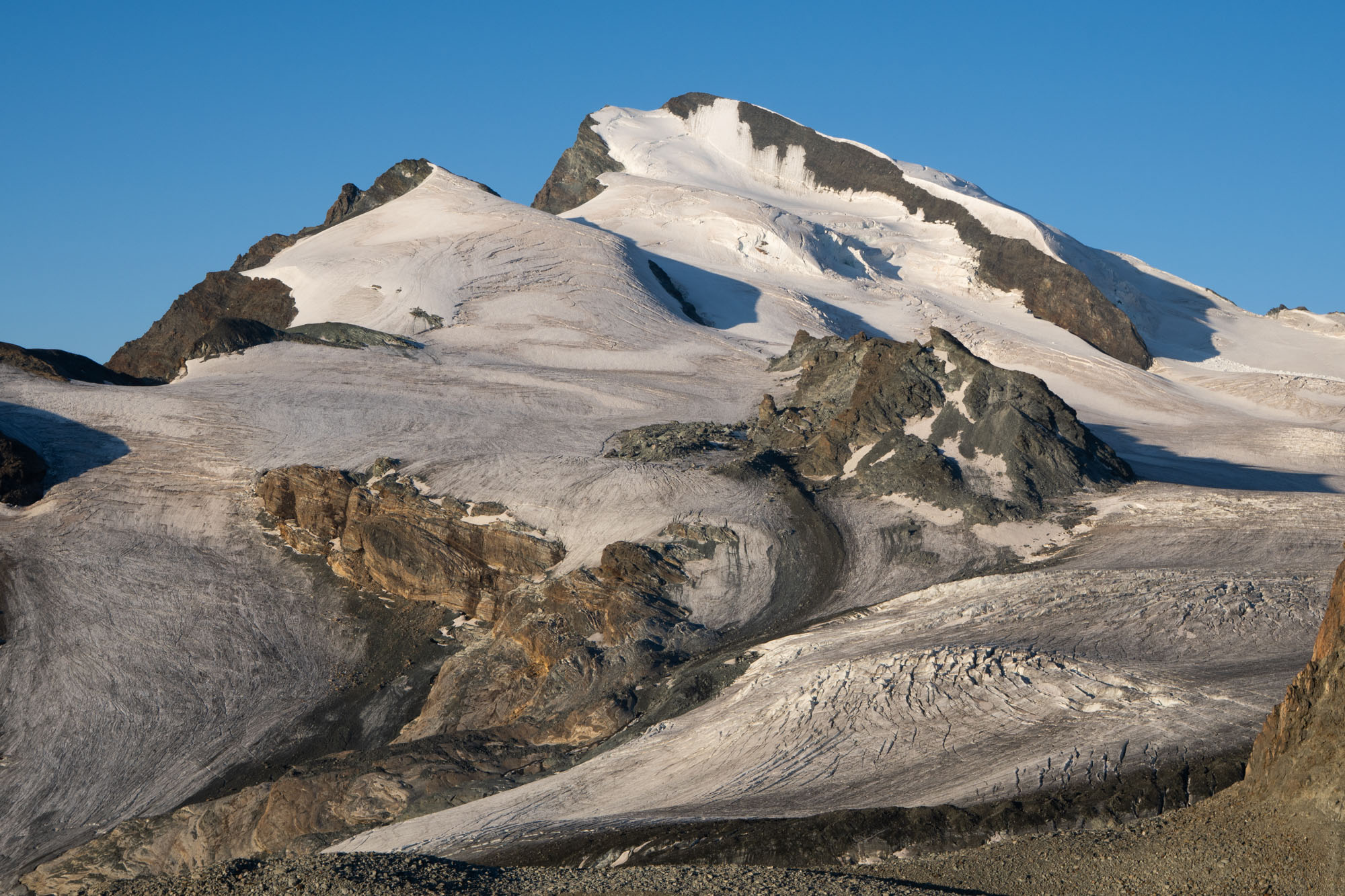
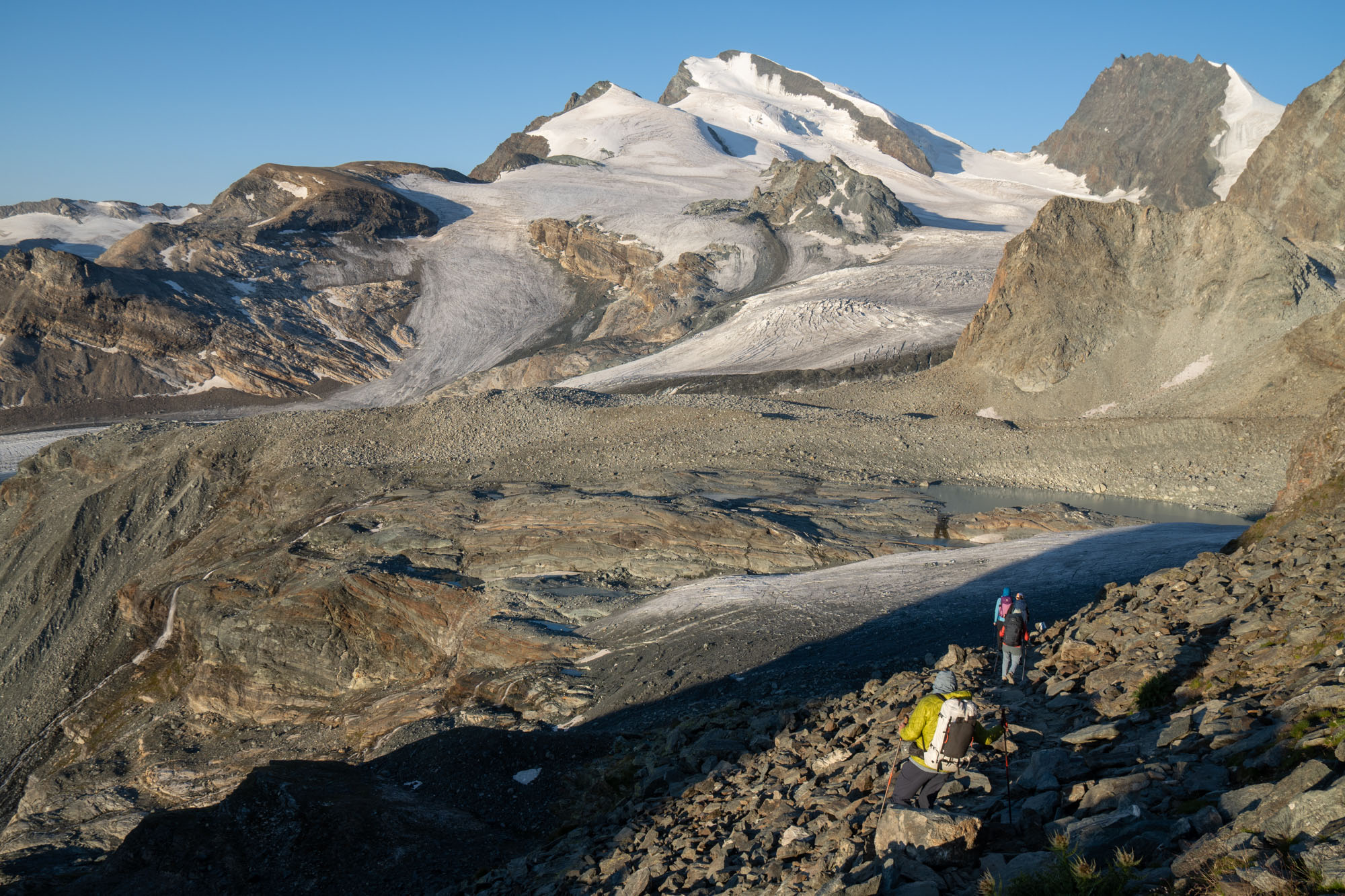
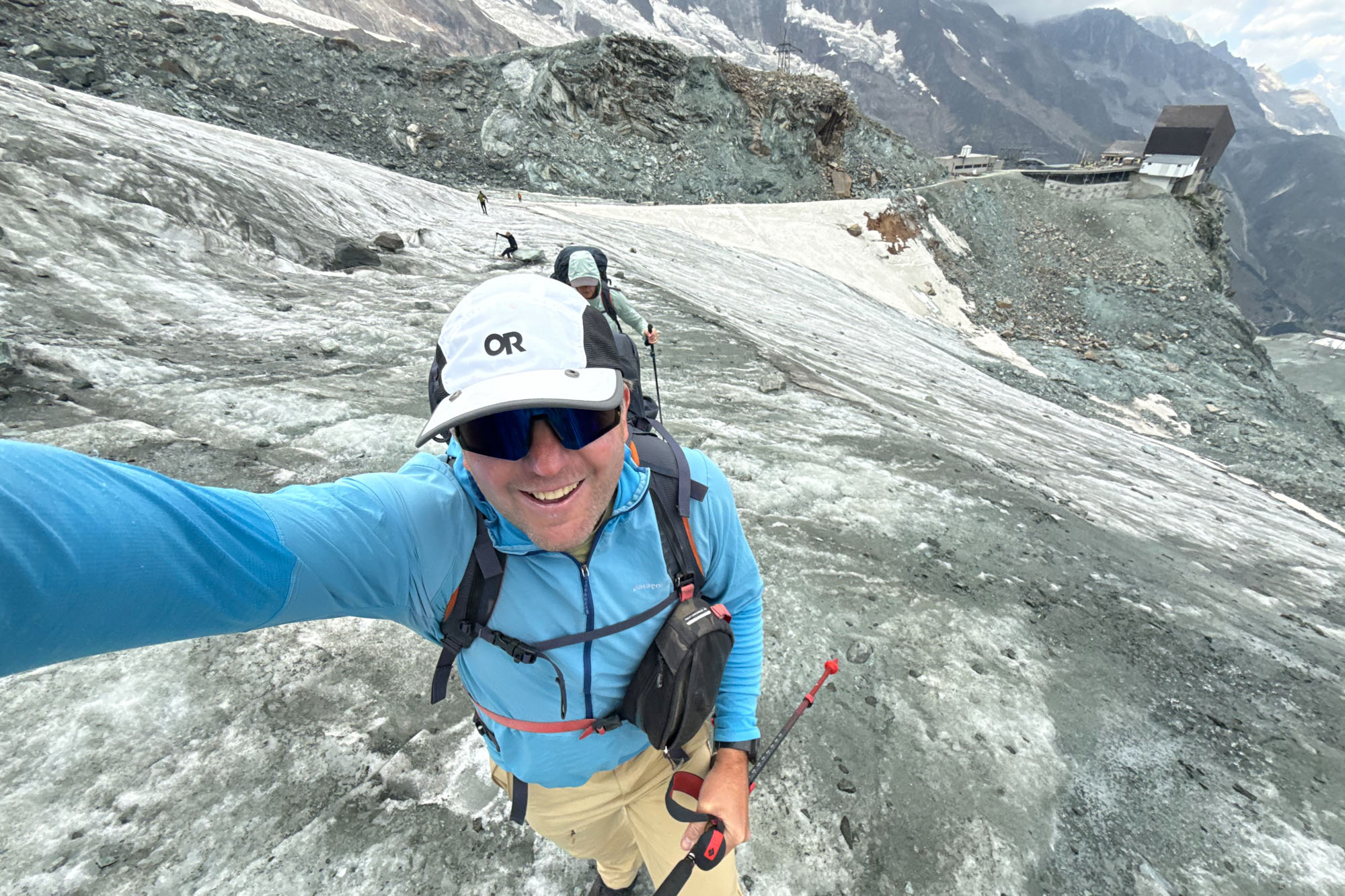
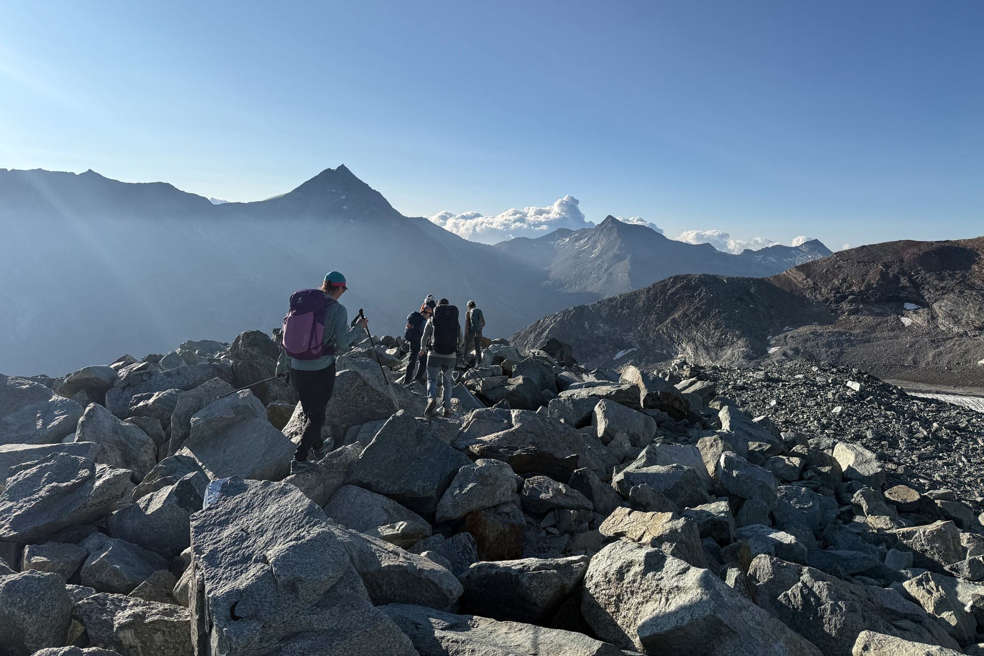
This day was also our biggest unknown. Our route had us crossing two glaciers that looked mellow from the hut – but all we had were microspikes so there was a little apprehension about what to expect. Out the door, then descending a few hundred feet and scrambling through the mass of boulders until finally getting on the ice. The first crossing – the Hohlaubgletscher – ended up being mellow with minimal blue ice to navigate – then a steep drop off the glacier and scramble up onto the ridge between the two glaciers before dropping to the Allalingletscher.
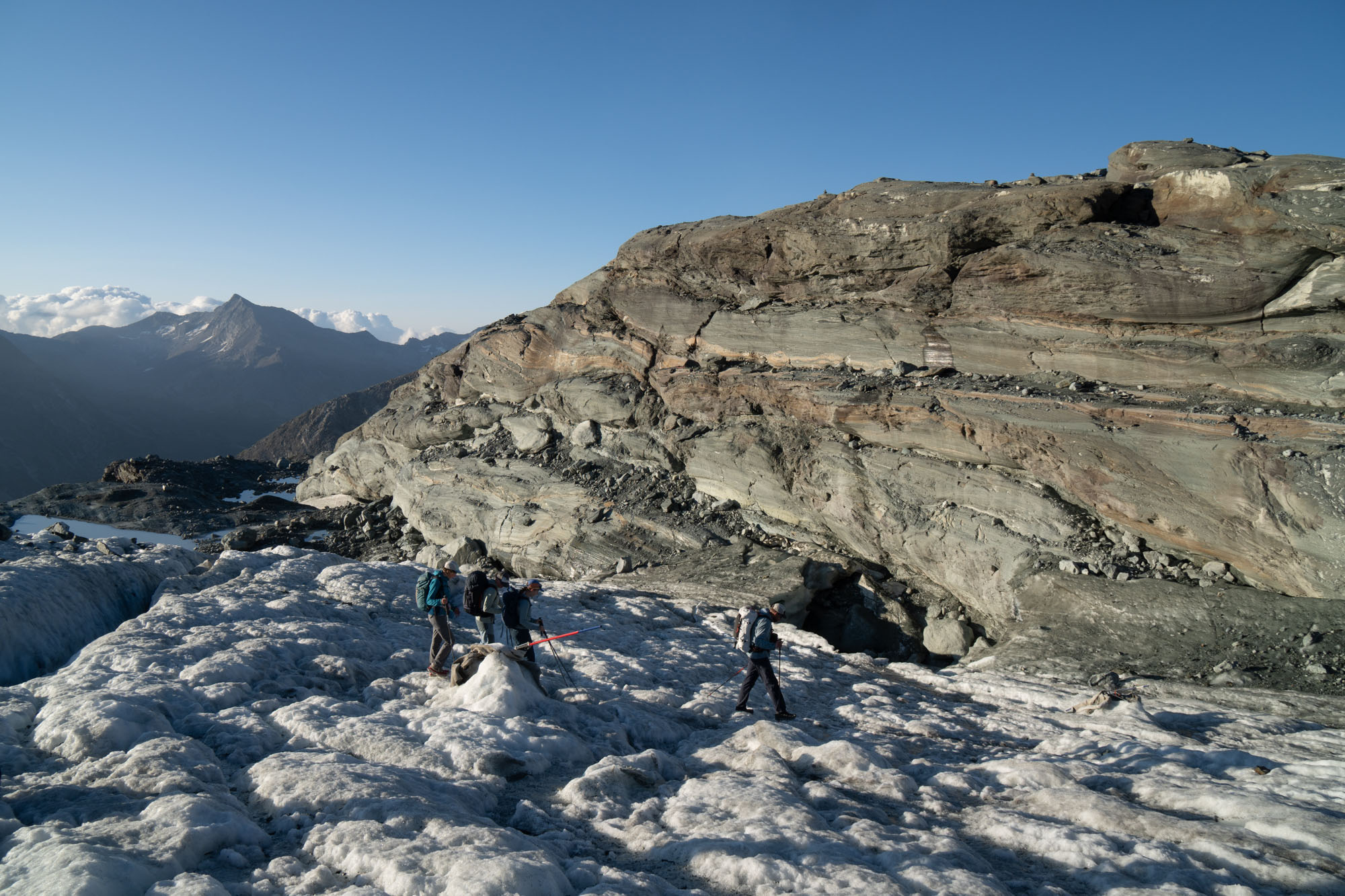
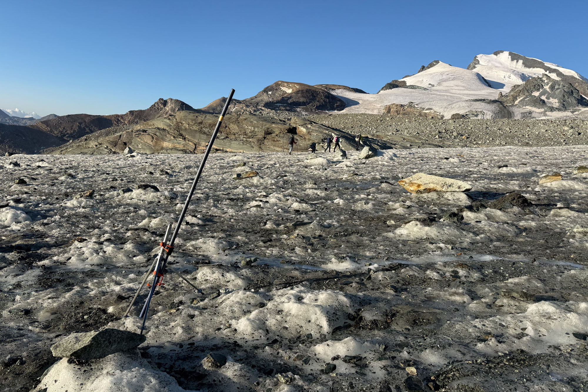
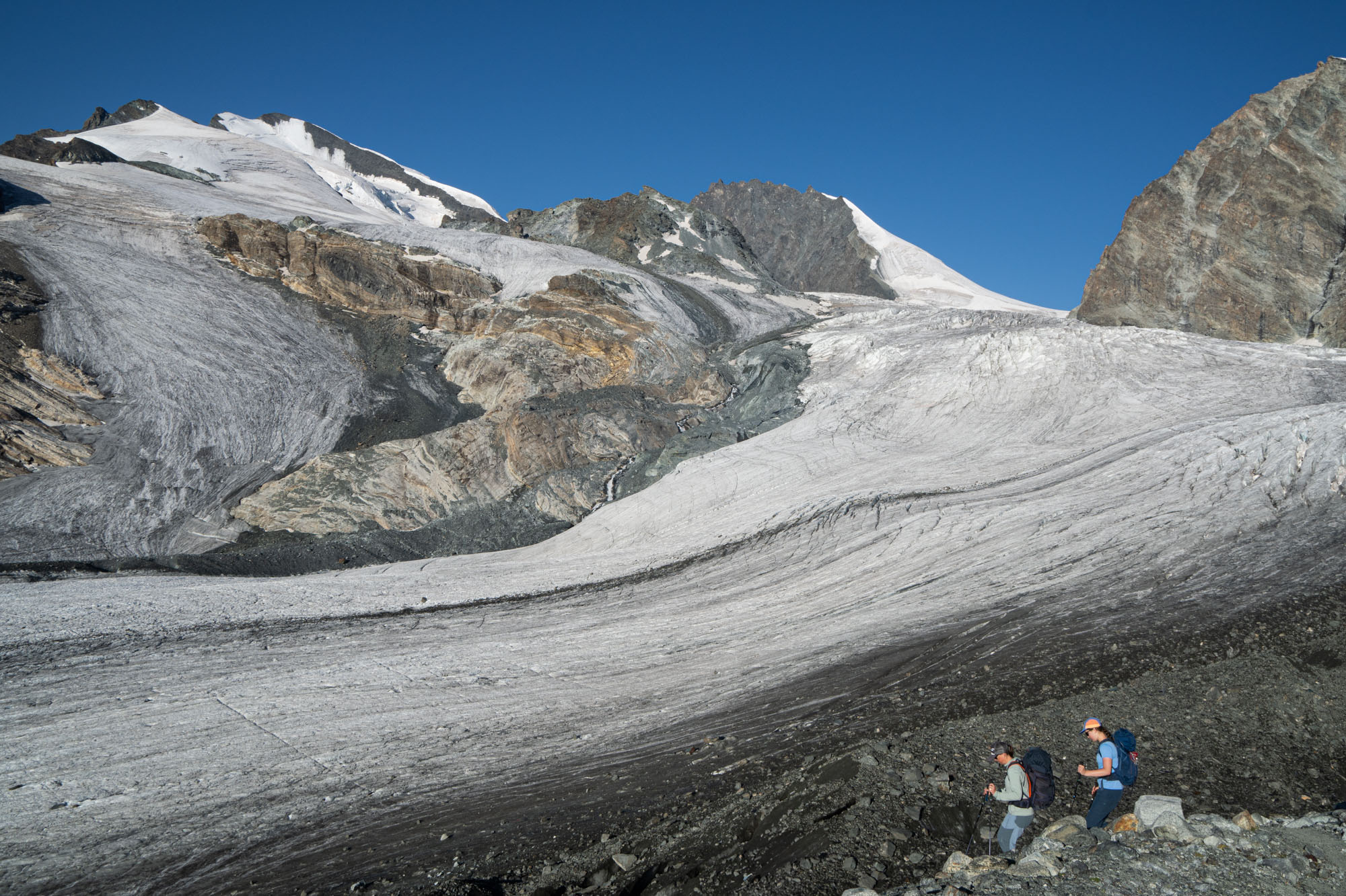
The Allalingletscher was bigger – with mini crevasses to jump and some navigating. The kids were ecstatic, it was cool and the glacier ice was fun to play and scramble around on. It was around this time that I realized I should probably just take Isabelle on mountaineering trips where she stays up high on the snow and ice as opposed to having her to hike hot dusty trails in the valley.
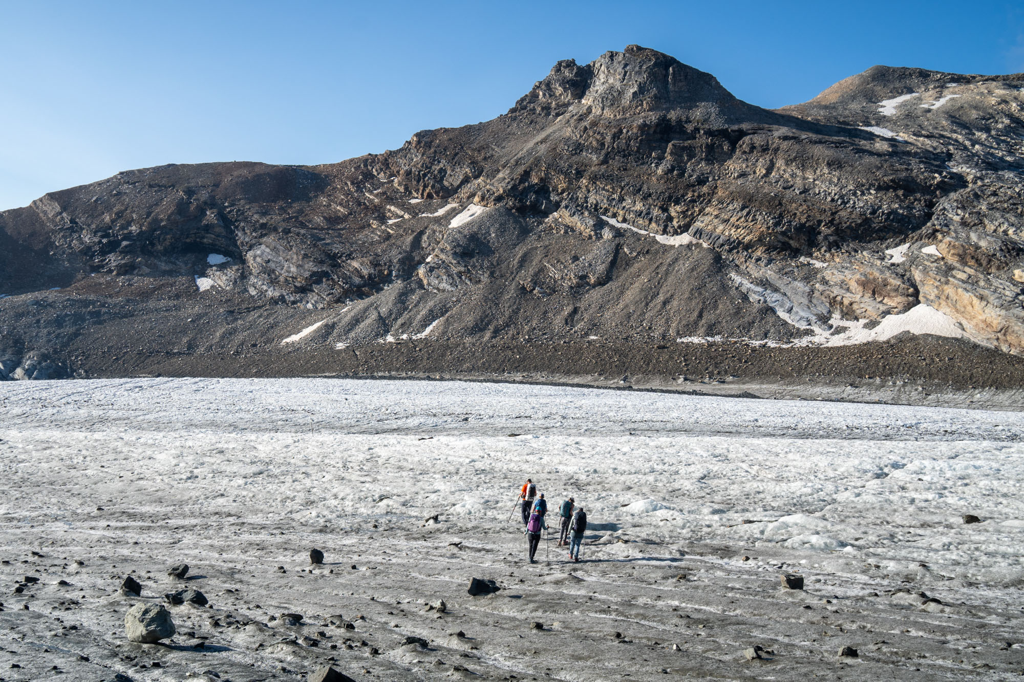
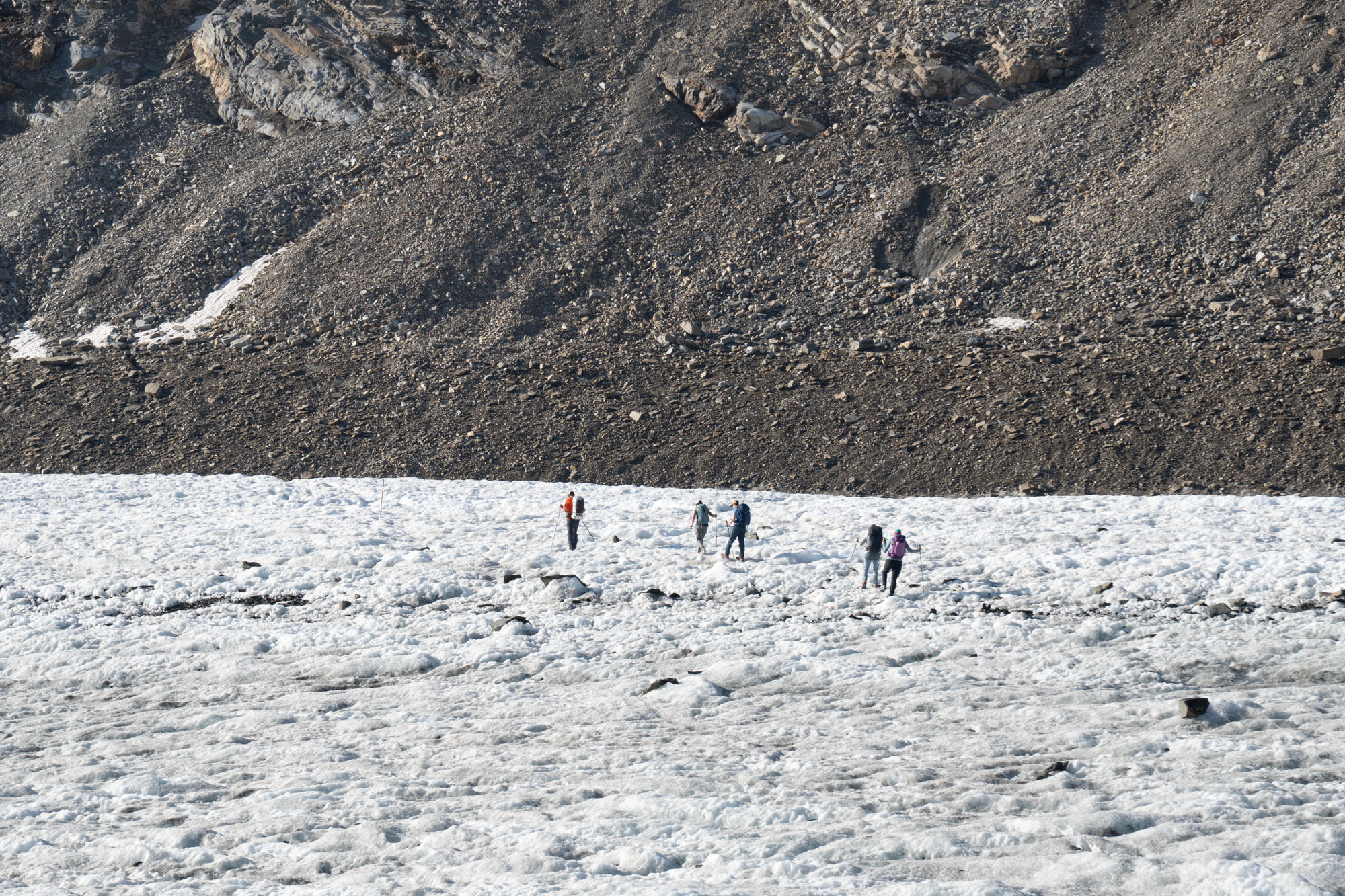
Soon we were across and scrambling up loose blocks to gain the scree above the glacier. Then a short climb to gain the trail that would drop us down to the Stausee Mattmark reservoir.
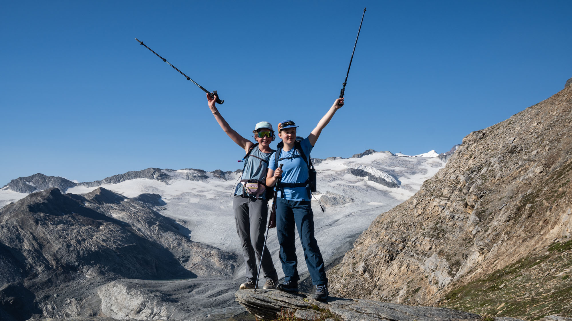
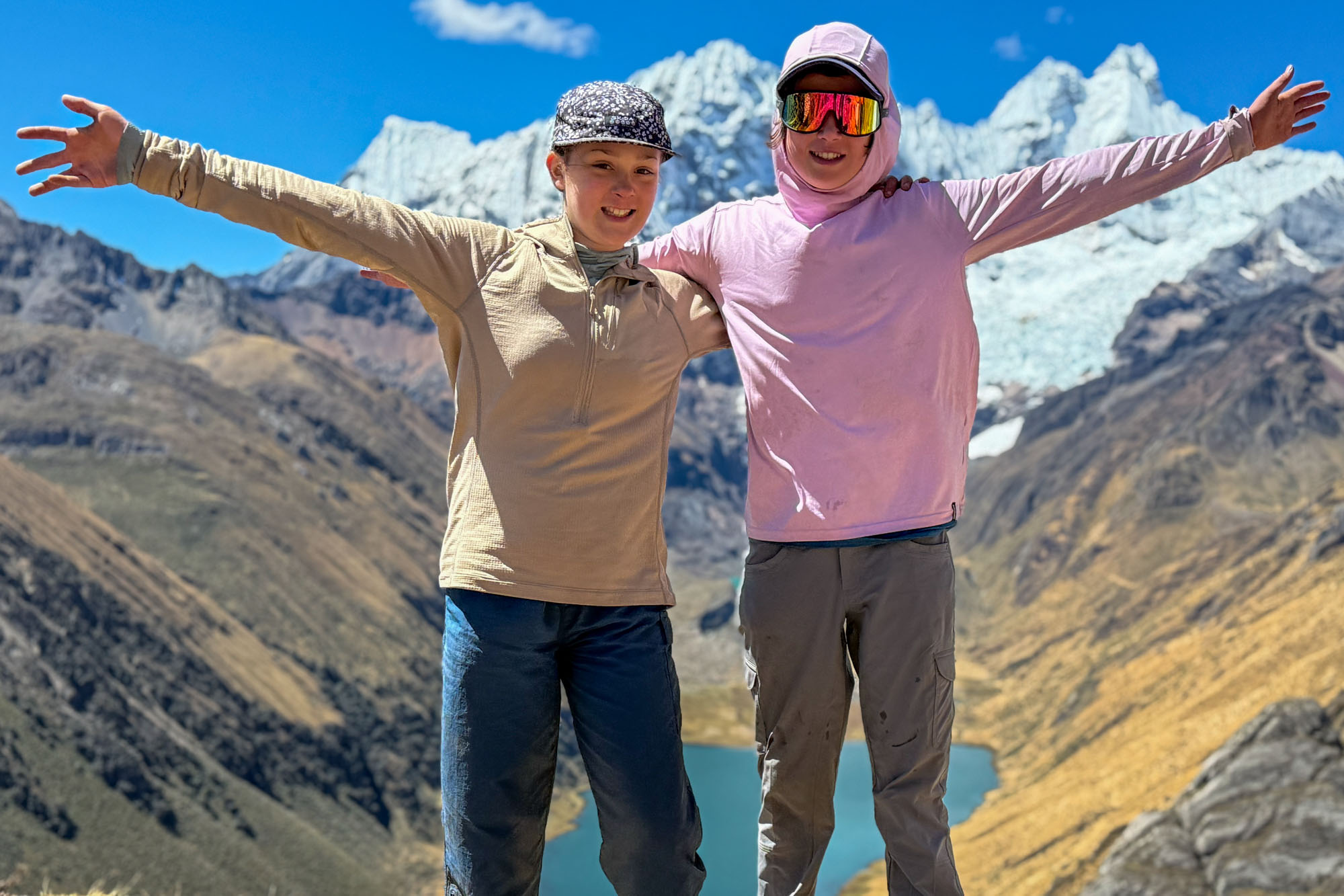
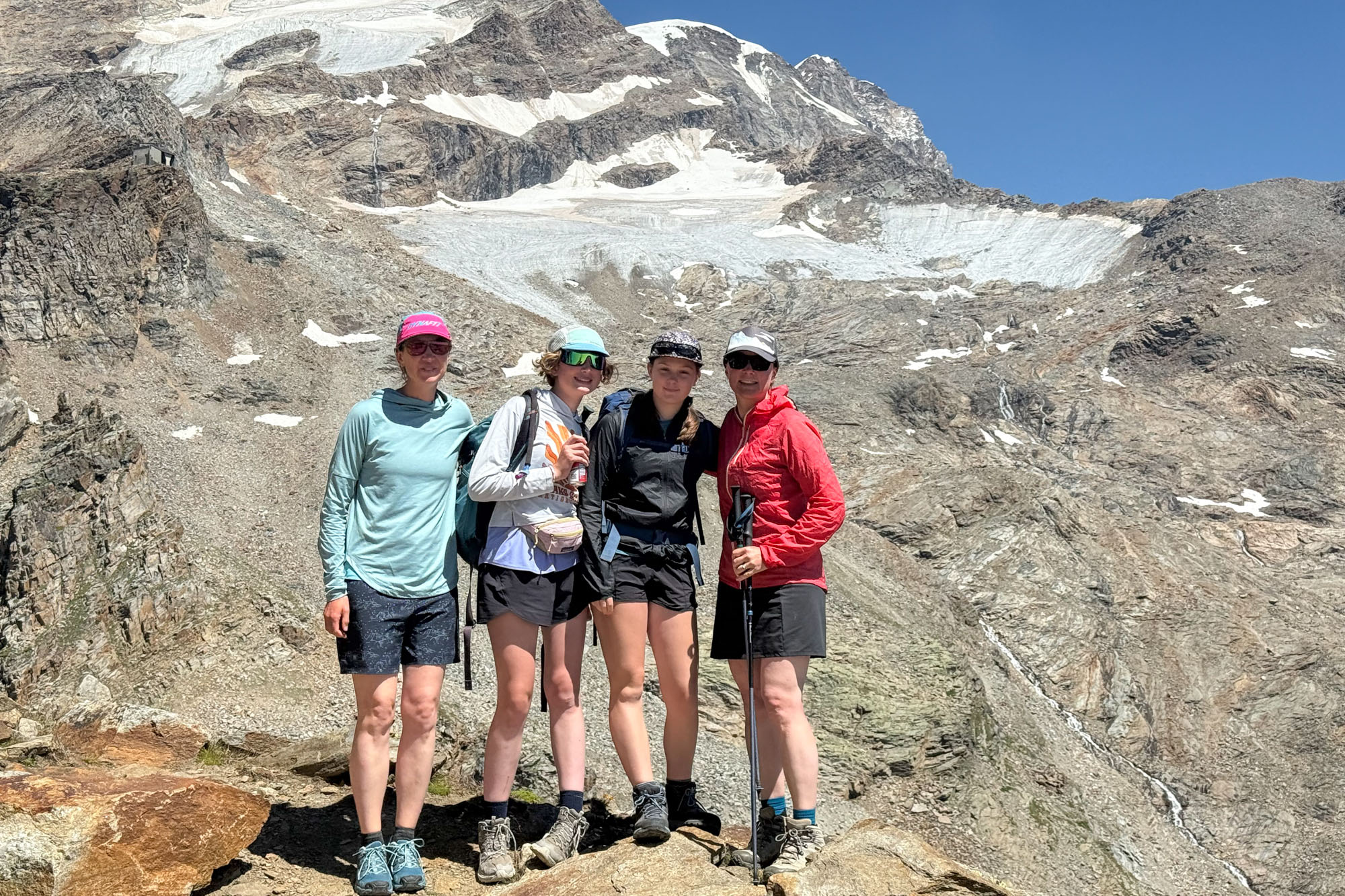
Celebrating after crossing the glaciers! (Compare this pic to one a year before.)
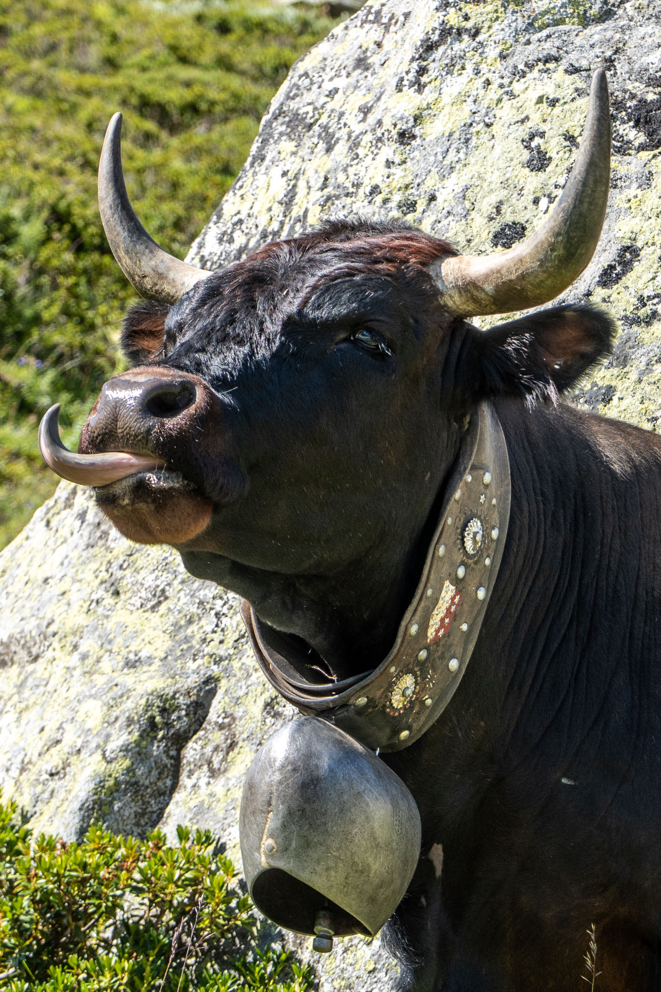
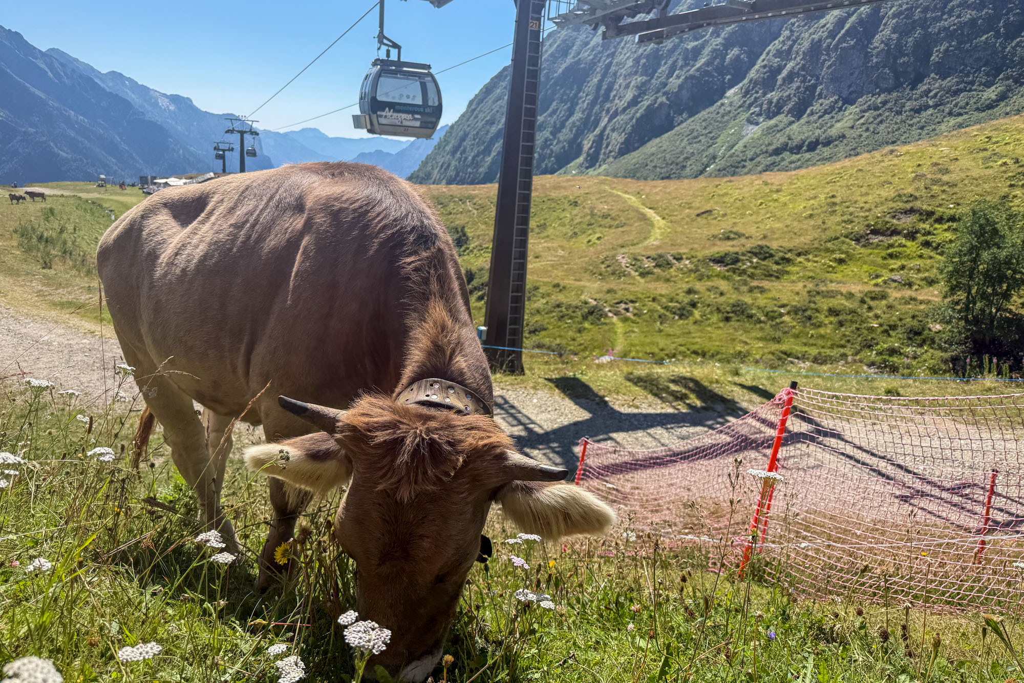
The descent to the reservoir was 2,500 ft down a series of switchbacks above lush alpine meadows where Swiss cows and their decorative bells grazed under the watchful eyes of a caretaker and dog. Down to a dusty road by the reservoir where we took a lunch break before once again getting on a single track trail and ascending. The ascent was hot and slow – but the kids popped in an ear bud each, jammed out to Katy Perry and practically skipped to the top.
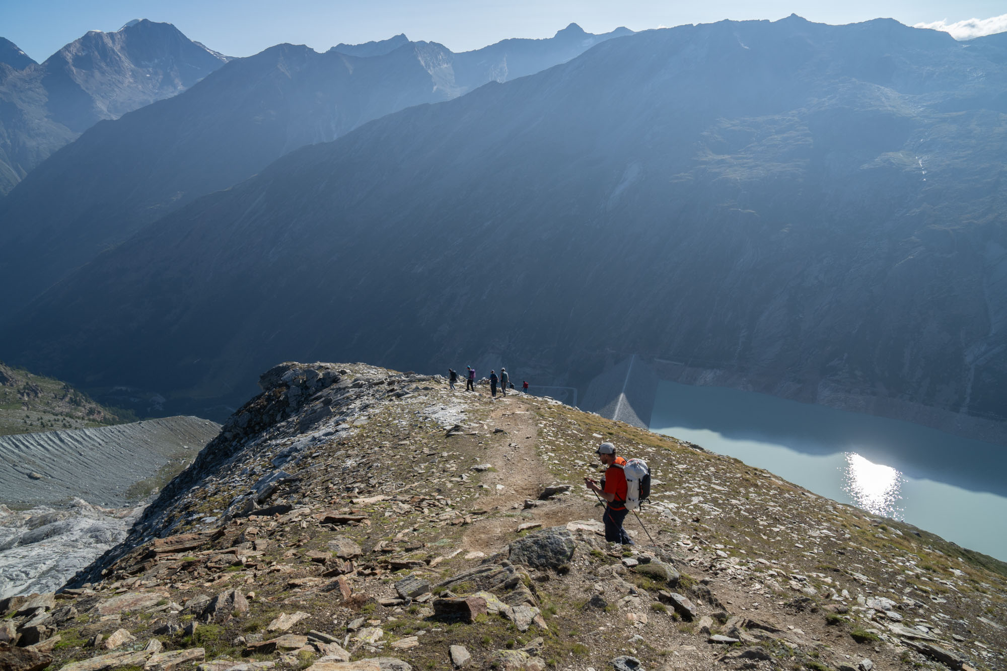
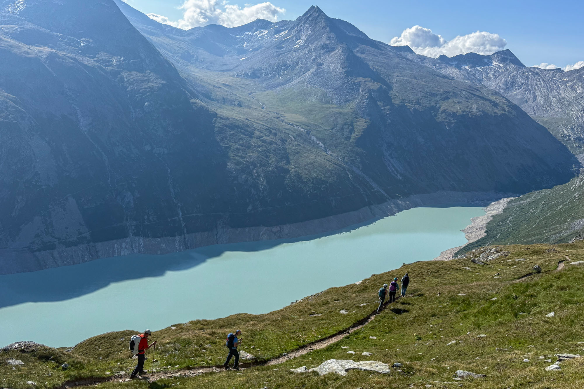
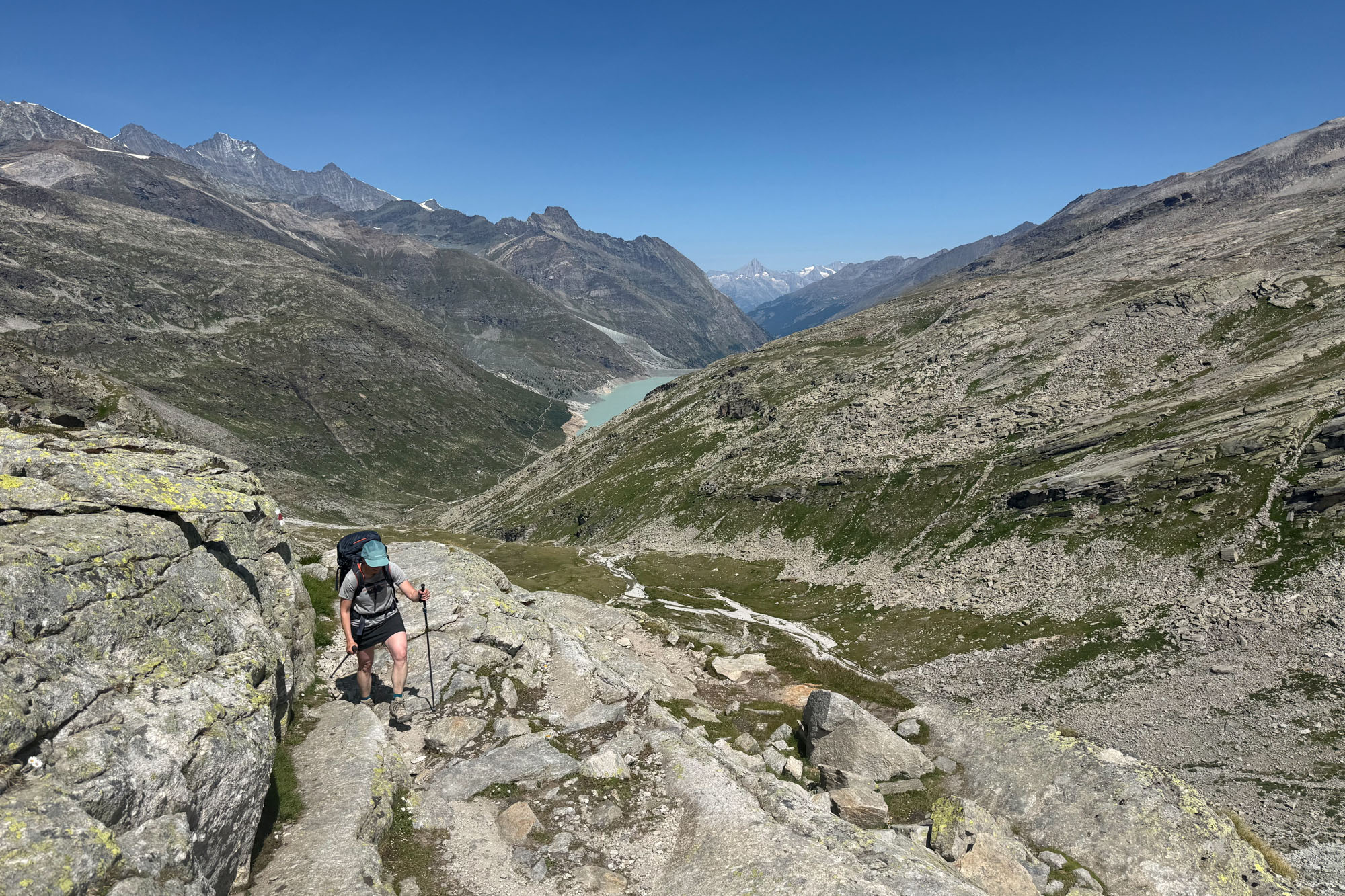
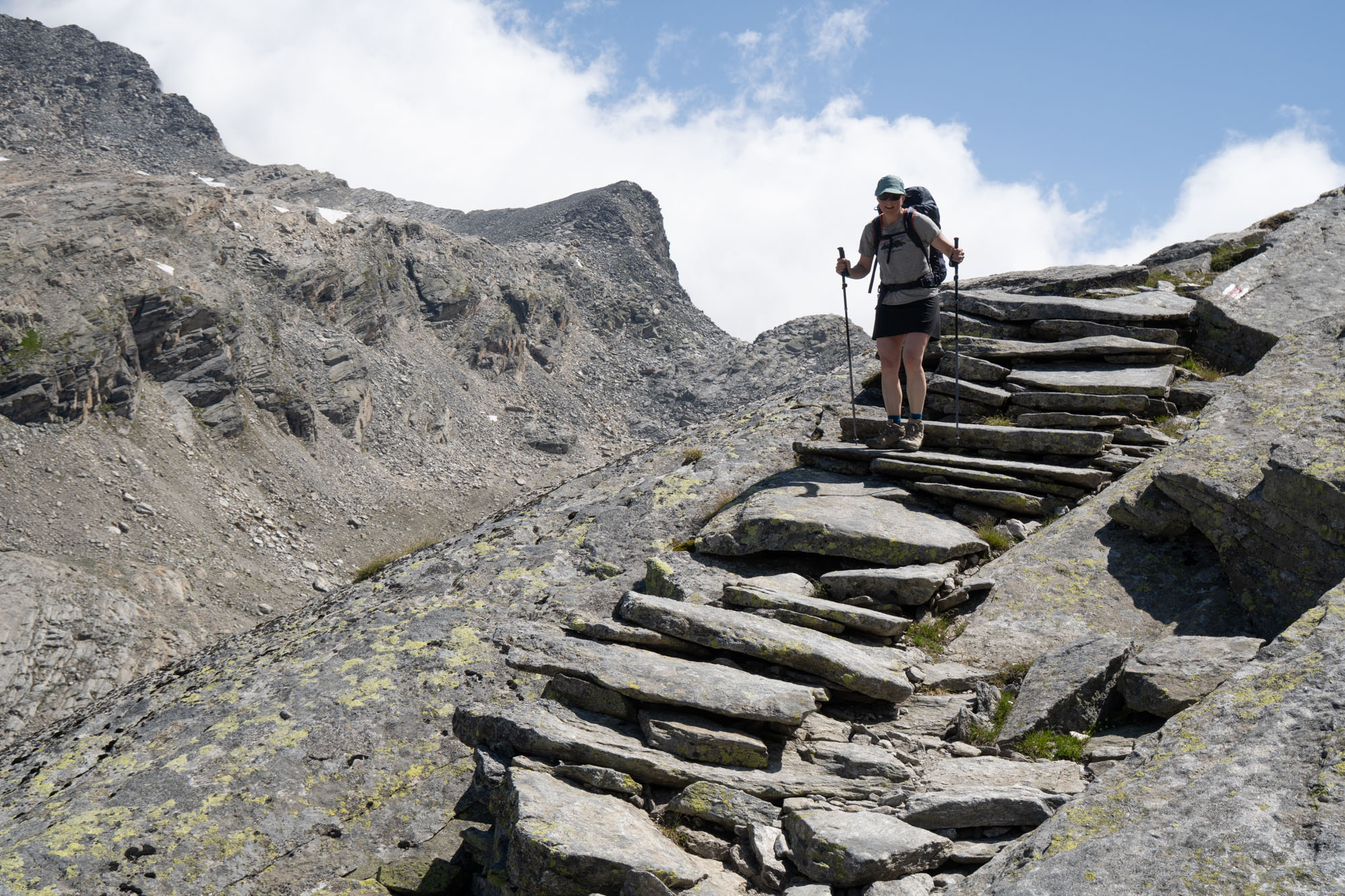
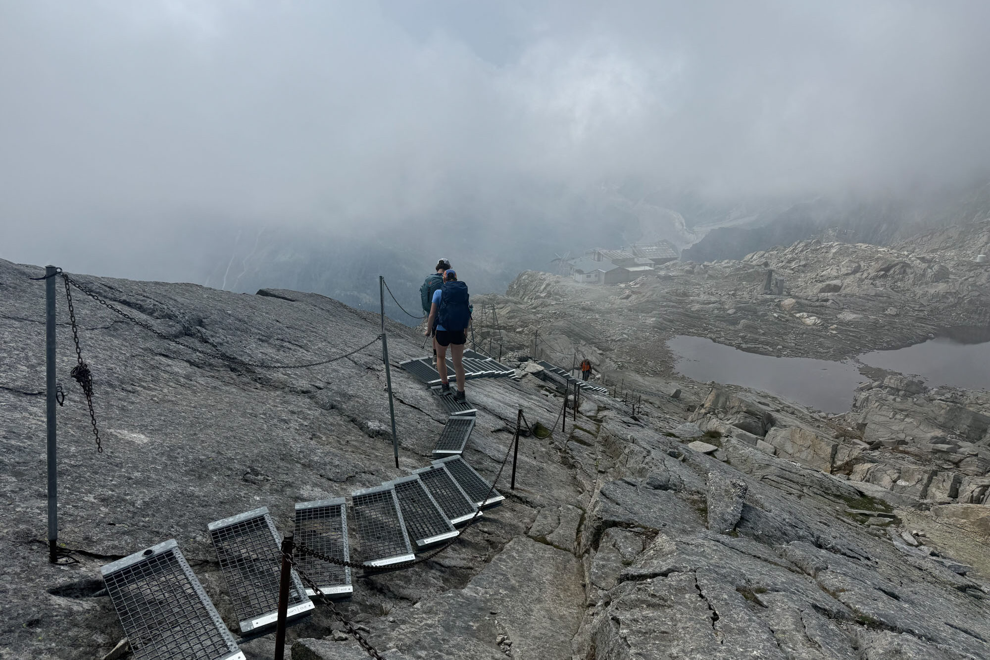
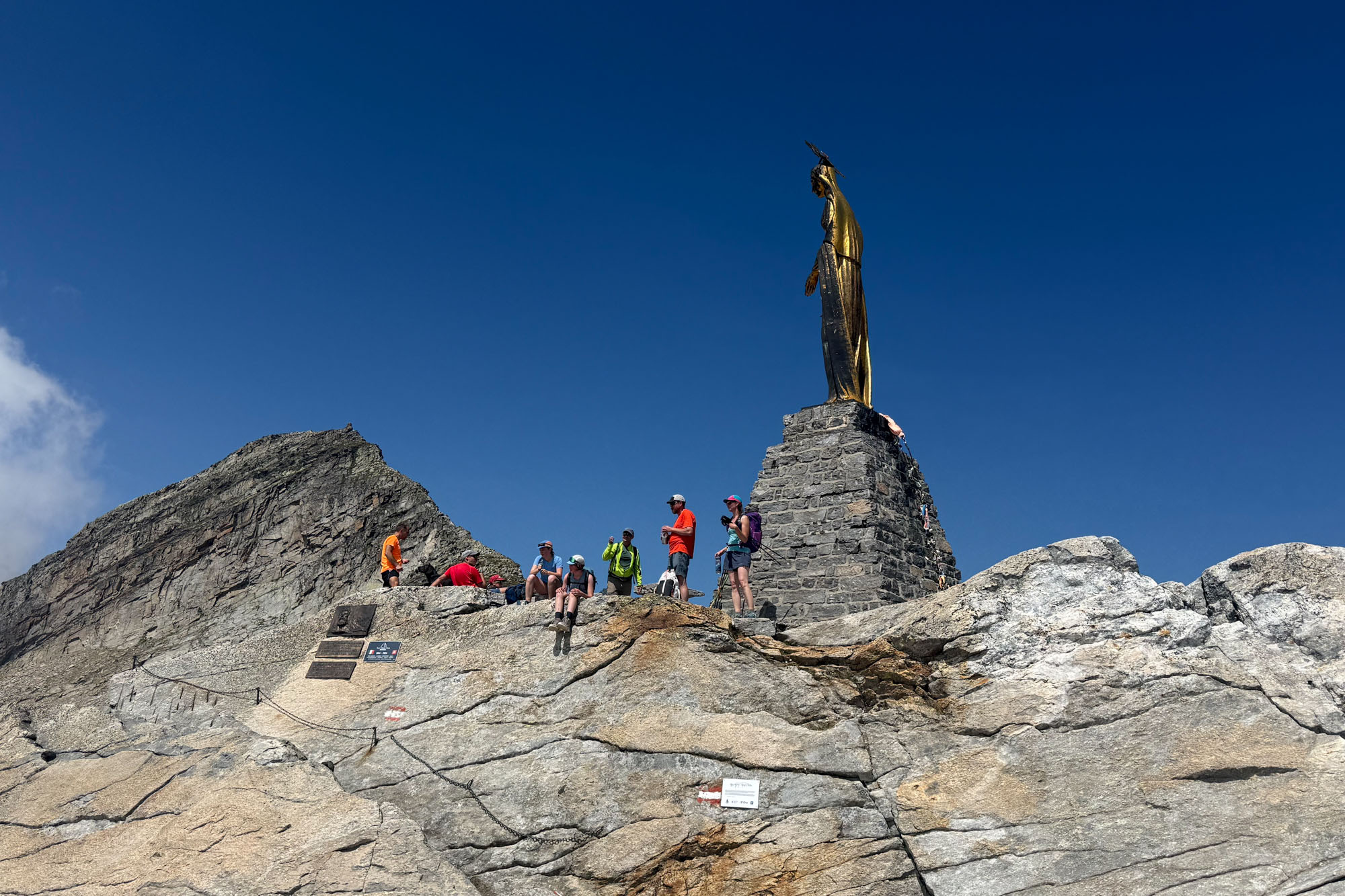
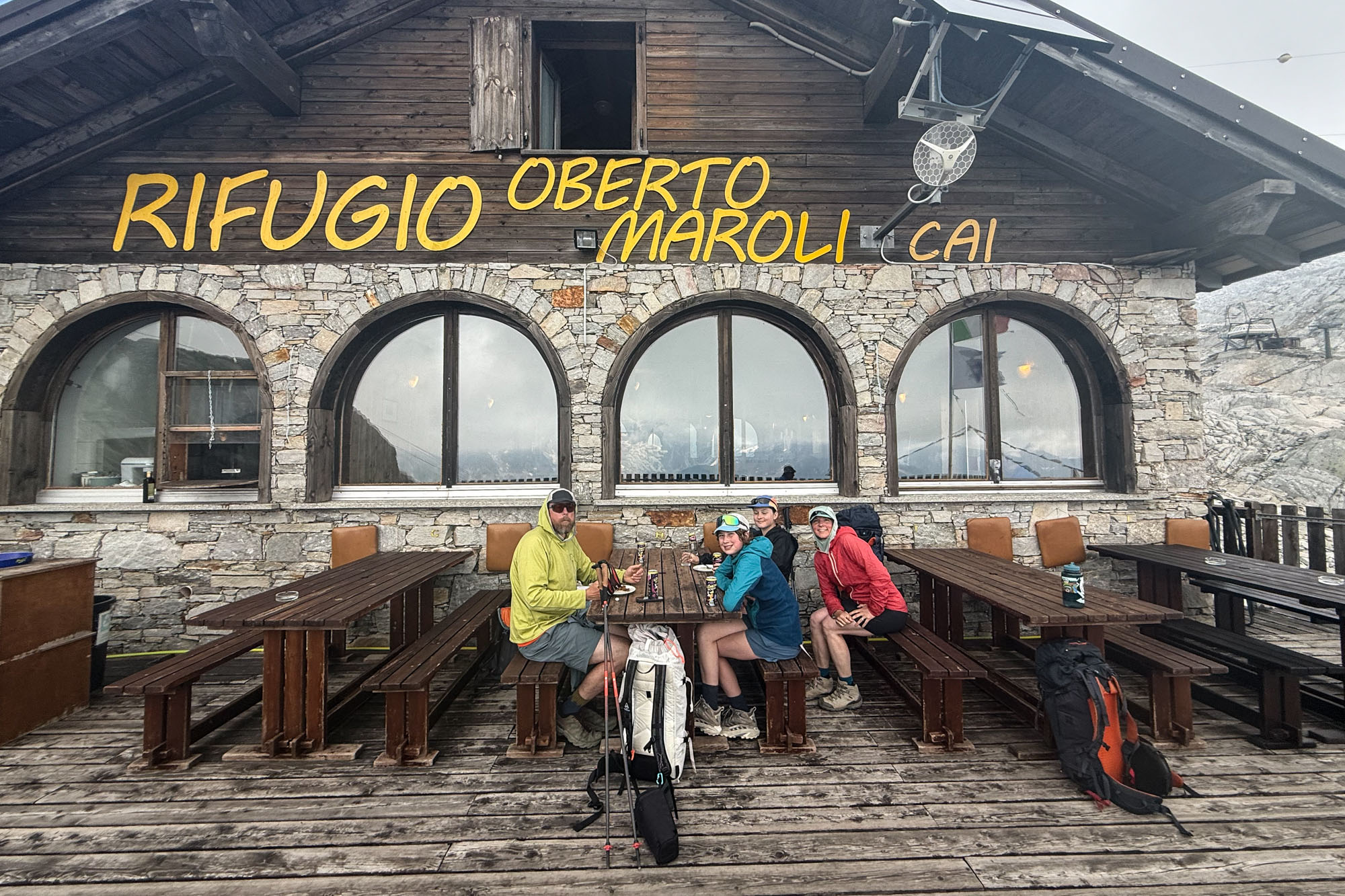
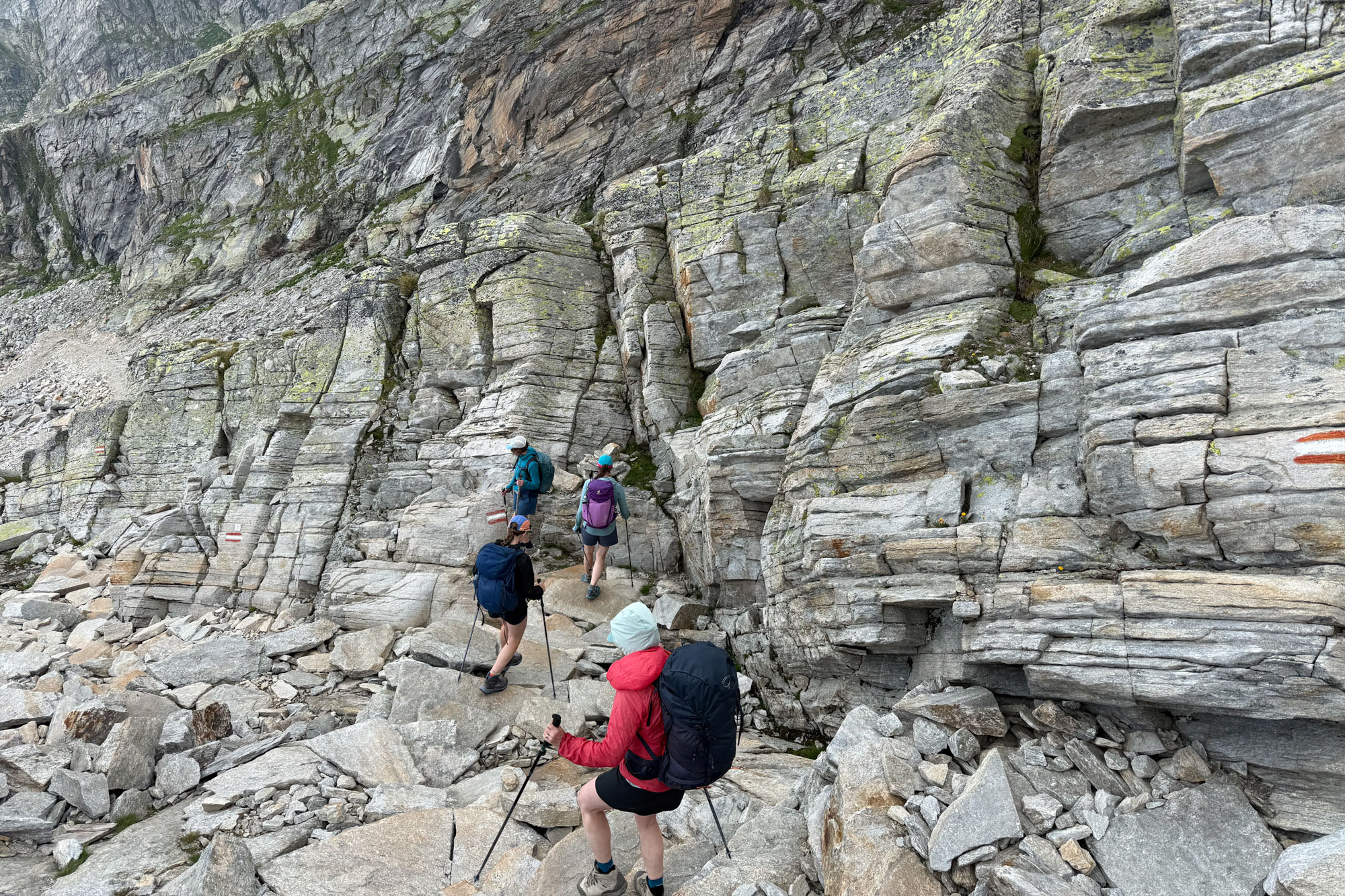
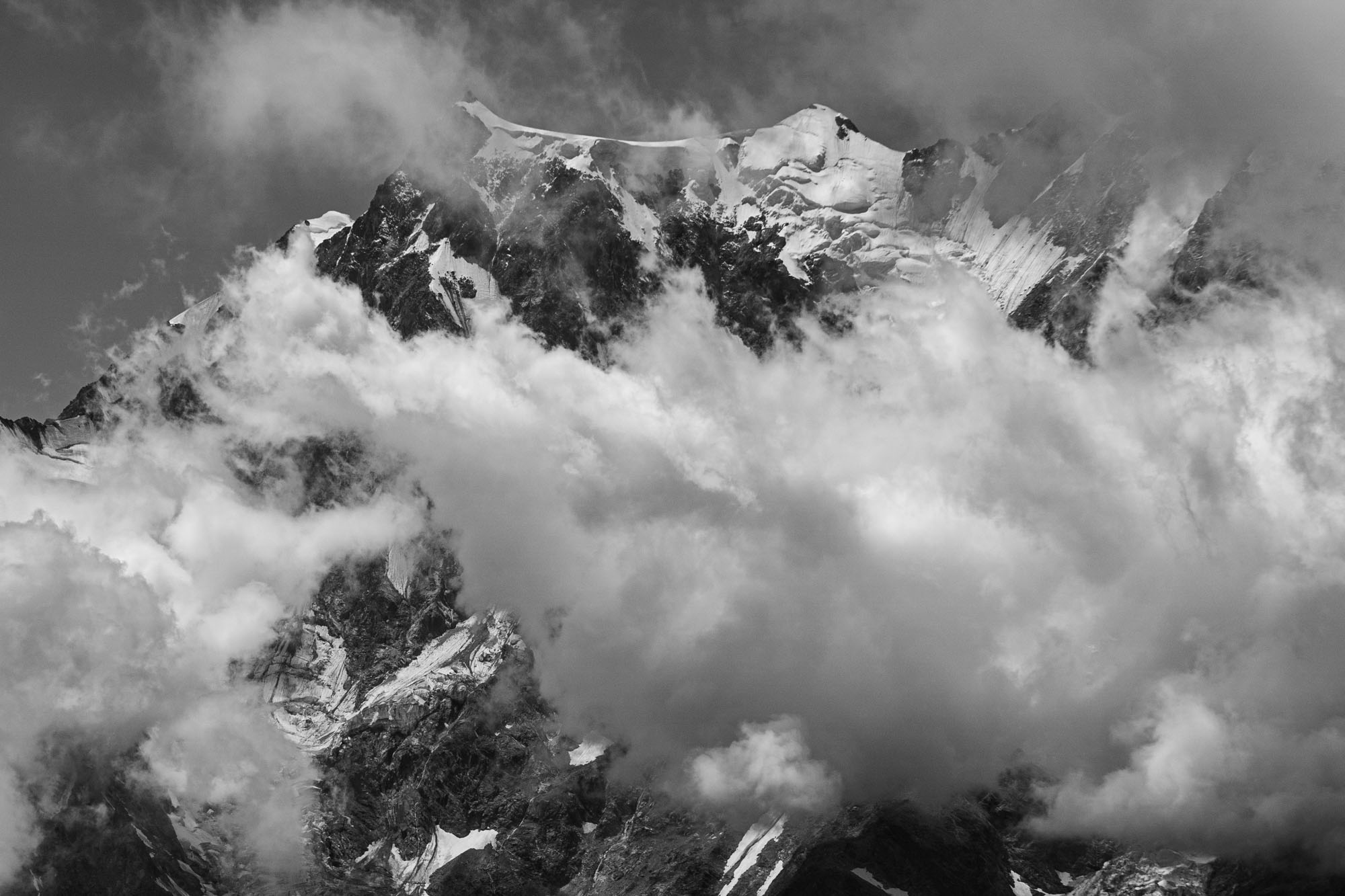
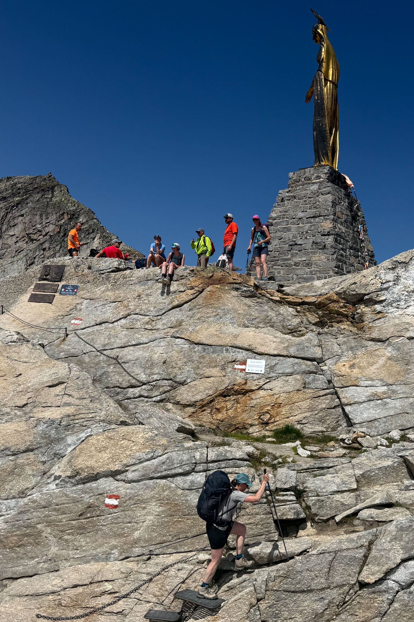
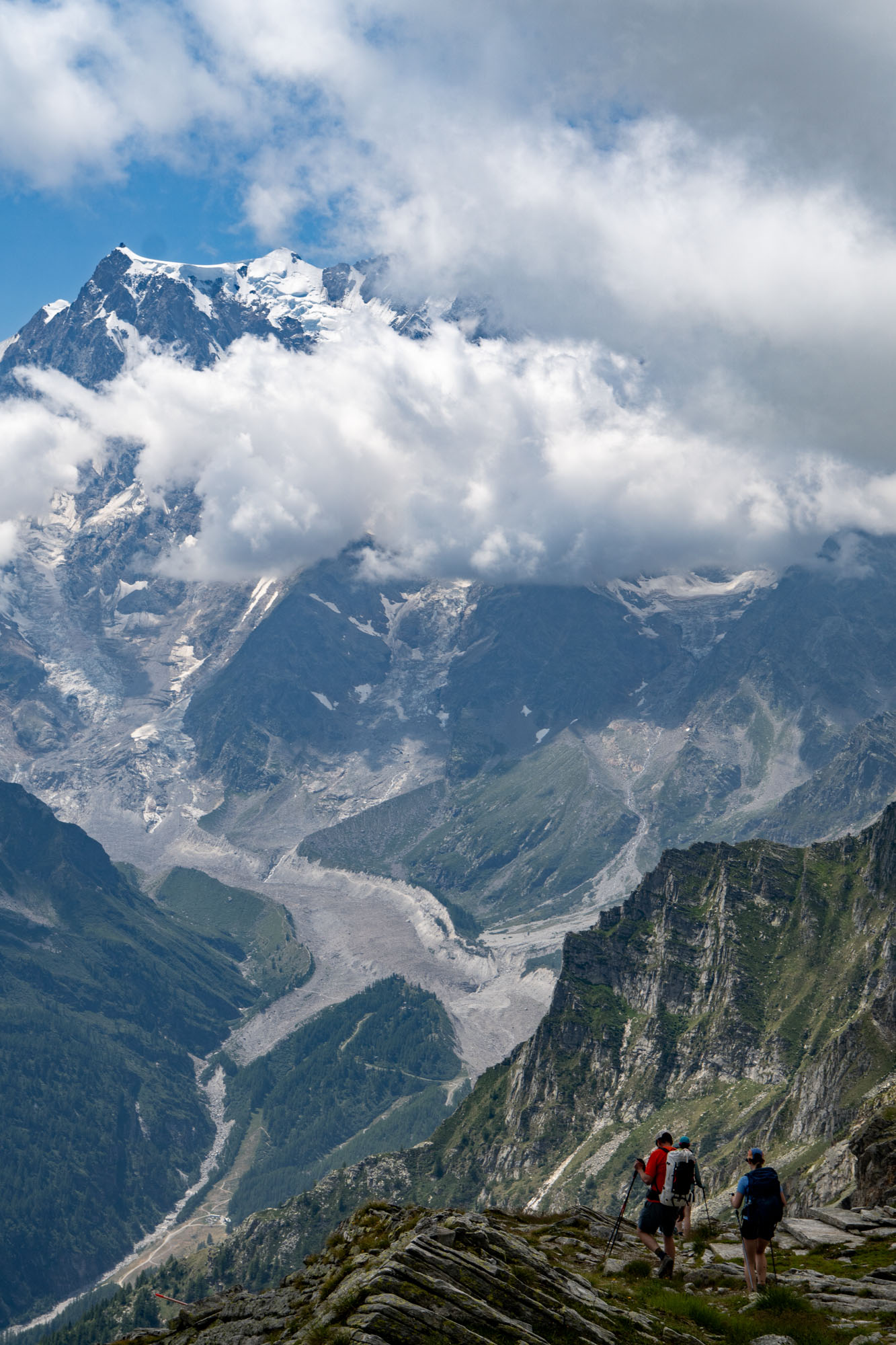
The descent to Macugnaga was long and tedious. Given that most trekkers have taken the tram up or down for the past 20 years the trail wasn’t as great as on the Switzerland side – and with every bit of elevation we dropped the temperature rose higher and higher until it was in the 80s and pushing 90s.
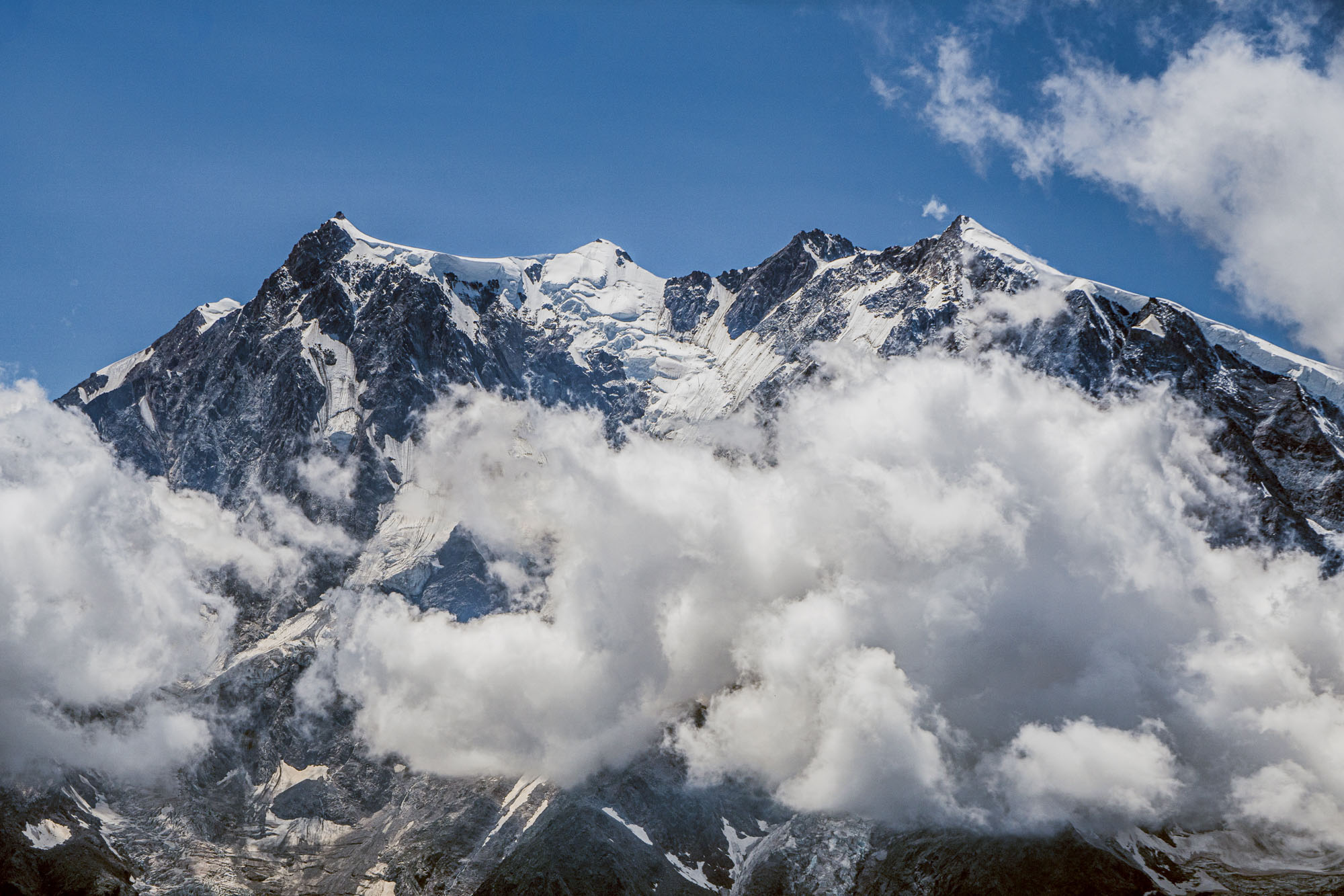
We knew the upper tram was broken, but the lower tram was running until 5 and we were pushing that hour, so we didn’t tell the kids to hurry out of fear we’d miss the tram and spark a revolt. But we made it and taking the tram down the final steep drop in the hot sun was a godsend after walking downhill for 7,000 ft.
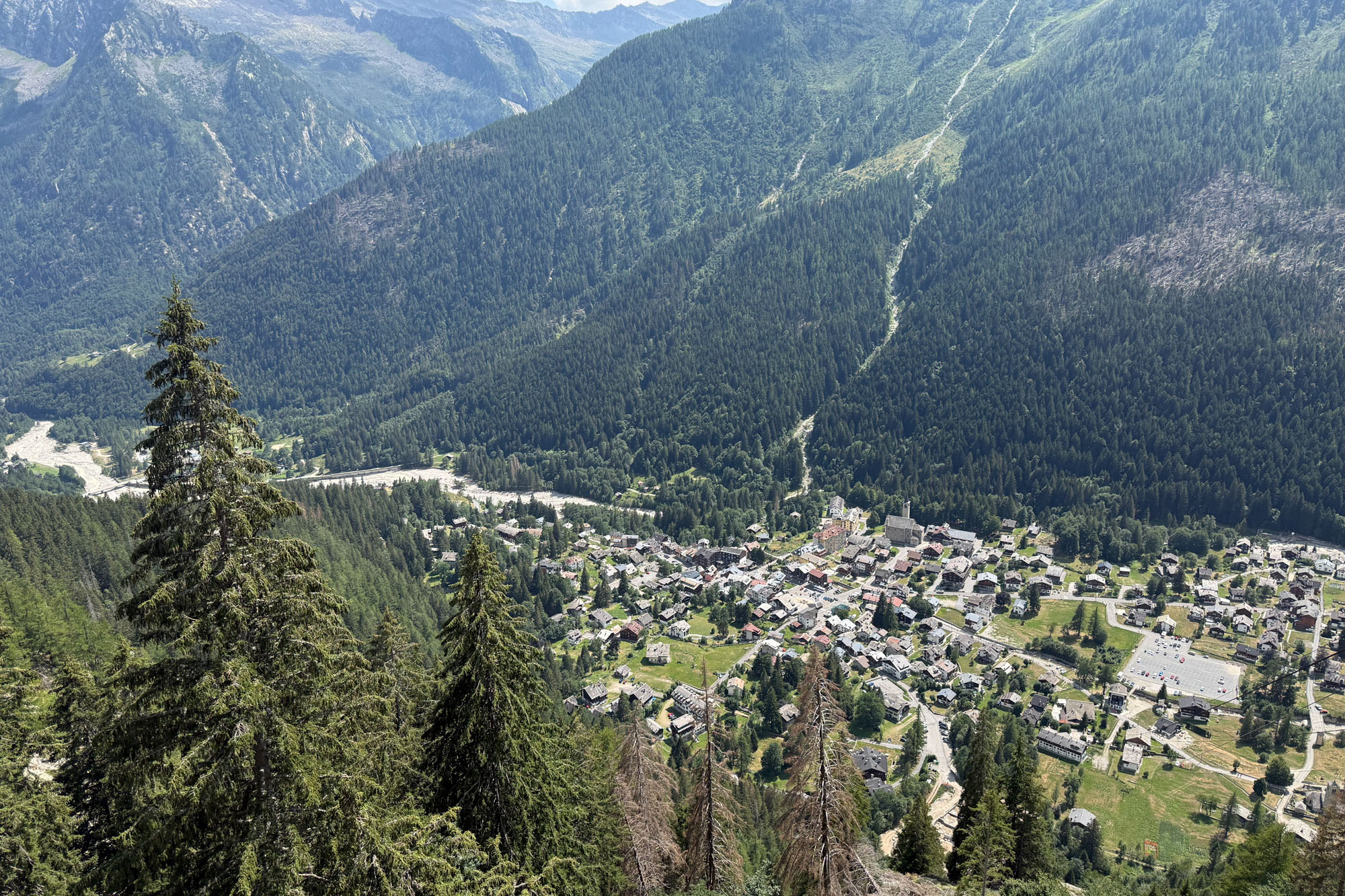
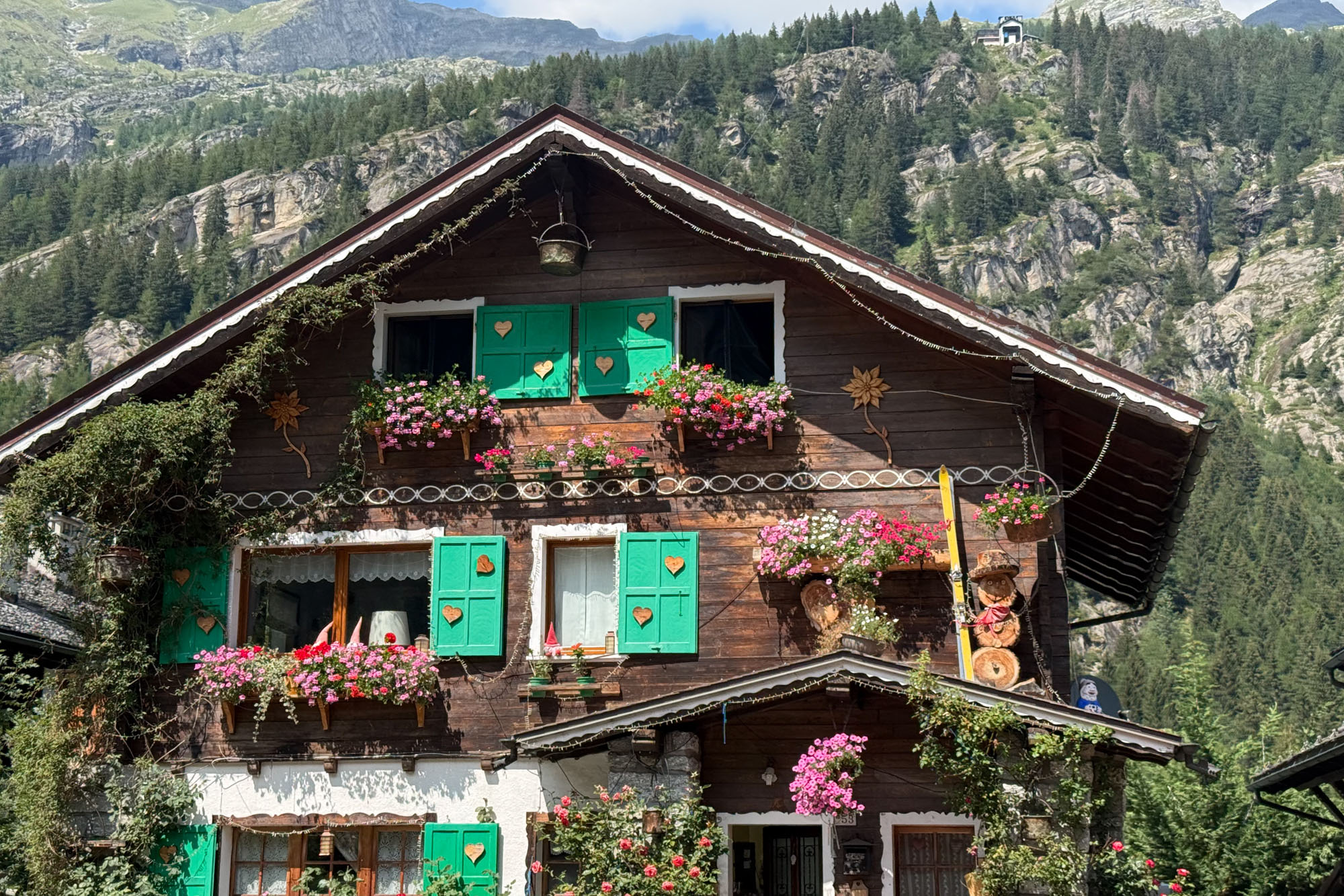
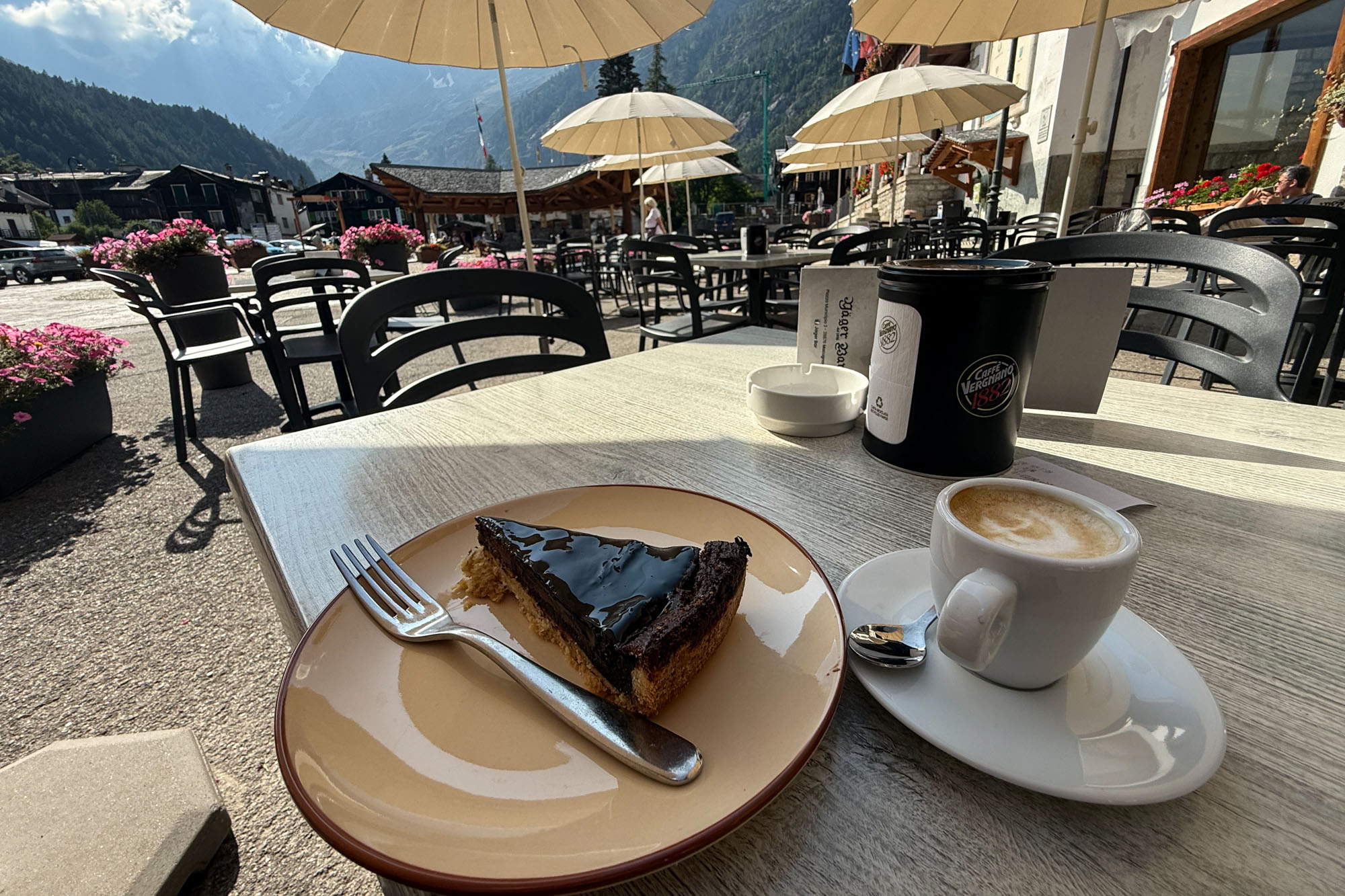
We checked into our hotel in Macugnaga and took a long shower and then I wandered downtown and had coffee, pie and beer (in that order) in a square that could have been right out of a Fellini set with Italians cowering in the shade and shouting for food and drink while waiting for the heat to drop before wandering off to dinner.
This was the highlight of the trip for me. The day was arduous and the glacier crossings made it exciting. Reaching a high col and dropping into Italy with amazing views made for a perfect day. That said – it was exhausting. Descending 7,000 ft is hard enough on your own – but managing children made it especially difficult. Plus the heat was especially hard on the children. If the tram isn’t fixed then I would advise travelers to consider staying at Rifugio Oberto (plus there’s another via ferrata near the hut!).
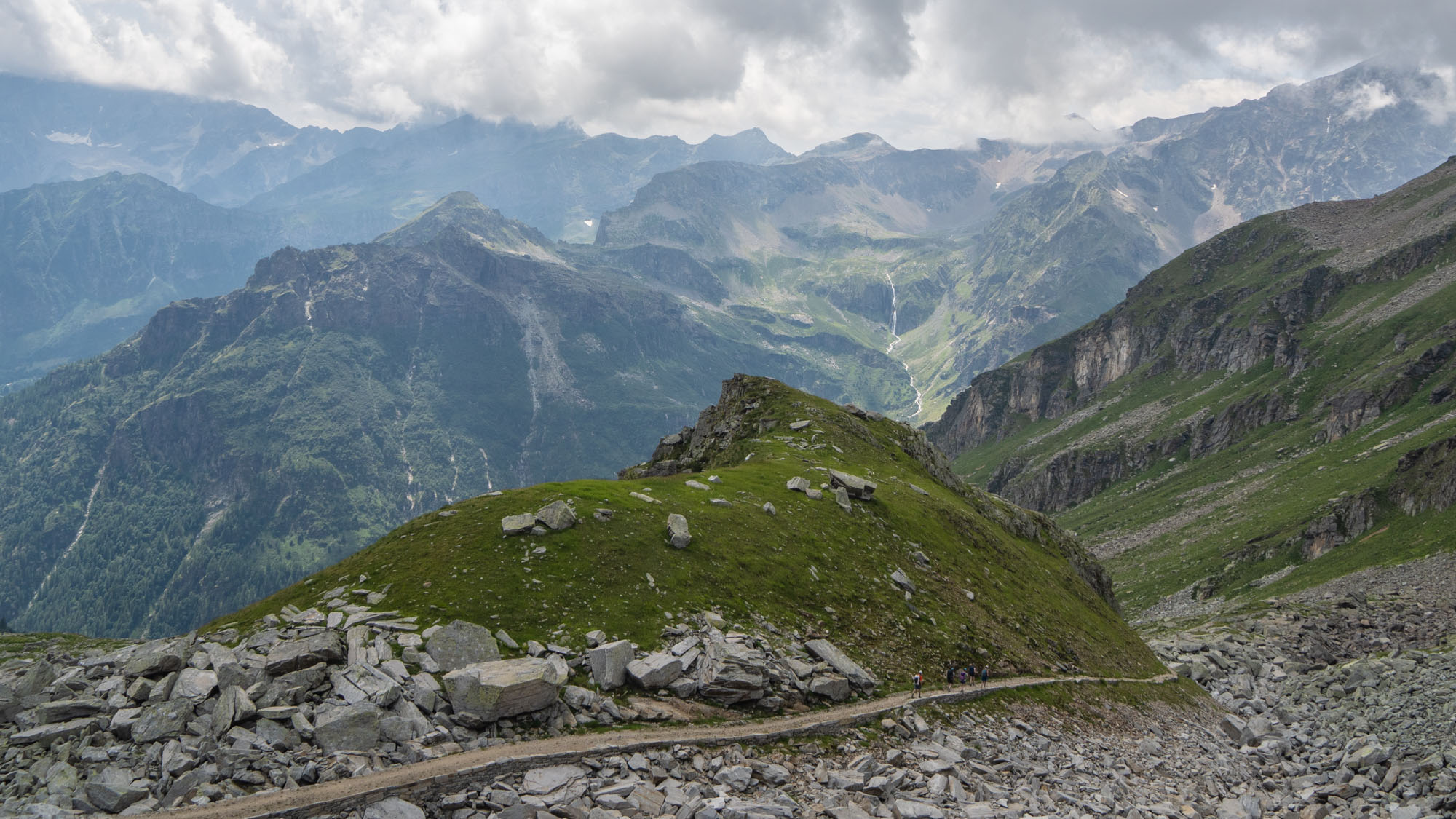
Descending from Colle di Turlo. This portion of the trail was originally built by Walser settlers in the 13th century.
Day 6: Colle di Turlo to Refugio Pastore
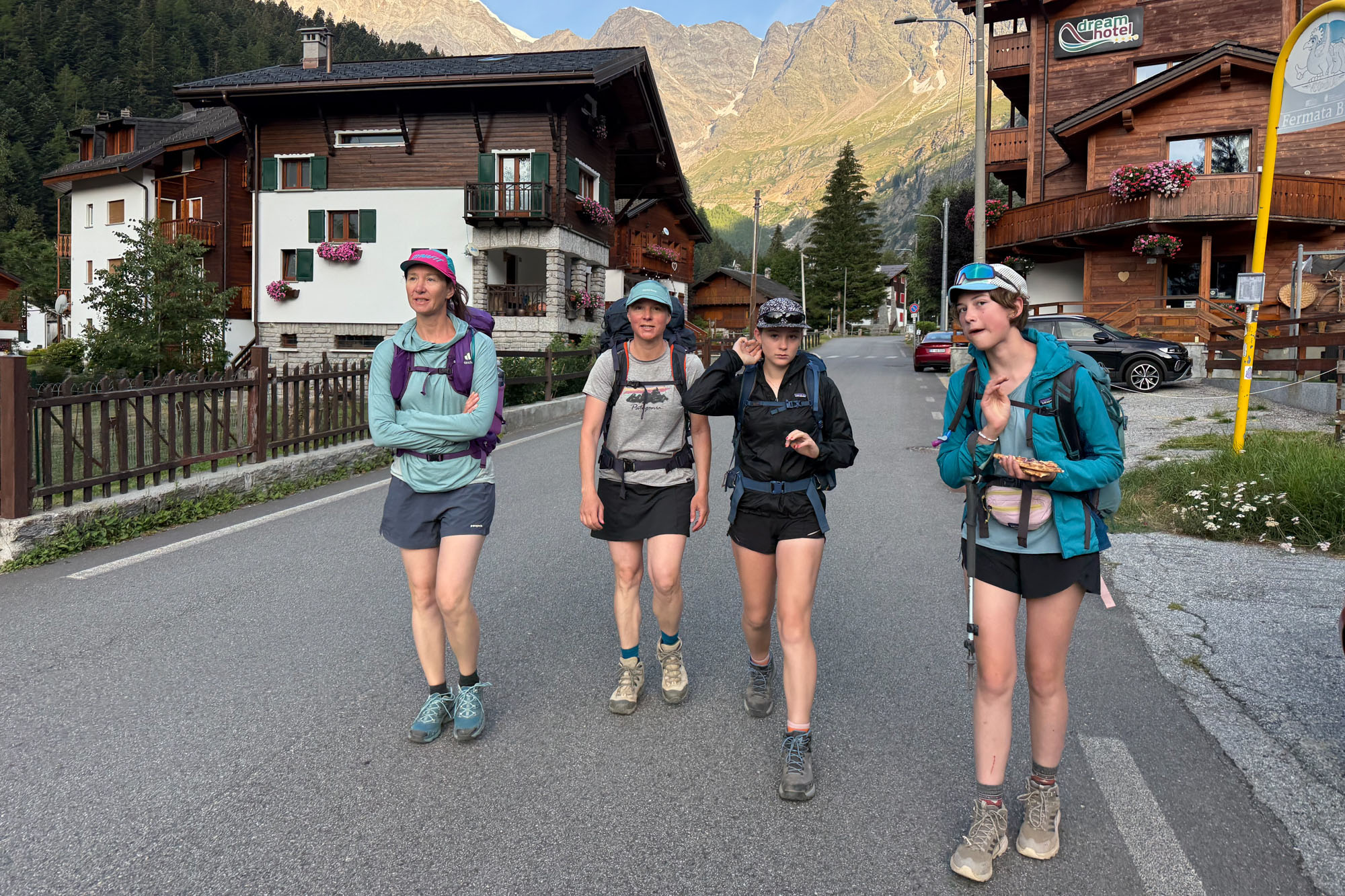
We were in the swing of things now. Up at 5:00 and hiking by 6:30. This would be another big day – 15 miles with a gain and loss of 5,000 ft – so we set off early. The initial part of the hike took us through town, past the “new” church (built in the 17th century – not be be confused with the “old” church that was built in the 12th century) and across the Anza river to a quiet trail that paralleled town. We followed this for about a mile before the trail turned south and began ascending a valley. We reached Ristorante Lanti just as the proprietor opened the doors at 7:30. The kids ate pie (I lost count of how many pieces of pie were consumed on this trip) and the adults inhaled a much needed cup of coffee.
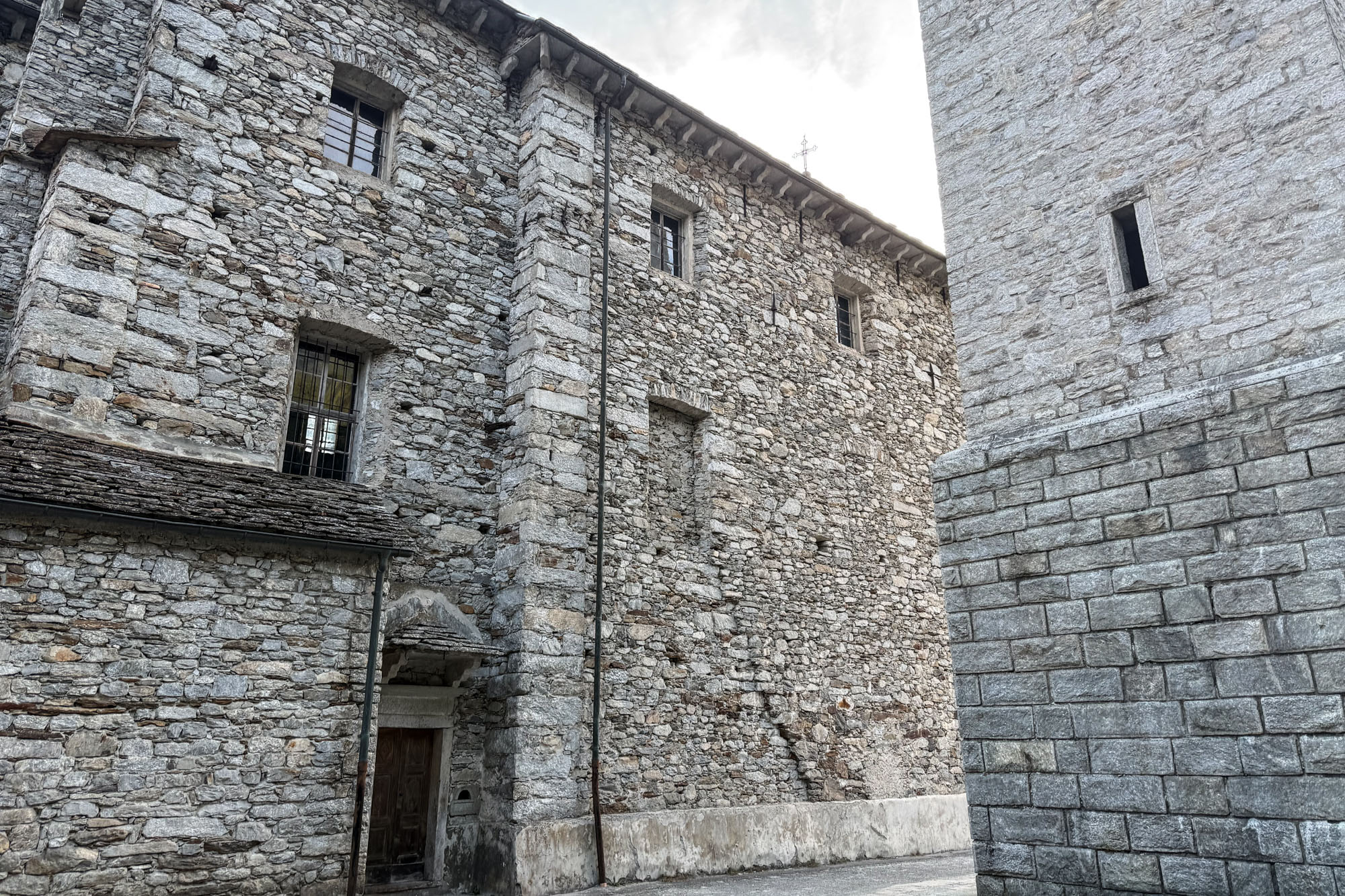
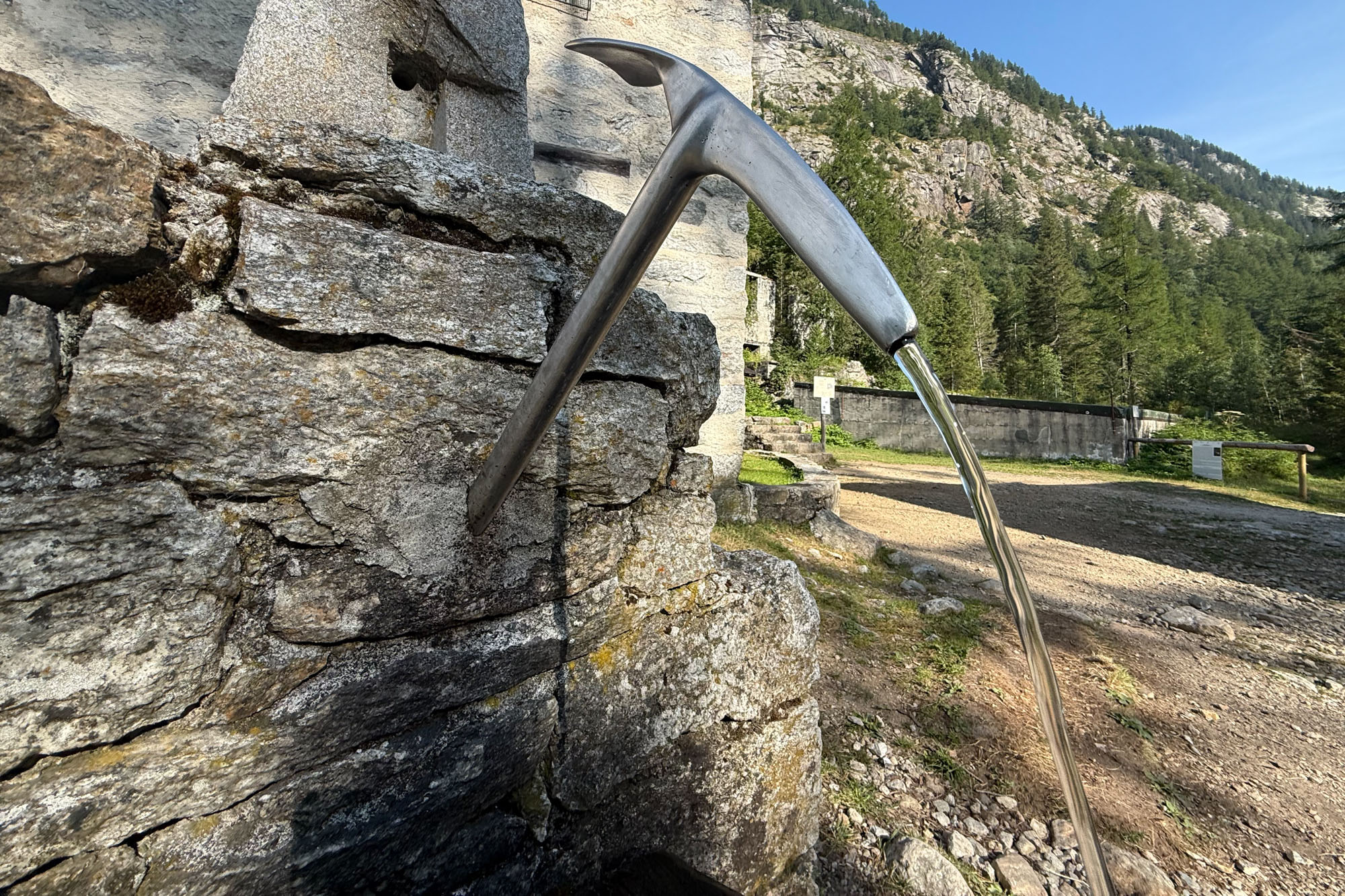
Setting off again the trail began to slowly steepen. The first couple of miles were through an old mining corridor but soon we hiked past all buildings and reached the start of an old stone road that would take us to the pass. This was the start of the Turlo Pass route – a historic route that was established by Walser settlers in the 13th century. The Walser migration represents one of the last great movements of peoples in the Middle Ages. Between 1150-1450 settlers migrated out of the Swiss alps in all directions and settled towns throughout France, Italy, Switzerland, Liechtenstein, Austria, and Germany. The route over Turlo pass was one of their established routes and it was heavily used for centuries for trade and migration.
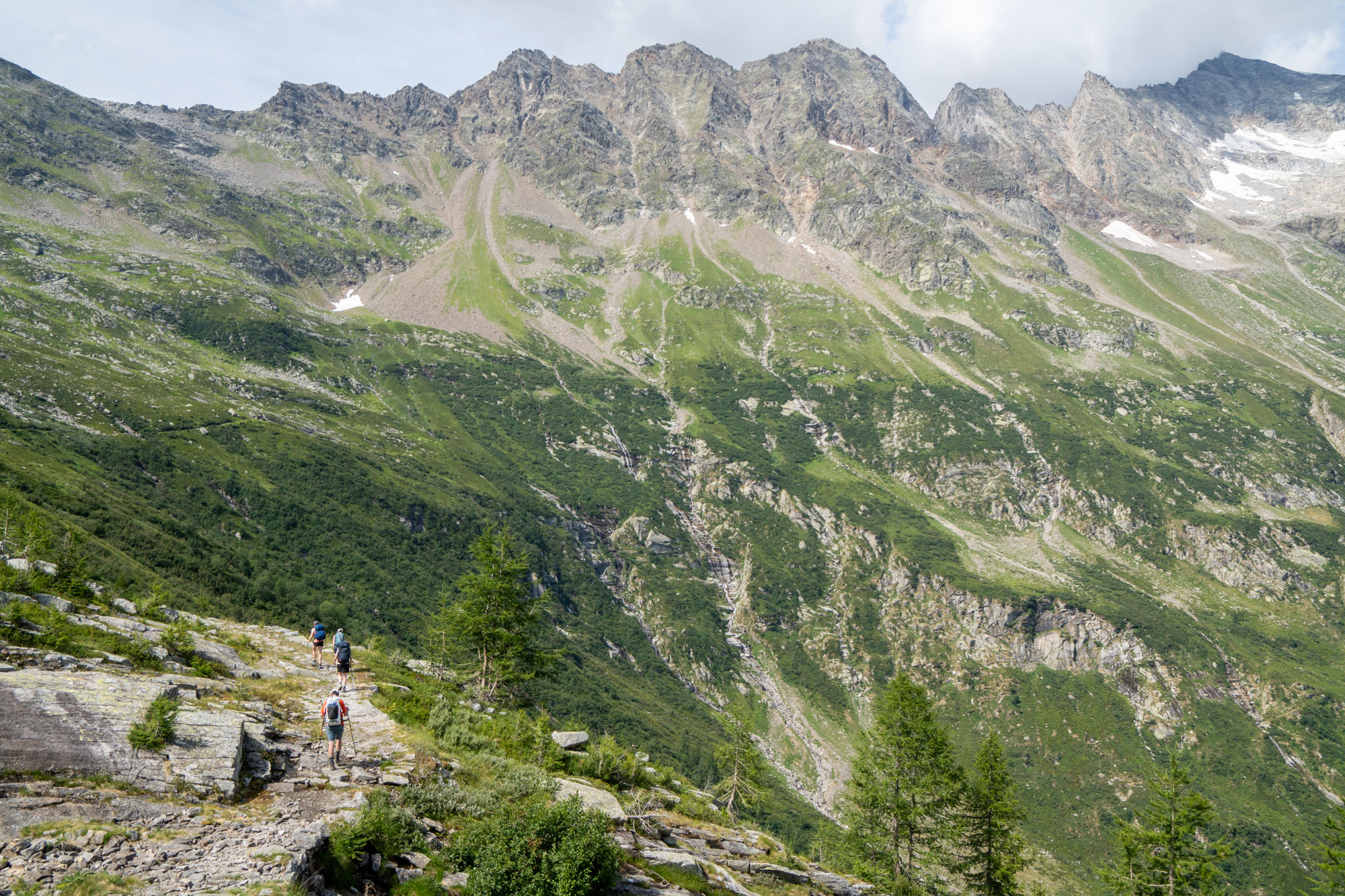
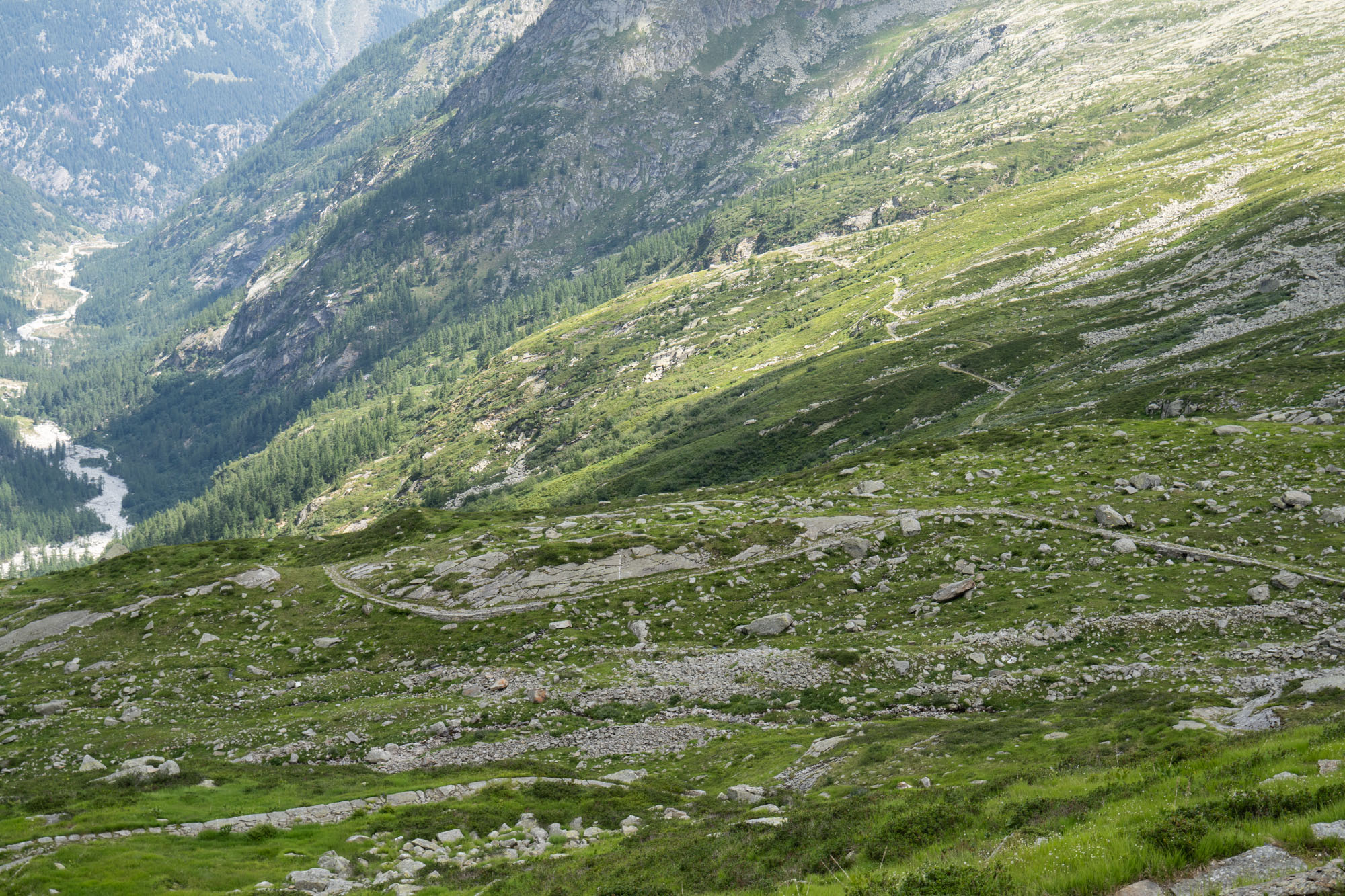
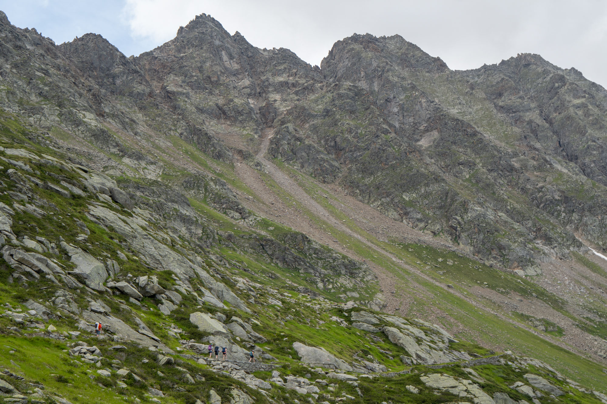
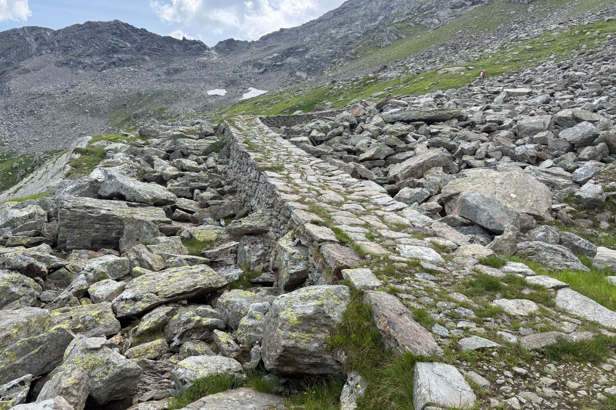
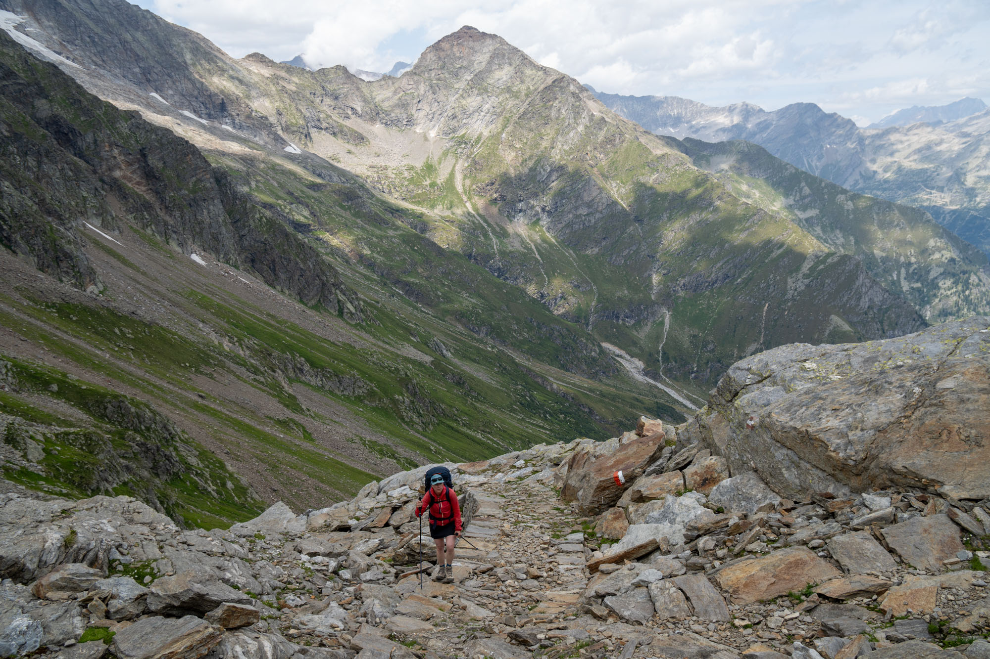
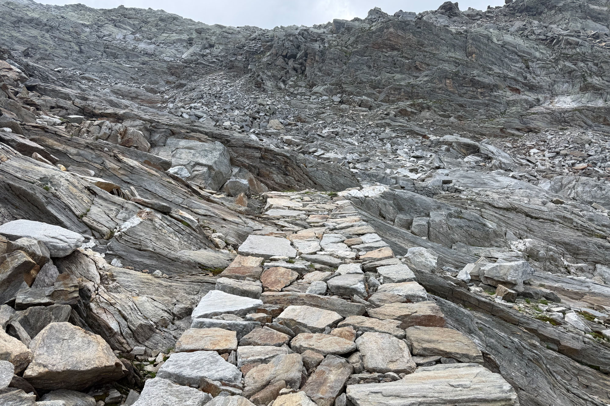
In the 1920s Mussolini commanded the building of strategic military roads, tunnels, tank barriers, and thousands of bunkers across the northern border to hold off the threat of a German invasion. As part of this initiative Turlo Pass road was re-engineered to allow artillery to be transported. Ironically Mussolini signed a pact with Hitler and the route was never used by the military against Germany. Instead it became a corridor for partisans, POWs, and Jews fleeing Nazi persecution. These refugees traveled up and over Turlo Pass and then up and over Monte Moro to reach Switzerland where they were granted asylum.
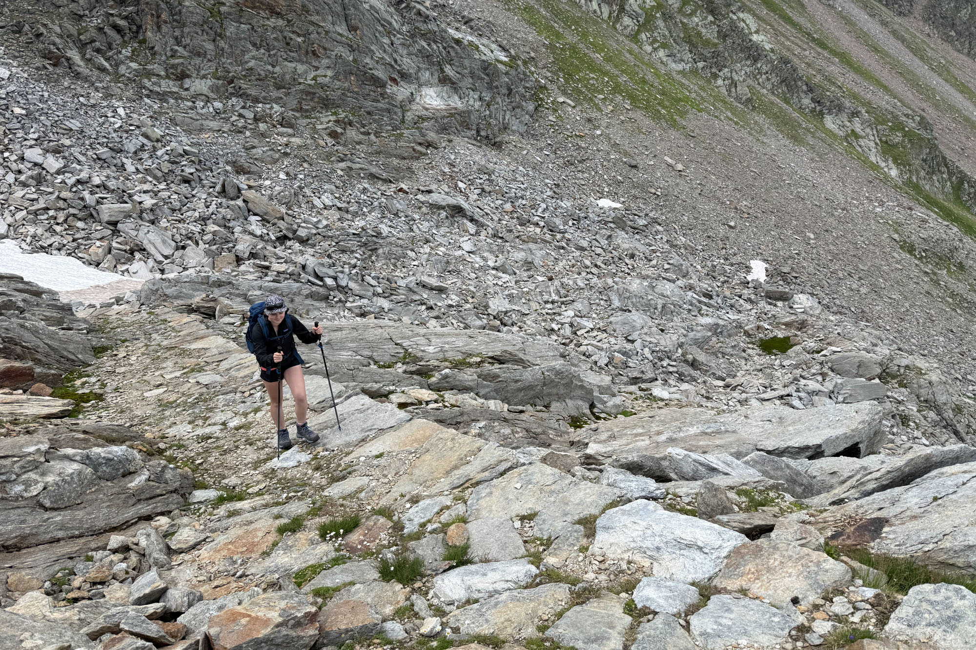
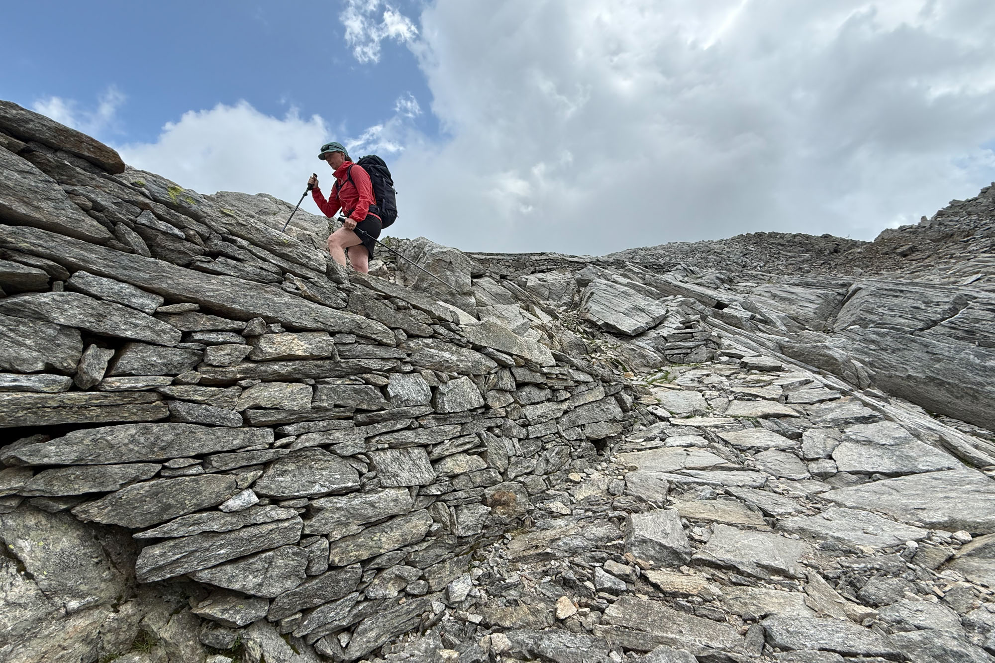
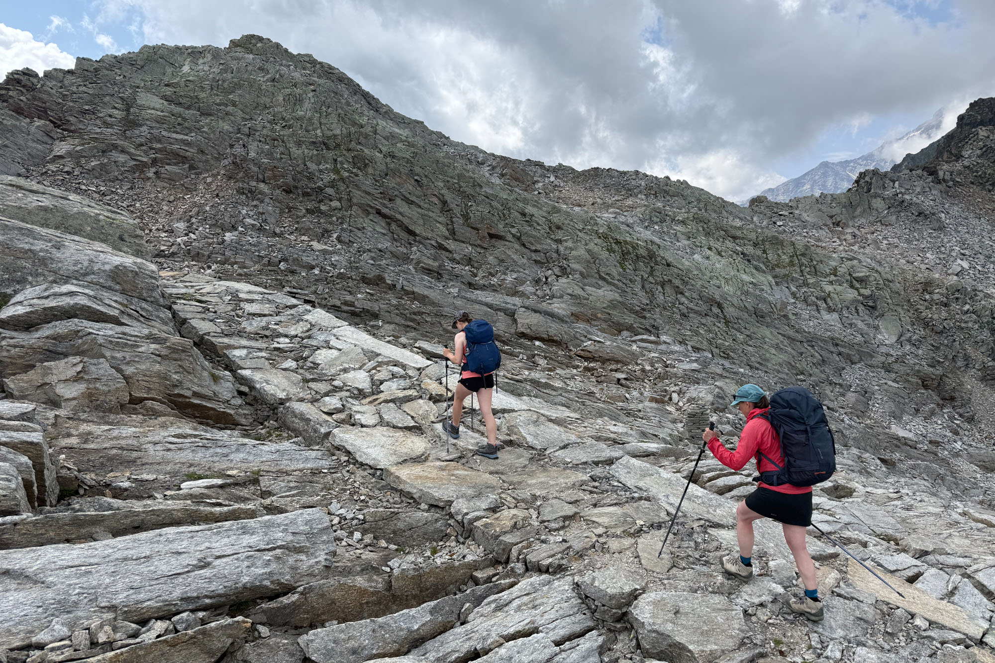
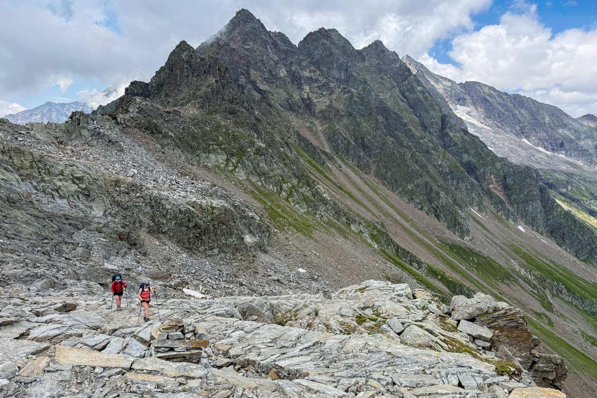
The walking was amazing. The quality of the road work was unparalleled to anything else we saw on this trip. I suppose if a mountain route is to remain viable for 750 years, it has to be properly constructed. Stone walls make up a foundation and road itself is made of perfectly fitted stones that make for smooth and easy walking. The switchbacks are gentle and easy on the feet – yet one still ascends 4,000 ft in 4 miles (click to look at this pass in Google Maps).
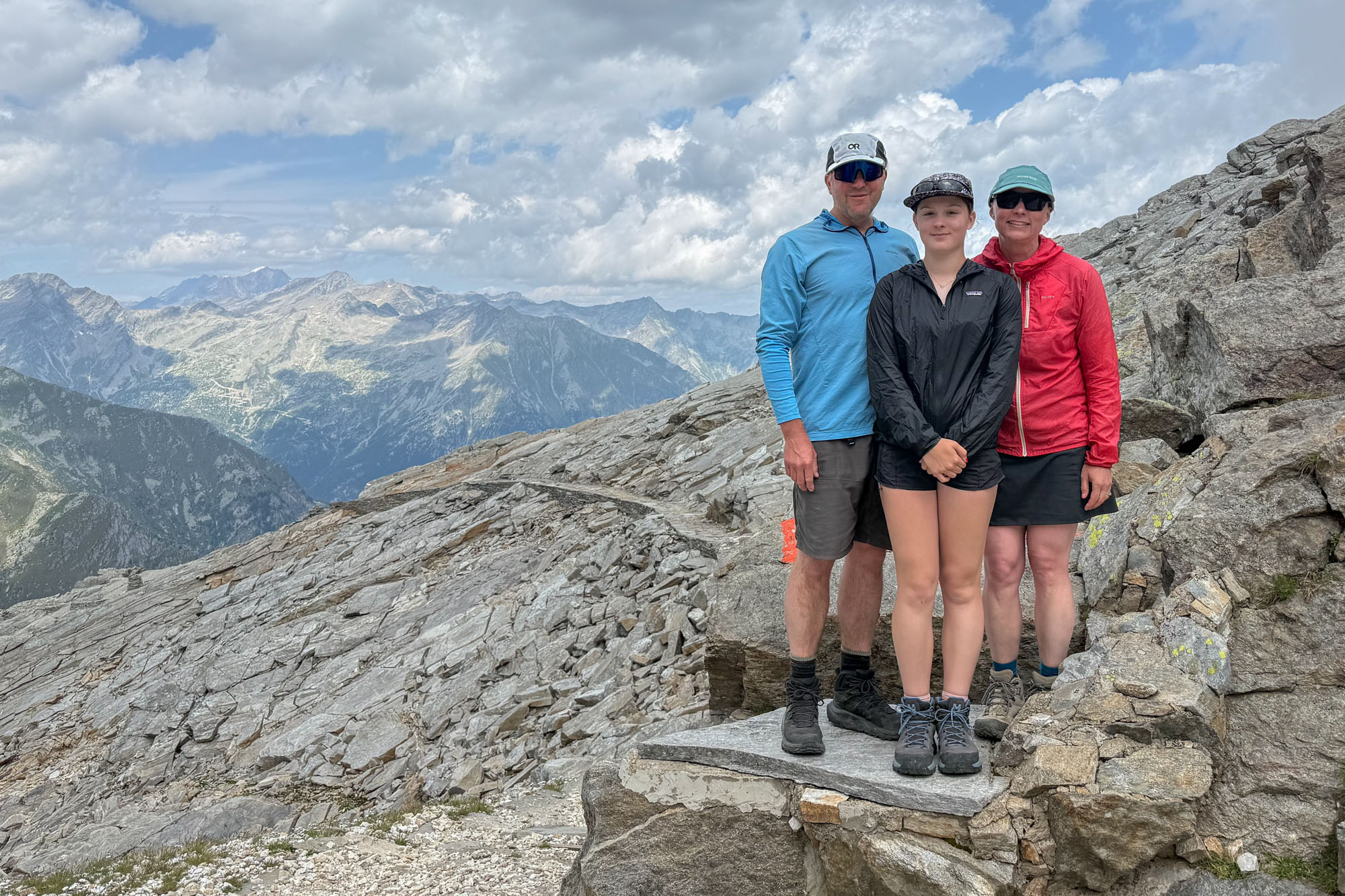
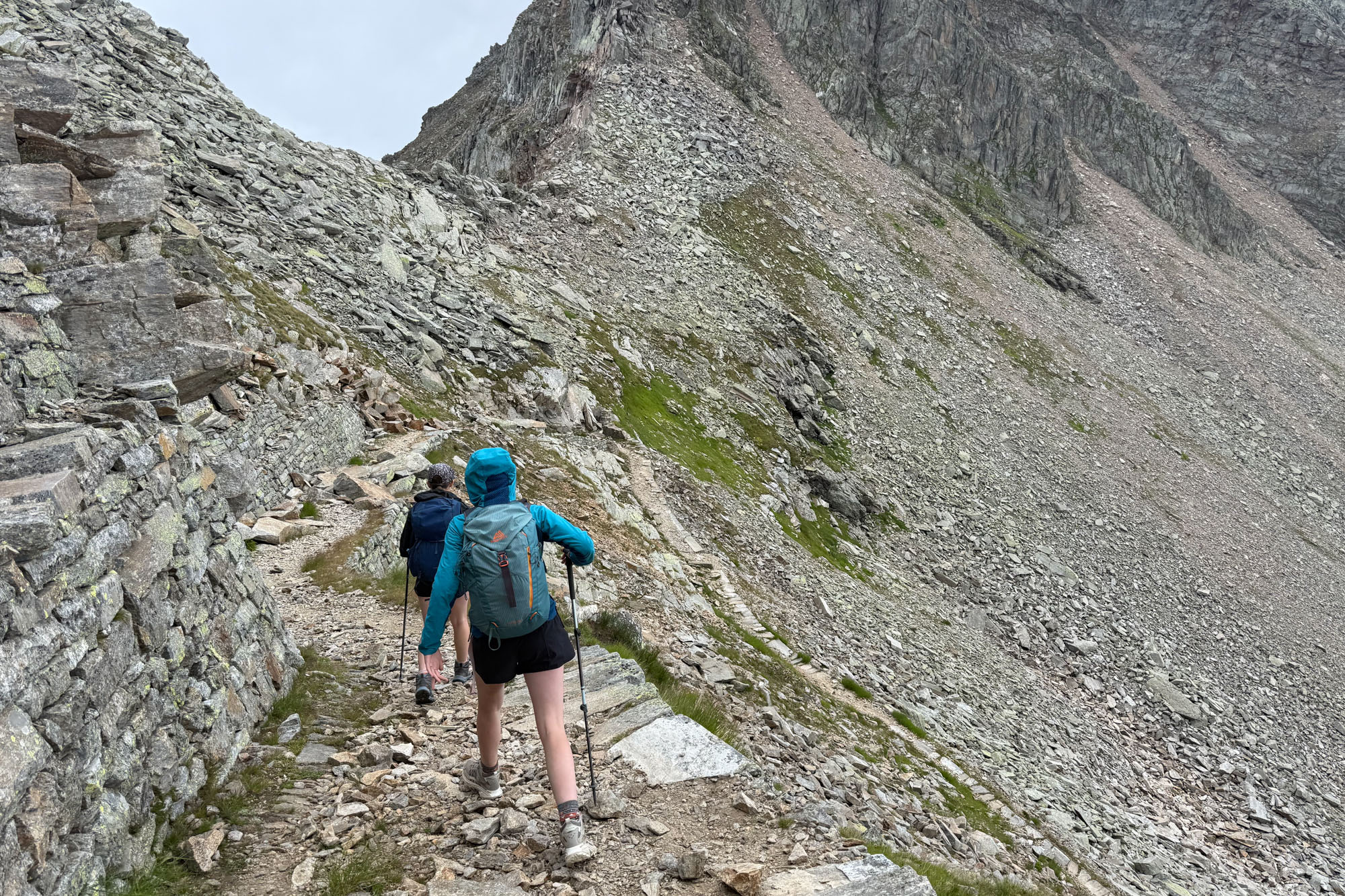
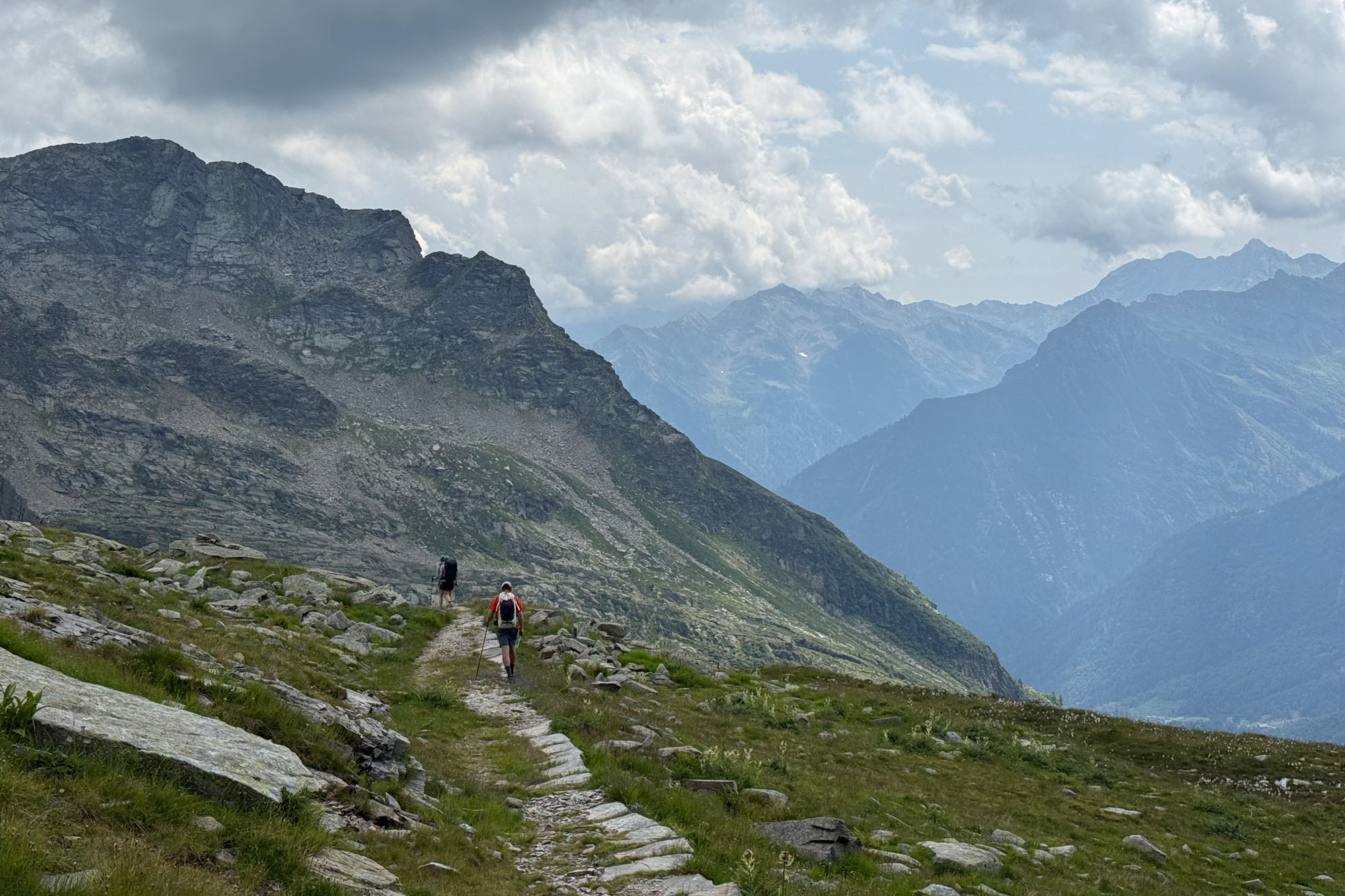
We made decent time: 6 1/2 hours to Turlo Pass – 5,000 ft up and mile 10. At the pass we took a much needed break and then started down the other side. We were worried the backside would be steep and hurt our knees but it also had gentle switchbacks and we made good time.
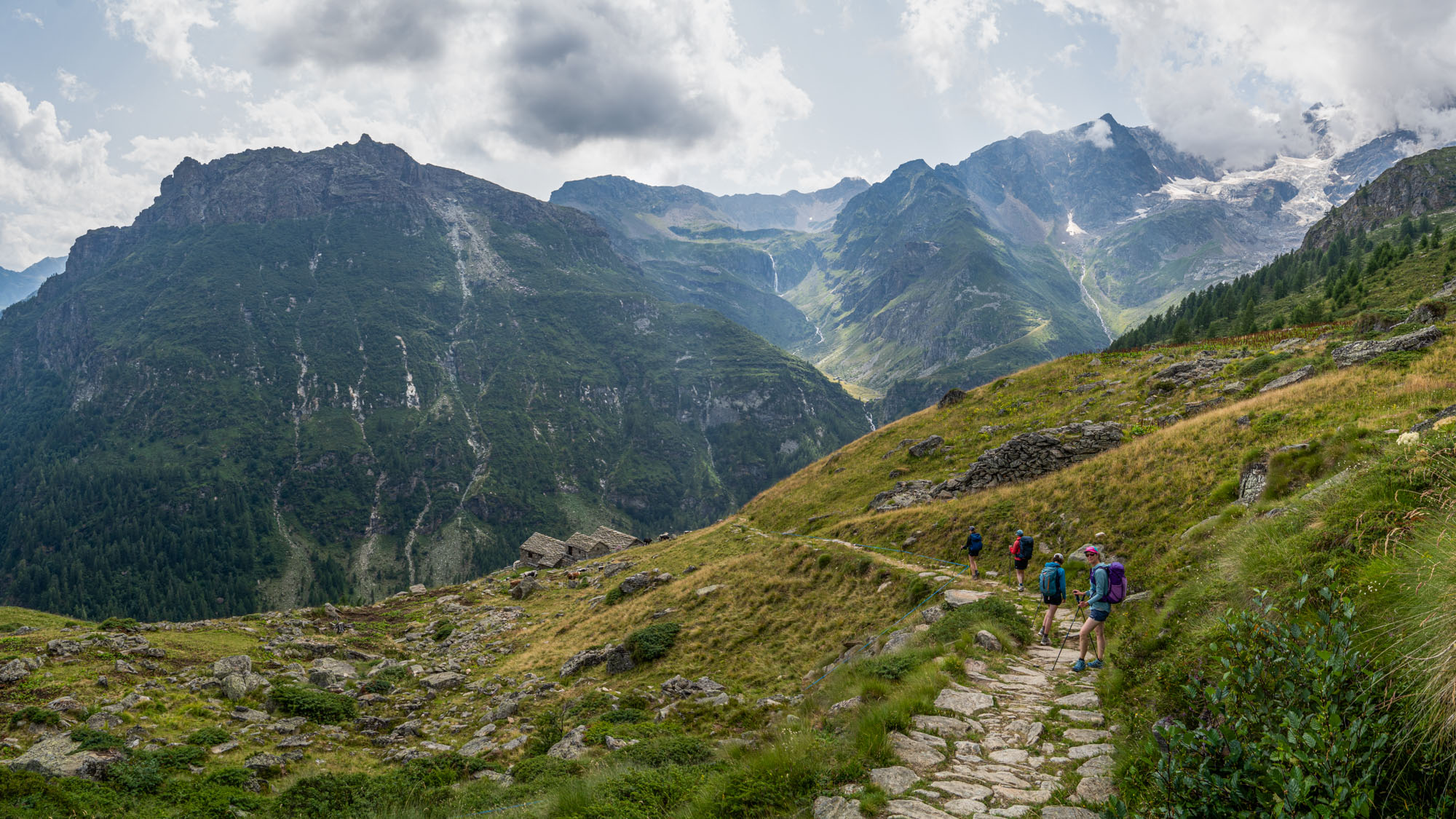
About 1,000 ft below Colle de Turlo.
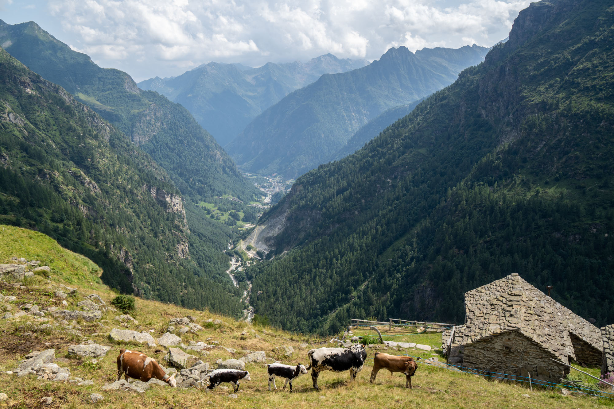
Another 5 miles and 5,000 ft down. We passed ibex and herds of cows and goats and continued to drop. On and on and the hours dragged but eventually we veered off the trail and to Refugio Pastore – our hut for the night. Situated at the base of Monte Rosa and several hundred feet above the valley floor (and not accessible by road) the Refugio consisted of a beautiful group of buildings with shared rooms and large communal dining area.
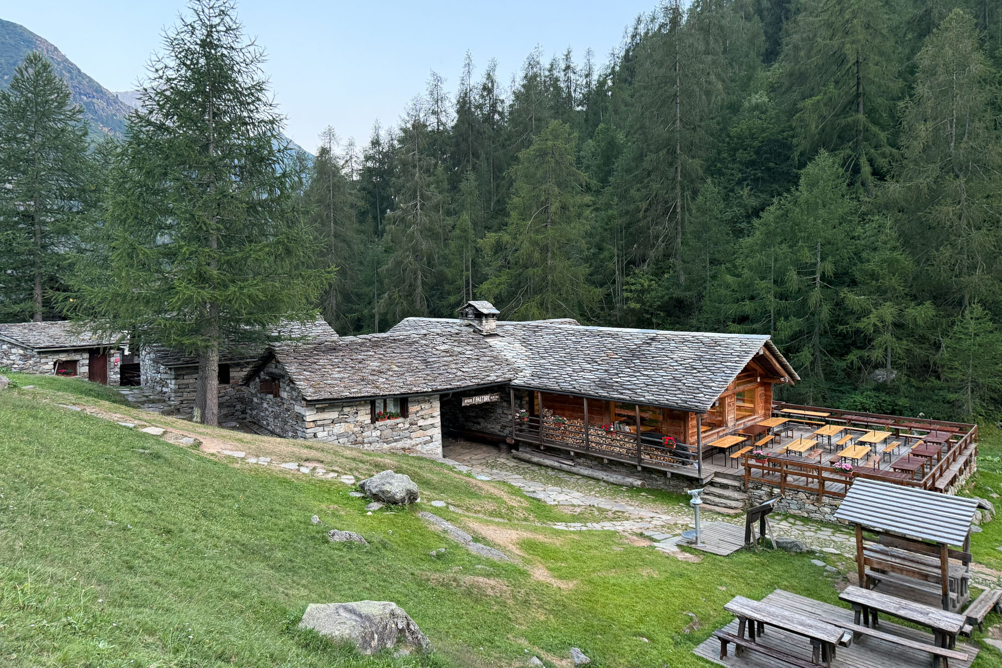
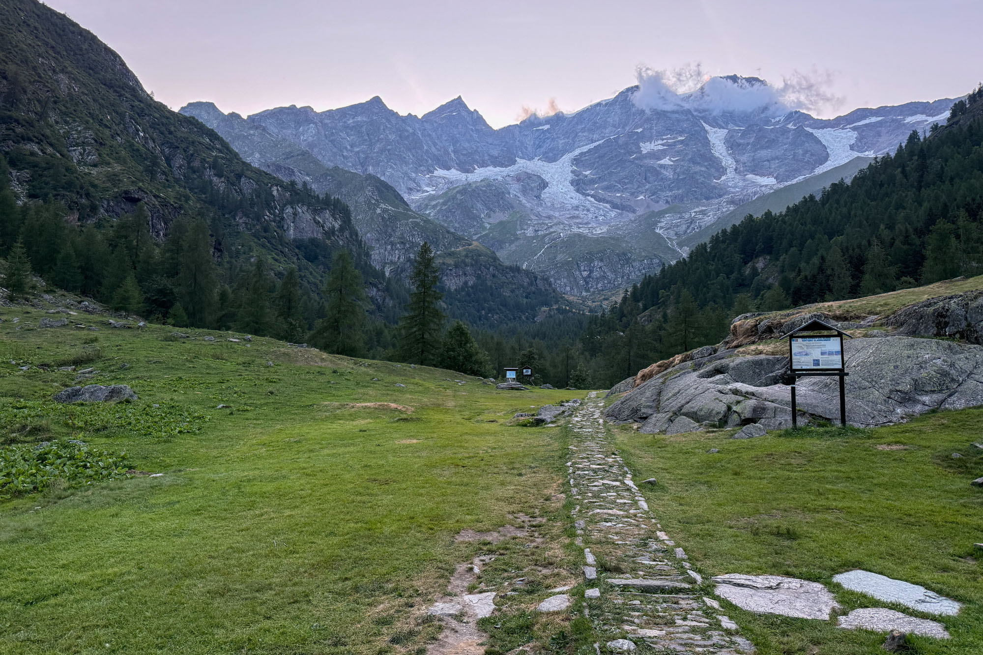
The company that manages the hut also manages several other mountaineering and trekking huts in the area – including the Margherita hut. The food and service was excellent and the rooms comfortable and quiet and the surroundings absolutely magical – it could possibly be my favorite hut of the entire trip. We ate dinner and stayed awake till the stars came out and stared into the sky at the mountains backlit by stars.
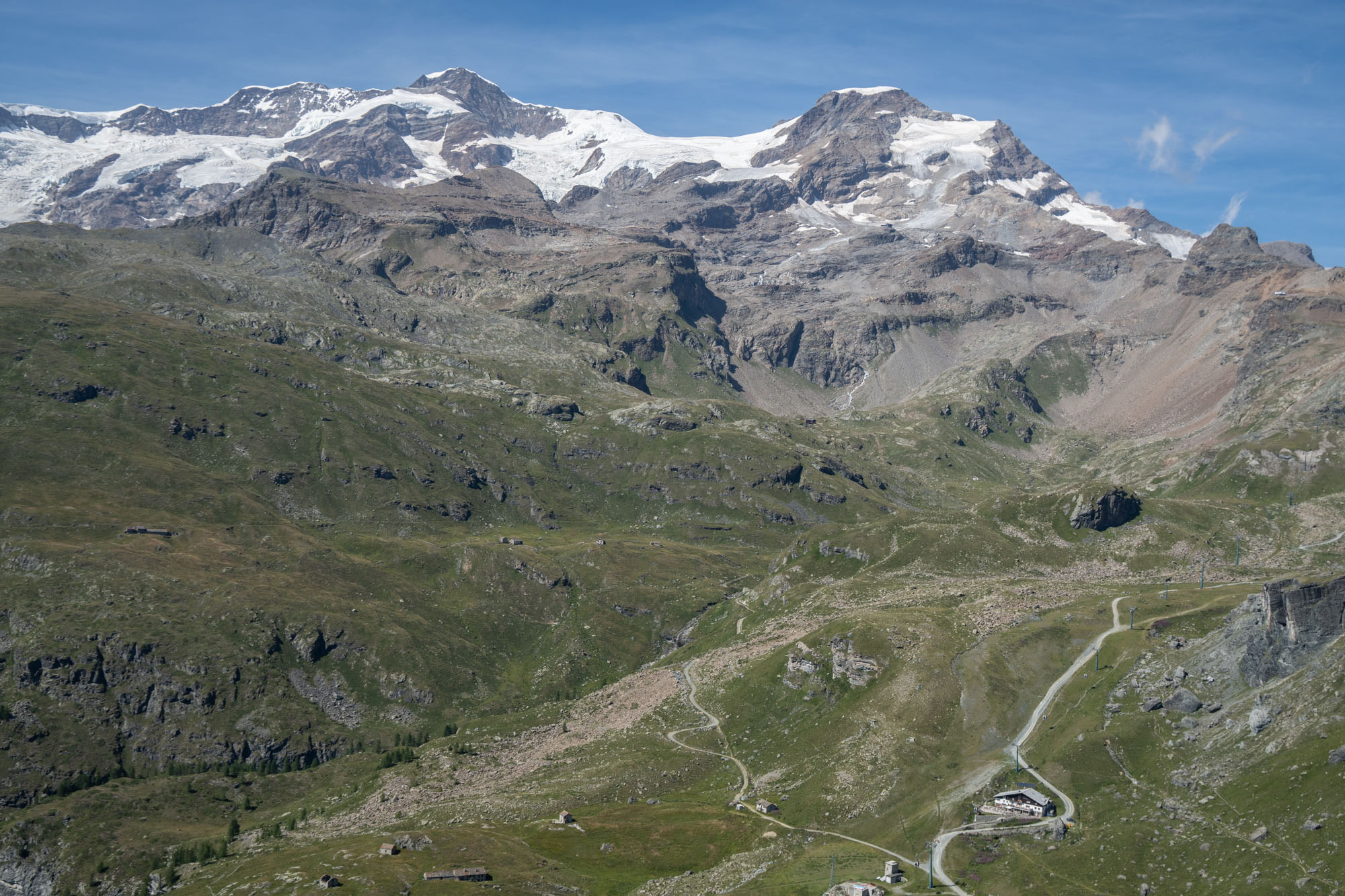
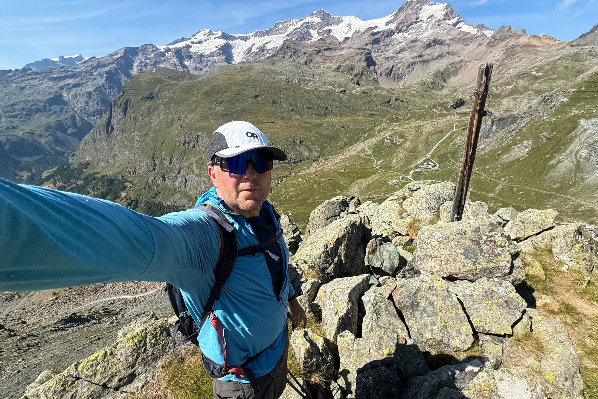
Looking down at our hotel for the night (Albergo del Ponte) from the summit of Corno del Lago Gabiet. The large mountain top left is Liskamm (14,590 ft) and Piramide Vincent (13,829 ft) is on the right.
Day 7: Monte Rosa ski area to Albergo del Ponte
Day 7 was our rest day. An easy 2.5 mile downhill walk then a 5,000 ft ride up the Monte Rosa ski area tram followed by a 3 mile walk that descended 1,700 ft to our hotel for the night.
We woke the sound of a helicopter hovering overhead. Pastore (and the mountain huts on the south side of Monte Rosa) are owned by the Italian Alpine Club, but managed by Rifugi Monterosa MBG slc (slc is the Italian version of LLC). The company employs several pilots and leases several Airbus H125s and that are used for transport and restocking the huts. There are no roads to the huts so as soon as the sun comes up the helicopters start flying and drop everything from giant propane tanks to wine. We were right in the flight path for all the huts and the air was clear and still so the helis were working non stop. The dropped loads on the deck as we ate breakfast and then we set off and walked the 2.5 miles downhill into Alagna Valsesia.
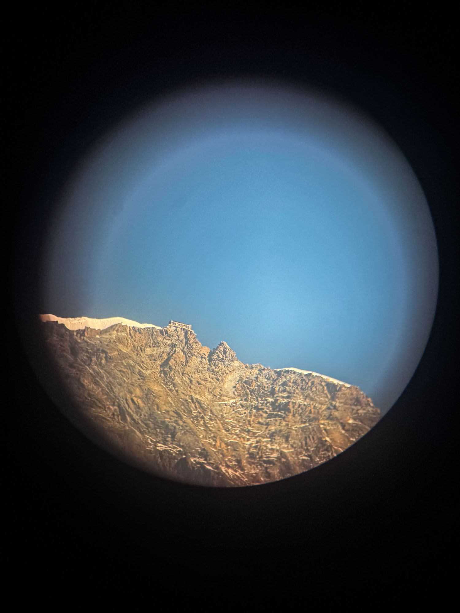
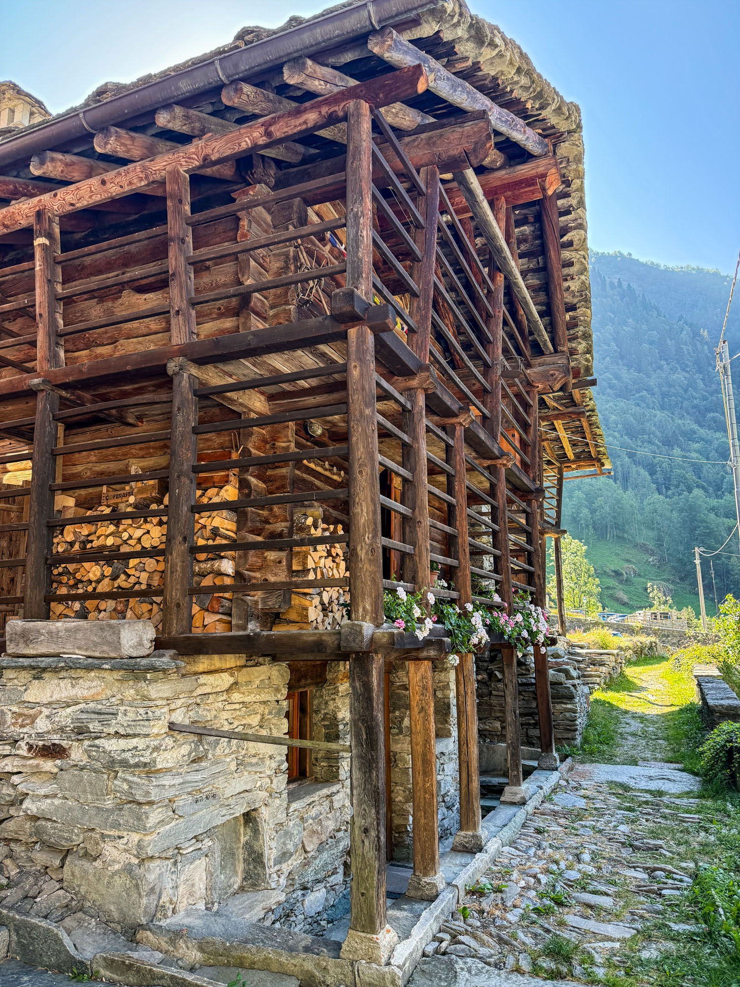
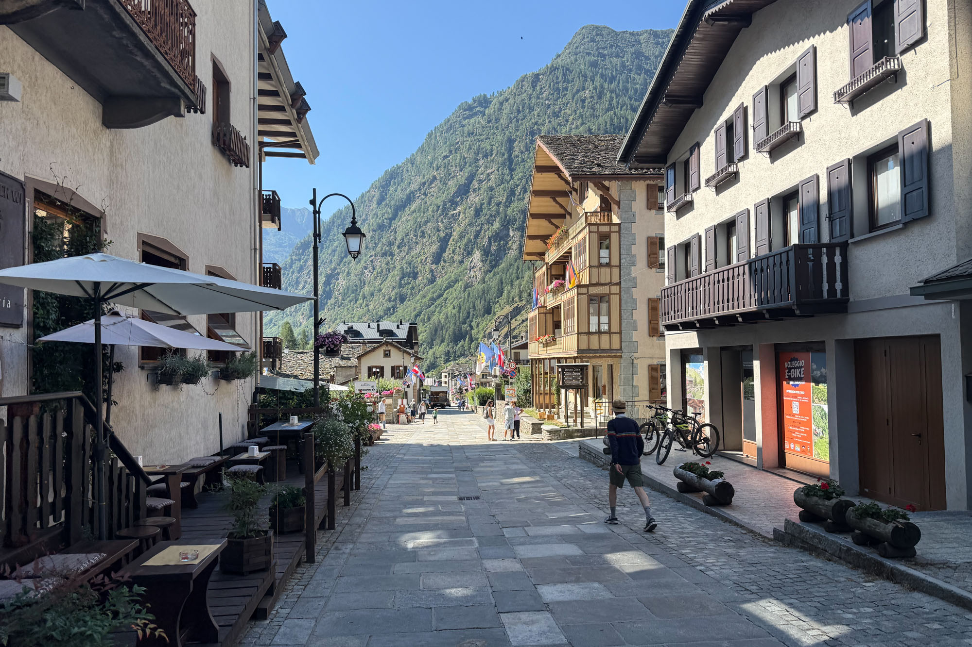
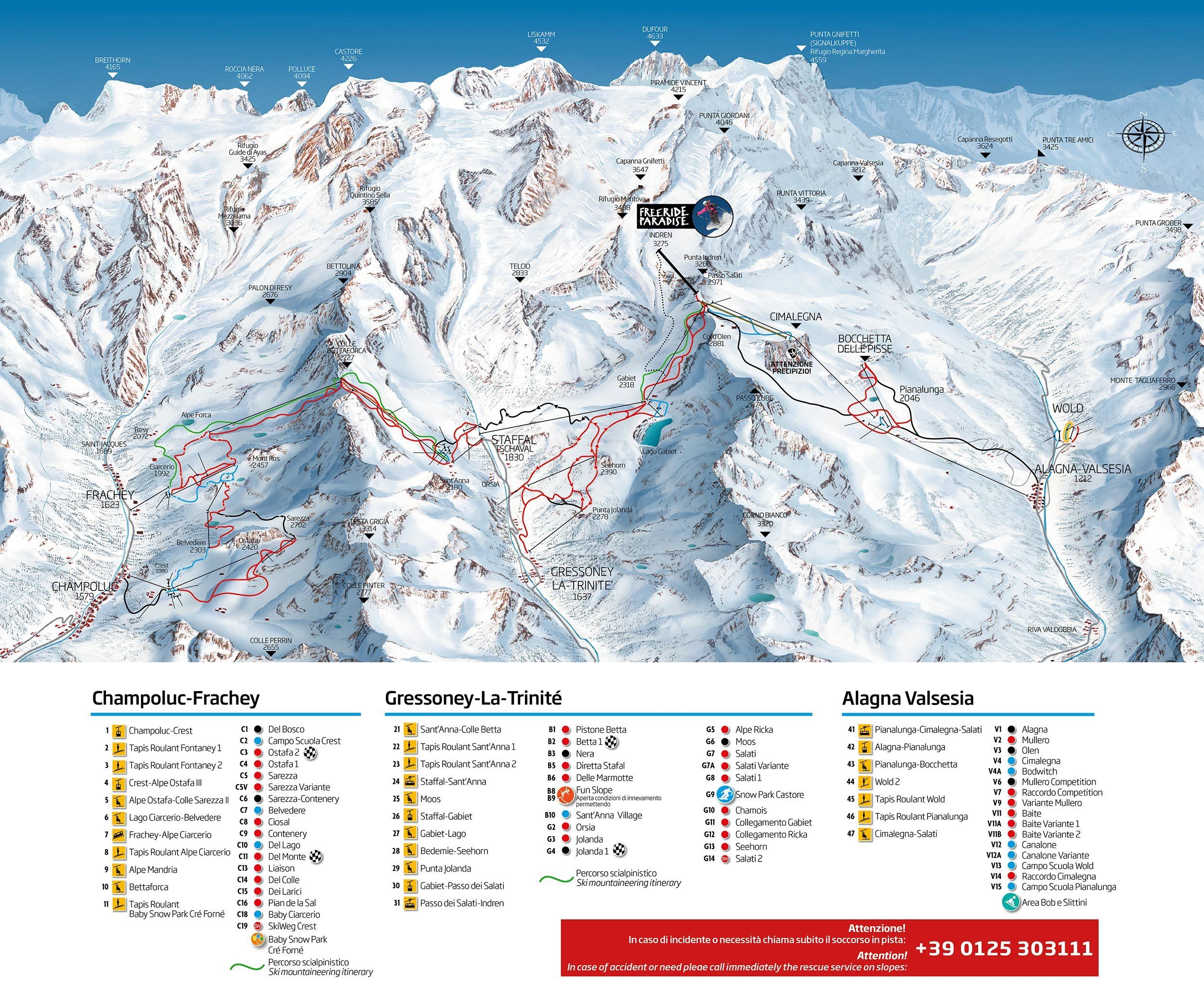
Alagna Valsesia is a small mountain village in the Piedmont region of northern Italy and home to the famous Monterosa Ski Area which offers a network of over 100 miles of lift assisted terrain and and lifts that go up to 10,745 ft. It’s also the standard start for access to Gnifetti and Margherita huts – and the surrounding peaks that are accessed from those huts.
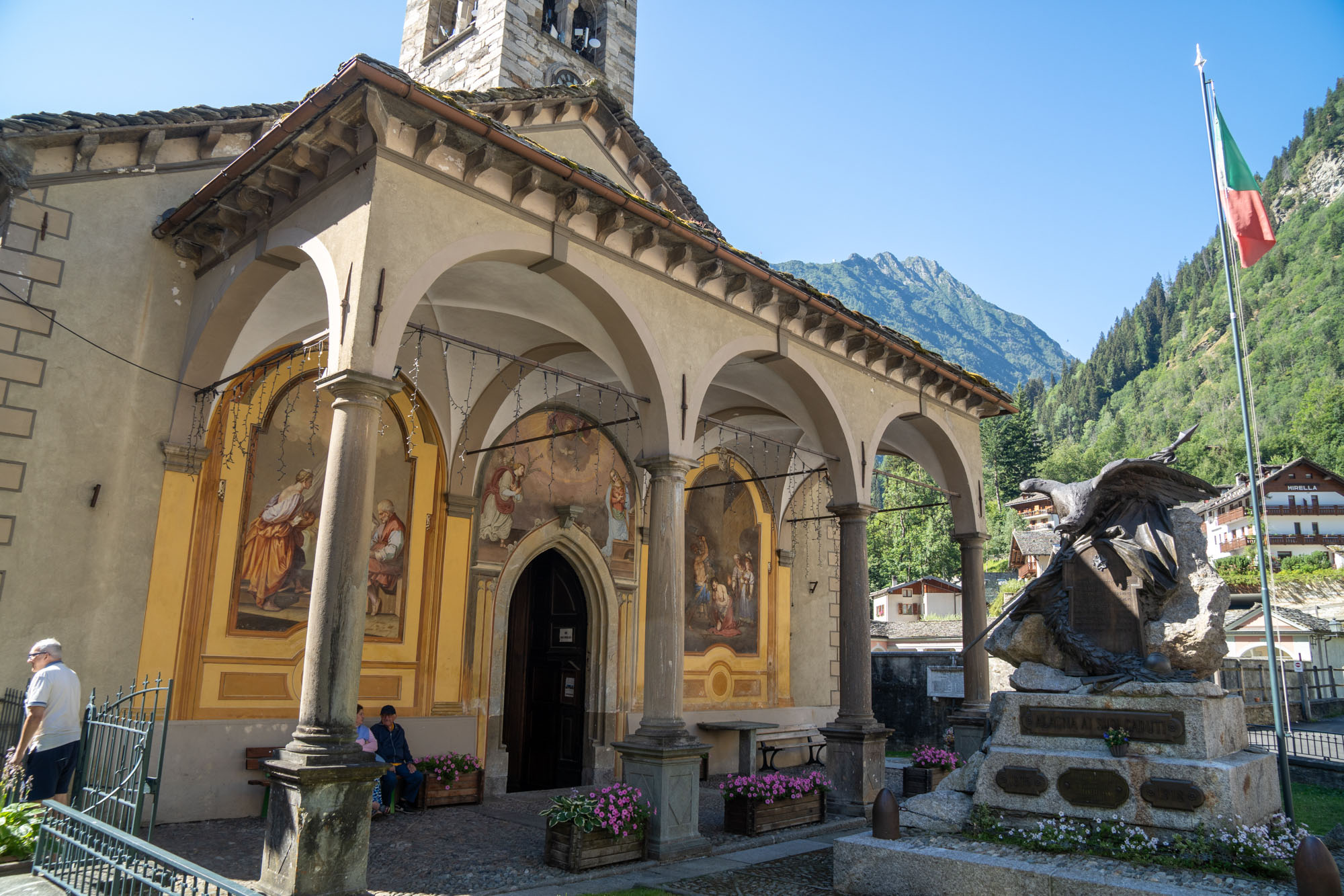
We walked around in town for bit admiring the old stone homes and the ancient church (first built in 1505) and then jumped on the tram. Up and up – a 5,000 ft climb in total. The upper tram (Pianalunga-Cimalegna-Salati) holds up to 100 people, but only held about 25 people the day we rode it. Lunch at the top then a brief climb up and over a rocky point and down 1,300 ft to Albergo del Ponte – our hotel for the night.
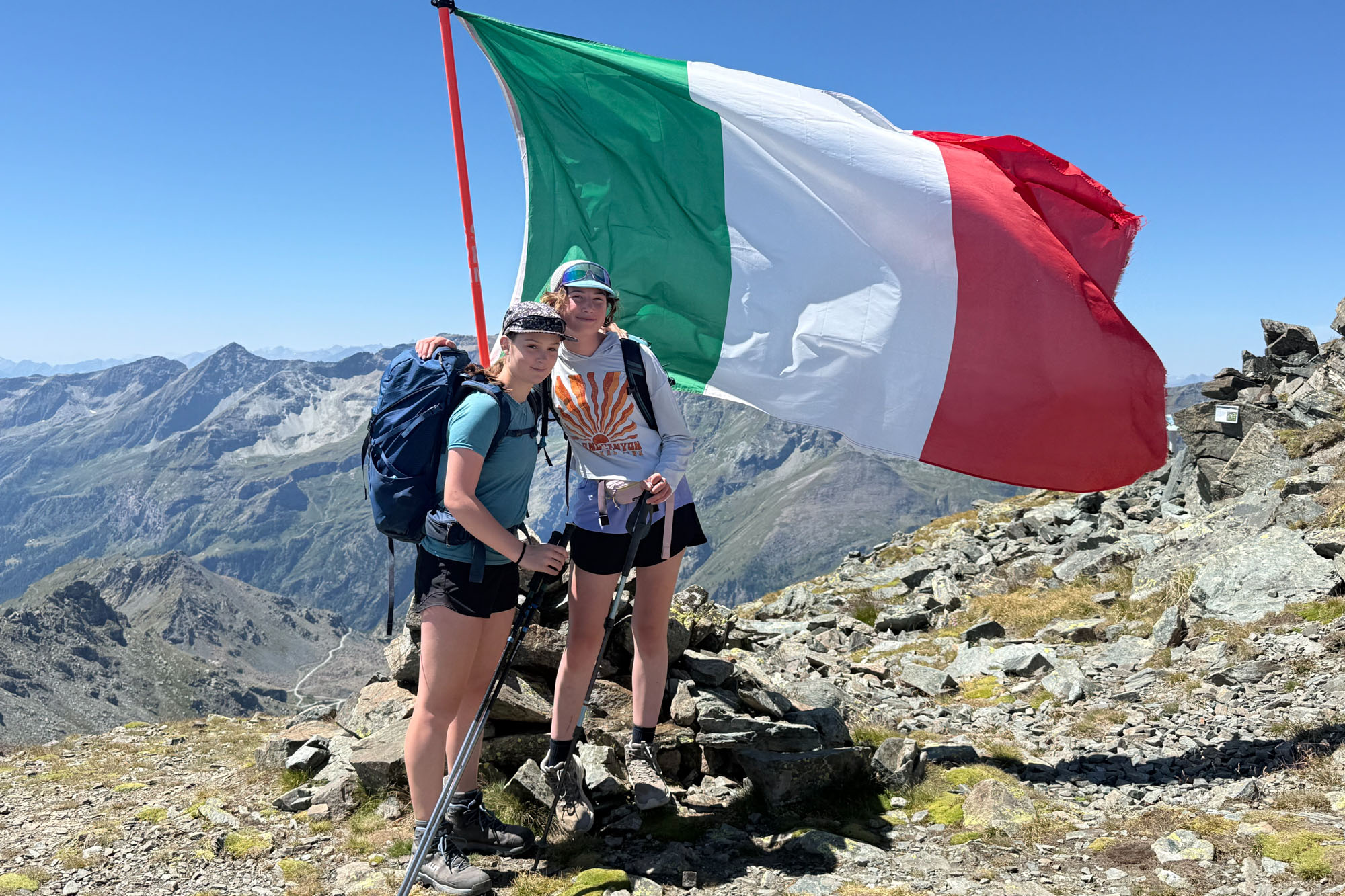
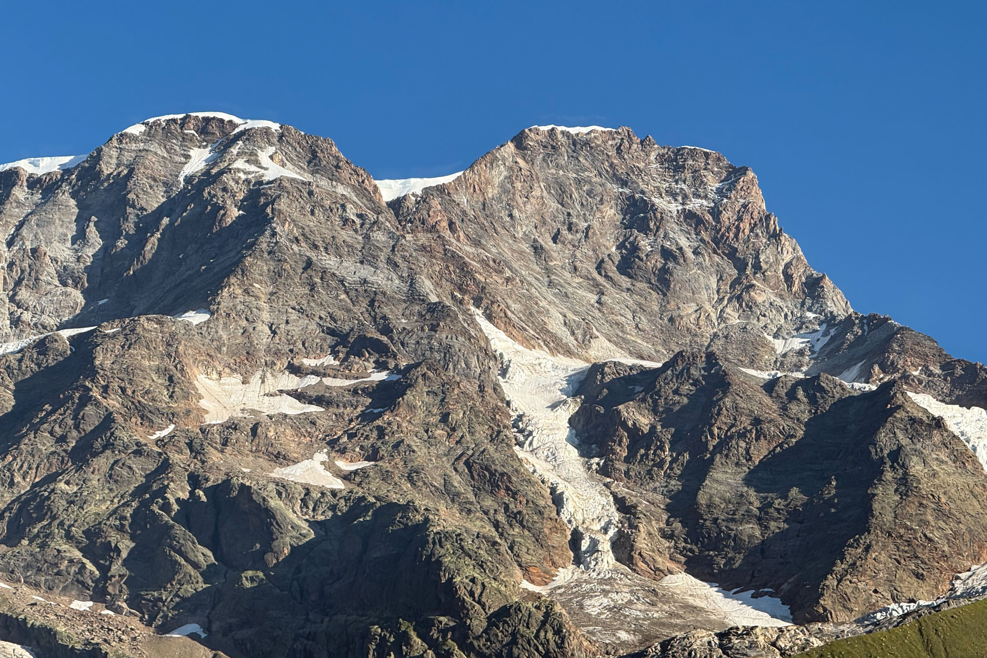
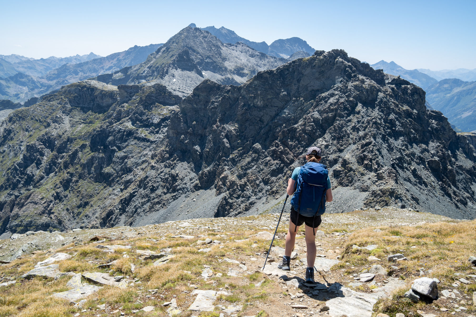
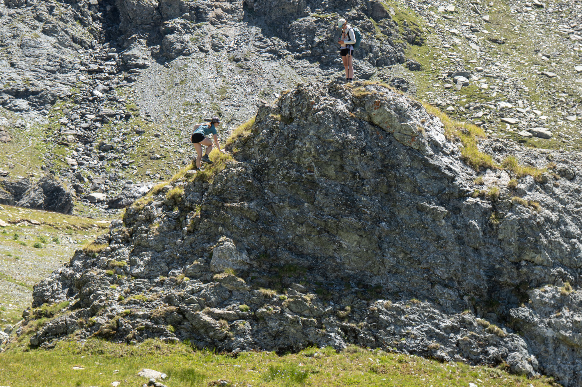
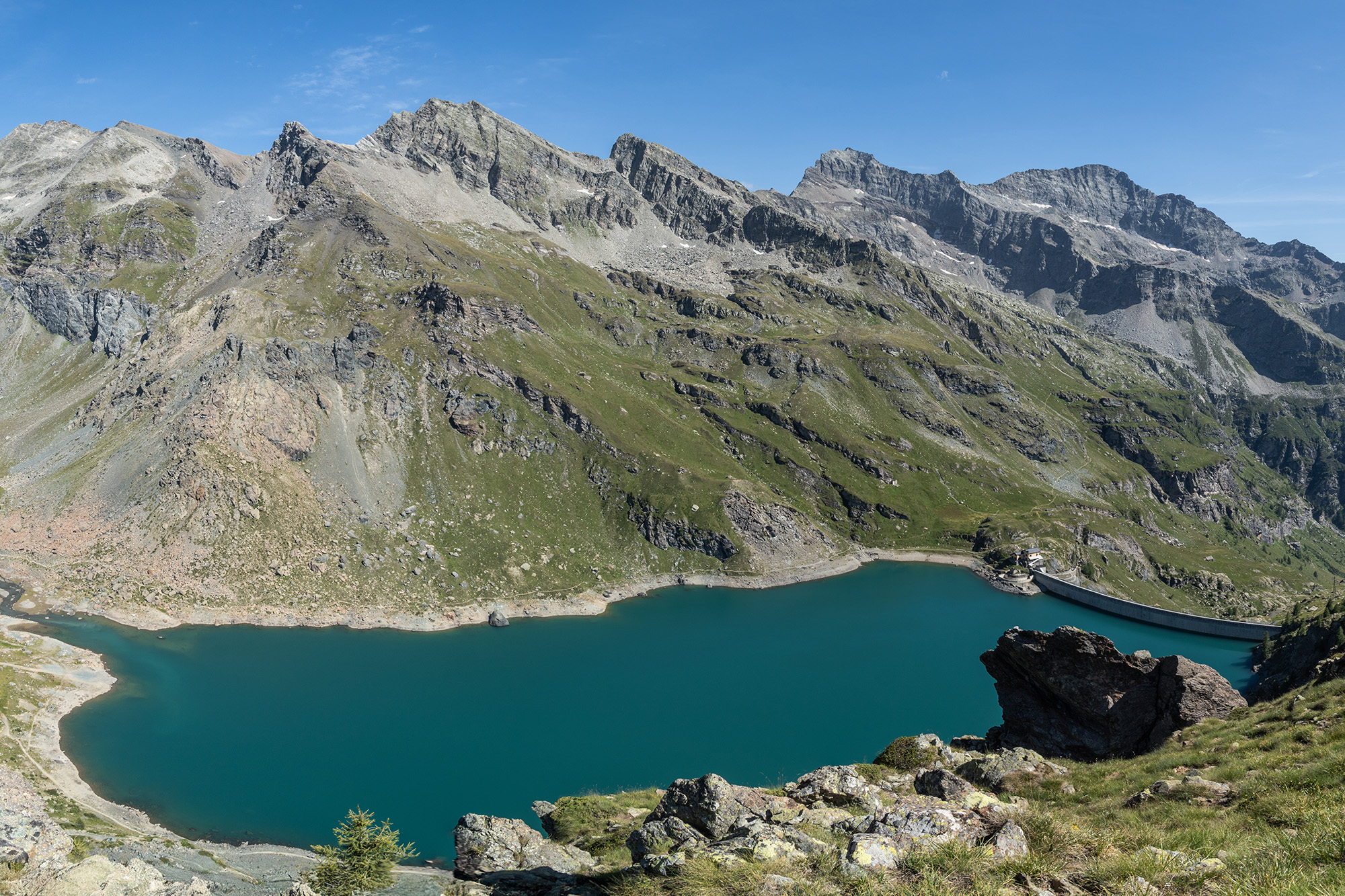
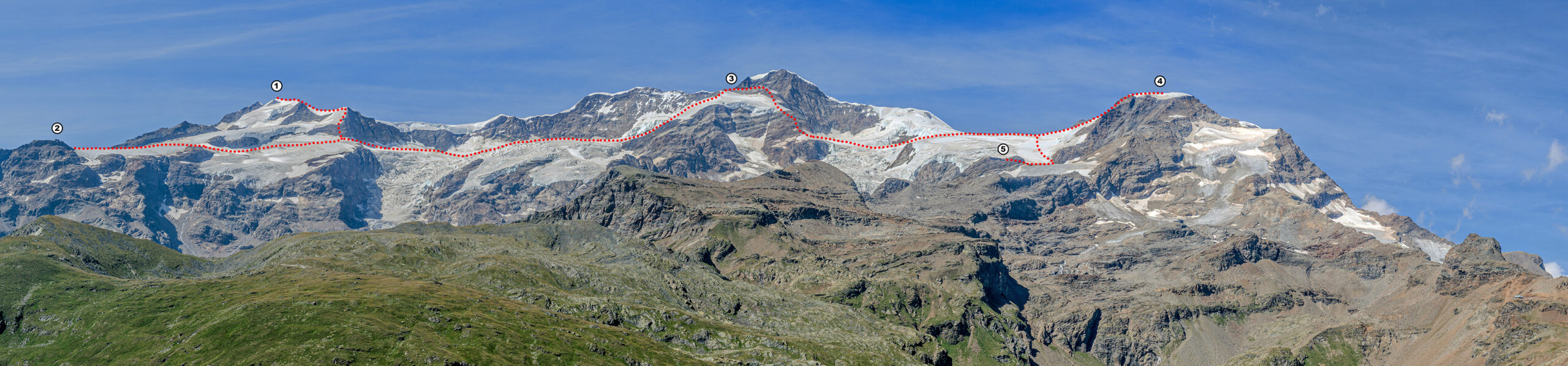
Scroll to view. 👉 Looking north towards the Valais Alps. We would return a few days later to do the classic Spaghetti Tour which traverses much of this area. This view shows where we were on days 2 and 3. We traversed Castor (1) and then descended to Rifugio Sella (2). The next day we traversed Naso del Liskamm (3), ascended Piramide Vincent (4) and then descended to Rifugio Gnifetti (5).
That afternoon I went out for a hike scrambled up and over the small point near our hotel – Corno del Lago Gabiet (8,468 ft). From the top I had an unobstructed view of where we had traveled that day and the glaciated Valais range to the north. I hung out on the summit for a while then descended to the hotel for another excellent dinner and comfortable bed.
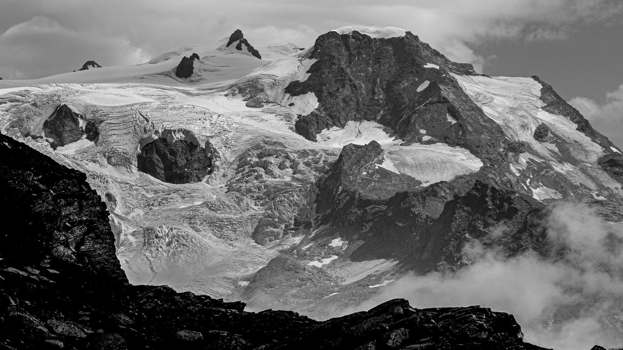
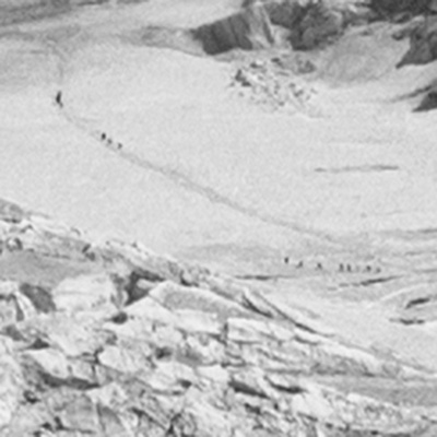
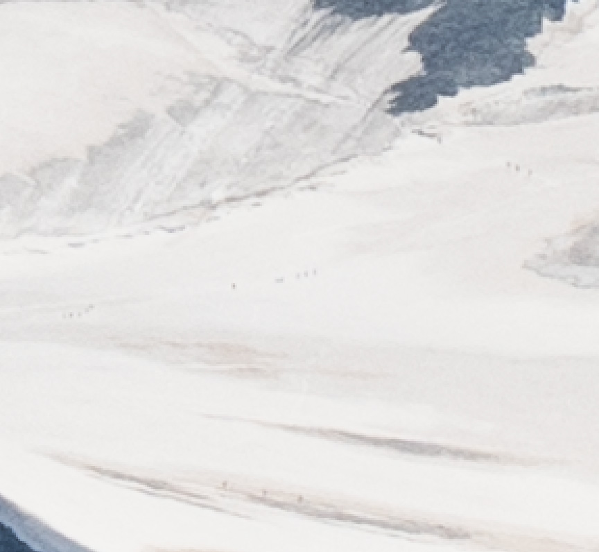
Looking north-west at Ghiacciaio del Lys, Piramide Vincent (main peak center right), Balmenhorn (the small rock outcropping middle left) and Corno Nero (rocky point in the middle). Zoom in and you can see climbers on the glacier.
Day 8: Descent to Rifugio Guide Frachey
The hiking was starting to wear on the kids so we opted for another easy and bypassed a few miles of hiking via trams. This was one of the reasons I opted for this hike: The total distance for the entire Monte Rosa tour is 104 miles with 36,00 ft of elevation gain – and the biggest hike Isabelle had ever done was only 50 miles. Thus we chose a hike with multiple bail out points and cheater legs where if need be we could even take a bus or taxi to cut down the mileage. There are several stages where you have to hike all day (or take an 8 hour taxi ride) – but there are also days when you can cut miles and vert with trams. For this stage we opted to take a tram 1,500 ft down to the village of Staffal followed by another tram 1,200 ft up to a trail we could take us to our next hut.
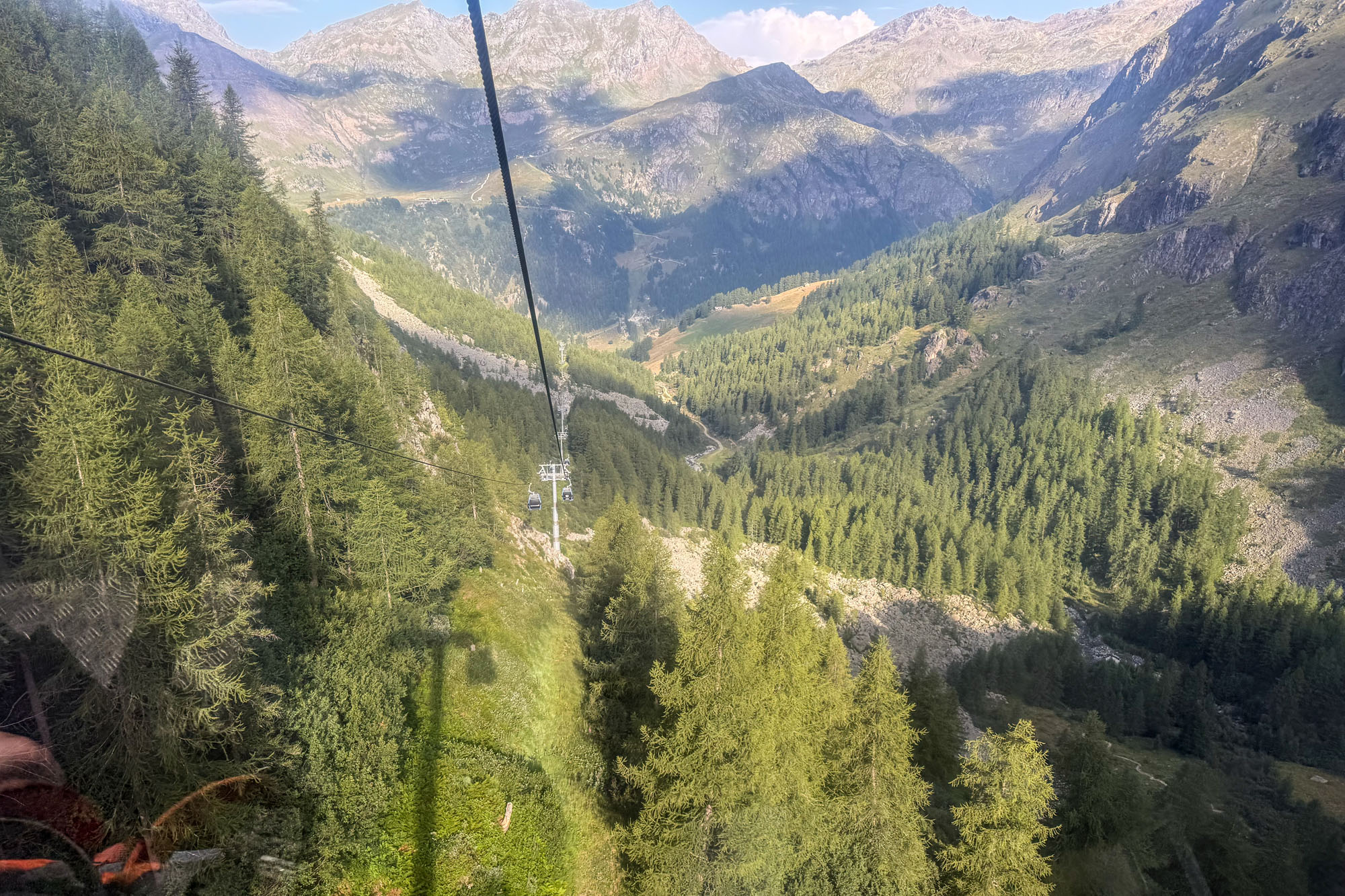
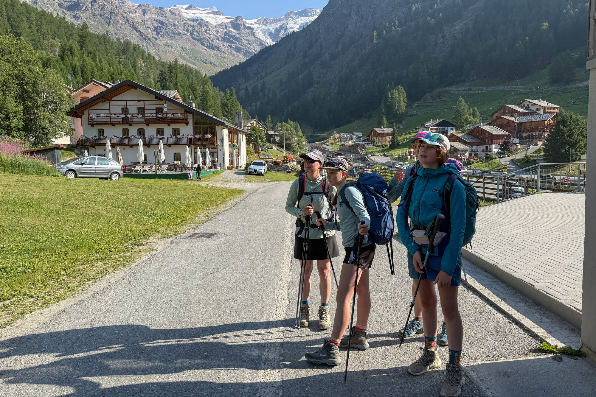
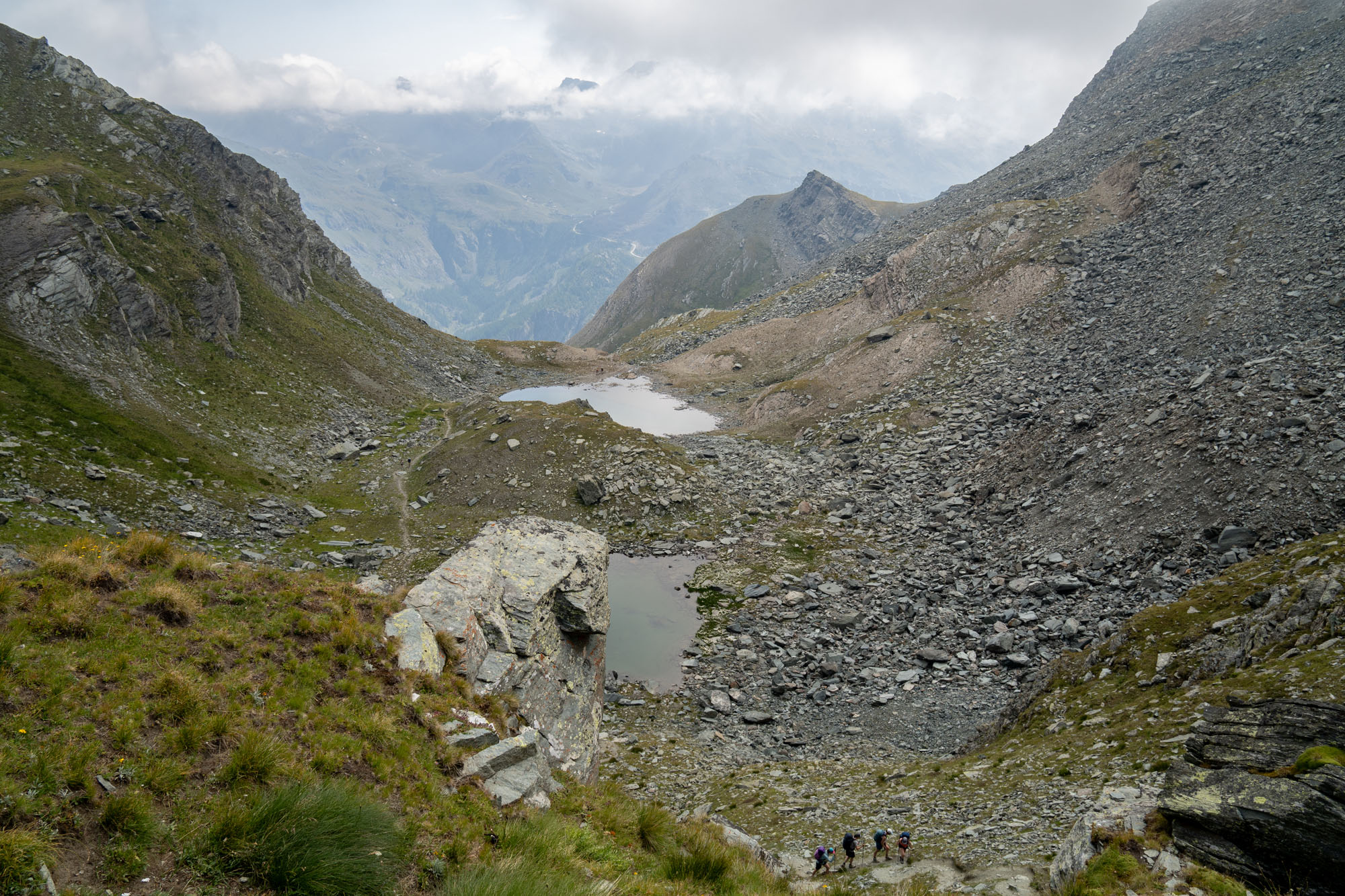
It was a short walk from our hotel to the lift that took us down to Staffal, then we jumped on another lift and rode up to the midway point where we were able to get back on the trail. A hike through the alpine lead to Colle de Rothorn which we ascended and dropped over and worked our way through a bit of talus to get back on a good trail. This in turn lead us back to the ski area and we were soon near lifts and following dirt roads up and over a small col and then dropping towards Frachey.
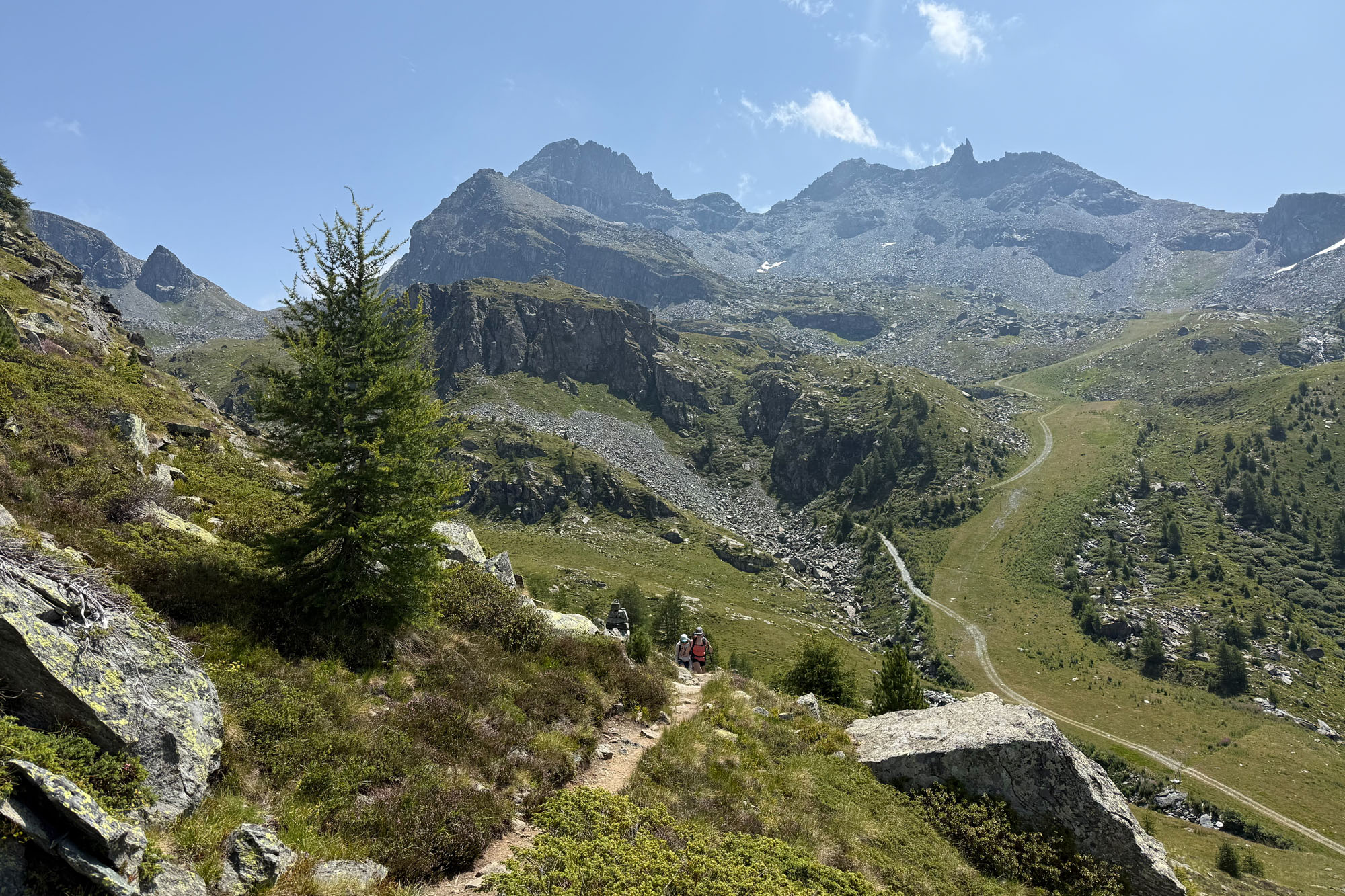
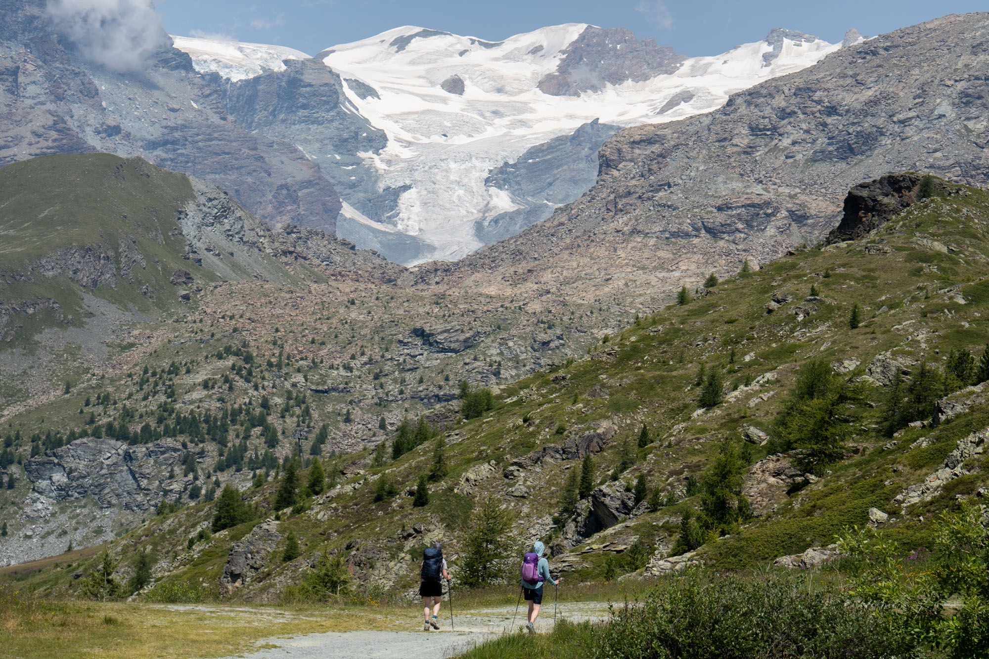
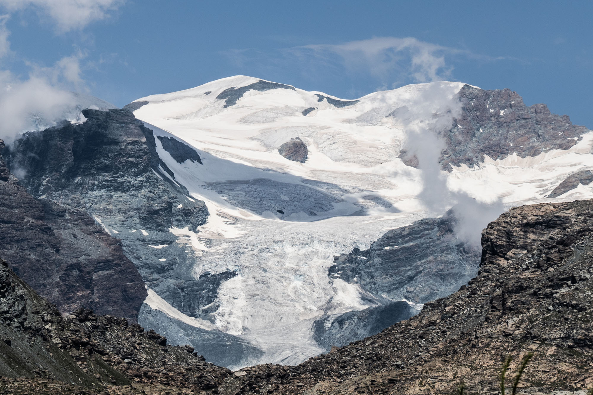
We ate lunch at La Mandria – a restaurant situated along the trail. In the winter this is lift-accessed and you can stop and eat mid-run, but in summer it’s only accessible by hiking and is a quiet spot with excellent food and drink. Louis got a huge plate of thinly sliced raw beef which he inhaled. Later on my climbing trip our guide explained this is called carpaccio, which is not to be confused up with the Italian word for crevasse which is crepaccio. As in – you want to say “Aiuto, sono caduto in un crepaccio” (“Help I have fallen in a crevasse”) – as opposed to “Aiuto, sono caduto in un carpaccio.” (“Help I have fallen into a famous Italian dish made from very thin slices of raw meat”) .
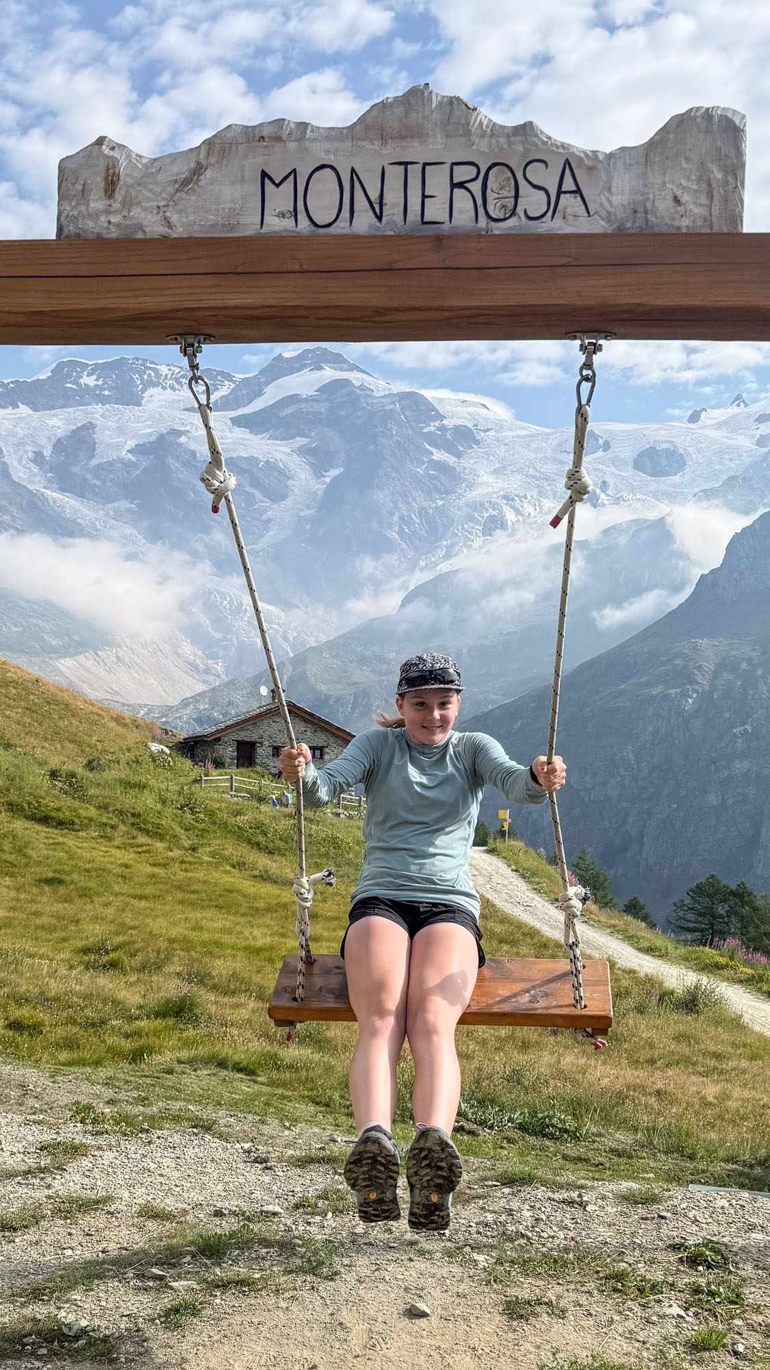
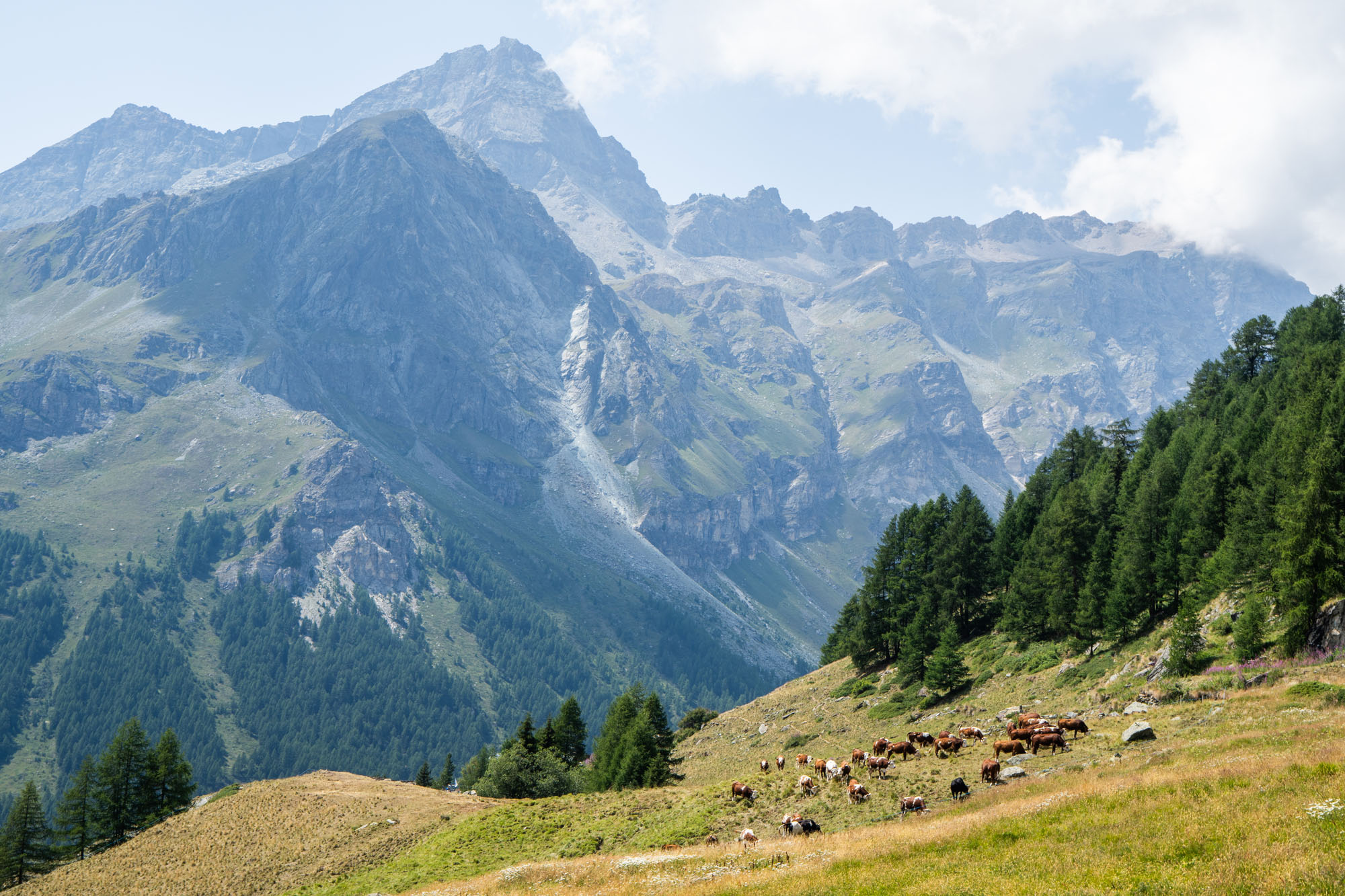
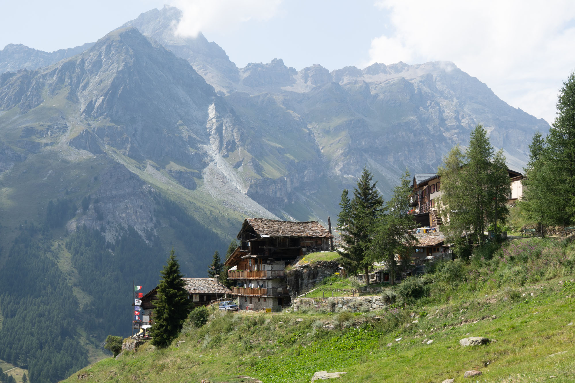
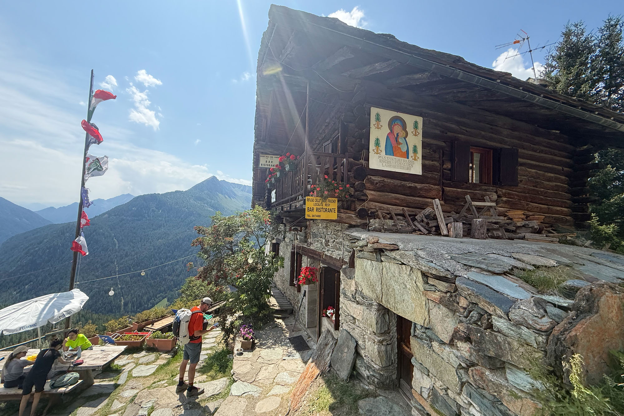
After lunch it was a short hike though meadows and wooded areas to Rifugio Guide Frachey where we would stay for the night. Frachey was a happening place: there were dozens of tents set up all around the hut and the hut itself was full of hikers and young people. This place felt more like a youth hostel than anywhere else we stayed with the average age being around 25 and the dining rooms and bedrooms and bathrooms stuffed with people. In the afternoon a huge thunderstorm rolled through and we sat under tarps with other guests and watched the rain pour.
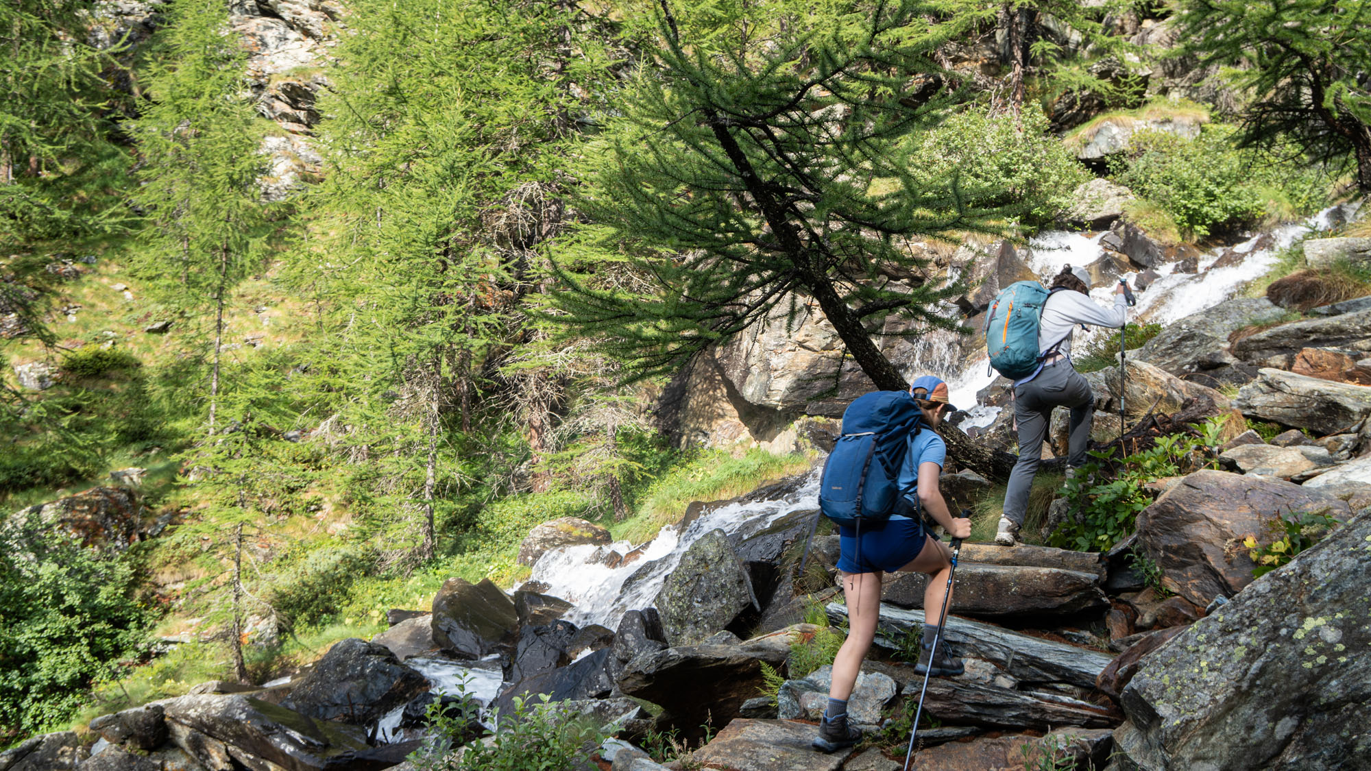
Aven and Isabelle next to Torrente di Tzere.
Day 9: Plan de Verraz-Dessous to Colle Sup Cime Bianche to Teodulo
Day 9 was our last real day of hiking – we’d have a final day to Zermatt that would be all downhill and easy walking – but this was a solid 11 miles with 5,000 ft of elevation gain. We were up for the early breakfast, however it was pouring rain (our first day of weather on the trip) so we slowed and waited for it to let up a little. Around 7:30 it began to let up and appeared to be clearing so donned rain gear and began hiking. 20 minutes later the rain had completely let up, and we had descended the 1,000 ft to the valley floor (Plan de Verraz-Dessous) and began our ascent to our final hut.
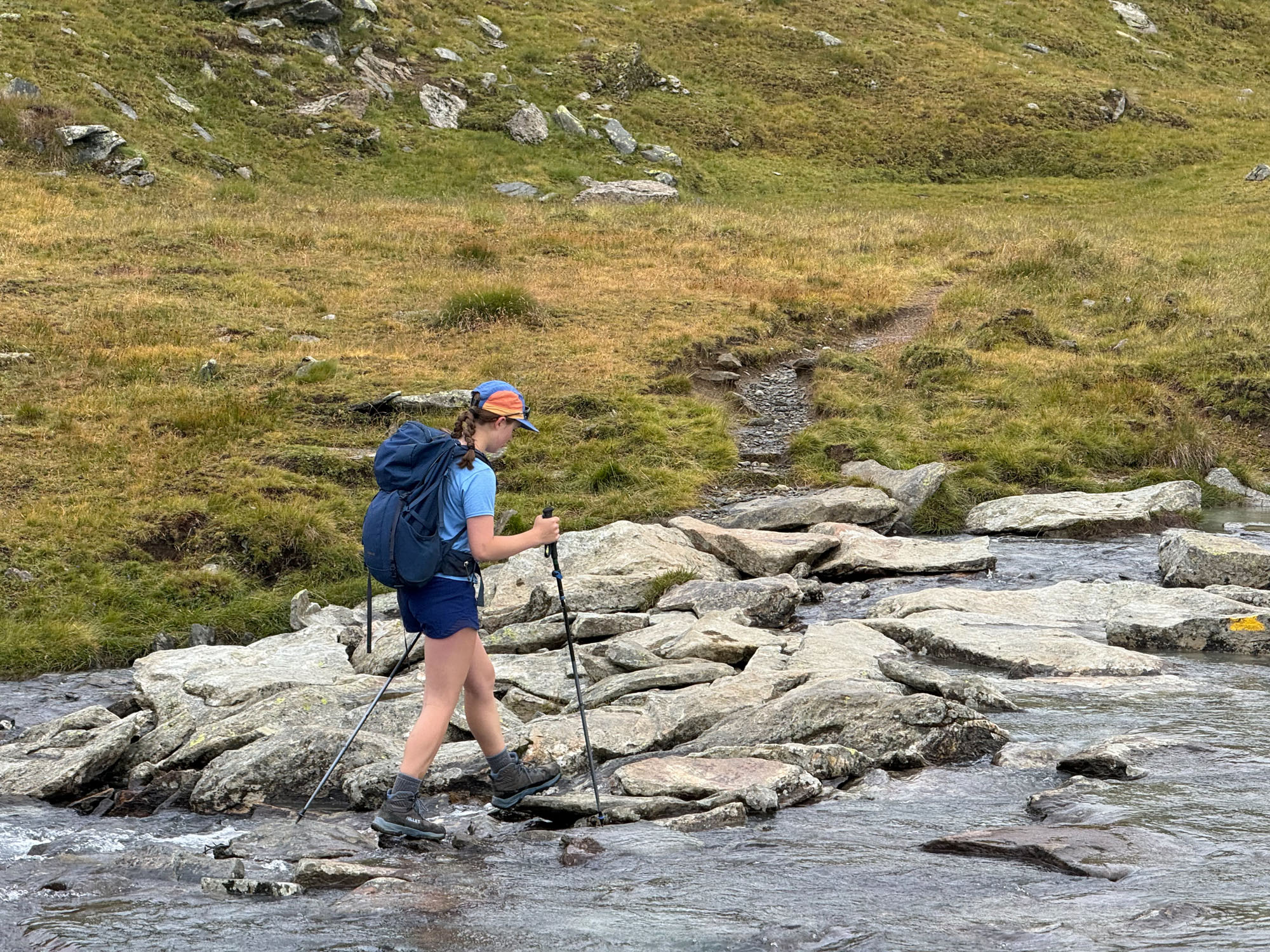
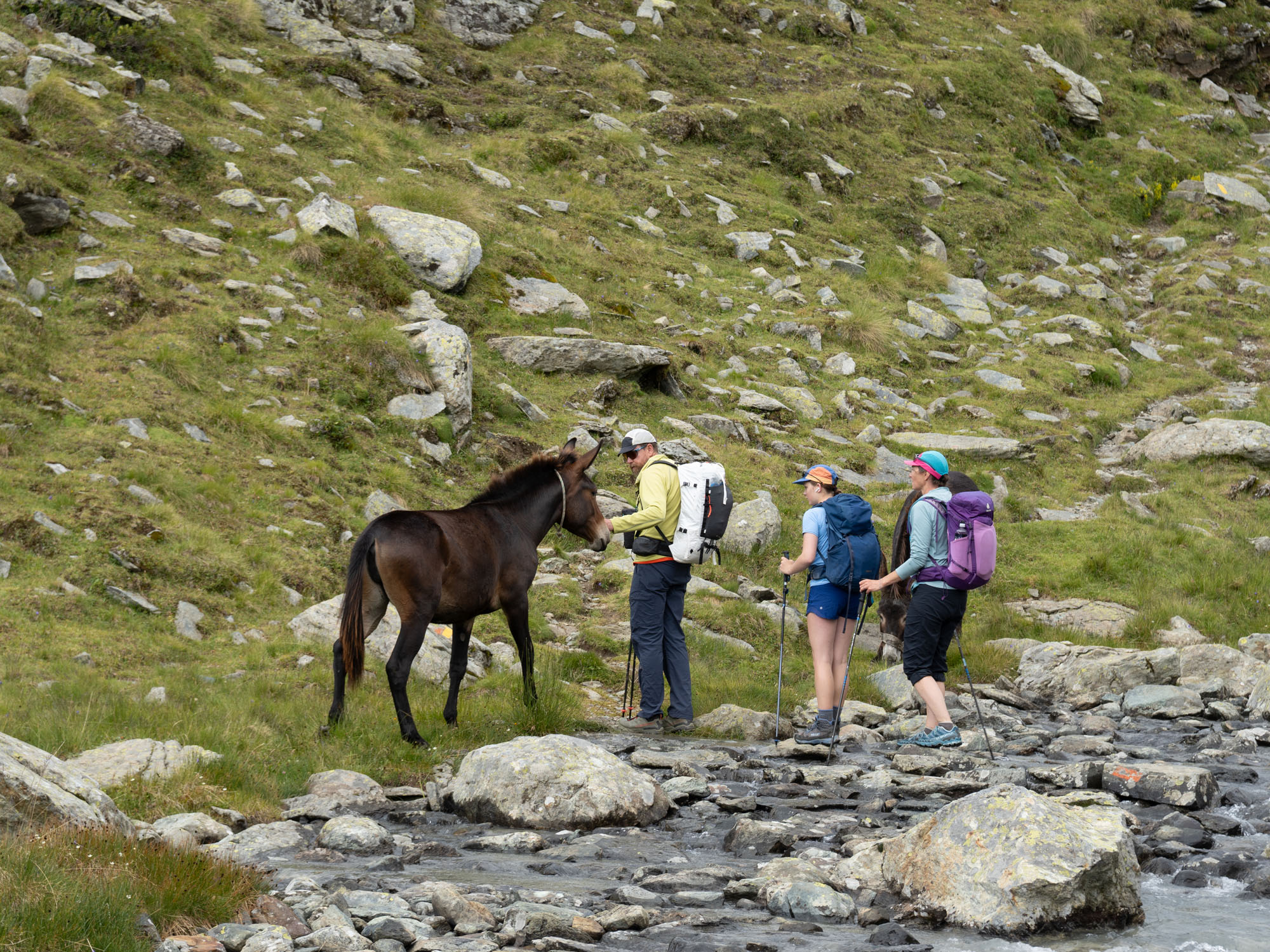
The initial part of this hike was wonderful – a nice path through the woods led to steep switchbacks and a beautiful rock staircase next to the waterfall. Above we passed through 4 hanging valleys each connected by short steep climbs. We walked alongside streams and passed by lakes and herds of sheep and horses. The clouds hung low and swirled but the rain never came back.
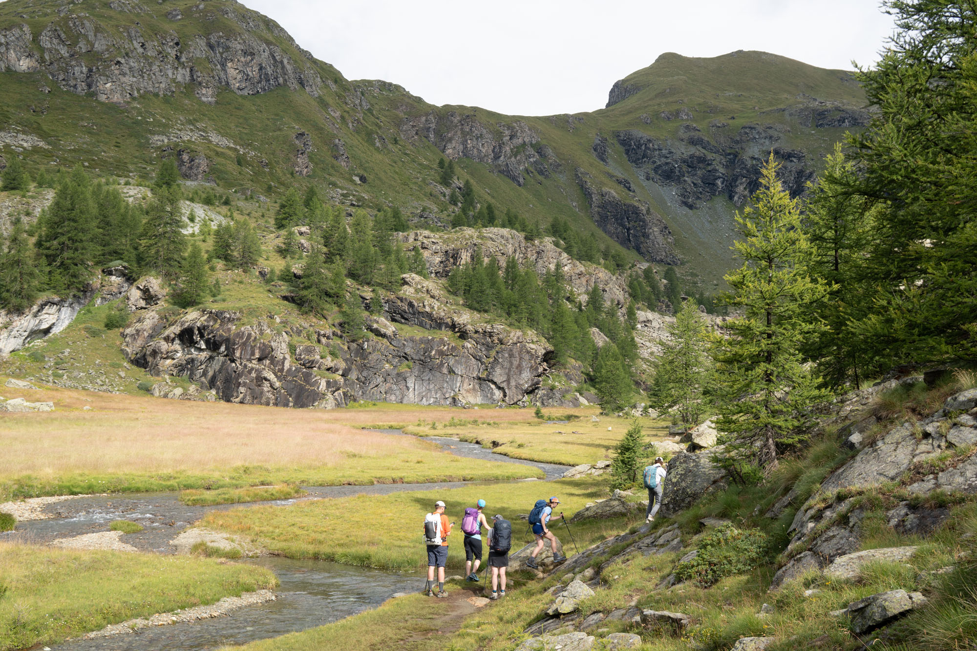
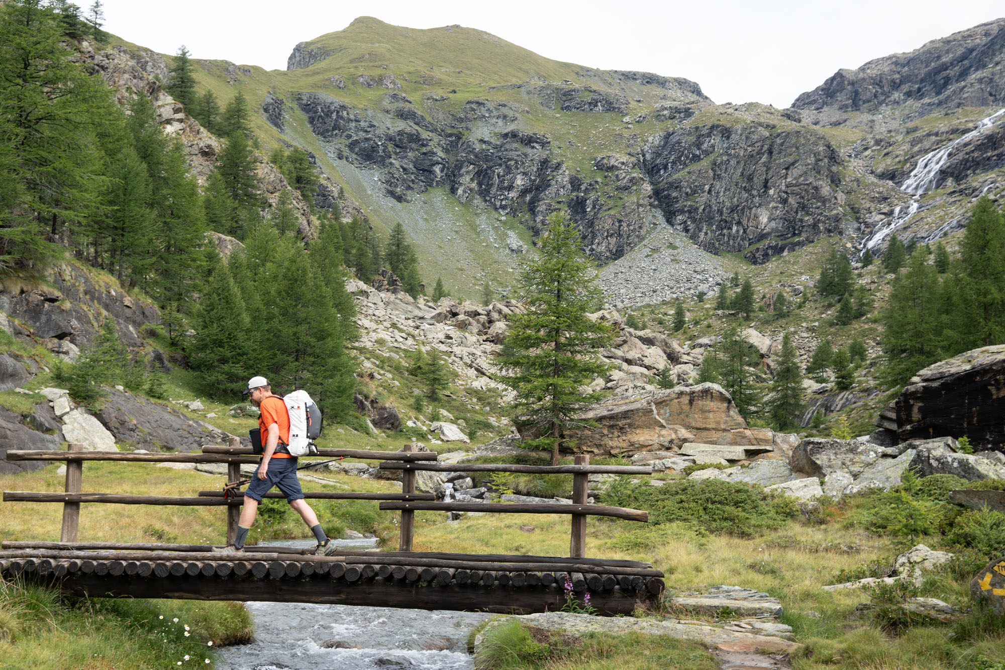
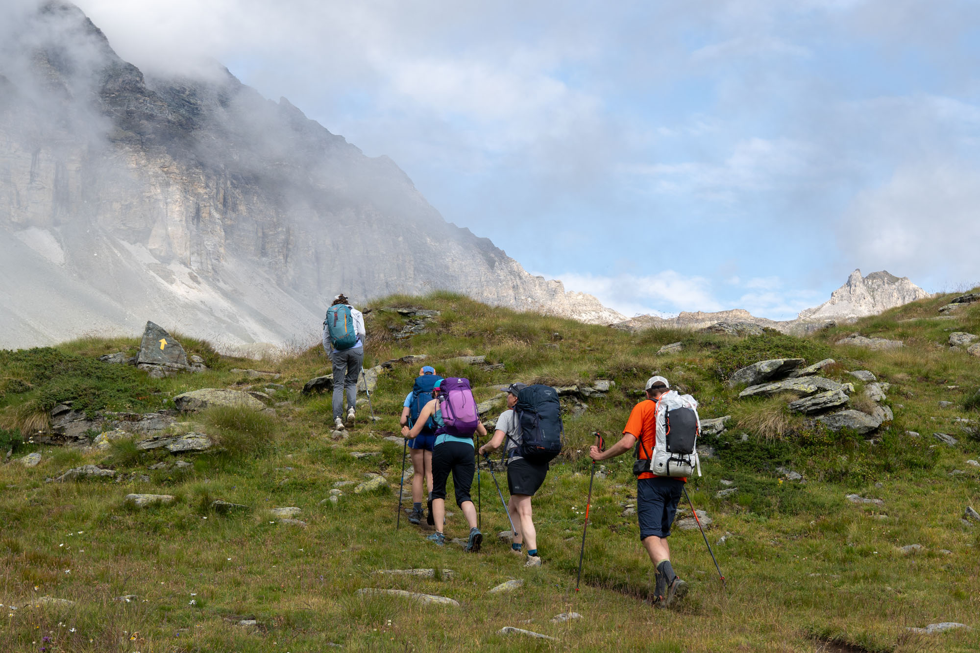
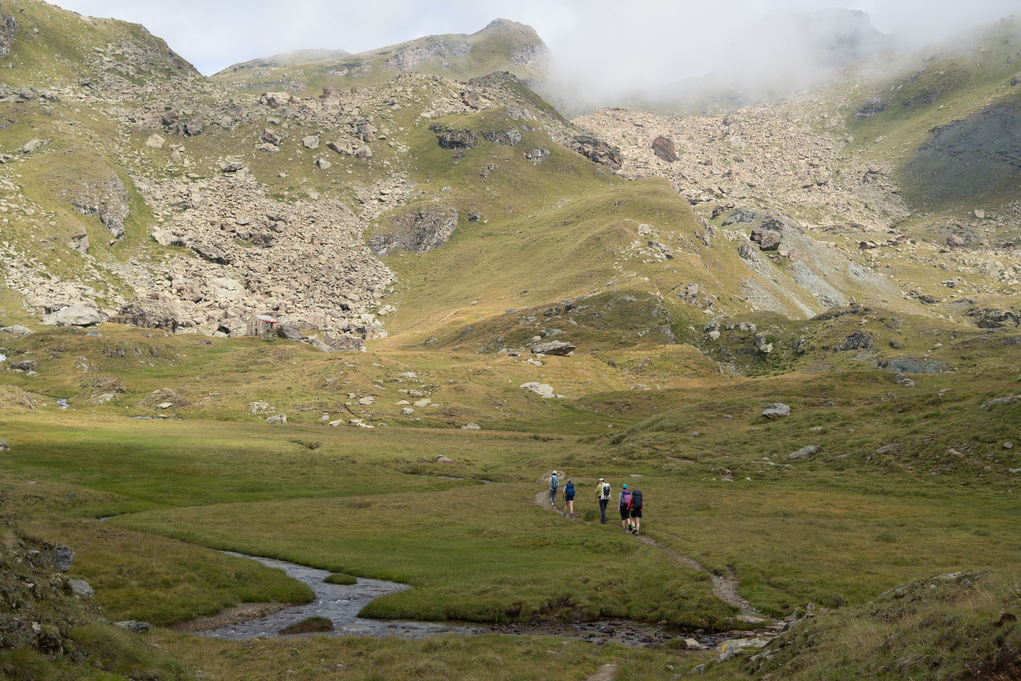
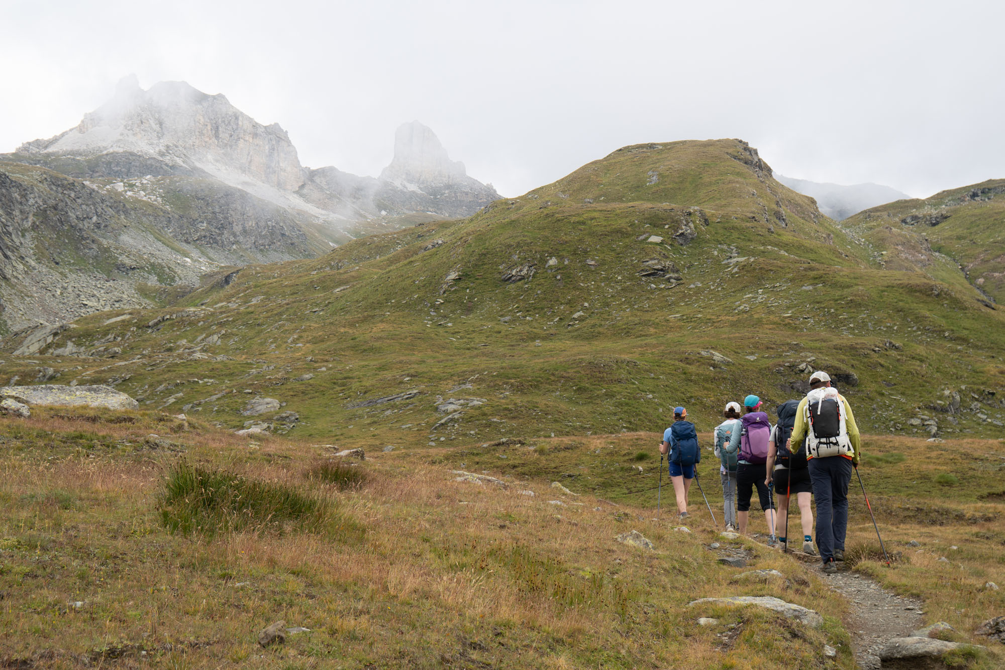
At 9,800 ft the route changed. We crested Colle Sup Cime Bianche and walked into the Breuil-Cervinia ski area and the deep green fields and turquoise lakes gave way to an achromatic gravel pit with large machinery continuously humming. The Breuil-Cervinia ski area opened in 1936 with a lift running from the village to Plan Maison.Tthree years later another cable car was built to gain access to Plateau Rosà at an altitude of 11,358 ft. Upon construction, and throughout the 50s, 60s and 70s, skiers had year round access to snow and the glacier covered much of the upper mountain. Since then however the glacier has been in steady retreat and what was once an icy alpine landscape has slowly transformed into barren rock, gravel and roads with workers year round molding the landscape.
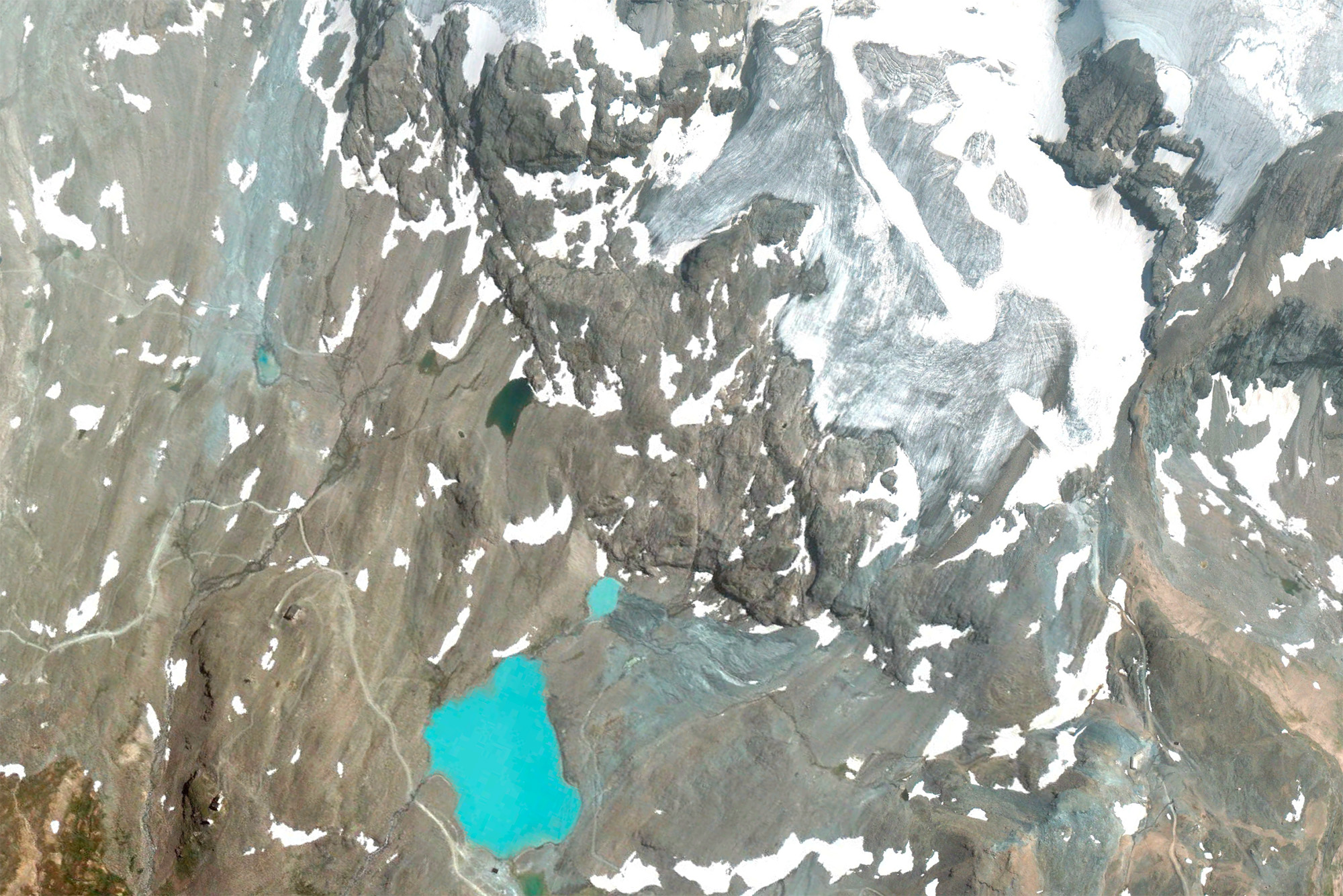
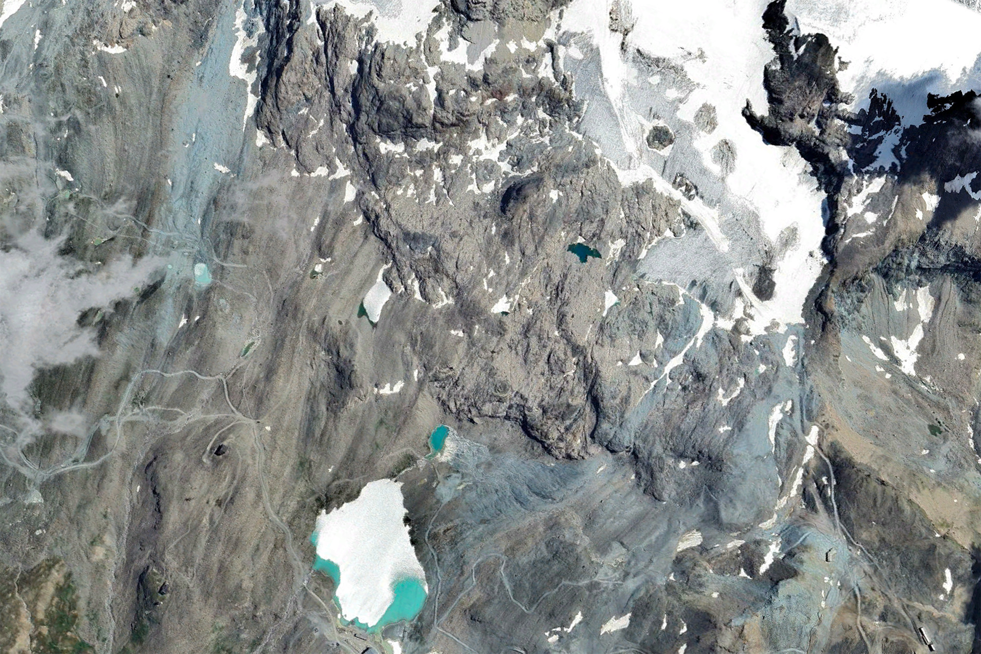
Google Earth imagery of the Breuil-Cervinia ski area from 2009 and 2025. Summer 2026 was the hottest summer on record for this region and the glaciers suffered.
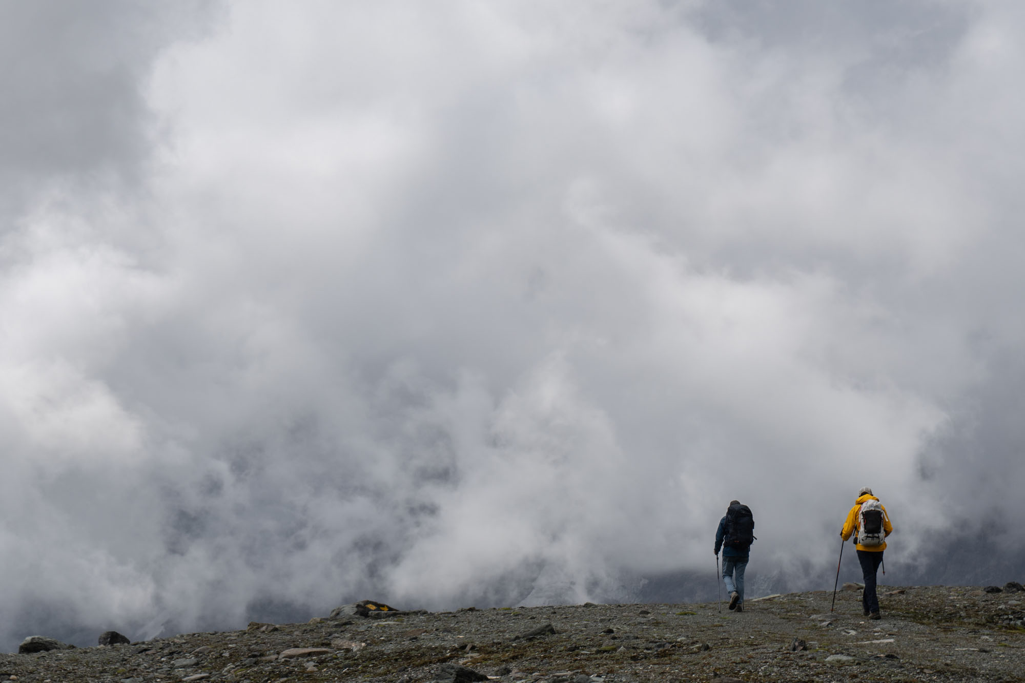
We tromped across the dire landscape with clouds and bitter wind swirling around us. On a clear sunny day one would likely be staring up at the Matterhorn and not spend too much time looking down – but with limited views our eyes focused on the terrain close by. A short snack (cappuccino and pie) at the midway lift and then the final climb to the pass.
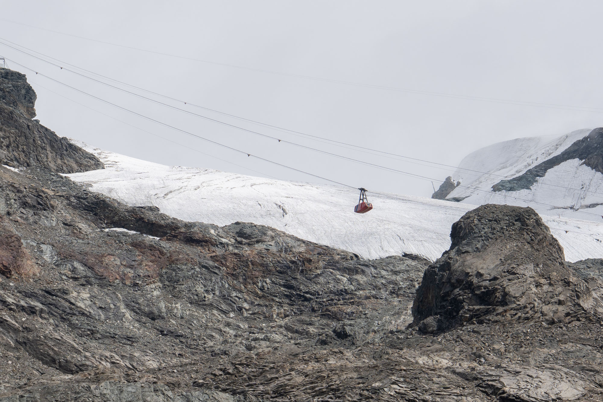
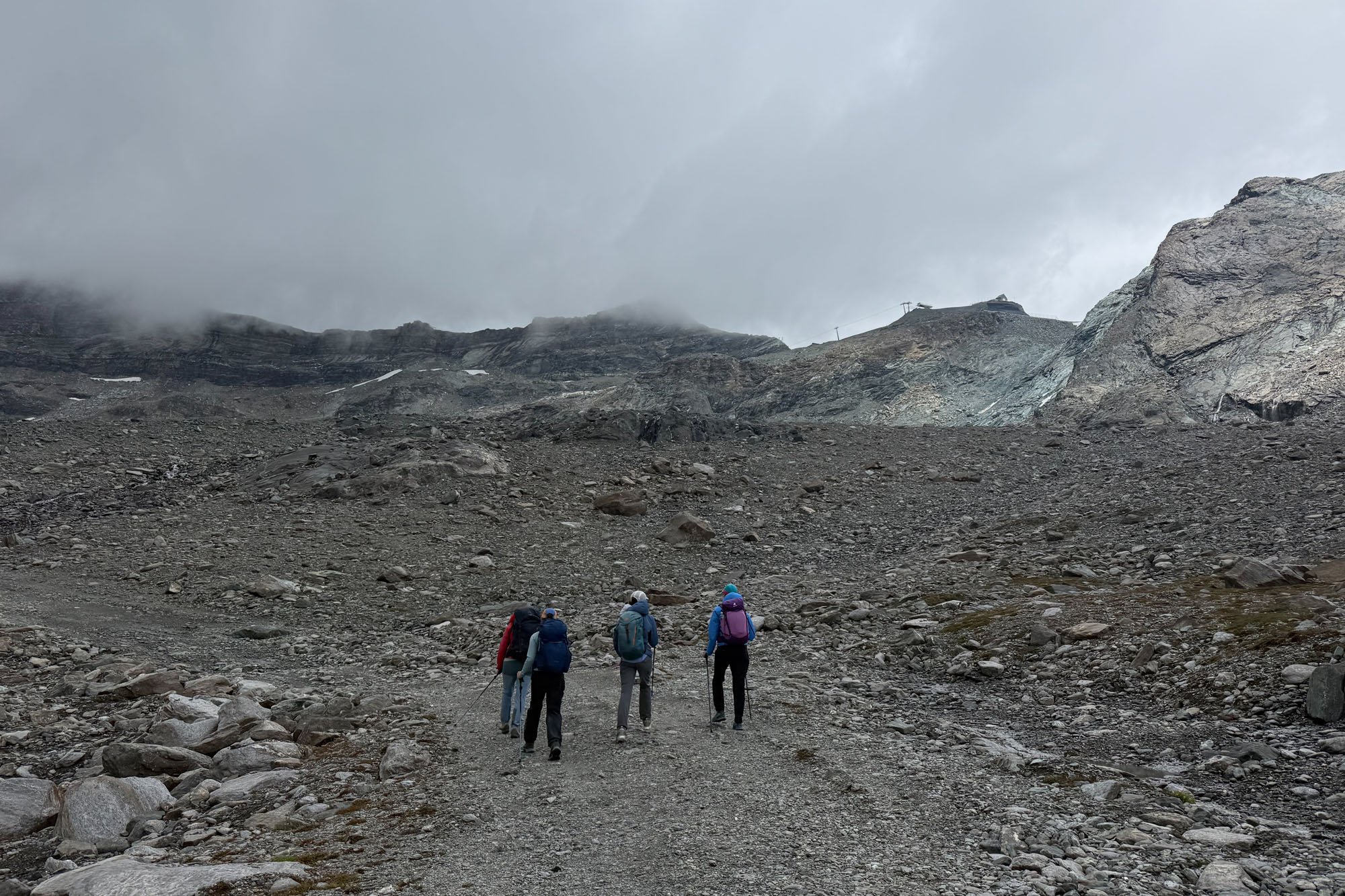
Teodulo (named for Saint Theodulus, a 4th-century bishop) Pass has been an important thoroughfare for thousands of years. A stone axe dating back to the Neolithic period (3500 BC) was discovered as the pass, as was a purse of Roman coins dated to 160 BC. These discoveries can be seen at Alpine Museum in Zermatt – however some refute their discovery as proof that the pass was used this early. Other important discoveries from the area include human remains and weapons from a traveler who fell into a crevasse in 1600 and was discovered in 1984. In the 17th century a stone building and statue of the saint were erected at the pass, and sometime in mid 19th century a mountain hut was constructed. The stone hut was eventually replaced with the existing hut and is now a fully modern building with dining, toilets and 60 beds.
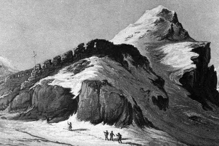
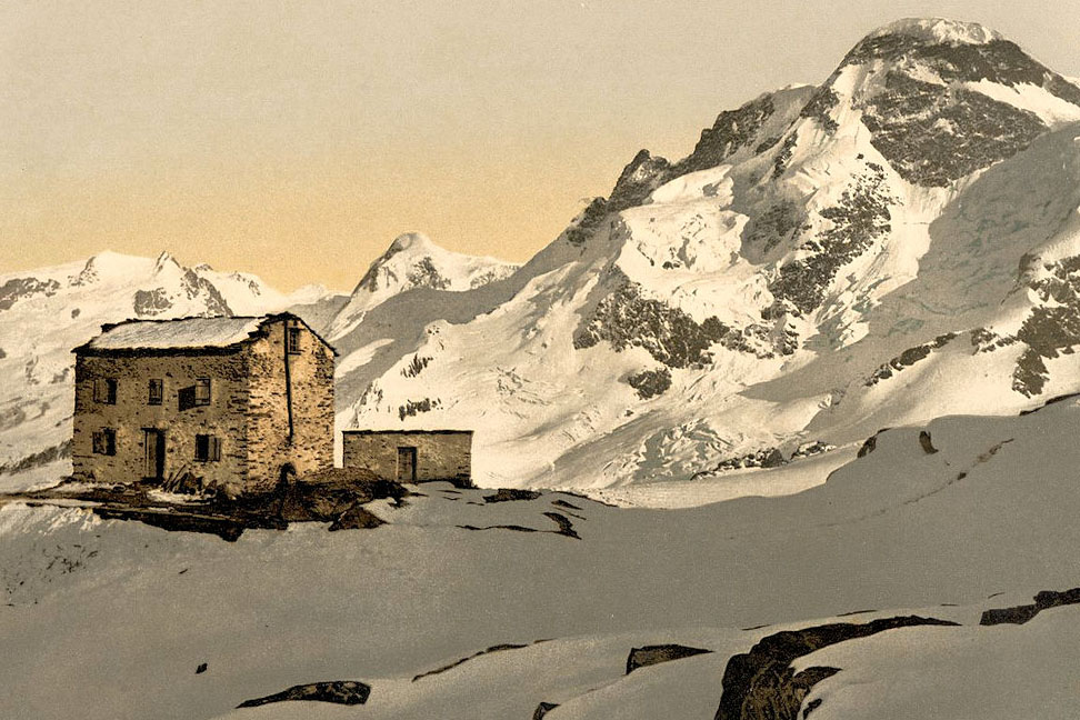
Theodul Pass today.
We reached Teodulo Pass (10,883 ft) and the hut just as the temp dropped and wind picked up and were glad to duck inside to the warmth oof the hut. The hut is mixture of après-ski bar / mountaineering hut with colorful quotes (“Dans une avalanche, aucun flocon ne se sent jamais responsable.” / “No snowflake in an avalanche ever feels responsible.” – Voltaire) adorning the walls and a well stocked bar. We also met up with my nephew who would later join me for a climbing trip.
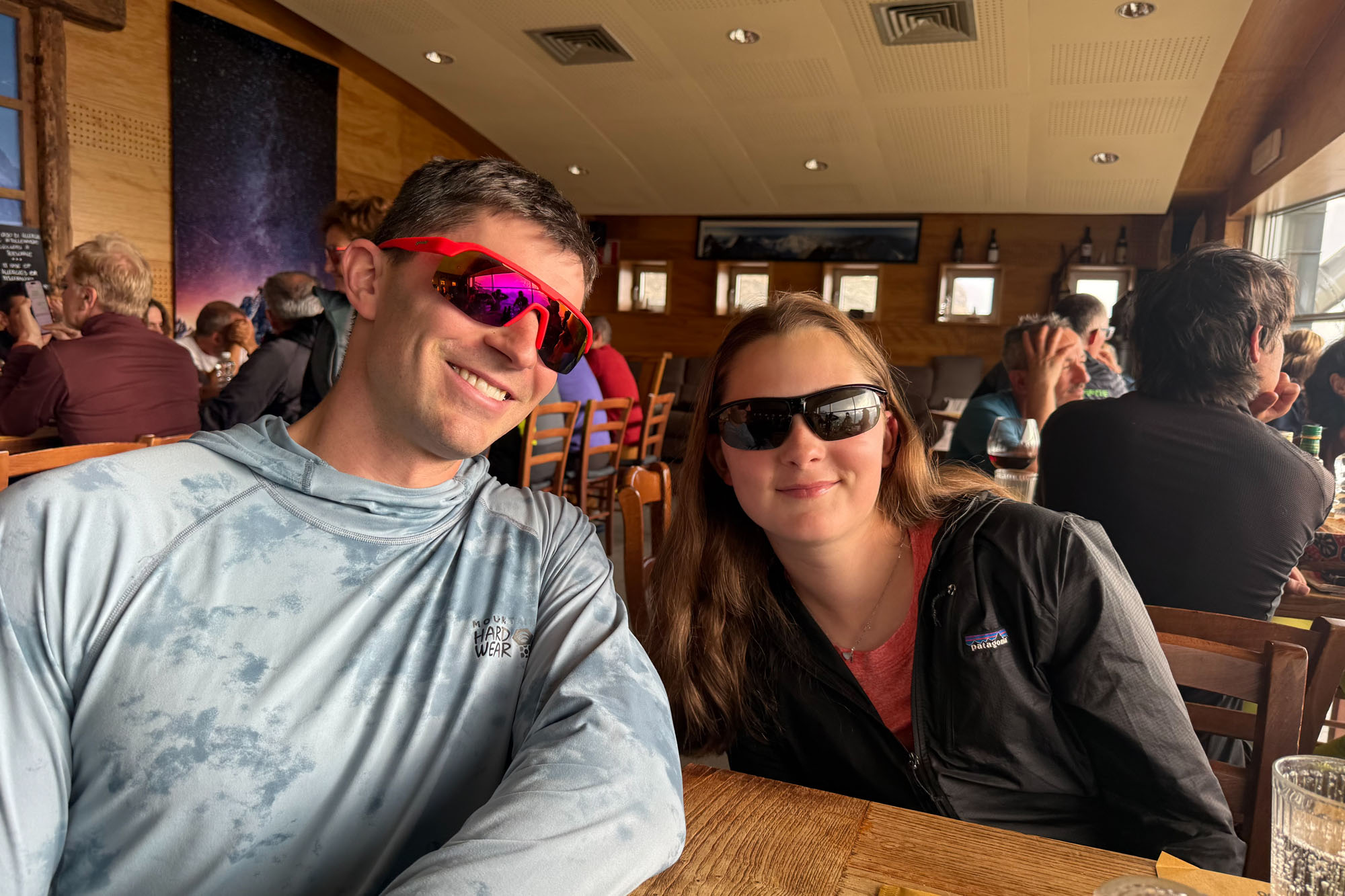
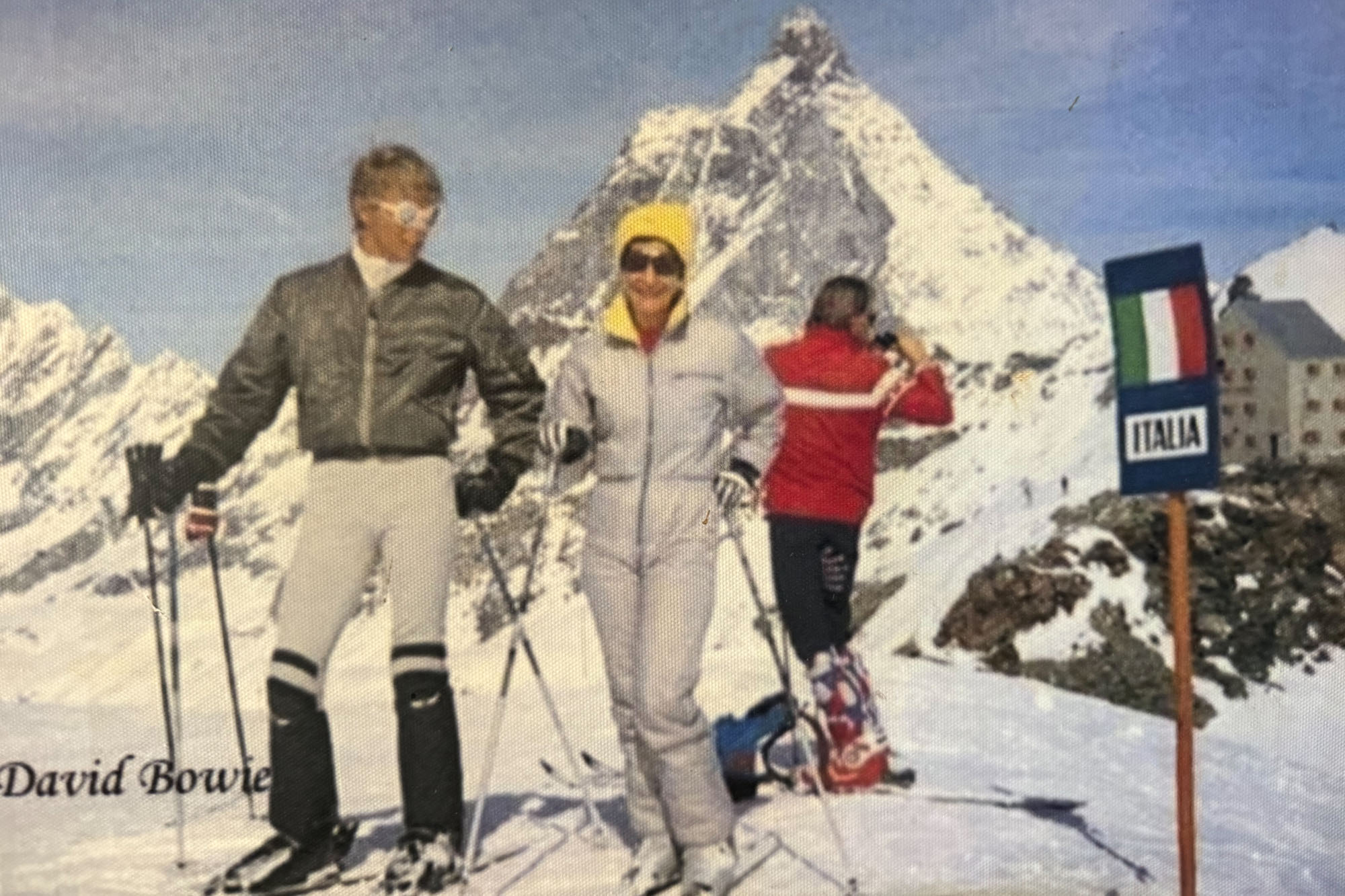
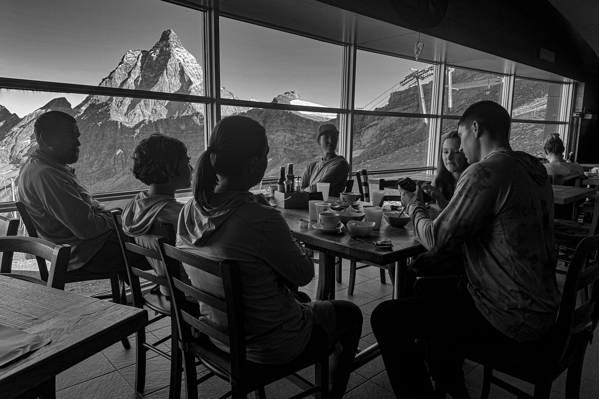
A wonderful dinner and sitting around the table talking and then turning in for our last night on the Tour du Monte Rosa.
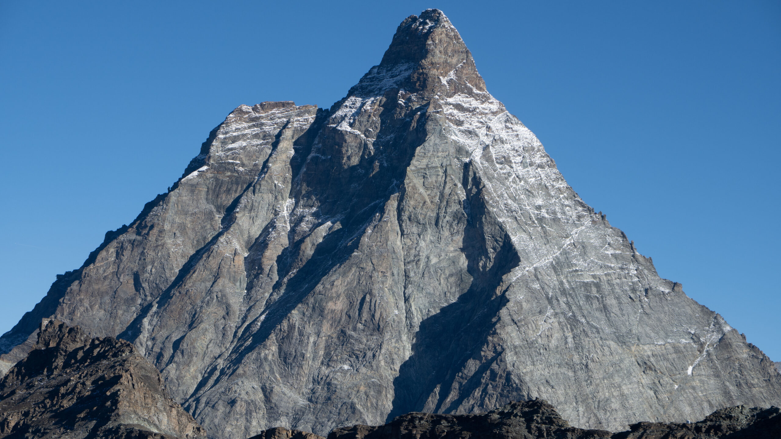
The Matterhorn on a perfect day.
Day 10: Return to Zermatt
Our last day. Out the hut door, a scramble down some rocks and then onto the Theodul Glacier and down to Zermatt. The crossing of the Theodul was a bit of an unknown with some reports of difficult travel and open crevasses – but there’s was a snow cat road and with our microspikes it was easy travel. 2 miles from the hut to the toe of the glacier then veering west and onto the Matterhorn Glacier trail and down to the Schwarzsee tramway.
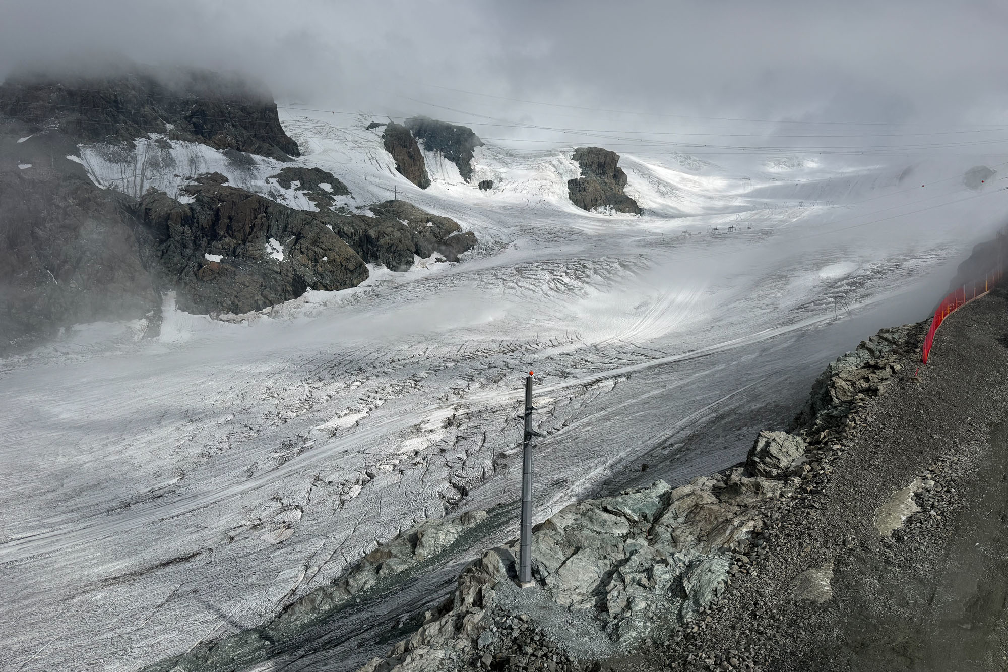
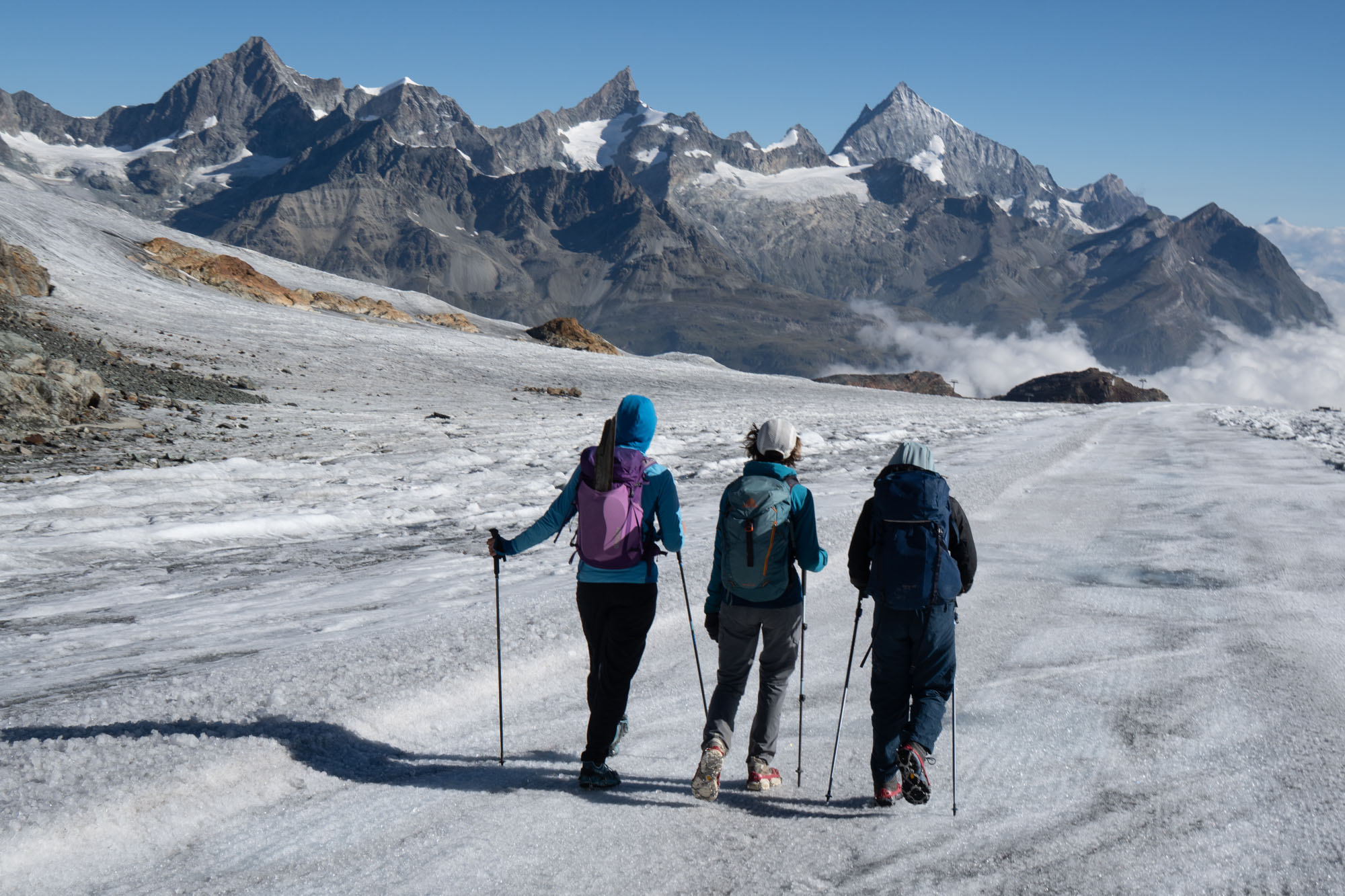
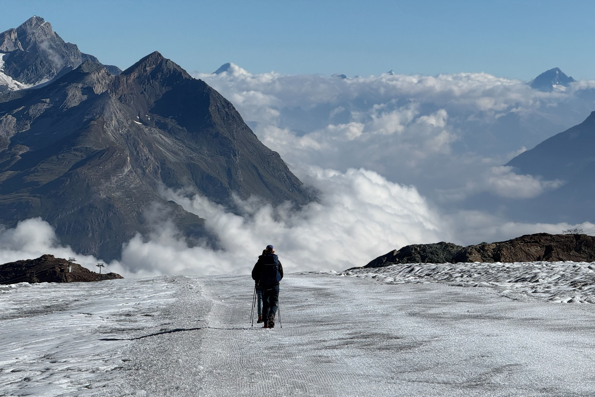
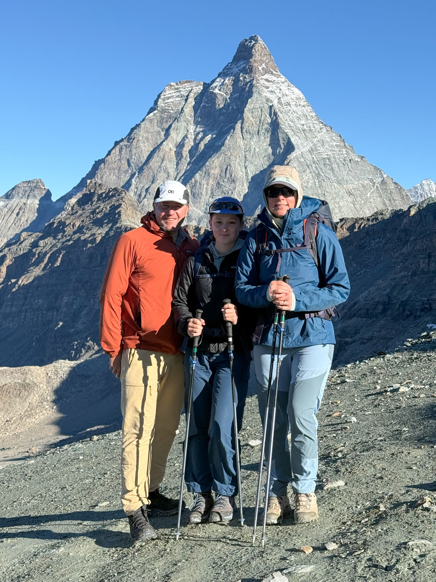
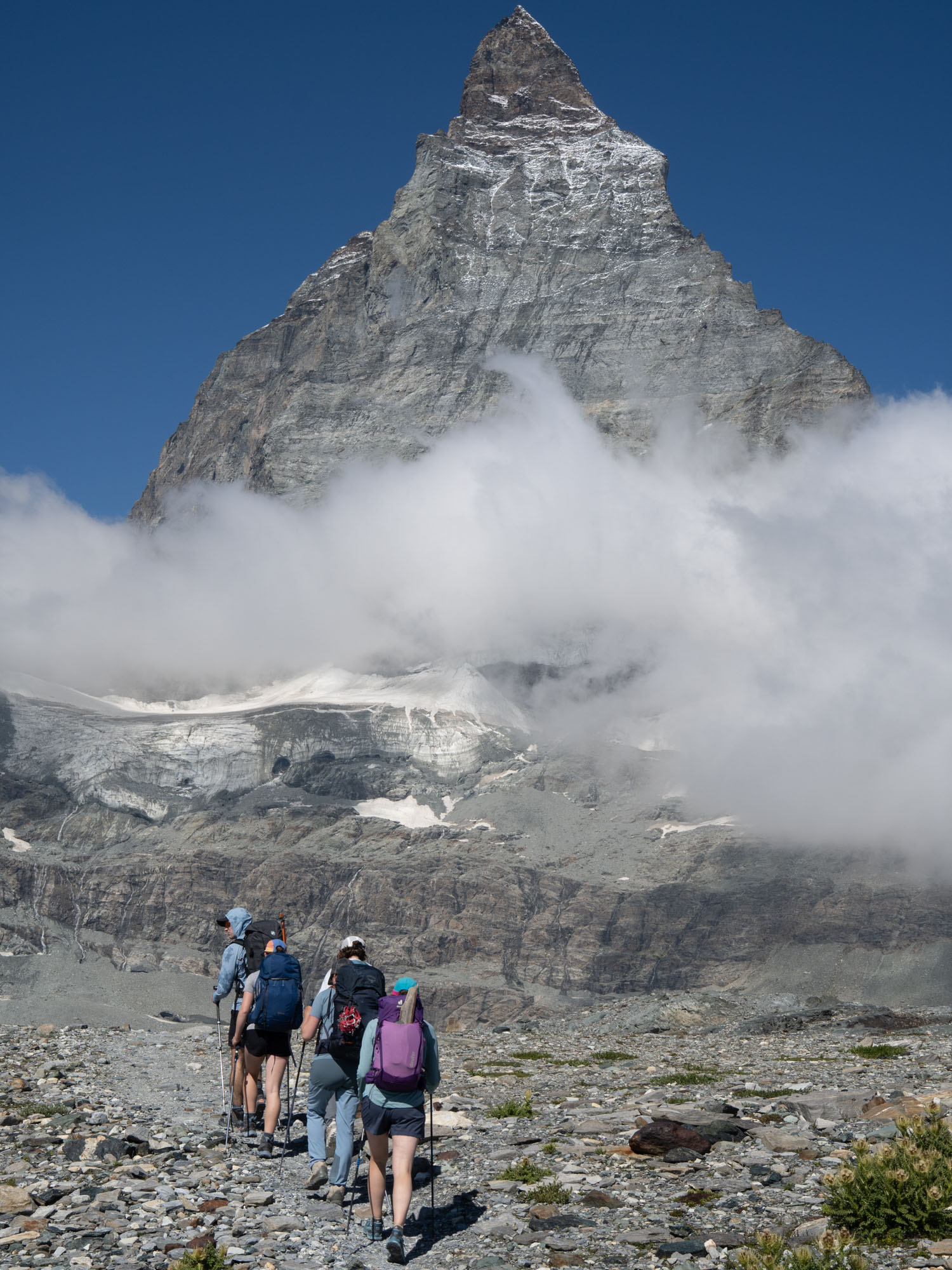
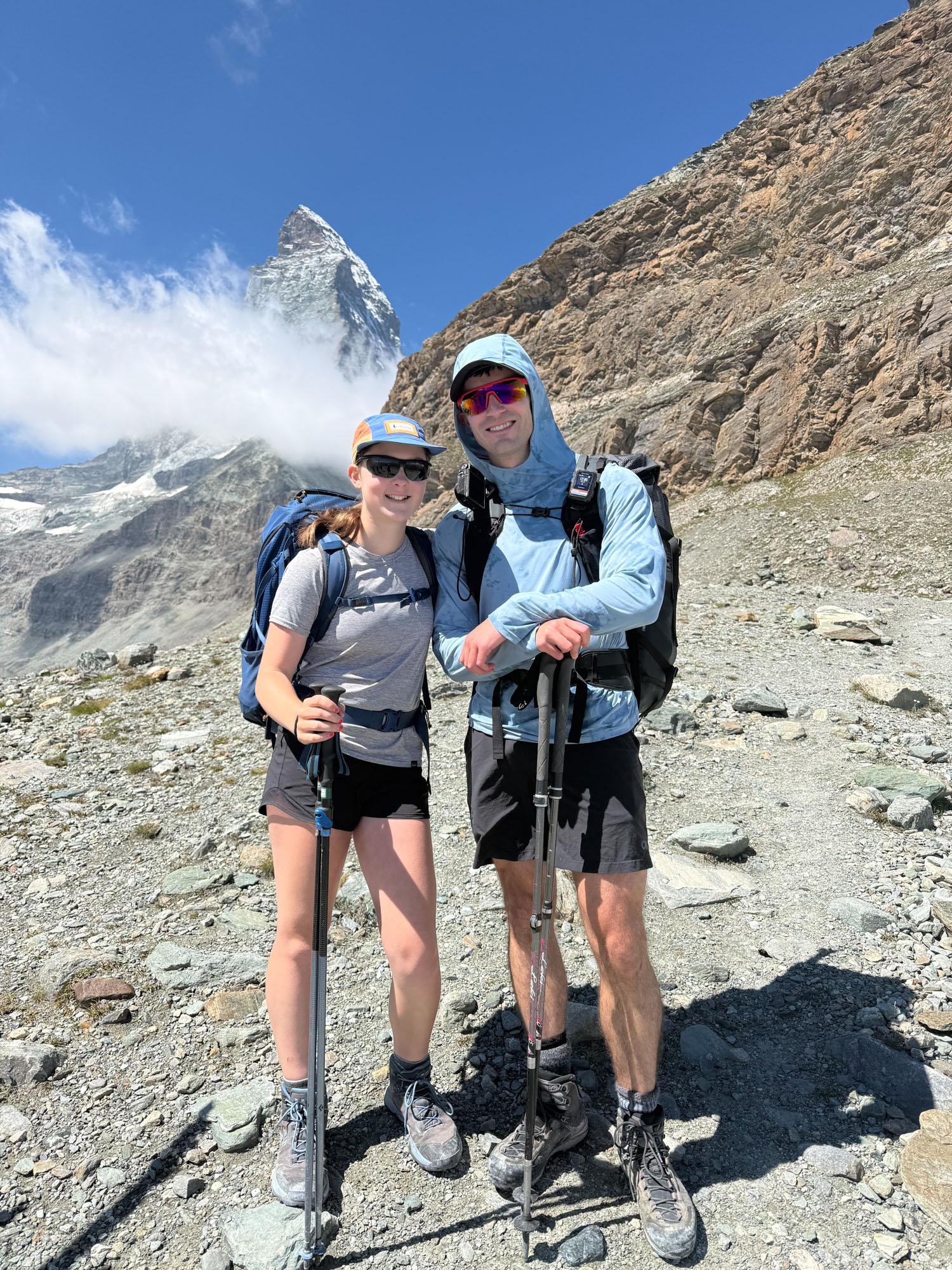
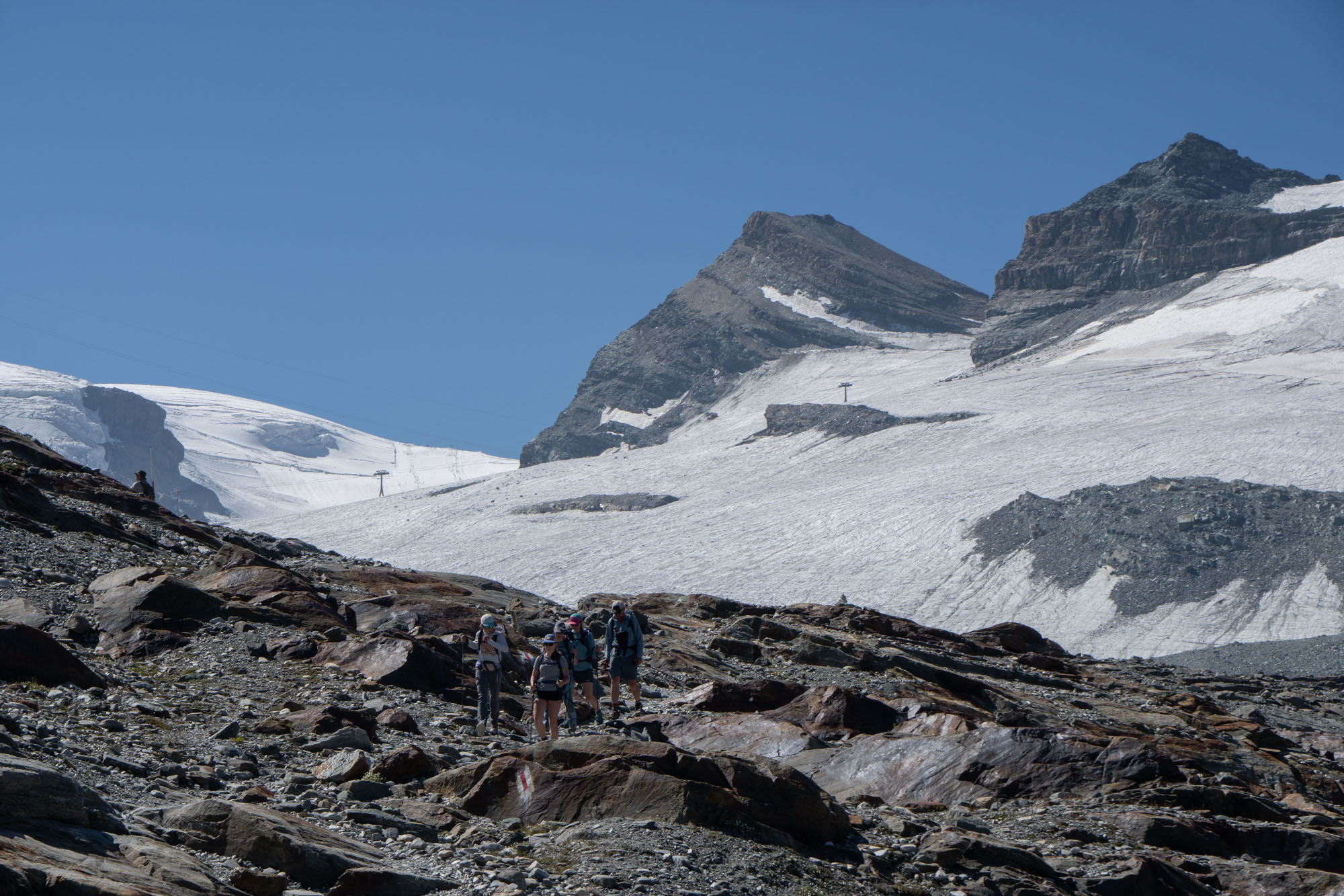
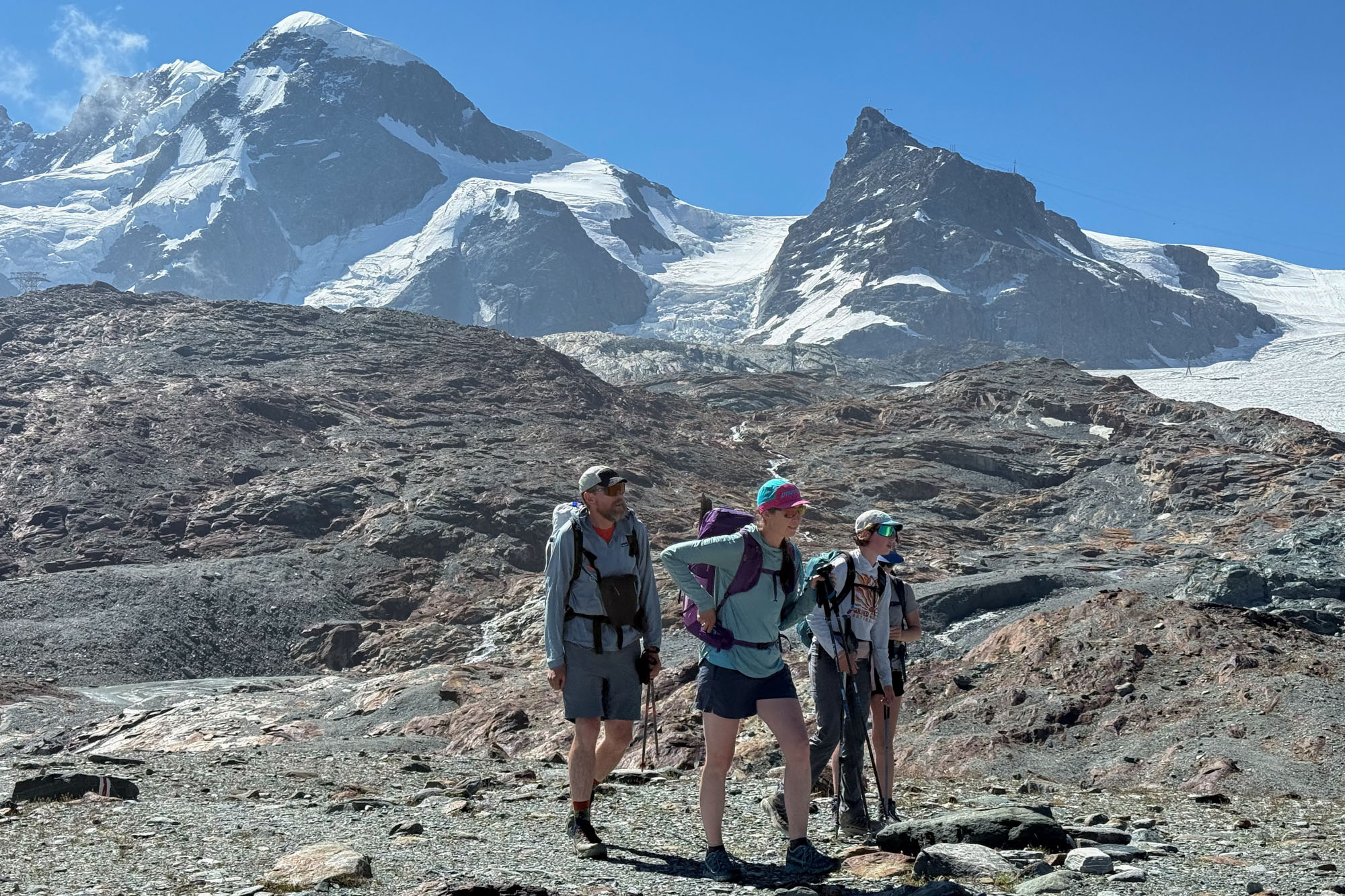
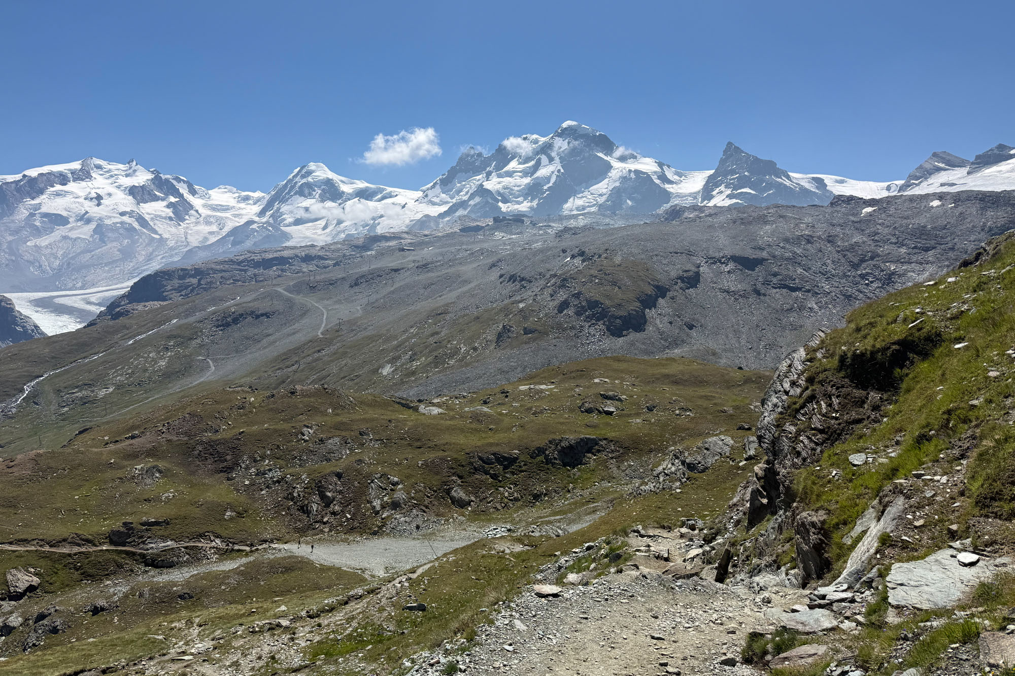
We ate lunch at a restaurant near the Schwarzsee station and then hopped on a tram to save our knees from the 3,000 ft downhill to Zermatt. A shower and clean clothes and food and walking around Zermatt and falling deeply asleep.
And just like that the trip was over. The kids did great. Total distance excluding lifts was just under 100 miles with around 23,000 ft of climbing in 10 days. A huge trip for a 12 and 13 year old. That said – Isabelle has gotten spoiled. She now only wants to do trips where someone carries her pack and she gets a shower every night. We’re going to have to rethink the future. Something without pie and cappuccino.
Resources
This is a world class trek and if you like walking holidays you’ll eventually read about it. There are 3 ways to do it: (a) join a fully guided trip and just show up and go – this is the easiest (and most expensive) way. Alternatively (b) you can book a pre-packed self-guided trip. This is where a tour company books your rooms / huts but doesn’t provide a guide. Finally, you can (c) do everything yourself and either book it all using google or use a service like we used. This is the most cost effective and gives you the most flexibility and you can pick and choose where you want to stay and even opt to camp if you want. Some other tips:
- If you’re coming from the West coast fly with Condor. This is the fastest easiest way to Europe. They fly in and out of Frankfurt and you can either take a train to Zermatt (€180) or fly to Zurich and then take the train.
- Swiss Half Fare Card: Purchasing this gives you half off train, bus and tram rides in Switzerland. You’ll need to do some excel work to see if it’s worth it or not. If taking the train from Frankfurt and you’re planning on getting the card, book a train to the border then buy the next ticket for remainder of the way to save €100.
- The Hiking Club: This is what we used for planning. It’s excellent online app for mapping and booking Euro treks.
Gear
- If you’re staying at huts and hotels you can go light – a 35L backpack is plenty.
- Bring shorts (it gets HOT), hiking clothes, rain gear, and a warm layer (either fleece or light puffy). I also took a clean shirt for dinners.
- A sleeping liner is required for all the huts.
- For maps we downloaded a GPX and used Gaia. The GPX we got was from the Hiking App but if you toggle Gaia to show public tracks there are a hundred to choose from. You can buy a paper map from multiple online shops (google “monte rosa tour paper map”).
- Several of the alpine huts do not have potable water and they ask that you purchase water from them at €5 per bottle. The water in the bathrooms either comes from rain, snow or glacier melt so if you take a Steripen you can save some money – and avoid buying plastic bottles.
- Trekking poles are must.
- Microspikes are needed if going to the Britannia and descending the Teodulo. If you don’t want to descend the Teodulo you can fully skip it by taking the Matterhorn Express lift.
Lodging
- Europahutte: Pretty much the only place to stay midway through the Europaweg unless you drop to the valley. That said, it’s an amazing place. The host and staff are incredibly friendly and the rooms and food are excellent.
- Grächen / chez BeNi: A wonderful hotel and a wonderful host. Rooms were beautiful and comfortable and the host put out breakfast for us super early knowing we’d want to get an early start.
- Saas-Fee / Europa Hotel: There are a number of hotels in Saas-Fee and this one was moderately priced. The price includes a tram ticket, breakfast, free coffee machine and access to the spa / hot-tub. The kids loved this hotel because of the hot tub. I loved the instant macchiato button.
- Britannia Hut: One of the most beautiful mountain huts in the world. If you have an extra day to stay at this hut it is well worth it.
- Macugnaga / Dream Hotel: Macugnaga is a charming town with several small inns. We stayed at the Dream Hotel which had a hot tub that the kids enjoyed. The individual rooms had red heart shaped sinks and a hearts carved into he bed backlit with a nightlight. Dreamy. Hikers need to leave early from this hotel (6:30am) and unfortunately they don’t offer an early breakfast so you have to buy snacks the night before. If hiking clockwise you can walk to Ristorante Lanti in about an hour and get your morning coffee there.
- Rifugio Pastore: A beautiful hut that feels like a mountain retreat. The food is amazing, the shared rooms are comfortable and they even have (semi) hot showers.
- Albergo del Ponte: This hotel sits right under the Gressoney / Salati gondola. The food is amazing the rooms are comfortable. It’s also a great starting point for several afternoon / evening hikes.
- Rifugio Guide Frachey: This hut is busy and crowded and not as plush as the other places – but that is the charm. The guests are younger and the hosts are teaming with energy. A fun place that I recommend.
- Rifugio Teodulo: The hut at the pass and depending on direction, is either your first or last hut. It’s the highest hut on the route and you’ll either have outrageous views or it will be cold and wintery and you’ll never step outside (possibly both). Good food and drink and beds.
- Zermatt / Jugendherberge. The hostel is quiet, clean and has laundry services and a good breakfast. If you have a large group you can book a room that sleeps 6 – otherwise you need to share rooms. They have lockers for gear for short stays – but didn’t want us to store gear for our entire trip. We begged and eventually they allowed us to use the lockers – which was nice because otherwise it would have cost us $125 to store luggage.
- Zermatt / Peaky Readers: I also stayed here for a couple nights. Nice clean rooms – not as cheap as the hostel but you don’t have to share rooms. They have a luggage room where you can store gear, but it is not locked. No breakfast but there’s a coffee vending machine.